
Bolinas Ridge Trail
Trail length: 11.1 miles (Bolinas Ridge Trail North: 6.2 miles from trailhead at Olema to Randall Trail. Bolinas Ridge Trail South: 4.9 miles from trailhead at Bolinas to Randall Trail.)
Time: 5.5 hours one way, hiking 2 miles per hour
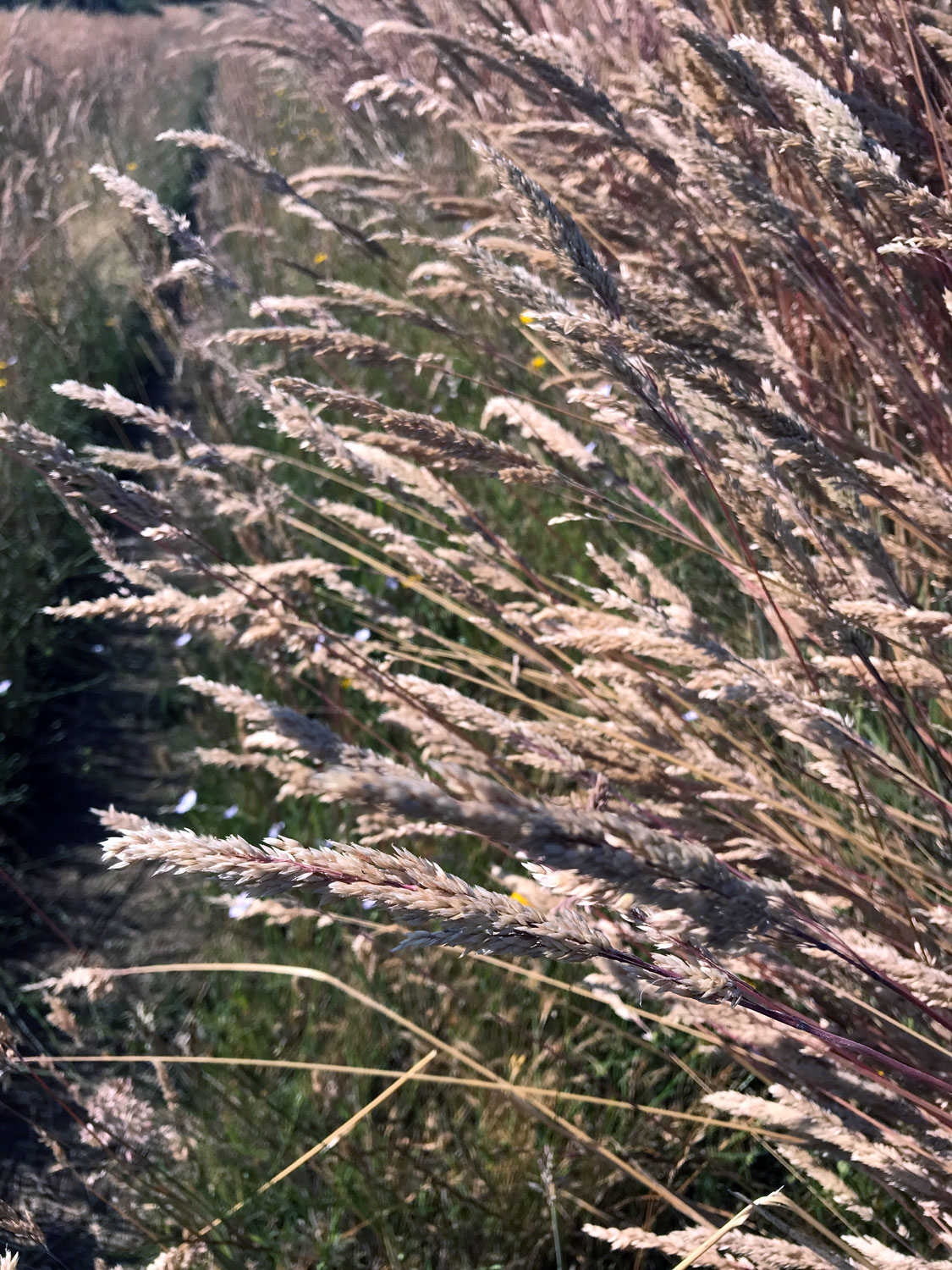
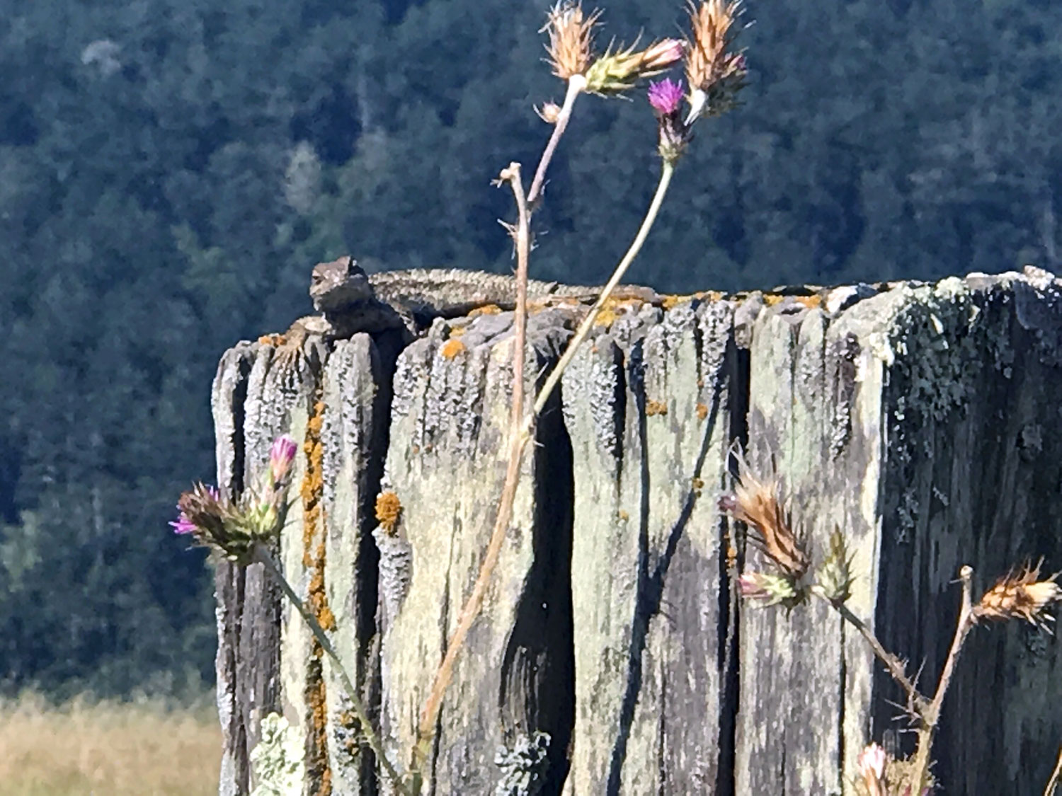
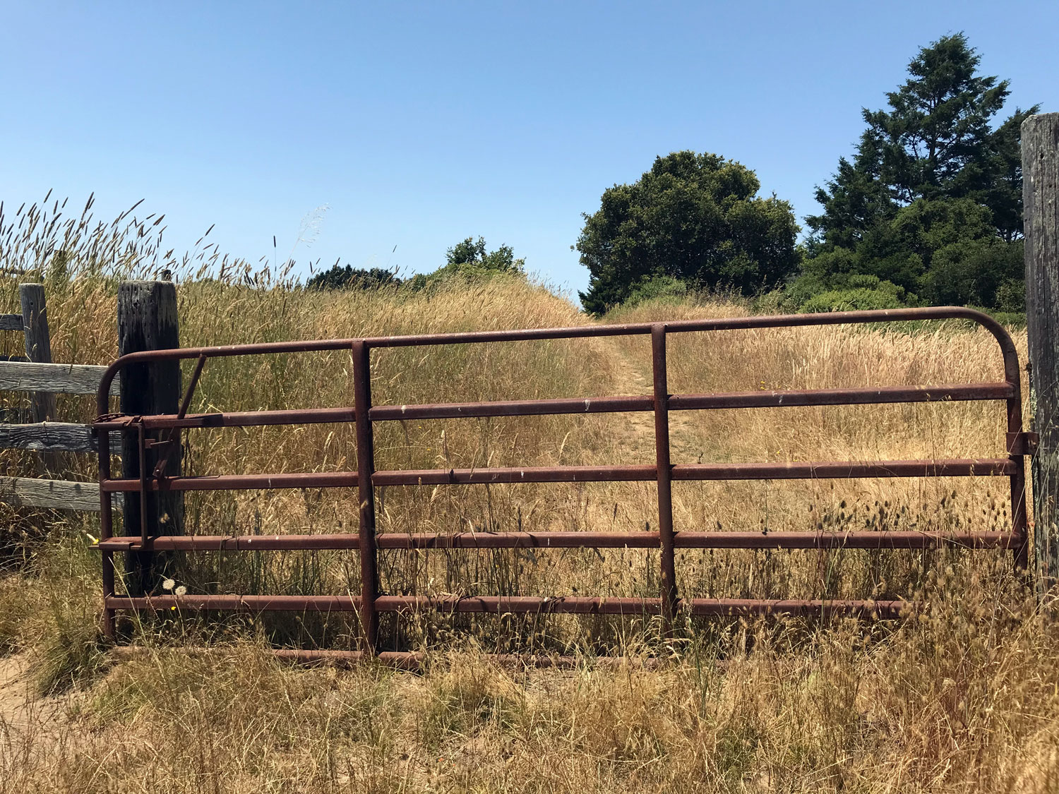
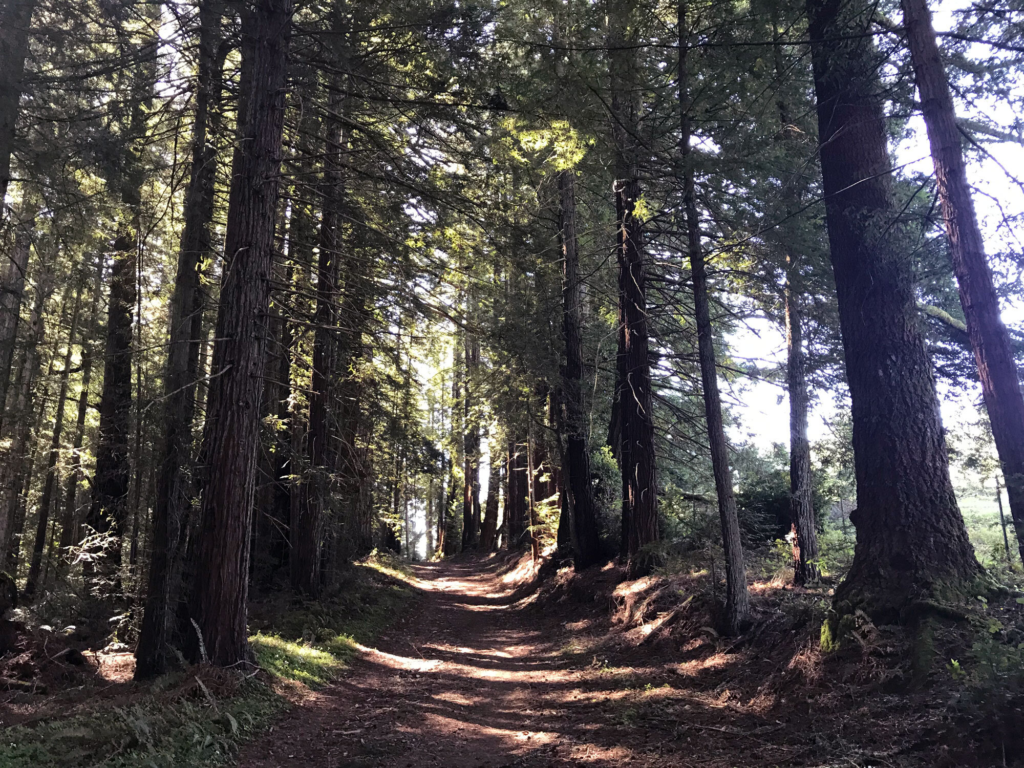
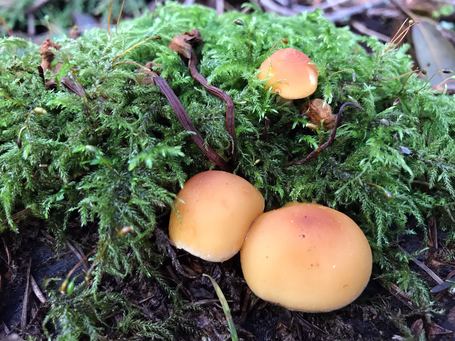
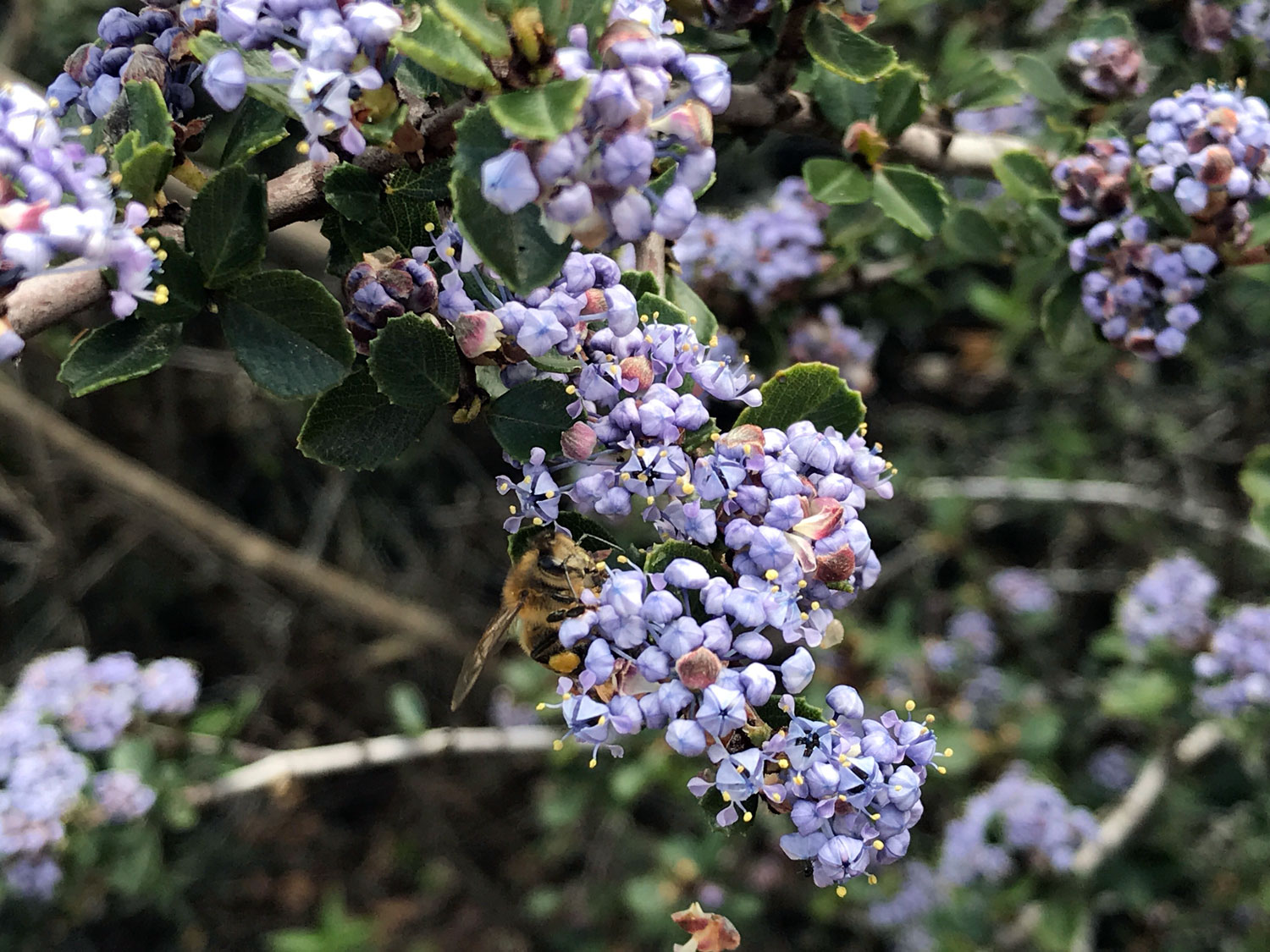
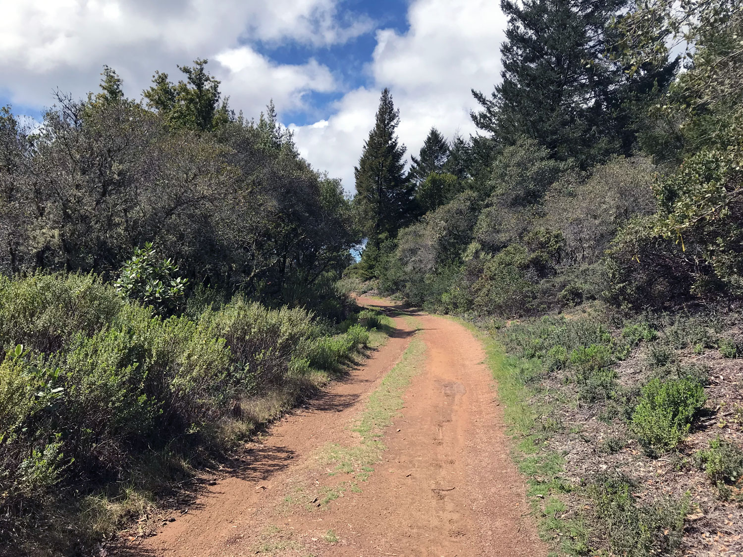
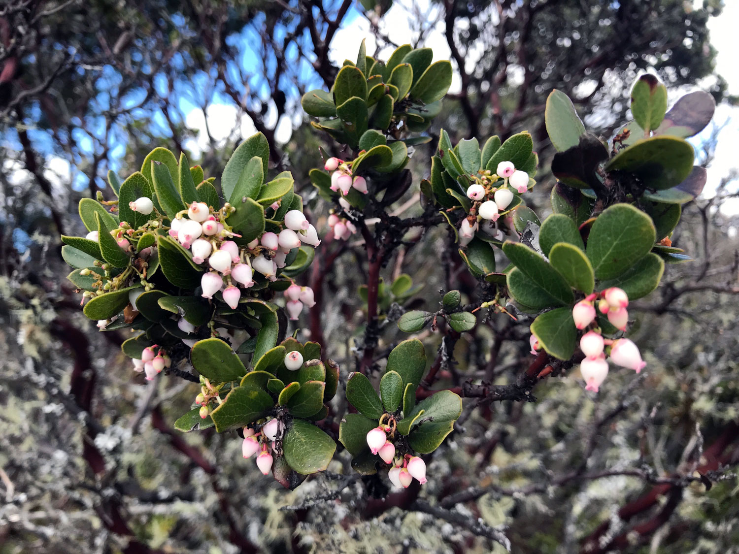
Terrain: sloped, grasses, pasture, mixed oak, bay and fir forest, redwoods, madrone, manzanita
Restroom? No
Biking? Yes, it’s a popular biking trail
Parking: Yes, along the road near the trailheads
Dates visited: 3/29/19, 6/28/19, 7/5/19, 2/8/20, 7/26/20, 3/12/21, 3/26/21
The Bolinas Ridge Trail was the last trail I hiked in July 2019 to complete hiking all the trails of Point Reyes. I divided this 11-mile trail into three segments to fit into easy day hikes: Olema to Randall and back (12.4 miles); McCurdy to Bolinas and back (10.6 miles), and Randall to McCurdy and back (6.6 miles) — a total of 29.6 miles to hike an 11 mile trail! However, the ideal way to hike the Bolinas Ridge Trail is as a shuttle hike where you bring two vehicles and park one at each end of the trail. Or, simply to break it into two segments: Olema to Randall (12.4 miles roundtrip) and Randall to Bolinas (13.2 miles roundtrip).
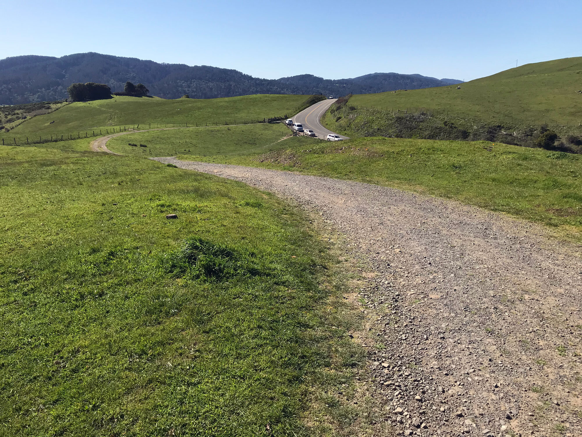
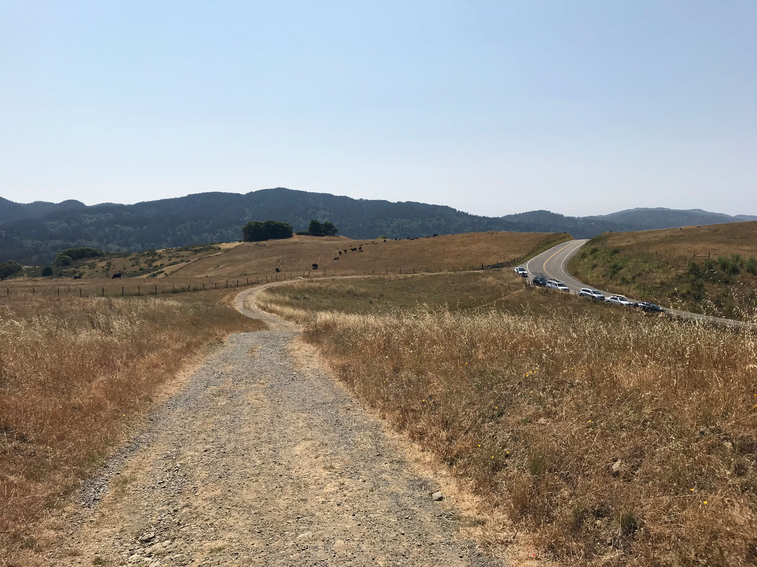
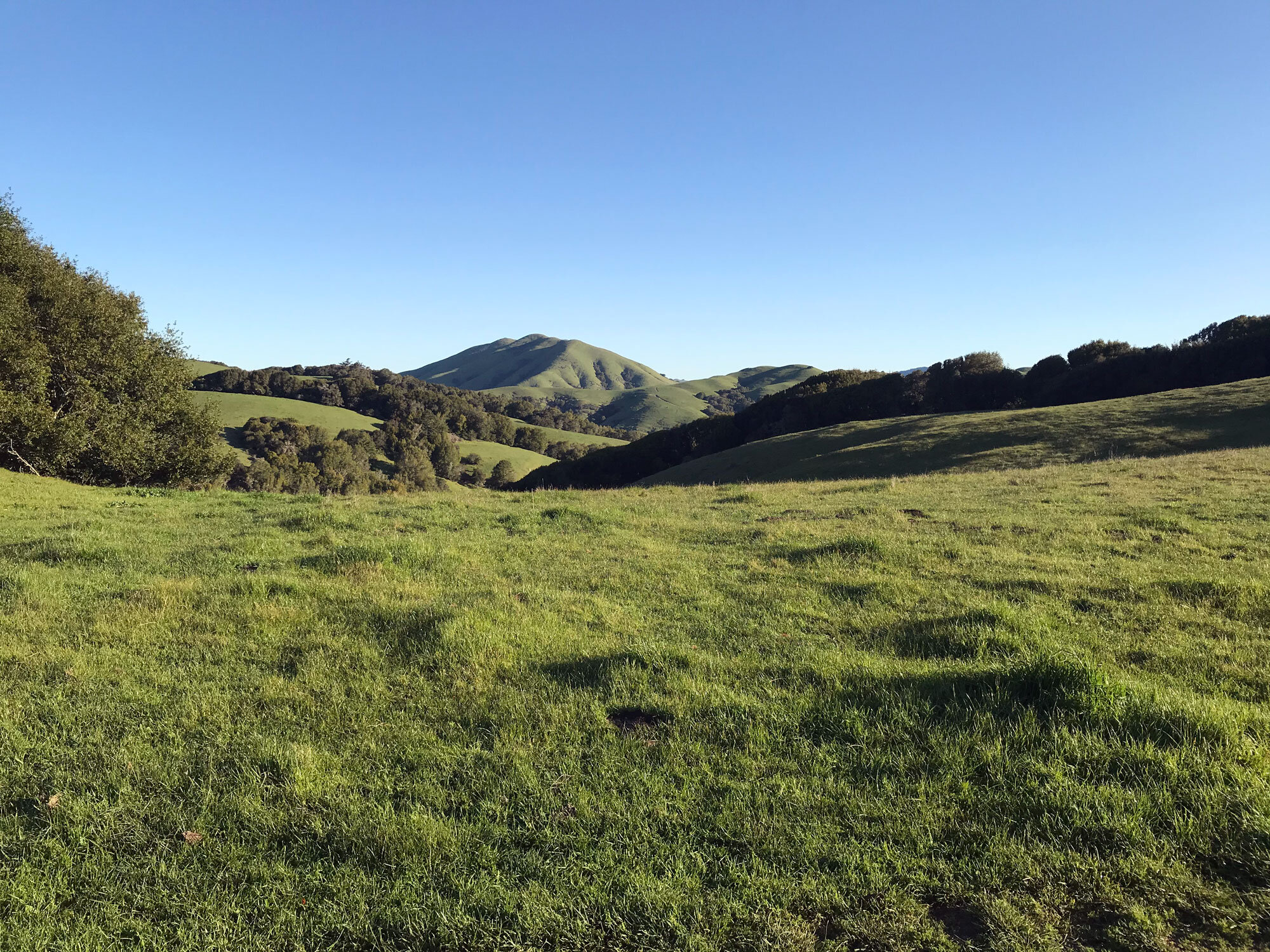
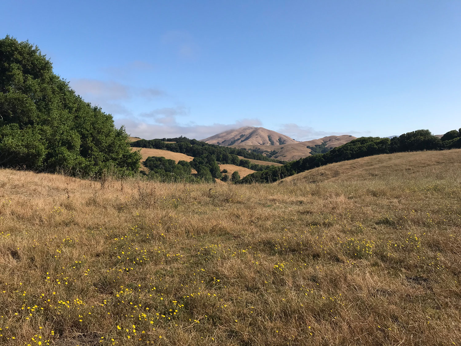
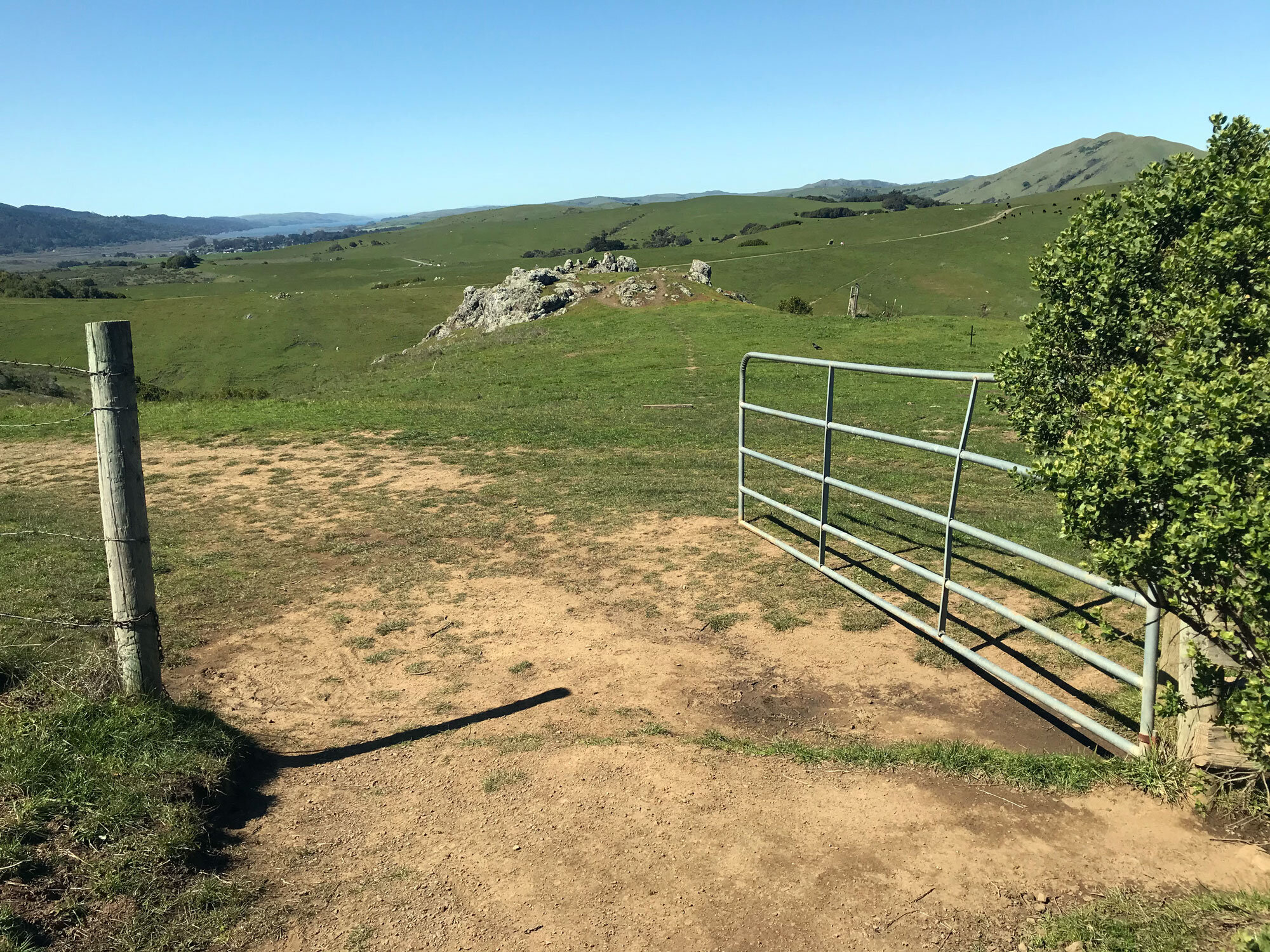
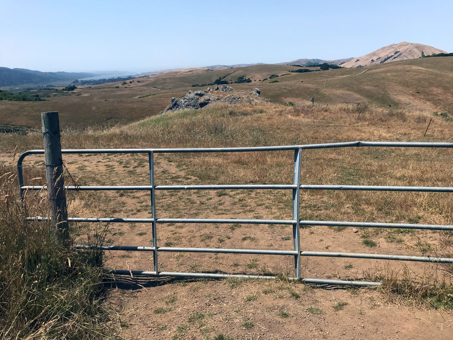
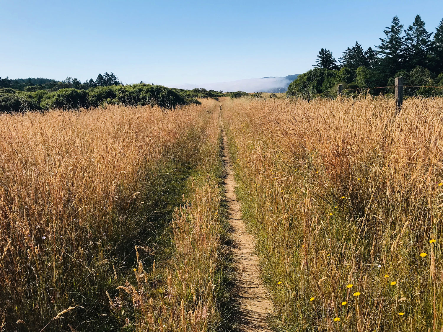
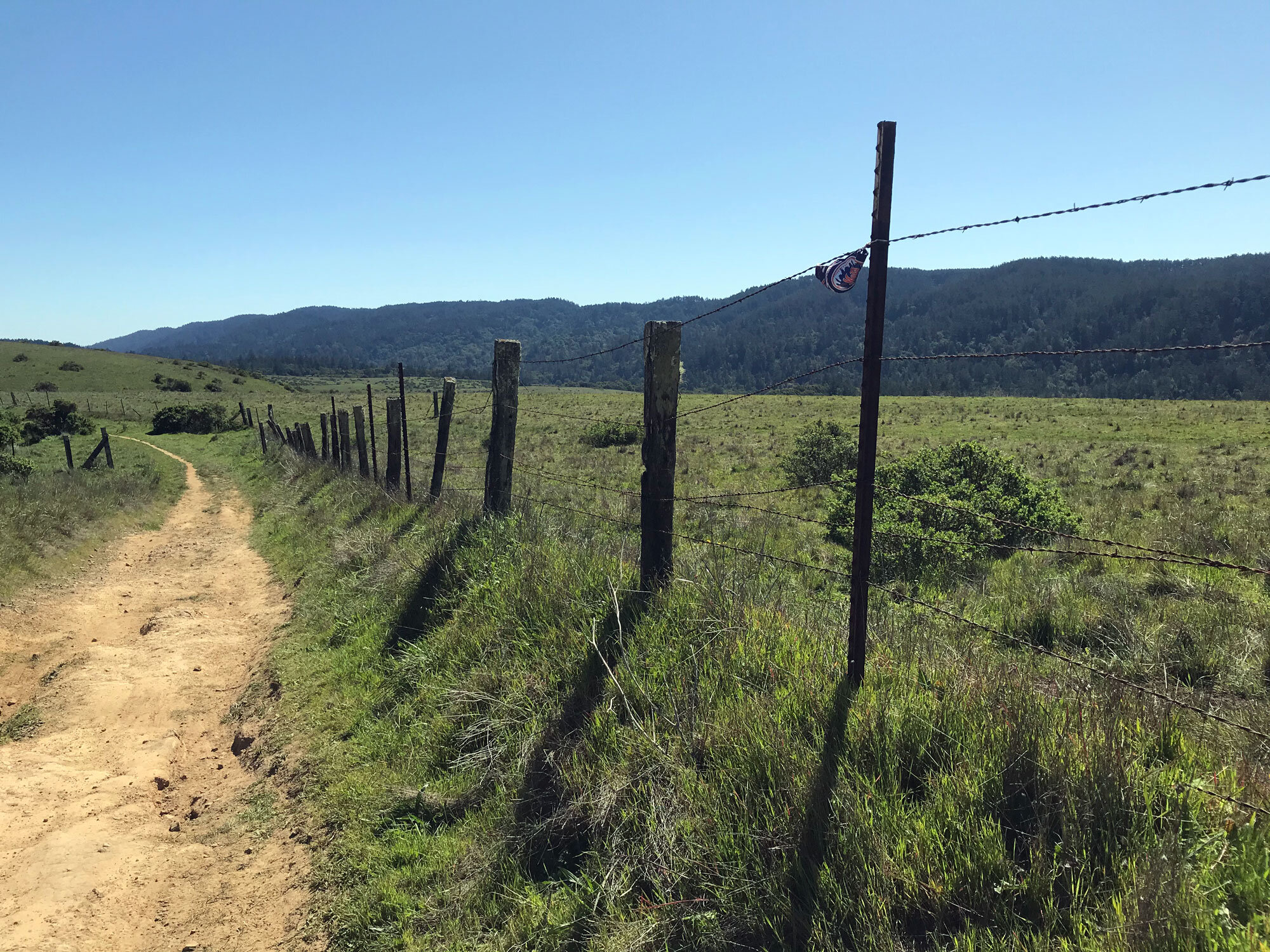
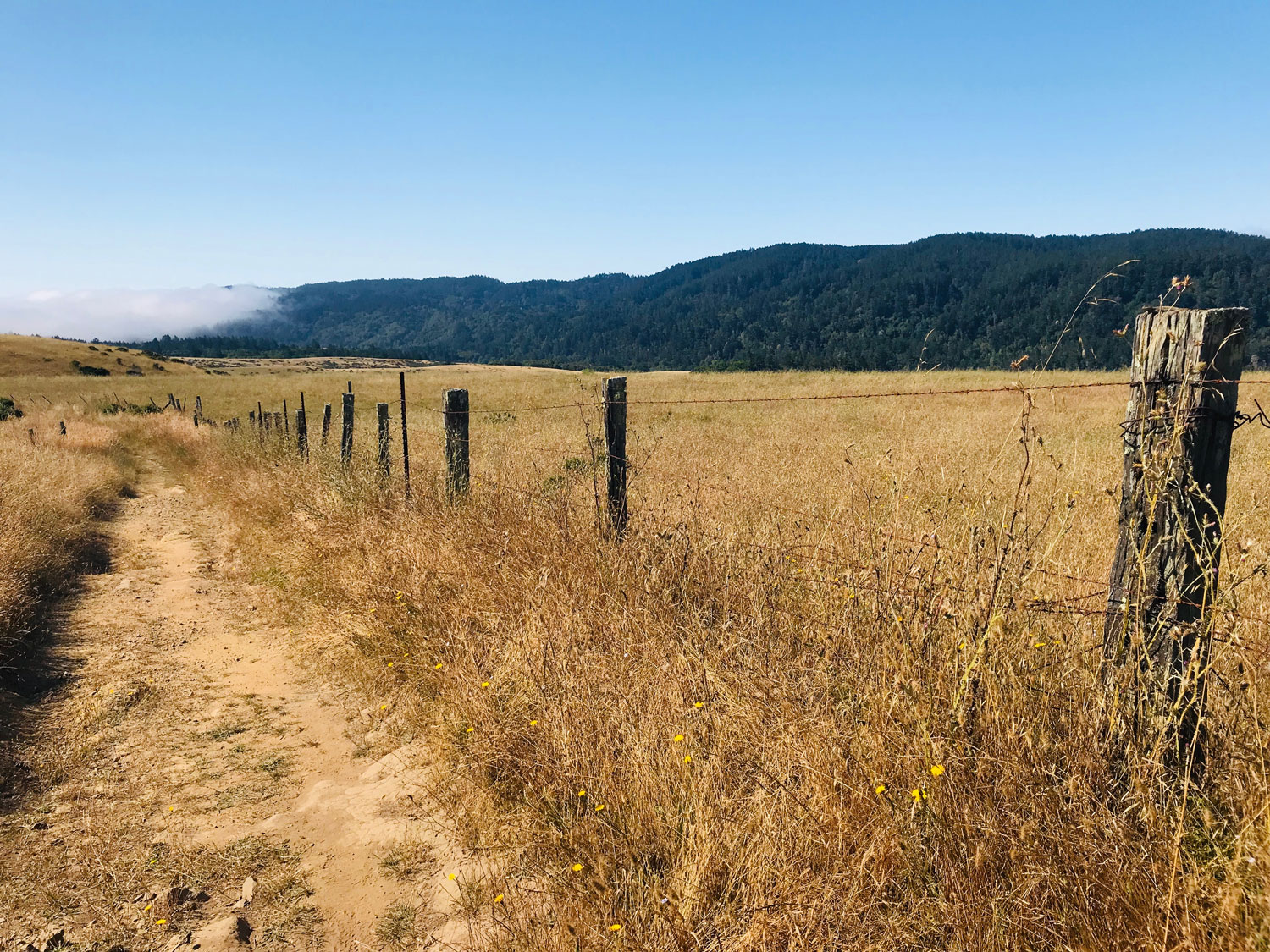
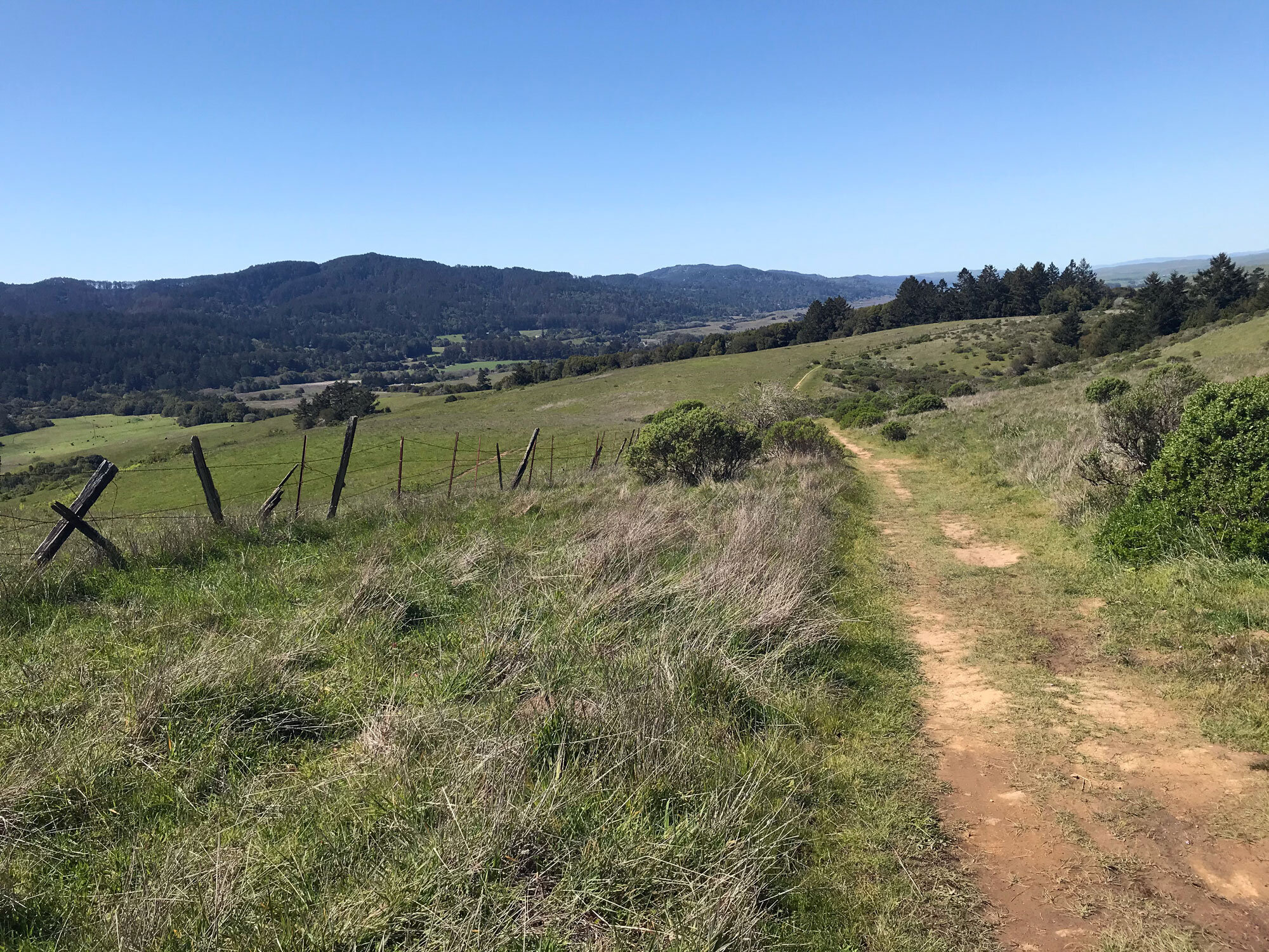
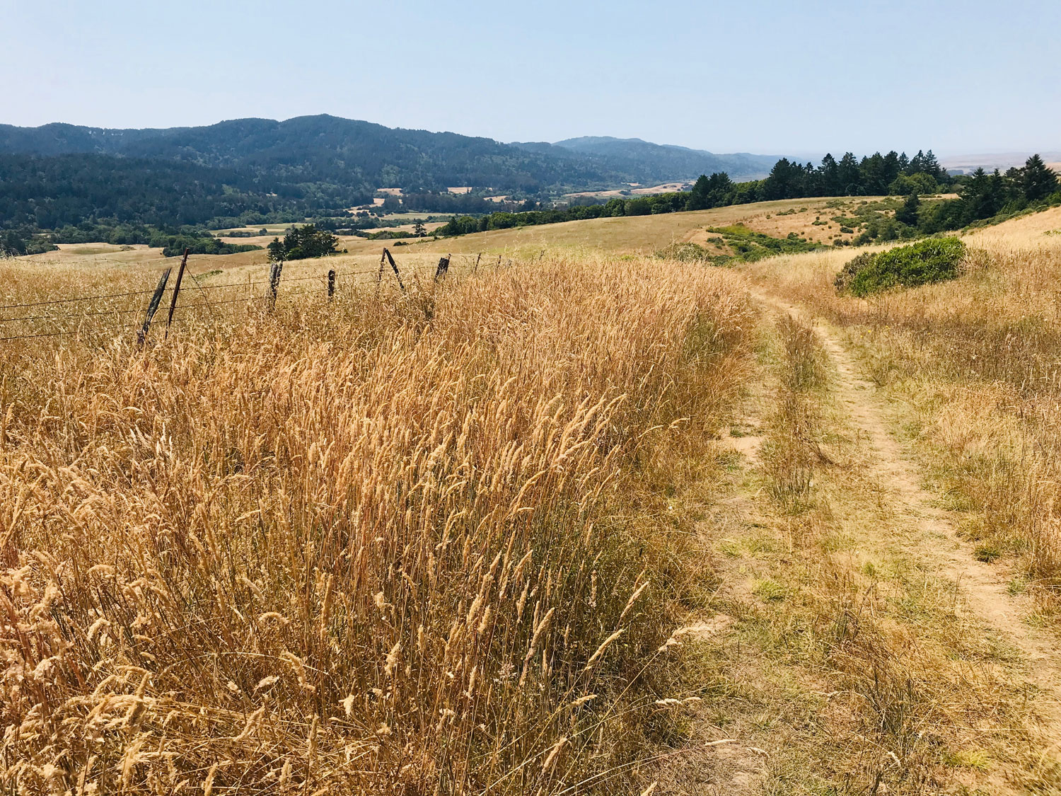
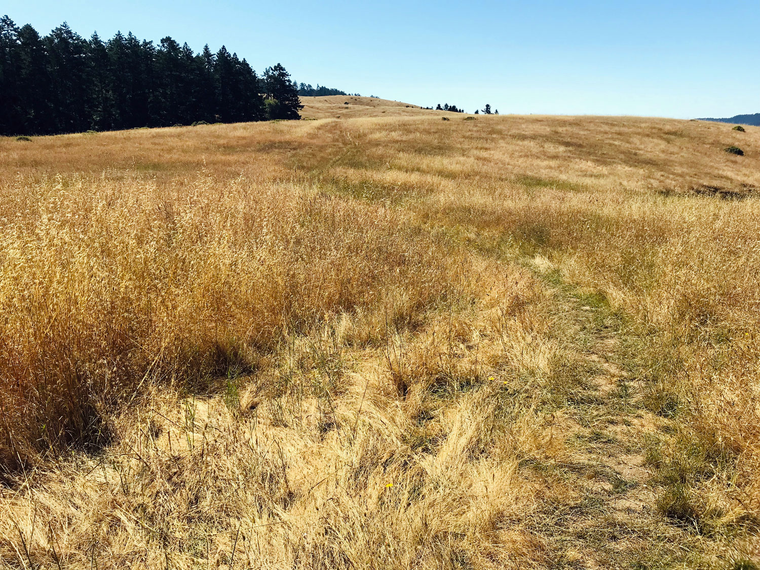
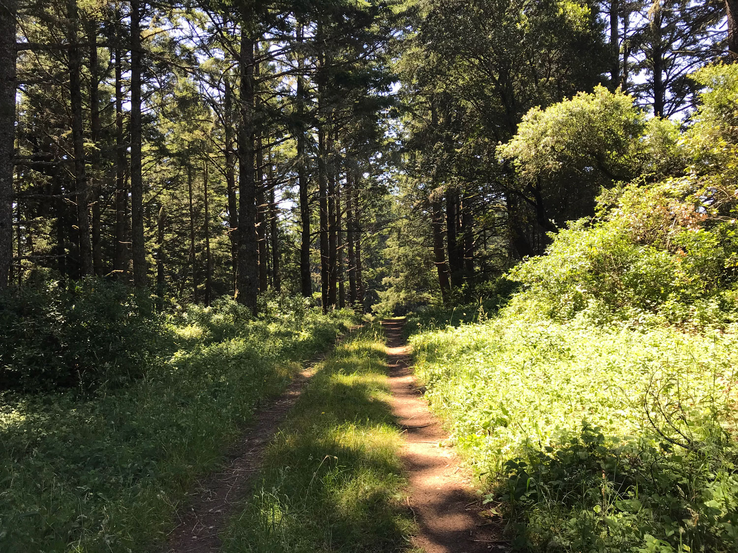
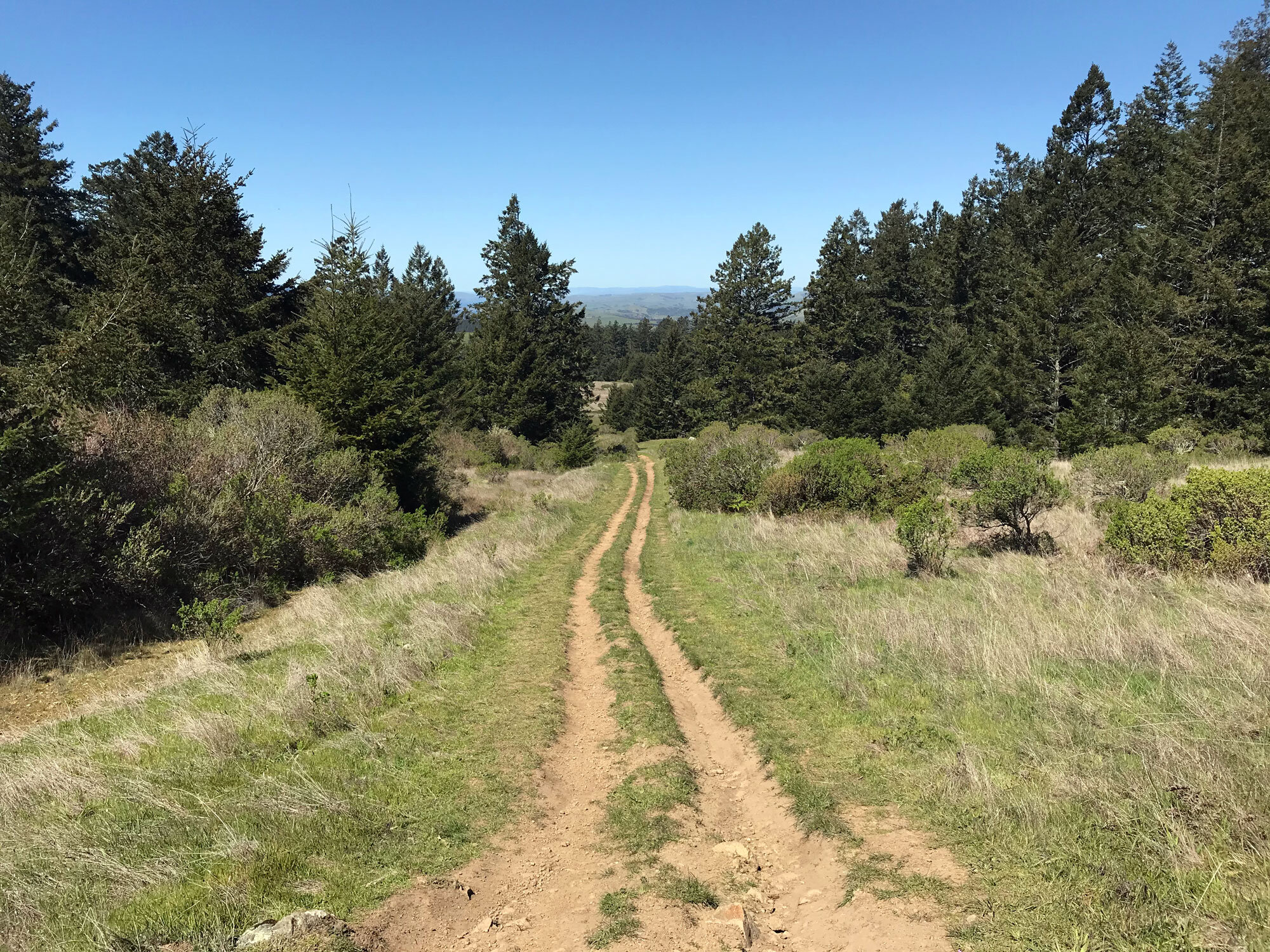
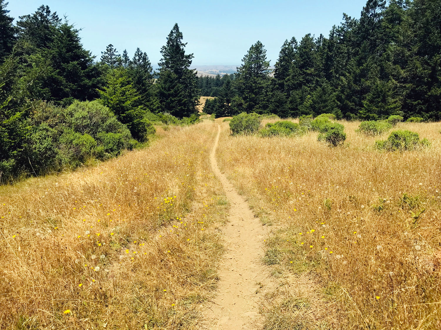
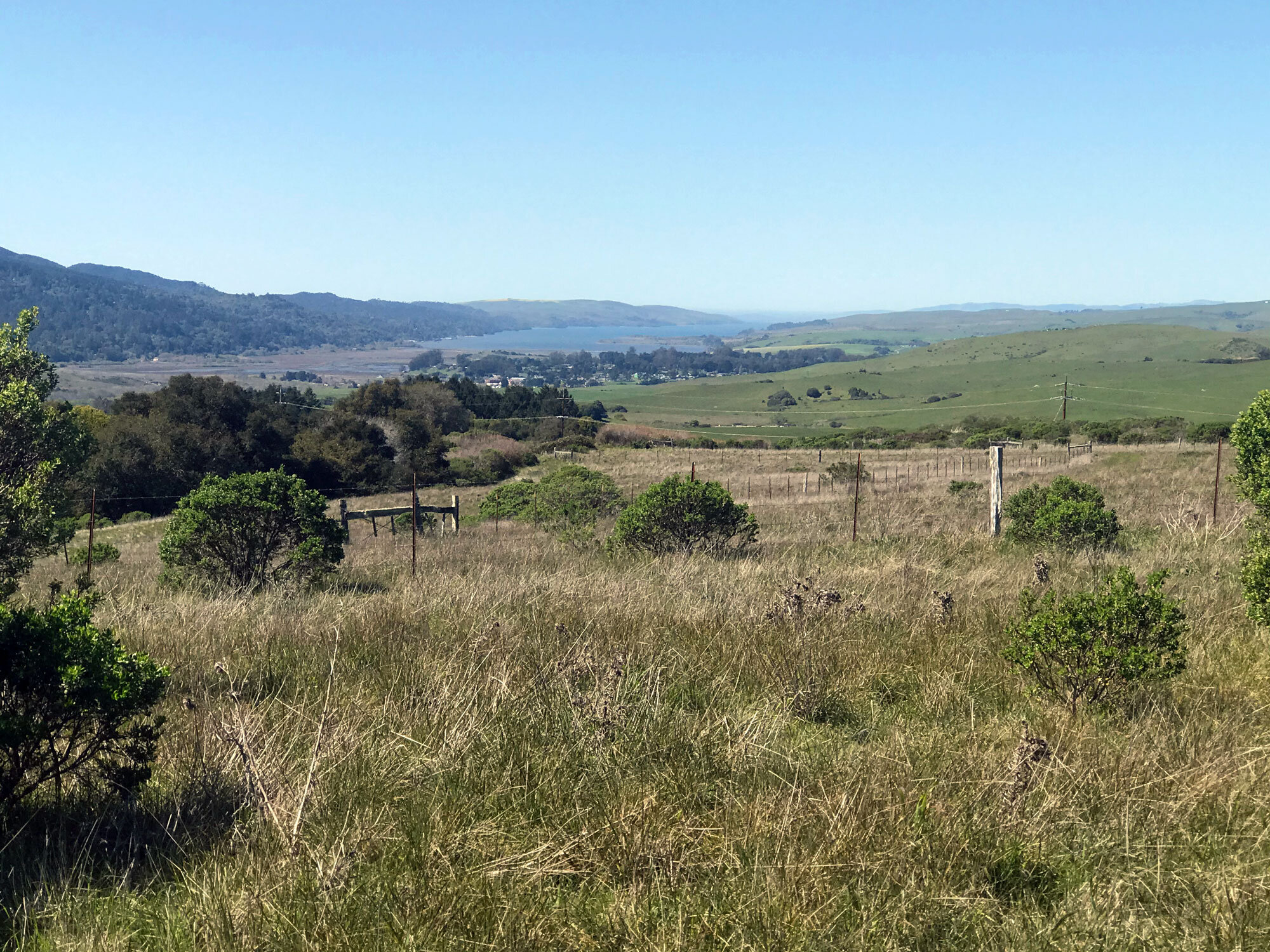
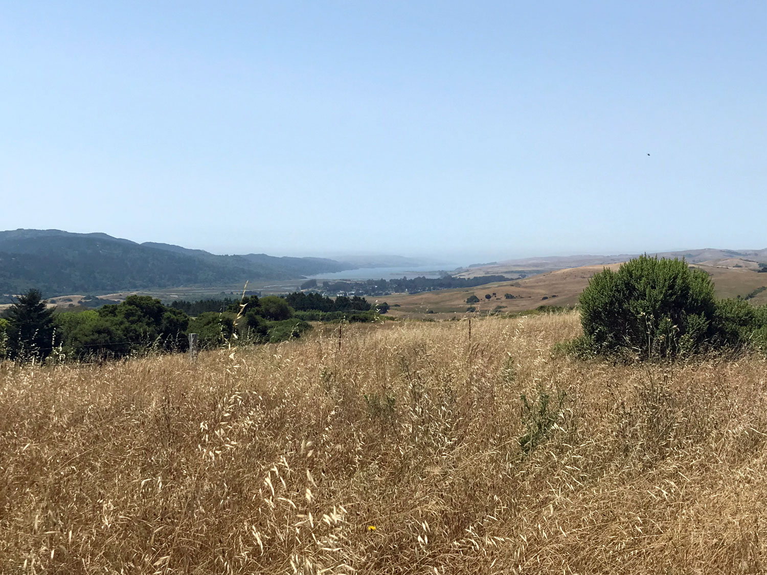
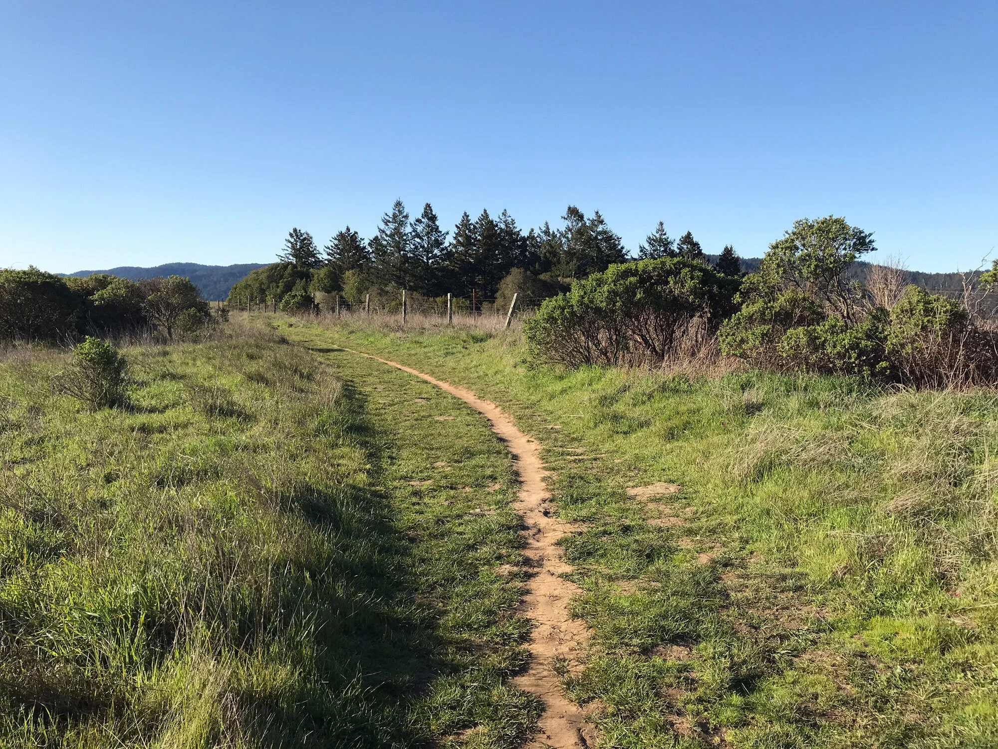
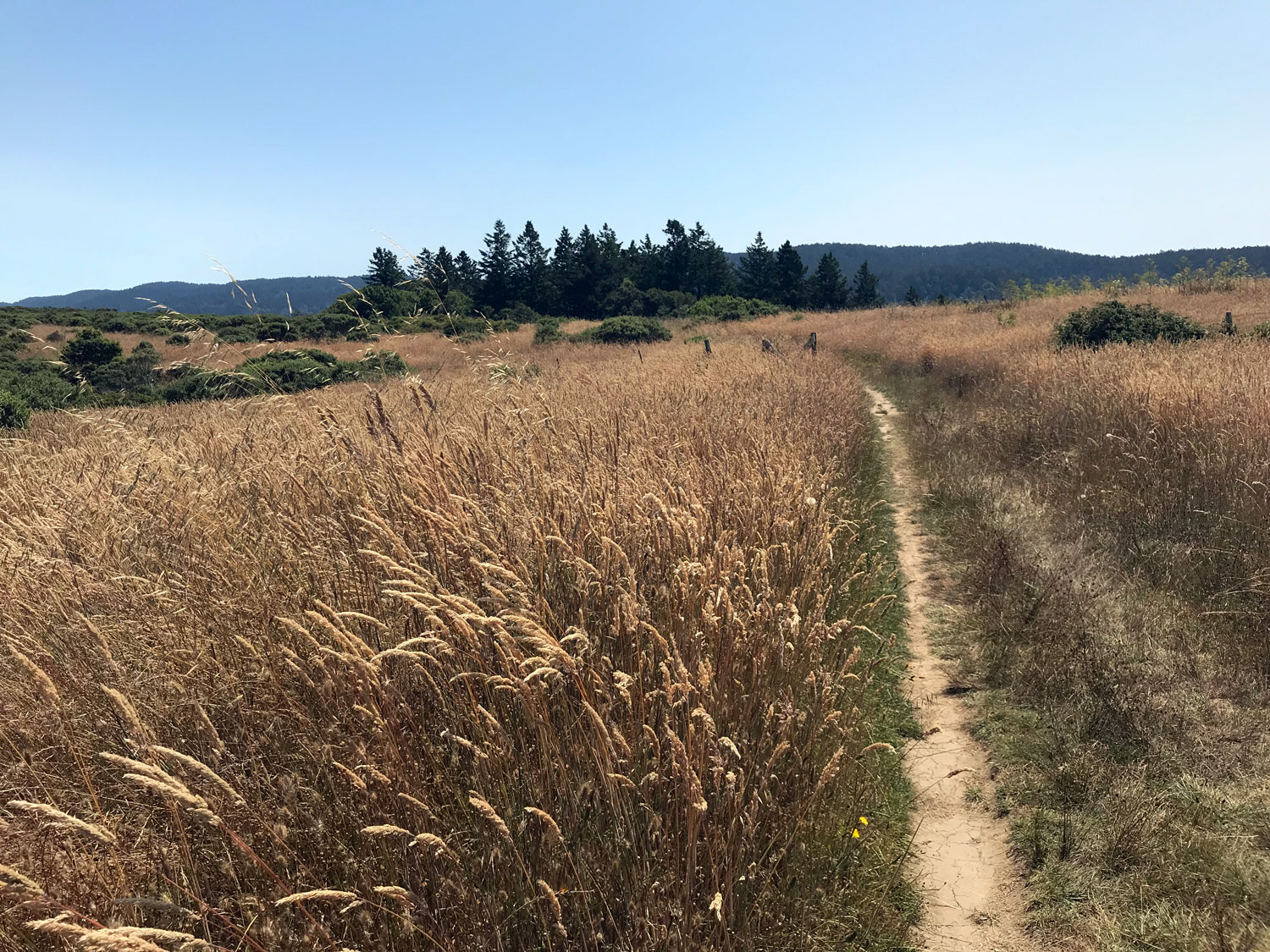
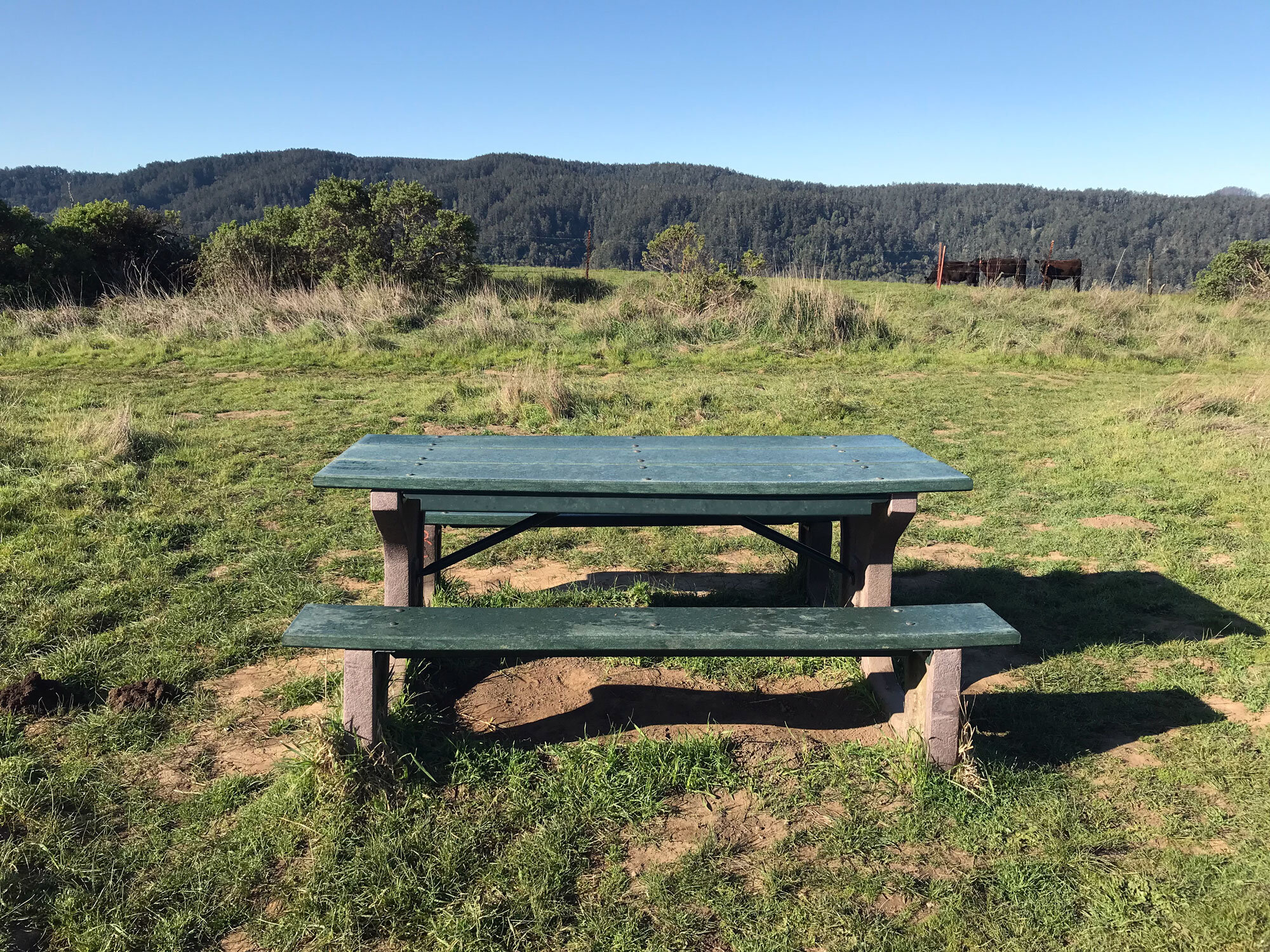
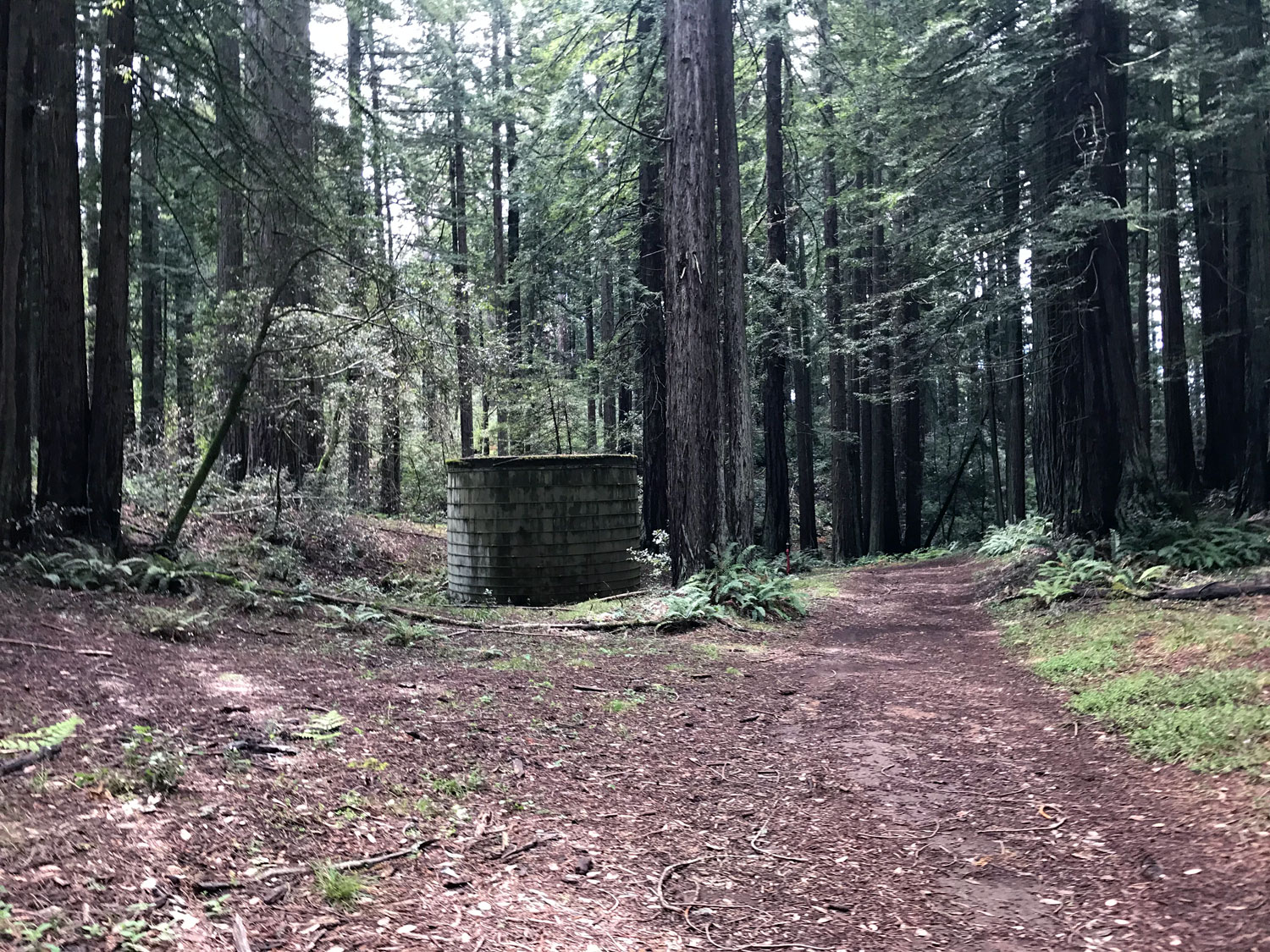
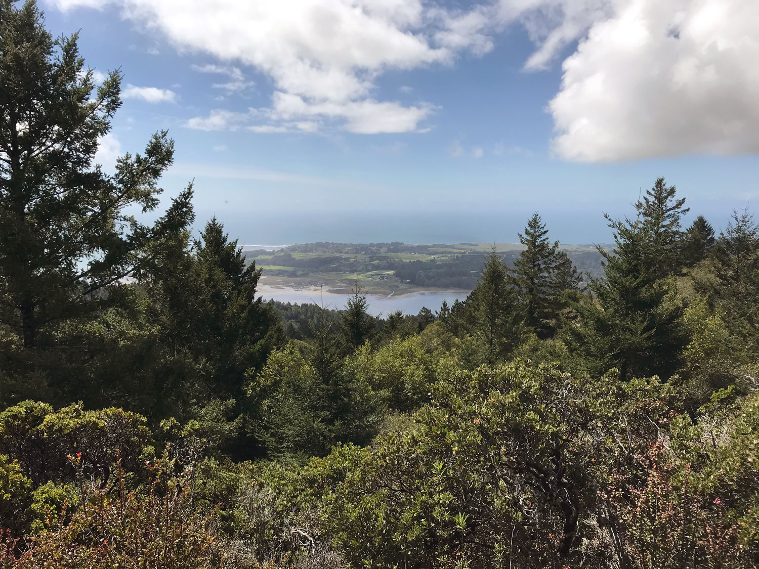
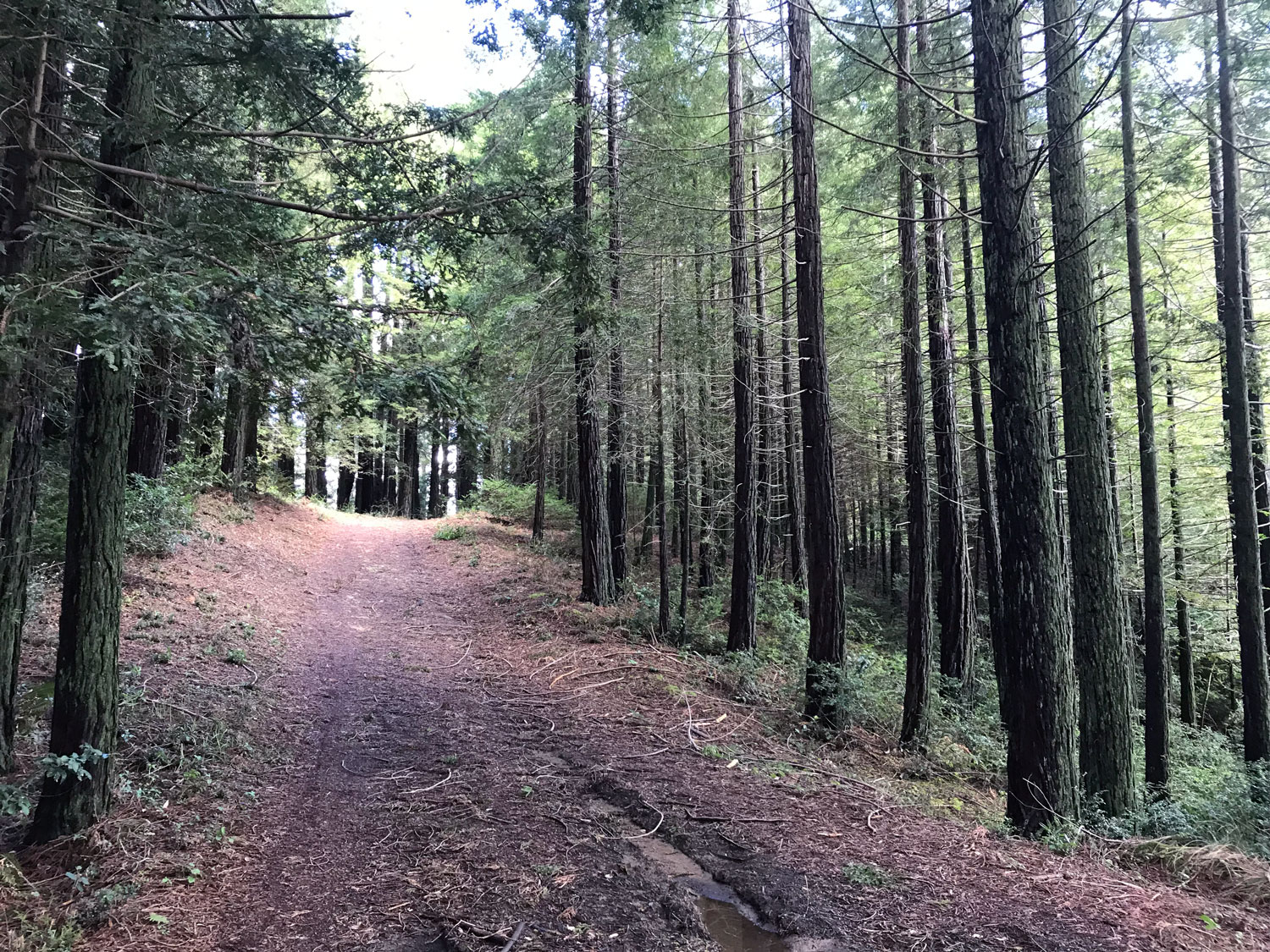
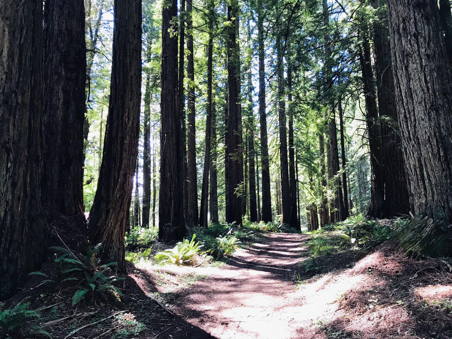
The north and south ends of the Bolinas Ridge Trail have very different landscapes. The south end, closer to Bolinas offers more shade. It’s a mix of Douglas fir and redwood forests interspersed with exposed arid, rocky chaparral terrain. The north end, in Olema is grassy pasture land, fully exposed to the sun, with panoramic views all the way to Tomales Bay. The north end of the trail is a gradual upslope nearly the whole 6.2 miles, and the south end is mostly a gradual downslope for the last 3.3 miles. The forested middle section from the Randall Trail to well past the McCurdy Trail is mostly flat with a few sloped areas.
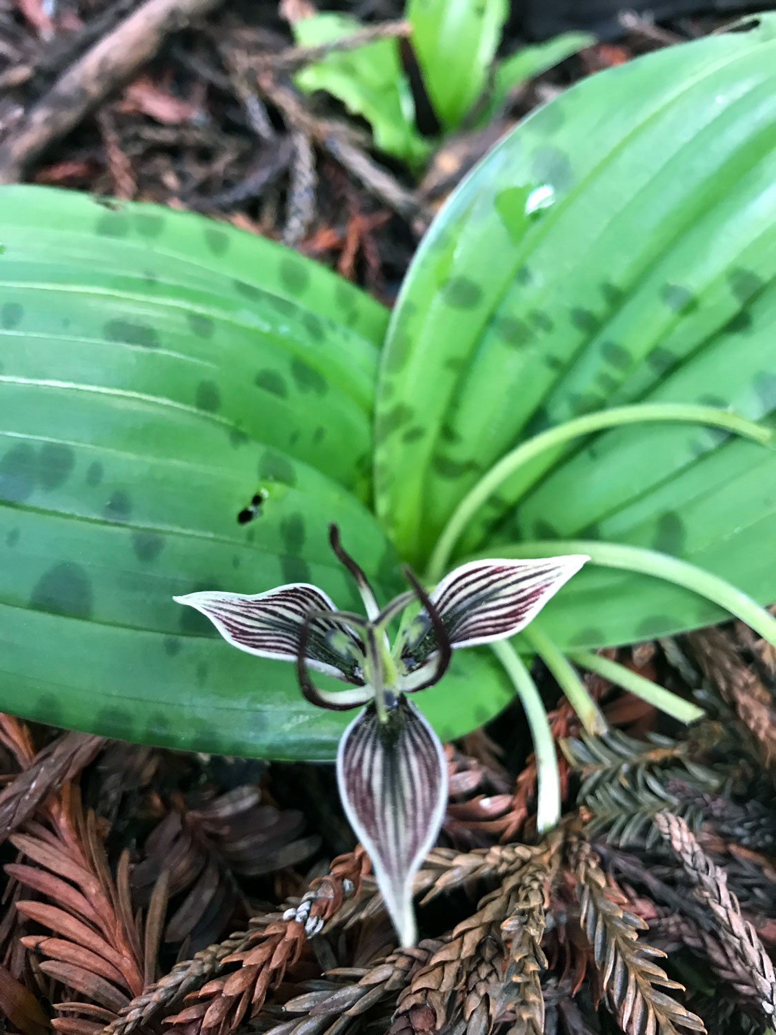
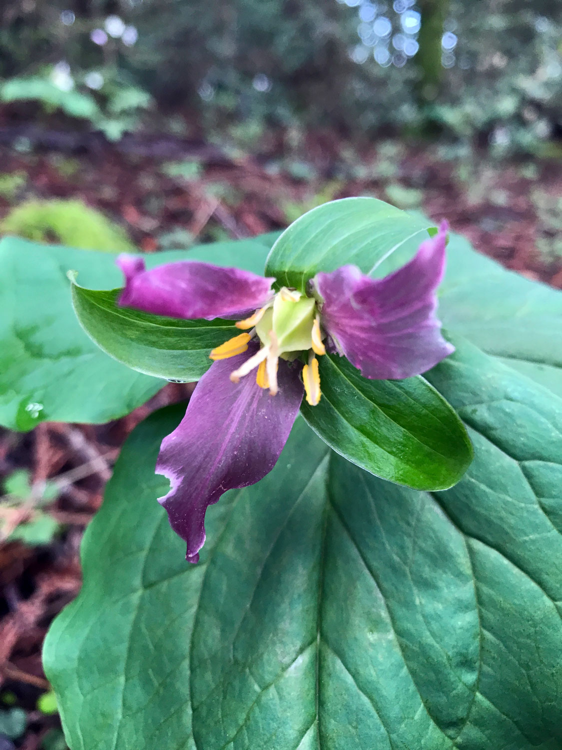
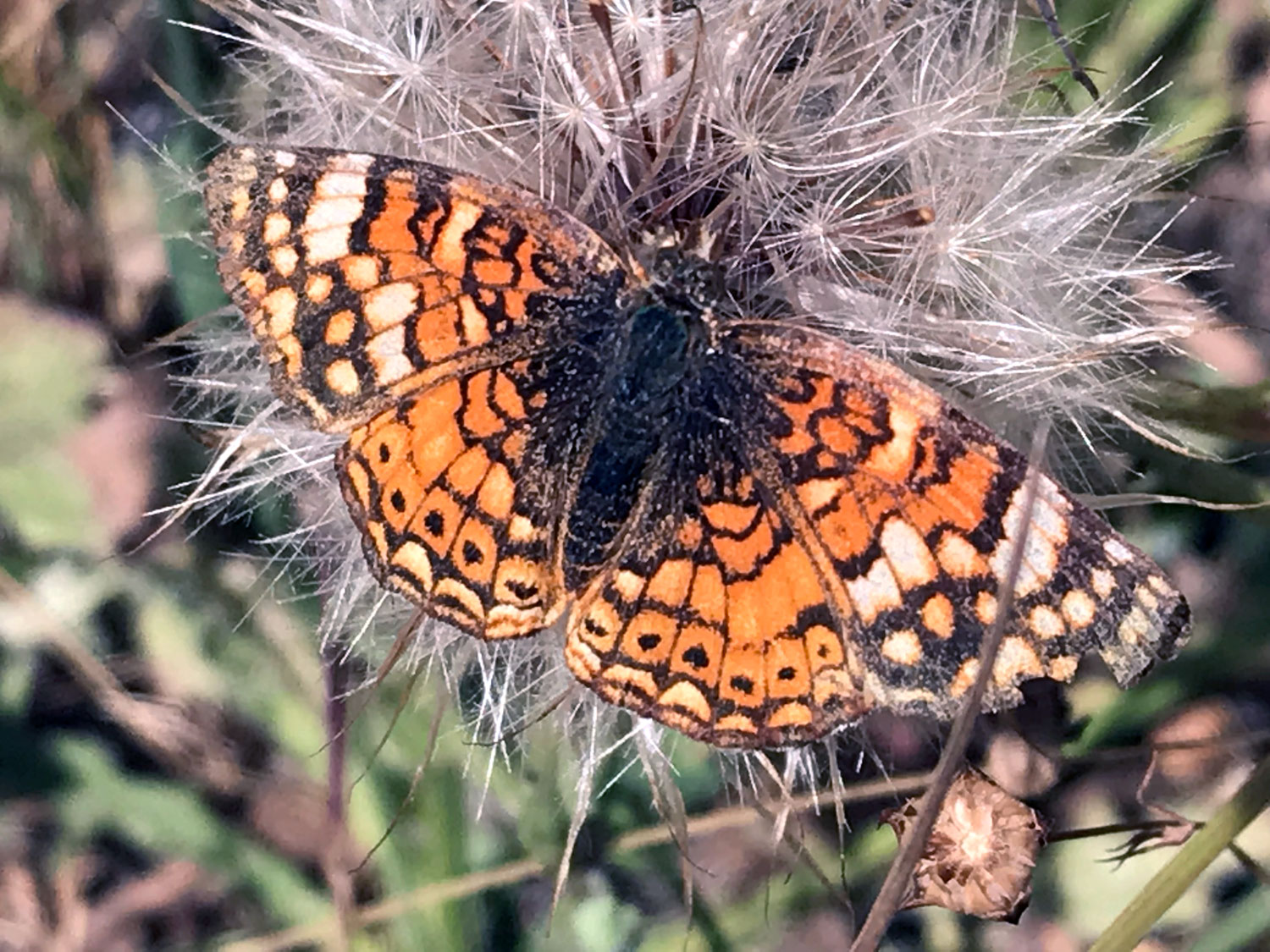
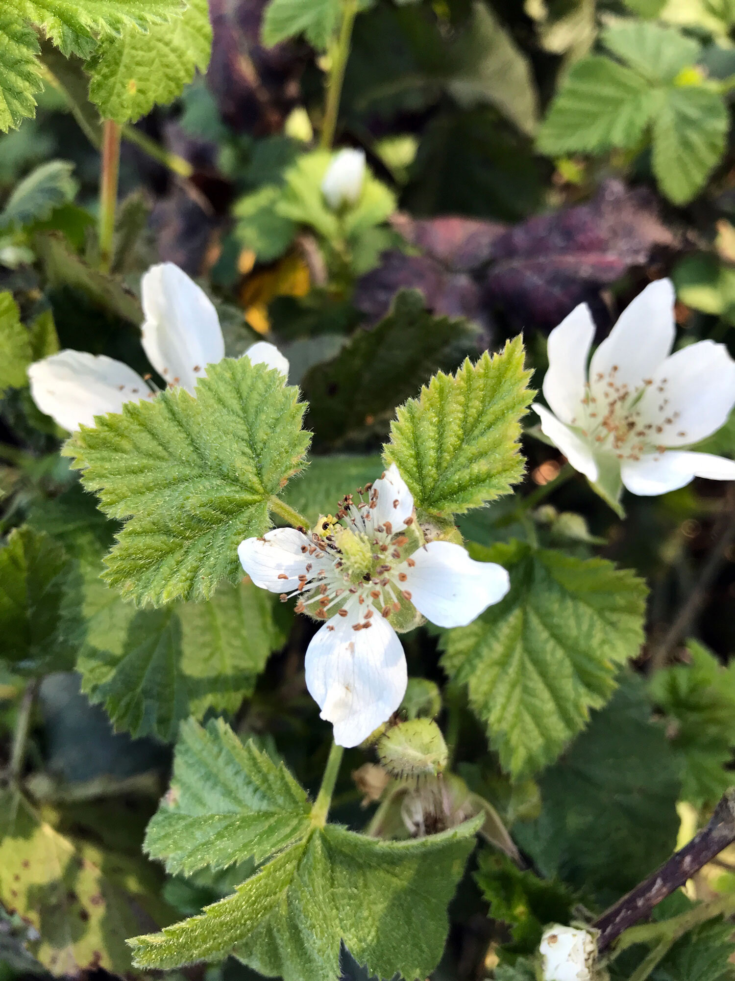
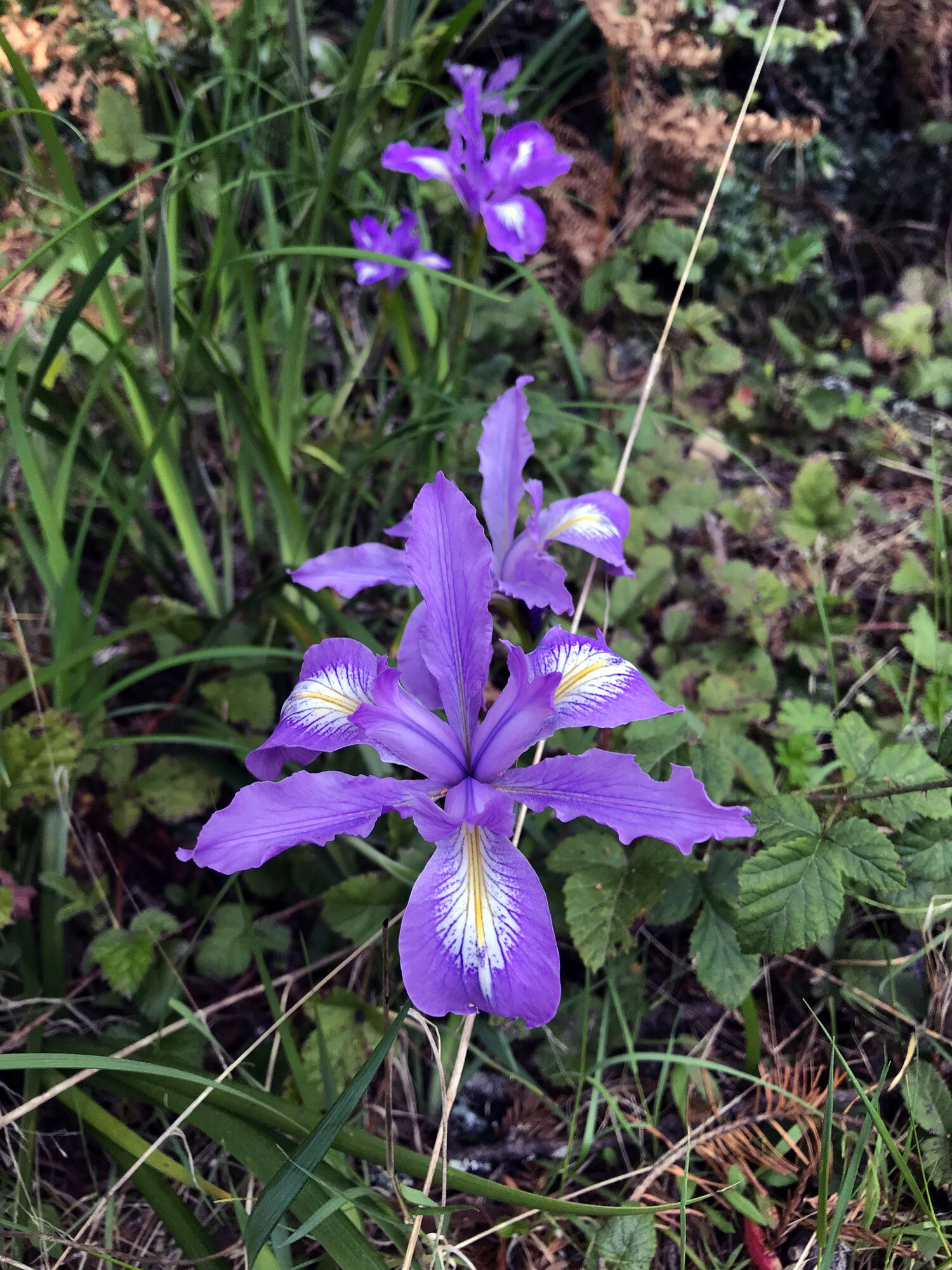
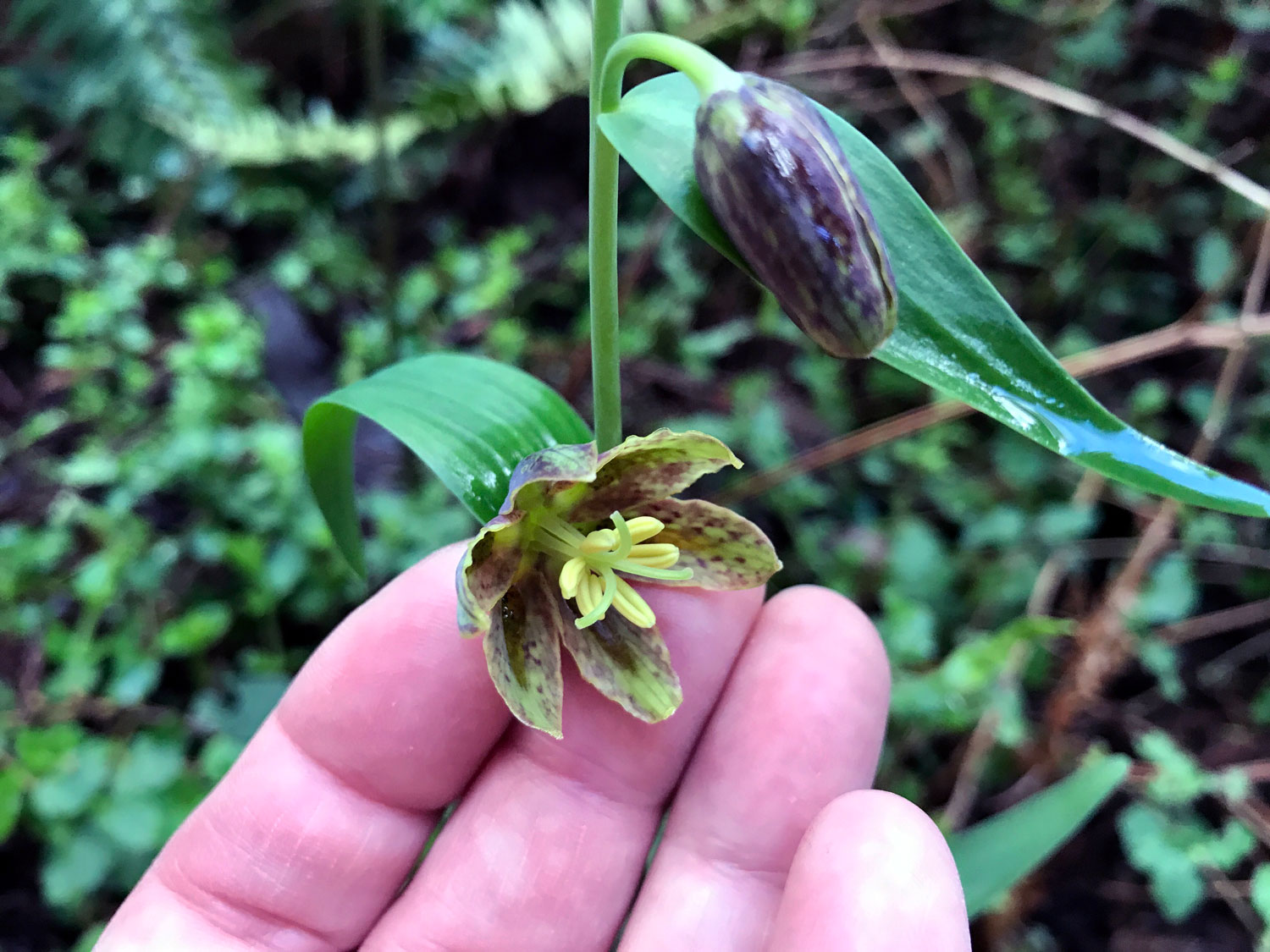
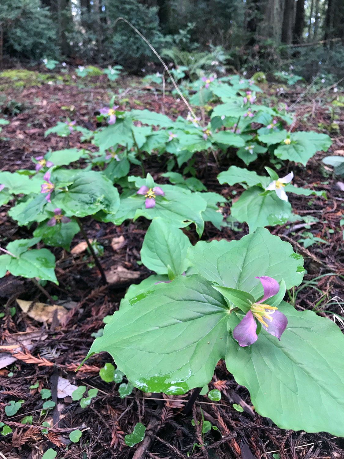
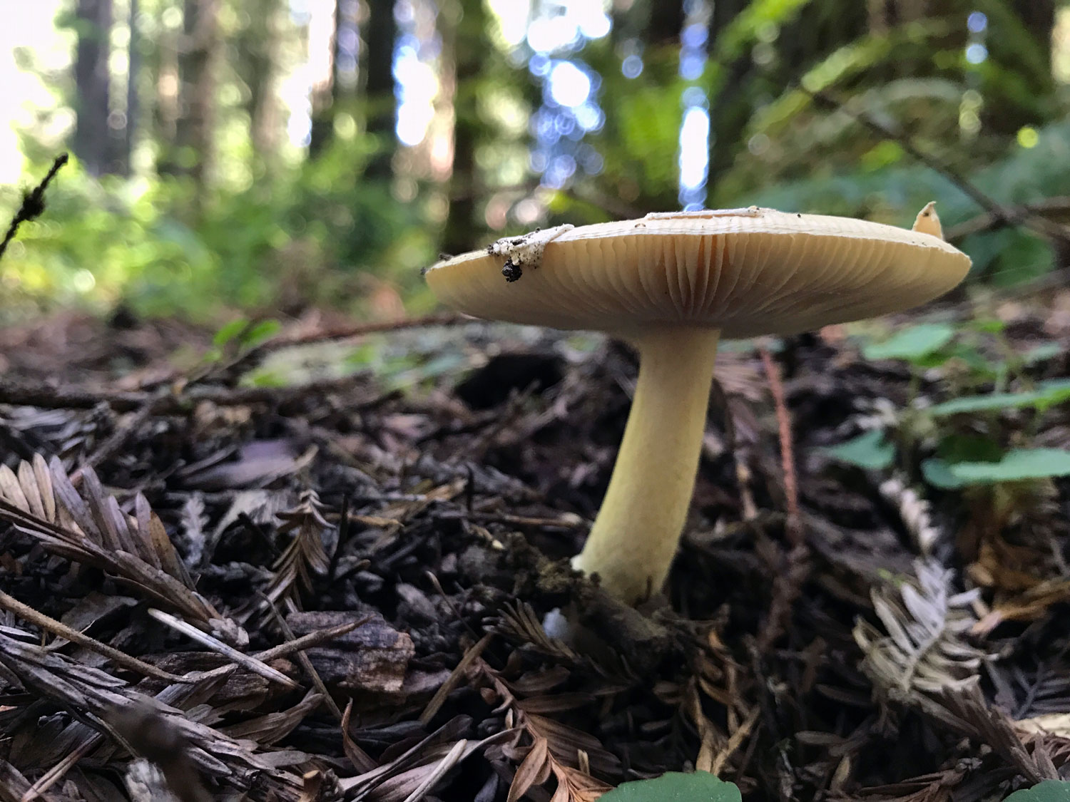
A great time to hike the trail is late winter-early spring when the grass in the pasture is green on the north end and the early spring wildflowers are blooming in the forest of the south end. California Fetid Adderstongue blooms earliest peaking in February, Checker Lily peaks in March-April, and Pacific Trillium in April.


Bolinas Ridge North (Olema to Randall Trail) in spring & summer
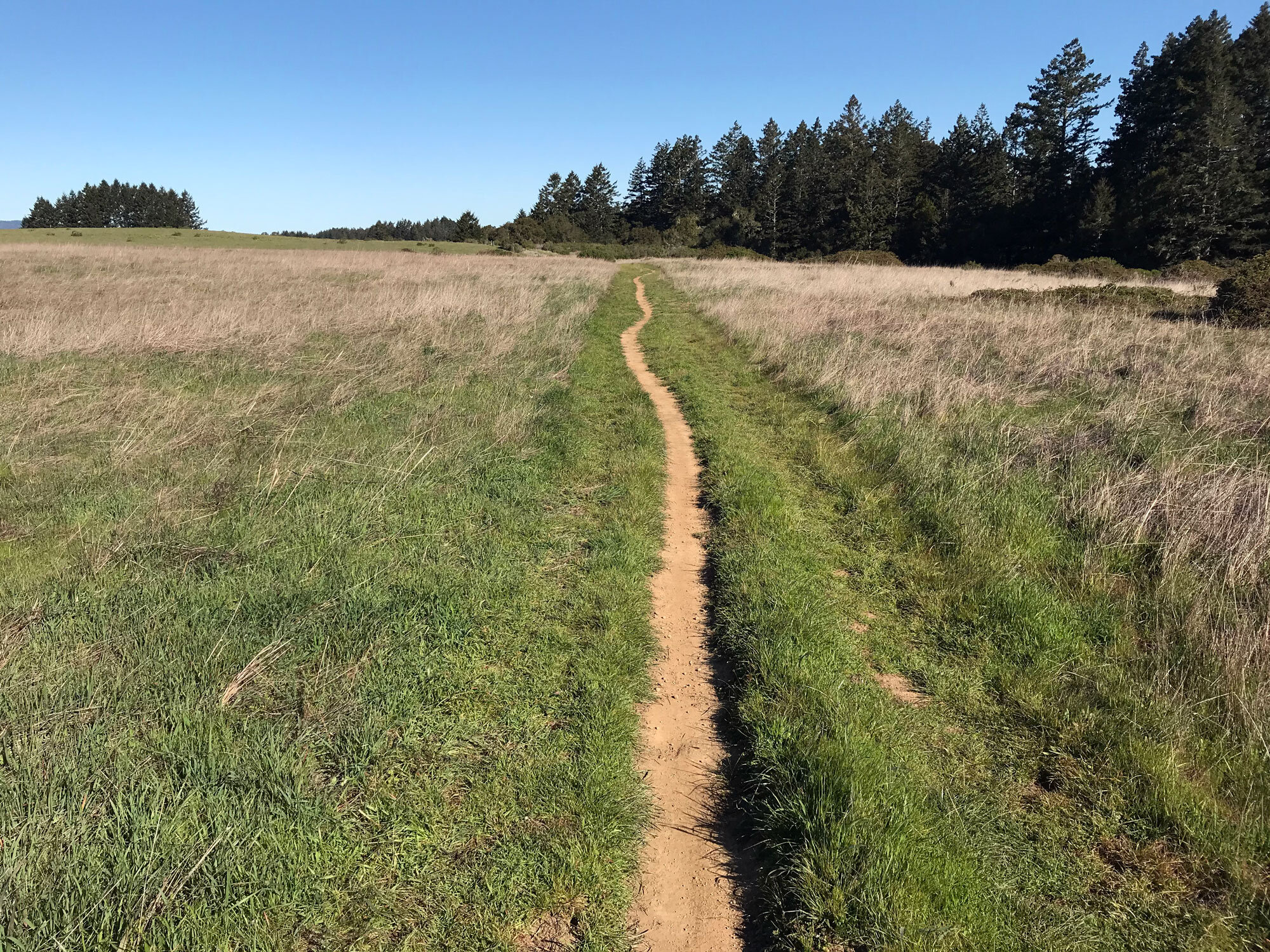
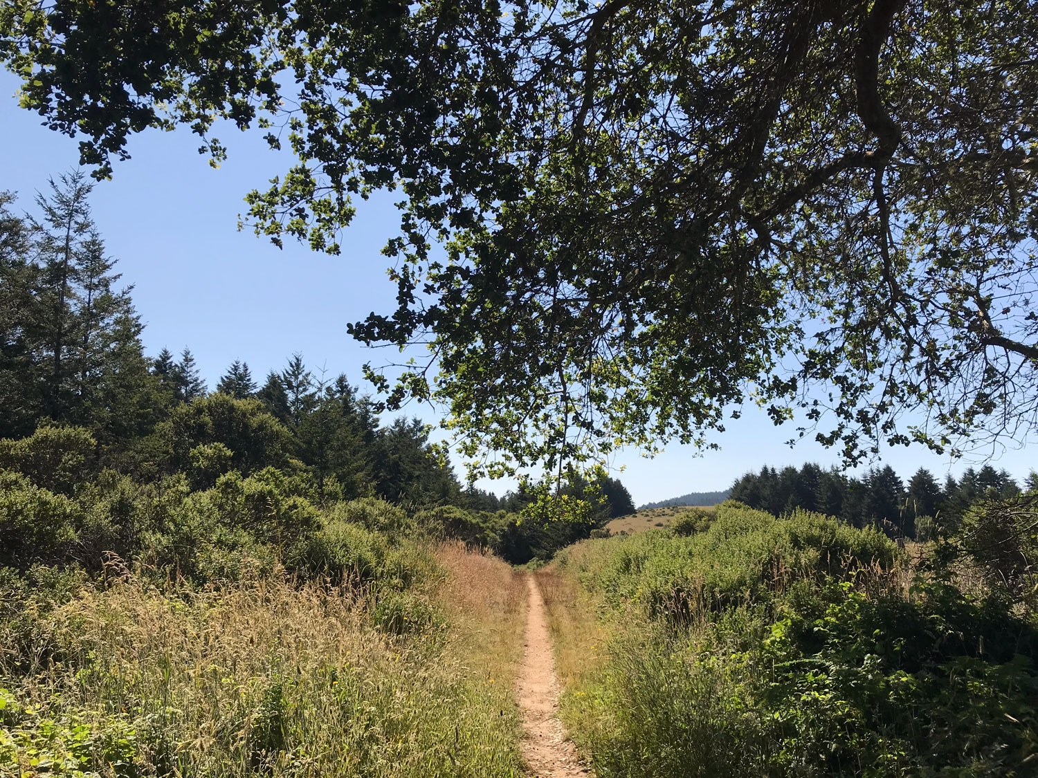
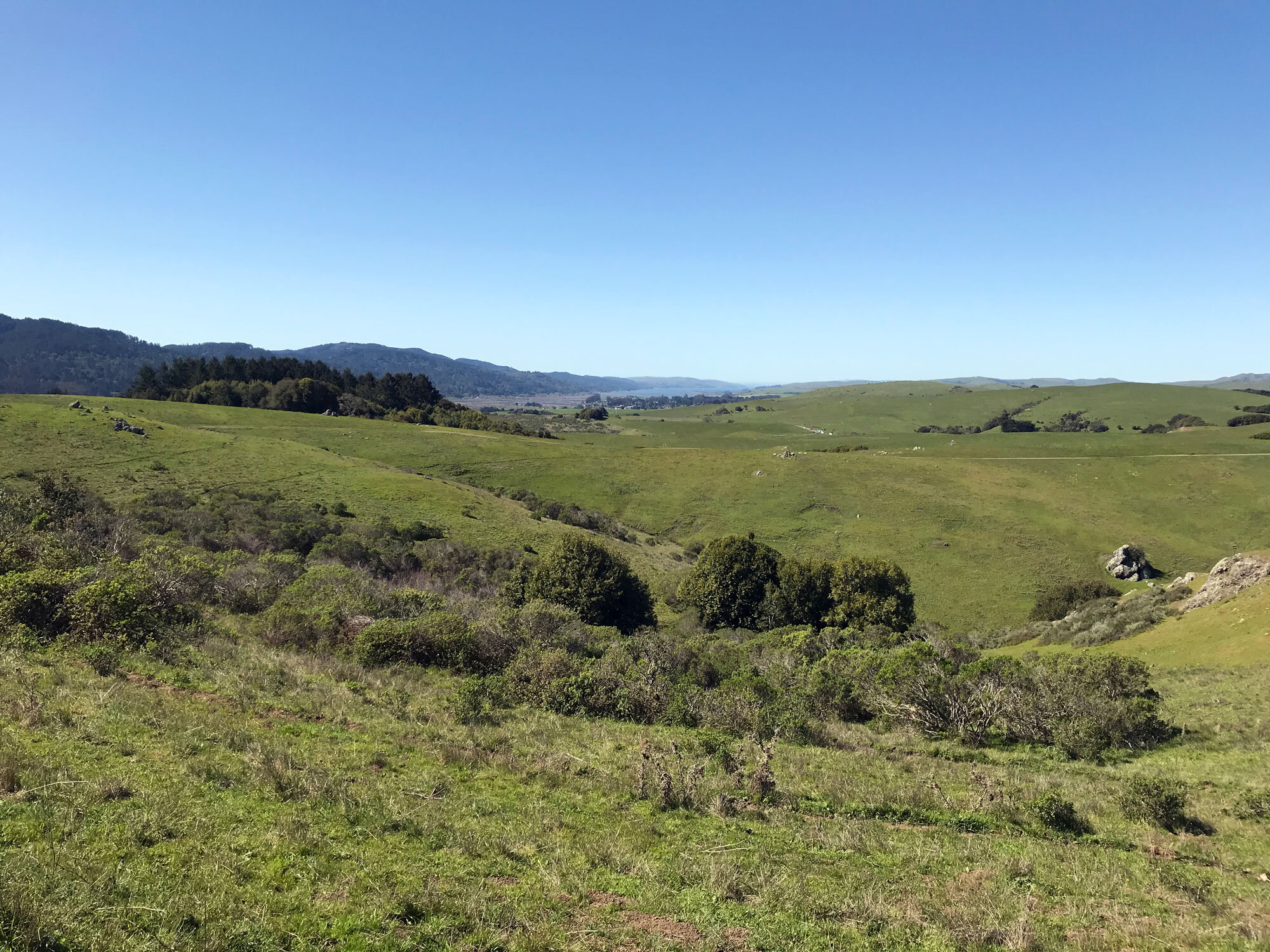
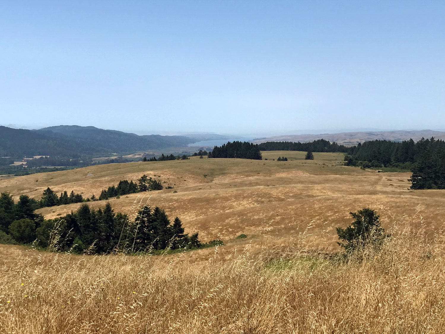
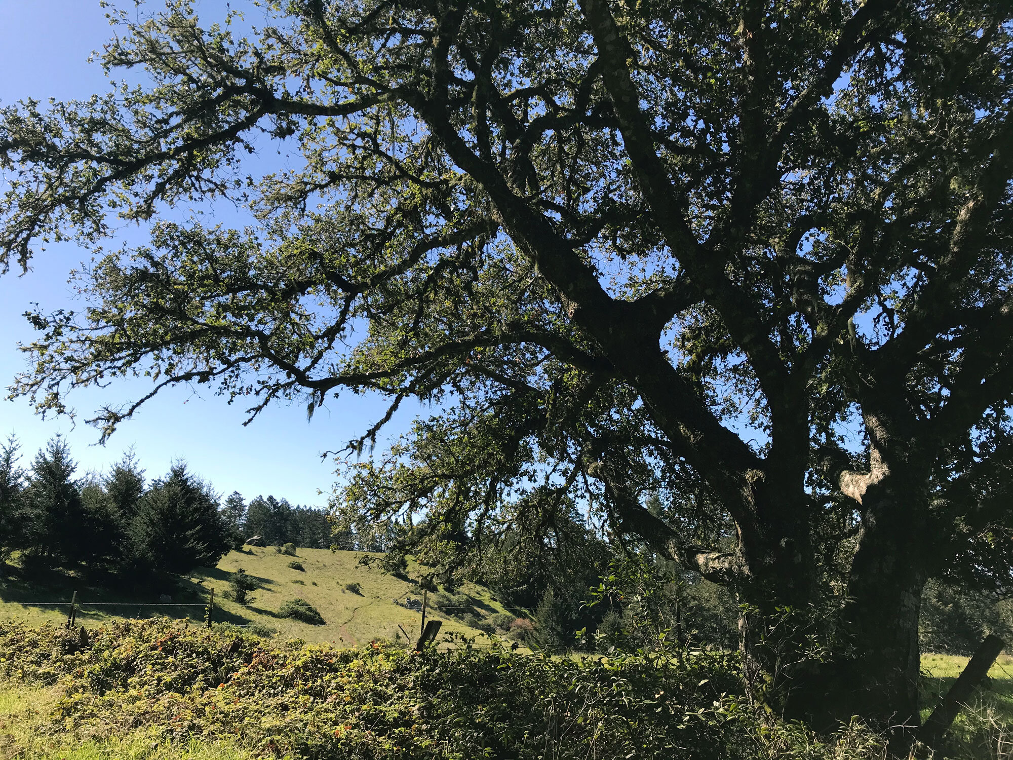
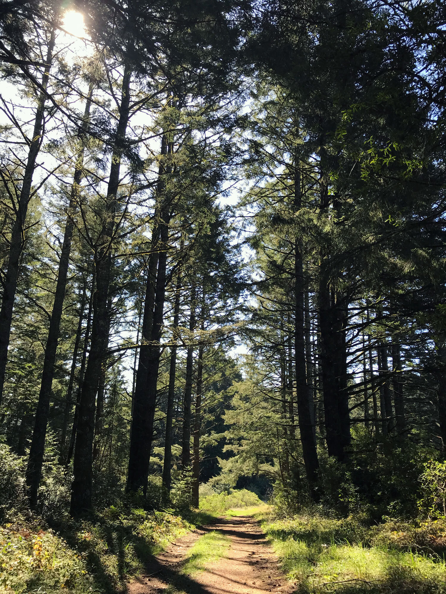
Bolinas Ridge South (Randall Trail to Bolinas)


Shafter Grade Trail to Bolinas Ridge Trail
The Shafter Grade Trail is a 1.7 mile connector trail between the Bolinas Ridge Trail and the Leo T Cronin Fish Viewing Area in Lagunitas. Get a friend to drop you off at the Leo T Cronin Fish Viewing Area in Lagunitas and to pick you up at the Bolinas Ridge Trailhead in Olema. Bikes are allowed so that’s another option. Starting your hike at the Lagunitas end, you’ll hike steeply uphill for 1.7 miles and then have a mostly downhill hike with beautiful views to Tomales Bay for the last 5.2 miles to the Bolinas Ridge Trailhead in Olema.
Starting at the Leo T Cronin Fish Viewing Area
Walk from the parking lot along the creek about 10 minutes to the Shafter Grade Trail on the right.
Hike 1.7 miles on the Shafter Grade Trail through the forest on a steep ascent to the Bolinas Ridge Trail.
Turn right on the Bolinas Ridge Trail toward the Jewell Trail and Sir Francis Drake Blvd (Olema).
Hike 5.2 miles to the Bolinas Ridge Trailhead. It’s mostly downhill with spectacular views of Tomales Bay. The trail has very few shade trees so bring a hat.
Total: 6.9 miles (about 2.5-3.5 hours depending on how fast you walk.)
Volunteer Opportunity: Visitor Services

Work alongside park rangers and volunteers to staff the visitor center desk at the Bear Valley Visitor Center and/or Lighthouse Visitor Center. Assist visitors by providing information about the park and the surrounding area.
Provides an opportunity to learn about cultural, historical, and natural resources of national significance and to develop a deeper connection with Point Reyes National Seashore.