Last trail done!
On July 5, 2019, I hiked the Bolinas Ridge Trail from the north trailhead in Olema to the Randall trail and back, a 12.4 mile out and back walk that completed my quest to hike all the trails in Point Reyes. It was a warm day and the sloped trail is fully exposed to the sun which made it an arduous and sweaty hike. I had to earn that last hike!

Bolinas Ridge Trail looking north toward Point Reyes Station and Tomales Bay
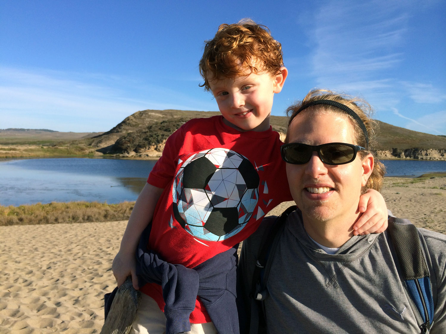
I don’t recall exactly when I decided to hike all the trails in Point Reyes, but it was after the summer of 2014 when my husband and I bought land in Point Reyes and we started visiting often. The first trails I hiked in fall and winter 2014 were with my husband, Gabe, and five-year old son, Aiden, and the farthest we hiked was two or three miles. The Earthquake Trail was first, followed by a bit of the Tomales Point Trail, about half of the Muddy Hollow Trail near Limantour beach, Abbotts Lagoon, and Kule Loklo. I discovered early on that the key to a happy hike was to bring a friend along for Aiden.
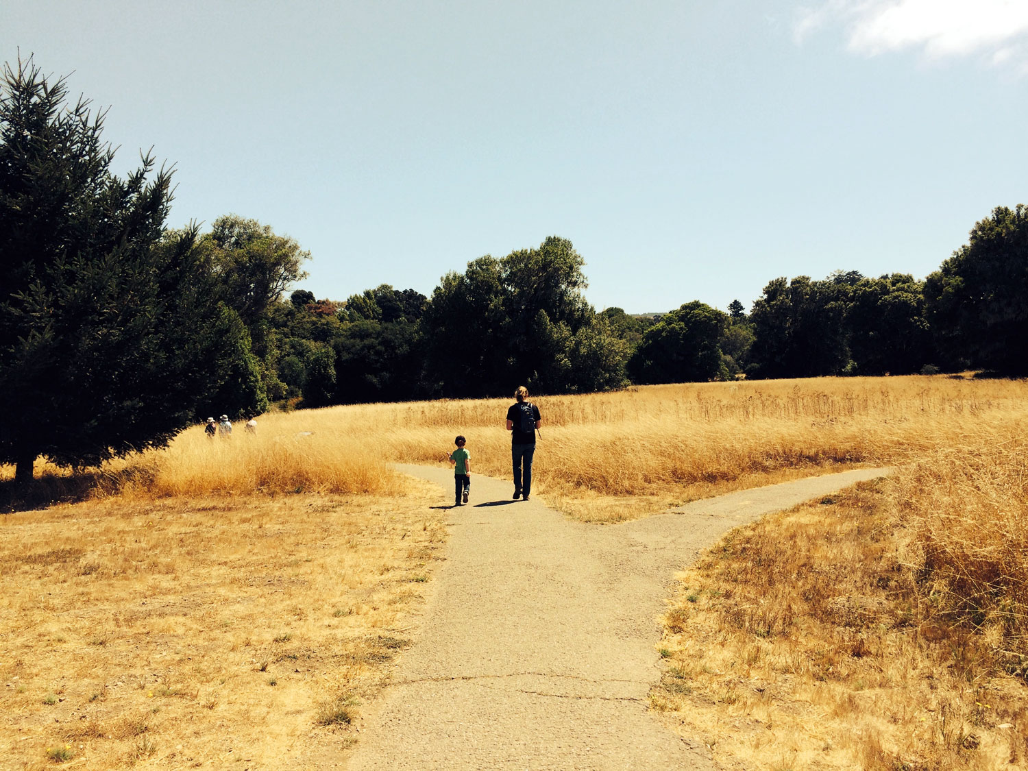
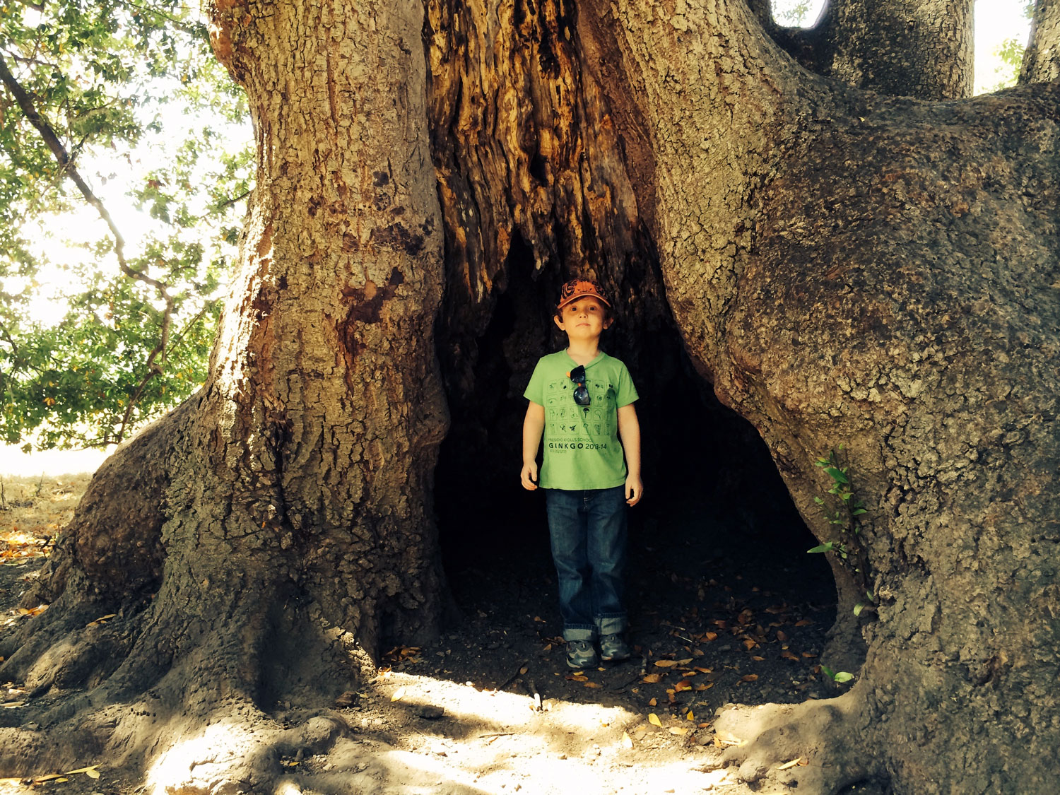
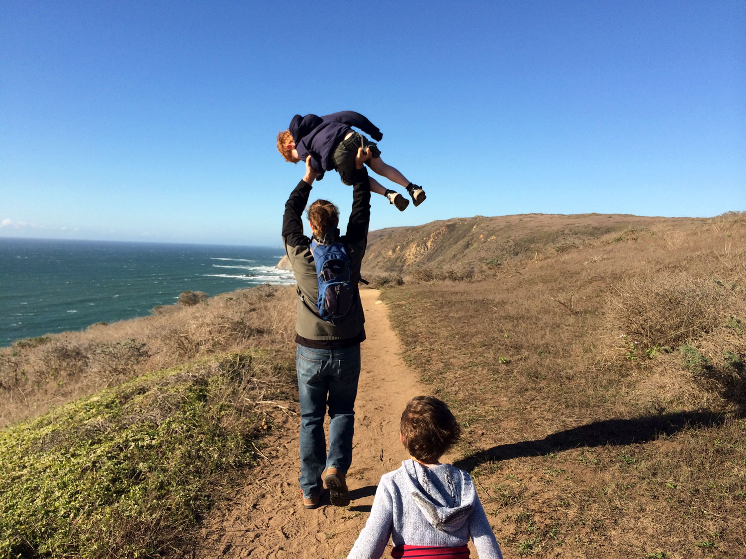
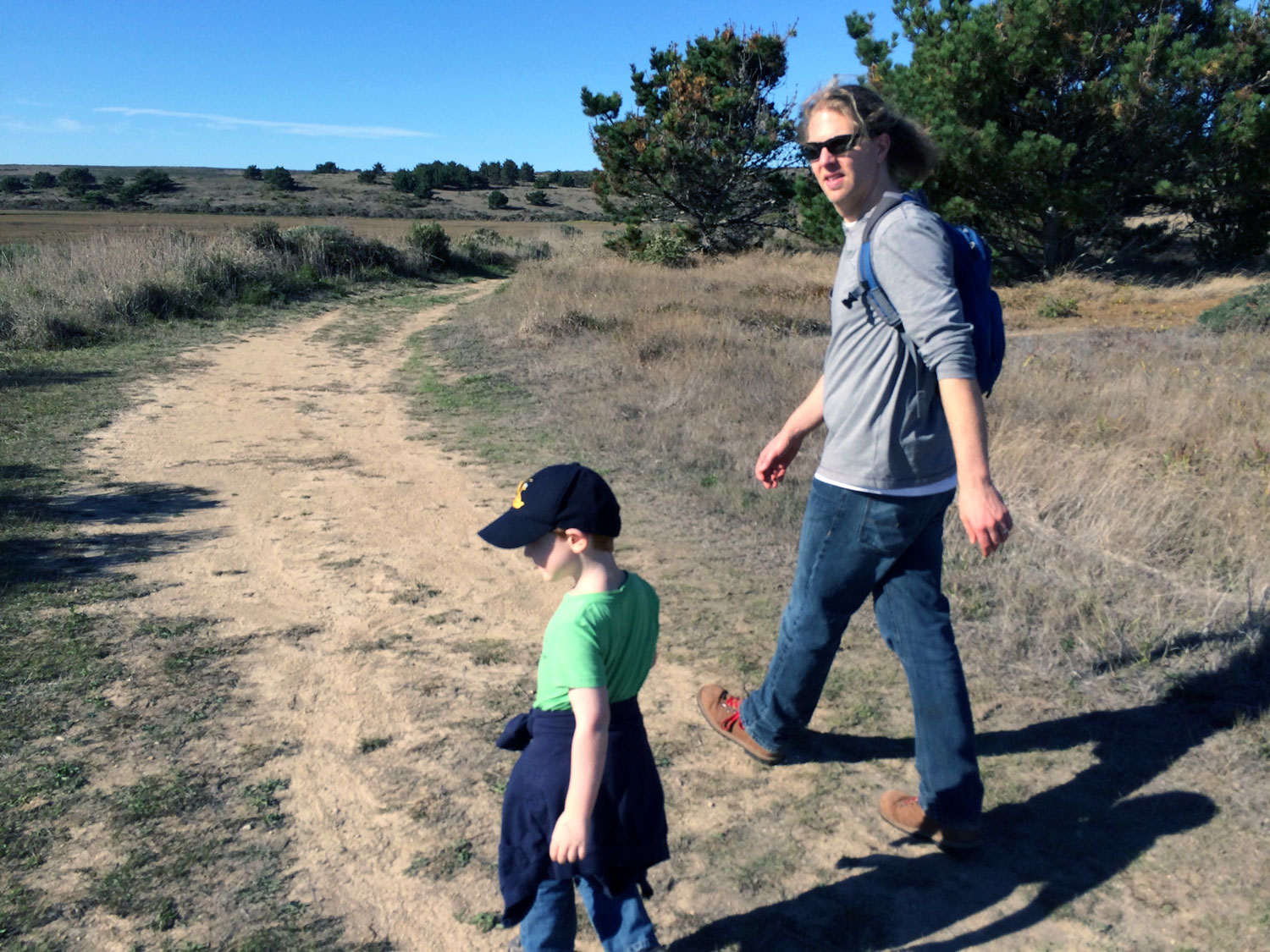
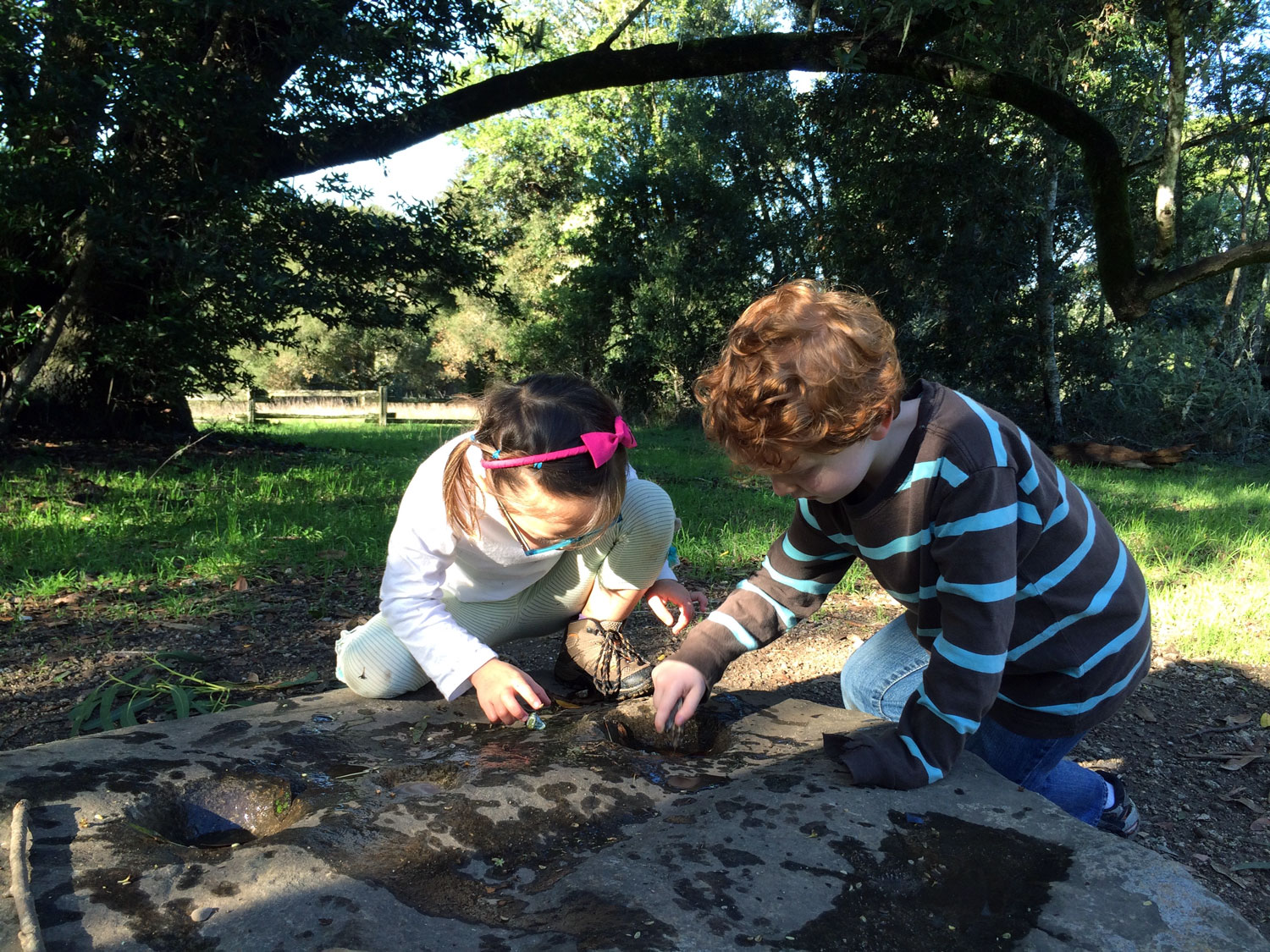
Fast forward five years and I’ve mostly hiked the trails on my own. Two reasons: it’s more relaxing hiking alone and I’m literally a drag to hike with. After being introduced to iNaturalist in 2016 at California Naturalist training, I now hike very slowly, stopping frequently to explore and make observations by photographing plants, insects, birds, scat and any other life that catches my eye. This has slowed me down to a snail pace of 1.5 to 2 miles per hour. Paying more attention to the world around me has made me prefer hiking solo. When I hike with my husband, he is usually far out ahead and we use walkie talkies to communicate. My son Aiden, who is now 10 years old, moves between observing things with me and catching up to dad on the trail. The two of us still have fun exploring the short kid-friendly trails together and he started his own Kids in the Mists section of this website with kid-approved trails and activities.
I wonder how many miles I’ve hiked to cover all 150 miles of trails? Hundreds is the short answer but I really have no idea. I hiked 11 miles round trip just to catch a 1 mile segment on the Coast Trail that I missed. Time was often my enemy. I was usually on a schedule to pick up my son which meant I was limited in how far I could hike in a day. In summer, I would take a one week vacation to hike and drop off my son at day camp, drive to Point Reyes, hike, then hurry back to pick him up. Many trails require a substantial hike to get to the starting point, such as the Glen trails, Lake Ranch, Drakes Head, and Greenpicker/Stewart. Point Reyes is dominated by out and back hikes with only a few short loop hikes. So, I’ve hiked hundreds of miles over five years to finally achieve all 150 miles of trails.
Two years ago, I finally bought proper hiking boots and a lightweight pair of hiking pants. Before that, I hiked in an old pair of dress boots or tennis shoes. I still haven’t found a day pack that I like - everything seems too big! So, I continue to use my small faded red canvas backpack. Works just fine.
Reflecting on all the trails I’ve hiked, hands down my least favorite trail was Pablo Point trail. The start of the trail required bushwhacking through stinging nettles and poison oak. It’s too difficult to pick a favorite trail since there are so many wonderful trails in Point Reyes. How about my top 10 instead? Abbotts Lagoon, Woodward Valley, Sky, Laguna-Fire-Coast loop, Tomales Point, Estero (from Muddy Hollow to Glenbrook), Coast, Rift Zone, Tomales Bay Trail, McCurdy.
A couple of years into my hiking adventure, I learned that Point Reyes had sponsored a challenge to hike all the trails for its 50th anniversary in 2012. Clearly, I was too late for that challenge, but I was inspired by Jules Evens who started the original challenge to raise money for the Point Reyes National Seashore Association and wrote about it in Bay Nature: Jules Even’s Point Reyes Walkabout. I eagerly read his tantalizing nature-filled posts to learn more about the trails. And, I was often jealous of how much wildlife he saw on the trails, including a badger!
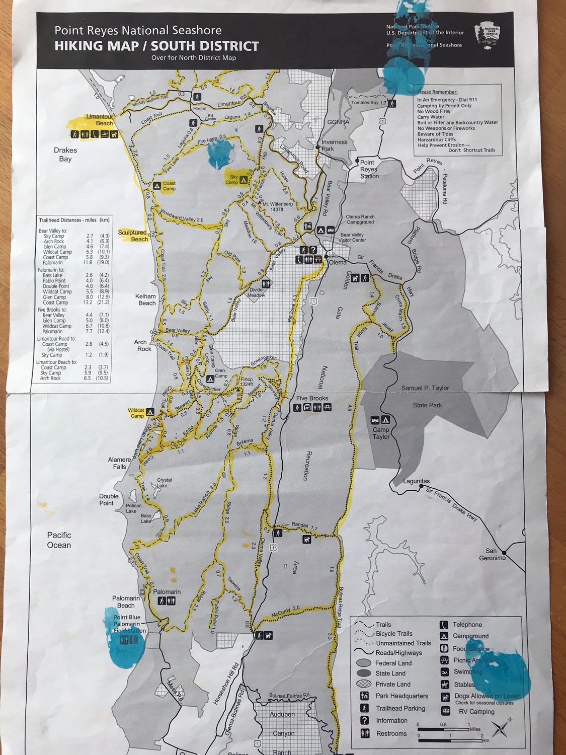
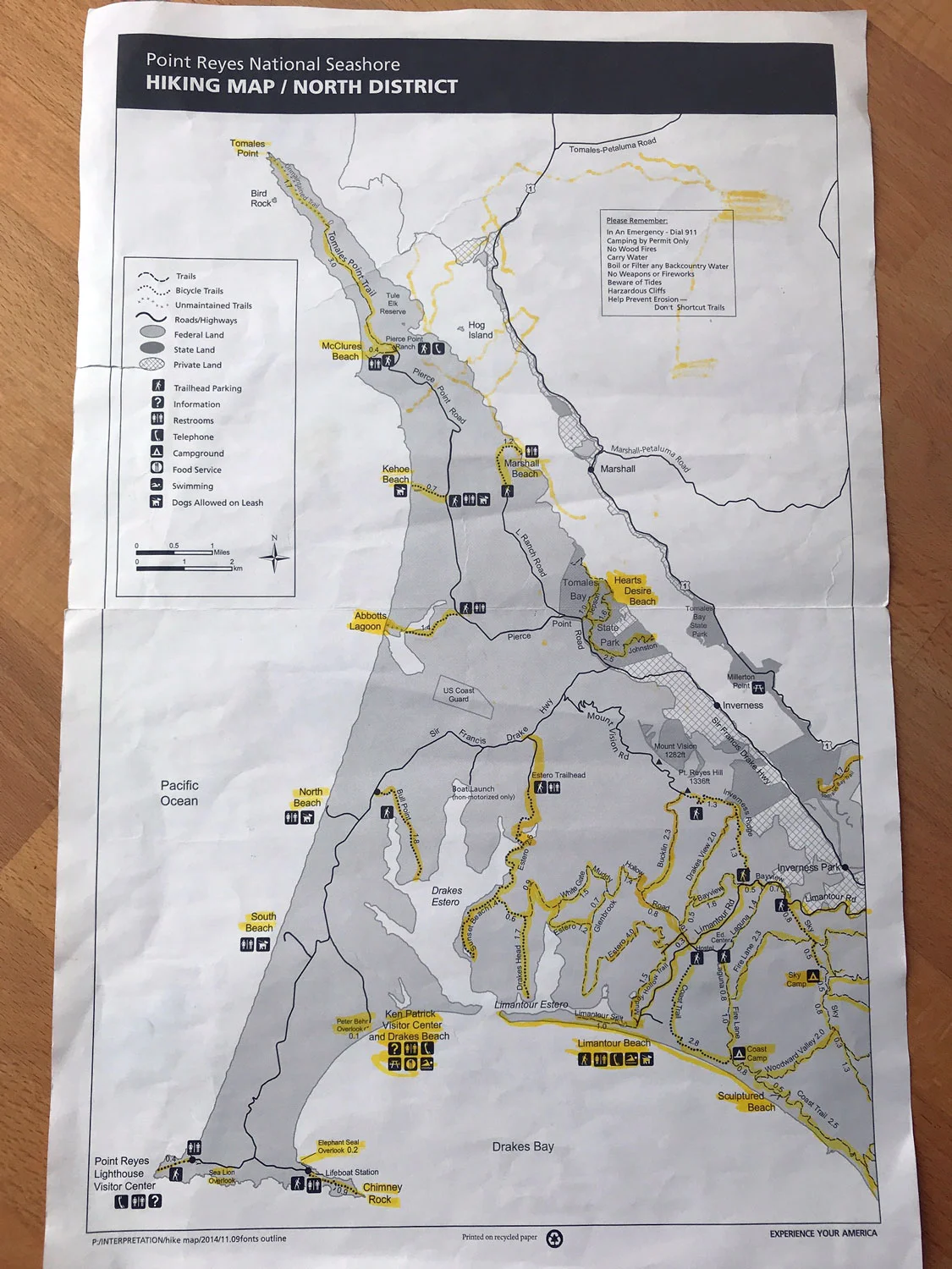
Because it’s taken me so long to hike ALL the trails, I have, in fact, hiked many of the trails multiple times. When I started this website in 2017, I needed more photos of some trails, so I hiked those trails again. At this point, I can safely say I’m very familiar with Point Reyes trails. When someone looks lost or they are searching for trails to hike, I enjoy helping out. I carry extra hiking maps from the park service to share with visitors on the trails. I have memorized all the trails that allow dogs on leash. It’s easy since there are only 4: Kehoe trail and beach, North Beach, South Beach, and Limantour Beach, plus all trails in the Golden Gate National Recreation Area: Bolinas Ridge Trail, Randall, McCurdy. In hindsight I should have recorded which trails have cell service. Surprisingly, many trails have cell service for at least part of the trail. Since I just hiked the north end of the Bolinas Ridge Trail, I can say it has cell service for much of the north segment (Olema to Randall Trail). Well, this might be a reason to hike the trails again! Then again, it might spoil my fun to keep checking whether I have cell service while I’m hiking.
Hike on!