
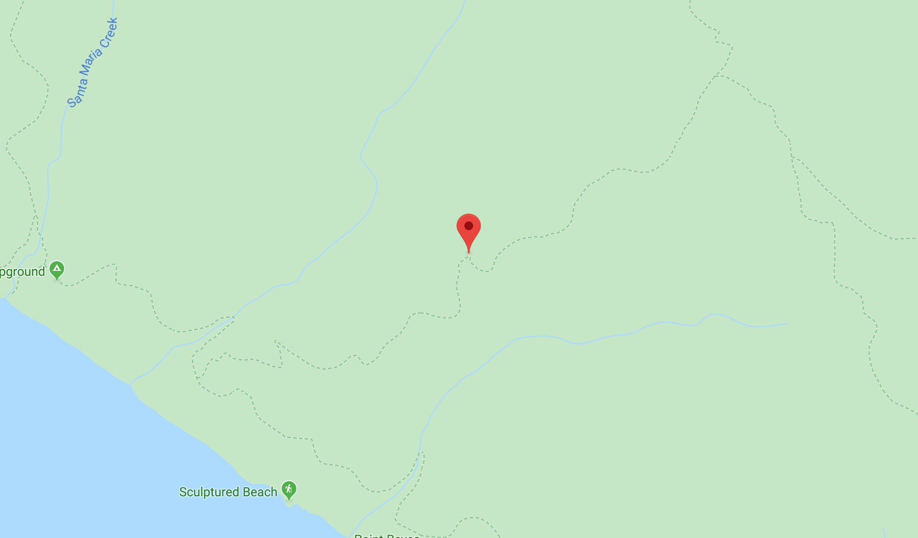
Trails A to Z
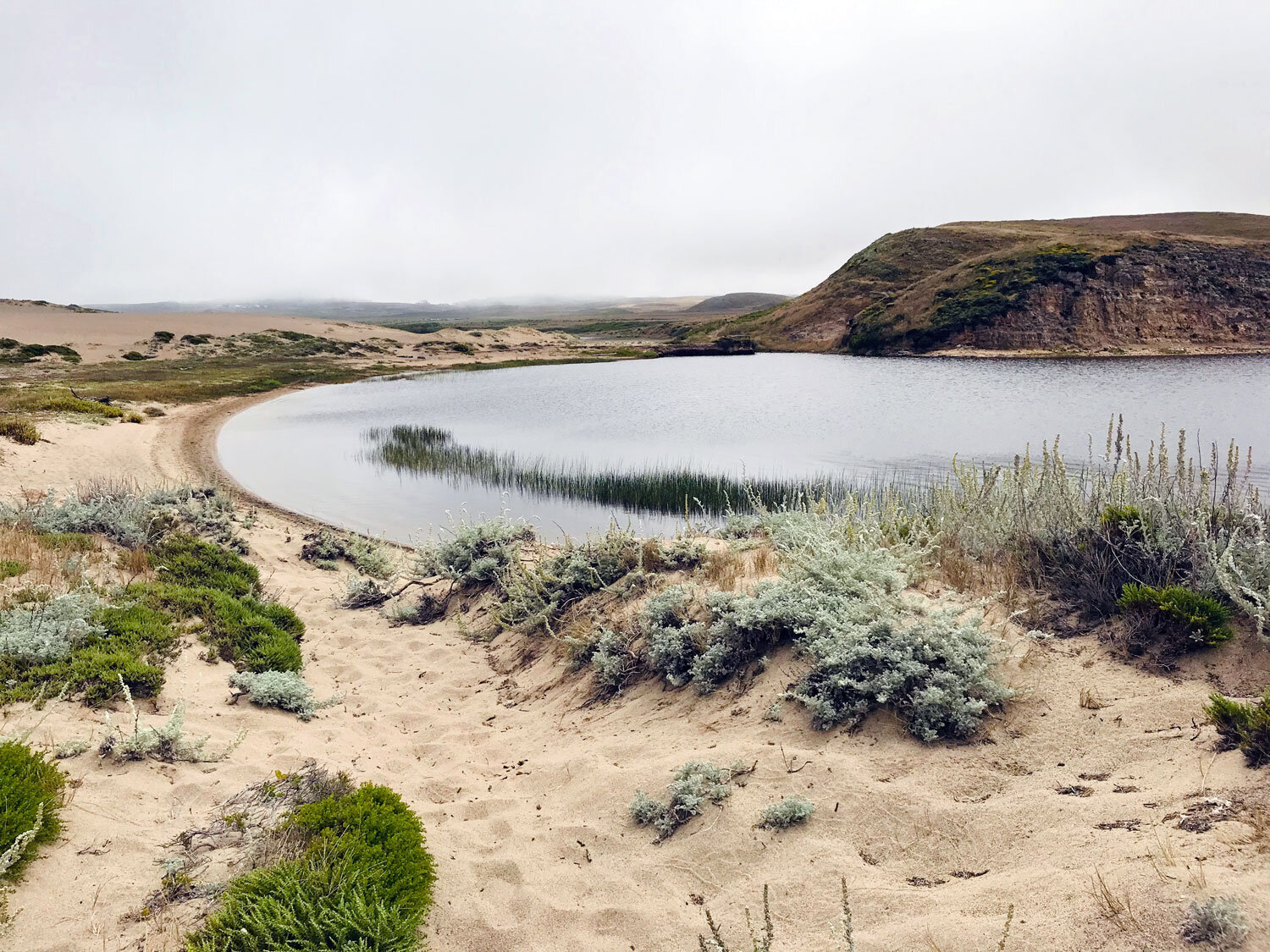
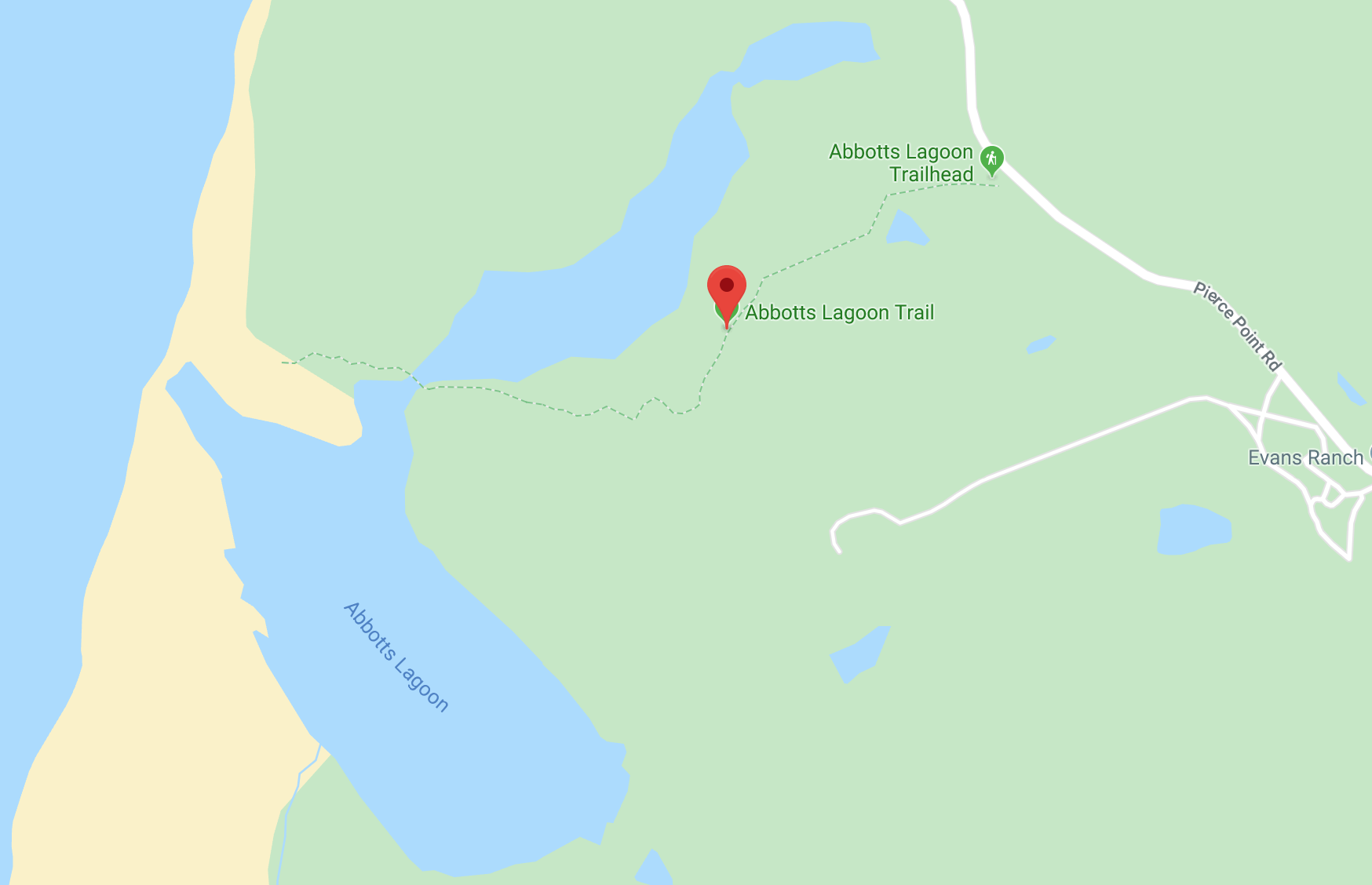
Abbotts Lagoon
One of the most popular trails at Point Reyes. The varied terrain makes for an abundance of birds and plants and even river otters. You'll encounter shorebirds at the beach, migratory birds at the lagoon, and friendly sparrows in the brambles and perched along the fence of the pasture. It's often cooler here than in Inverness or Point Reyes Station, so this is a great hike on a rare scorching day at the Seashore. Get details
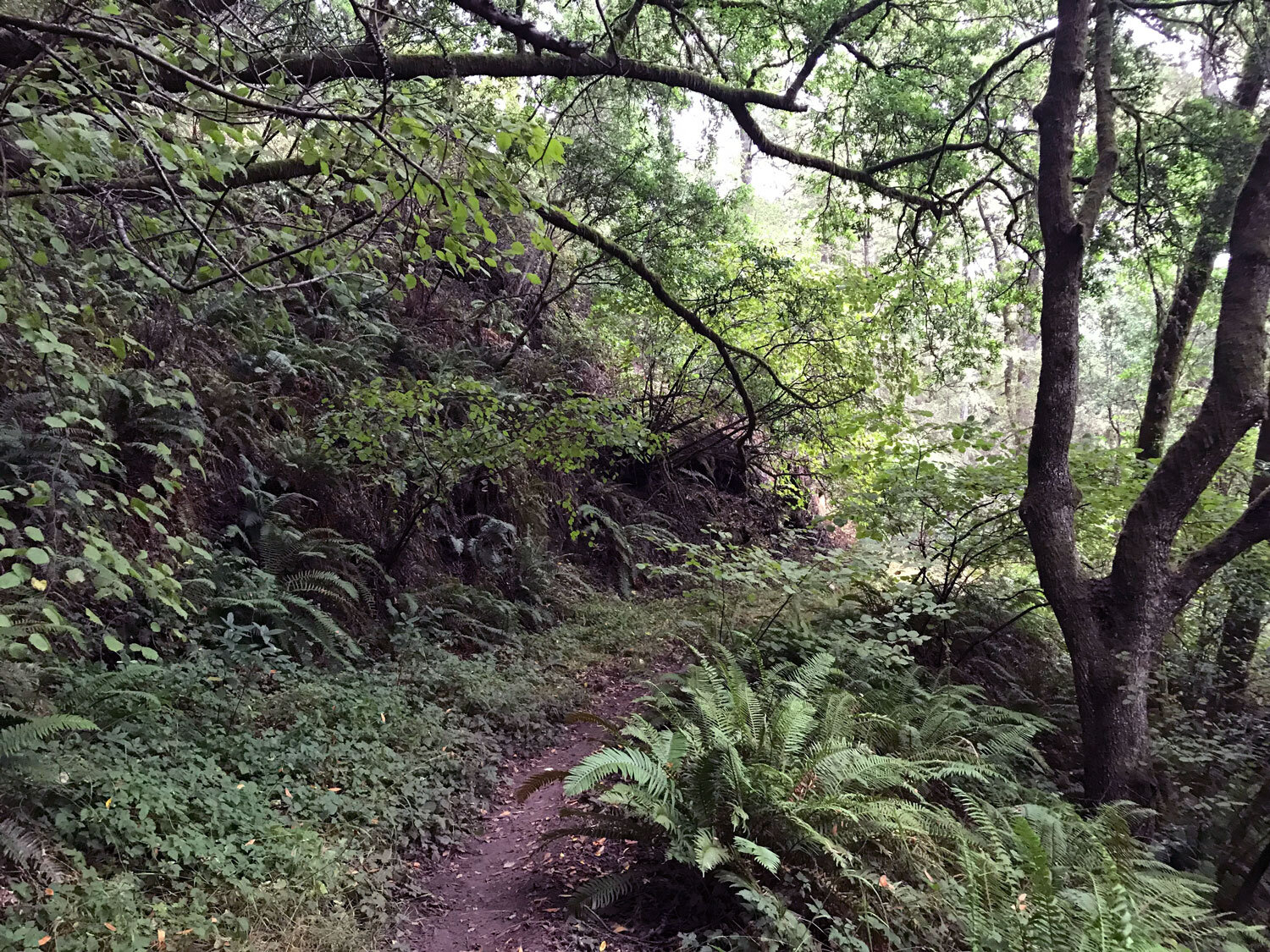
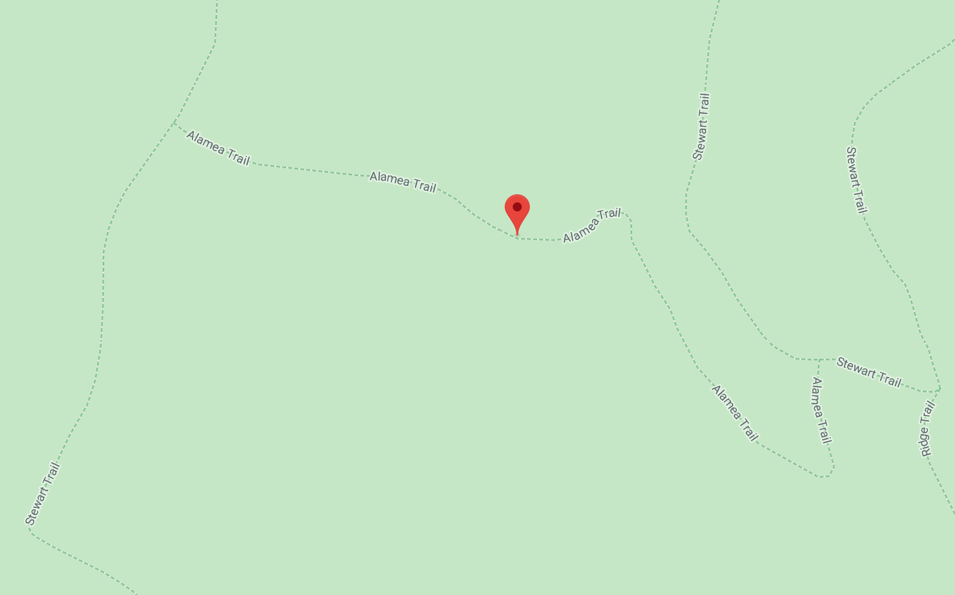
Alamea Trail
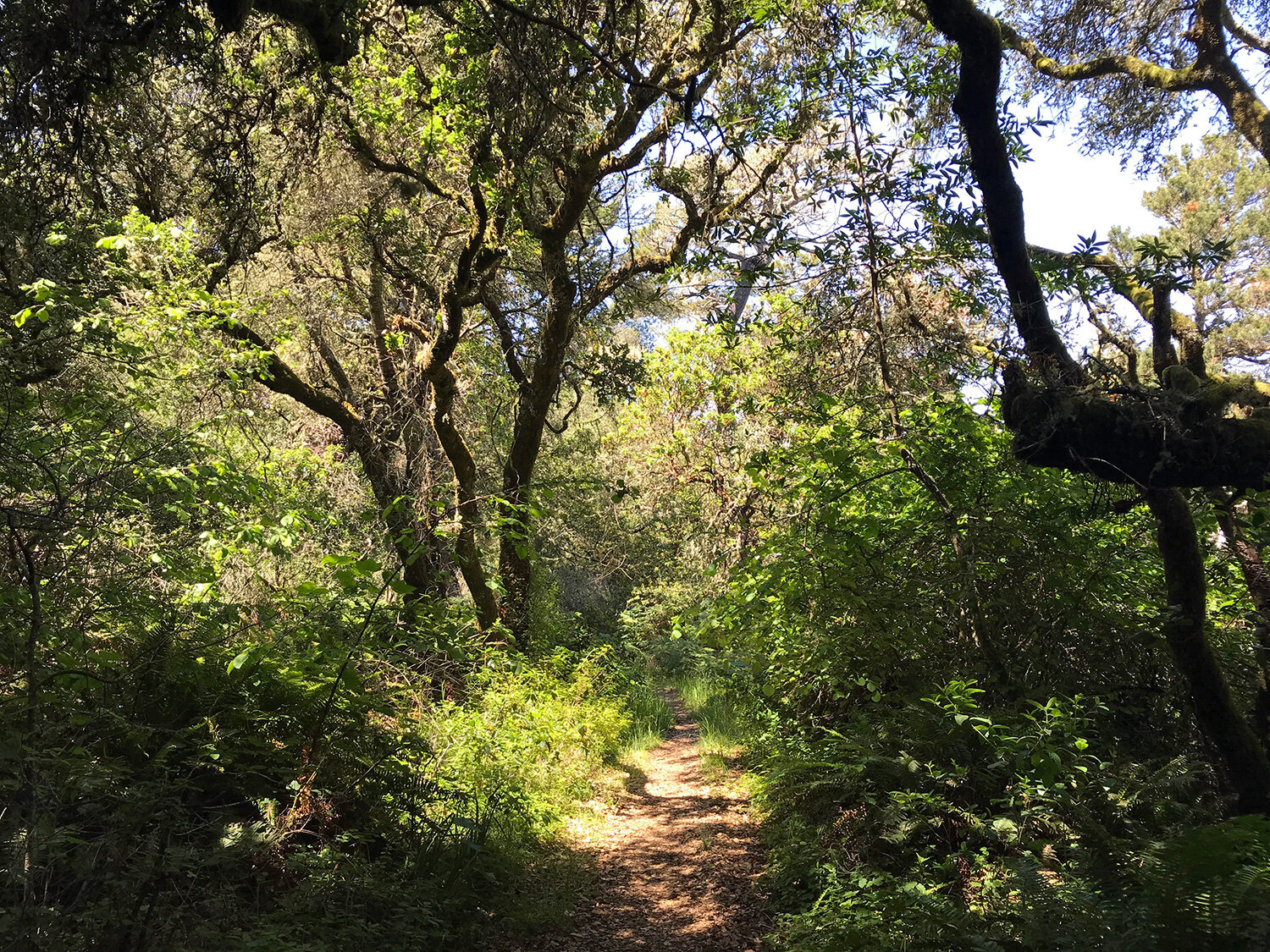
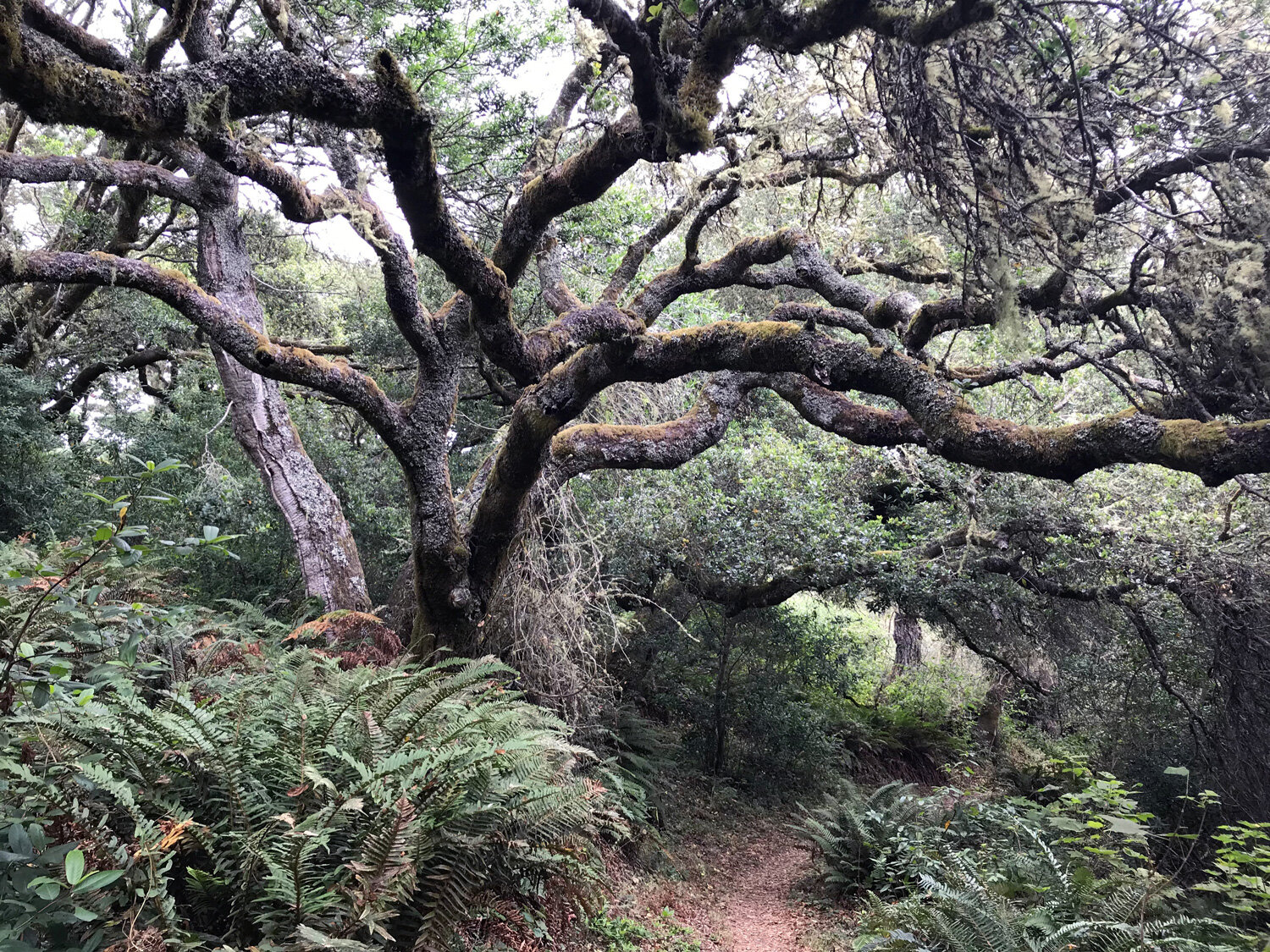
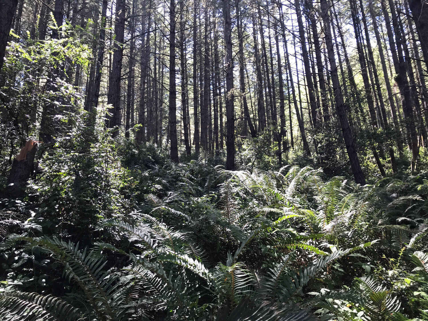
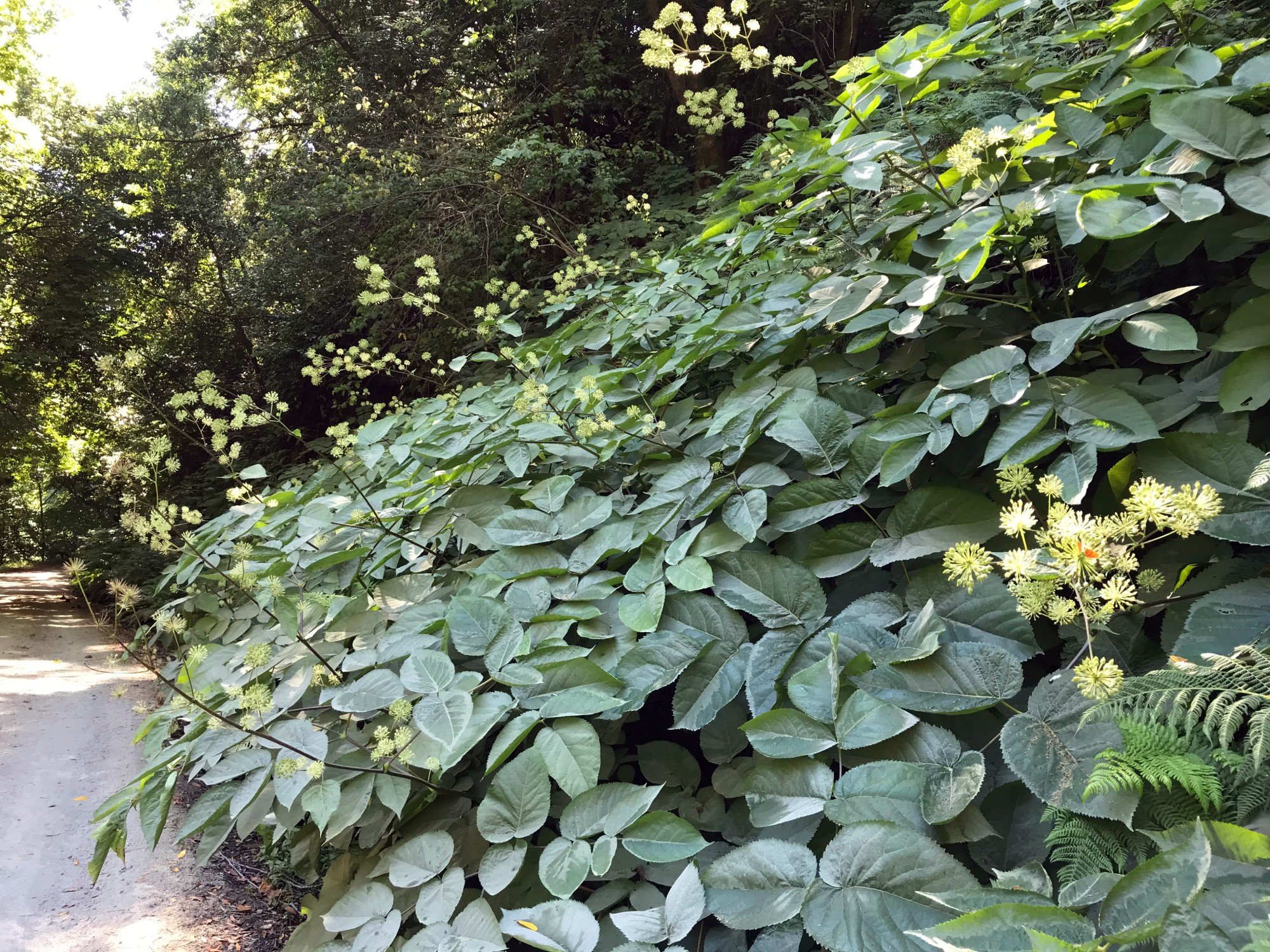
The Alamea Trail is a short trail that runs between the Stewart Trail and Coast Trail. It’s a shady trail rich in ferns, lichens, and hanging moss. Combine it with the Old Out Road Trail and the Stewart Trail and Greenpicker Trail to make a loop. Get details

Baldy Trail
Baldy Trail is anything but bare. In late spring, summer and fall, the trail is buried in high dense grasses, poison oak, and stinging nettles. However, in the winter and early spring it’s a pleasant, but not particularly interesting, hike and the shortest trail between the Bear Valley Trail and the Sky Trail. Get details
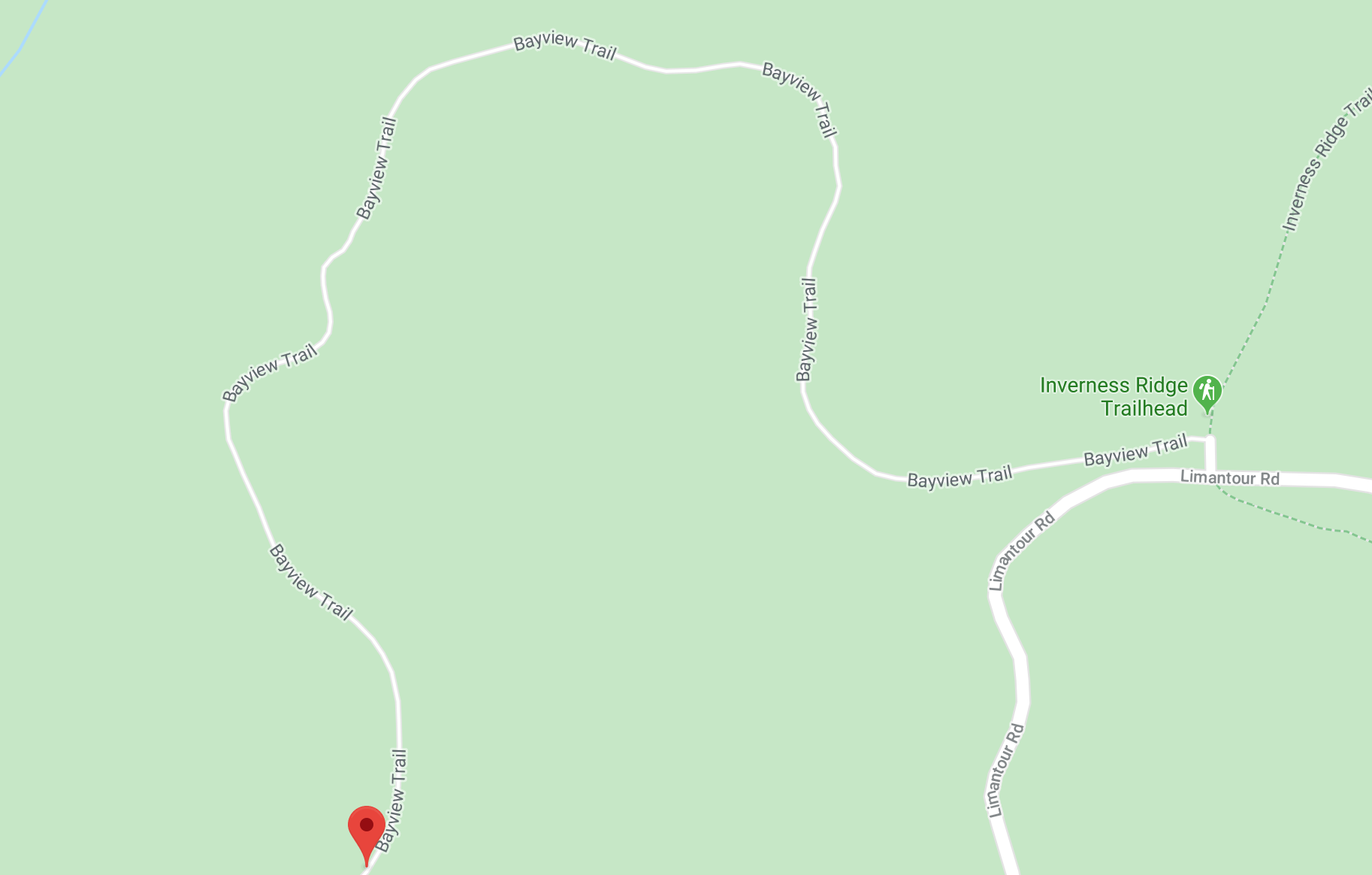
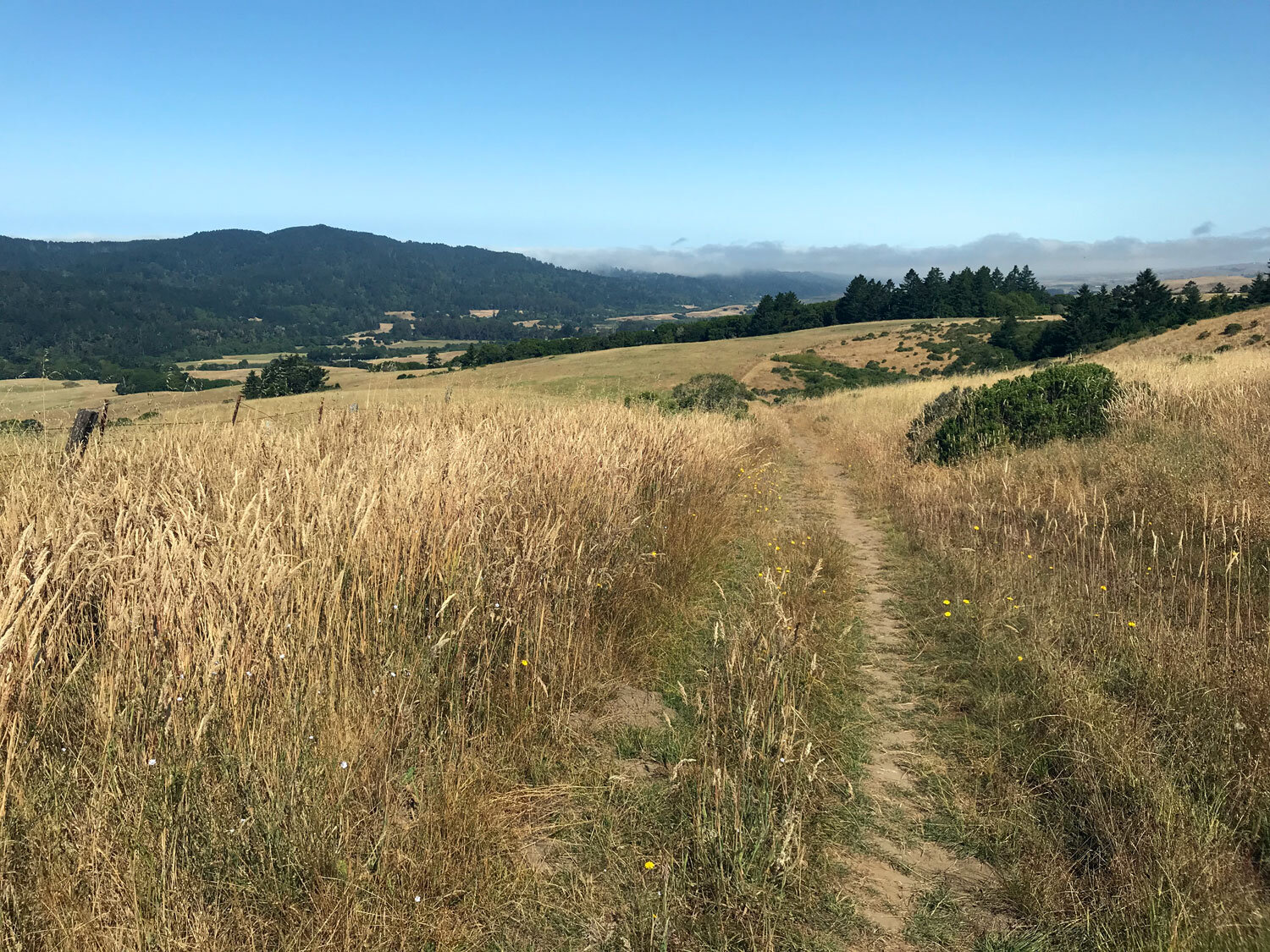
Bayview Trail
The Bayview Trail begins near the Inverness Ridge Trail and ends at the Muddy Hollow Road Trail. The terrain is similar to the nearby Drakes View Trail but the Bayview offers better views of Inverness Ridge. Toward the Muddy Hollow end of the trail is a stand of grand old California Buckeye trees, and at the intersection of Bayview and Muddy Hollow is a striking group of ghostly white dead trees. Get details
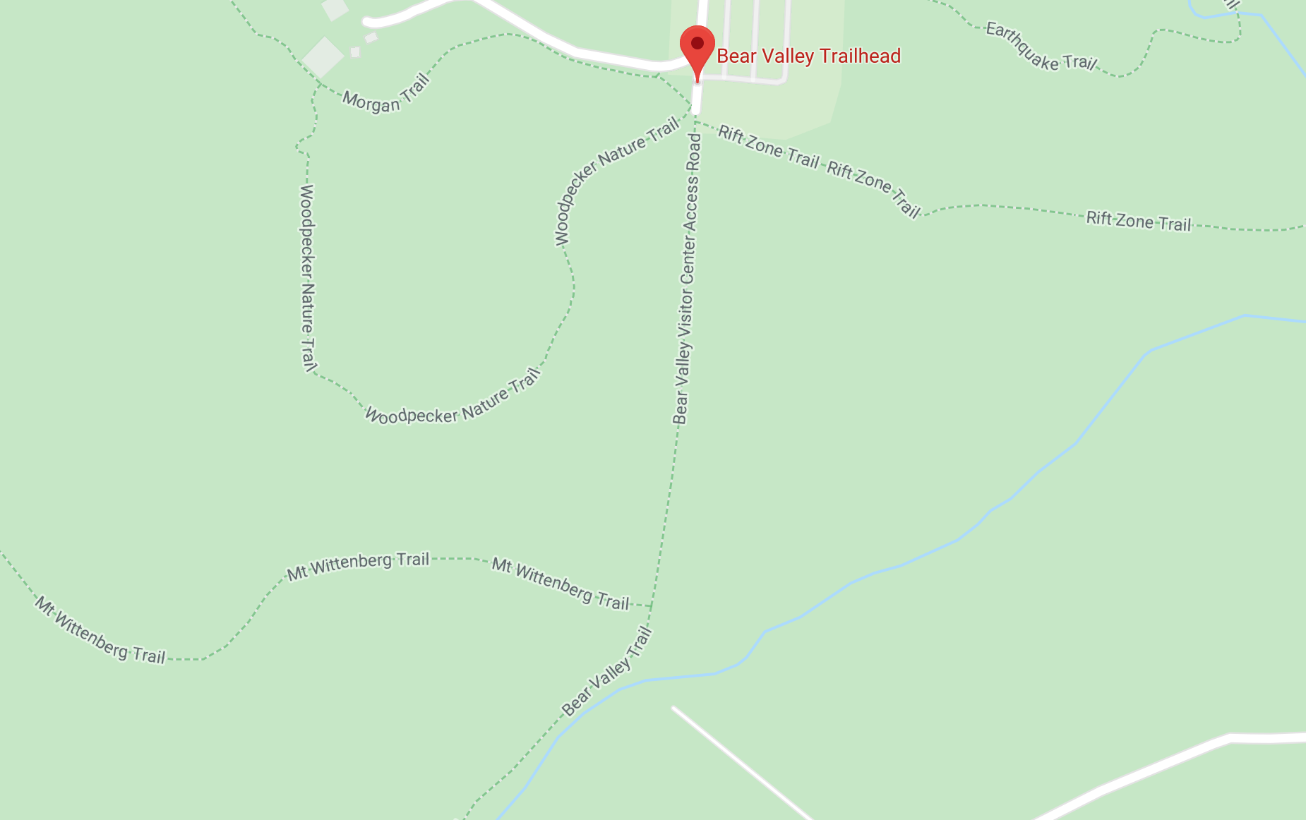
Bear Valley Trail
At the heart of Point Reyes National Seashore is the Bear Valley Visitor Center and Bear Valley Trail. It's where many visitors start their exploration, so you can expect to find the Bear Valley Trail heavily trafficked. Several trails start from the Bear Valley Trail including the Rift Zone Trail (to the left of the trailhead), the Woodpecker Trail (to the right), and several other trails along the way to the right: Wittenberg, Meadow, Old Pine, Baldy. If you go far enough, you'll bump into the Coast Trail extending in both directions with lovely views of the coast. Get details
Bolema Trail
The Bolema Trail is a connector between the Ridge Trail to the west (ocean side) and the Olema Valley Trail to the east. This shaded trail is a gradual ascent from Olema Valley to the top of the Inverness Ridge. Get details.

Bolinas Lagoon - Bob Stewart Trail
The Bob Stewart Trail is a short trail on the north end of the Bolinas Lagoon. It’s part of the Bolinas Lagoon Preserve. The trailhead is near the farm stand on Olema Bolinas Road not far from the intersection with Horseshoe Hill Rd. Get details

Bolinas Ridge Trail
The north and south ends of the Bolinas Ridge Trail have very different landscapes. The south end, closer to Bolinas offers more shade. It’s a mix of Douglas fir forests interspersed with exposed arid, rocky chaparral terrain. The north end, in Olema is grassy pasture land, fully exposed to the sun, with panoramic views all the way to Tomales Bay. Get details

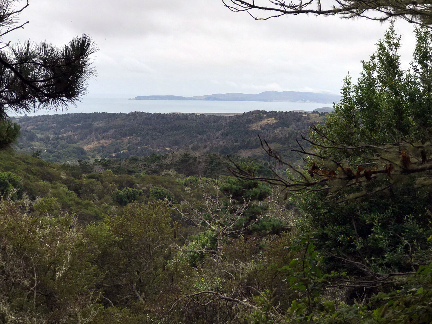
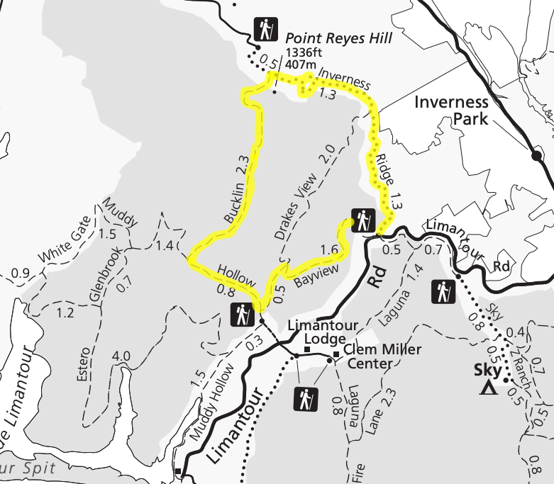
Bucklin Trail
Spectacular views of the ocean, spanning from Limantour Beach to Chimney Rock are hallmarks of this trail. Starting at the Mount Vision parking lot, the Bucklin Trail is the first of three trails that connect to the Inverness Ridge Trail. Get details
Bucklin Big Loop
A forest loop starting at the Bayview Trailhead, spanning the full Inverness Ridge Trail, down the scenic Bucklin Trail with views of the ocean, a short distance on the fully exposed Muddy Hollow Road Trail, and uphill back on the Bayview. Get details

Bull Point Trail
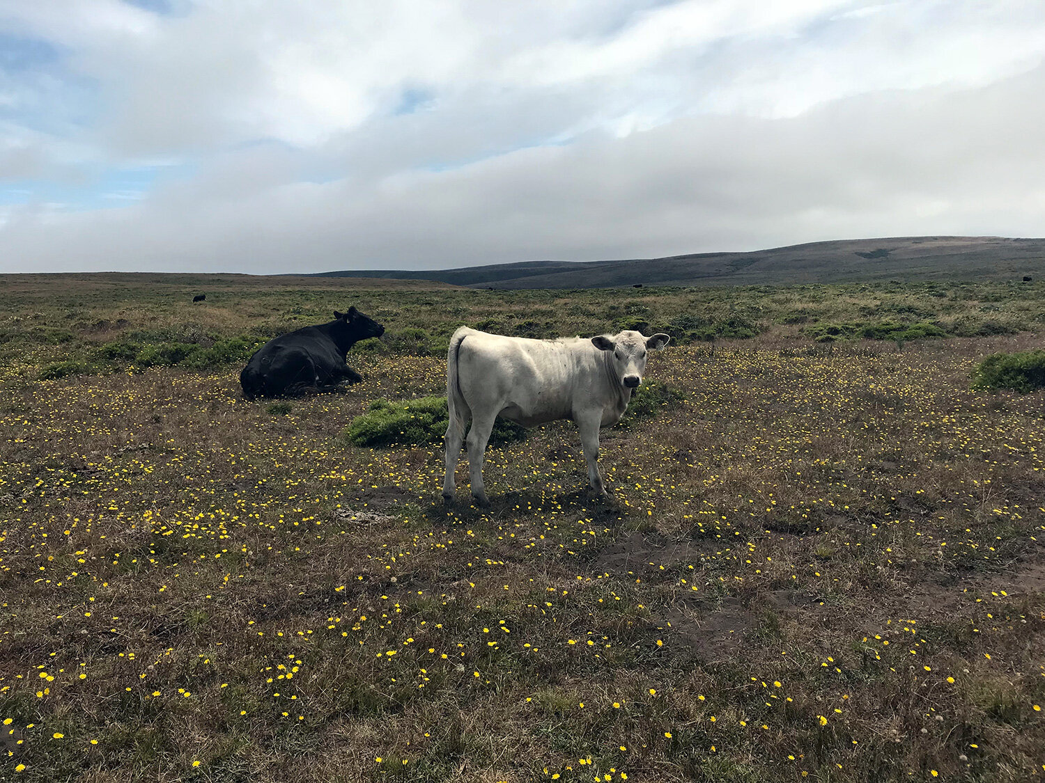
Looking out across the pasture, you would not easily imagine Bull Point as a place of botanical richness. The Bull Point Trail is an easy stroll across the flat pasture bordering one of the fingers of the Estero -- Creamery Bay, and Historic F Ranch. Get details
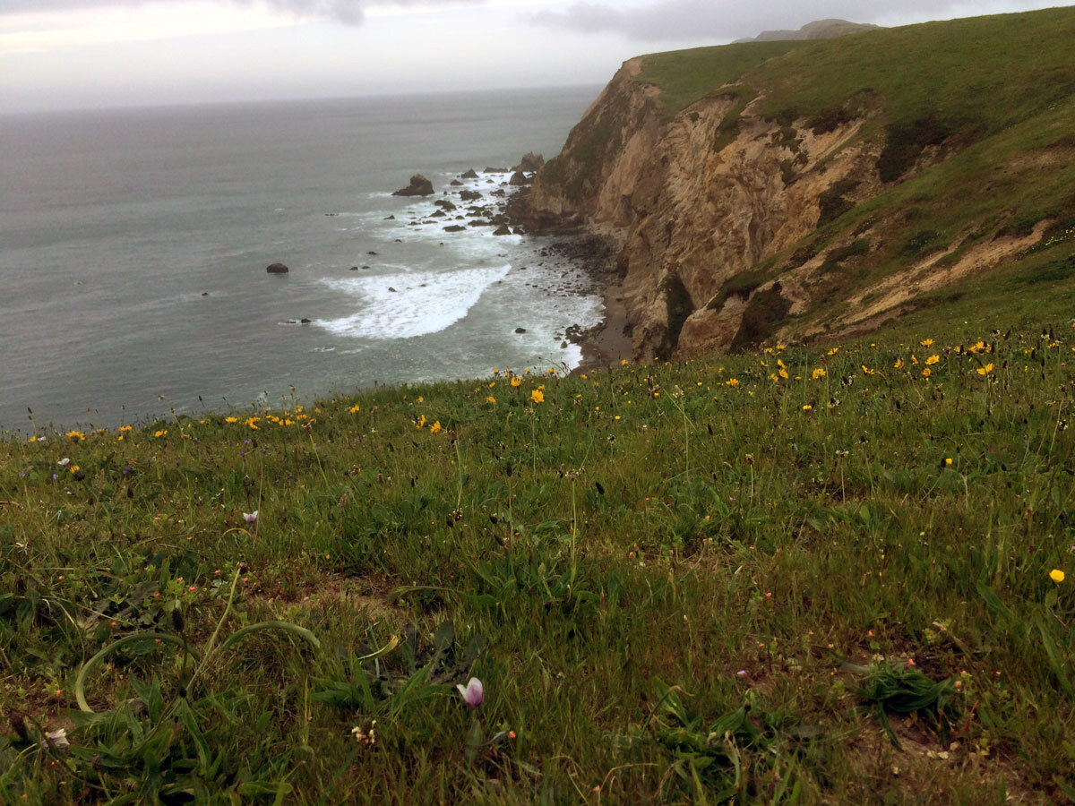
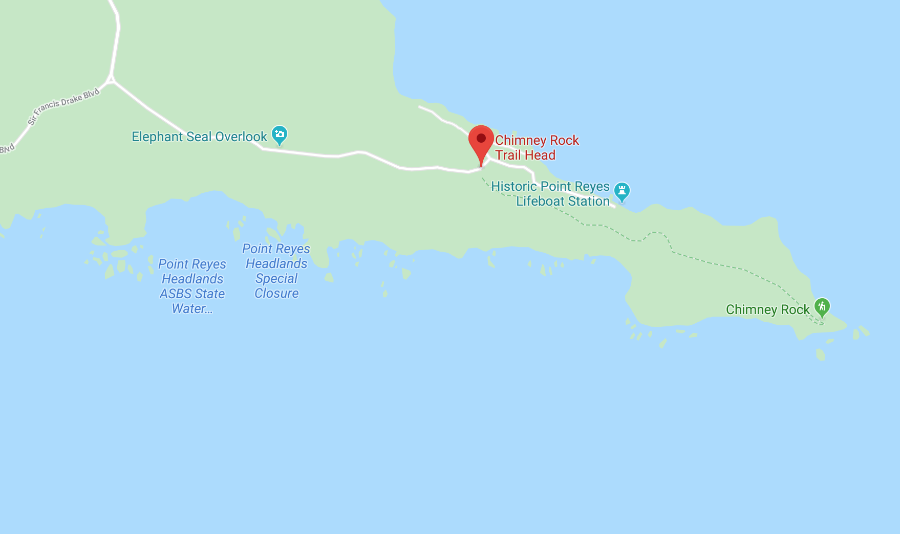
Chimney Rock Trail
Trek out to this iconic eastern spur of the Point Reyes Headlands. You will be treated to panoramic views of Drakes Bay and the ocean, abundant wildflowers in the spring, barking elephant seals, and whales in the distance (bring your binoculars!). Get details


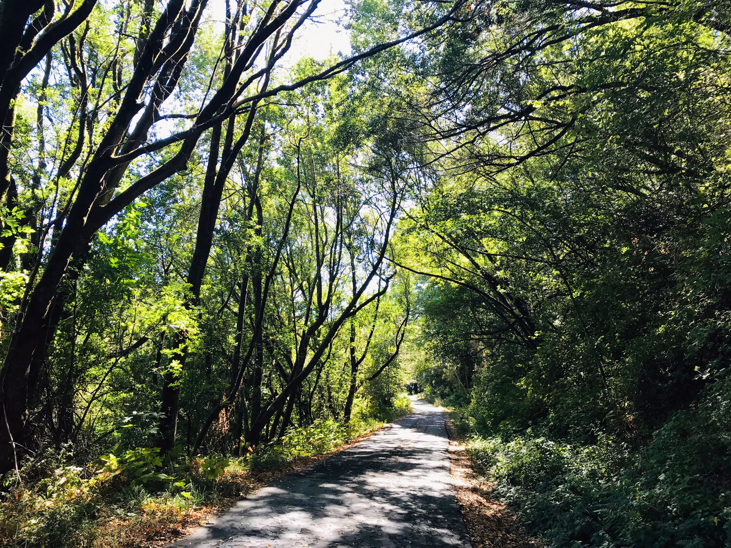
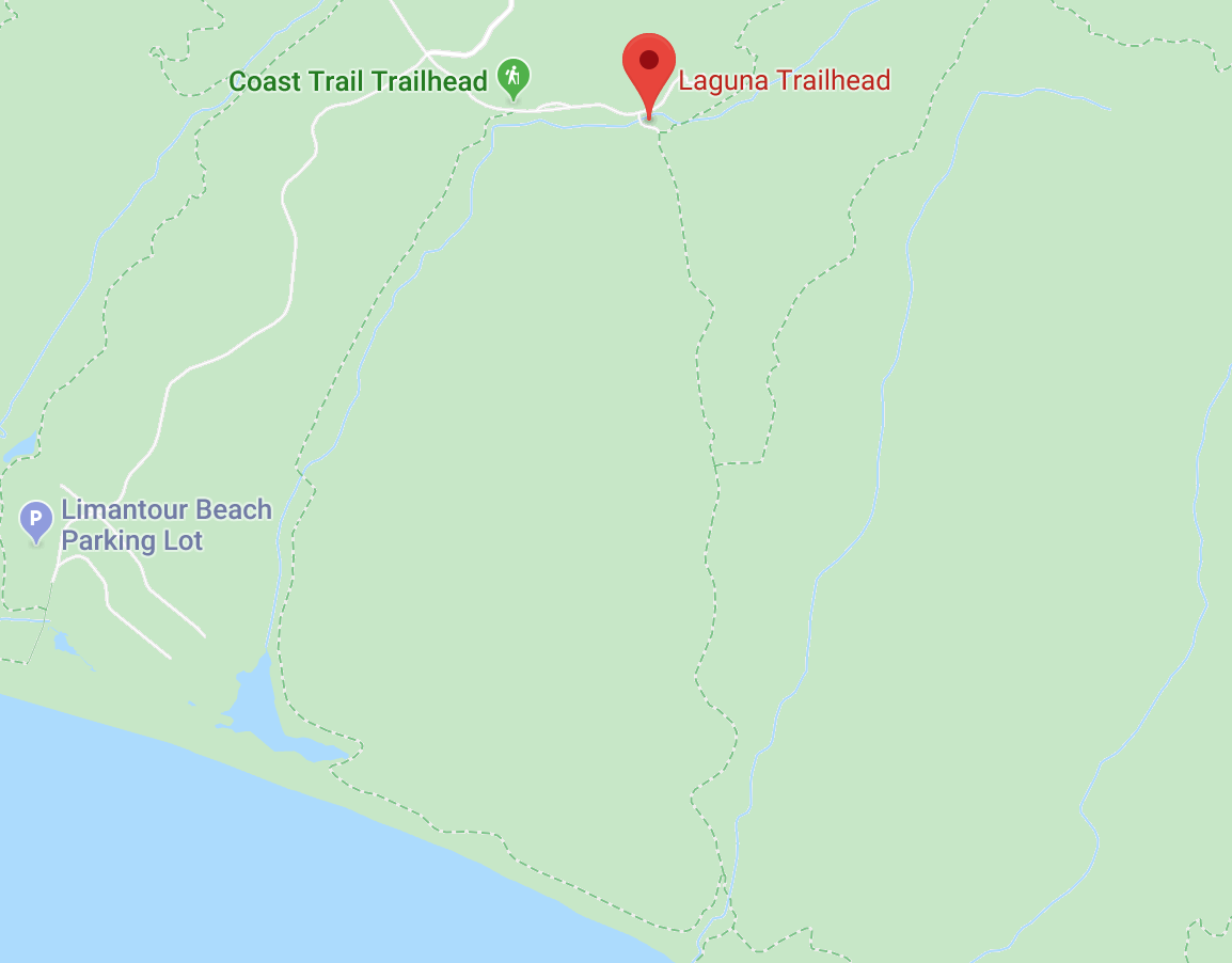
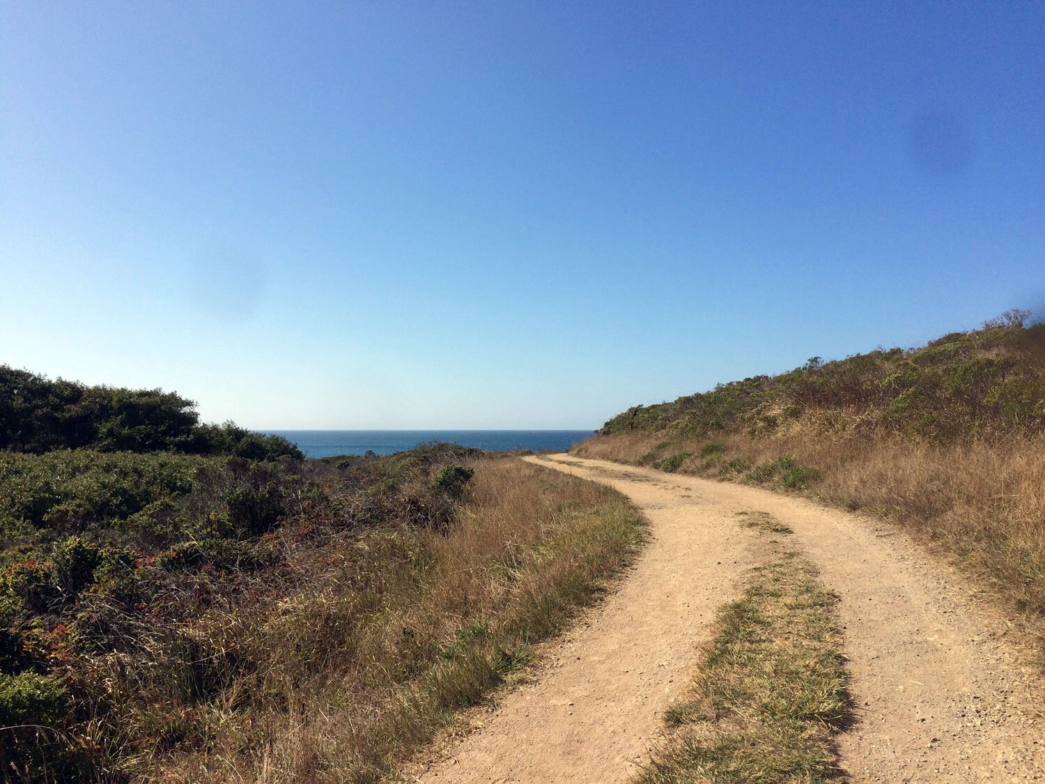
Coast Trail
This is one of the most spectacular trails in Point Reyes. If you are hiking the whole 15.5 mile trail, begin at the Laguna trailhead near the hostel and walk to the Palomarin trailhead to take advantage of the north to south slope. Although this trail is called the Coast Trail, it cuts inland through forests in several areas. Get details
Coast - Lake Ranch - Ridge Loop
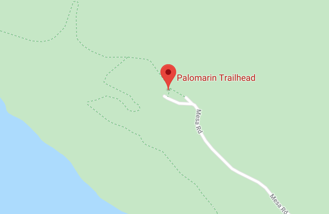
This is a lovely, mostly shaded 10-mile loop. Fall is a great time to hike this loop trail. The first rains bring a profusion of mushrooms to the forest and the Bigleaf Maples (Acer macrophyllum) stand out from their evergreen fir and bay neighbors with their big yellow leaves. Start at the Palomarin Trailhead. Get details

Cross Marin Trail
The Cross Marin Trail, which was once a railroad, is a popular bike trail. It’s a lovely, mostly shaded ride or hike through the bay, oak and fir trees. Combine it with the Jewell Trail for a 5.2 mile out-and-back hike.
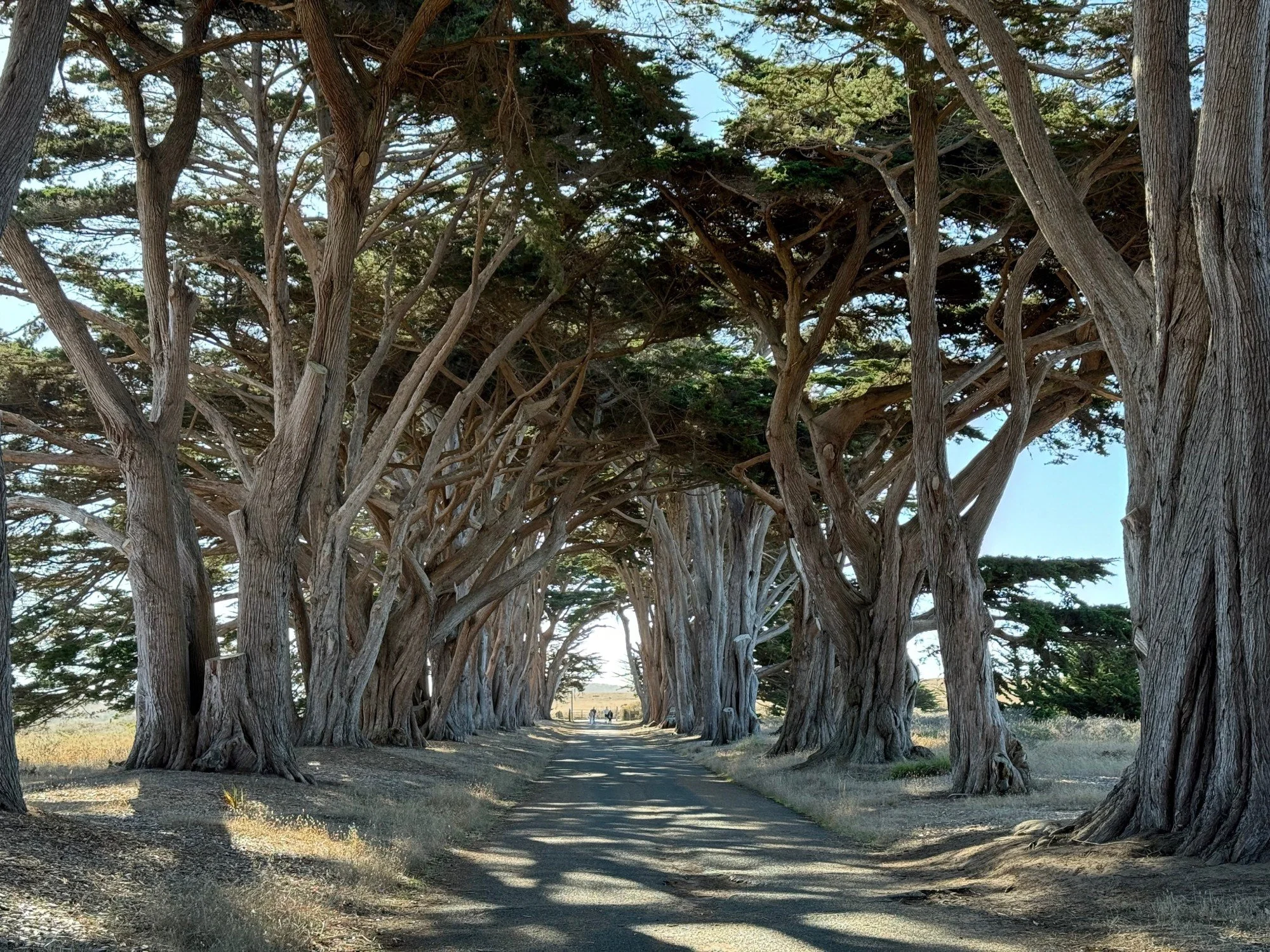
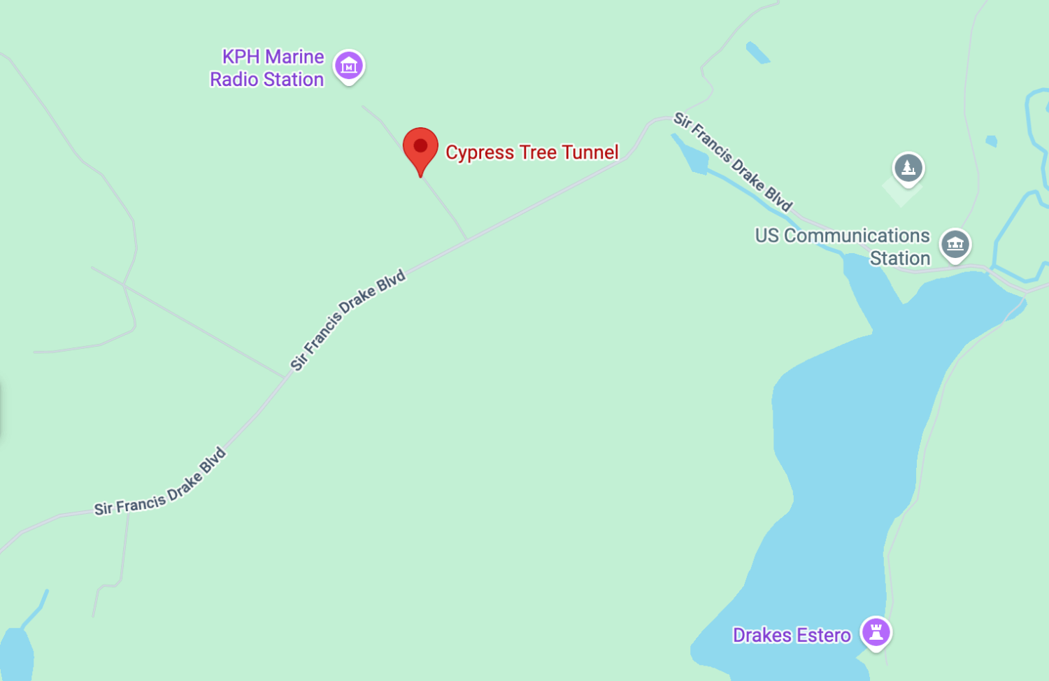
Cypress tree tunnel
One of the most iconic spots in Point Reyes, beloved by photographers and birders, the Cypress Tree Tunnel is a short paved road lined with towering Monterey Cypress trees leading to the historic RCA Coast Receiving Station.
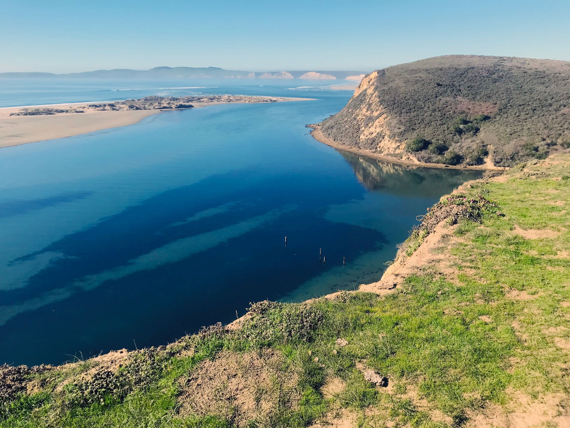
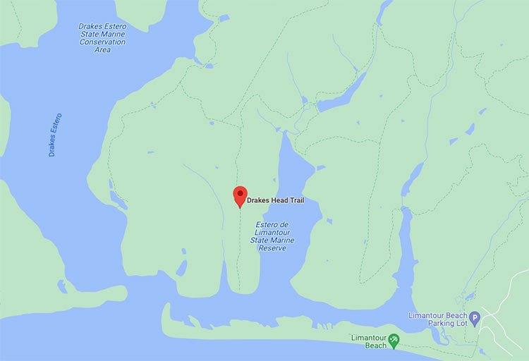
Drakes Head Trail
Stunning views of Drakes Estero, Limantour Estero and the Pacific Ocean. Walk or bike along a wide path with views overlooking the water. Cross a vast pasture to reach the end of the trail high atop Drakes Head. A great trail for shorebirds, song birds, and raptors. Get details

Drakes View Trail
The trail begins at about the midpoint of the Inverness Ridge Trail and descends steeply for 2 miles. It’s a soft trail to walk on — most of the trail is padded with Bishop pine needles. As you get closer to the Bayview Trail, you emerge from the pine forest and travel through sections of drier coastal scrub and wetter riparian terrain. Get details

Earthquake Trail
The Earthquake Trail is an easy stroll in a loop on a paved path. It’s perfect for young kids and accessible to wheelchairs and strollers. Signs along the trail tell you about the history of the 1906 earthquake. You’ll see a fence that moved 20 feet during the earthquake. Get details
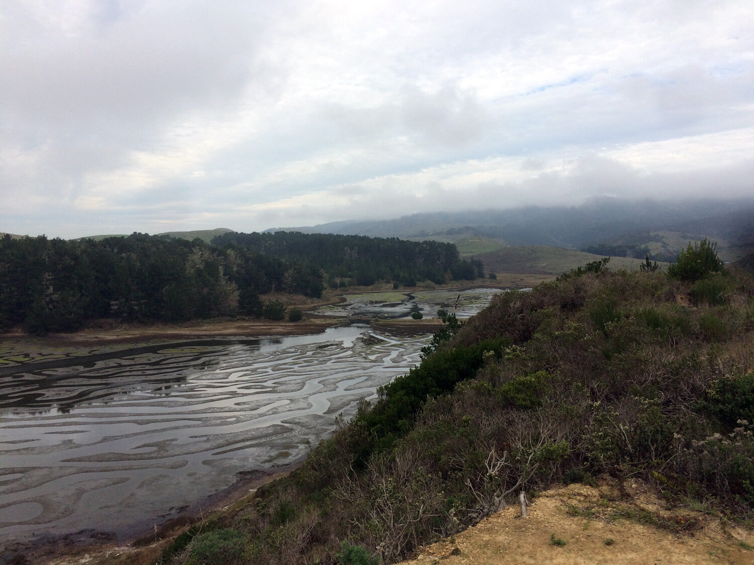
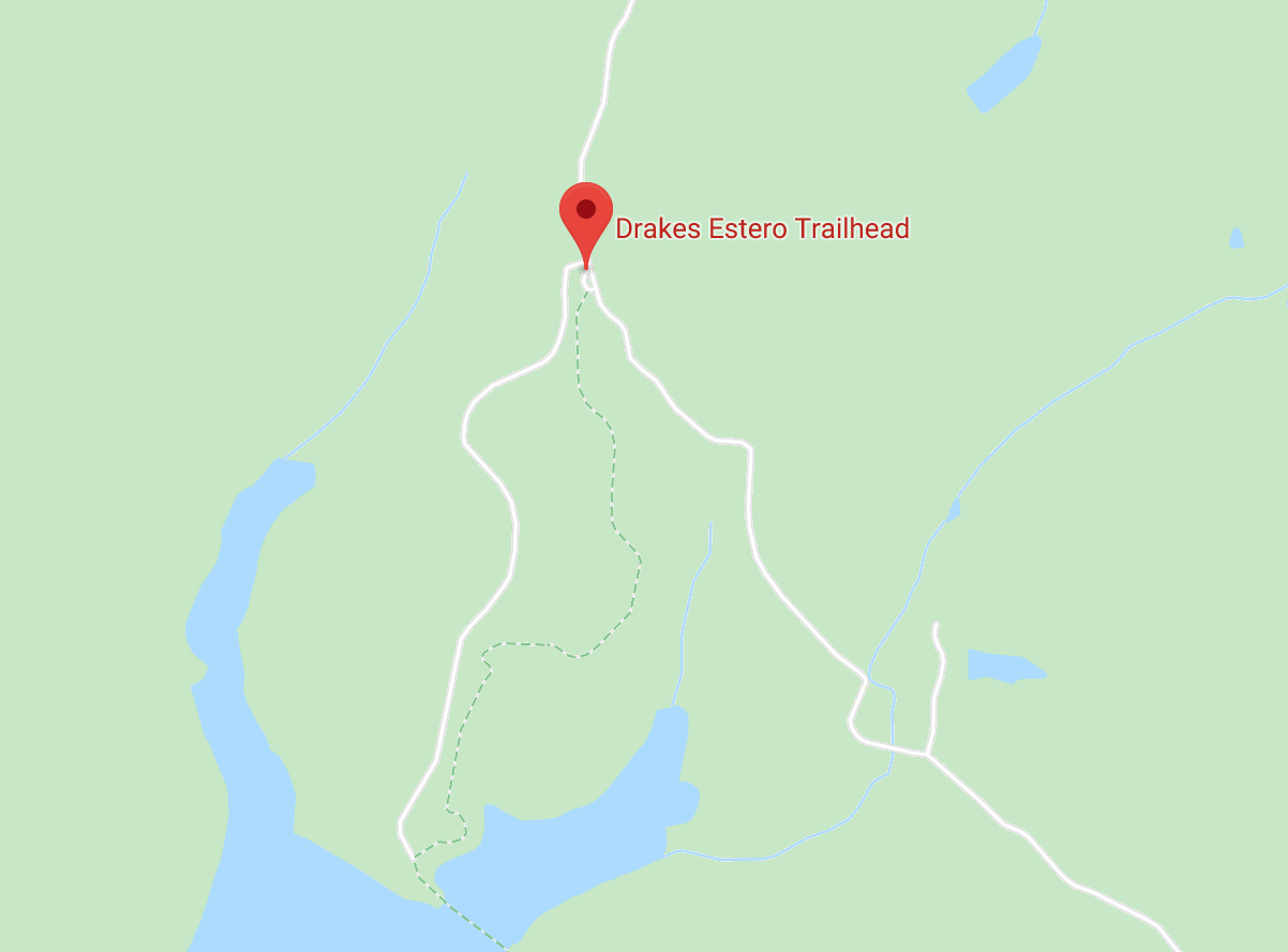
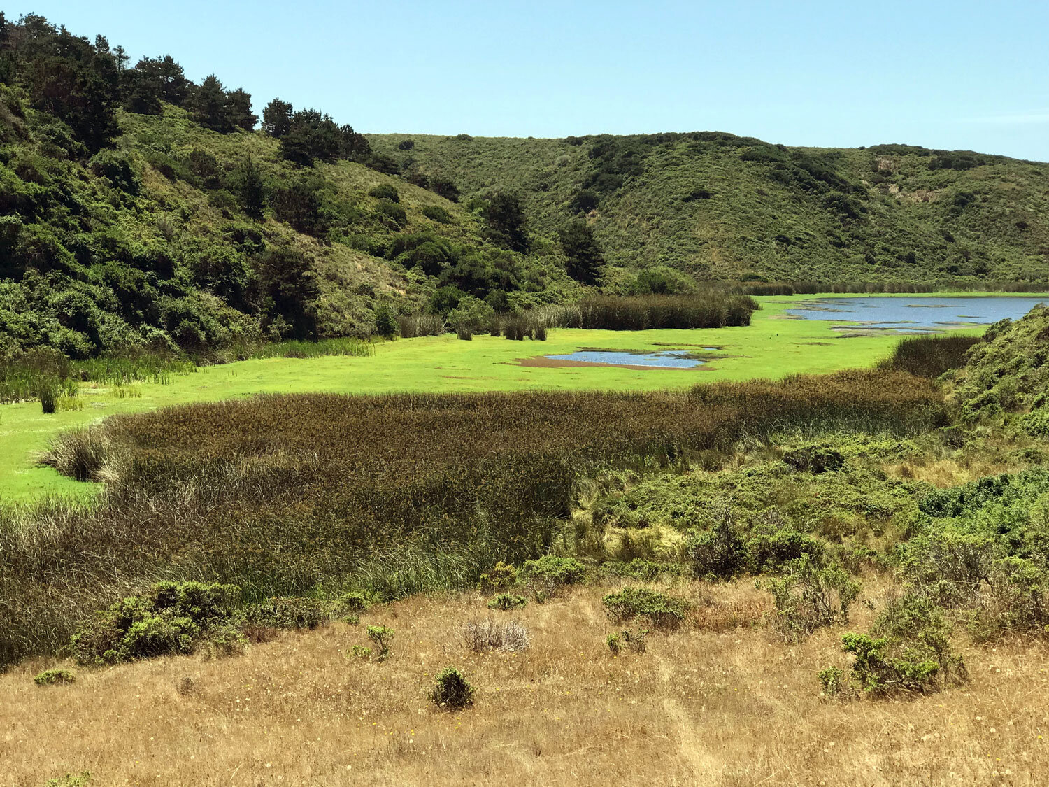
Estero Trail
Several segments connect to make one long trail traversing 9.2 miles from the Estero Trailhead to the Muddy Hollow Trail. Get details
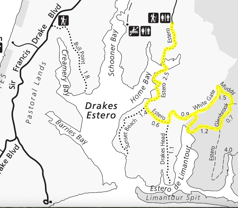
Estero White Gate LooP
Visit both Drakes Estero and Limantour Estero on this “Double Estero” hike through a small forest and across vast grasslands, nearly always within sight of water. Get details
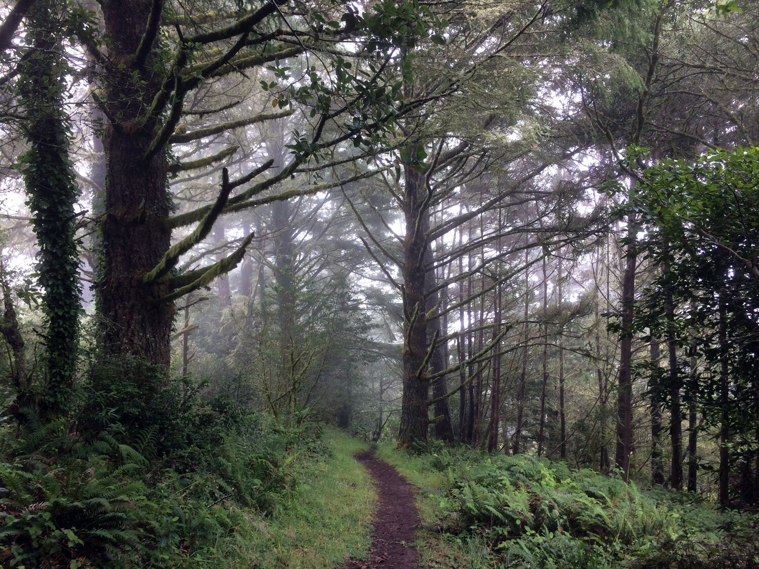
Fire Lane Trail
Fire Lane Trail passes through shady fir and bay forest at the end closest to the Sky Trail to exposed coastal scrub at the Laguna Trailhead end. Get details
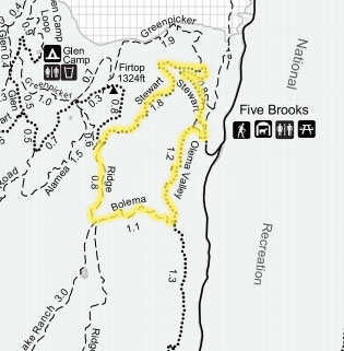
Five Brooks Loop
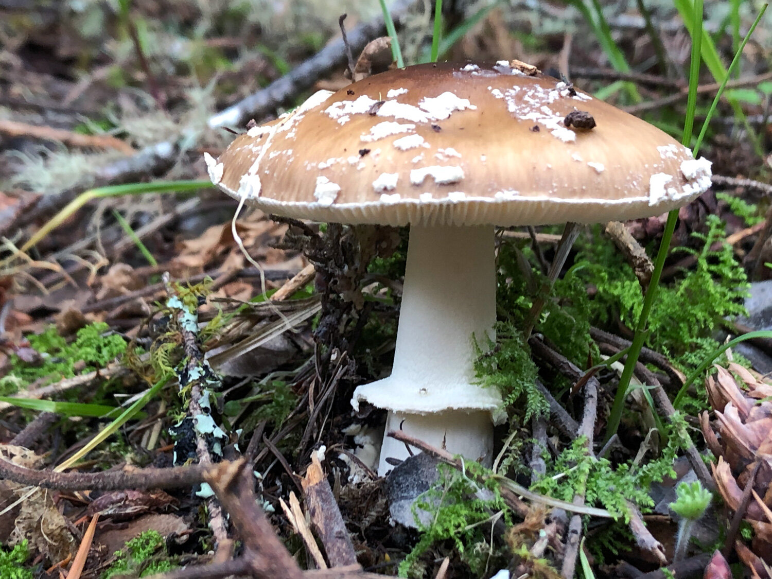
This mostly-shaded 5.7 mile loop is a gradual ascent from Olema Valley to the top of the Inverness Ridge and back. Trails include the Olema Valley Trail, Bolema Trail, Ridge Trail, Stewart Trail. Hike this loop in either direction. The mixed oak, bay, fir forest at Five Brooks is a great place to spot mushrooms along the trail in the rainy season (November-April). Get details


Giacomini Wetlands
An old white barn still stands at the edge of the upper grassland and provides a home for swallows and other birds and critters. A short walk from the barn, two park benches overlook Tomales Bay — a great place to rest and spot water birds, such as egrets, herons, and you may even see a bald eagle. Get details
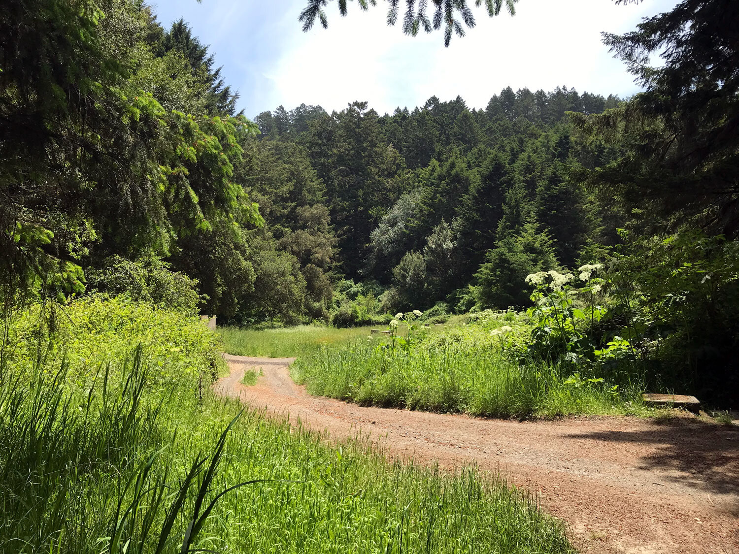
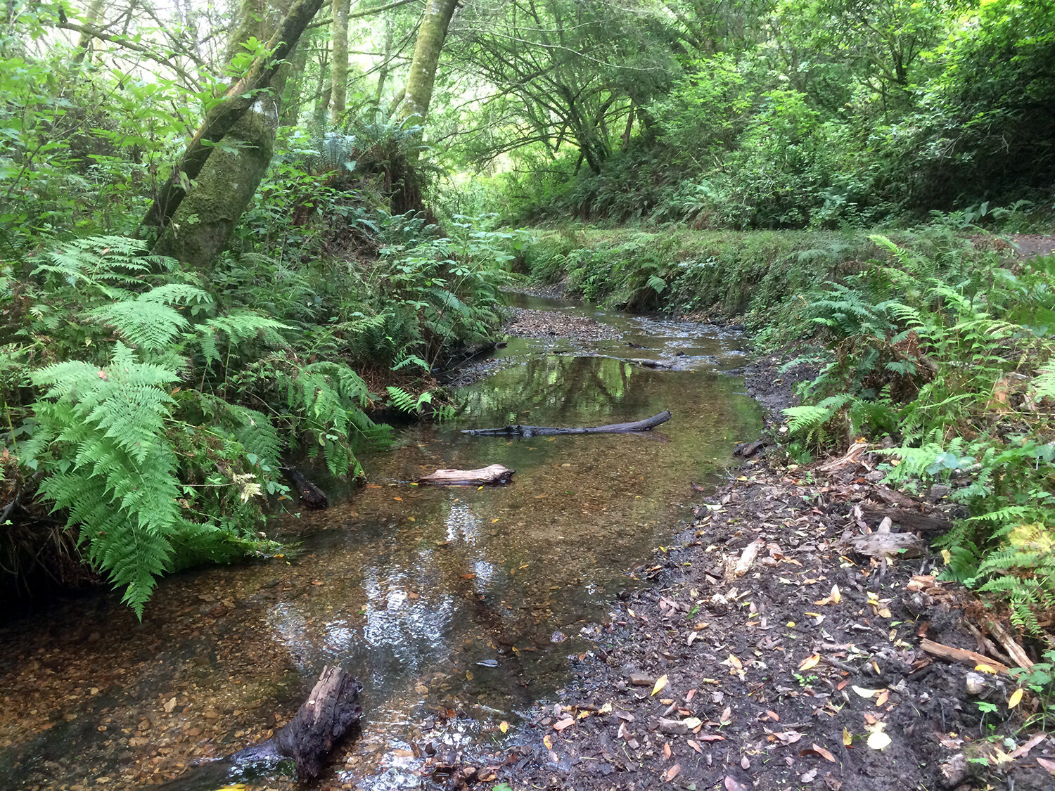
Glen Trail
The Glen Trail begins three-quarters of the way to the end of the Bear Valley Trail, 3.1 miles from the Bear Valley Visitor Center. A fast option for getting to the Glen Trail is to bike the Bear Valley Trail and park your bike in the rack opposite the Glen Trail. The Glen Trail is a shaded hike through fir trees and ferns. In the spring, everything is covered in the meandering vines of California Manroot (Marah fabacea).

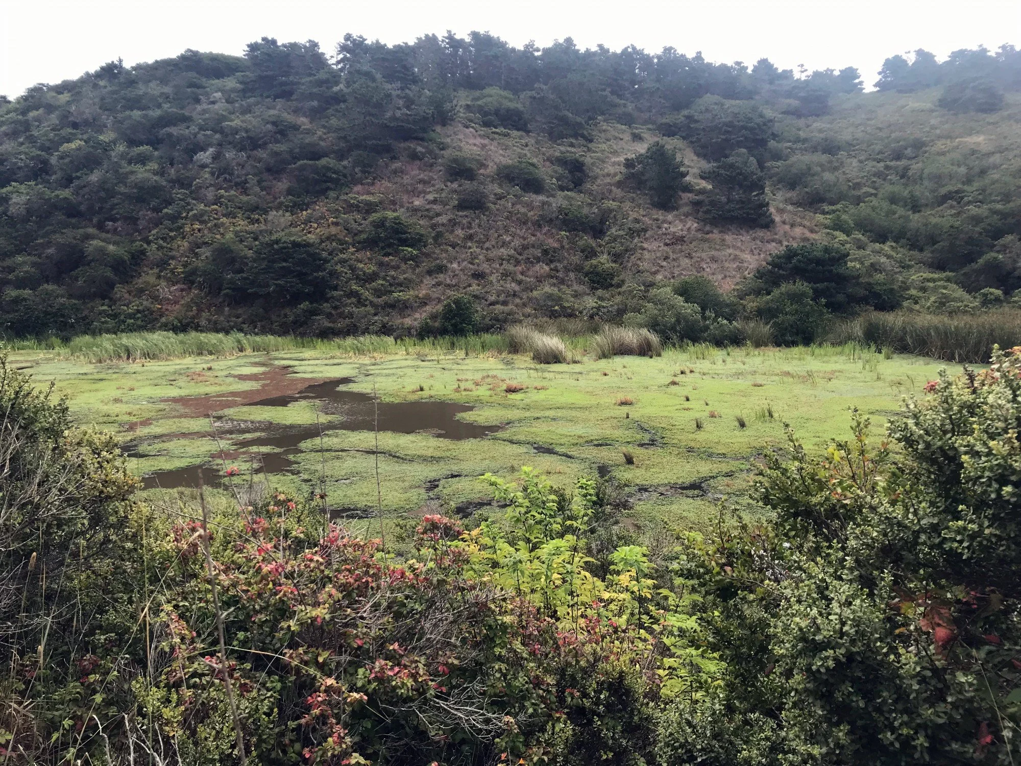
Glenbrook Trail
The Glenbrook Trail is a connector between the Muddy Hollow Road Trail and the Estero Trail. It ascends gradually then flattens out with a beautiful view of the ocean in the distance. It’s home to Tule Elk and you’re likely spot their antler rubbings and scraping marks on trees in the area. Get details
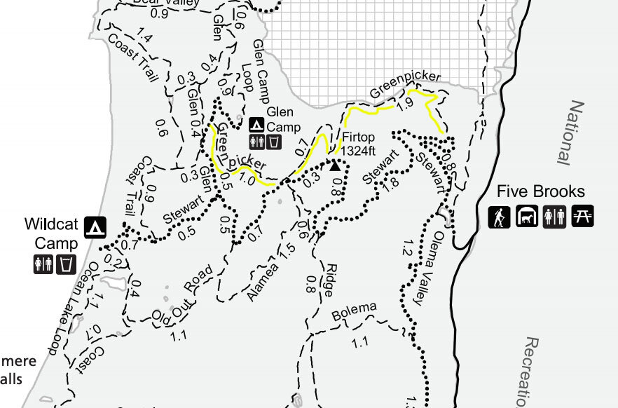
Greenpicker Trail
The Greenpicker trail runs between the Stewart and Glen trails in three segments. The trail is mostly shaded and passes through serene forests of oak, douglas fir, bay and maple. Get details

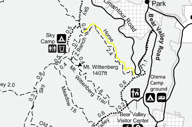
Horse Trail
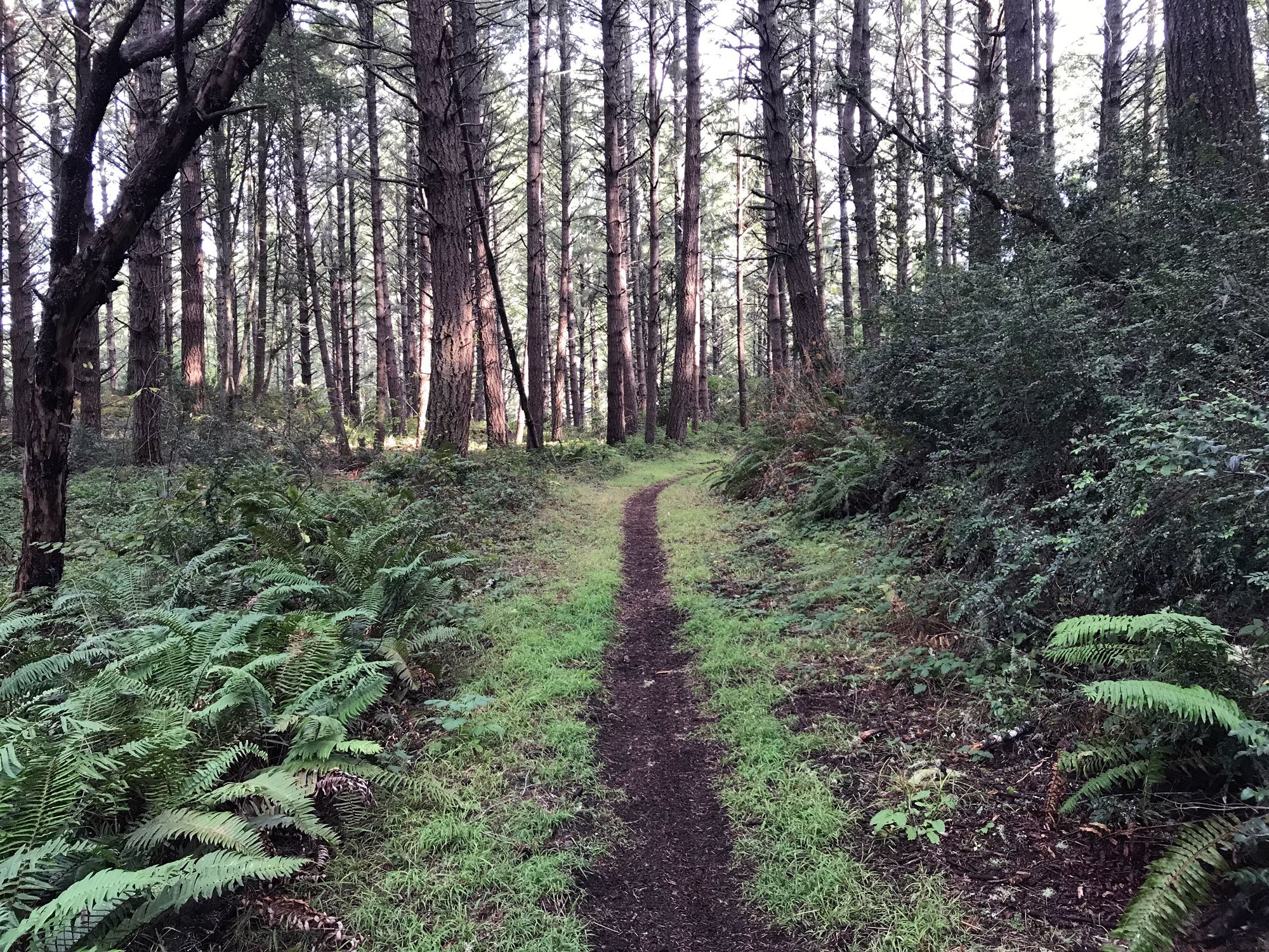
The Horse Trail parallels Limantour Road and has peeks of the rolling hills looking toward Point Reyes Station. This shaded forest provides a home to moisture-loving mushrooms and lichens as well as hazelnuts (Corylus cornuta), Red-berried Elder (Sambucus racemose), and barberries (Berberis). Get details


Inverness Ridge Loop
A 5-mile loop on the Inverness Ridge Trail, Drakes View Trail and Bayview Trail through dense bishop pine forest. Get details


Inverness Ridge Trail
The Inverness Ridge Trail offers views of Drakes Beach and Chimney Rock in the distance. The dirt path portion of the trail ascends fairly steeply through a pine and fir forest and then opens up to a view of homes on the right and forest on the left. The trail runs along the ridge between Mount Vision and Limantour Rd. Get details
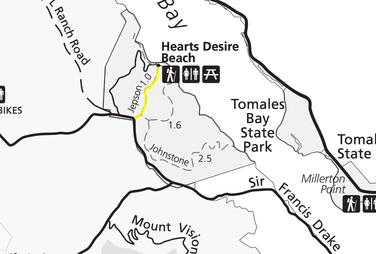
Jepson Trail
This hike is in Tomales Bay State Park. Mostly shaded, it's perfect for a warm day when you want to escape the heat. This is an ideal nature hike for kids. It's got plenty of different leaves, banana slugs, and delicious huckleberries in summer. For kids, hike the Jepson trail to Heart's Desire Beach. Get details
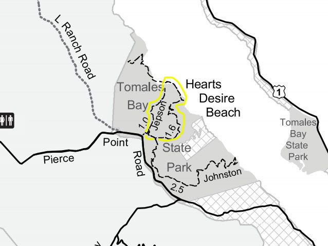
Jepson-Johnstone Loop
Technically, this hike is in Tomales Bay State Park. Mostly shaded, it's perfect for a warm day when you want to escape the heat. This is an ideal nature hike for kids. It's got plenty of different leaves, banana slugs, and delicious huckleberries in summer. Get details
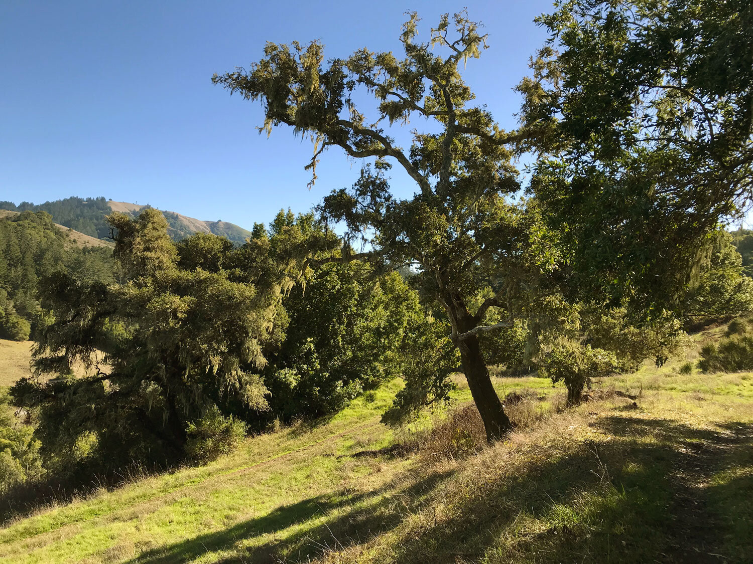
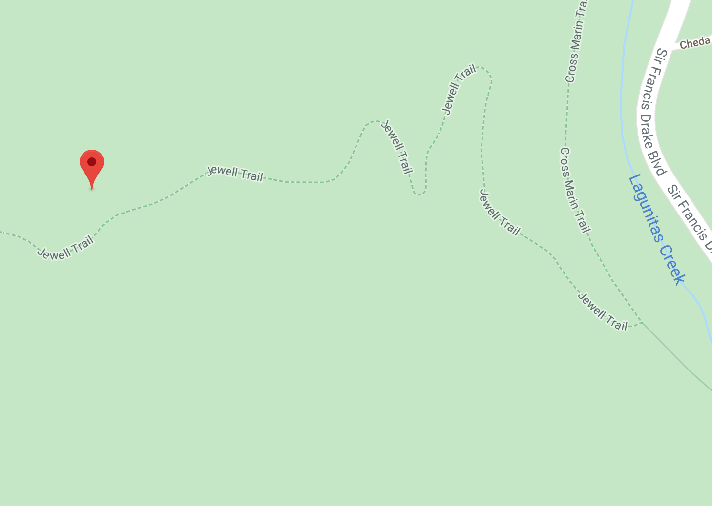
Jewell Trail
The Jewell Trail is a short sloped trail connecting the Bolinas Ridge Trail with the Cross Marin Trail in the Golden Gate National Recreation Area (GGNRA). As you ascend you’ll be treated to views of the surrounding hills. Get details
Johnstone Trail
There are two Johnstone trails in Tomales Bay State Park — the Jepson-Johnstone Loop and the Johnstone Trail to Shell Beach. The two trails overlap for a short distance. At the intersection where the trails meet, one way takes you to Shell Beach and the other to the Jepson-Johnstone Loop. Get details

Laguna-Bayview-Fire Loop
This 6 or 9 mile loop will take you through shady forests and coastal chaparral. You will see the ocean in the distance from several spots. The longer loop takes you along the shoreline and through a majestic stand of alders along the creek. Get details
Laguna-Coast Loop
This loop is one of my favorite short hikes in Point Reyes. The first peek of the ocean as you descend on the Laguna-Fire Lane Trail is wonderful. Alder trees offer shade and make for a majestic promenade along the Coast trail between Limantour beach and the hostel. Get details

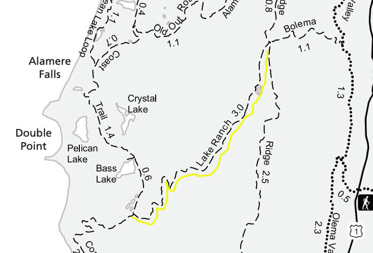
Lake Ranch Trail
The Lake Ranch Trail runs between the wildly popular Palomarin Trail and the Ridge Trail. In summer, the Lake Ranch trail gets overgrown with tall grasses interspersed with thorny brambles, stinging nettle, and poison oak reaching threateningly into the trail, so be prepared and cover your legs. Get details

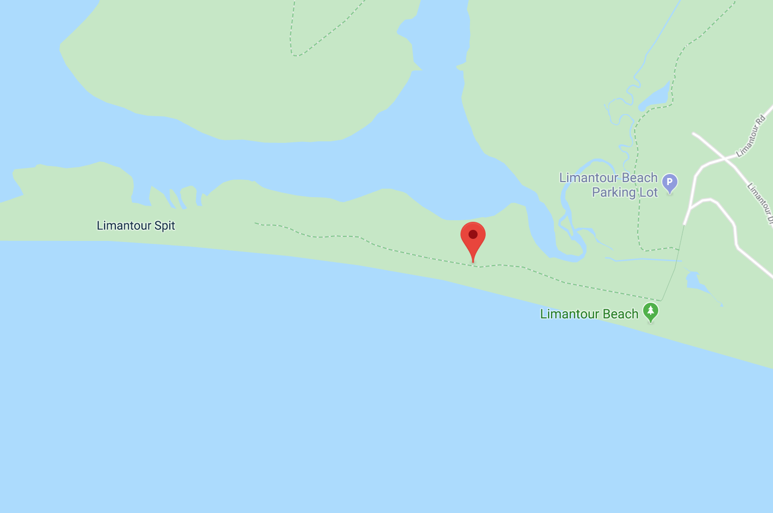
Limantour Spit Trail
The Limantour Spit is a short trail that runs between the dunes and marsh. You’ll be treated to panoramic views of the marsh and coastal scrub areas to the north and east. At many points along the trail, you can climb over the dunes and onto Limantour Beach. This area is rich in shorebirds and wildlife. Get details
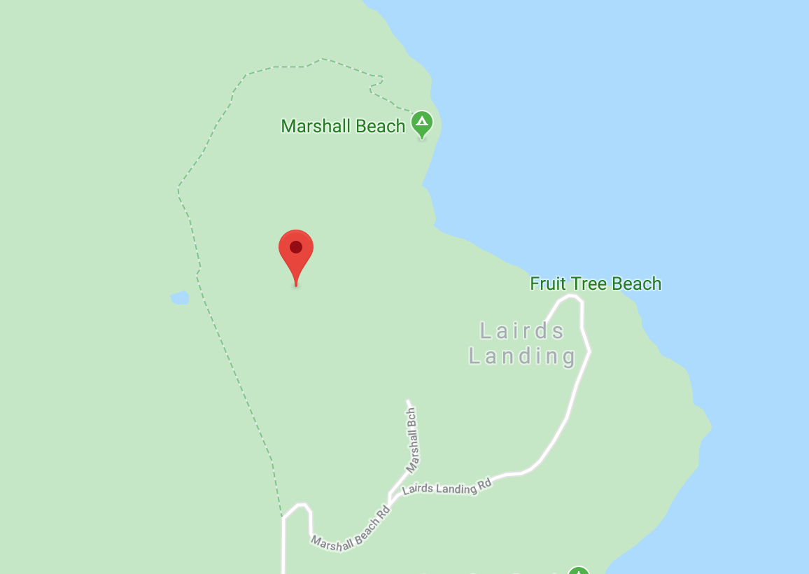
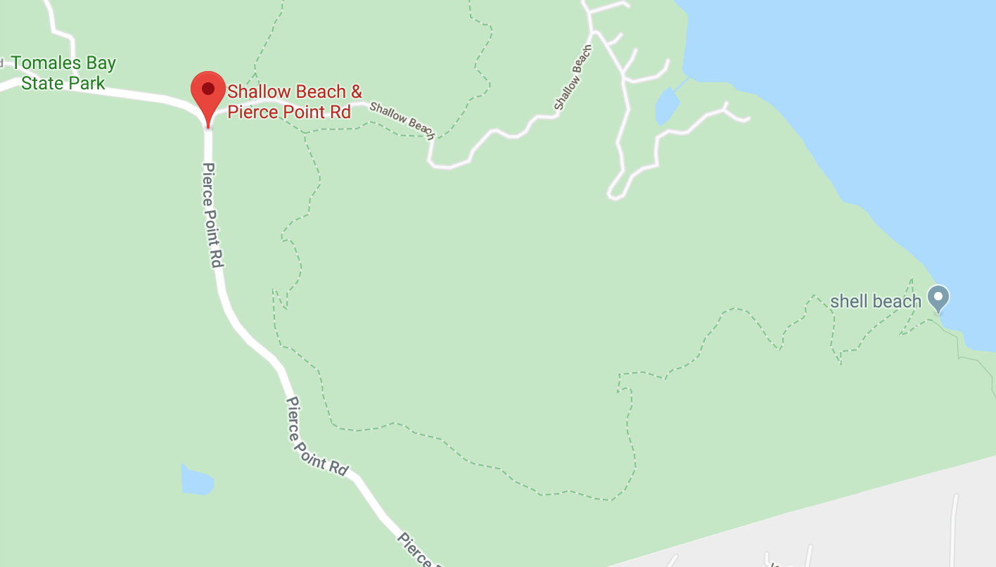
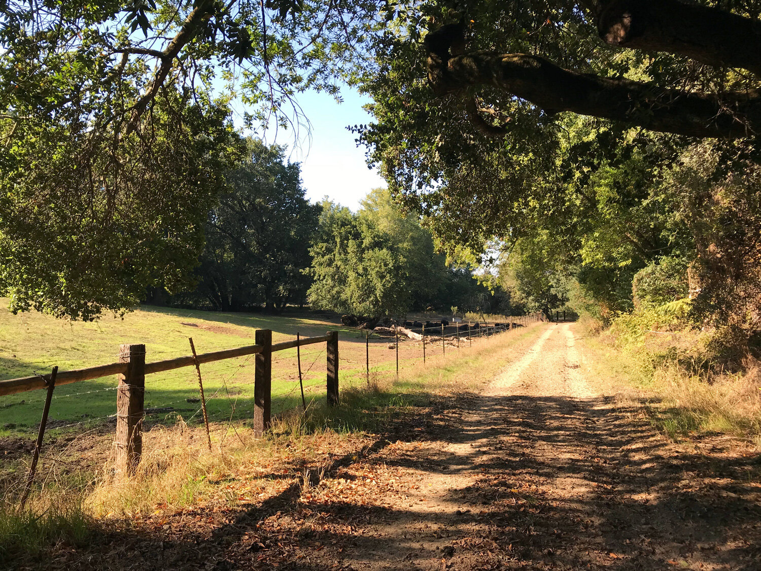
Marshall Beach Trail
After a short drive on L Ranch Road passing through an active ranch with grazing cows, you arrive at the trailhead to Marshall Beach. It’s a pleasant walk to the beach with panoramic views of Tomales Bay. The beach is a popular spot for kayakers to camp overnight and you’ll usually encounter a tent or two near the shore. Get details
McCurdy Trail
McCurdy is the most surprising trail in Point Reyes. It’s a journey to many different lands. It begins in a grassy pasture, emerges at a stand of Coast Redwood trees, transitions abruptly into an arid manzanita zone, and finally ends in a thick fir forest at the Bolinas Ridge trail. Get details
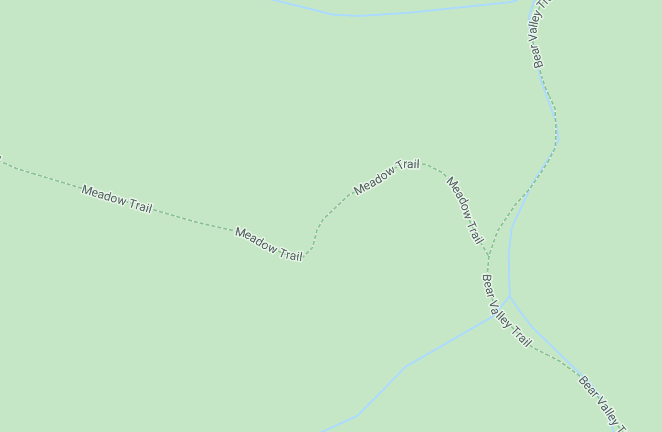
Meadow Trail
The Meadow Trail lives up to its name and features three verdant meadows. Each one is revealed as you emerge through the shaded cover of a mixed Douglas Fir, oak and bay forest. The best time to hike this trail is during the winter and spring when the meadows are green. Get details
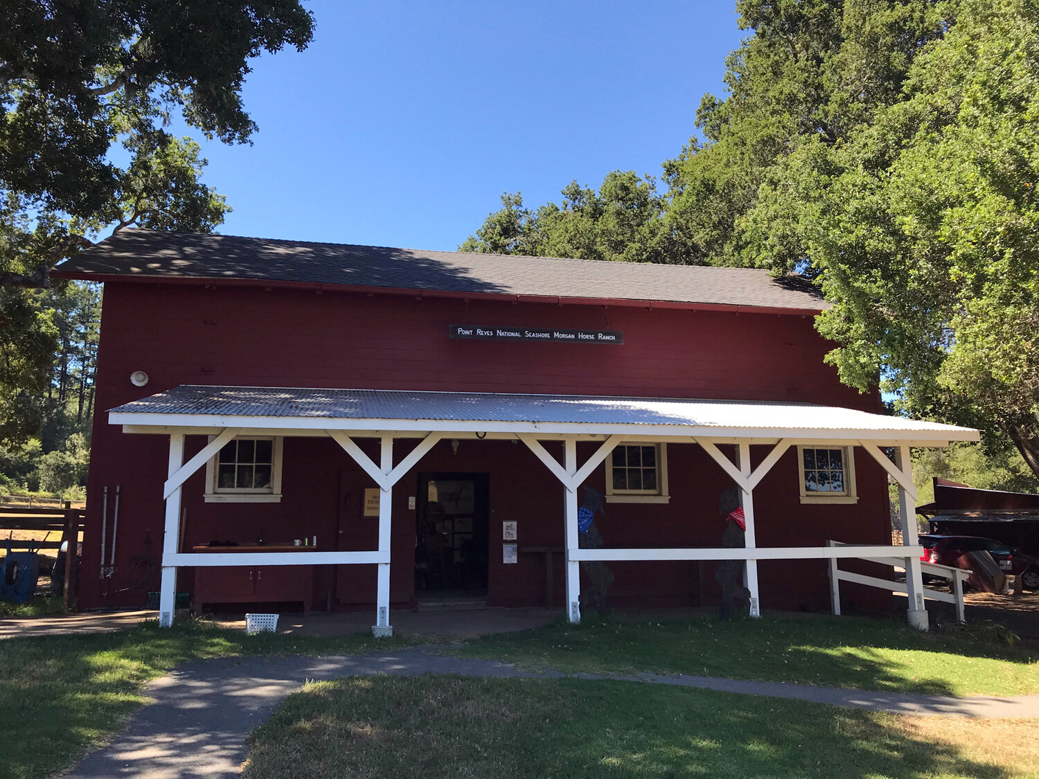
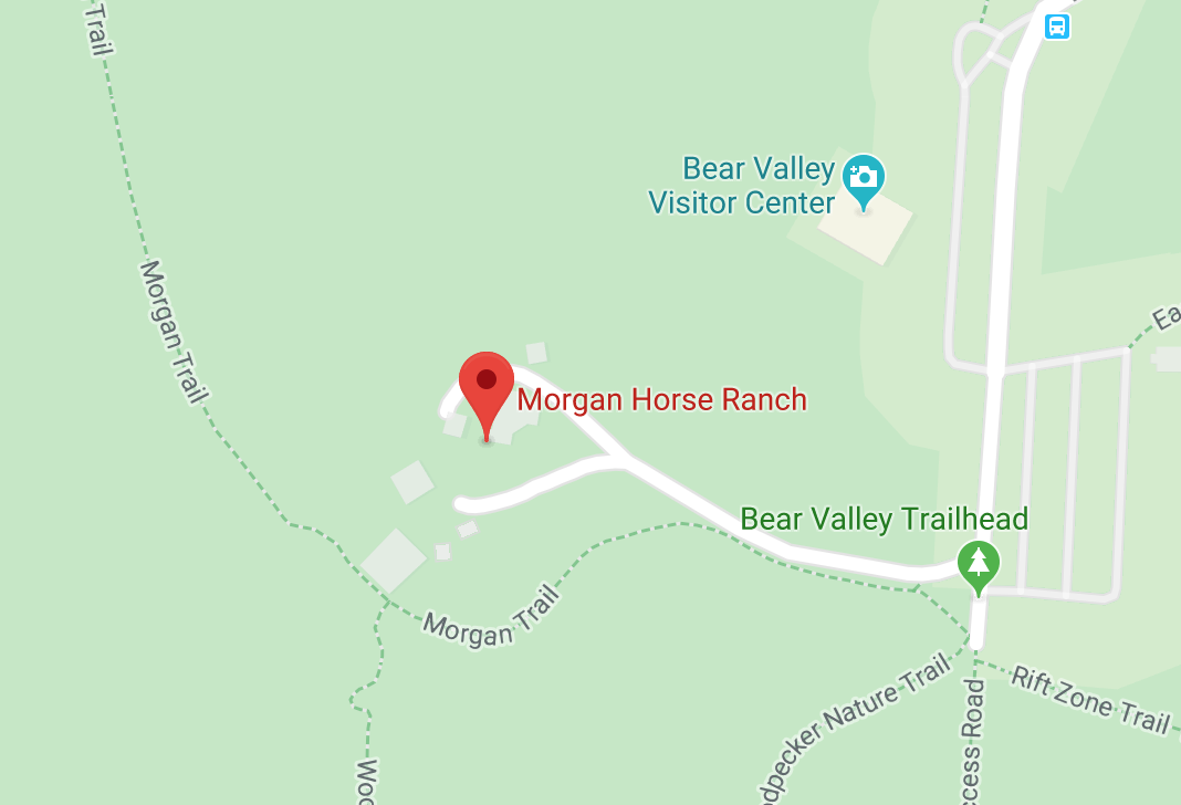
Morgan Horse Ranch and Trail
The Morgan Trail runs parallel to the paved road and behind the horse pasture. A short kid-friendly hike nearby is the Woodpecker trail which ends behind the Morgan Horse Ranch. Take some time to explore the historic Morgan Horse Ranch which is open 7 days a week. Get details
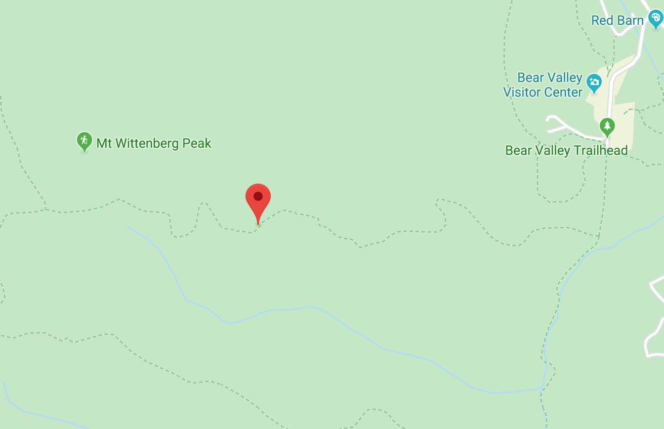
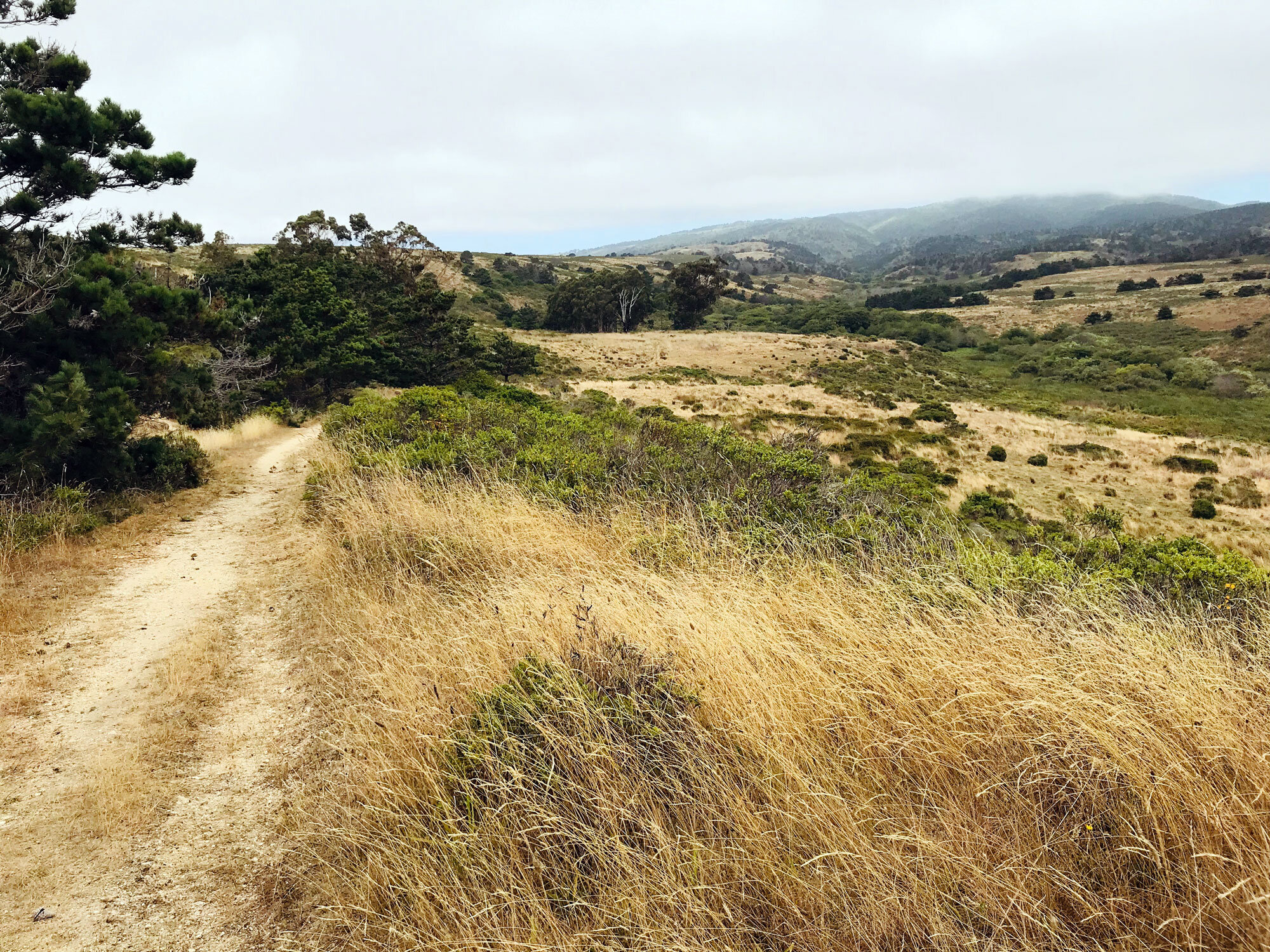
Mt. Wittenberg Trail
Mt. Wittenberg Trail is a steep ascent to the highest point on the Point Reyes peninsula at 1407 feet. The most spectacular part of the Mt Wittenberg Trail is the half mile (0.4) segment running parallel to the Sky Trail toward the Meadow Trail. It’s mostly flat with panoramic views of the ocean to Drakes Bay. Get details
Muddy Hollow Loop
Hike 7.3 miles on the Muddy Hollow Road Trail, Glenbrook Trail and Estero Trail through coastal scrub and bishop pine forest. Get details
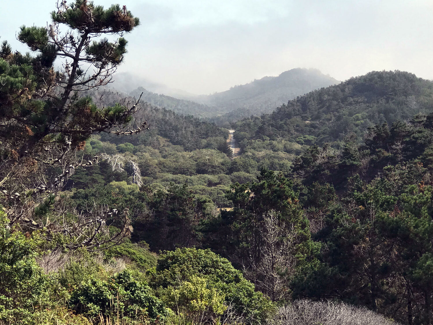

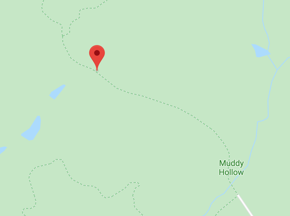
Muddy Hollow Road Trail
The Muddy Hollow Road Trail is popular with joggers and horseback riders but it’s not a crowded trail. It’s a great trail for wildflowers and wildlife spotting. There are plenty of Tule elk in the area so your chances of seeing one are good. Get details

Muddy Hollow Trail
This trail is exceptional for spotting butterflies, especially in the wet areas packed with flowering plants. You have the option of starting at the Limantour beach end of the trail or at the Muddy Hollow Trailhead end. Get details

Old Out Road Trail
The Old Out Road Trail is a short trail that runs parallel to the Stewart Trail between the Stewart Trail and Coast Trail. It’s a shady trail rich in ferns, lichens, and hanging moss. Combine it with the Alamea Trail and the Stewart Trail and Greenpicker Trail to make a loop. Get details

Old Pine Trail
Old Pine Trail runs between the Bear Valley Trail and Sky Trail starting at Divide Meadow — 1.6 miles from the Bear Valley trailhead. It’s a shady, sloped trail that can be combined with many other nearby trails to make a loop. Get details

Olema Marsh Trail
The Olema Marsh Trail is a short walk through the higher end of the marsh. It’s a perfect place to explore for insects with kids. Get details
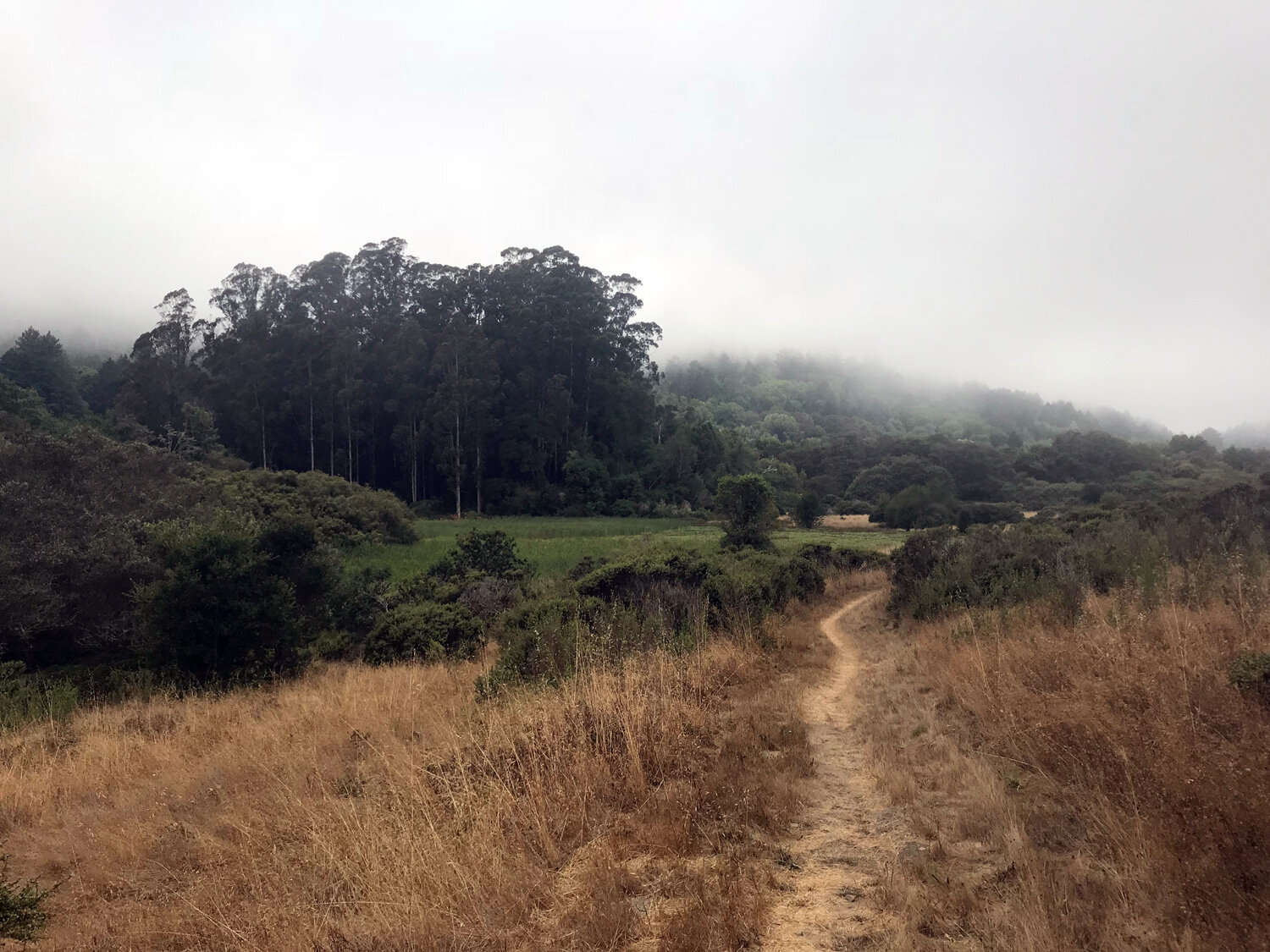
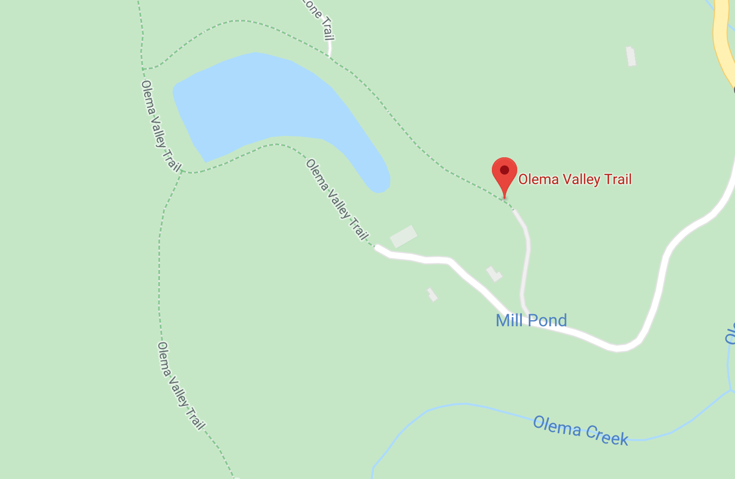
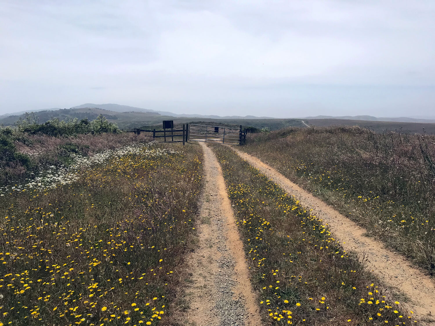
Olema Valley Trail
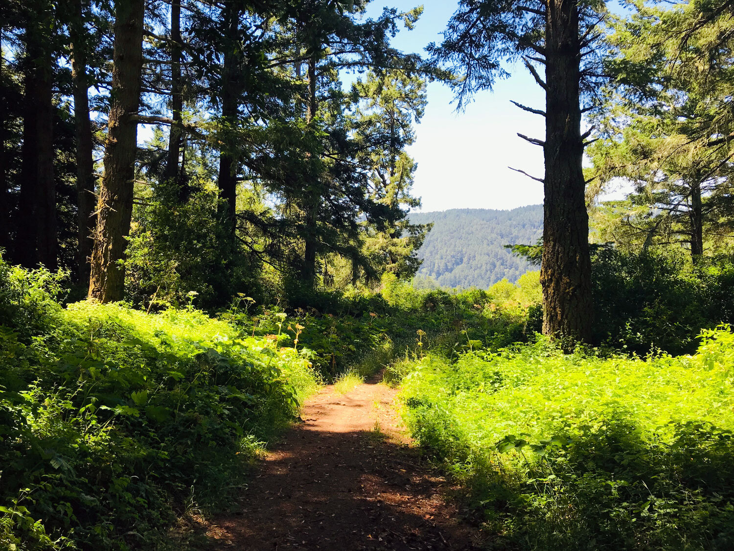
The Olema Valley Trail traces the rift zone of the San Andreas Fault through Olema Valley. The trail ascends through oak and bay forests as well as passing through flat, grassy meadows. Get details
Pablo Point Trail
There’s one reason to hike this trail — to check it off your list in your quest to hike all the trail of Point Reyes National Seashore. it’s a lonely, forgotten trail with a long entry passage choked with stinging nettles and poison oak. Get details
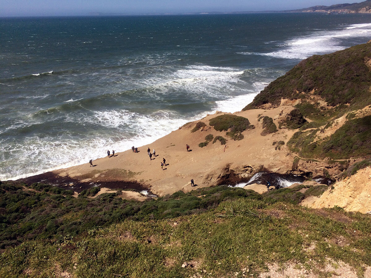
Palomarin (Coast) Trail to Alamere Falls
The Coast Trail from Palomarin to Wildcat Camp and on to Alamere Falls is one of the most beautiful hikes in the Point Reyes National Seashore. It's got everything -- ocean views, forests, lakes, beaches, and of course, a waterfall. Get details
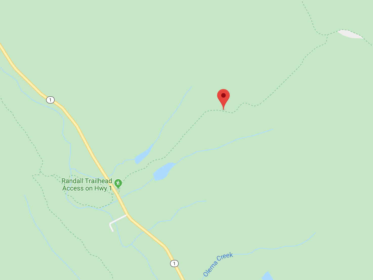
Randall Trail
The Randall Trail begins in a grassy pasture, ascends gradually through a fir and bay forest to its end at the Bolinas Ridge trail. Dogs on leash are allowed on this trail which is part of the Golden Gate National Recreation Area. Get details
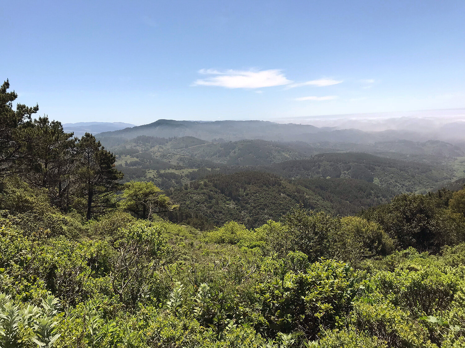
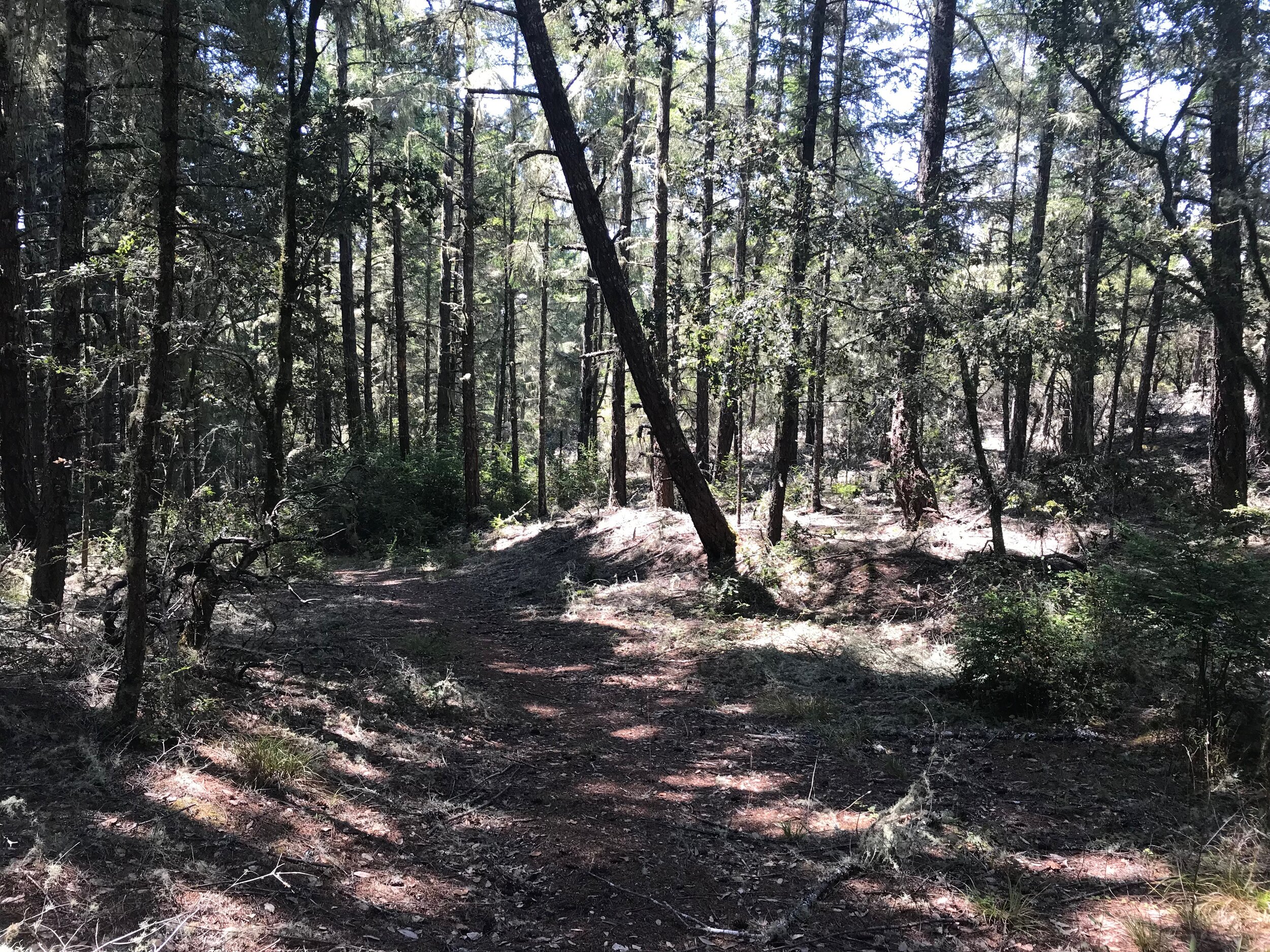
Ridge Trail
The ridge in the Ridge Trail refers to the Inverness Ridge which runs along the length of the Point Reyes Peninsula on the west side or the Pacific Plate side. This is a beautiful , albeit overgrown, trail through the trees and a great place to find mushrooms in the moist winter months. Get details
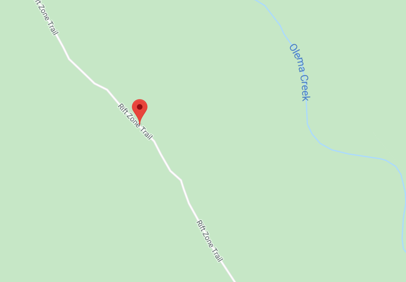
Rift Zone Trail
This is a trail to admire beautiful oaks and bays and expansive views while walking through the open pasture and meadows of Olema Valley. The Rift Zone Trail is mostly flat, traversing pasture and forest. Get details

Shafter Grade Trail
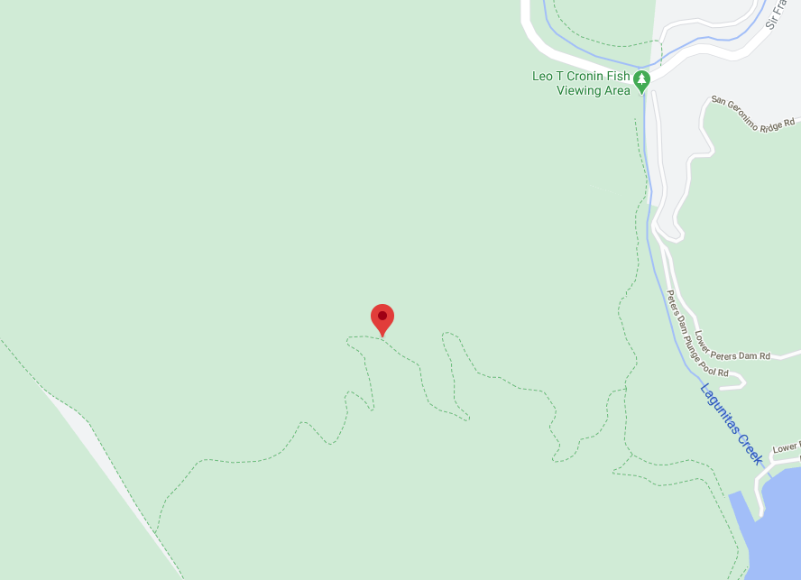
The Shafter Grade Trail is a 1.7 mile connector trail between the Bolinas Ridge Trail and the Leo T Cronin Fish Viewing Area in Lagunitas. The trail is a steep ascent through a shaded forest of second-growth redwoods, bay, oak and firs. Parking is limited to one hour so if you intend to hike/bike longer than an hour, get a friend to drop you off. Get details

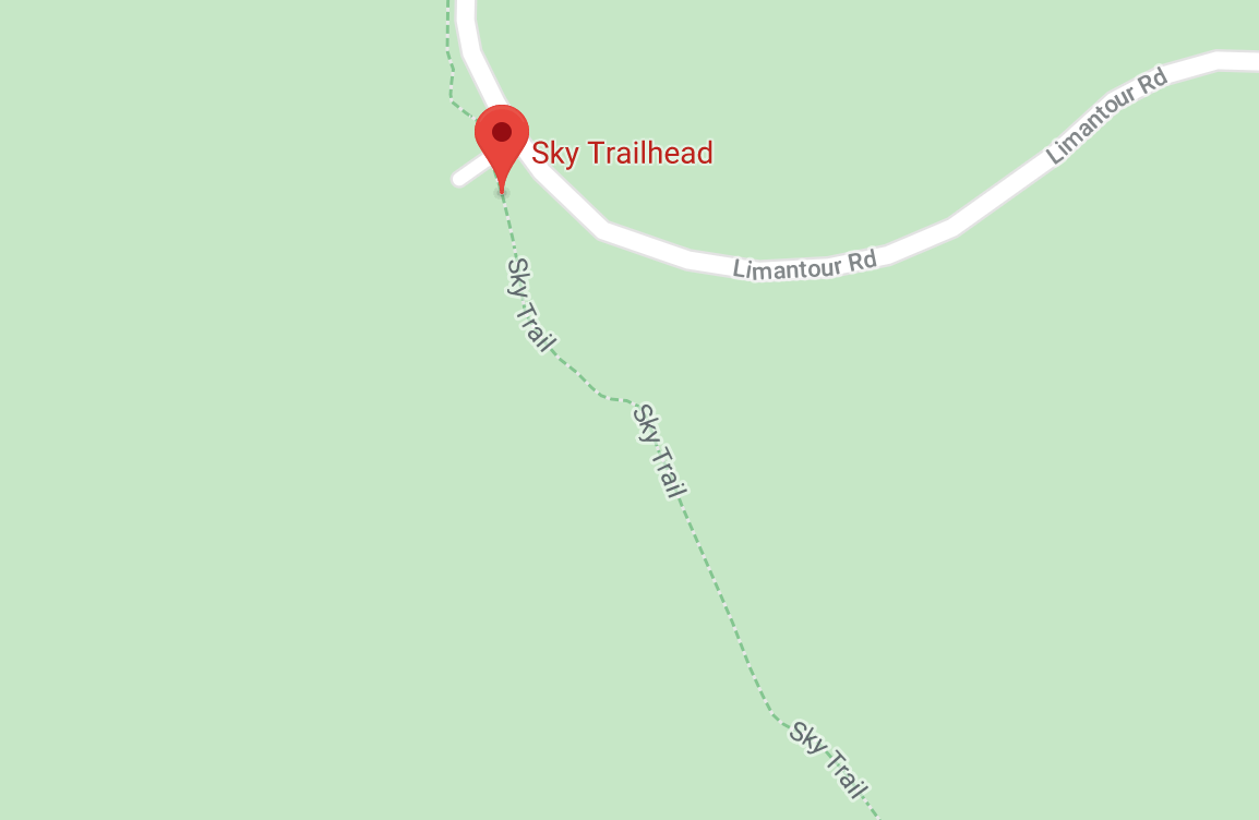
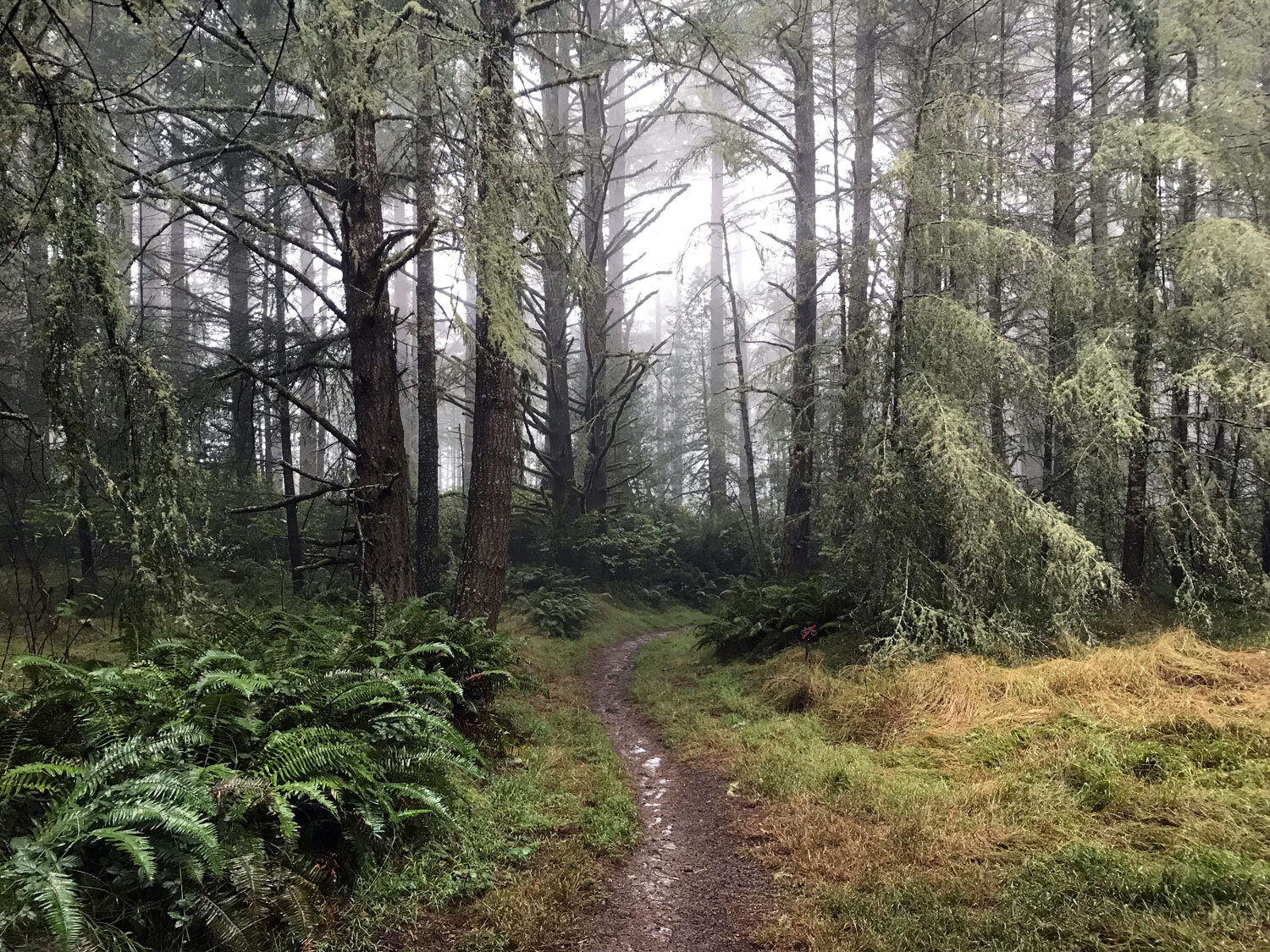
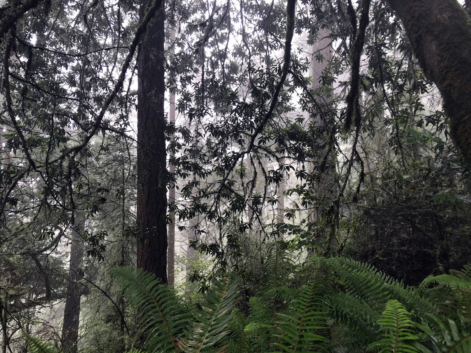
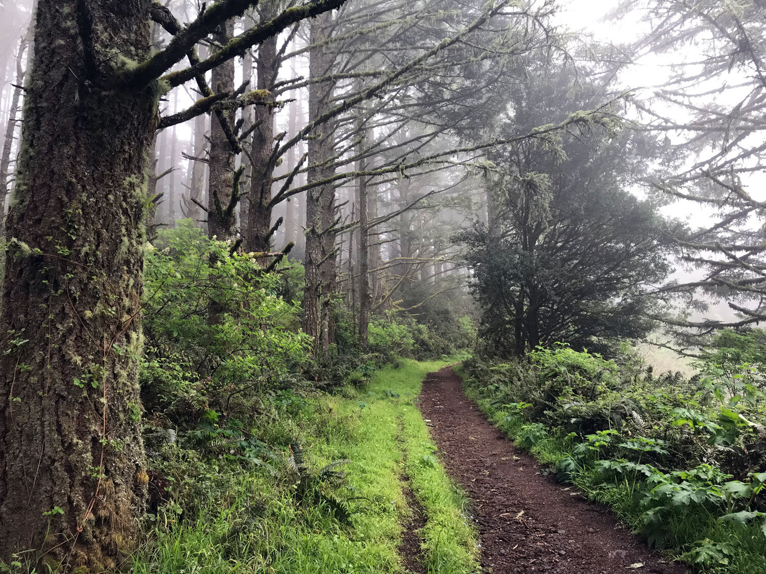
Sky Trail
Sky Trail is the misty spine of Bear Valley. It's a gorgeous, forested trail and connects with many popular trails such as Woodward Valley, Bear Valley, and the Coast Trail. On most days, you'll be treated to shrouded misty views through towering firs and bay trees, and you'll likely get wet from the dripping fog in this verdant rainforest. Get details
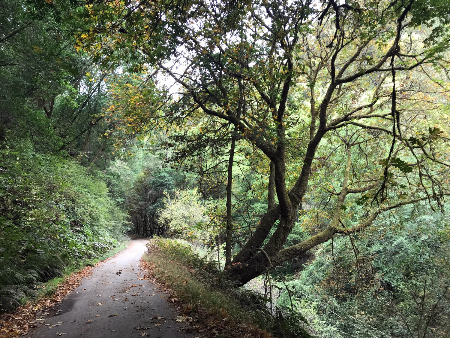
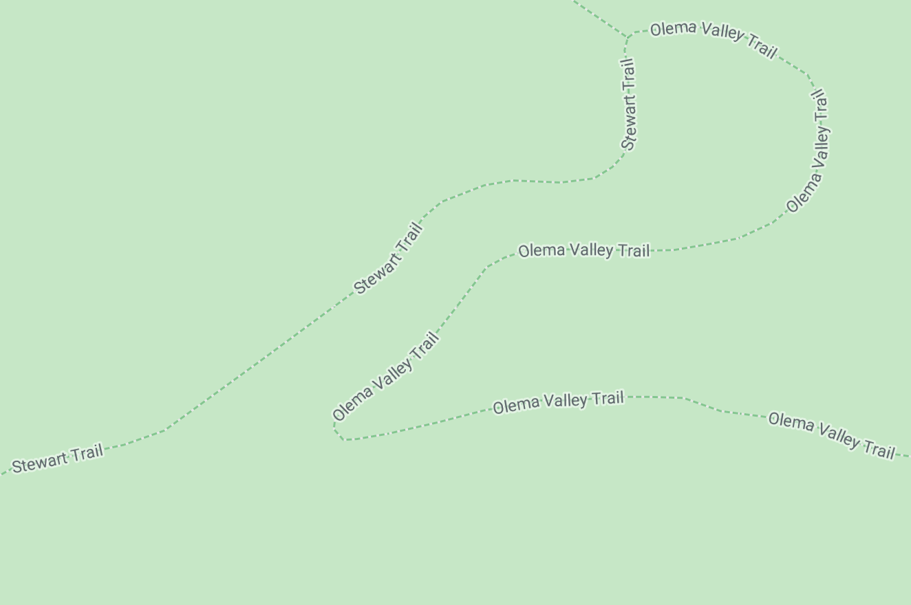
Stewart Trail
The Stewart trail, a former fire road, is a wide trail winding from Olema Valley to the ocean. It’s a steady ascent to the 1324 foot summit at Firtop peak. It’s a main artery for reaching many smaller trails such as the Greenpicker, Alamea, and Old Out Road. The trail is mostly shaded so it’s perfect on a warm day. Get details

Stewart-Greenpicker Loop
A mostly-shaded 8-mile loop on the Stewart and Greenpicker trails. Gradually ascend the Inverness Ridge to Firtop on the deep forest Greenpicker Trail and enjoy a relaxing descent on the wide gravel Stewart Trail. Watch for California Turret Spider burrows along the mossy banks, and enjoy the many birds in this area. Get details

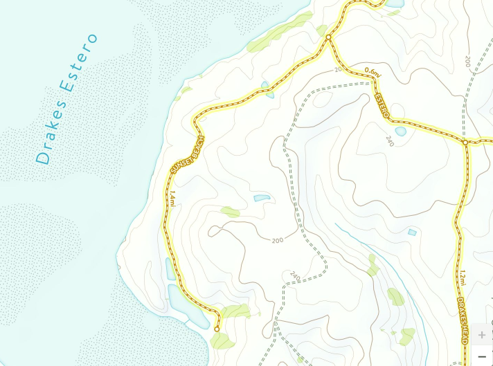
Sunset Beach Trail
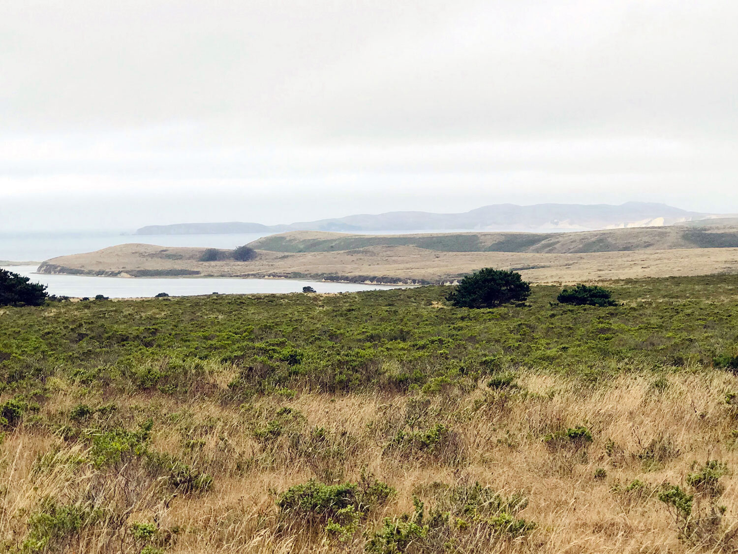
After passing the Sunset Beach Trail marker, you’ll hike for about 20 minutes with views of the Estero to the right, until your first peek of the Pacific ocean in the distance. In low tide, you can walk to the very end along the rocks. The rocks are full of personality — smooth rocks with intricate patterns of lacy holes on top and huge round rocks. At the end, where the rocks meet the water, you’ll find tide pools. You can see the protruding arm of Drakes Head overlooking the Limantour Estero to the left and the tip of Drakes Beach and Chimney Rock in the far distance to the right. Get details
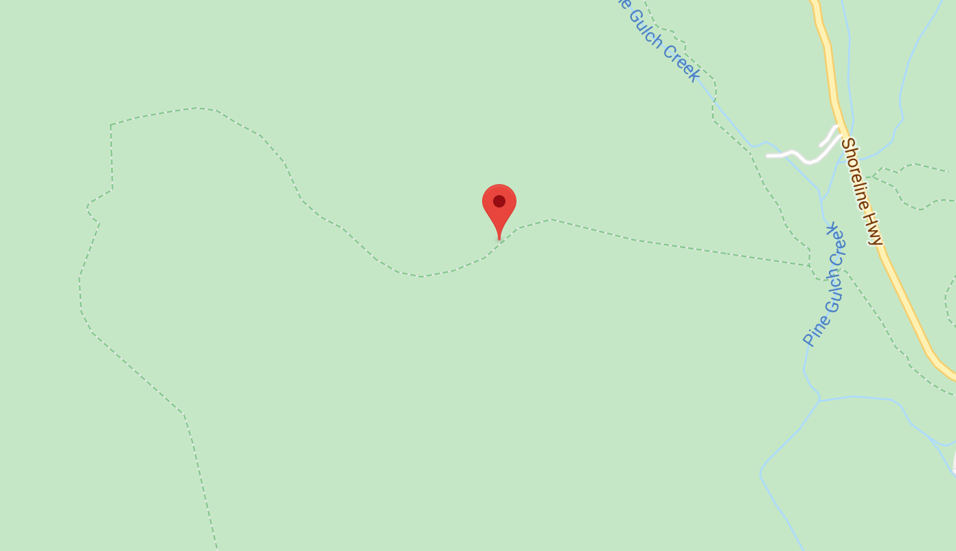
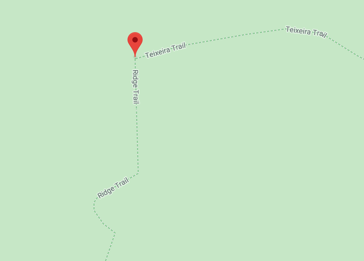
Teixeira Trail
On a typical morning, the Teixeira trail is a misty, dripping rainforest of bays and firs. It’s magical. The trail is a steady ascent with switchbacks until the trail meets Pablo Point, then it’s a more gradual or level climb. Get details
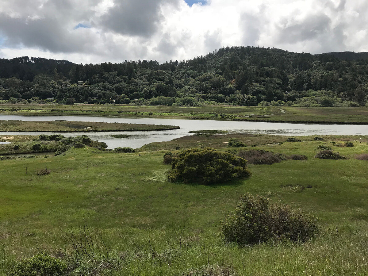
Tomales Bay Trail
Looking for a scenic trail close to Point Reyes Station? This is your trail. It's an easy hike traversing several terrains -- meadow, pond, marsh, and Tomales Bay. You'll find wildflowers and marsh plants, and plenty of birds in the fresh water ponds and bay. Another wonderful thing about this hike is its proximity to treasures of West Marin gastronomy, Heidrun Meadery, very nearby on Shoreline Hwy toward Point Reyes Station, and the delicious oysters of The Marshall Store and Hog Island in the opposite direction on Shoreline Hwy toward Marshall. Get details
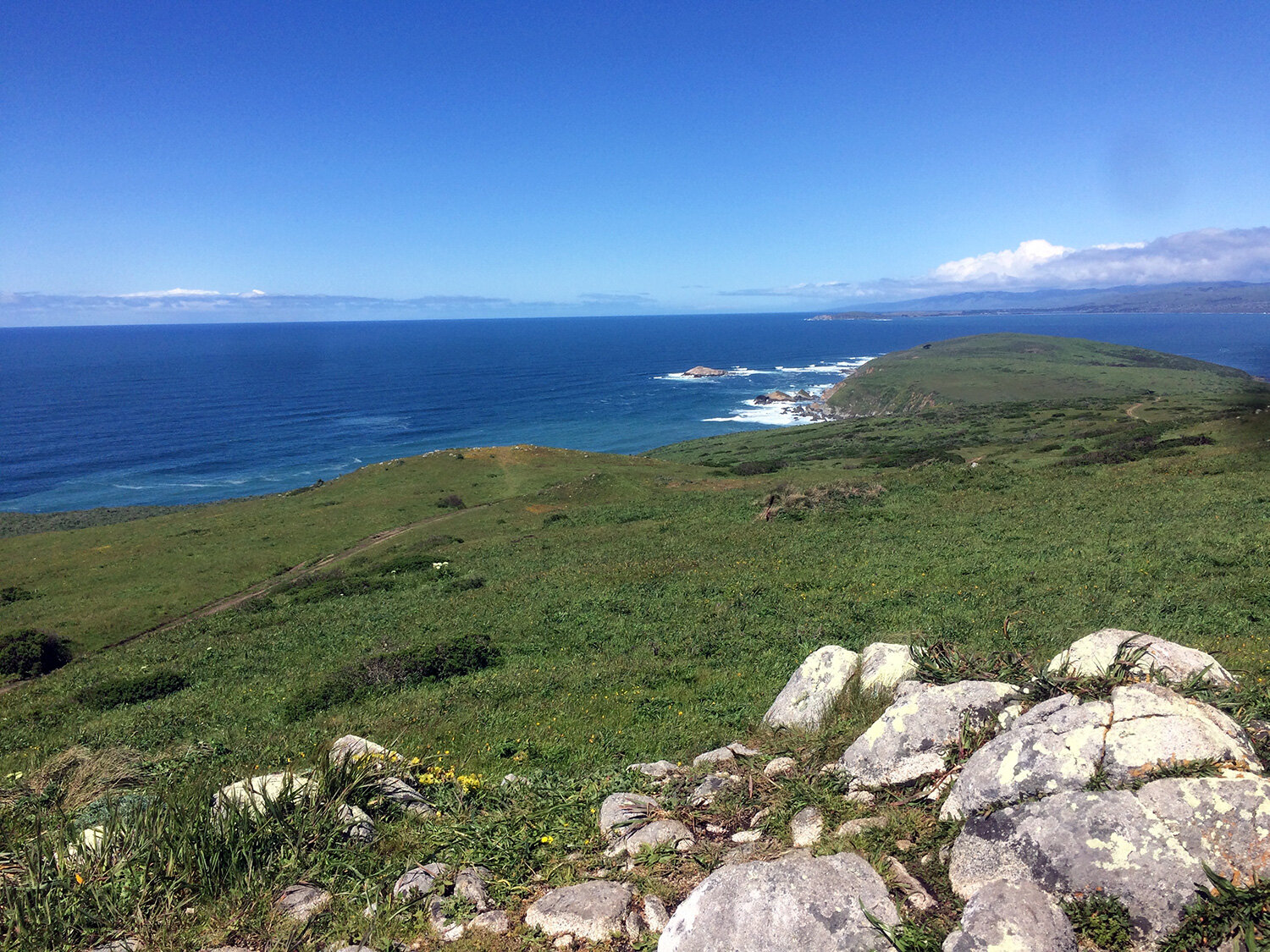

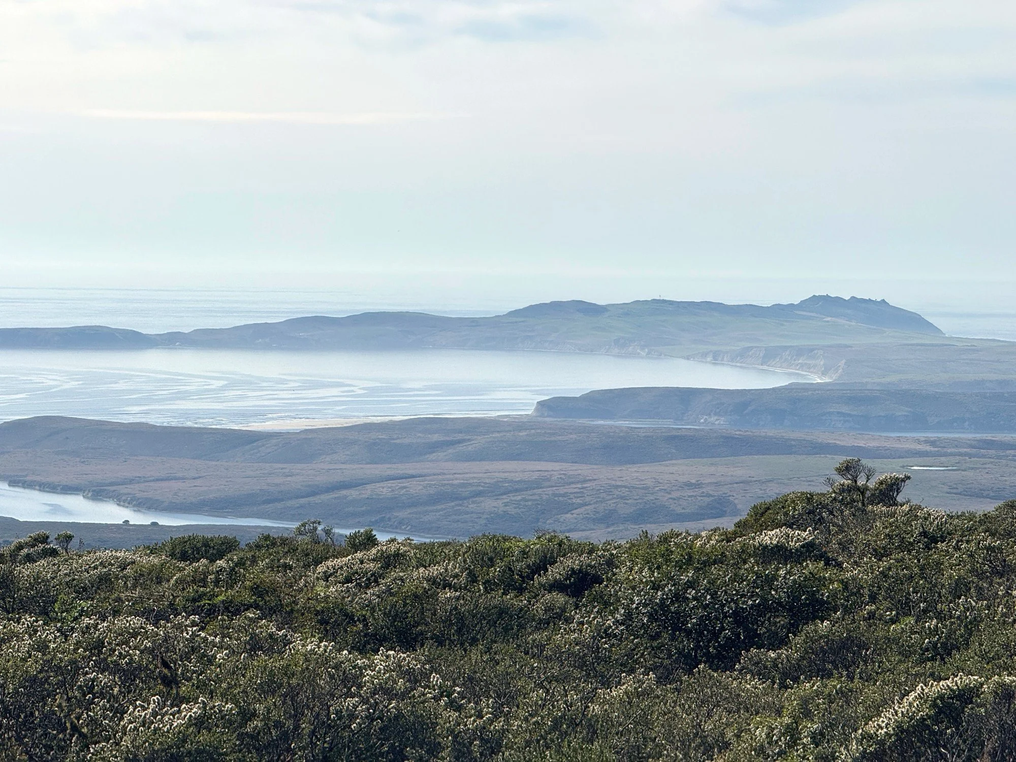
Tomales Point Trail
At the beginning of this trail, you'll see a handful of buildings remaining from the historic Pierce Point Ranch. This is a glorious trail with panoramic views of the ocean to the west and of Tomales Bay to the east. On a foggy day, you may not see the ocean but you'll hear the waves crashing against the rocks and shore. The path is completely exposed with only a few trees at the beginning and near the pond toward the end. Fortunately, it's usually cooler on Tomales Point than even a few miles inland. Dress in layers and bring a hat (one that won't blow away!) Get details
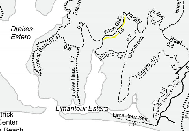
White Gate Trail
The White Gate Trail is a connector between the Muddy Hollow Road Trail and the Estero Trail, running parallel to the Glenbrook Trail. It passes several ponds and offers views of the Limantour Estero in the distance. Get details
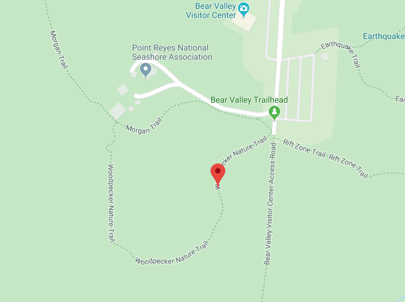
Woodpecker Trail
The Woodpecker Trail is a short loop trail through lush mixed California live oak, California bay laurel, and Douglas fir forest. The beginning of the trail is an incline to a lovely meadow area. Along the way, you’ll have panoramic views across the meadows of Bear Valley. The trail has numbered markers along the way. Stop at the Bear Valley Visitor Center for a guide or use your imagination and powers of observation to decide what the markers are highlighting. Perfect for kids. Get details
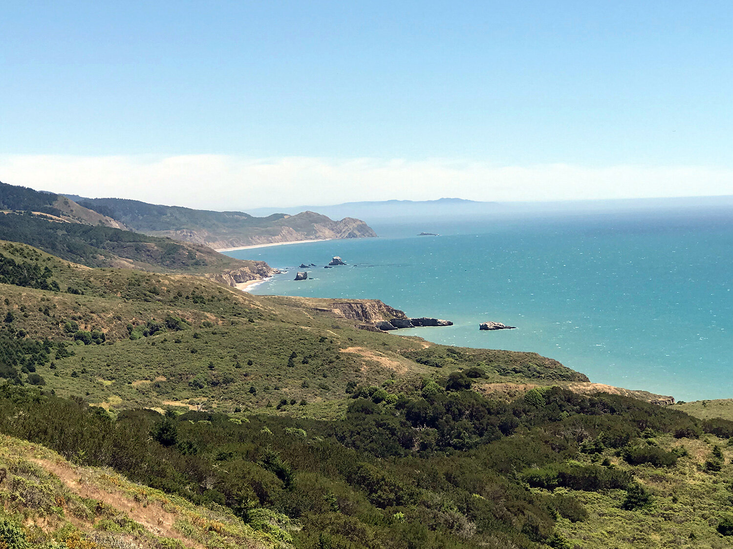
Woodward Valley Trail
Woodward Valley is not what you might think of as a valley. This hike ascends from the coast to higher elevation forests. This trail offers stunning views of the Point Reyes coast from Double Point in the south to Chimney Rock and Drakes Beach in the north. The forested portion of the trail is beautiful. Get details
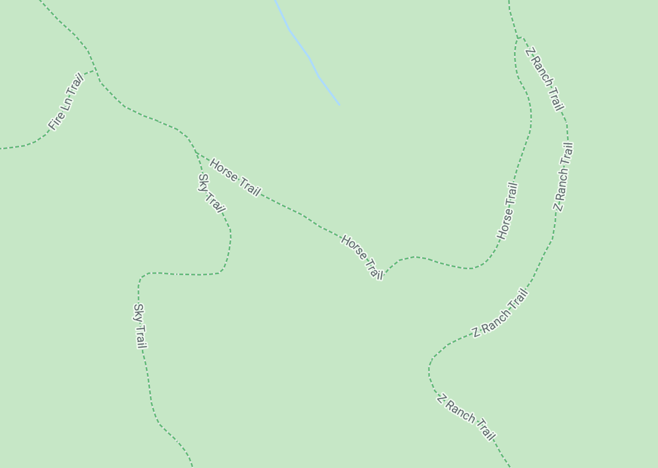
Z Ranch Trail
The Z Ranch Trail runs parallel to the Sky Trail between the Horse Trail and the Mt. Wittenberg Trail. It’s a lovely, shaded trail with a mostly level fir-lined path. Get details