
Drakes Head Trail

Trail length: 9.6 miles, out and back
Terrain: Grasses, coastal scrub, creek, marsh, estuary
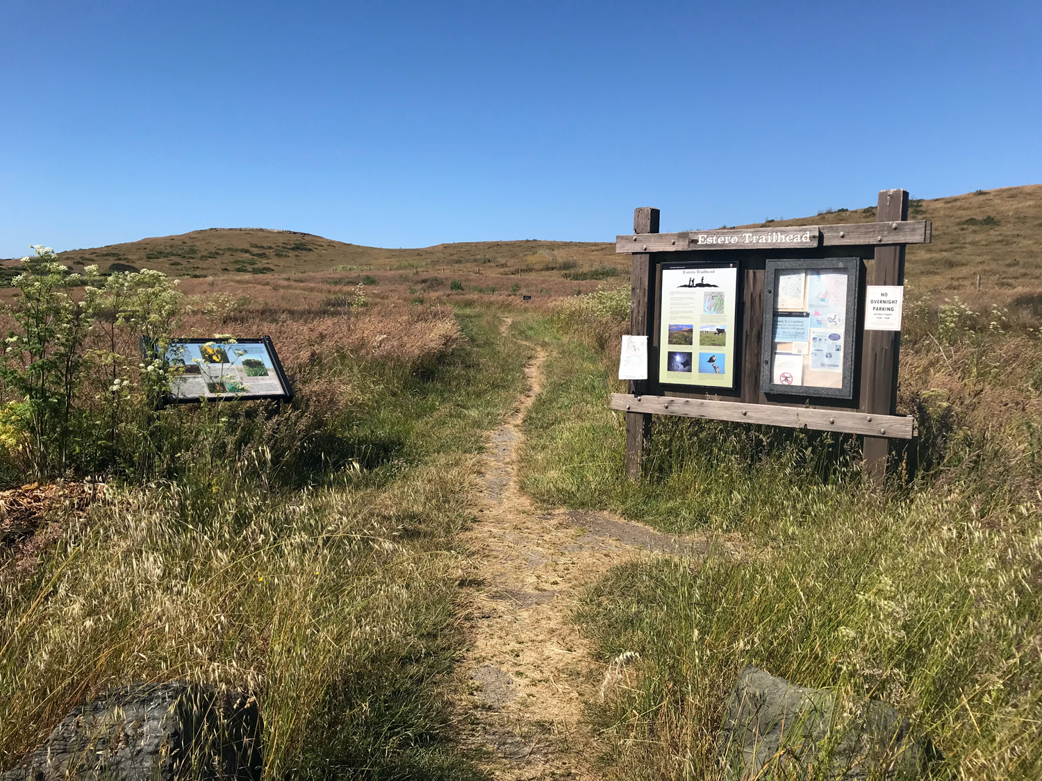
Restroom? Yes, at Estero Trailhead
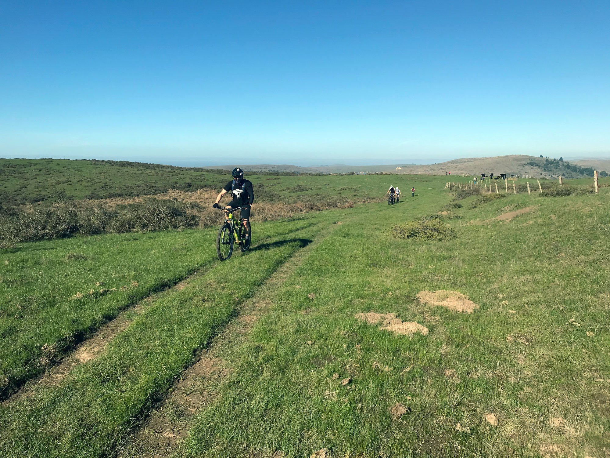
Bikes allowed? Yes
Parking: gravel lot at Estero Trailhead
Dates visited: 6/30/18, 1/17/21
Estero trail plant list and Point Reyes marsh plants visual guide from the Marin chapter of the California Native Plant Society
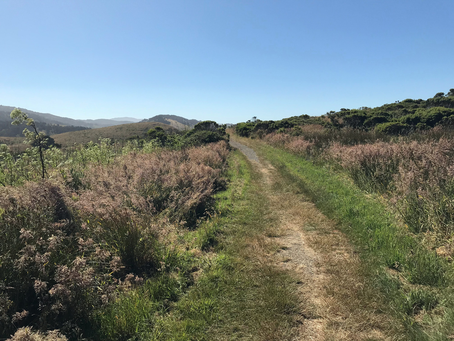
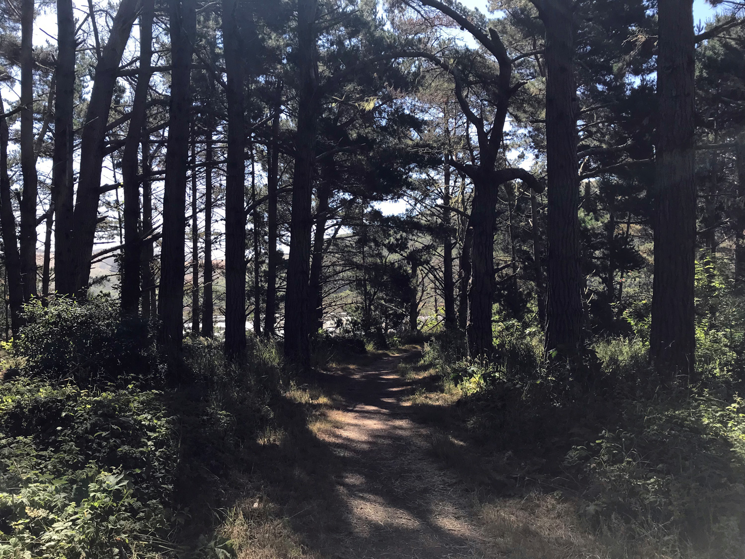
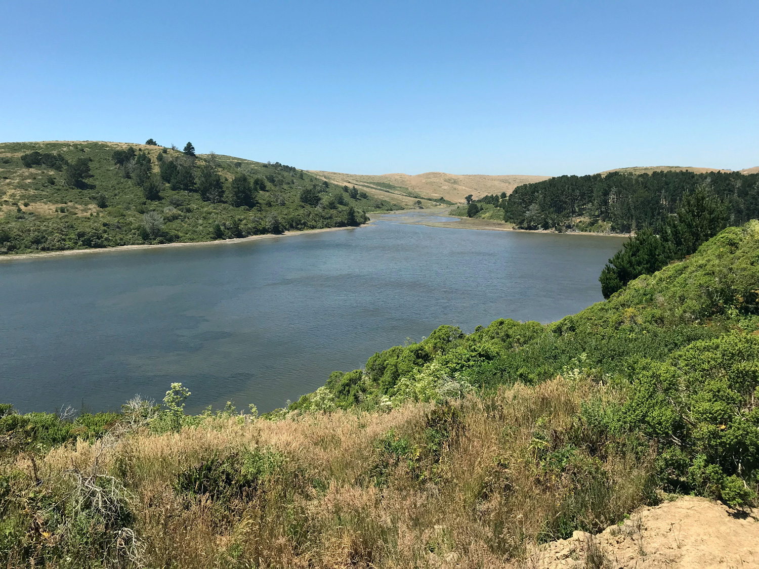
Stunning views of Drakes Estero, Limantour Estero, and the Pacific Ocean. Walk or bike along a wide path with views overlooking the water. Cross a vast pasture to reach the end of the trail high atop Drakes Head. Abundant shorebirds, song birds, and raptors. Except for a small forested area, the trail is completely exposed to the sun.
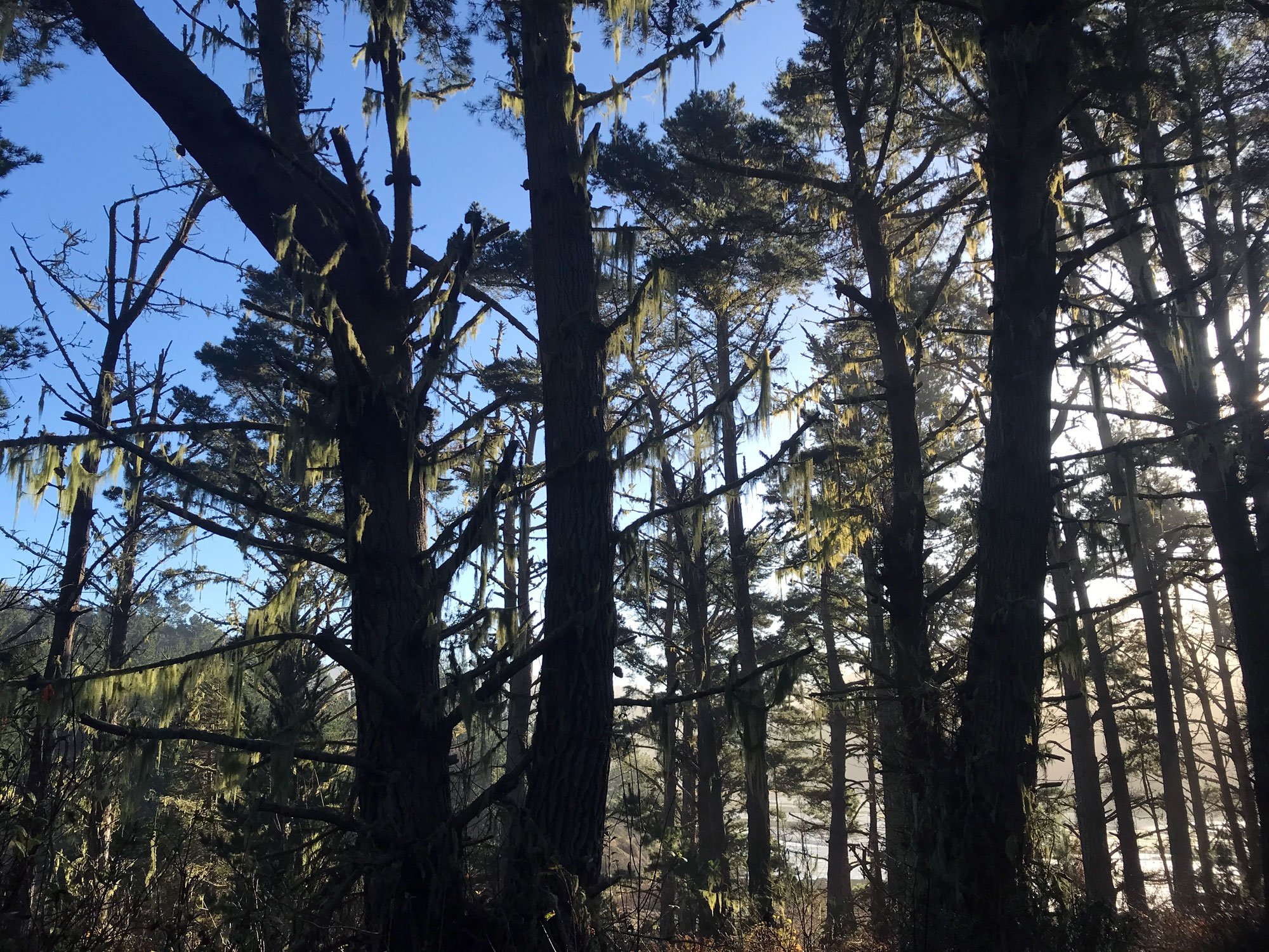
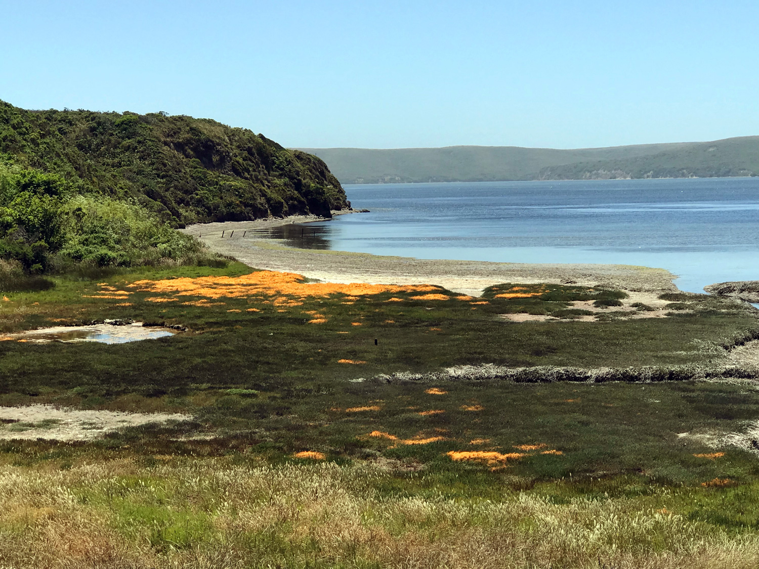
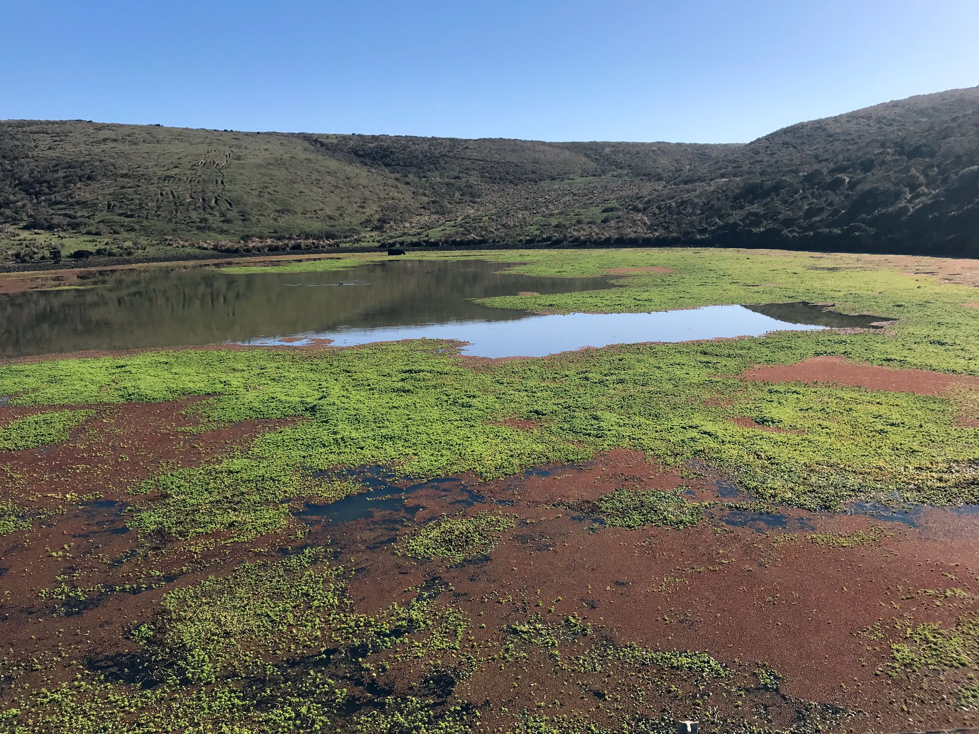
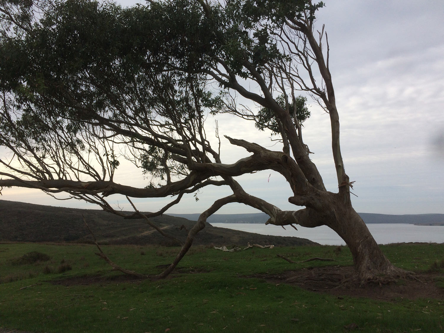
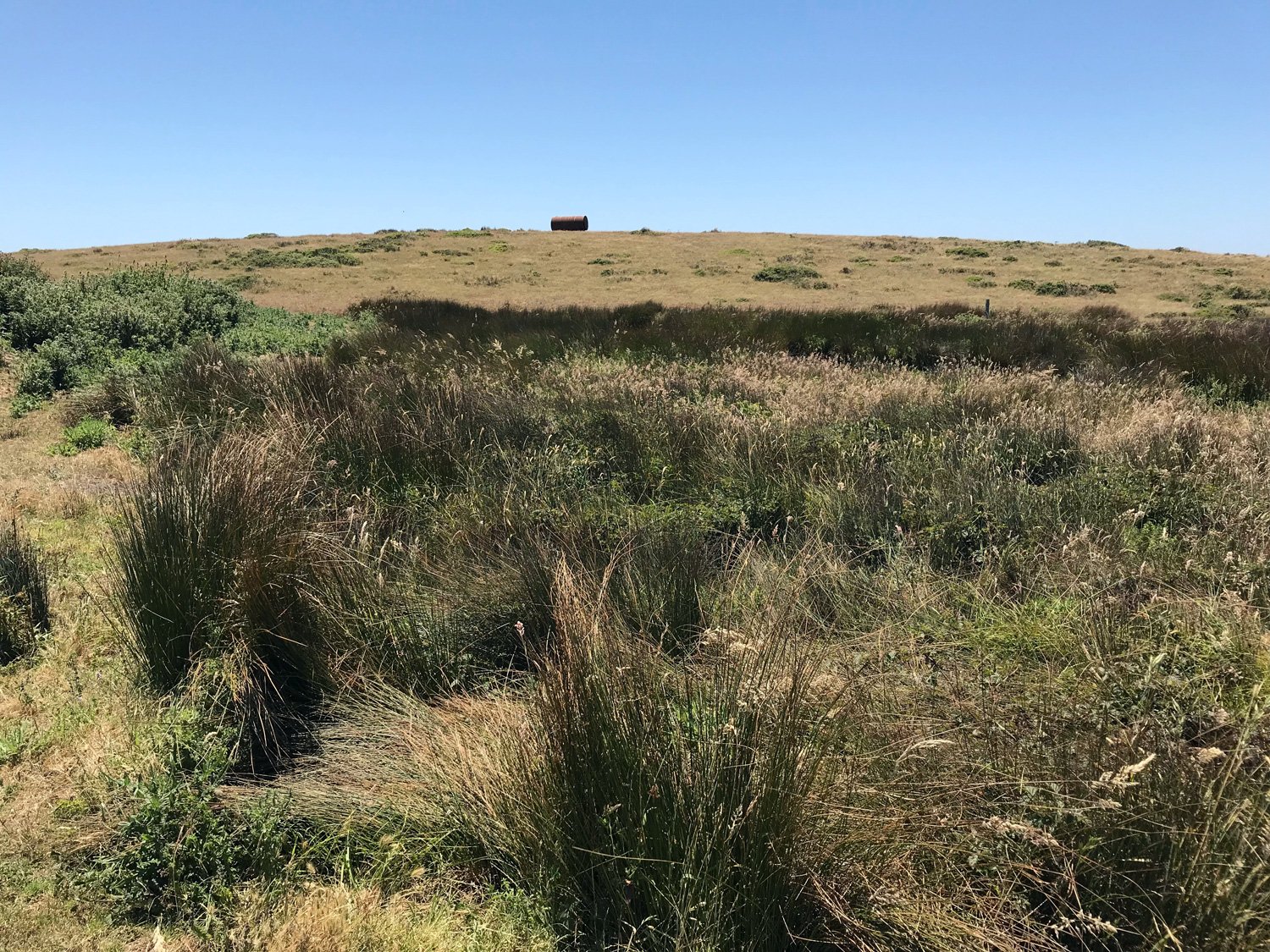
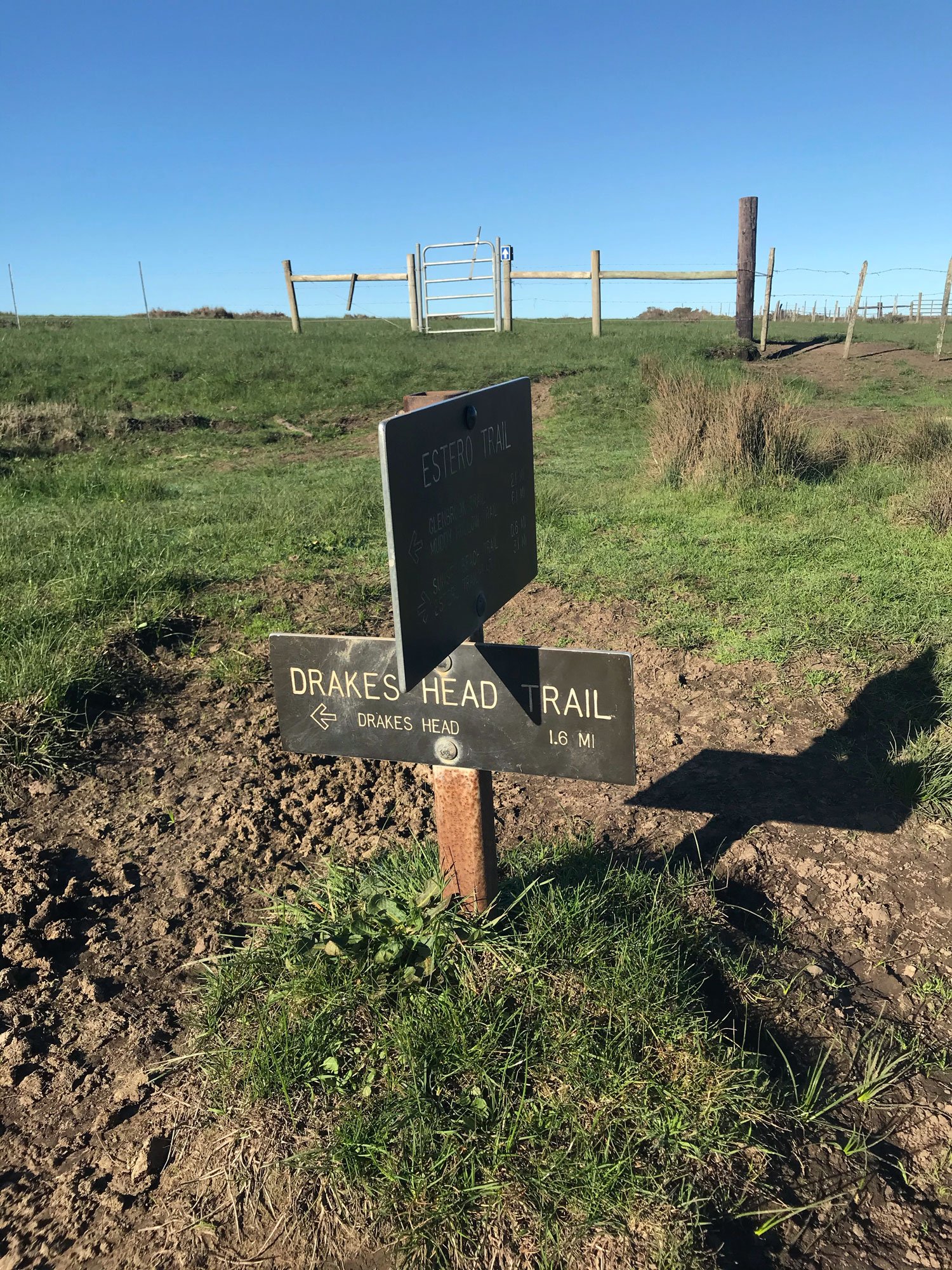
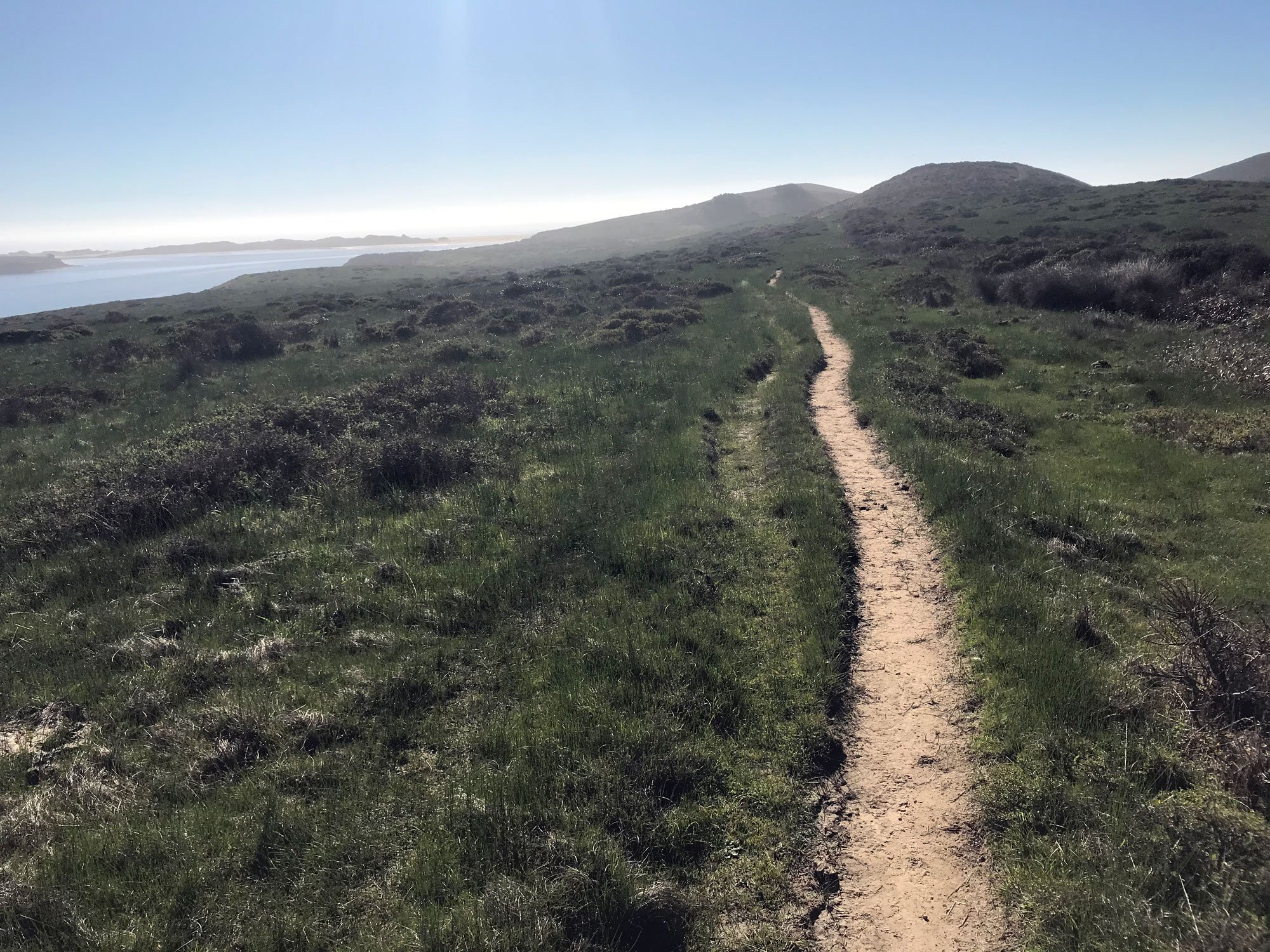
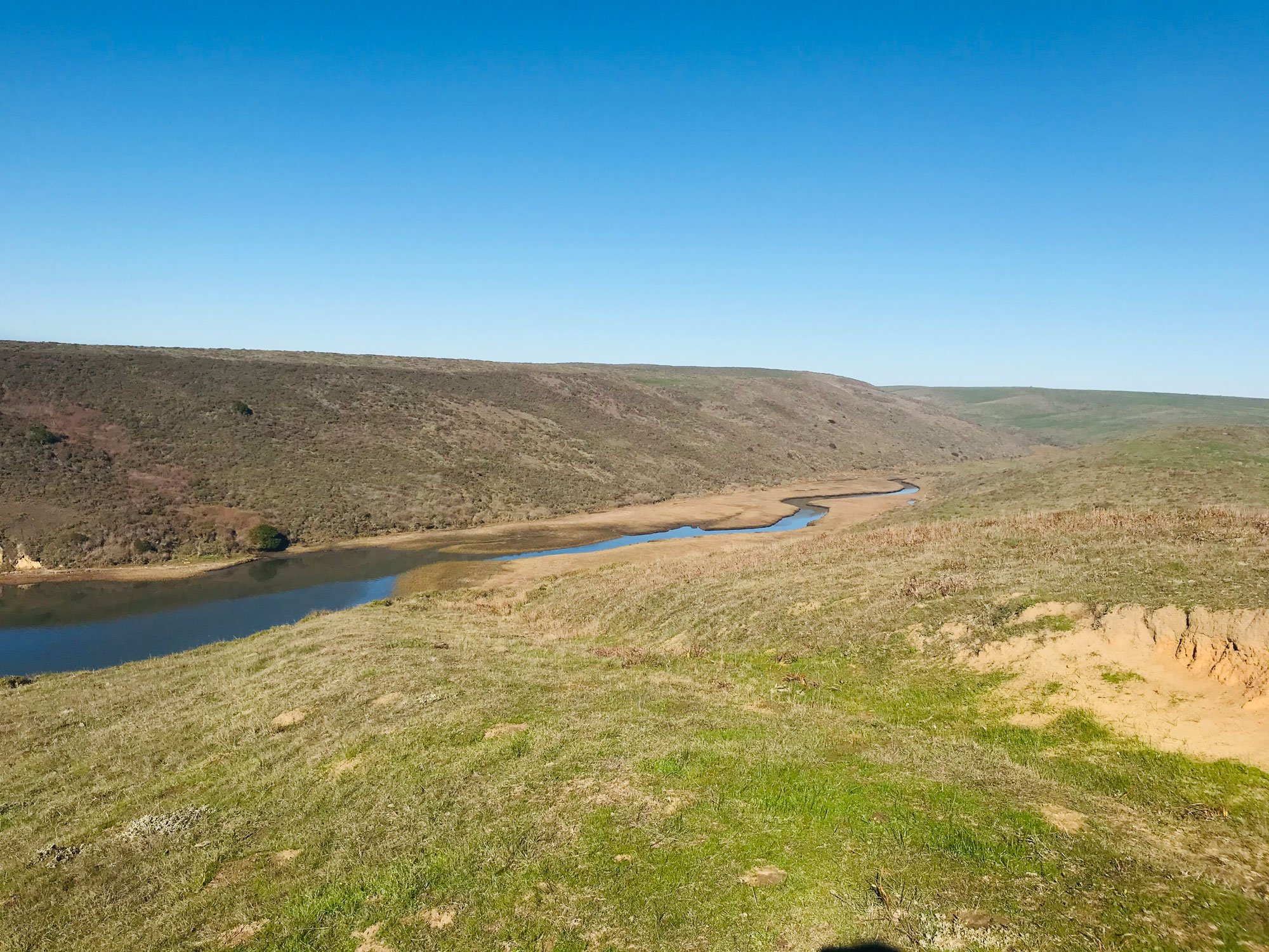
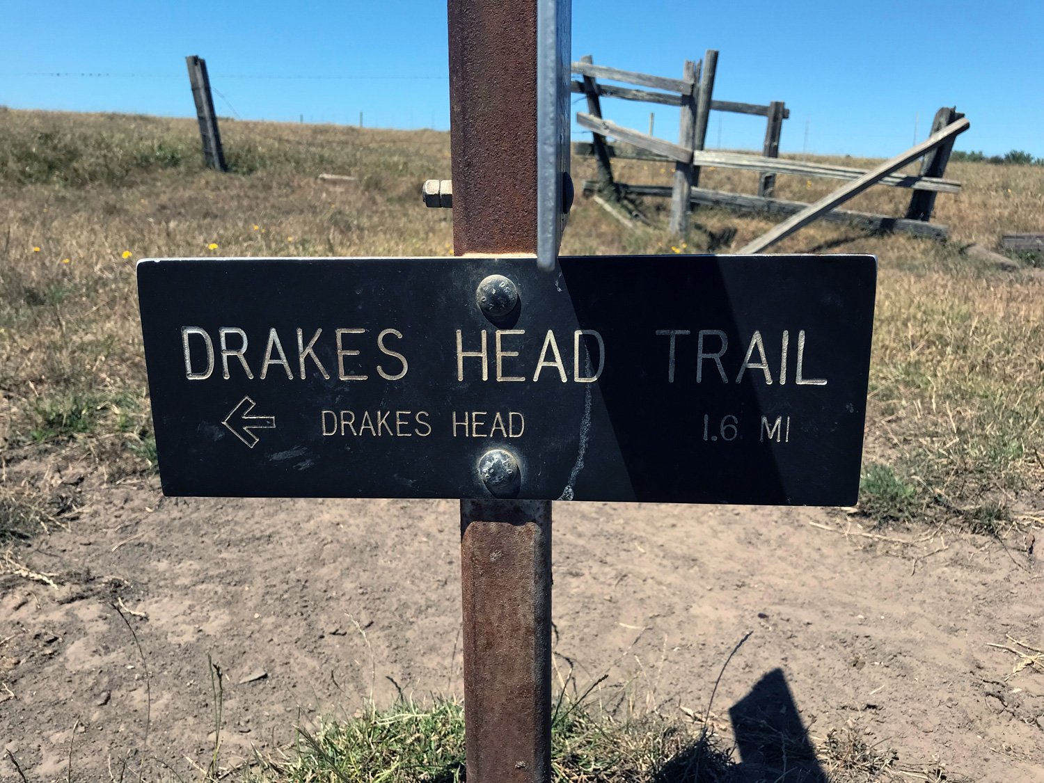
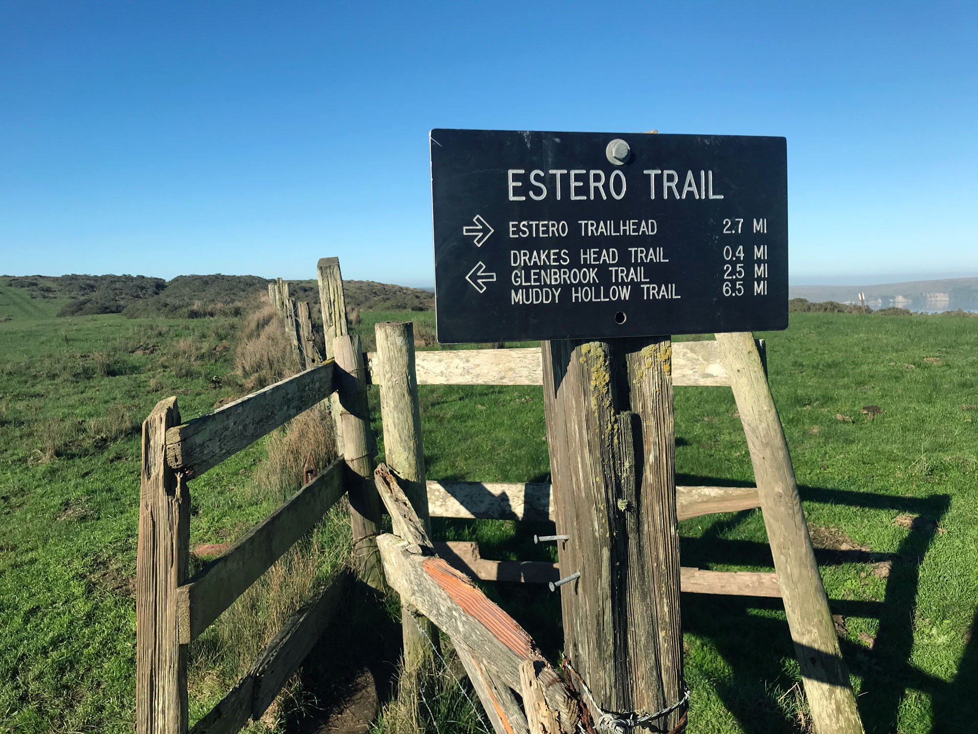
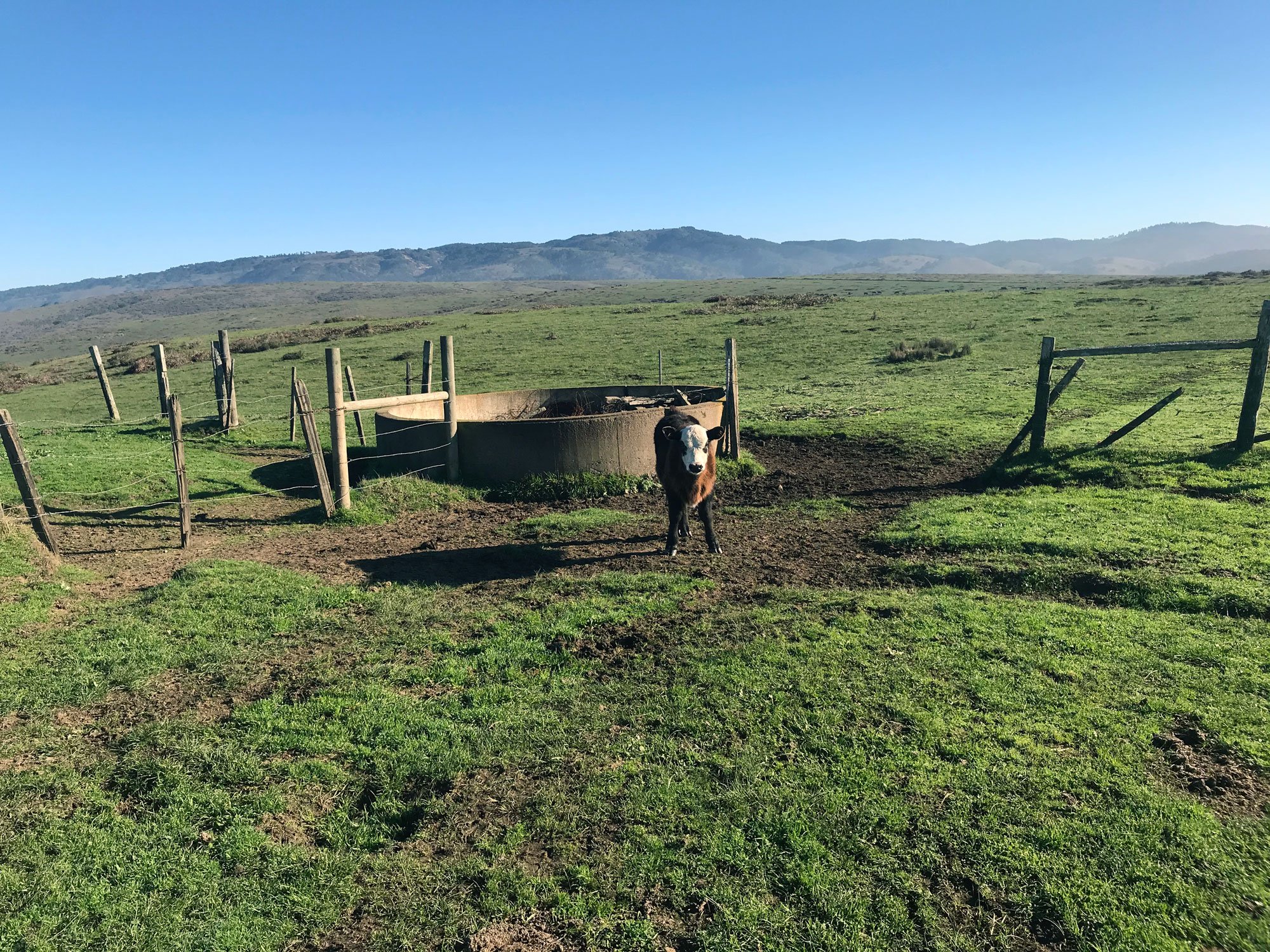
Starting at the Estero Trailhead, walk across a pasture and continue through the remains of a Christmas tree farm into a small forest. Cross Drakes Estero along a raised path with a bridge. You will pass through several cow gates and encounter cattle wading and grazing in ponds. At 2.5 miles, you'll come to a split with the Sunset Beach Trail straight ahead and the Drakes Head Trail and White Gate Trail to the left. Continue for 0.6 miles toward the Drakes Head Trail.
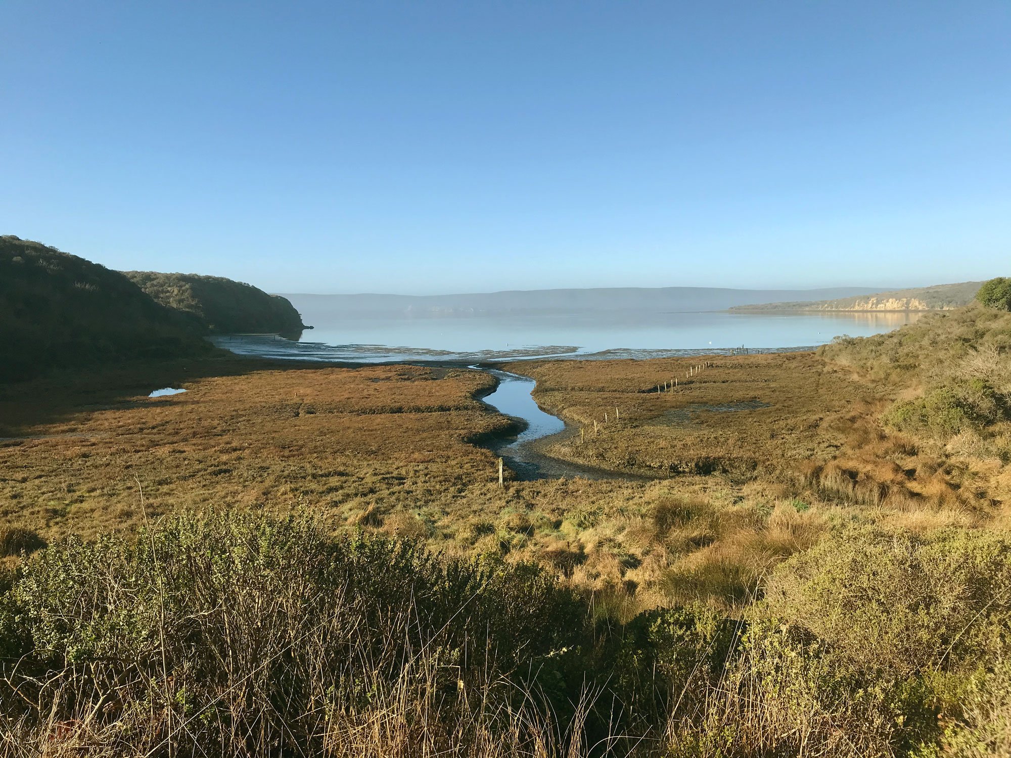
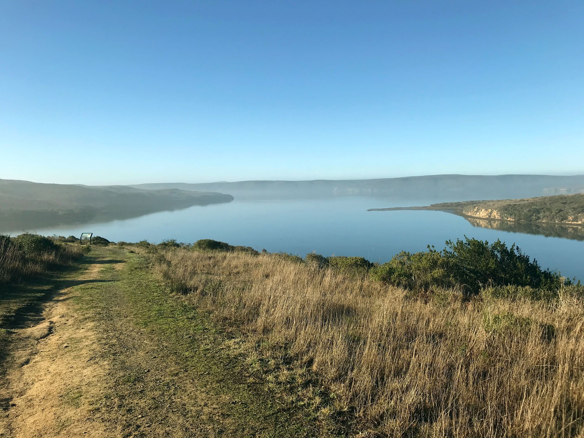
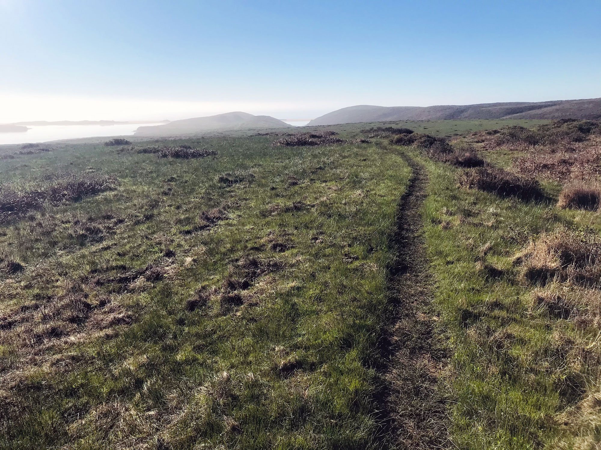
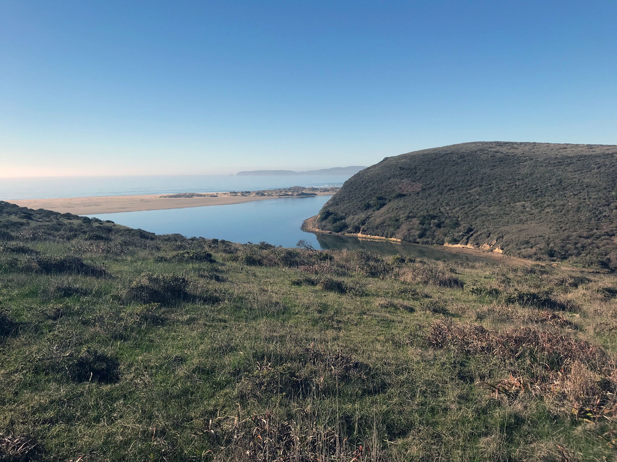
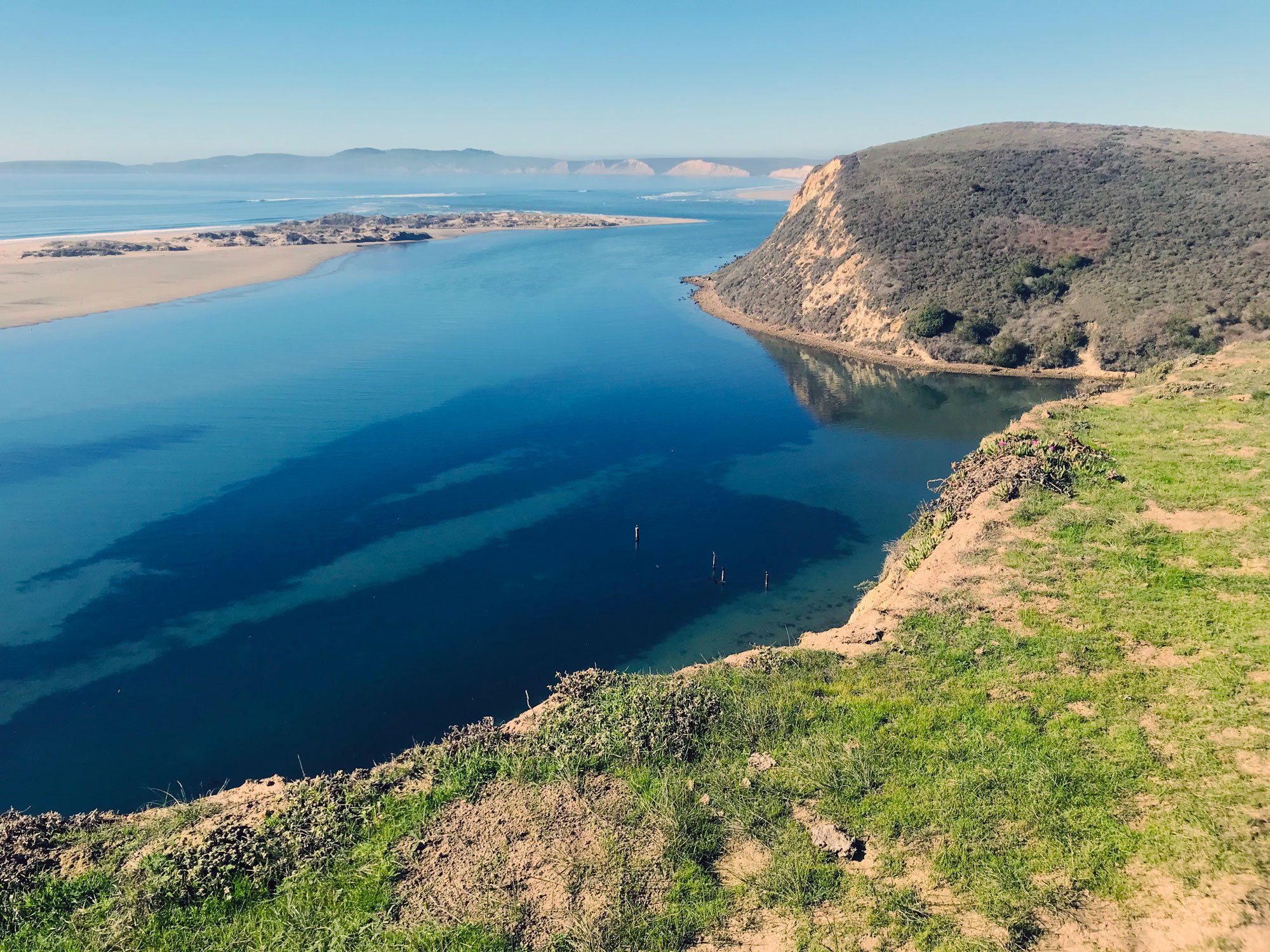
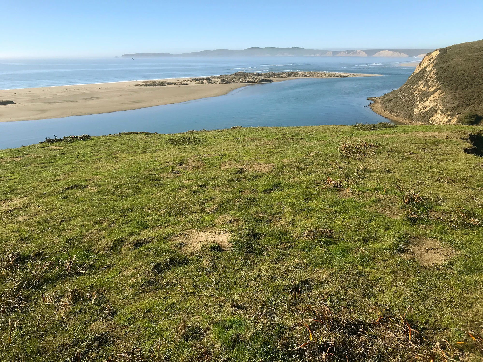
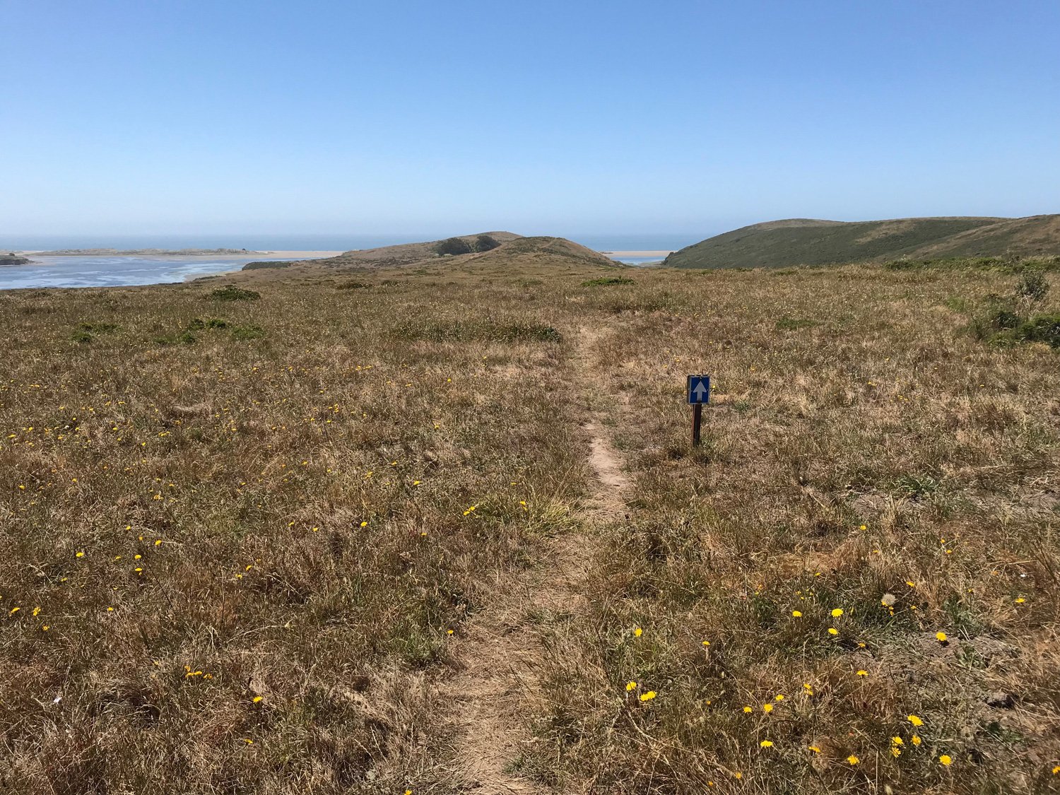
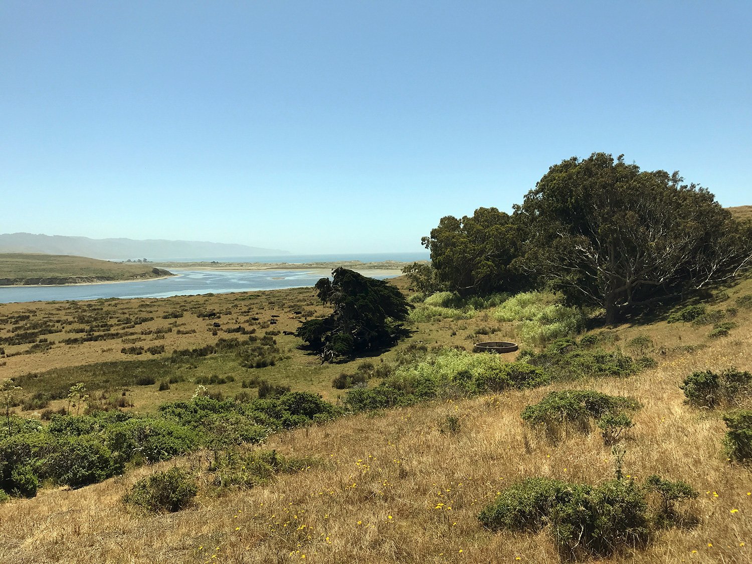
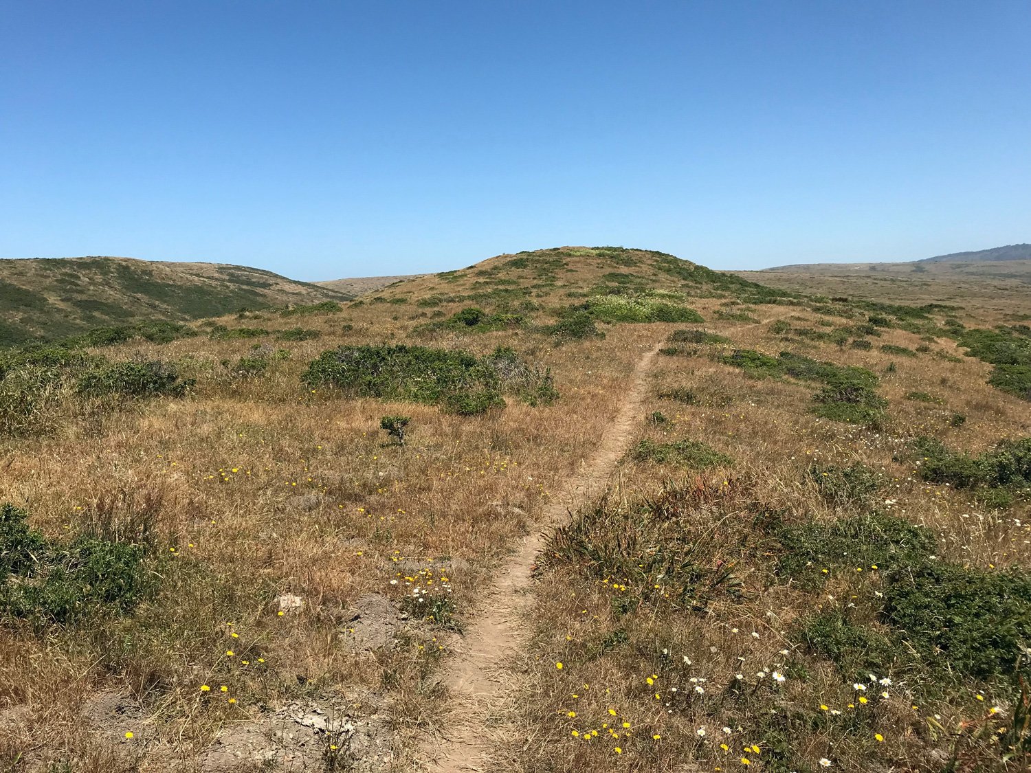
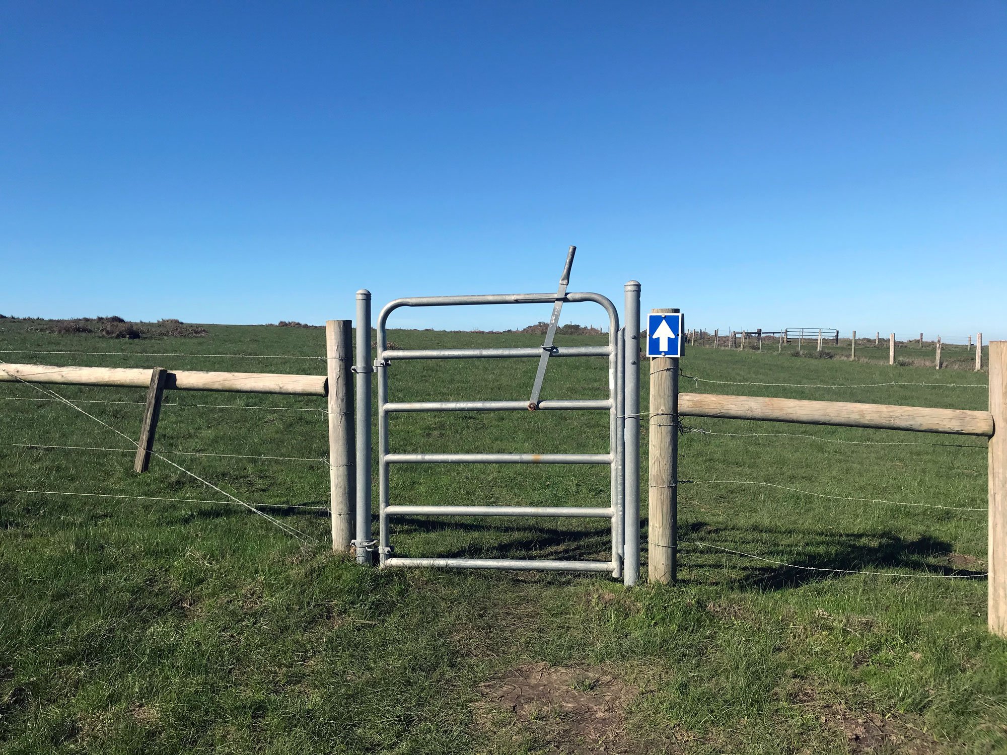
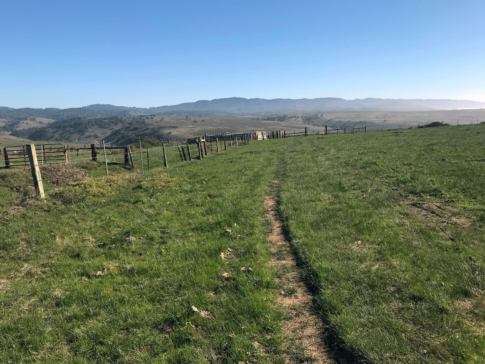
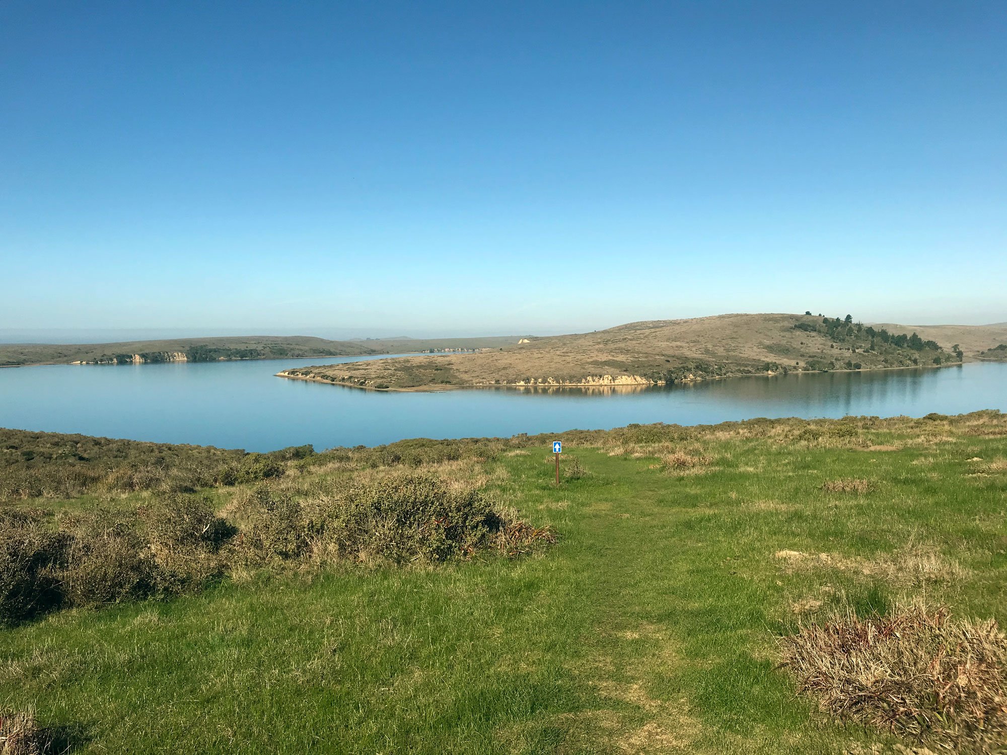
Where the Drakes Head Trail splits from the Estero Trail is easy to miss. The trail marker is low to the ground and just beyond a gated fence. Go right on the Drakes Head Trail and pay attention for blue arrow signs that mark the path. The signs are necessary since the trail is faintly marked and the many cow paths are easily mistaken for the trail. You are following the edge of the Limantour Estero on your left so it's unlikely you will get completely lost. Drakes Head Trail ends on a wide hillside cliff overlooking the meeting place of Limantour Estero, Drakes Estero and Drakes Bay.
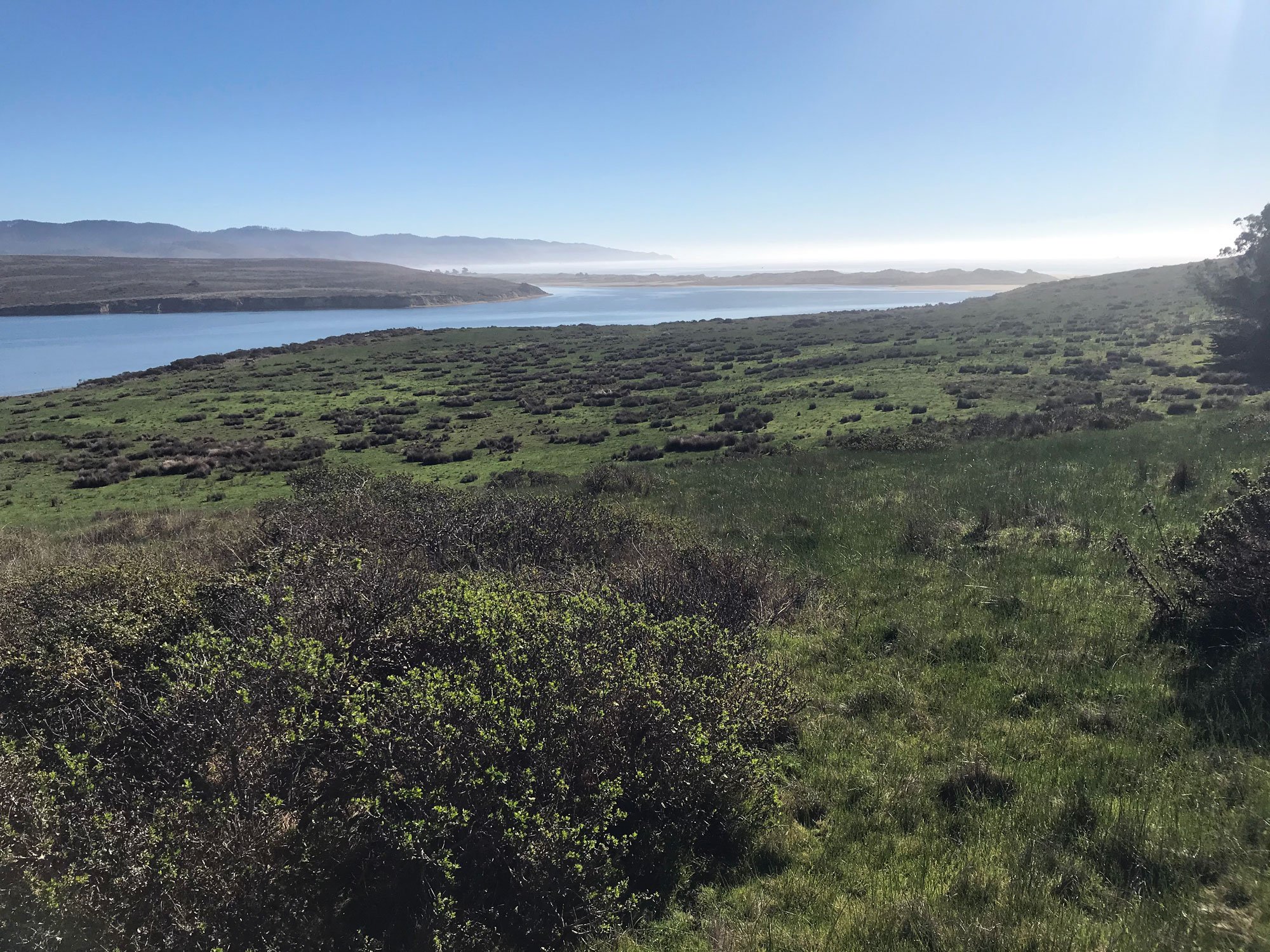
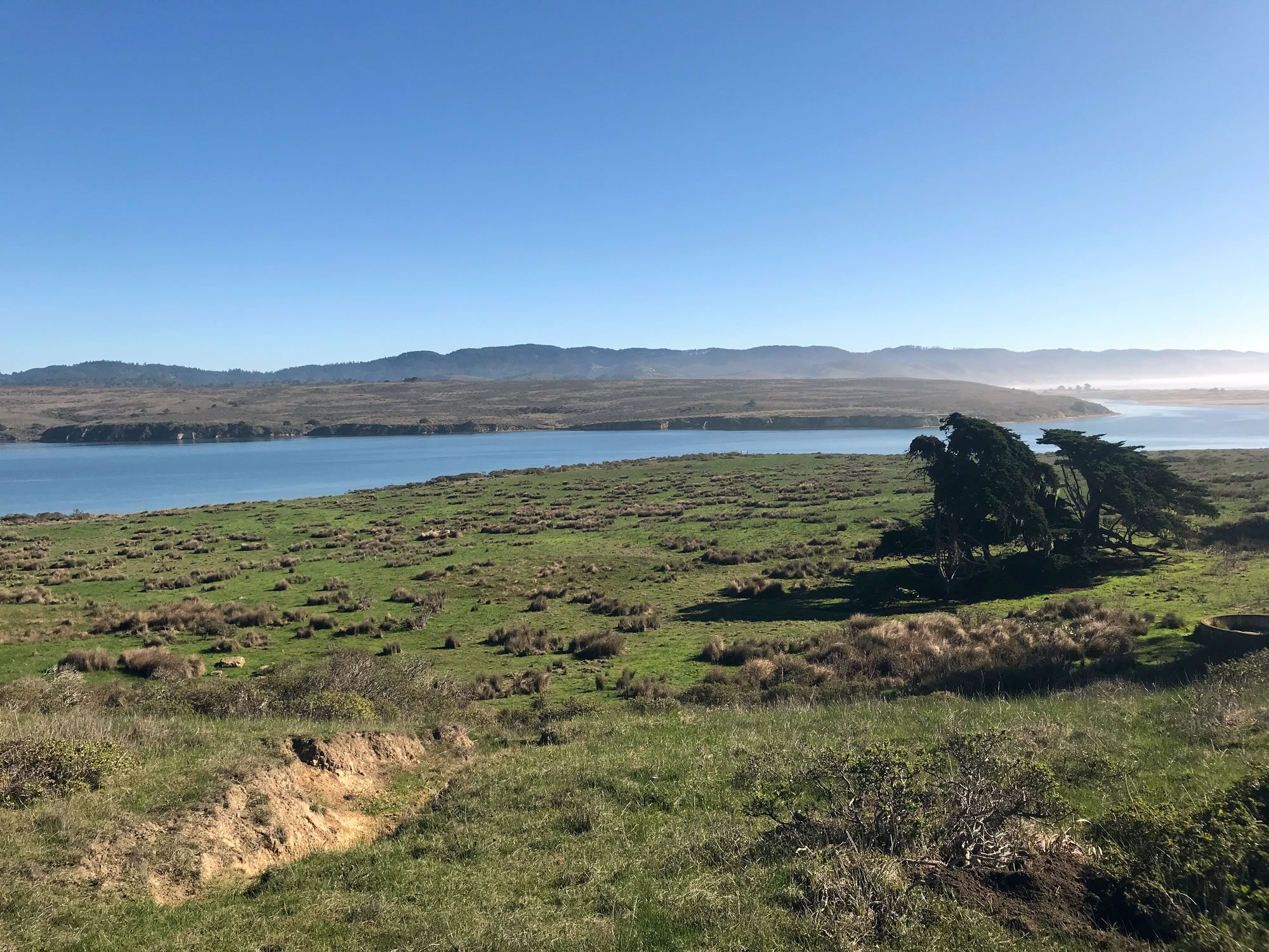
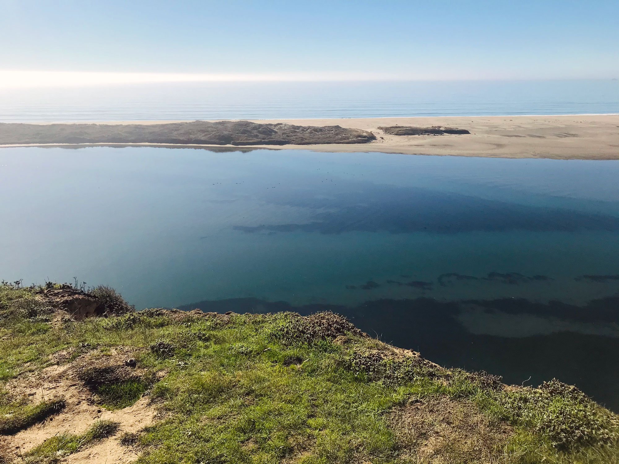
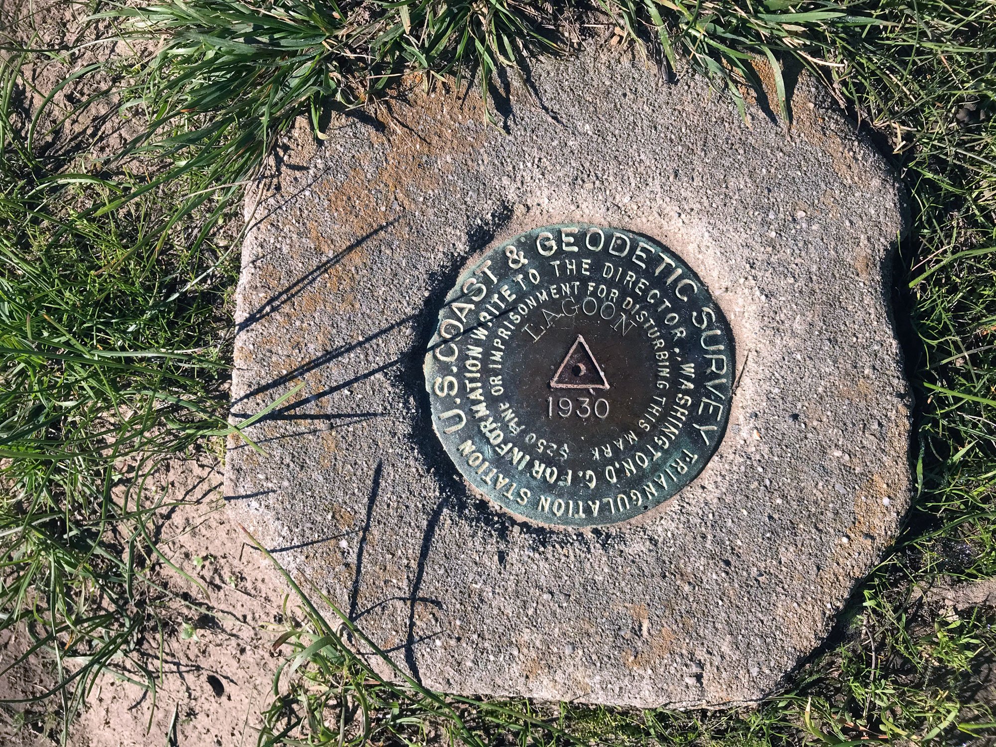
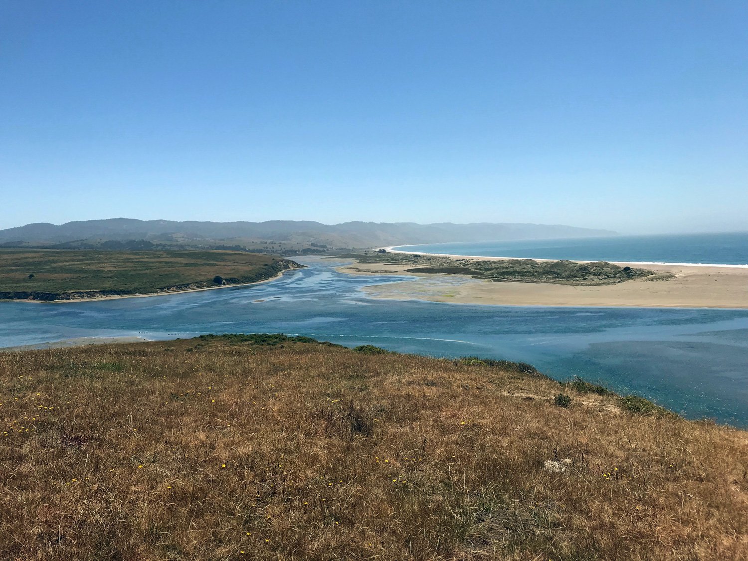
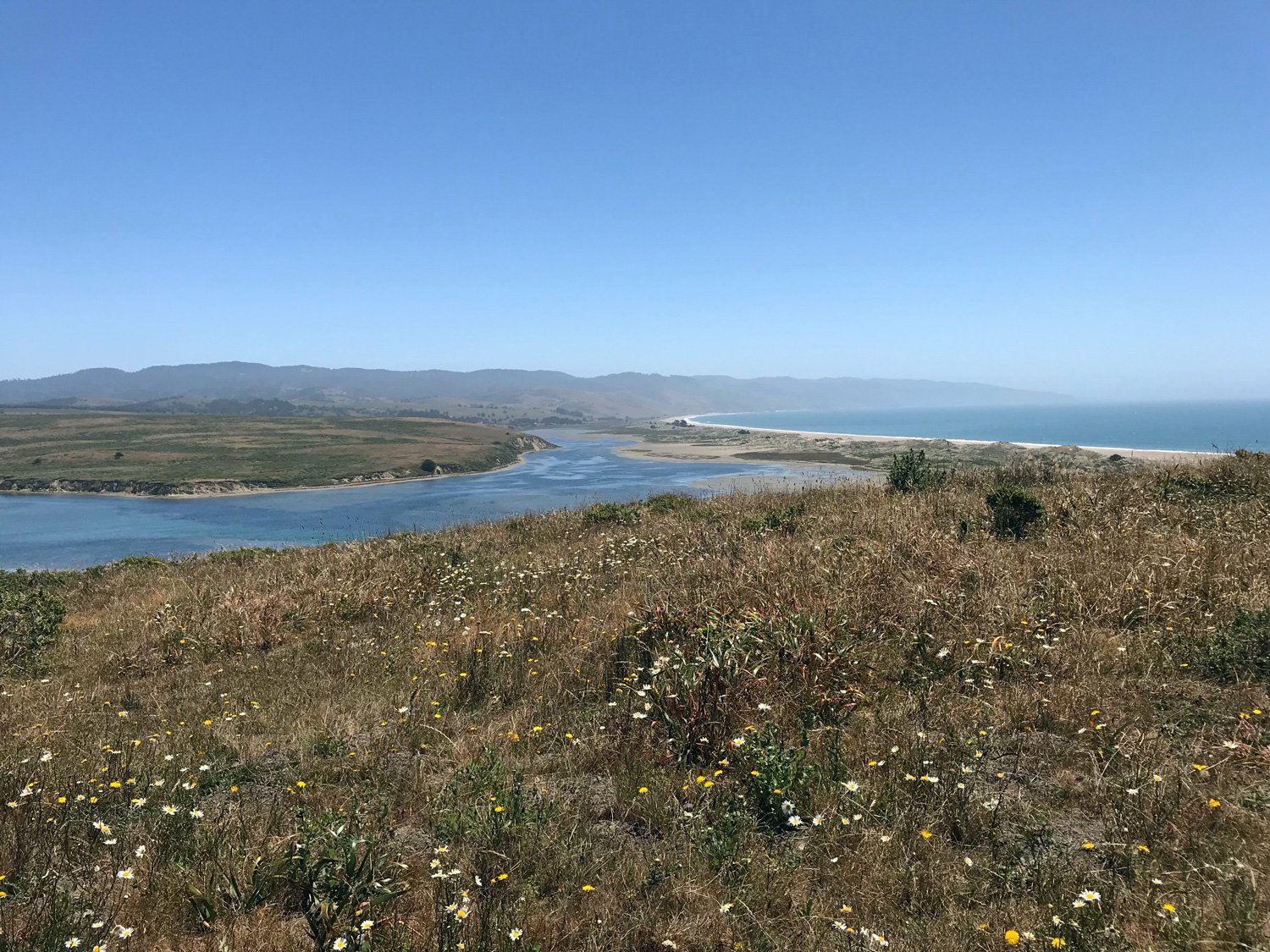
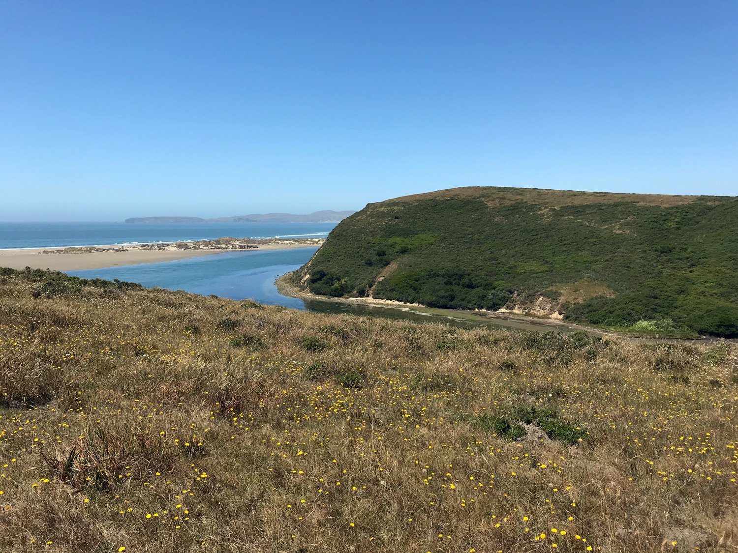
Watch for leopard sharks or rays swimming in the shallow water below. A good time to visit is the fall when leopard sharks enter Limantour Estero to breed. It's a beautiful and expansive view spanning Drakes Beach to Chimney Rock on the west and along Limantour Beach on the east. A US Coast and Geodetic Survey marker from 1930 sits atop the hill.

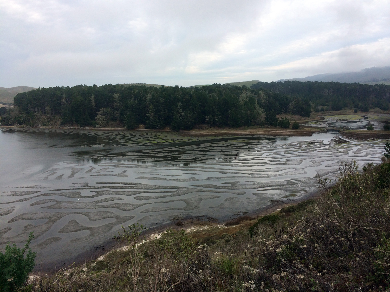
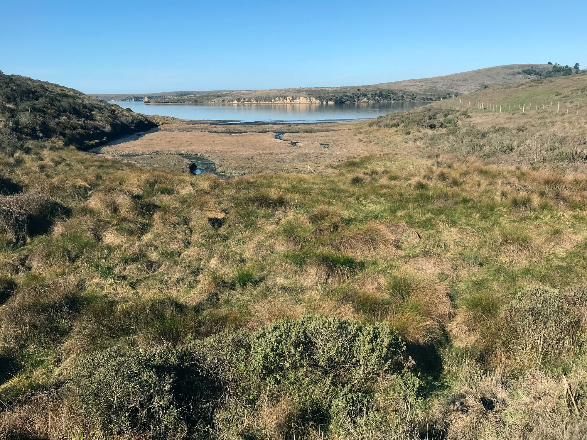
Panoramic view from drakes head. limantour estero is in the foreground. drakes Bay and the pacific ocean are beyond. The sand strip is Limantour spit and the cliffs of drakes beach are in the distance on the right.


Volunteer Opportunity: Snowy Plover Docent
Educate visitors about the threatened Western Snowy Plovers during nesting season from Memorial Day to Labor Day. Docents staff an information table at a trailhead or on the beach and walk the trail and beach informing visitors about Snowy Plovers.