
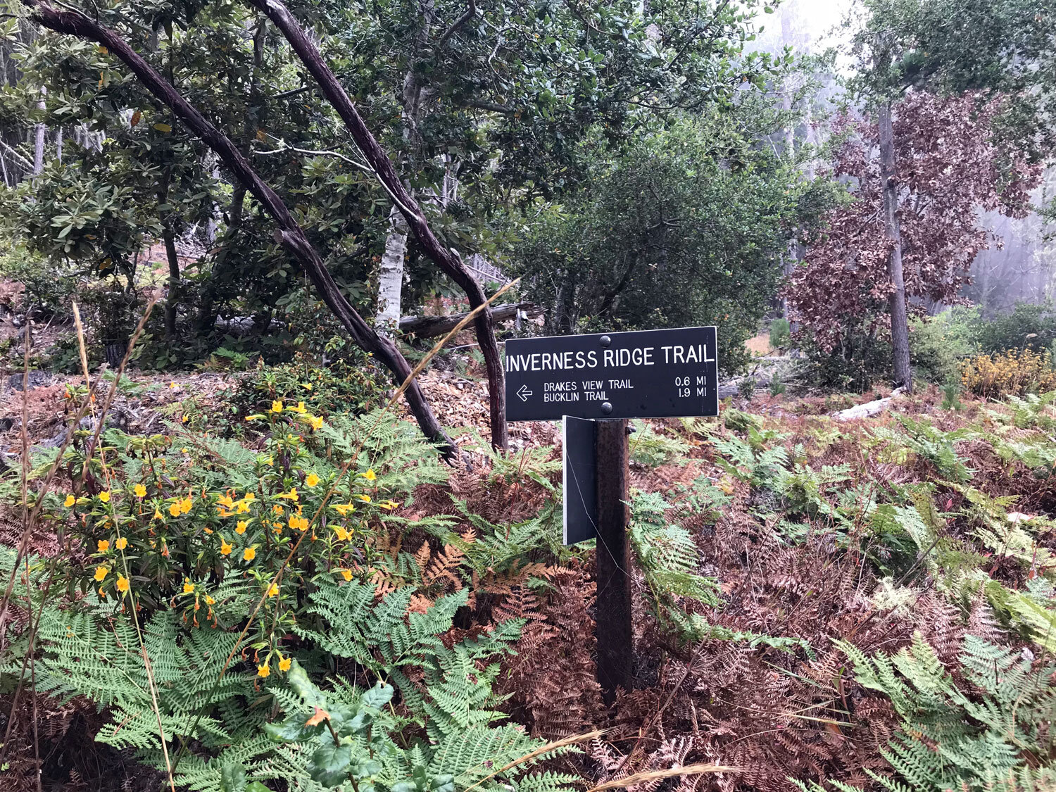
Inverness Ridge Trail


Trail length: 2.6 miles (runs between Limantour Road and Mt. Vision Rd)
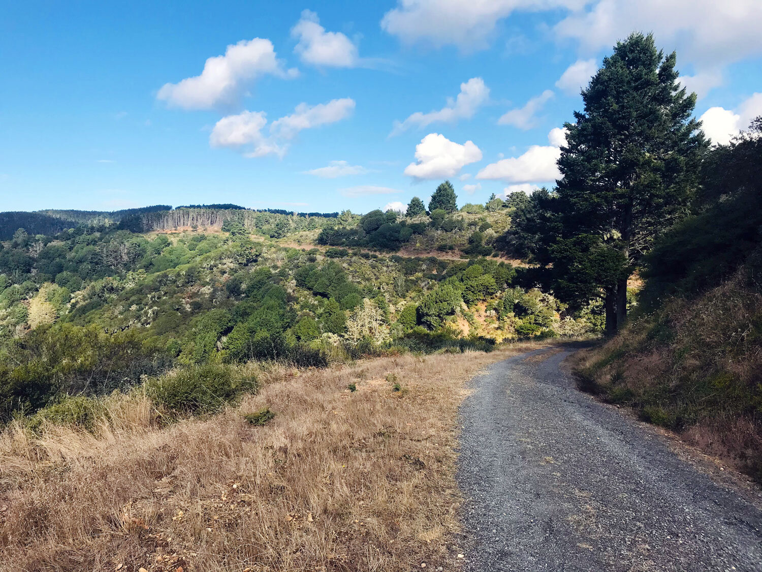
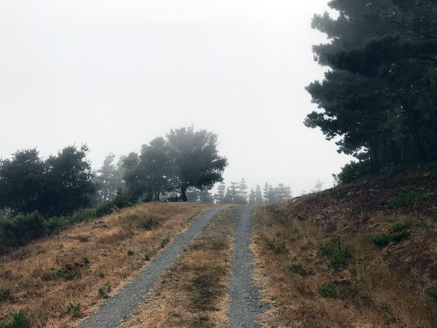
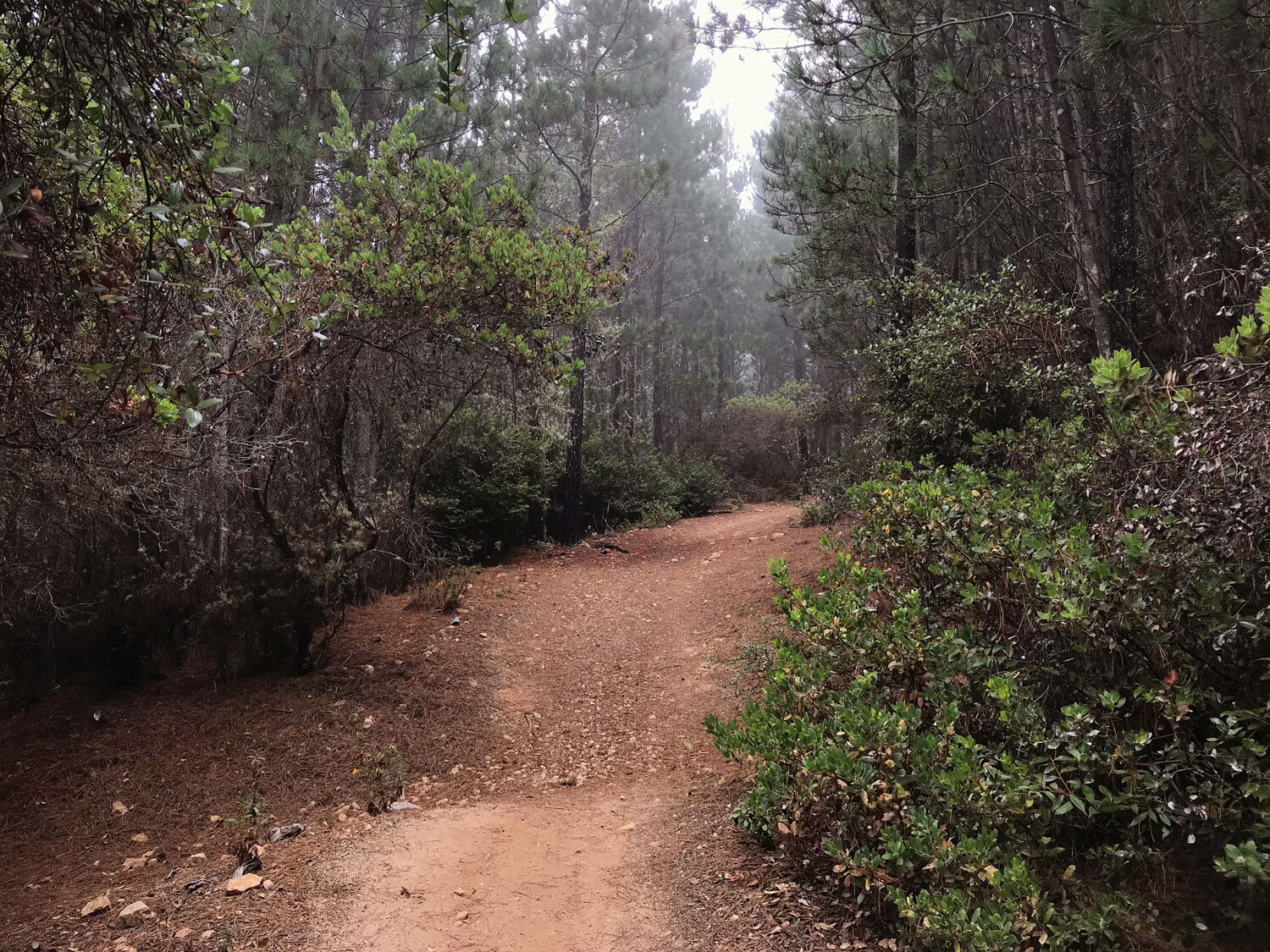
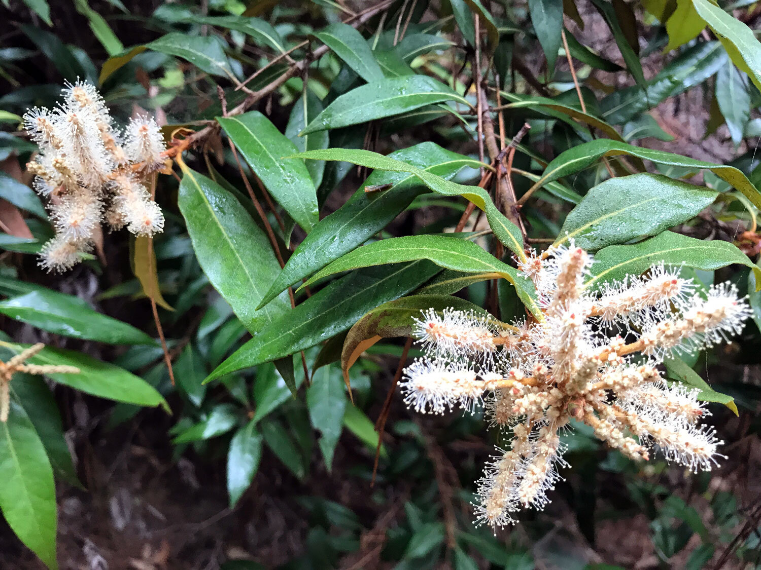
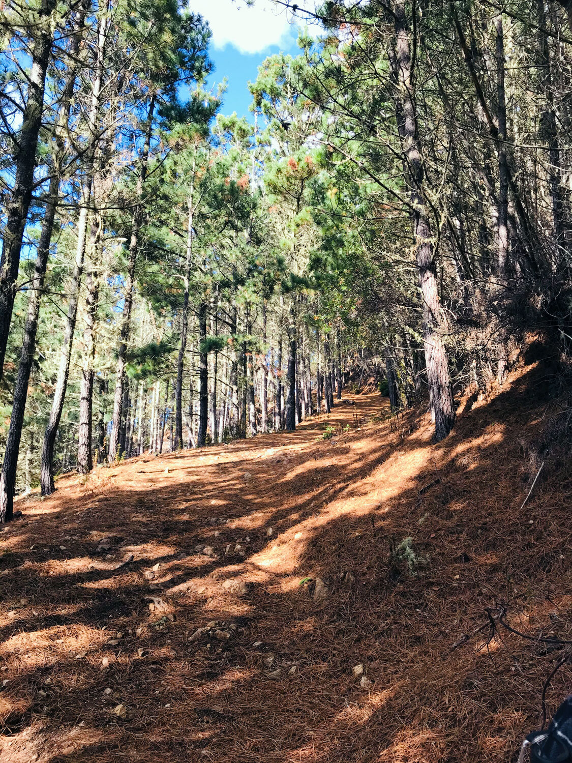
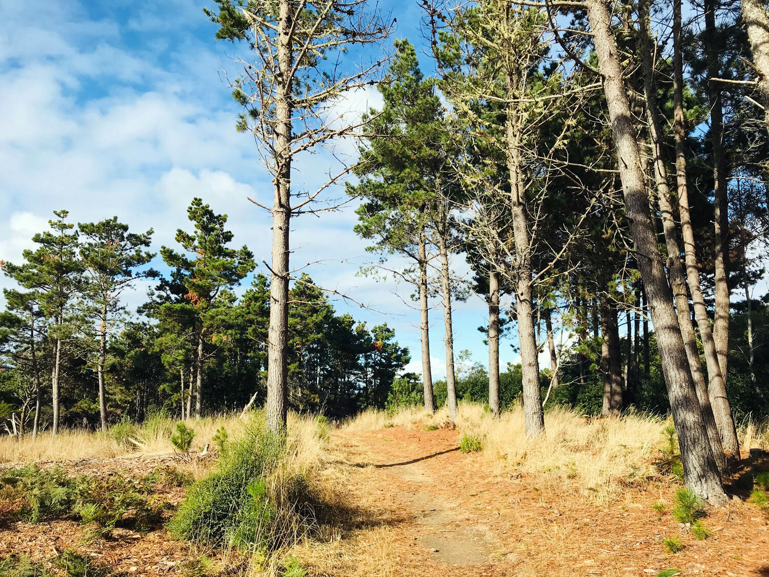
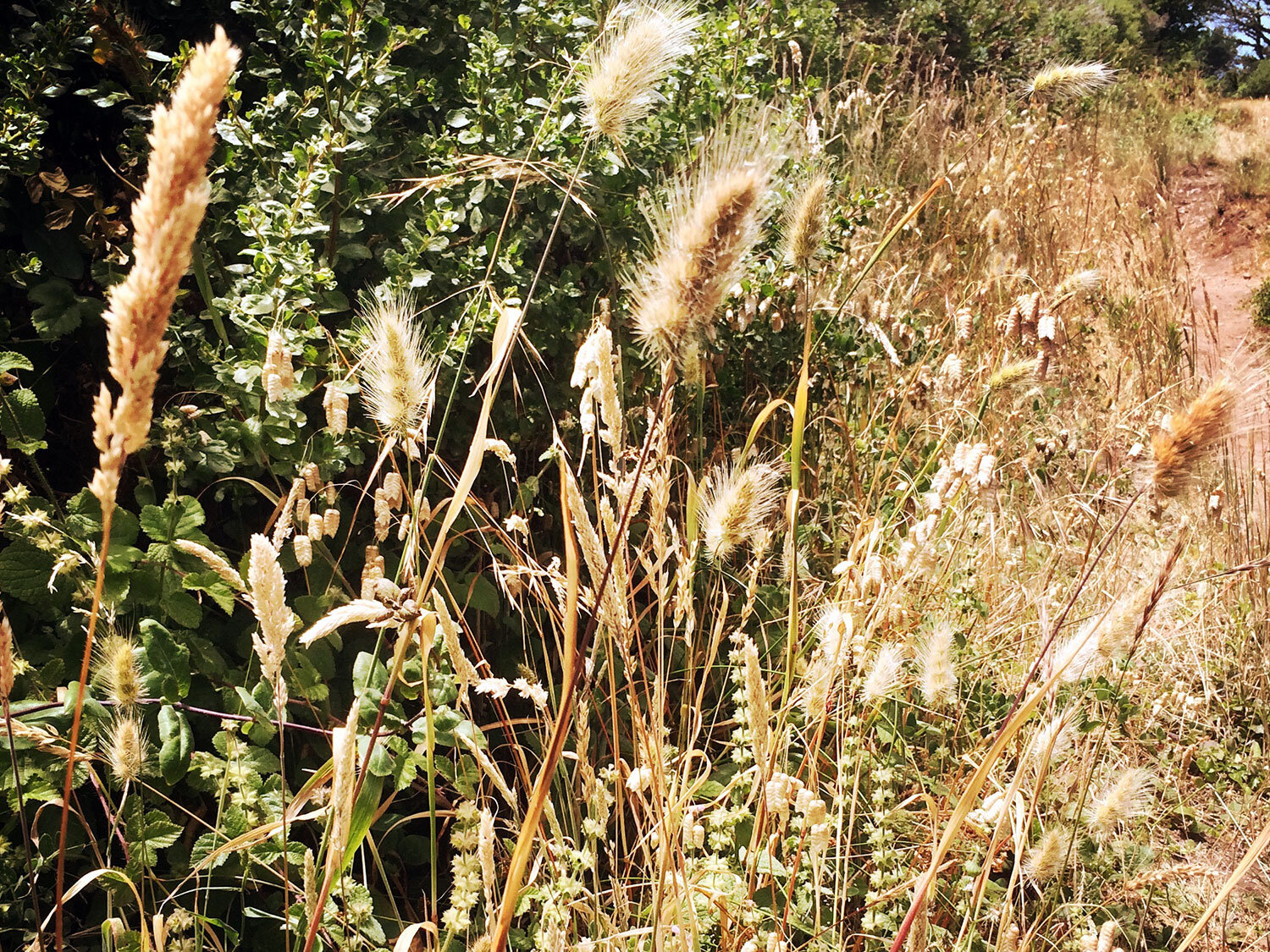
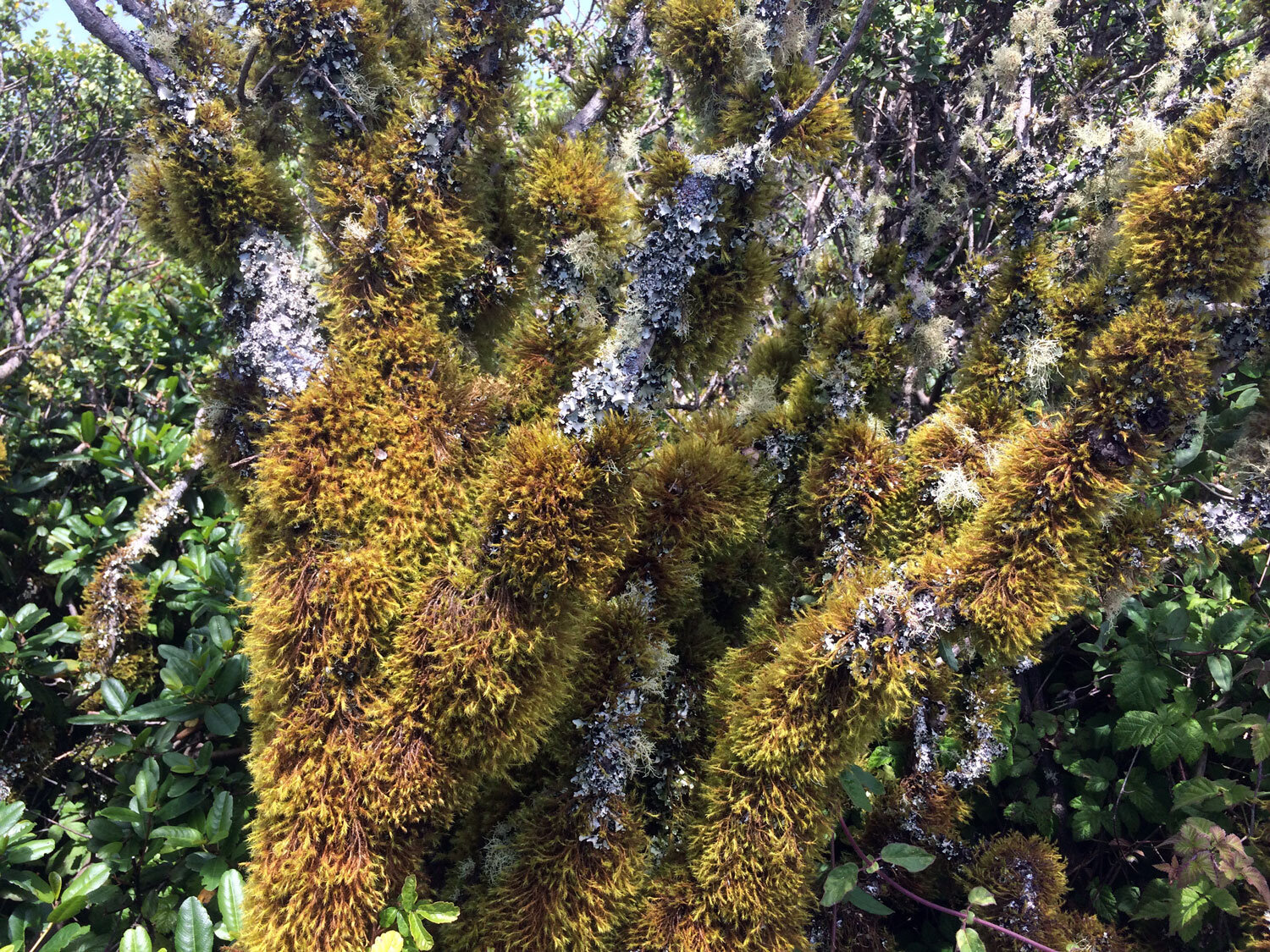
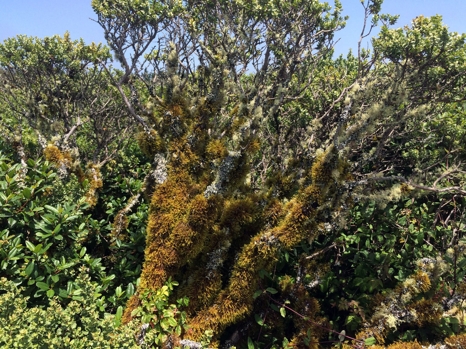
Terrain: gravel path, dirt path, oak, fir, bay forests
Restroom? No
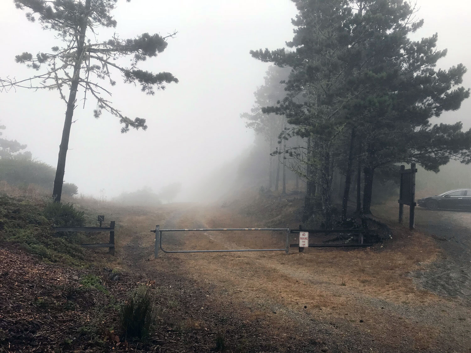
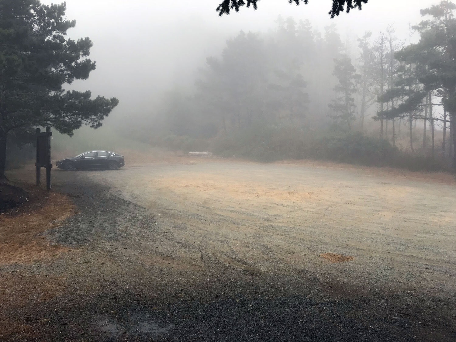
Parking: large parking areas at the Bayview Trailhead and at the end of Mount Vision Rd.
Kid friendly? Yes
Dates visited: 7/2/16, 8/14/18, 11/29/19, 11/6/20, 1/9/21
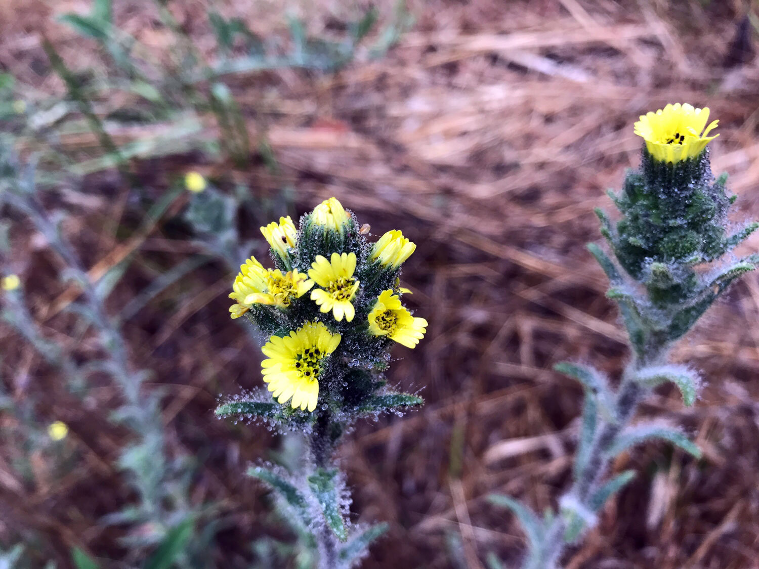
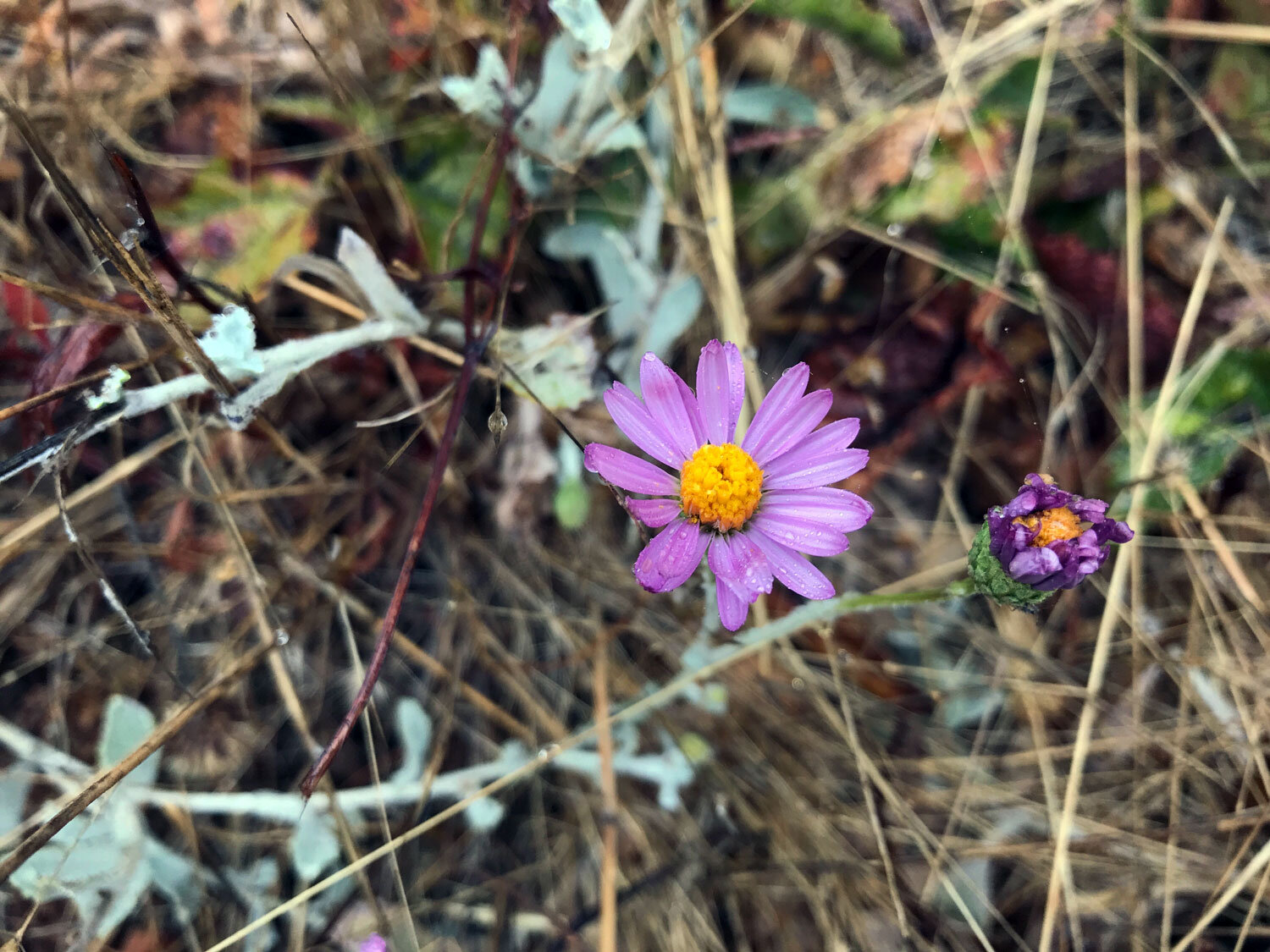
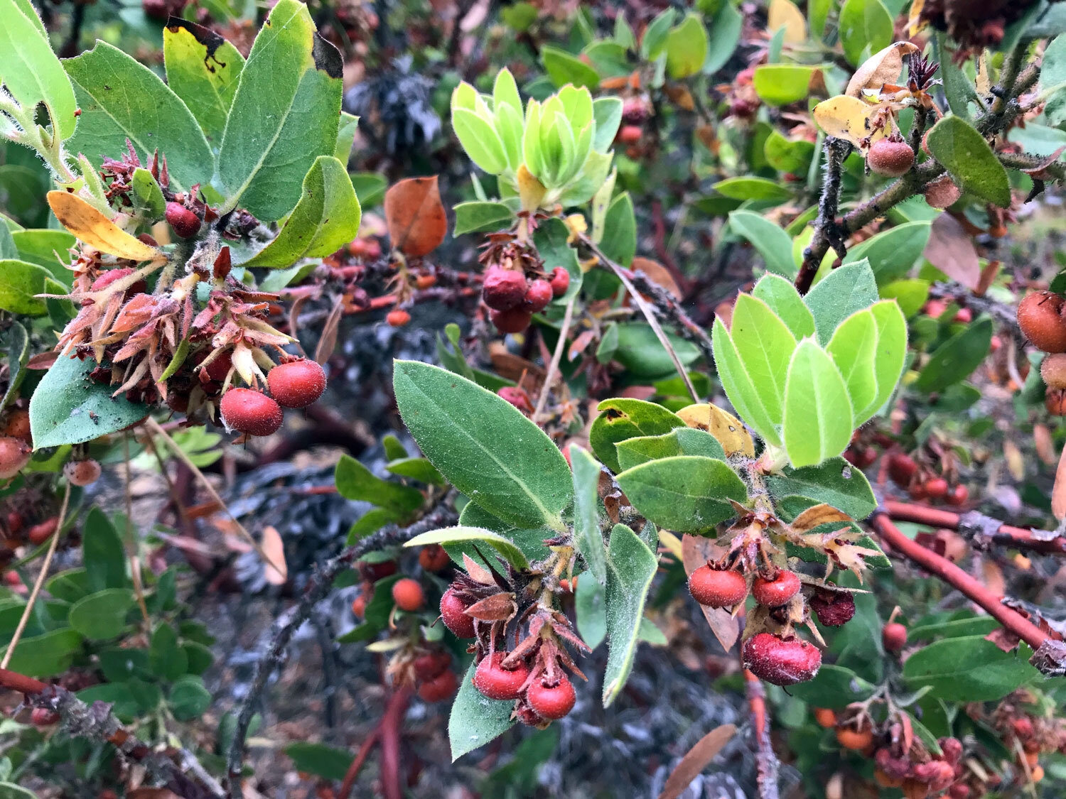
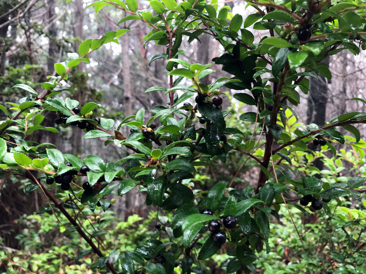
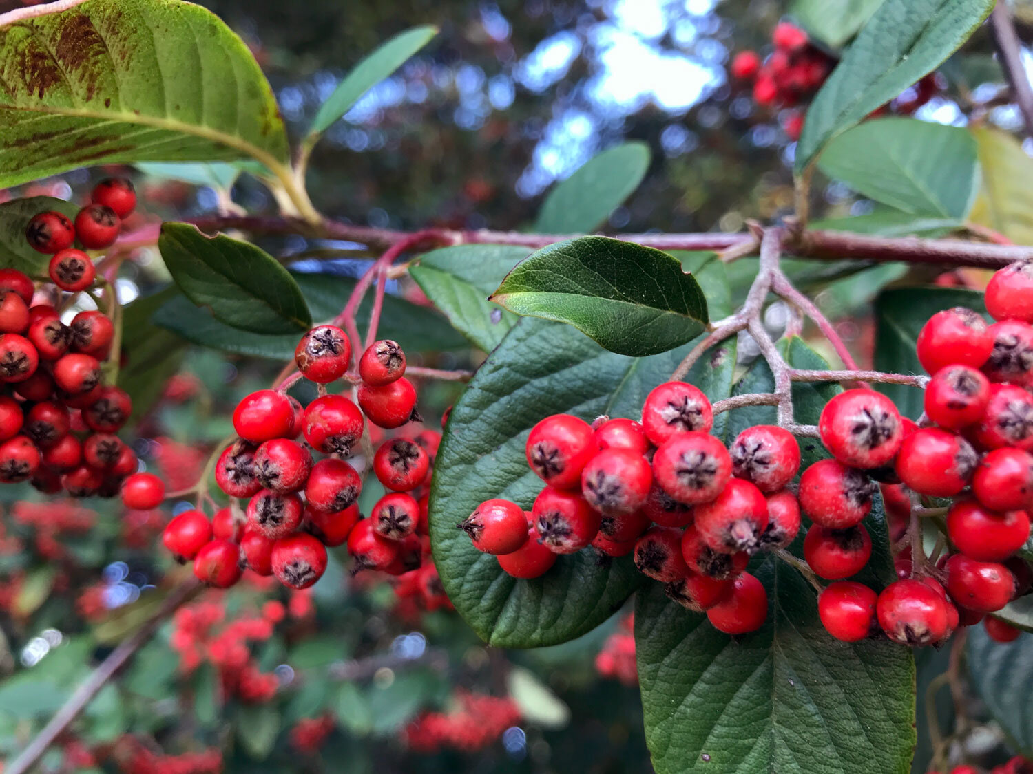
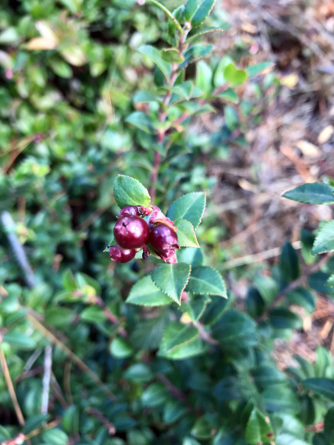
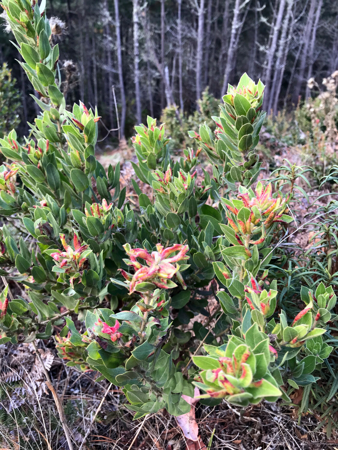
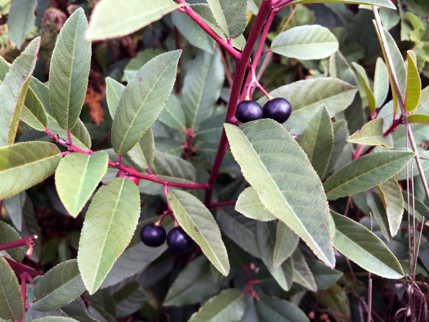
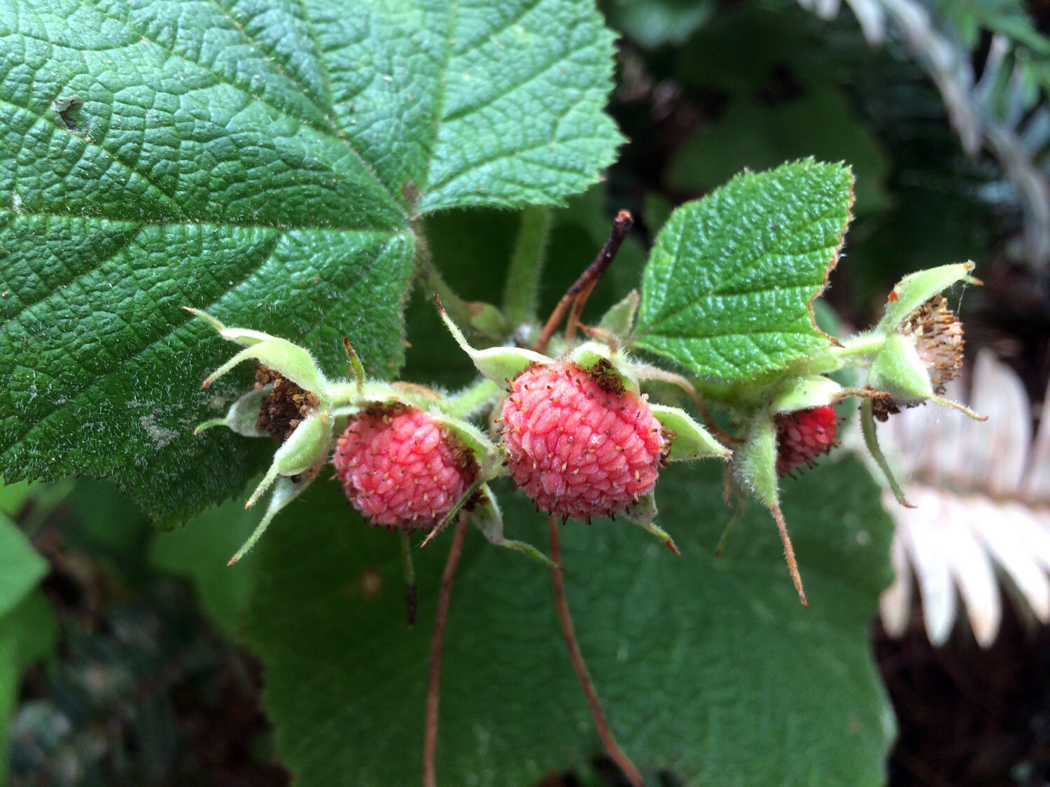
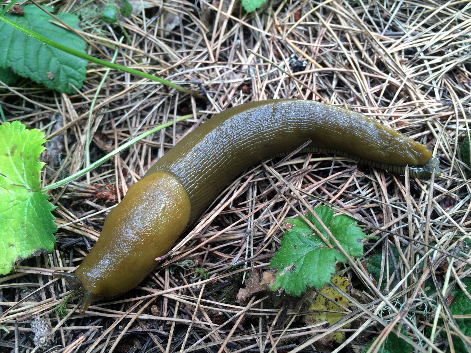
Favorite plants on this trail: manzanitas
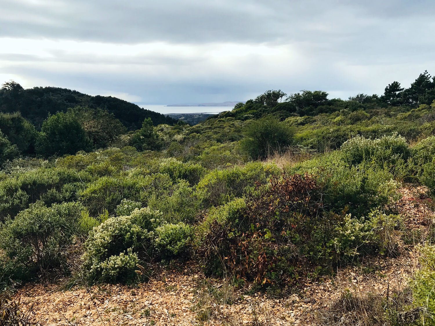
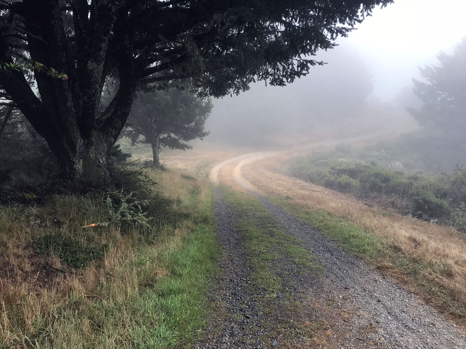
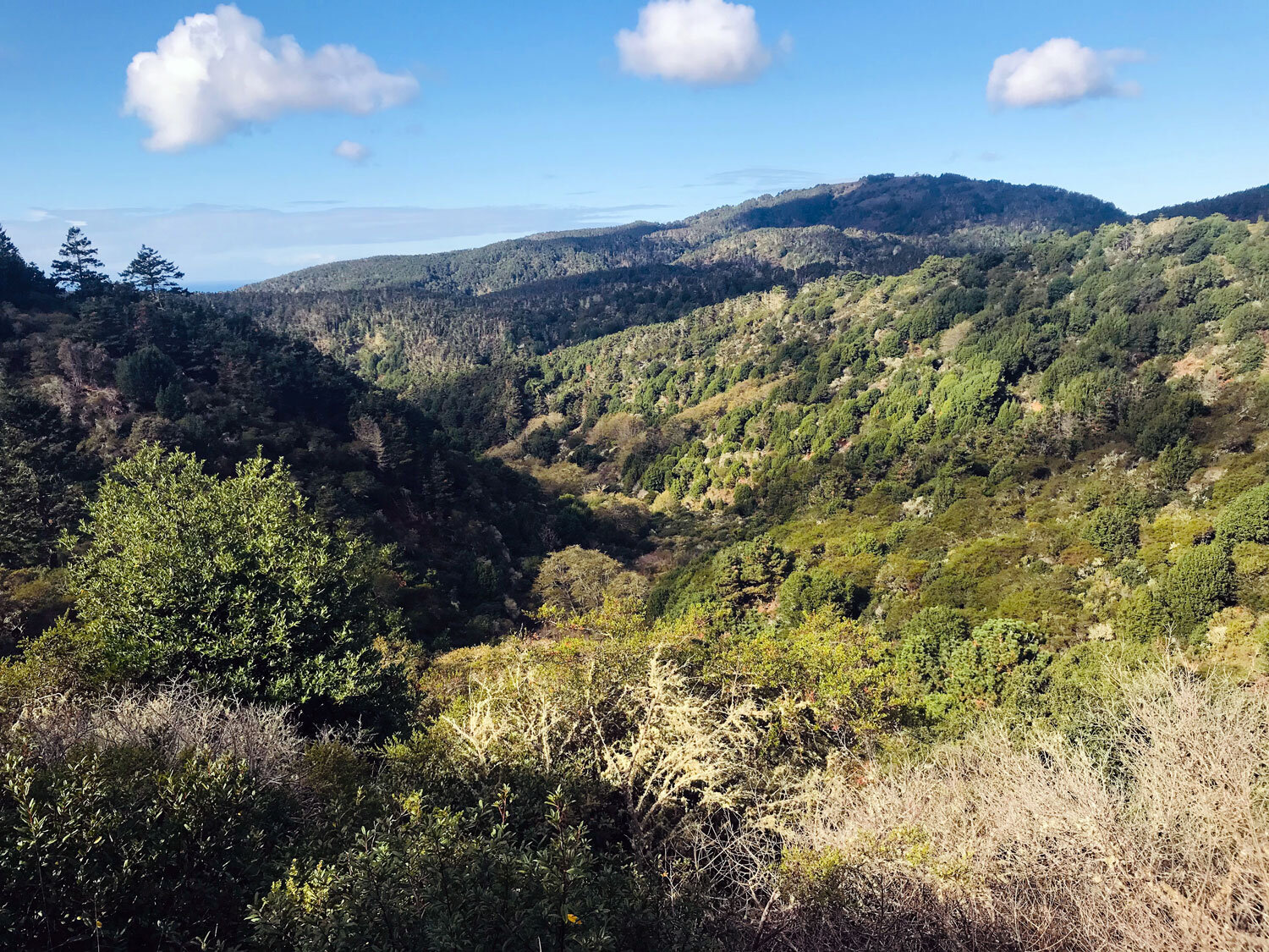
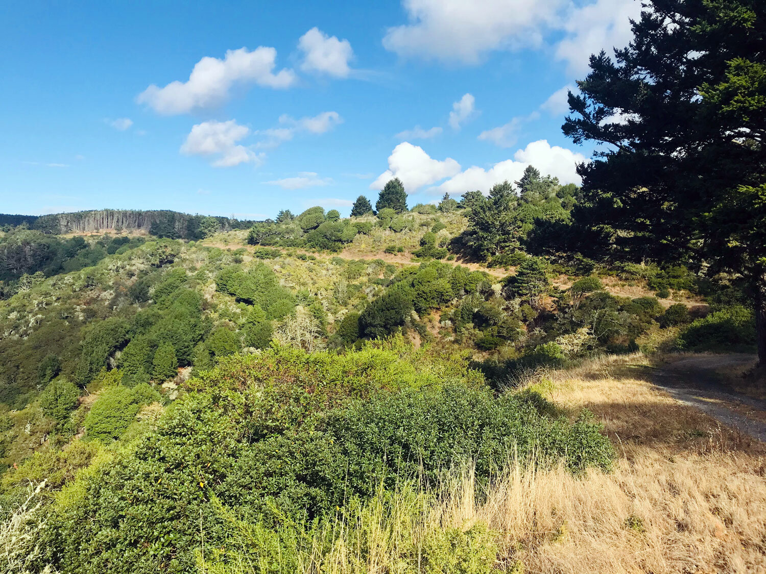
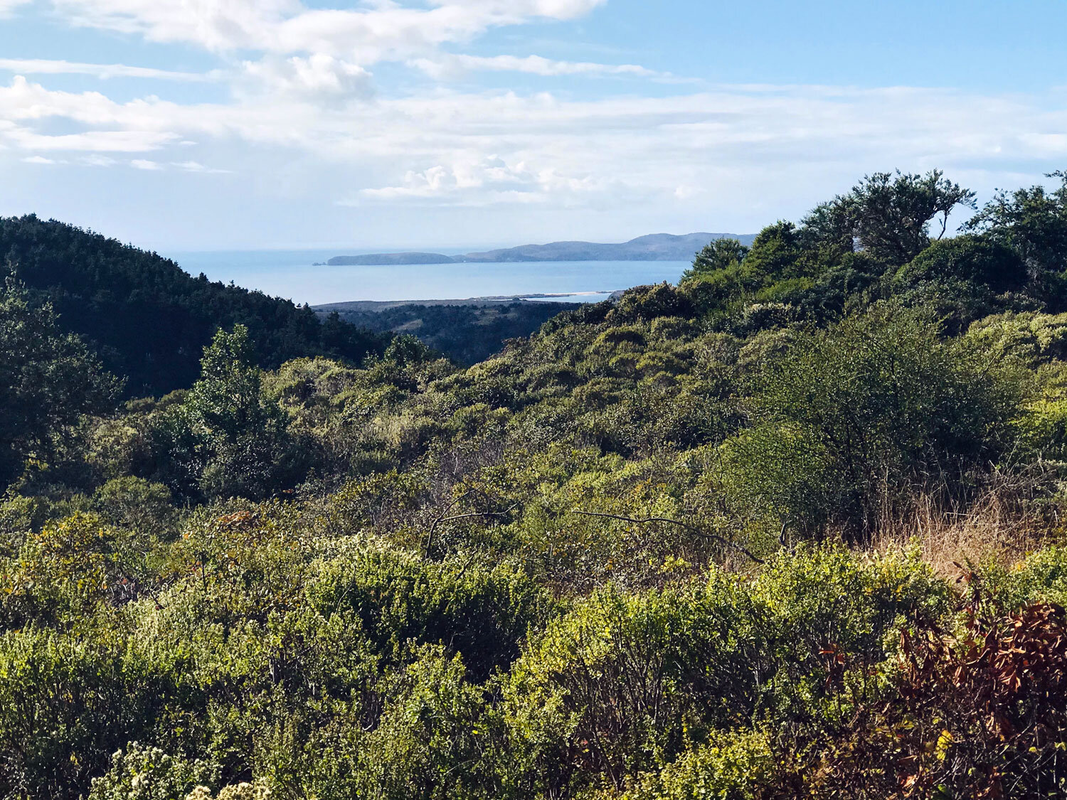
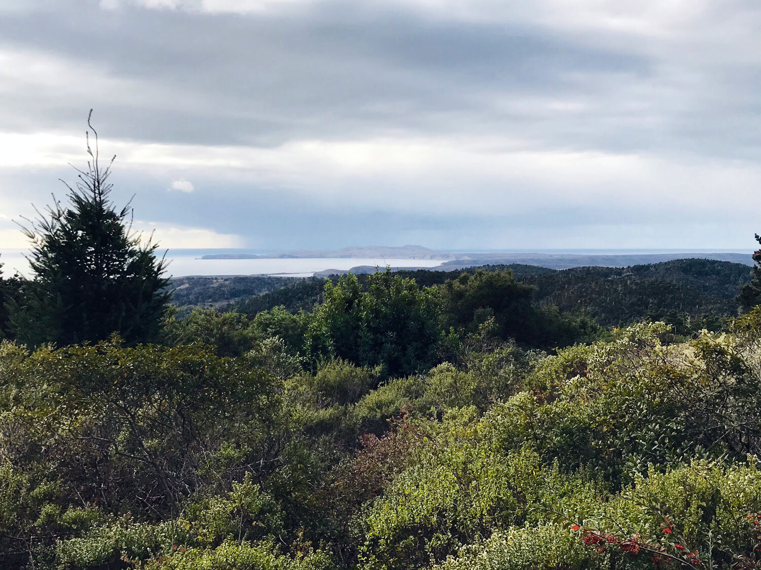
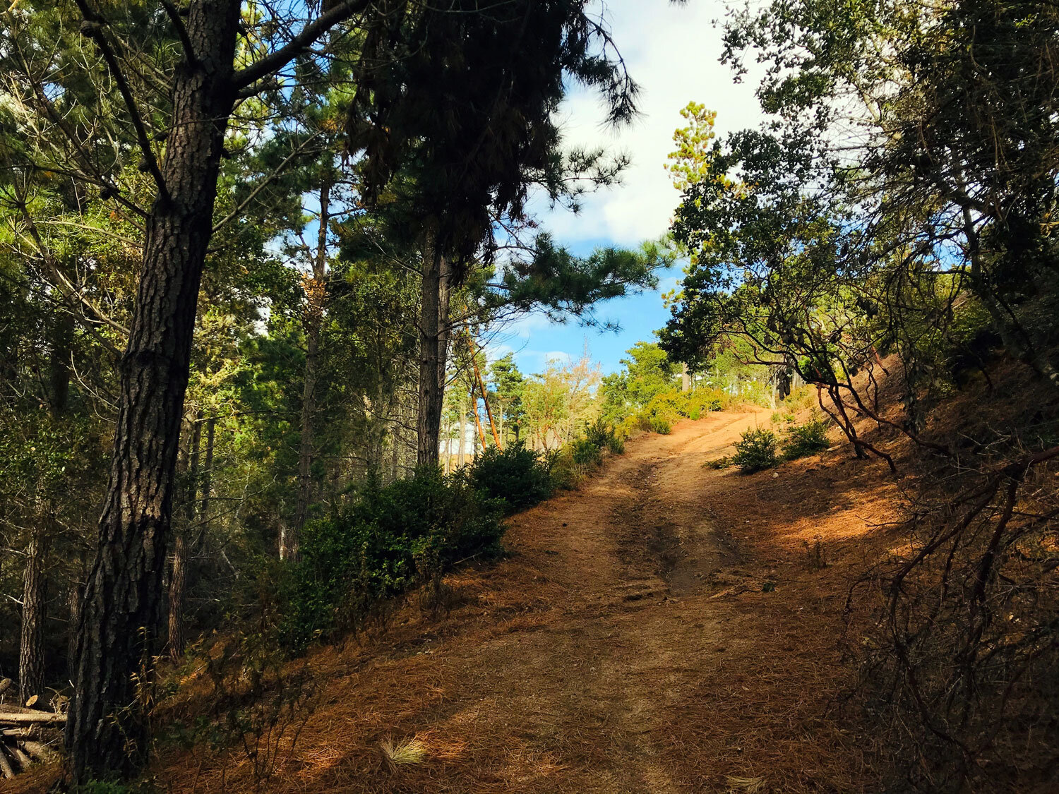
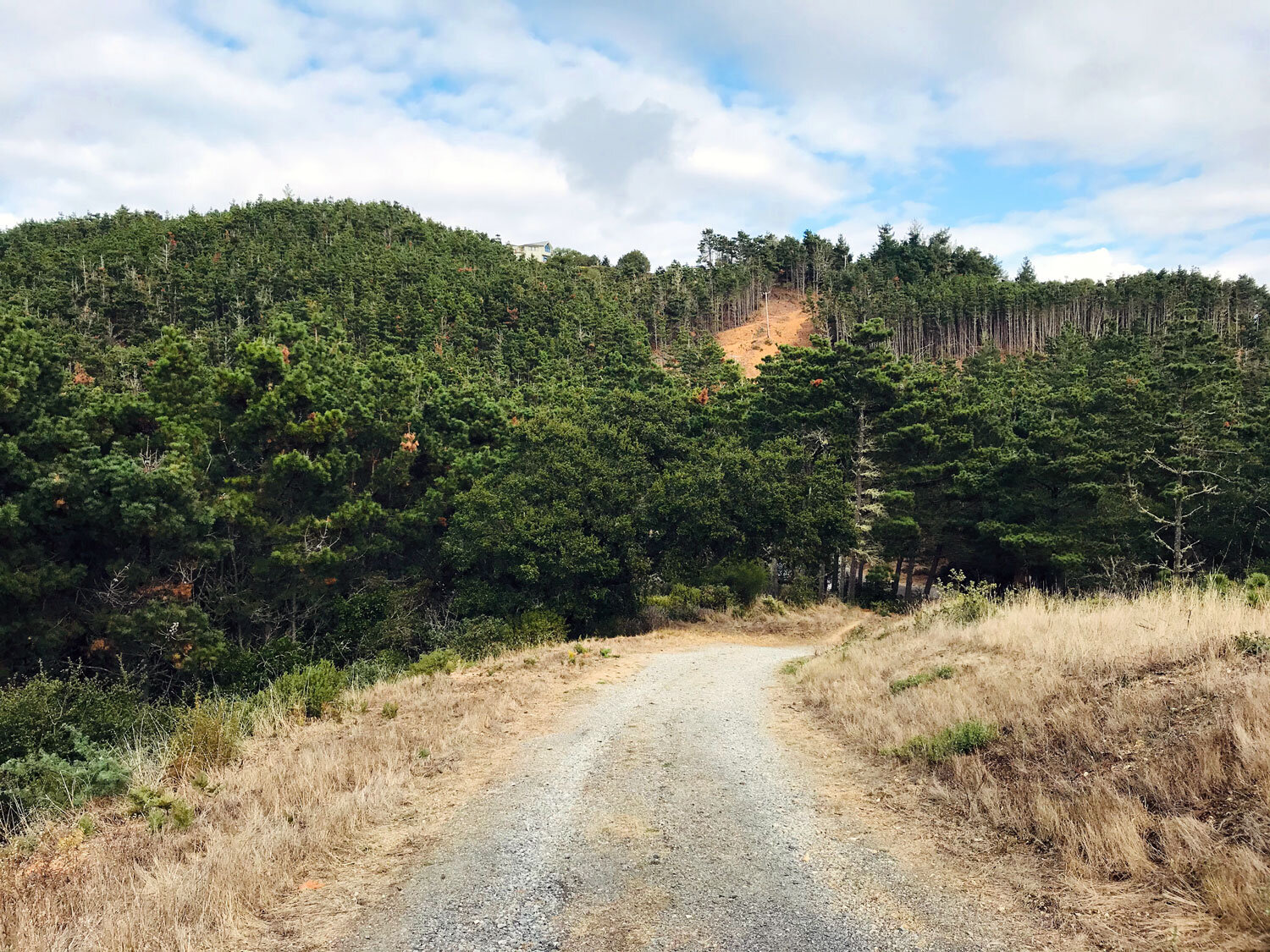
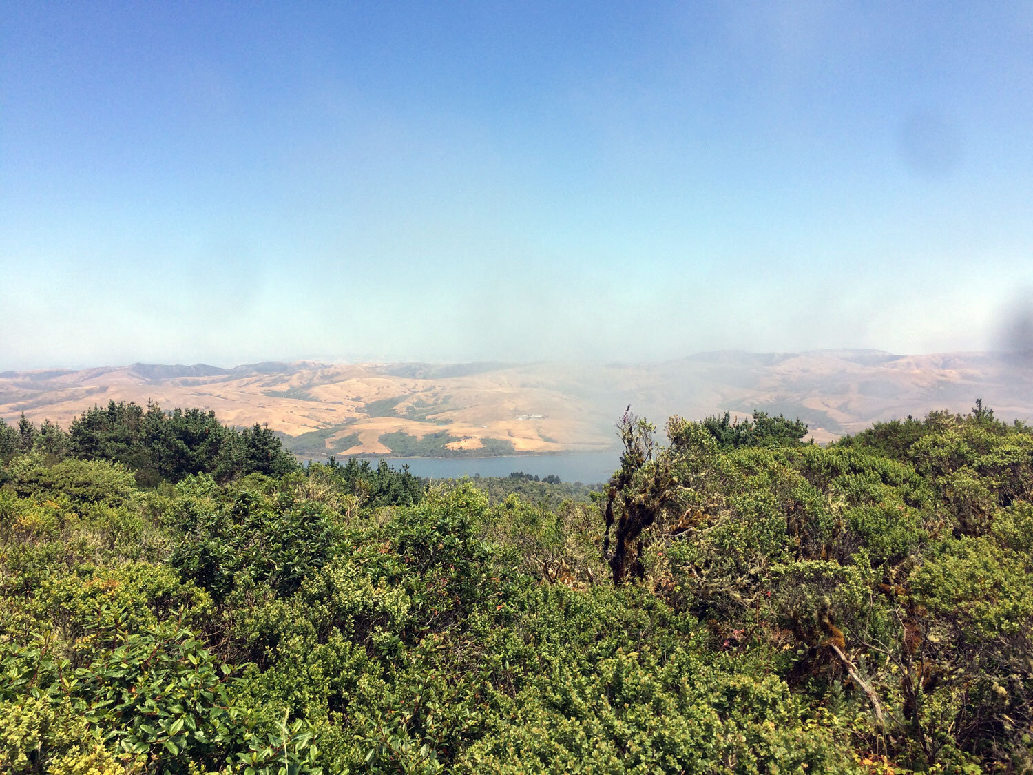
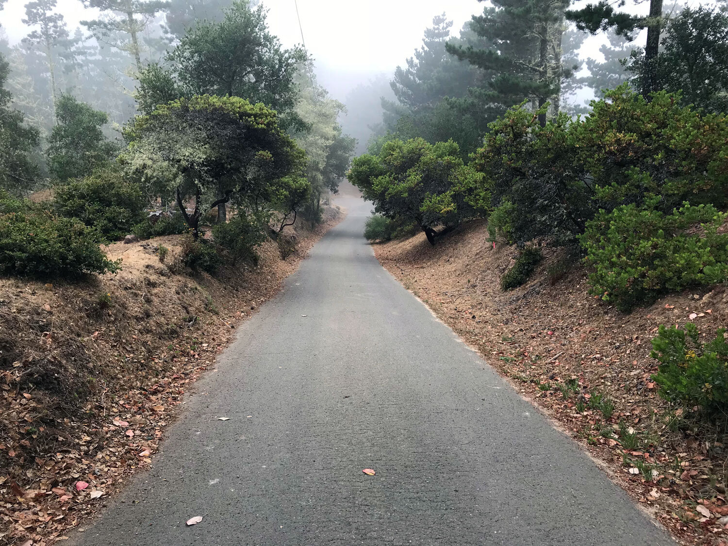
The Inverness Ridge Trail offers views of Drakes Beach and Chimney Rock in the distance. The dirt path portion of the trail ascends fairly steeply through a pine and fir forest and then opens up to a view of homes on the right and forest on the left. The trail runs along the ridge between Mount Vision and Limantour Rd. The trail is dramatic when enveloped in fog.
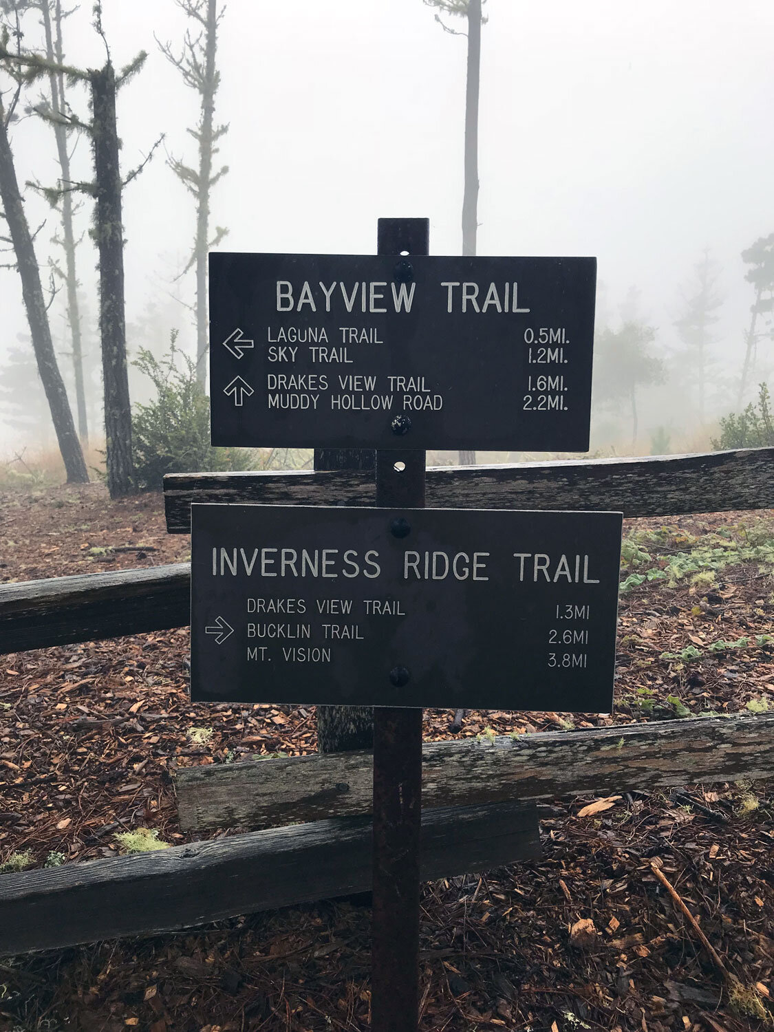
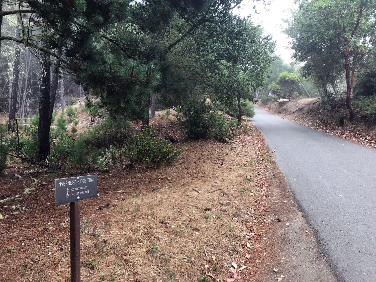
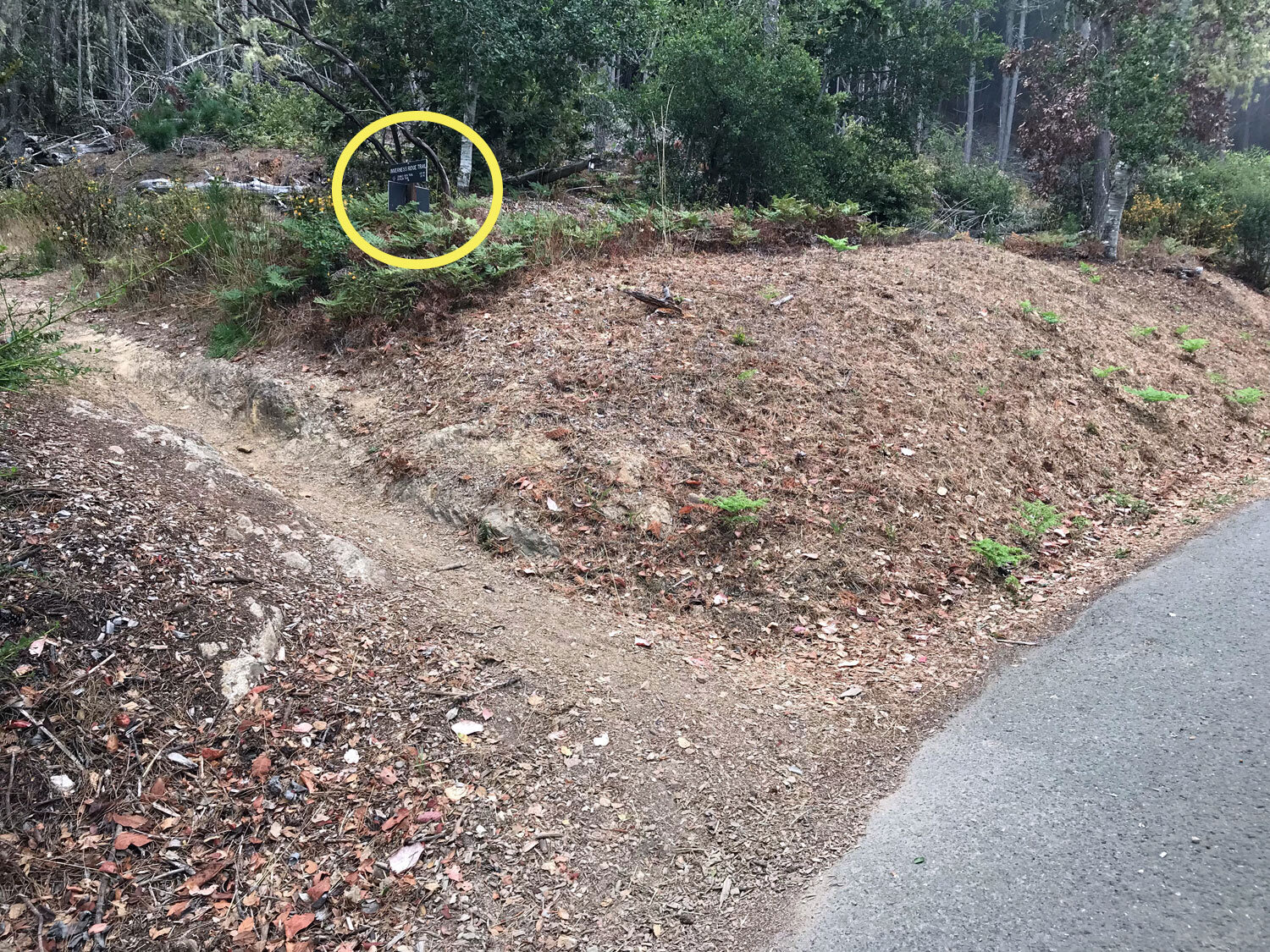
Access the trail from either the Bayview/Inverness Ridge Trailhead parking area or the parking area at the top of Mount Vision Rd. If you start your hike at Limantour Rd, be aware the trail pauses at a paved residential road and then picks up again as a dirt trail on the left, 370 feet later. It’s easy to miss the trail marker which is placed about 20 feet from the paved road. See below for photos showing the markers.
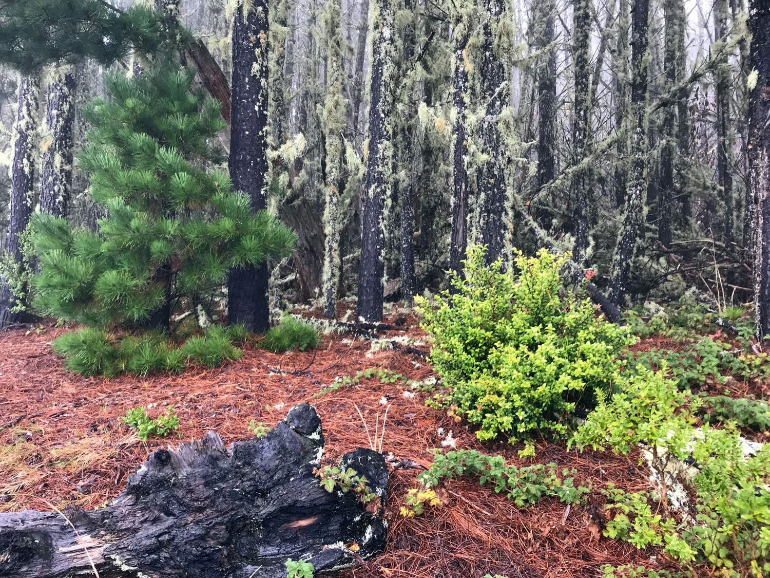
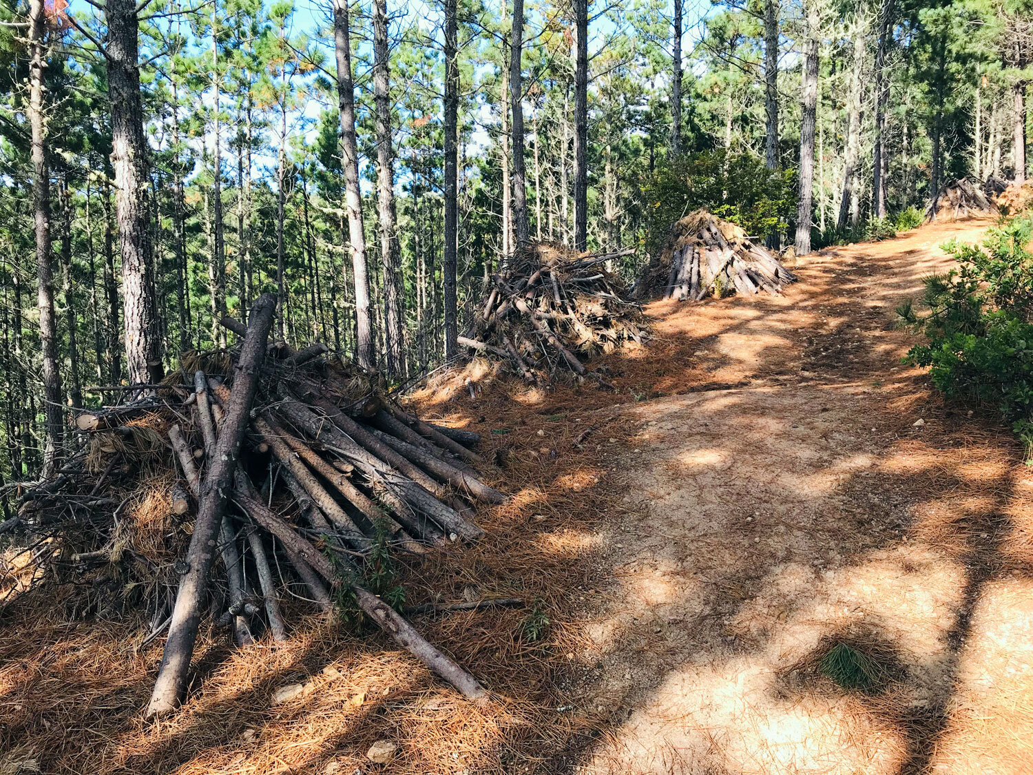
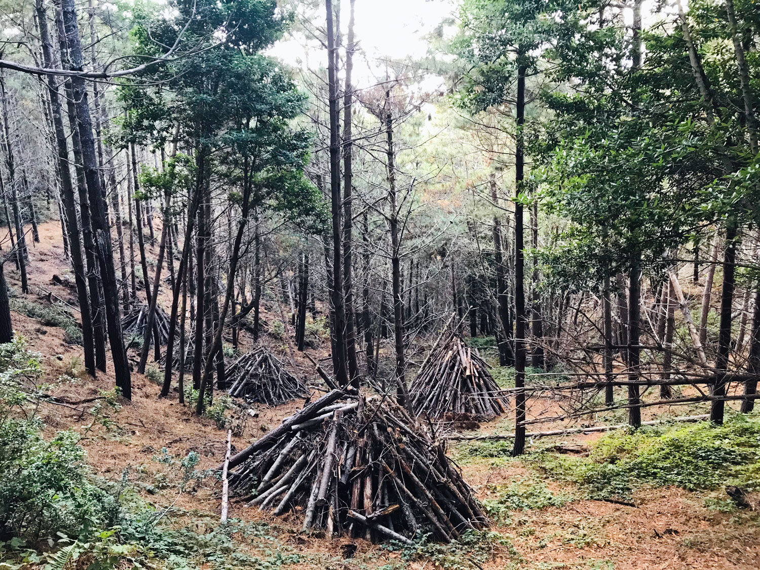
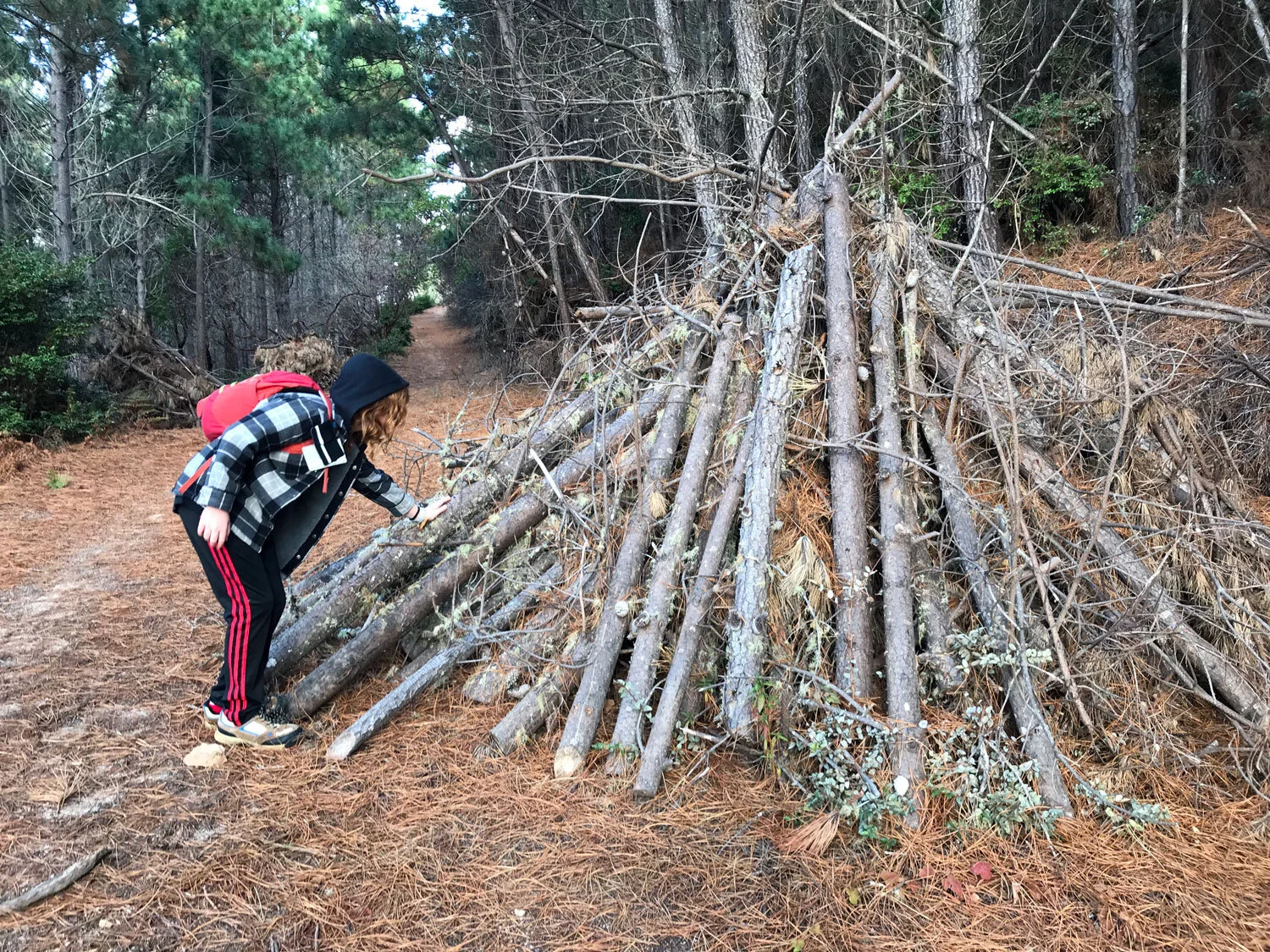
In November 2019, many piles of tree trunks and branches were stacked neatly in pyramids on the sides of the trail. I assumed these trees were intentionally thinned from this dense area of the forest — site of the massive Mount Vision forest fire in the 1995. I was curious whether the resulting tree trunk piles were placed permanently as homes for critters or to help with erosion or were they simply awaiting later removal? Update: They were still on site in November 2020, but they were removed two months later when I visited in January 2021.

Loop: Inverness Ridge, Drakes View, Bayview
For a 5-mile loop hike, start at the Bayview Trailhead parking lot. Take the Inverness Ridge Trail to the Drakes View Trail and return on the Bayview Trail to the trailhead. This is the best direction for the loop. It puts you going downhill for the steep Drakes View trail.
How to stay on the path (despite the poor placement of the trail marker)
The first section of the Inverness Ridge Trail ends at a residential paved road. The trail marker explains “trail continues up road 370 feet, then on left.” Follow the paved road briefly uphill. It’s easy to miss the continuation of the trail for two reasons: 1) the trail marker is about 20 feet off the paved road, uphill, nestled in the shrubs, and 2) the dirt path is inconspicuous and you might not recognize it as a trail. Once you are on the dirt path, you’ll finally see the marker to your right! It’s only a few minutes walk.


Volunteer Opportunity for Families: Native Plant Seed Collection

Help park staff in collecting native grass seed for use in park restoration and conservation projects. Open to kids age 7 and older accompanied by an adult. You’ll learn to identify native plants and learn when it’s time to collect the seeds.