
Hiking in Point Reyes
Point Reyes is a 111 square mile peninsula on the West Marin coast of Marin County, California with more than 150 miles of hiking trails.
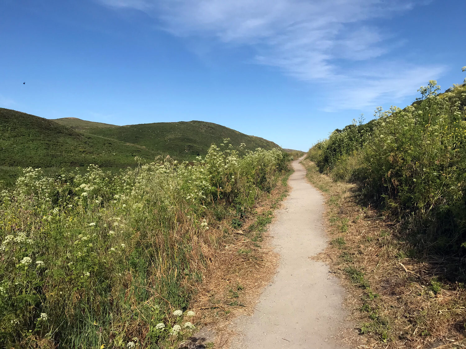
Point Reyes Nature gives you a tasty preview of trails, beaches, and landmark destinations to explore. Hikes feature LOTS of photos, often illuminating seasonal differences. The same trail will look very different in April than in October.
For more technical information on elevations, trail conditions, and routes, consult the resources below.
ProTrails (scroll to the bottom for Point Reyes trails)
And for compelling descriptions of trails and wildlife, there’s nothing better than naturalist Jules Even’s journals in Bay Nature from his year-long walkabout of all the trails of Point Reyes.
Trail maps
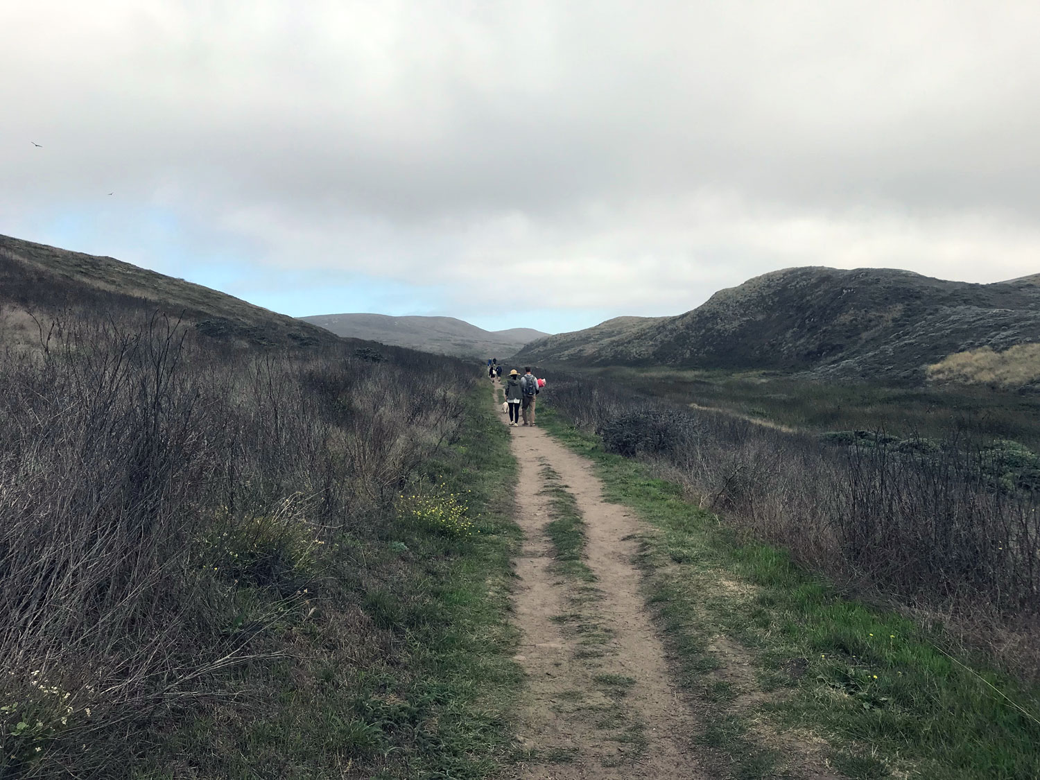
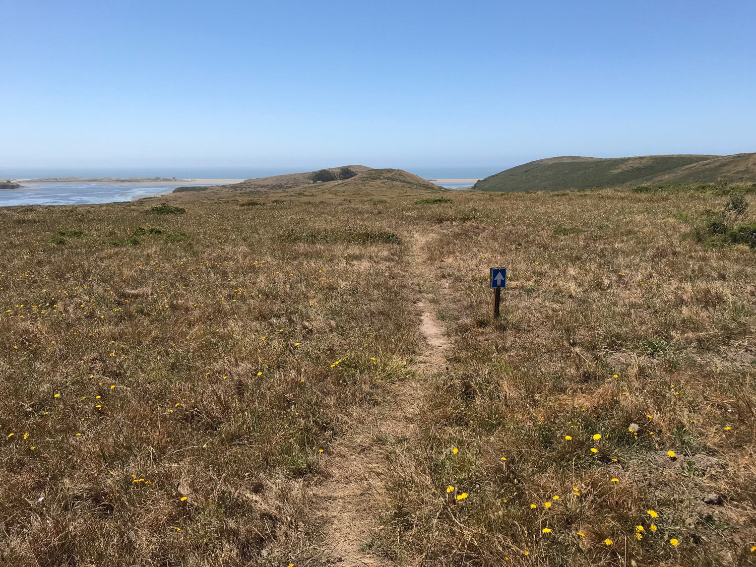
Before setting out, get a free double-sided hiking map from one of the Point Reyes National Seashore visitor centers (Bear Valley, Drakes Beach, Lighthouse) or print the maps below. One side has the north district covering the arm of Tomales Point, and the arm of the lighthouse and Chimney Rock. The south district covers Limantour Road to Bolinas.
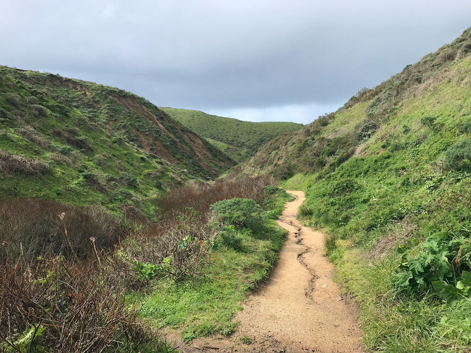
The maps provide mileage for every trail in Point Reyes National Seashore and indicate which trails are open to bicycles and dogs on leash. These maps will be sufficient for you to navigate the trails of Point Reyes. However, you’ll need a different map to see topography and elevations. Point Reyes has two ridge lines — the Inverness Ridge on the Pacific side of the peninsula and the Bolinas Ridge on the eastern side. Many hikes climb over these ridges, particularly in the south district, so you can expect to ascend and descend one or more times on your hike - bring plenty of water.

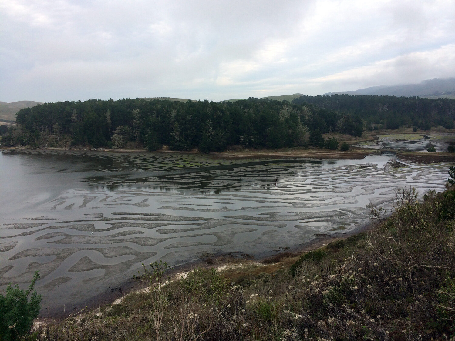
Limantour Beach and Bear Valley to Bolinas

Tomales Point to the Lighthouse and Chimney Rock
Dogs
Very few trails are open to dogs. All of them require dogs to be on leash. The Golden Gate National Recreation Area (GGNRA) trails in the east (Randall, McCurdy, Bolinas Ridge Trail) are all open to dogs on leash. Several beaches are open to dogs on leash but may have seasonal restrictions due to nesting: Limantour, Kehoe, North Beach, South Beach.
Why doesn’t the park allow dogs? While people may not consider dogs a predatory threat, wildlife does. Even if dogs do not directly interact with the resident wildlife and plants, they leave scent markings which disturb the local inhabitants. Please do not bring your comfort dog to Point Reyes. Only dogs are classified as service animals, and they must perform a specific task that assists a person with a disability. Emotional support or comfort animals are not service animals. If you have a service dog, please inquire at a park visitor center for information before setting out. (from Point Reyes NPS website)
Official guidelines from the Point Reyes National Park Service
Guide to dog areas of Point Reyes on Dog Trekker
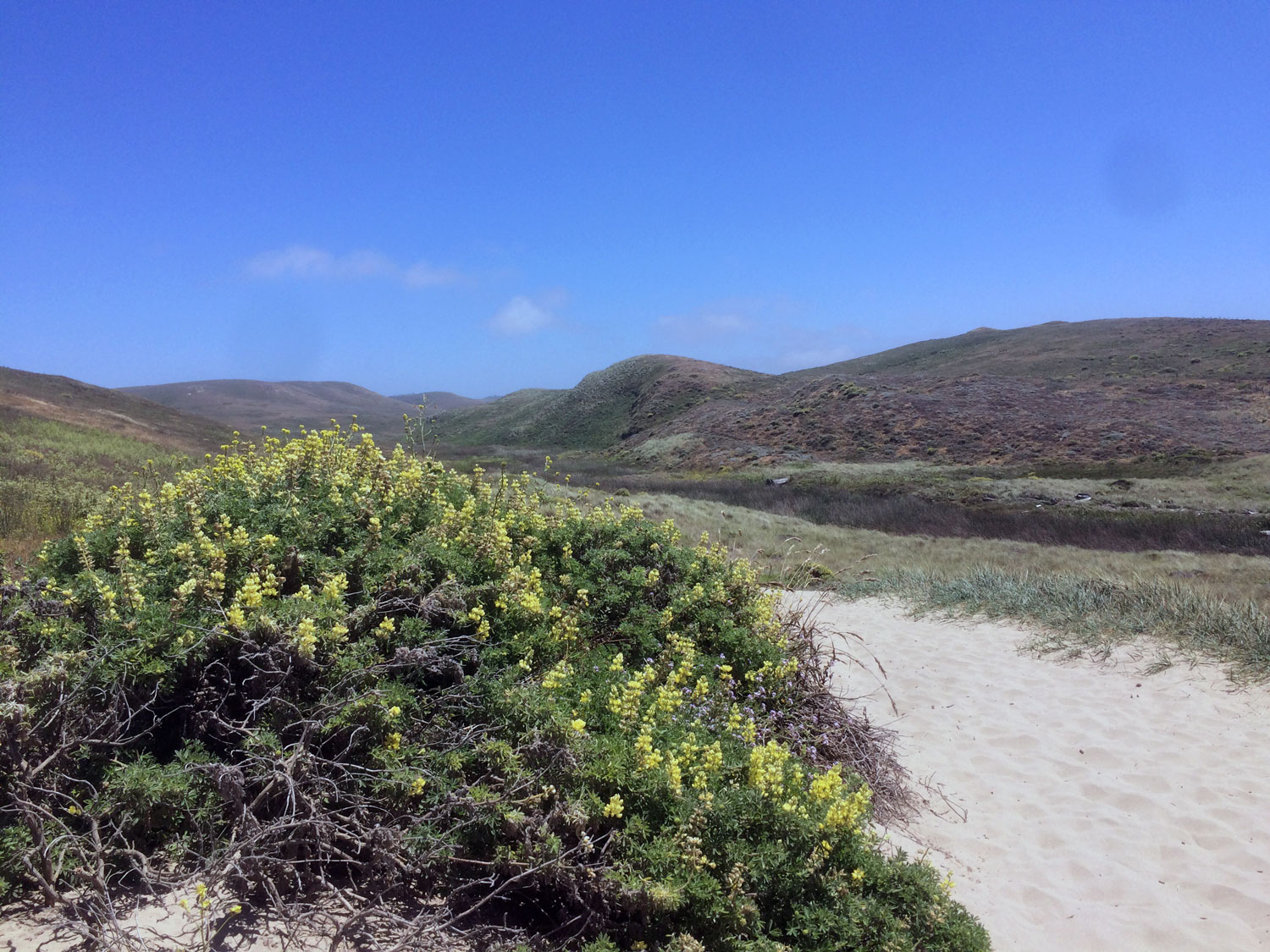
Spring wildflower trails
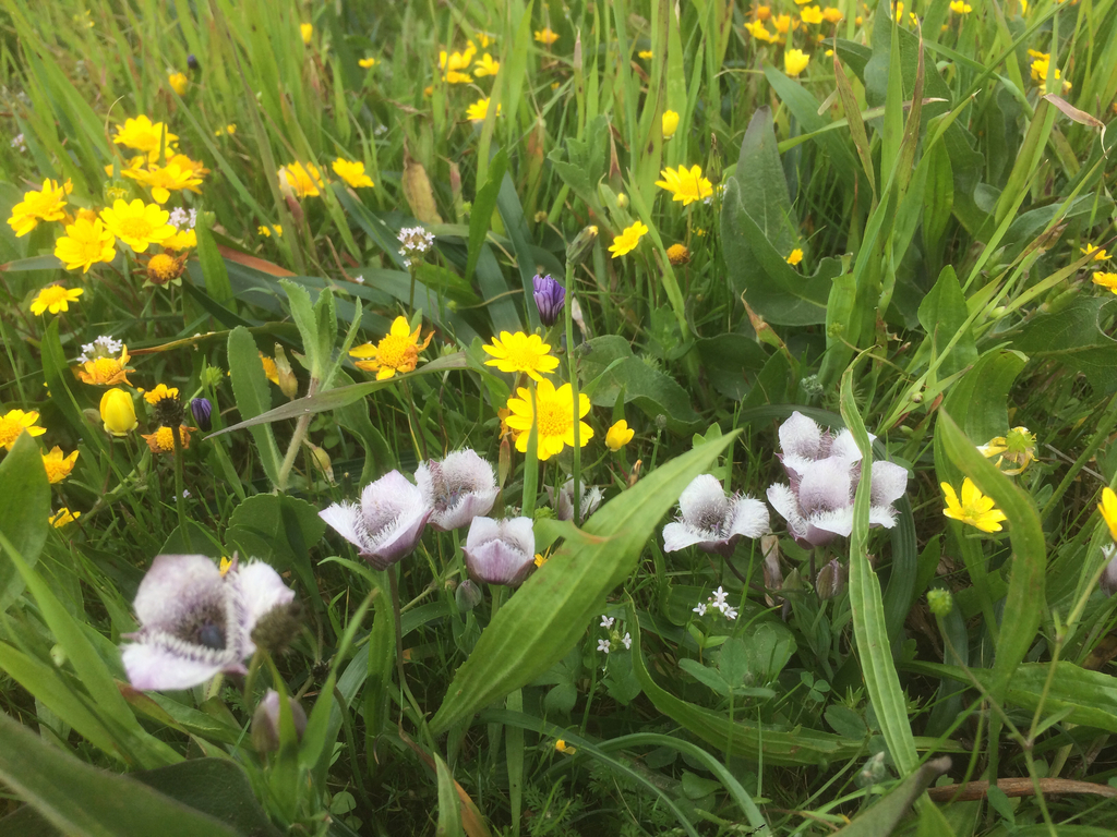
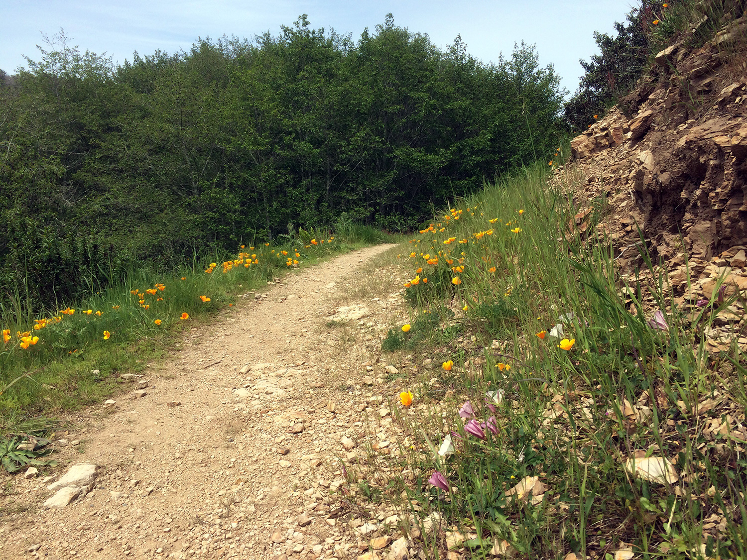
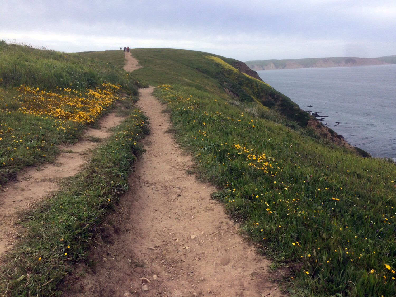
Surprisingly, the the best trail in Point Reyes for spring wildflowers is a trail with heavy foot traffic, the Chimney Rock Trail. Small, delicate pussy ears sprout among the taller buttercups, checkermallow, and iris.
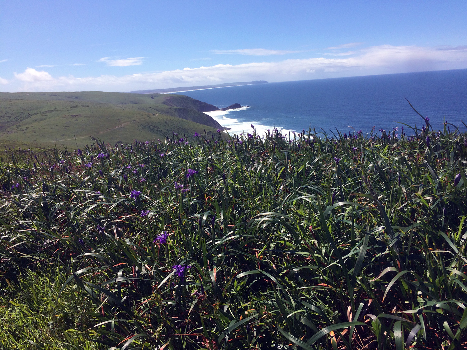
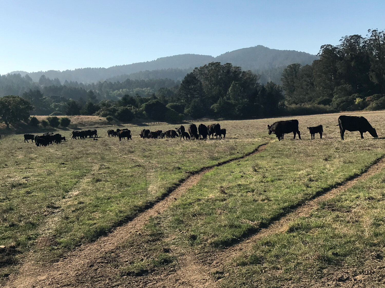
The Tomales Point Trail is a gem for its large carpets of vibrant purple iris, and fields of sunny buttercups, poppies and goldfields. As an added bonus, it’s less foggy in the spring opening up panoramic views of the ocean and Tomales Bay. And last but not least, Tule elk calves are born in the spring. Their moms hide them in the tall grasses and brush so they can be difficult to spot.
The Muddy Hollow Trail is a butterfly paradise. Pussy-Ears (Calochortus tolmiei), candy flower (Claytonia sibirica), California poppy (Eschscholzia californica), checker lily (Fritillaria affinis), blue dicks (Dichelostemma capitatum), Douglas iris (Iris douglasiana), Dwarf Checkermallow (Sidalcea malviflora), Western Blue-eyed Grass (Sisyrinchium bellum) and many other flowers carpet the areas surrounding the trail. True to its name, be prepared for large areas of muddy trail, particularly toward the Limantour Beach end.
Best views of the ocean
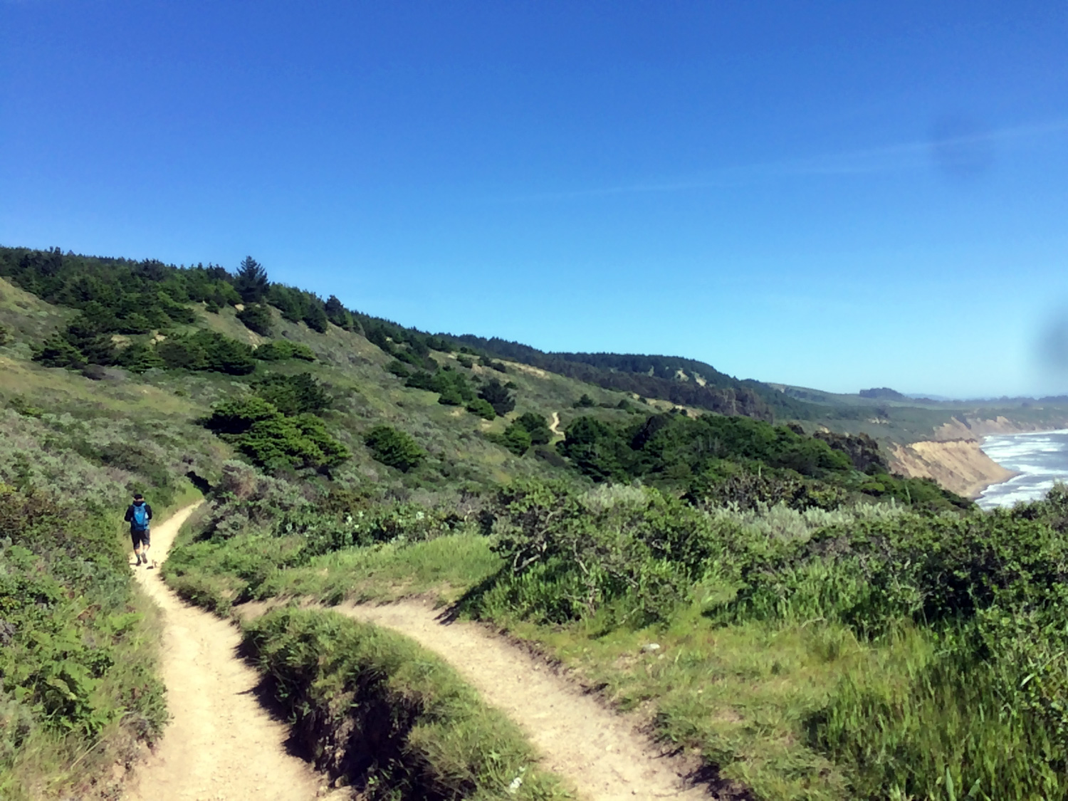
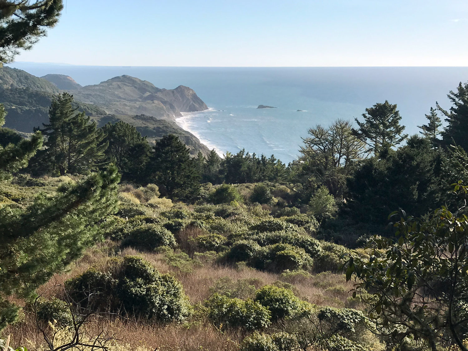
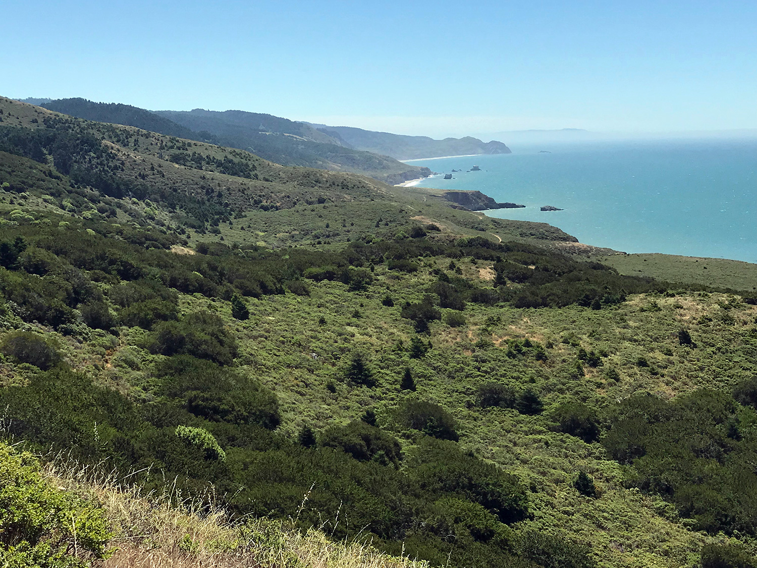

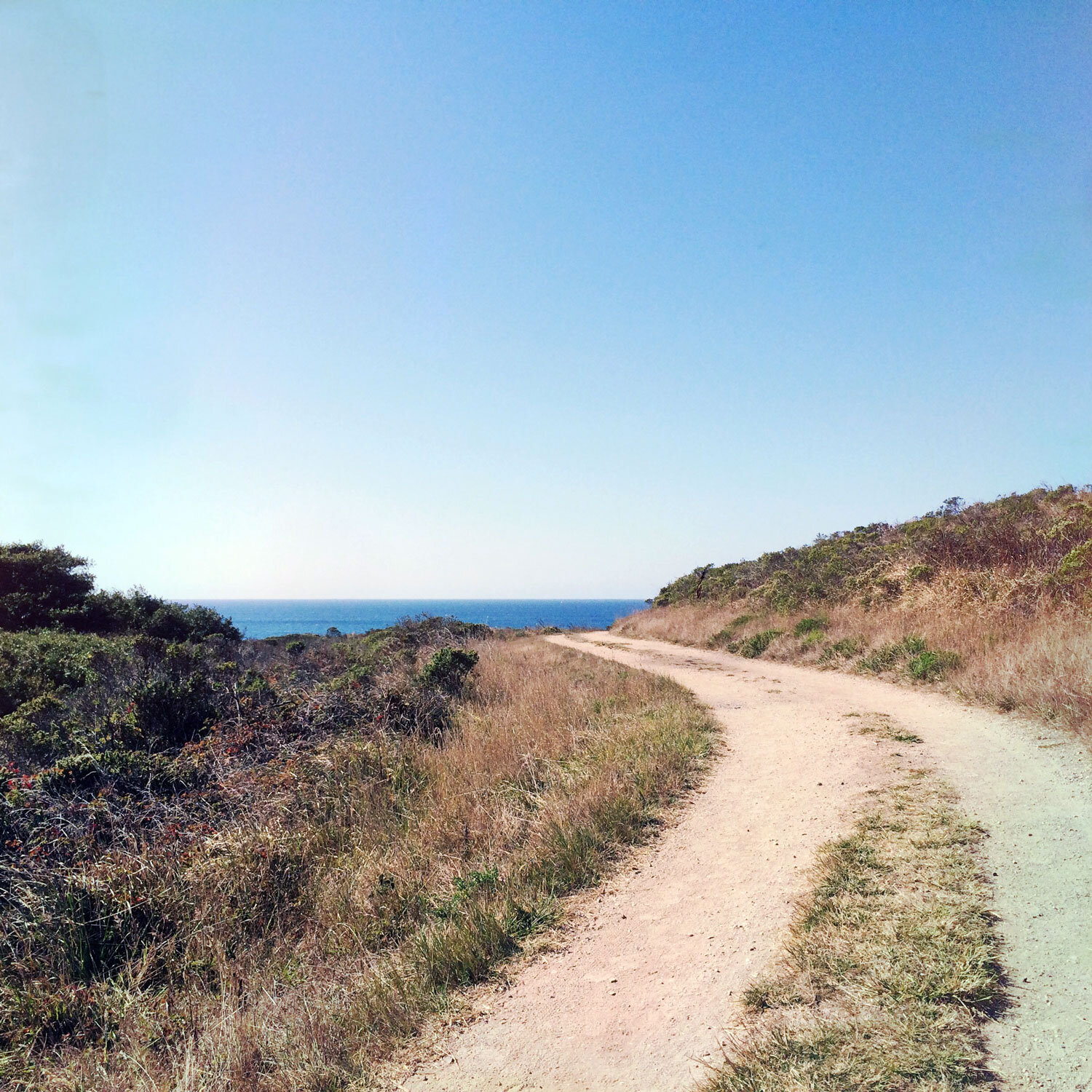
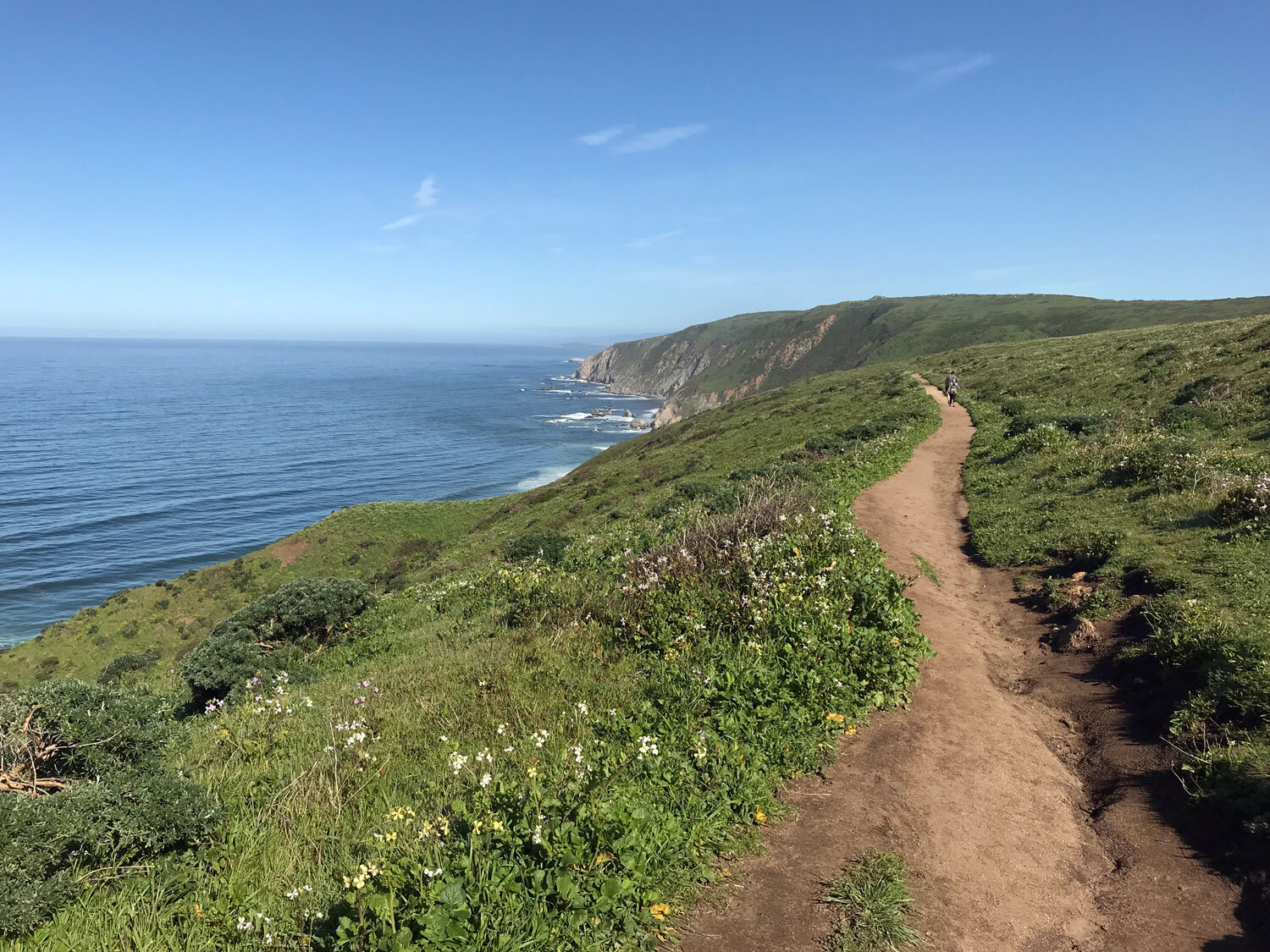
Several trails offer spectacular ocean views — the Palomarin Coast Trail (southern end of Coast Trail) and many parts of the entire 15.5-mile Coast Trail follow the coast line.
The Woodward Valley Trail which leads from the Sky Trail to the Coast Trail offers the best view of the entire peninsula coast line. It’s breath-taking unless of course you get unlucky and encounter heavy fog that obscures the view.
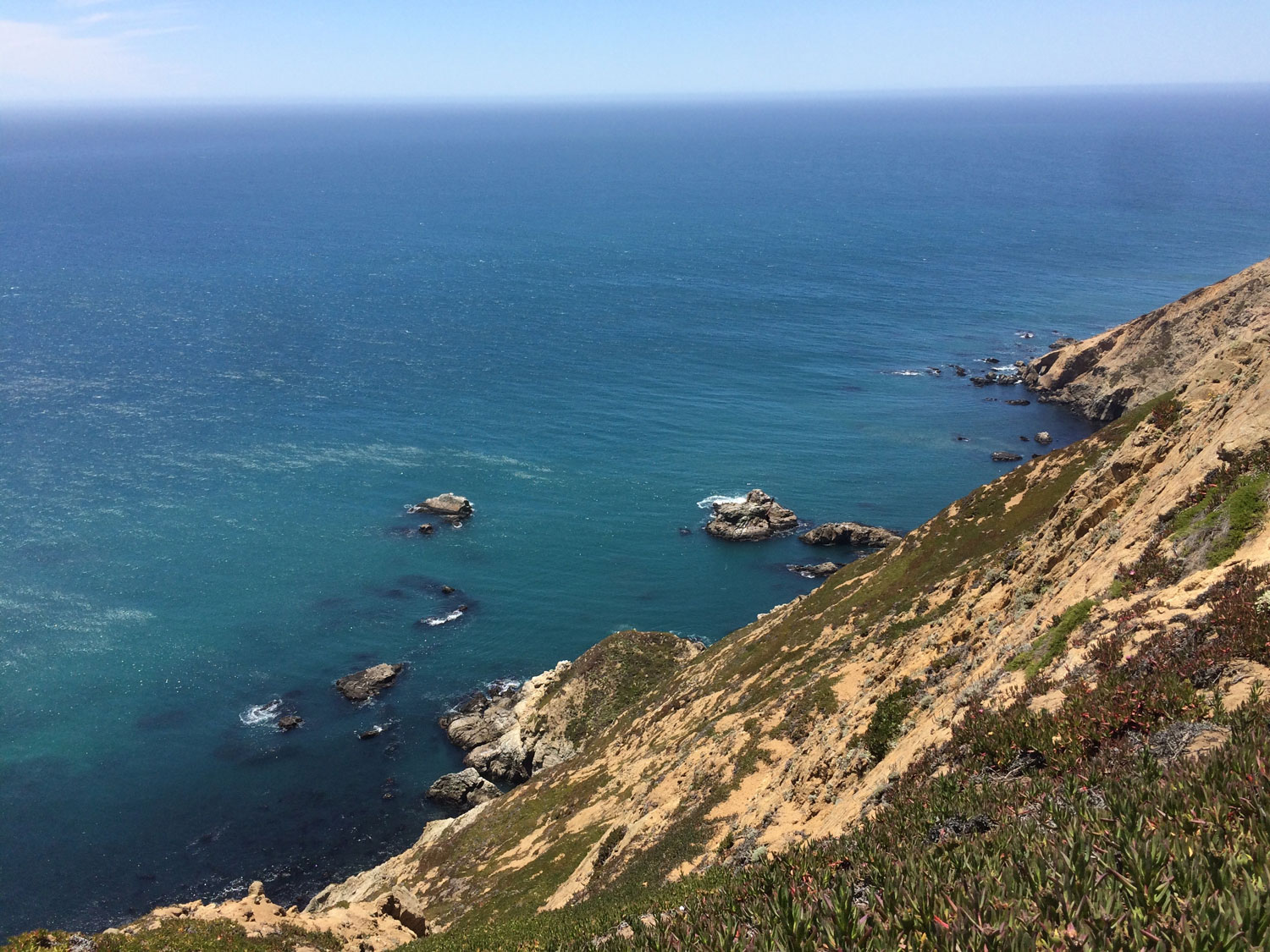
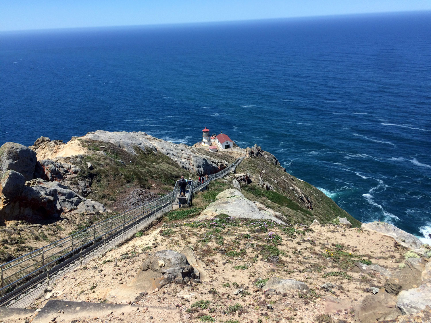
The Lighthouse offers views to the northwest of the great beach and views to the southeast of Drakes Beach, Limantour and beyond. Nearby, the Sea Lion Overlook provides dramatic views of the sheer cliffs and ocean. Bring binoculars to spot the namesake sea lions, elephant seals and other marine mammals and birds.
Chimney Rock has a bench at the end of the trail that overlooks Drakes Beach, Drakes Head, Limantour and beyond. It’s an excellent spot to watch for passing whales. From your perch jutting into the ocean, you will have a birds eye view of whales closer to shore (particularly mothers and calves heading north in the late spring) and whales farther out to sea.
Short hikes
If you are looking for kid-friendly hikes, check out Hikes for Kids recommended by my son.
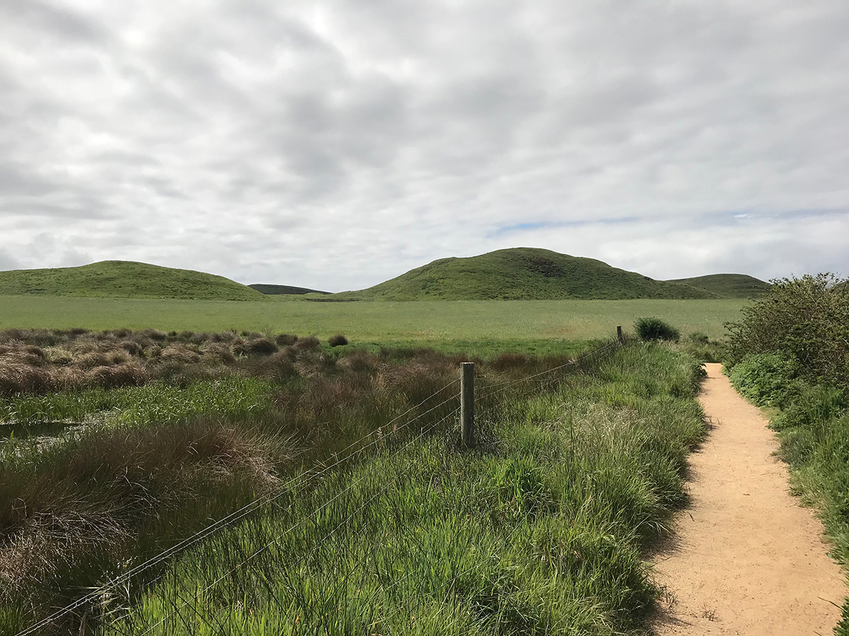
Abbotts Lagoon is my all around favorite hike in Point Reyes. It’s a relaxing stroll through several different landscapes from meadow to marsh to ocean. 3.6 miles out and back.
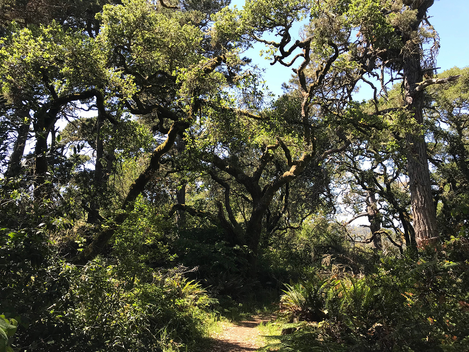
Jepson Trail is a scenic one mile hike through oak and bishop pine forests to Hearts Desire Beach at Tomales Bay. Return on the same trail or take the Johnstone Trail back for a slightly longer 2.6 mile loop. This is a sloped trail - you’ll descend to the bay, then ascend back to the trailhead.
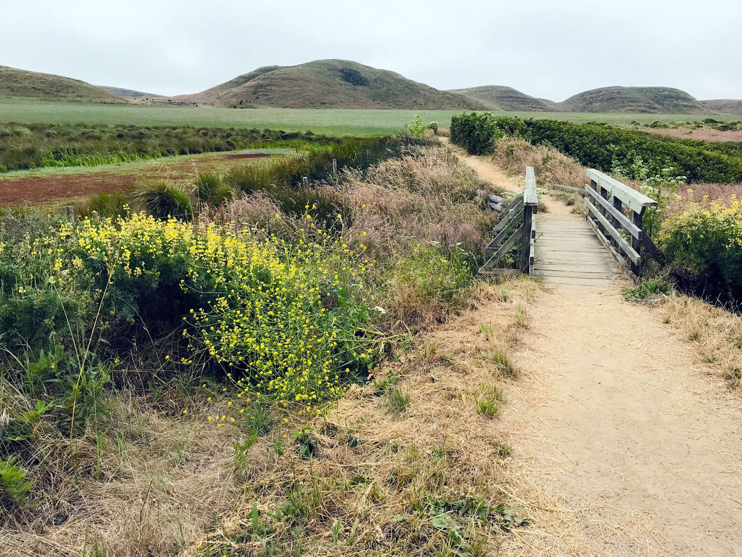
Tomales Bay Trail leads from highway 1 to Tomales Bay. It’s only a few miles from downtown Point Reyes Station. It passes through a meadow with several ponds along the way. It’s a mostly level trail with a small gradual downhill near the bay. 3.4 miles lollipop loop.
Hikes to the beach
McClures Beach Trail is a gem. You descend gradually into a canyon with a stream on the left and a sloping hillside on the right. The trail is decomposed granite and sand. You’ll need to park at the top of the road near the Tomales Point Trail and Pierce Point Ranch and walk a short distance to the trail.
Kehoe Beach Trail leads across coastal scrub with a marshy area on the left, a great place to spot wildlife. This is one of the few trails in Point Reyes where dogs are allowed (on leash) and it’s a favorite with dog-walking locals.
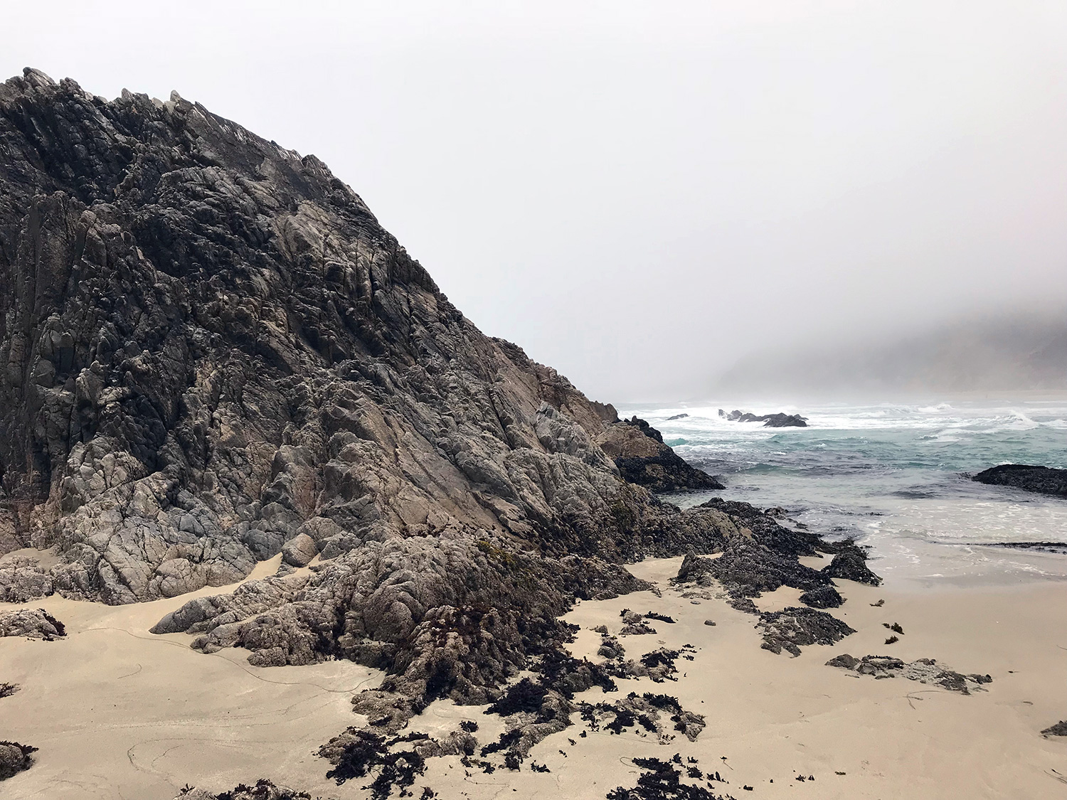
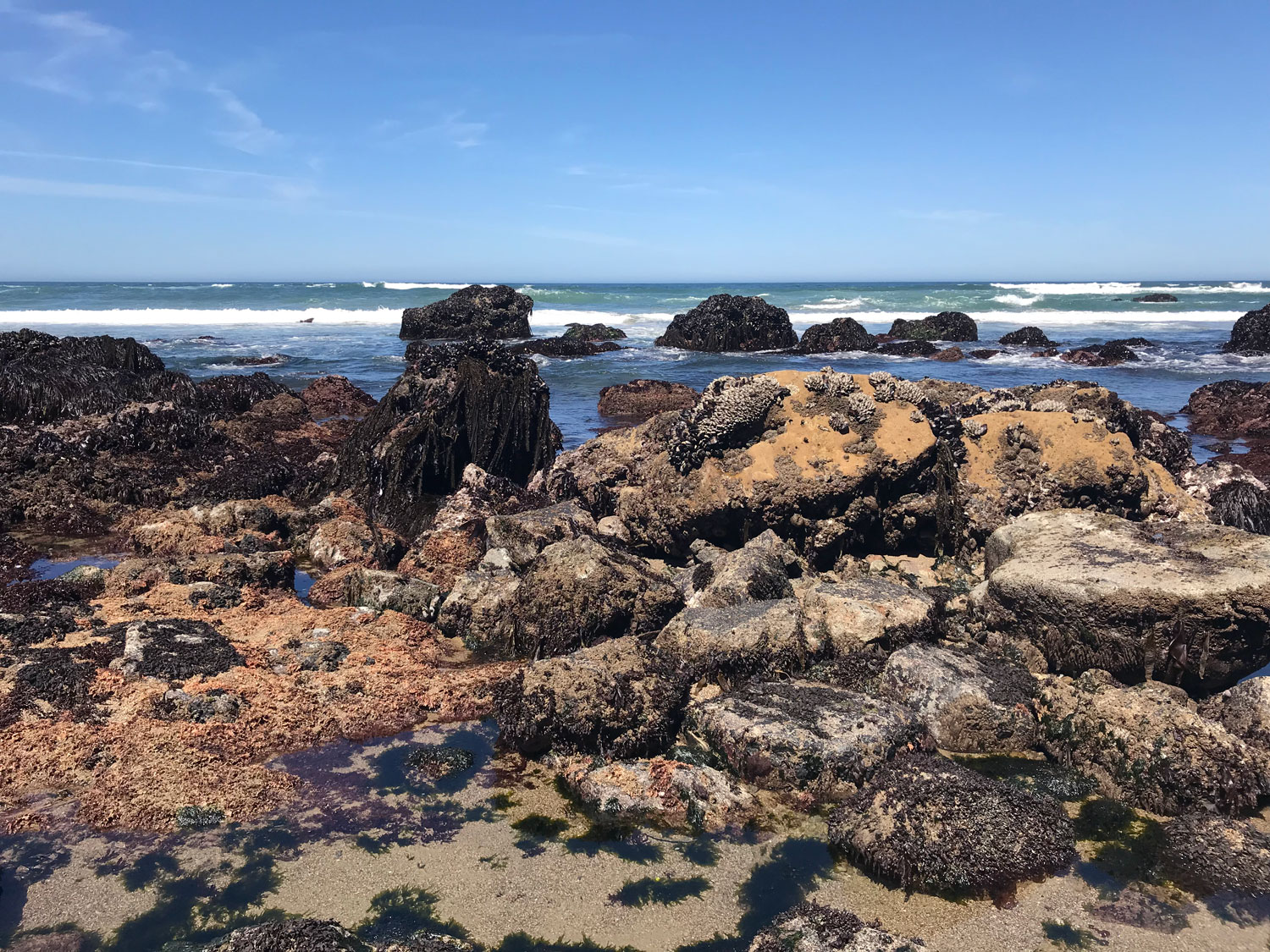
Tide Pools
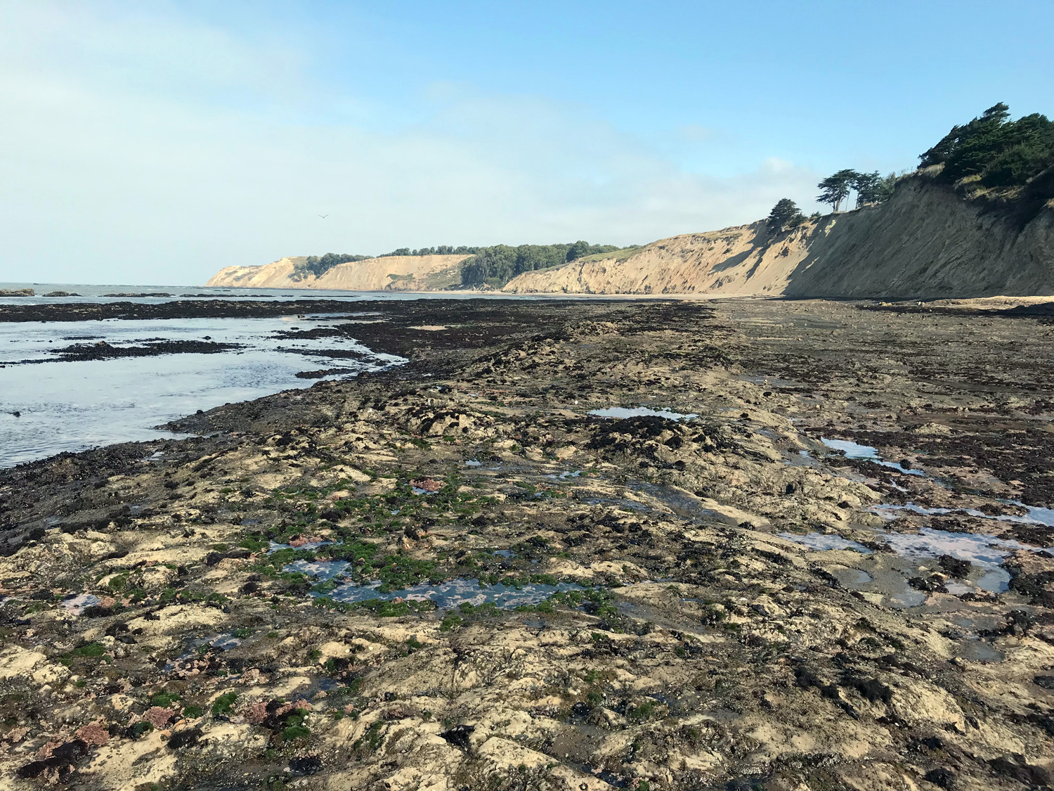
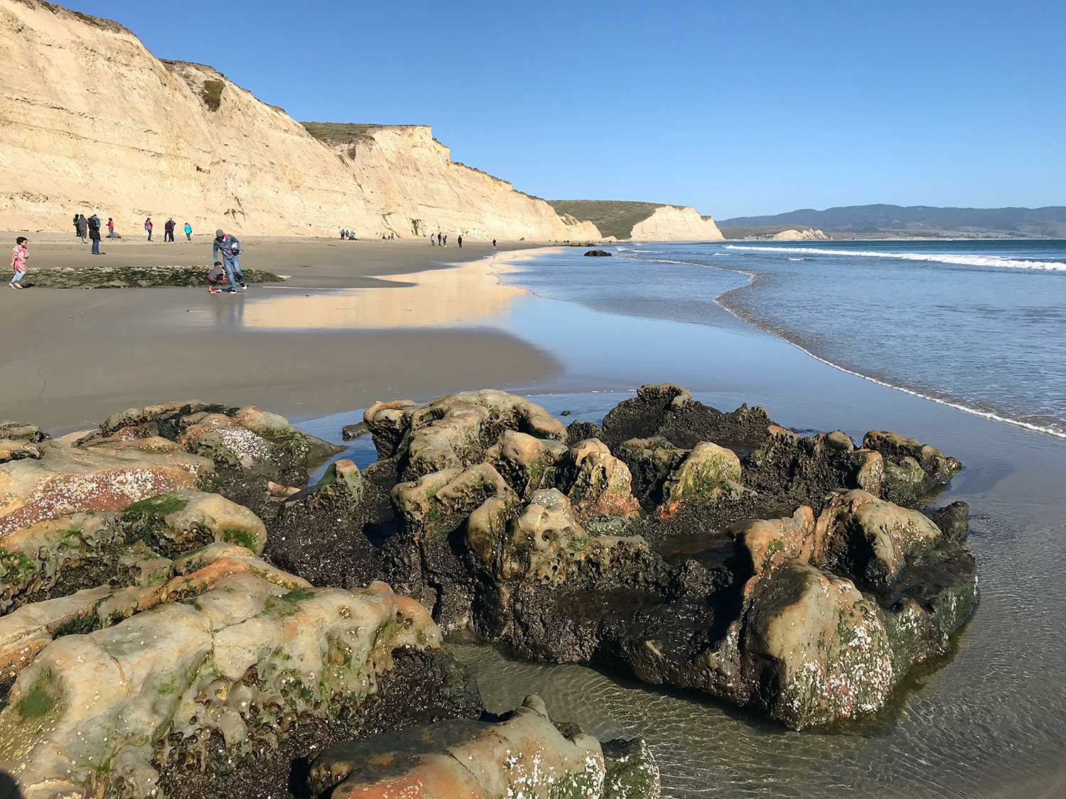
Duxbury Reef at Agate Beach in Bolinas has the best tidepools in Point Reyes. There’s a parking lot, portable toilets and easy access to the beach.
Palomarin Beach is a short 1.4 mile out-and-back hike from the Palomarin Trailhead to the rocky shore and tide pools.
Kehoe Beach has rocky tidepools at the north end. Turn right at the beach and hike about a quarter mile. If you’re lucky, you may see osprey nesting in the cliffs.
Drakes Beach (seasonal) has many lone rocky outcroppings scattered along both the north and south end of the beach. Powerful winter storms uncover the buried rocks and a month or so later they are covered in marine life again.
Shaded Trails
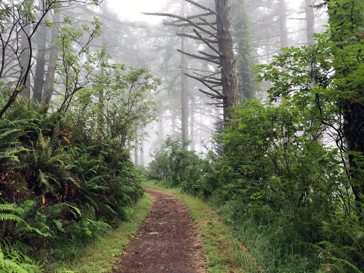


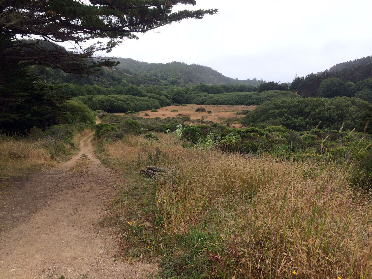
In the North district, most trails are fully exposed. As you get closer to the Bear Valley area, you’ll discover the most beautiful shaded trails.
The Sky Trail is the quintessential shaded trail through a canopy of mist-filled bay, fir and oak trees. The fog is atmospheric and will fill you with awe walking through its quiet flow among the foliage. Don’t be surprised if a very gentle rain falls on you from the treetops on a misty morning.
The Bear Valley Trail (and many of the trails starting at Bear Valley) are shrouded in deep bay, oak and fir forests. A creek meanders along the trail and brings cool moisture into the air. The moisture is trapped by the steep hillsides on both sides of the trail and by the foliage above, making the air noticeably cooler. The Bear Valley Trail is a great choice for hot days.
The Horse Trail is dominated by magnificent bay trees whose aromatic fragrance fill the air. This is a great place to find mushrooms in the moist areas of the trail. This trail is a gradual incline from the Bear Valley area starting point to the Sky Trail.
The Inverness Ridge Loop is mostly shaded. The Inverness Ridge Trail, beginning at the Bayview Trailhead is fully exposed for about the first half of the 1.3 miles but then is mostly shaded forest for the remainder of the hike.
The Laguna-Bayview-Sky-Fire Lane Loop travels behind the Clem Miller Environmental Center through forest to the Sky Trail then loops back on the Fire Lane trail. The Fire Lane Trail begins in the forest and emerges into exposed coastal scrub for the final leg back to the Laguna Trailhead.
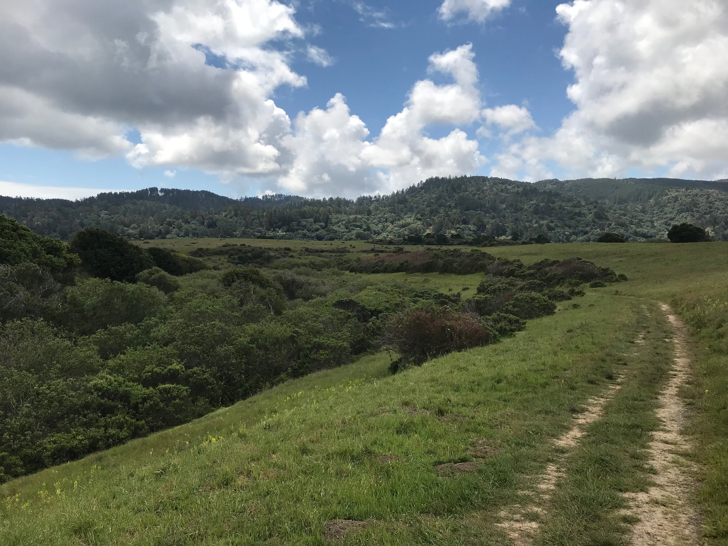
In the South district, most trails are shaded with a few sunny exceptions including most of the McCurdy Trail, some of the Randall Trail, and the first 6.2 miles on the north end of the Bolinas Ridge Trail up to the Randall Trail.
The Greenpicker Trail runs parallel to the Stewart but dips deeper into the forest. The trail is mostly shaded and passes through serene forests of oak, Douglas fir, bay and maple. Pair it with the Stewart Trail or the Five Brooks Loop for a shaded loop. In warmer months, watch out for yellow jackets. They love this trail. I have never had a problem with them, but I do avoid eating in areas where I can hear them buzzing so as not to attract their attention.
The Five Brooks Loop is almost entirely shaded. This 5.7 mile, mostly-shaded loop is a gradual ascent from Olema Valley to the top of the Inverness Ridge and back. Hike this loop in either direction.
Sunny Trails

When you are seeking some heat, try one of these trails.
Bolinas Ridge Trail (north end from Olema to Randall Trail)
Rift Zone Trail (from Bear Valley, first mile or so across the valley and pasture then it goes into the forest)
Estero Trail (to Sunset Beach or Drakes Head)
Muddy Hollow Road Trail (It’s in a valley that is often foggy but on sunny days it can be very warm.)
Full exposure but rarely hot

The northwest side of the peninsula is cool and frequently misty. On hot days, these are good trails to stay cool.
banner image: Sky Trail