
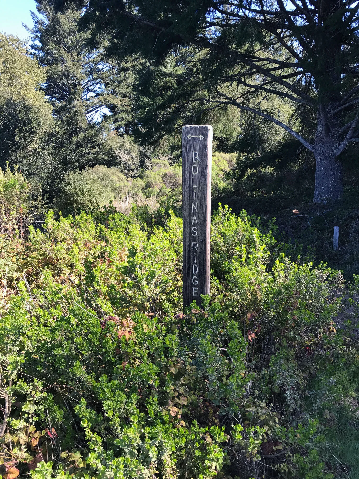
Bolinas Ridge Trail (North)
Trail length: North end: 6.2 miles, one way, from trailhead at Olema to Randall Trail (1.4 miles to the Jewell Trail, 4.8 miles to the Randall Trail)
Map: South District
Time: 3 hours one way, hiking 2 miles per hour
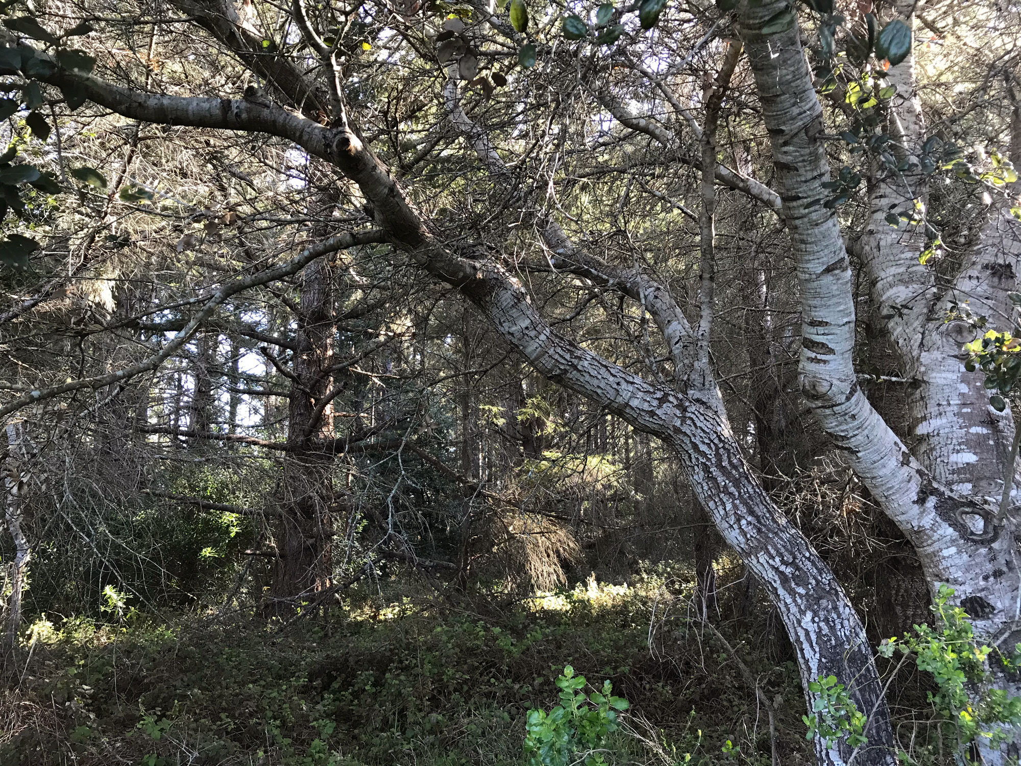
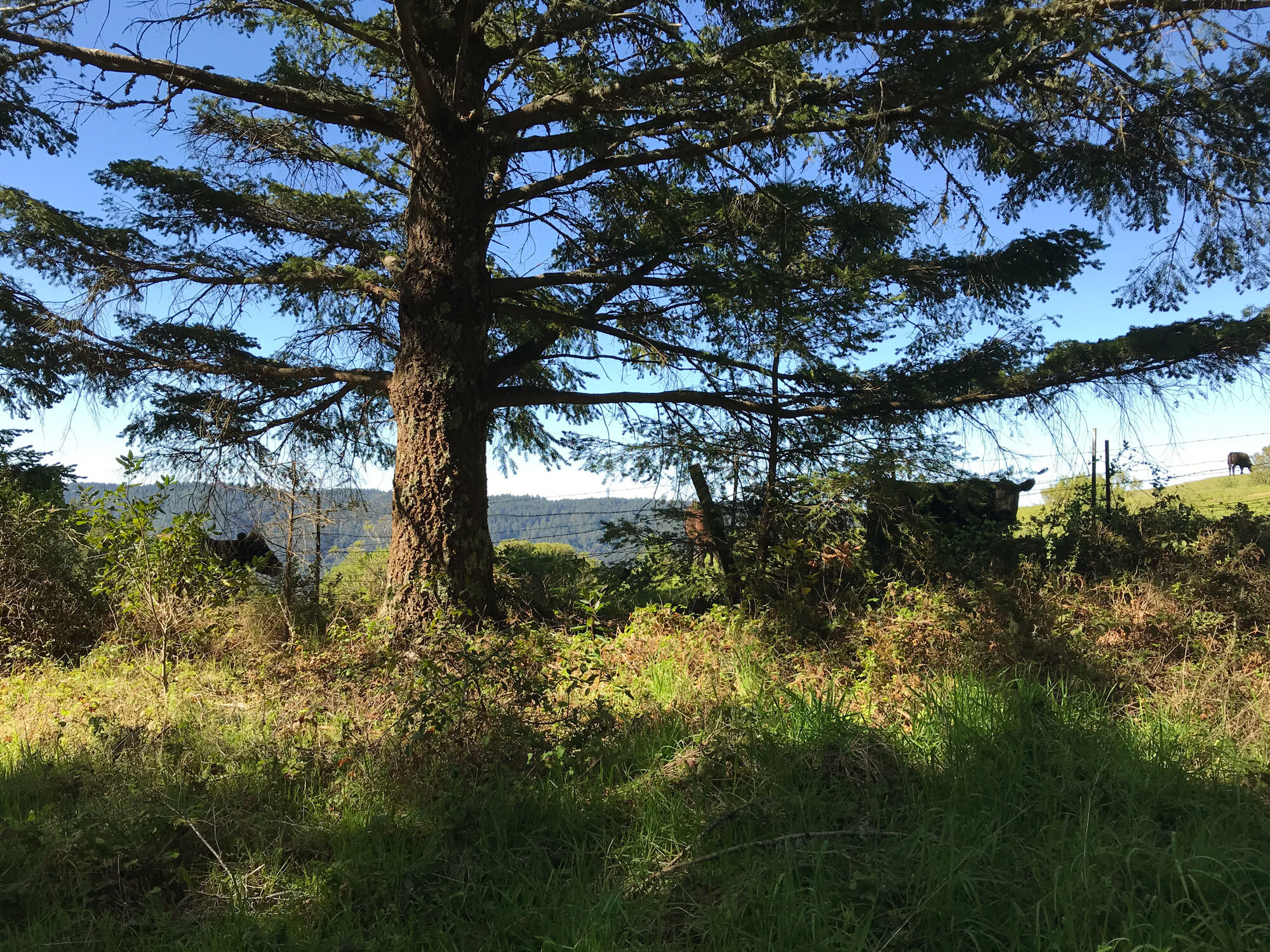
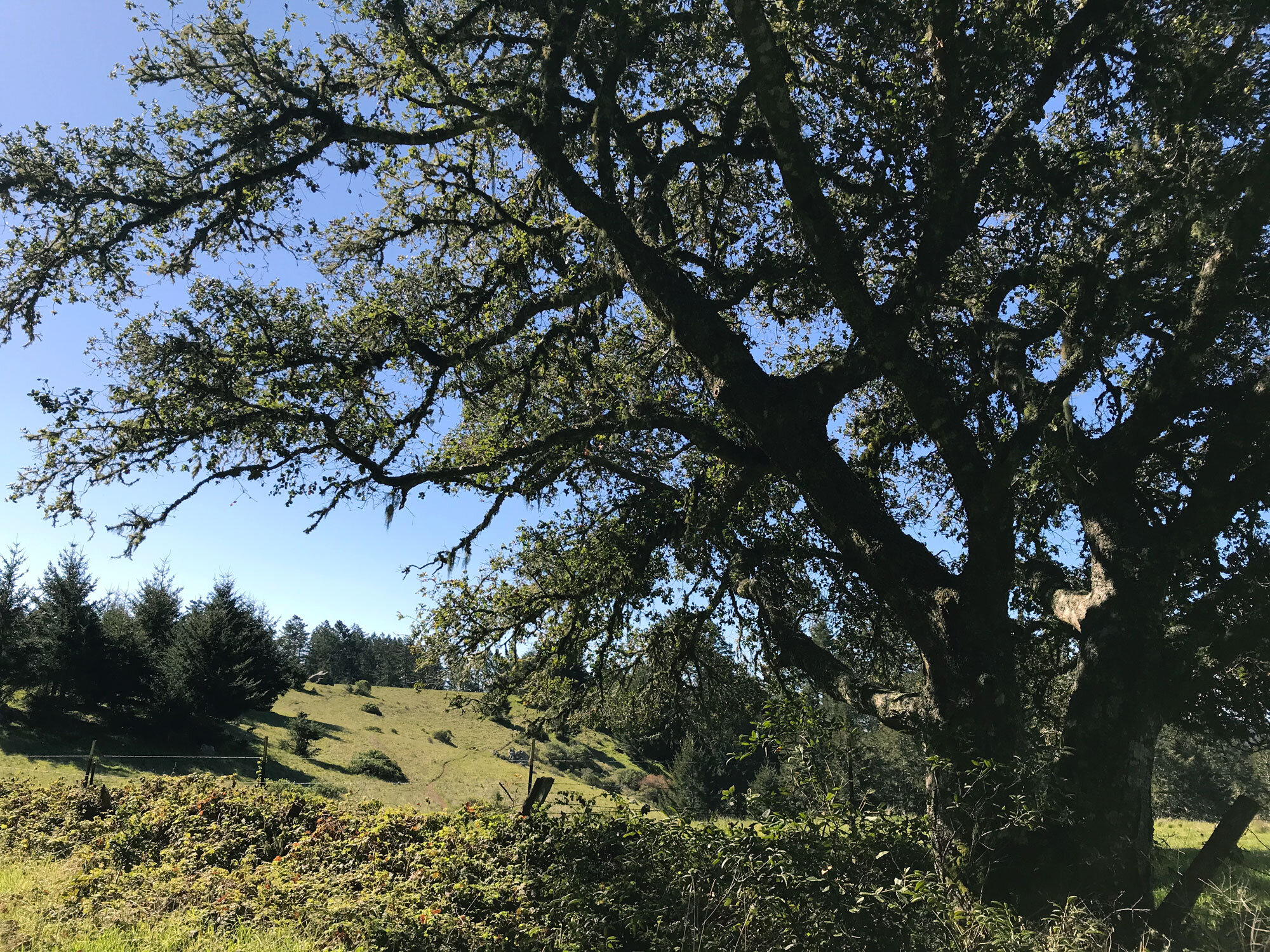
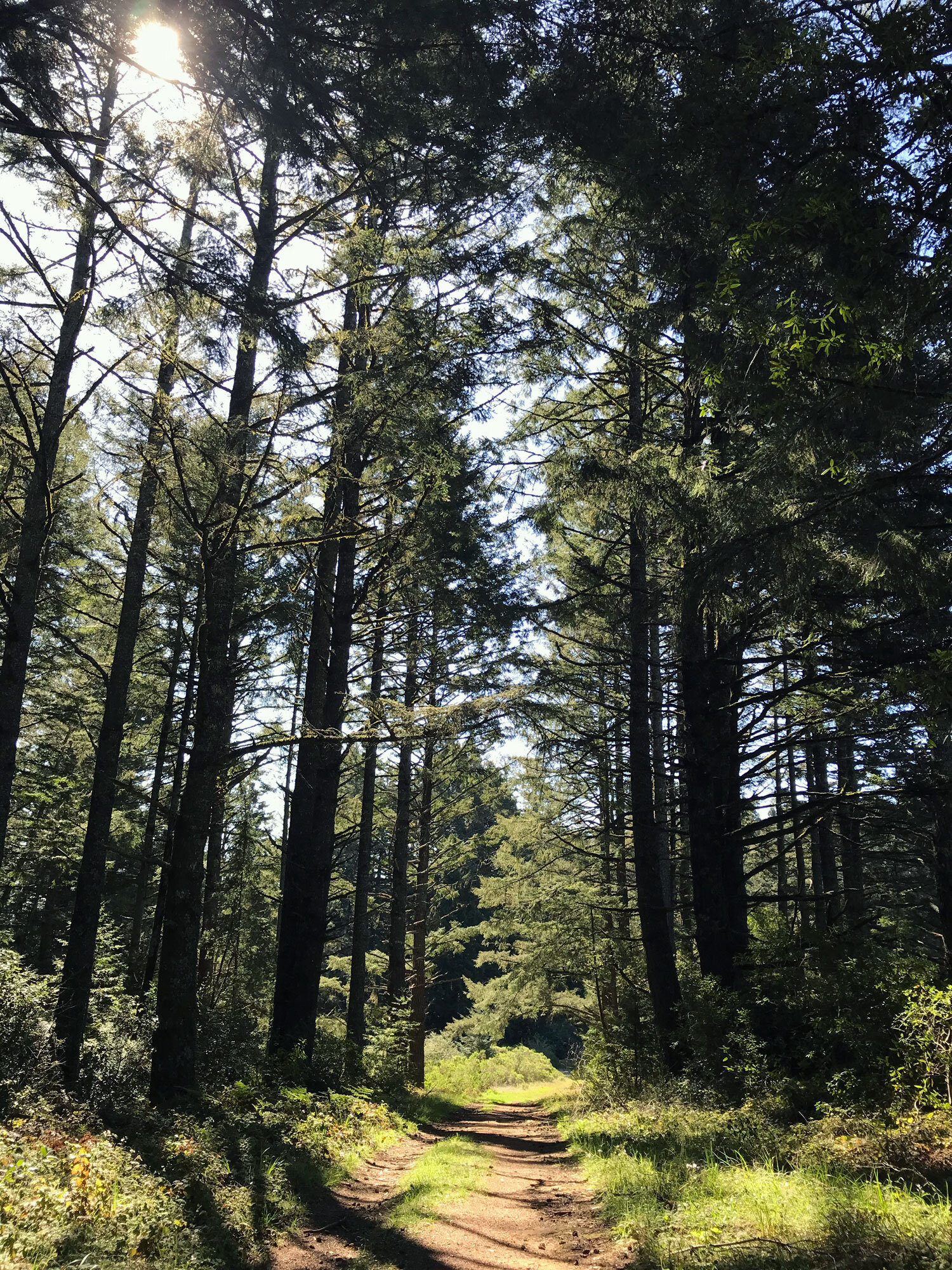
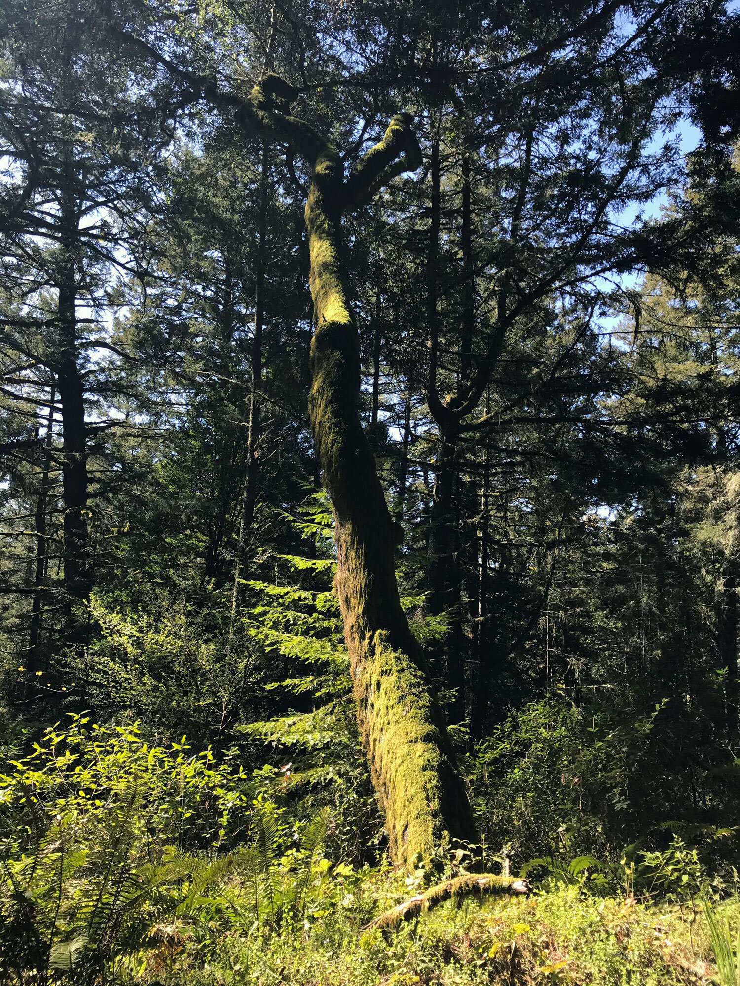
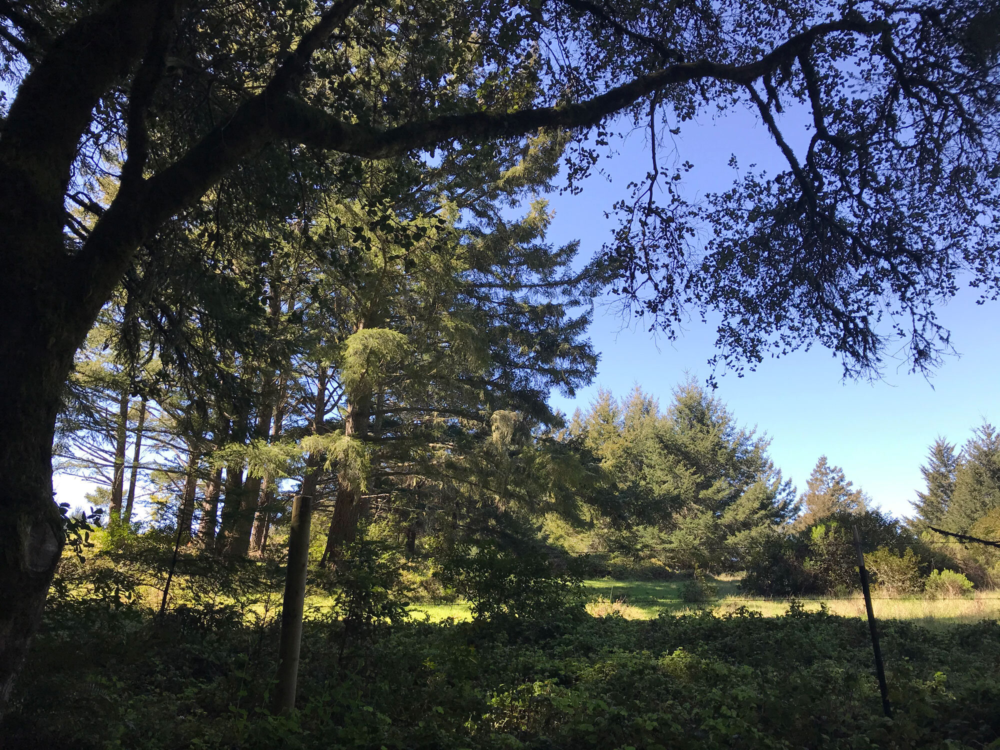
Terrain: sloped, grasses, pasture for most of the trail; mixed oak, bay and fir forest, redwoods at the Randall end
Restroom? No
Biking? Yes, it’s a popular biking trail
Dogs? Yes! on leash.
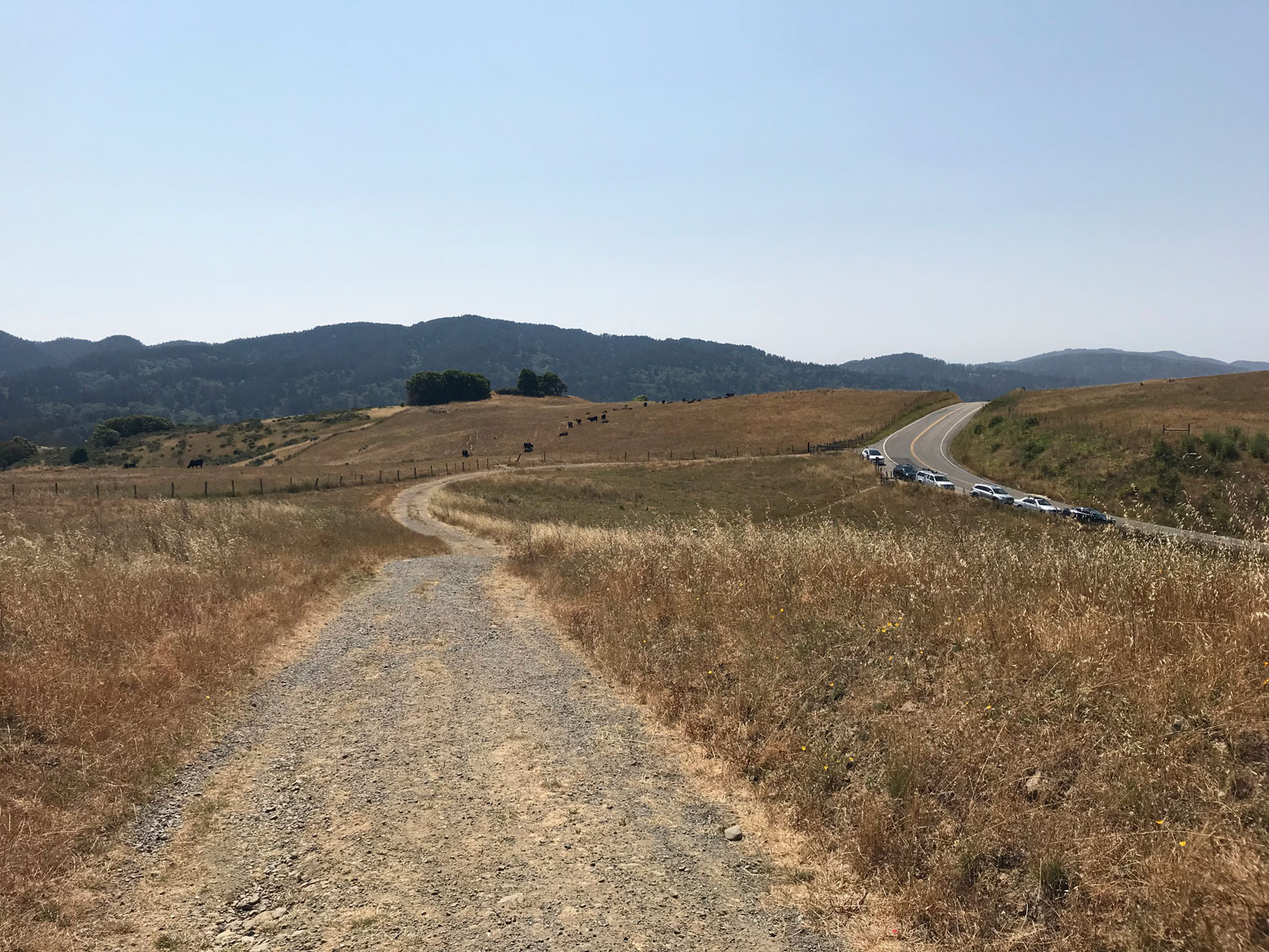
Parking: Along the road near the trailhead. Fills up early on weekends.
Dates visited: 7/5/19, 3/26/21
Plant list for Bolinas Ridge North from Marin chapter of California Native Plant Society
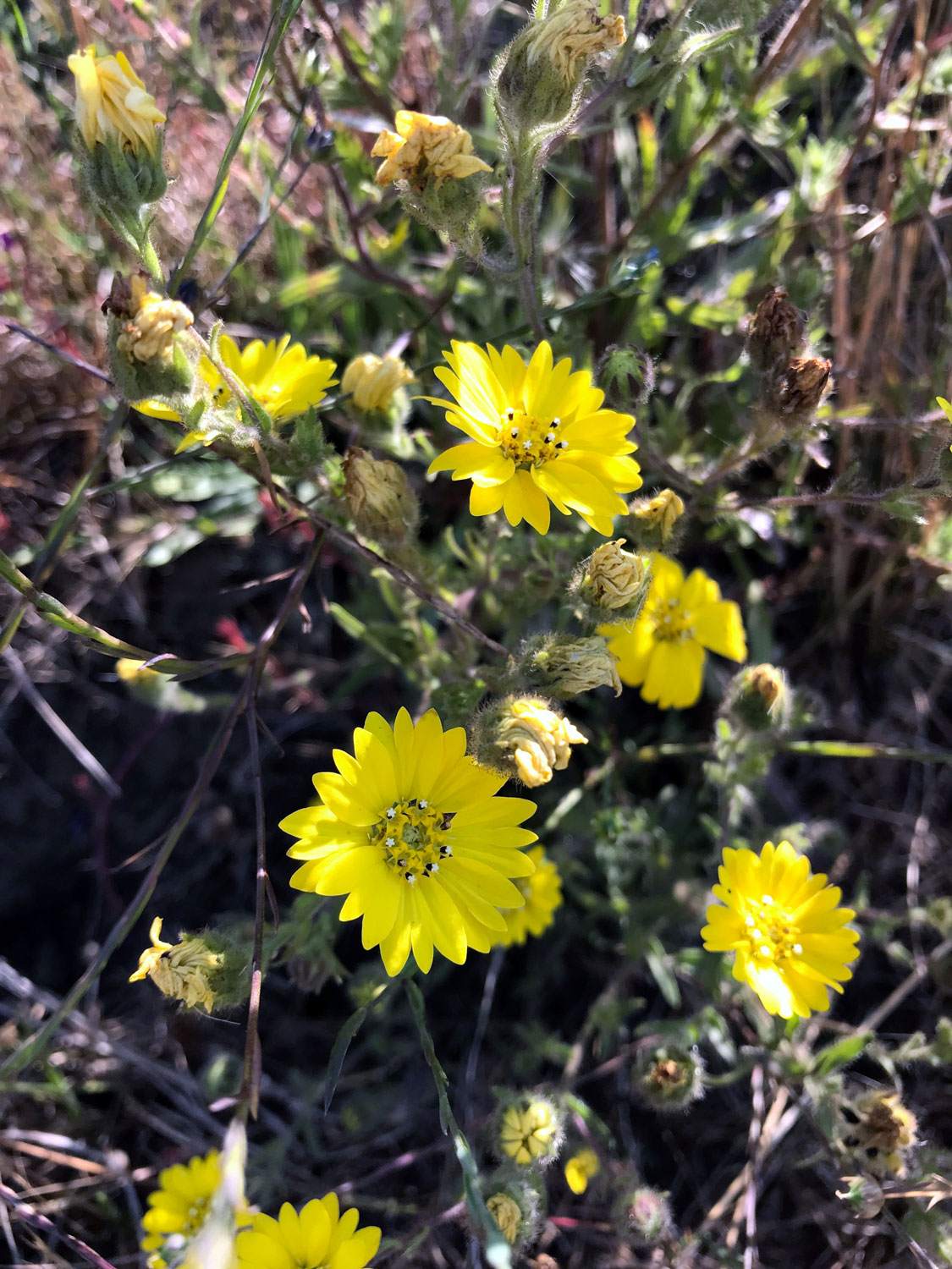
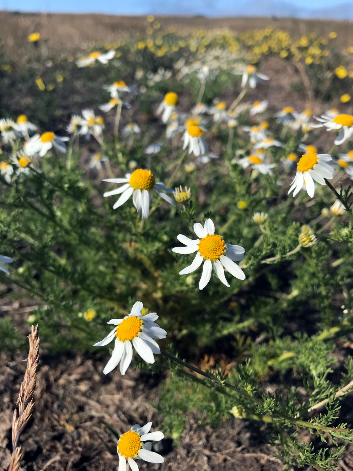
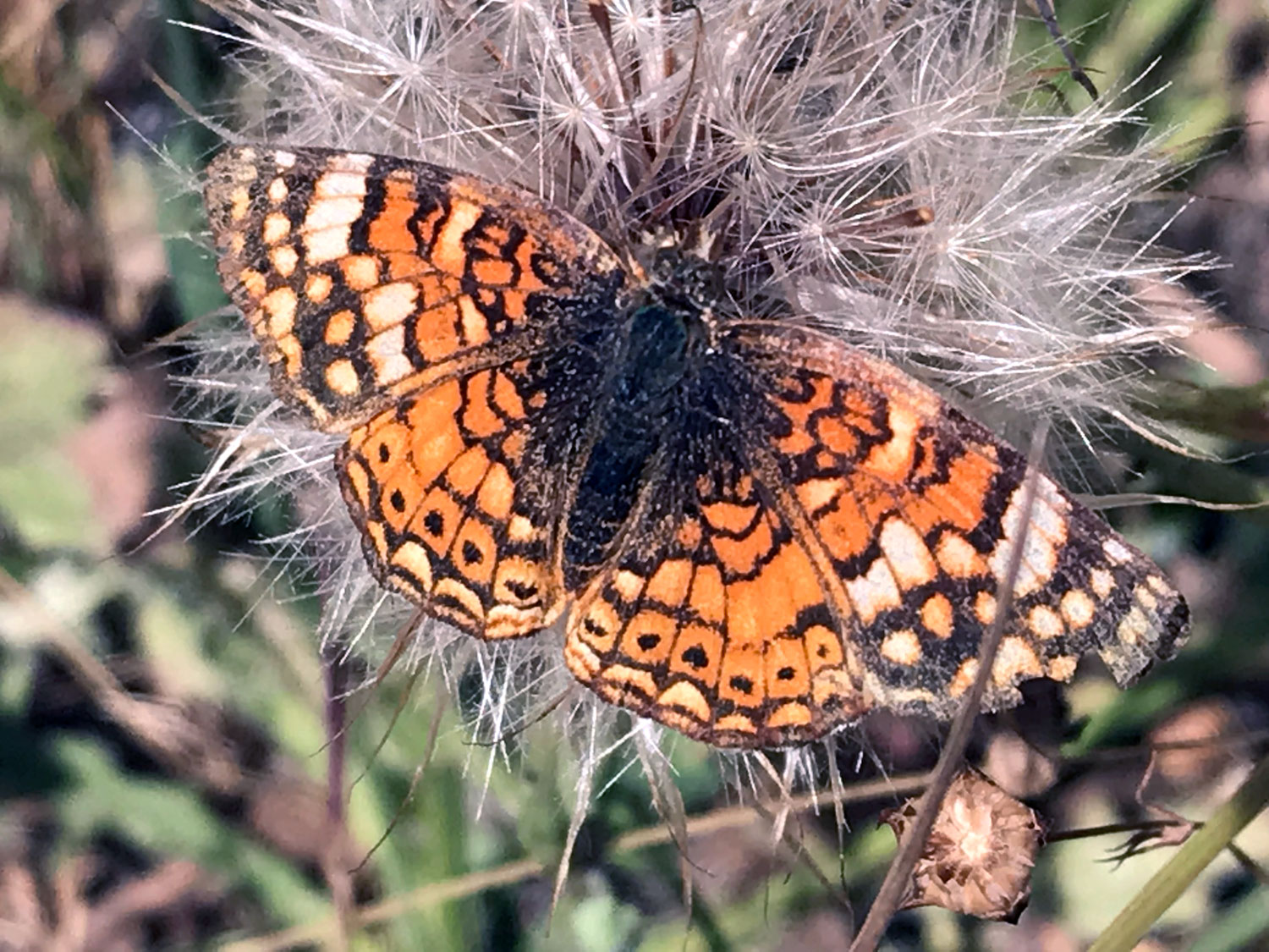
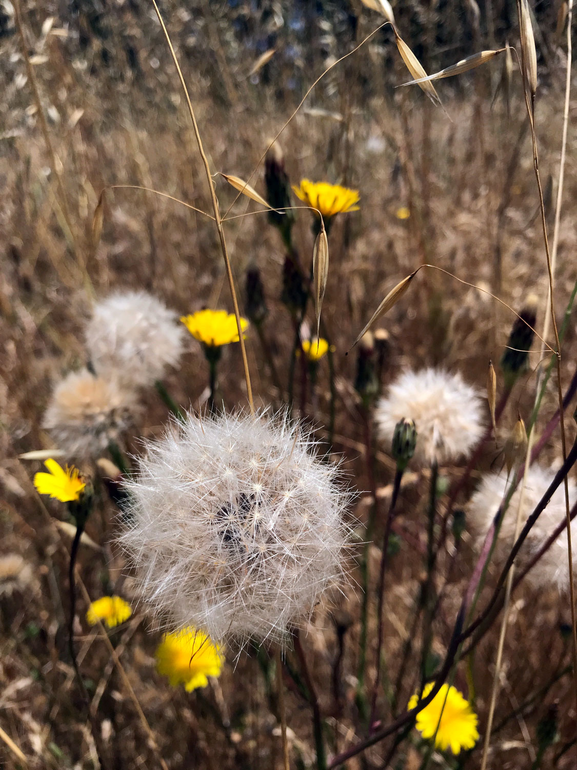
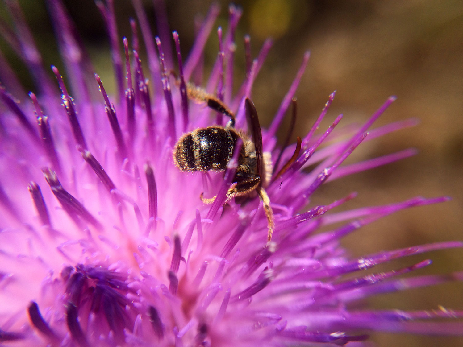
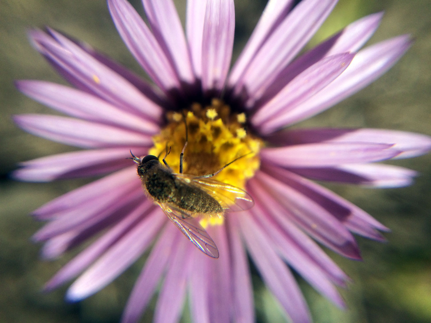
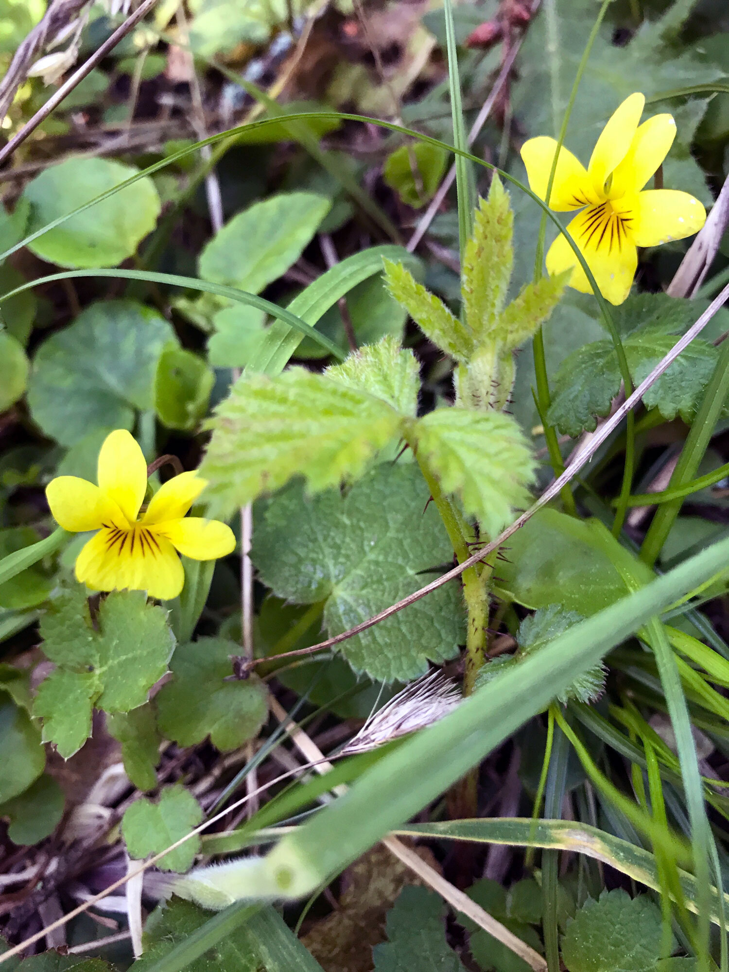
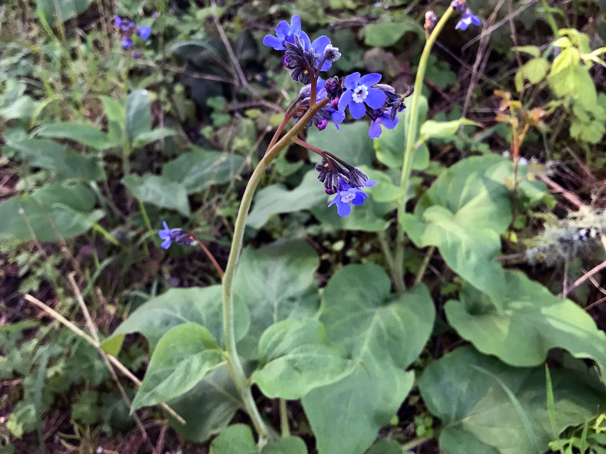
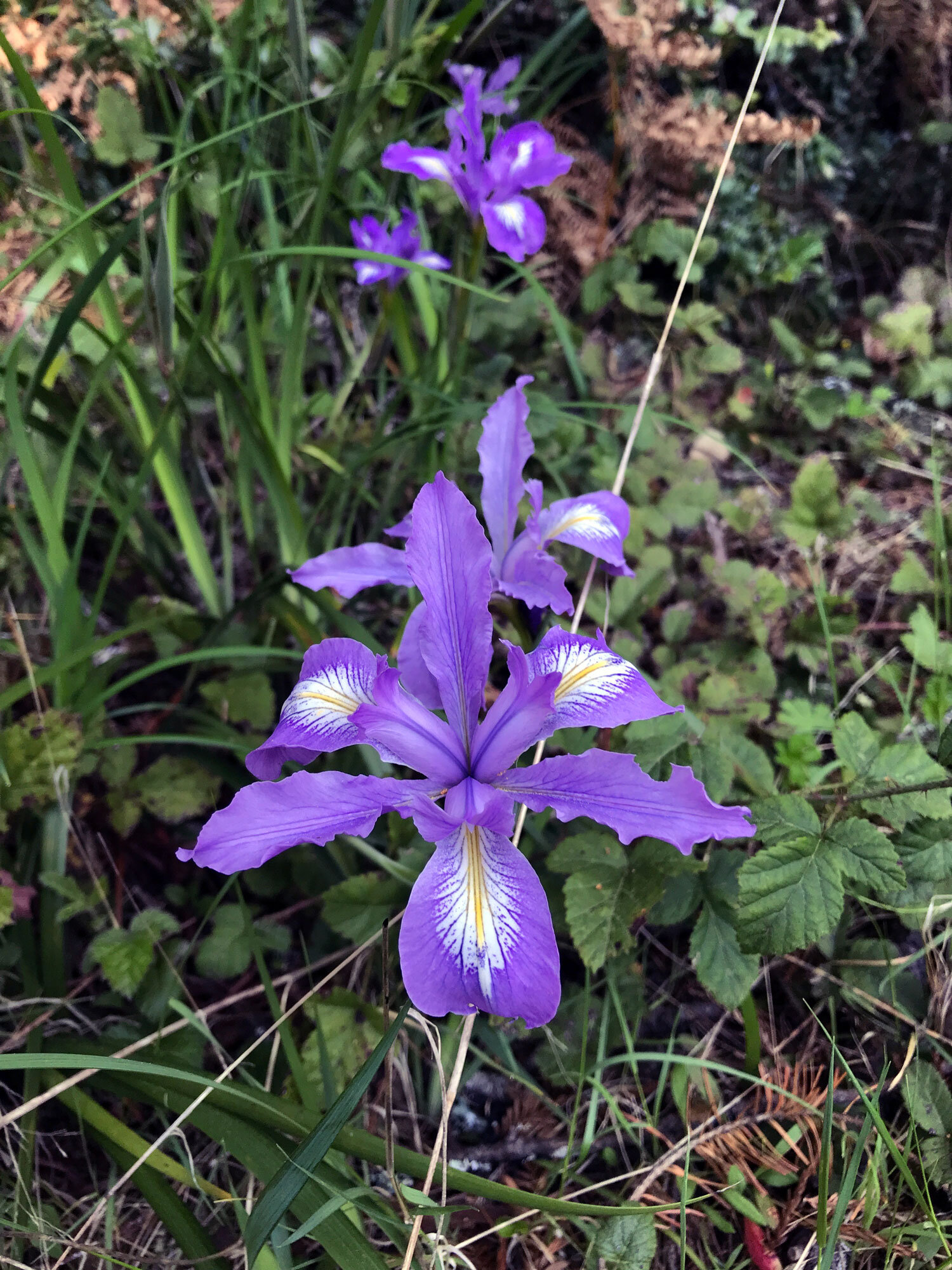
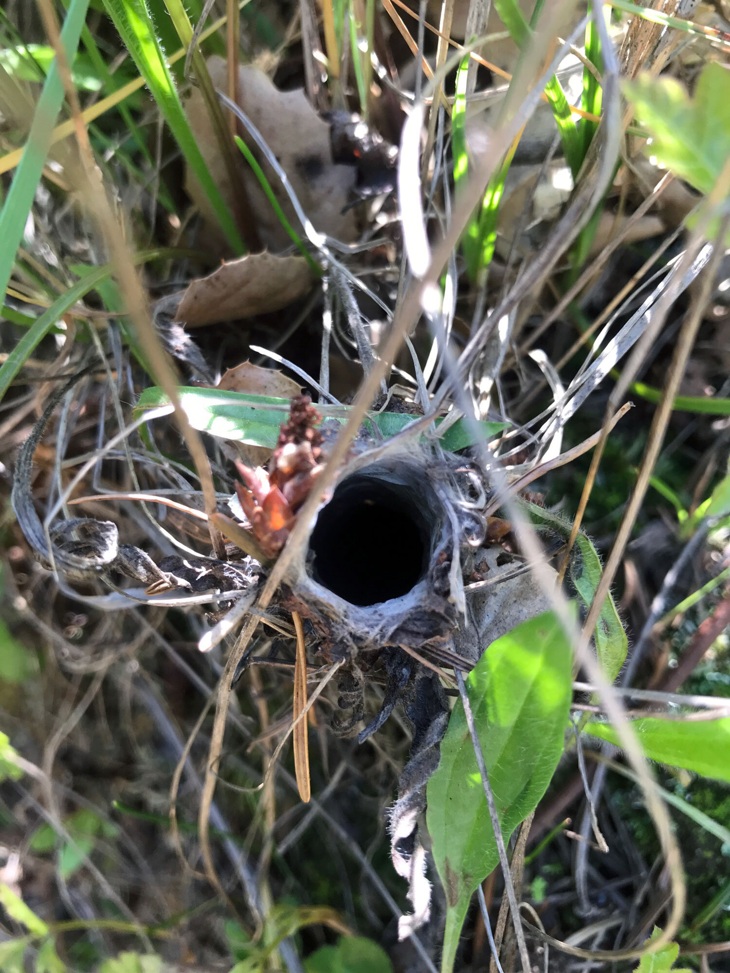
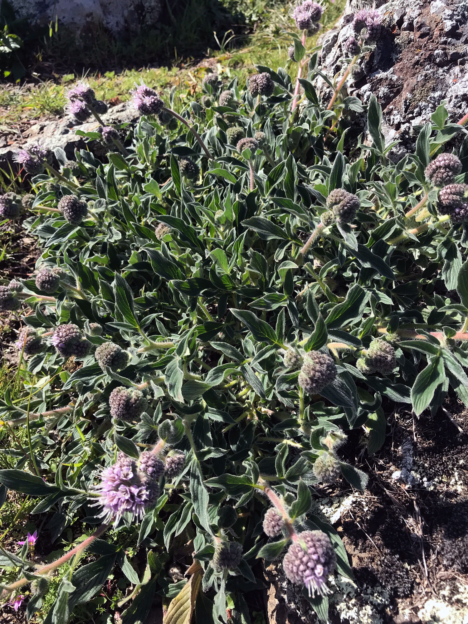
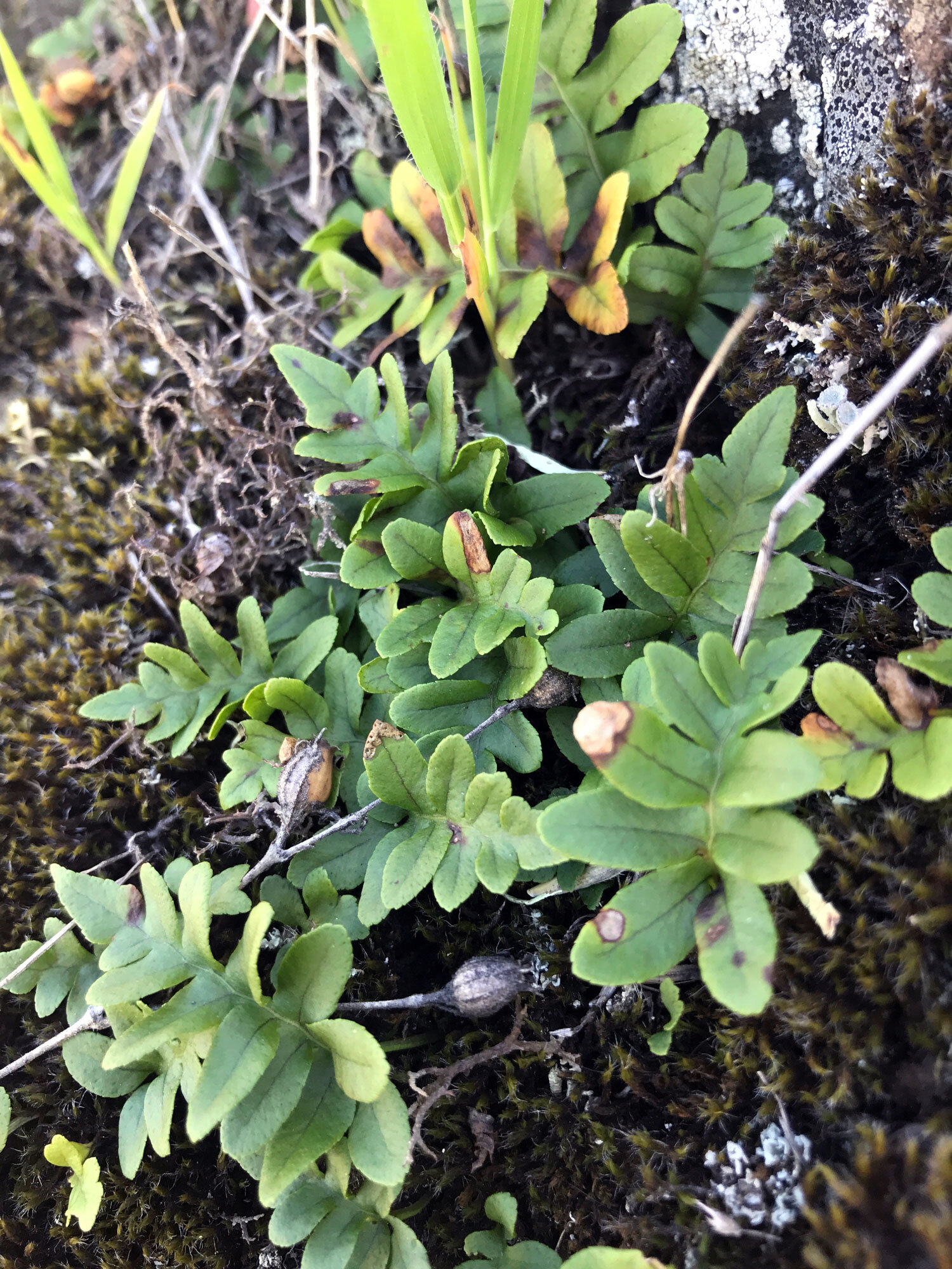
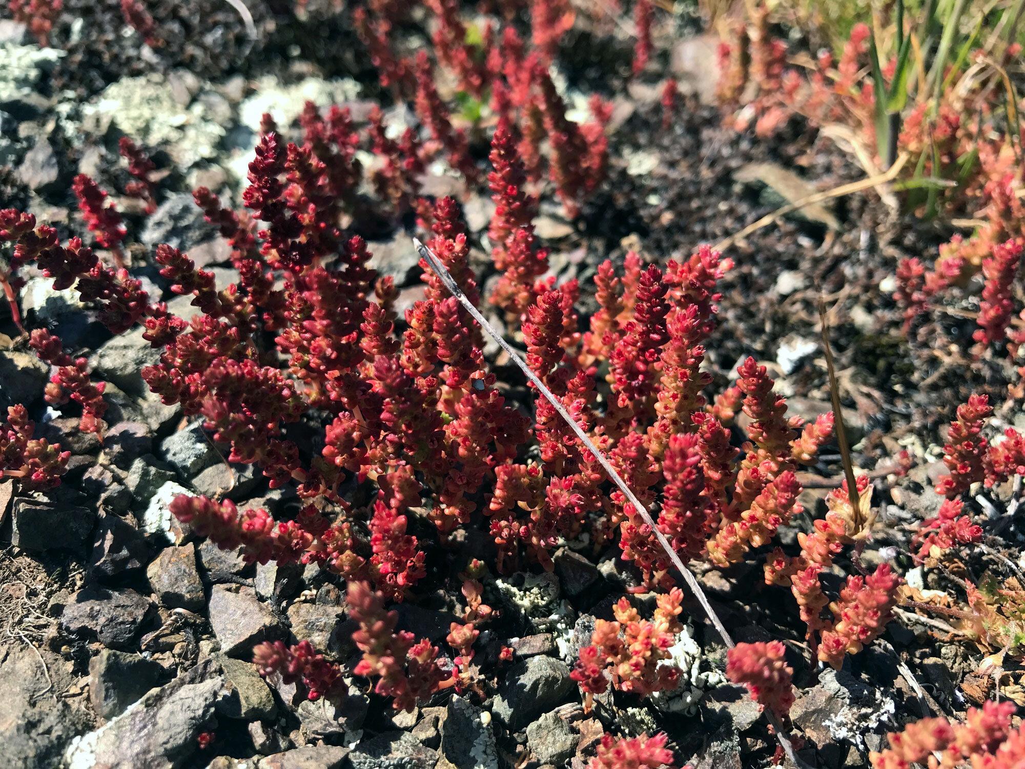
Favorite plants on this trail: Checker Lily (Fritillaria affinis), Tarweeds
Favorite spots:
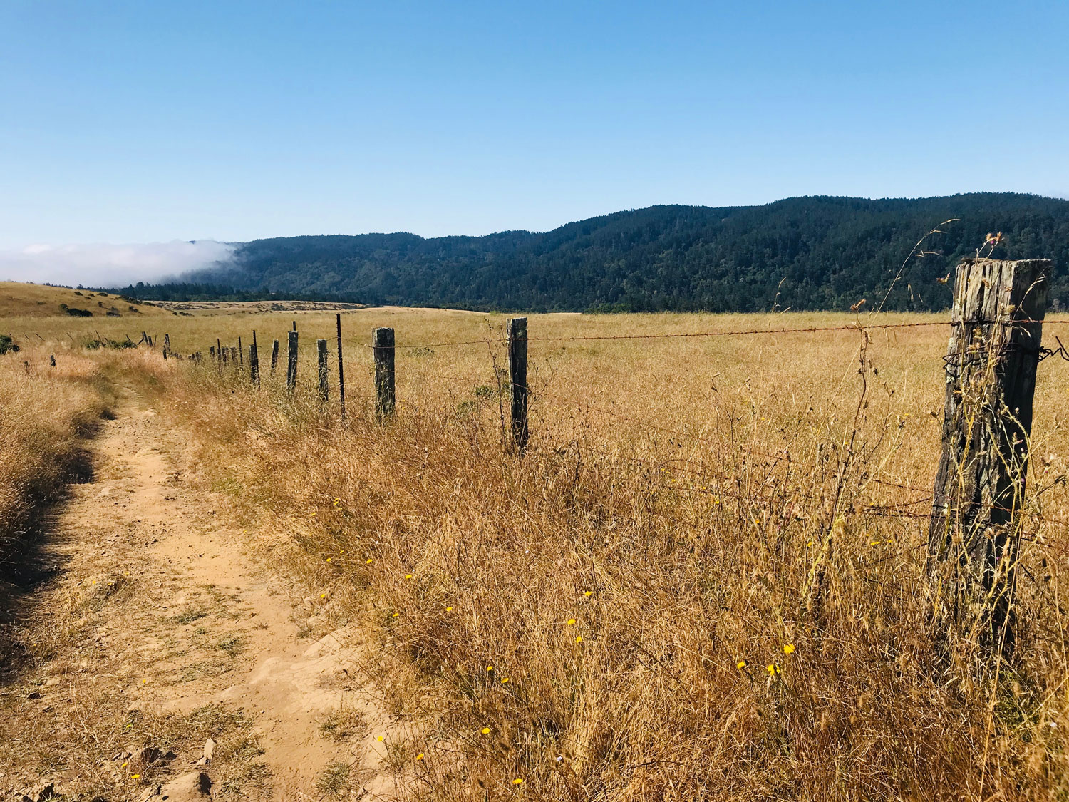
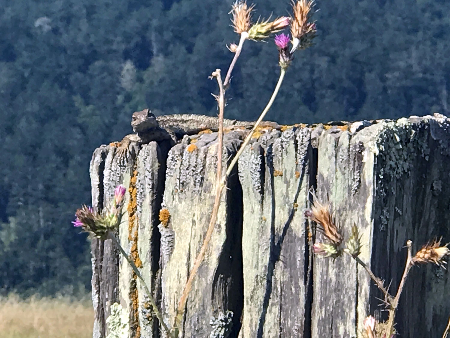
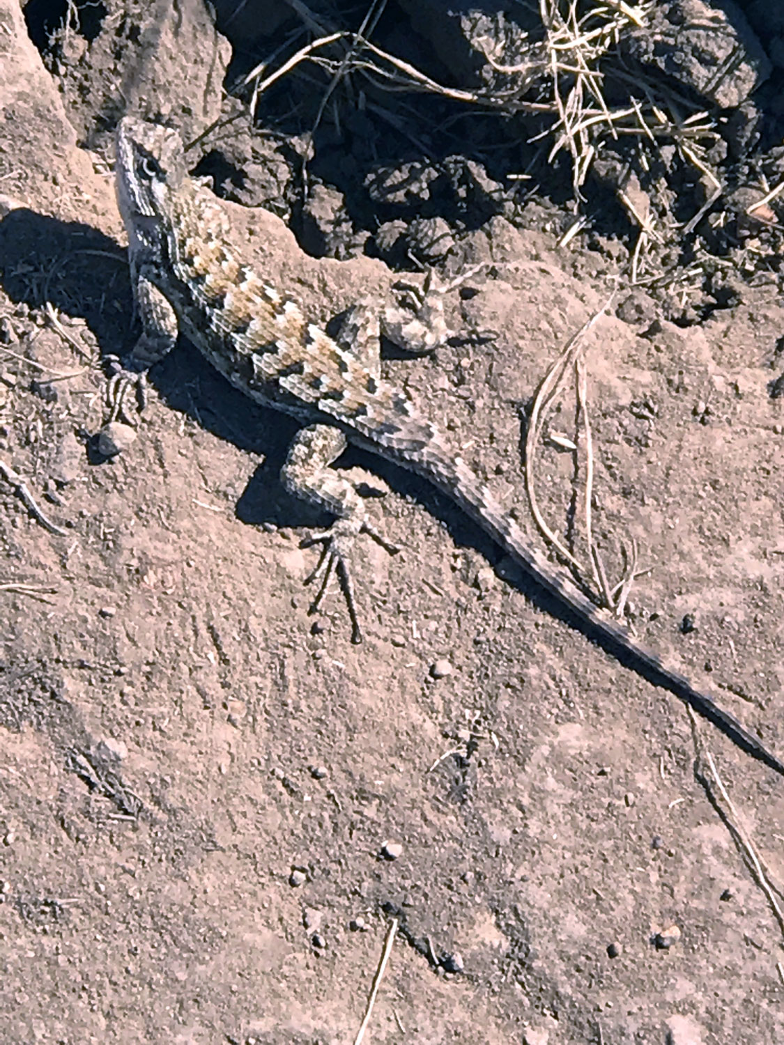
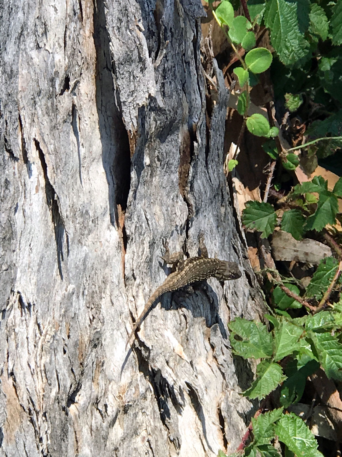
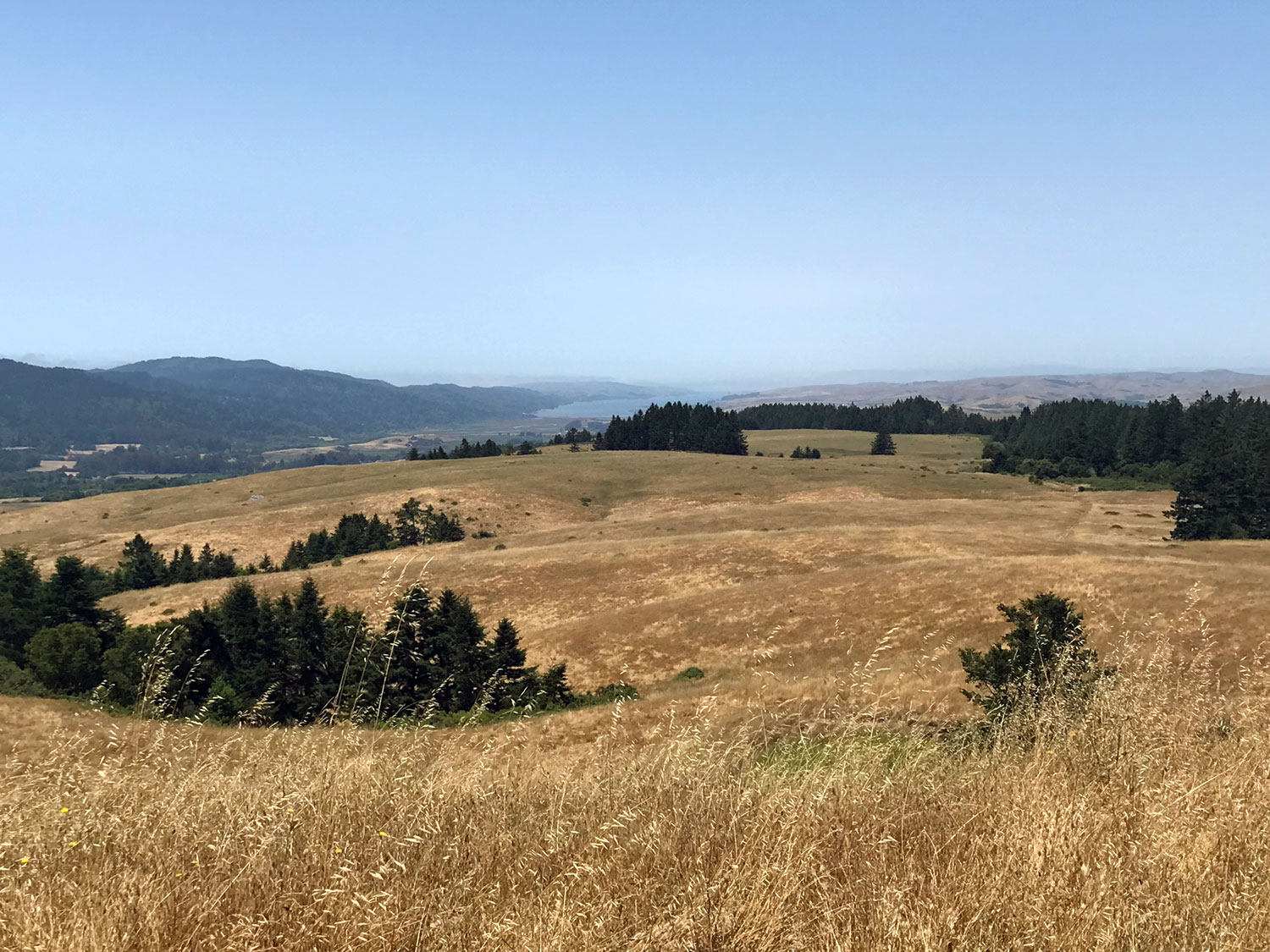
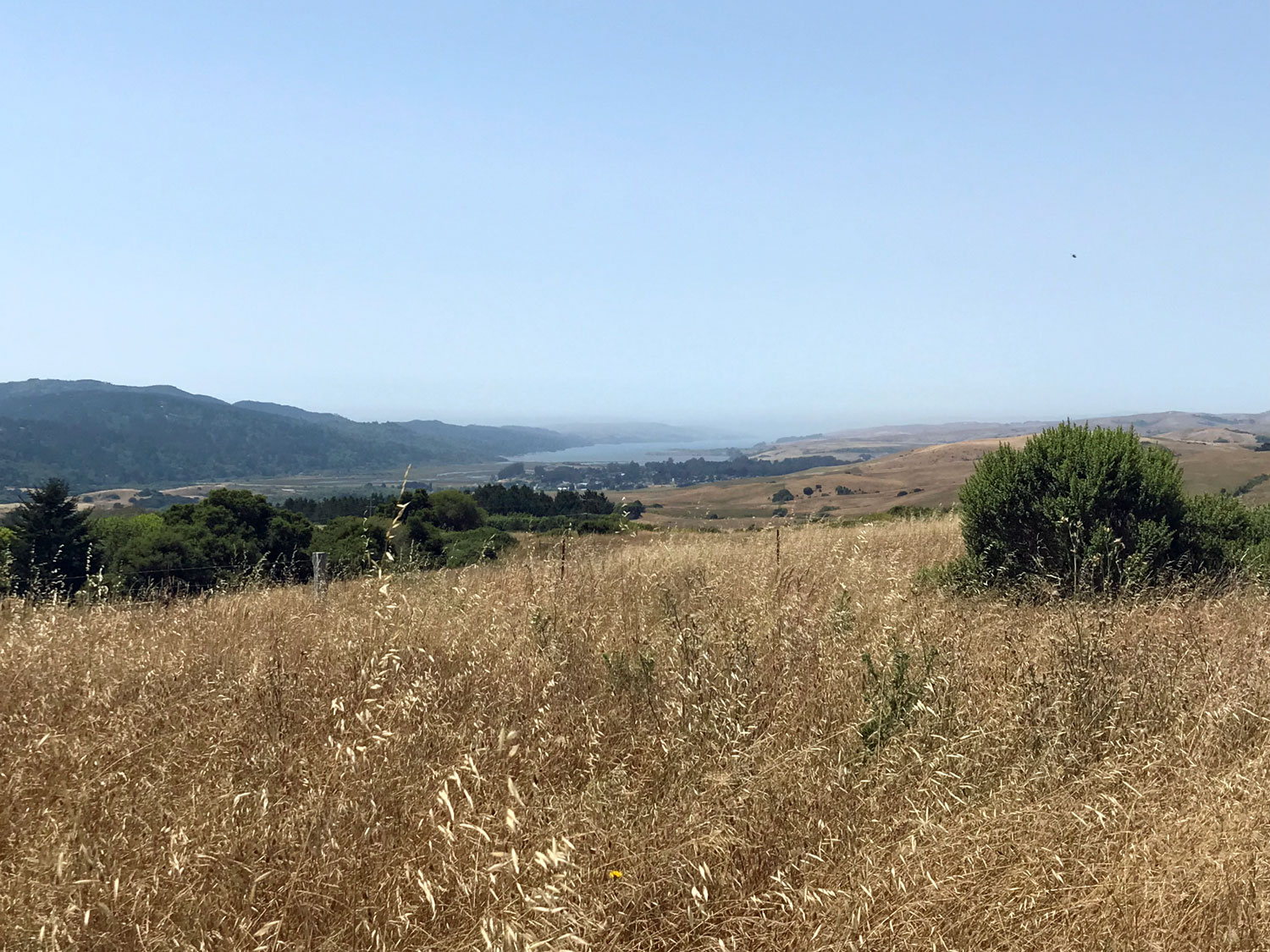
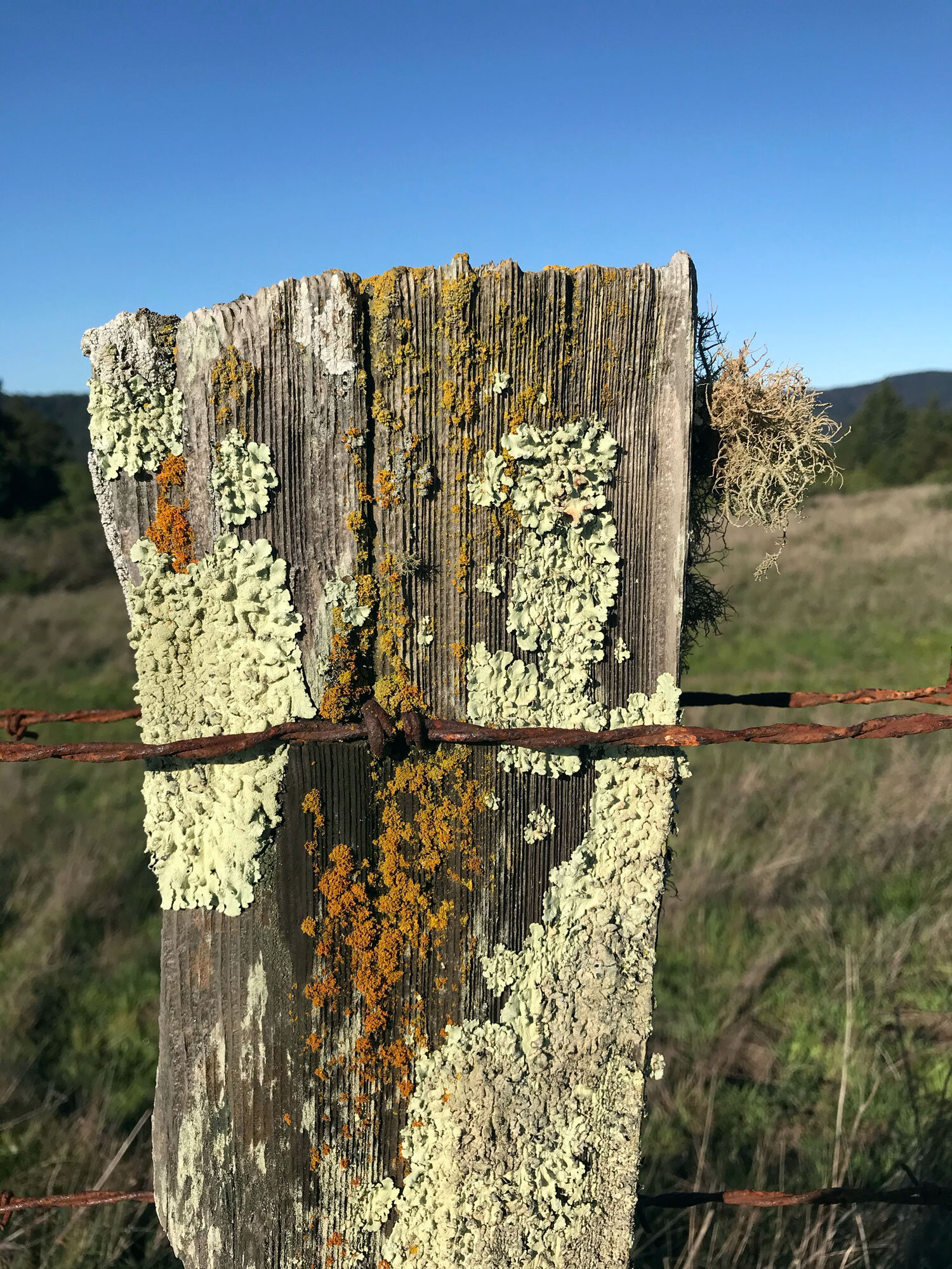
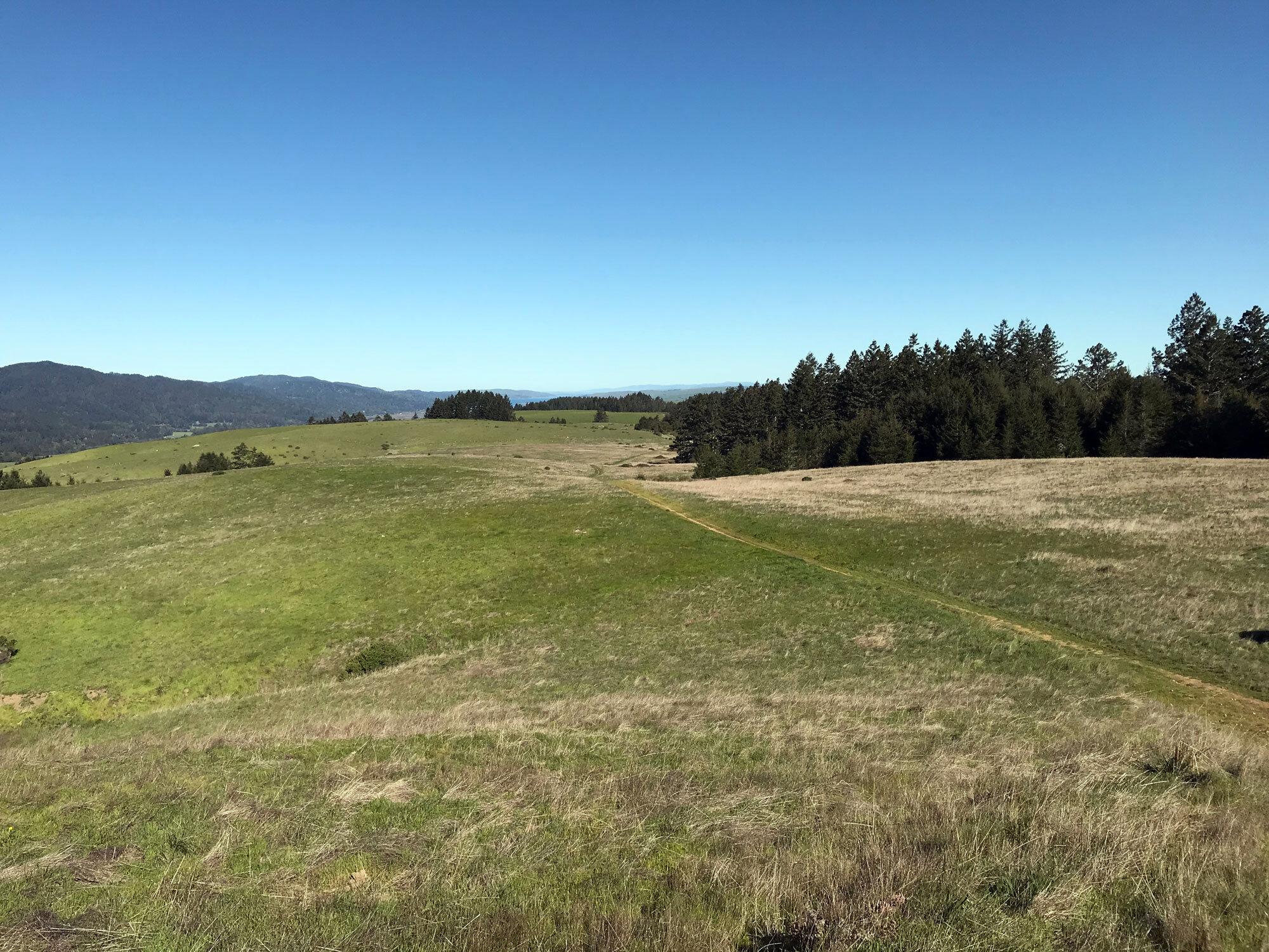
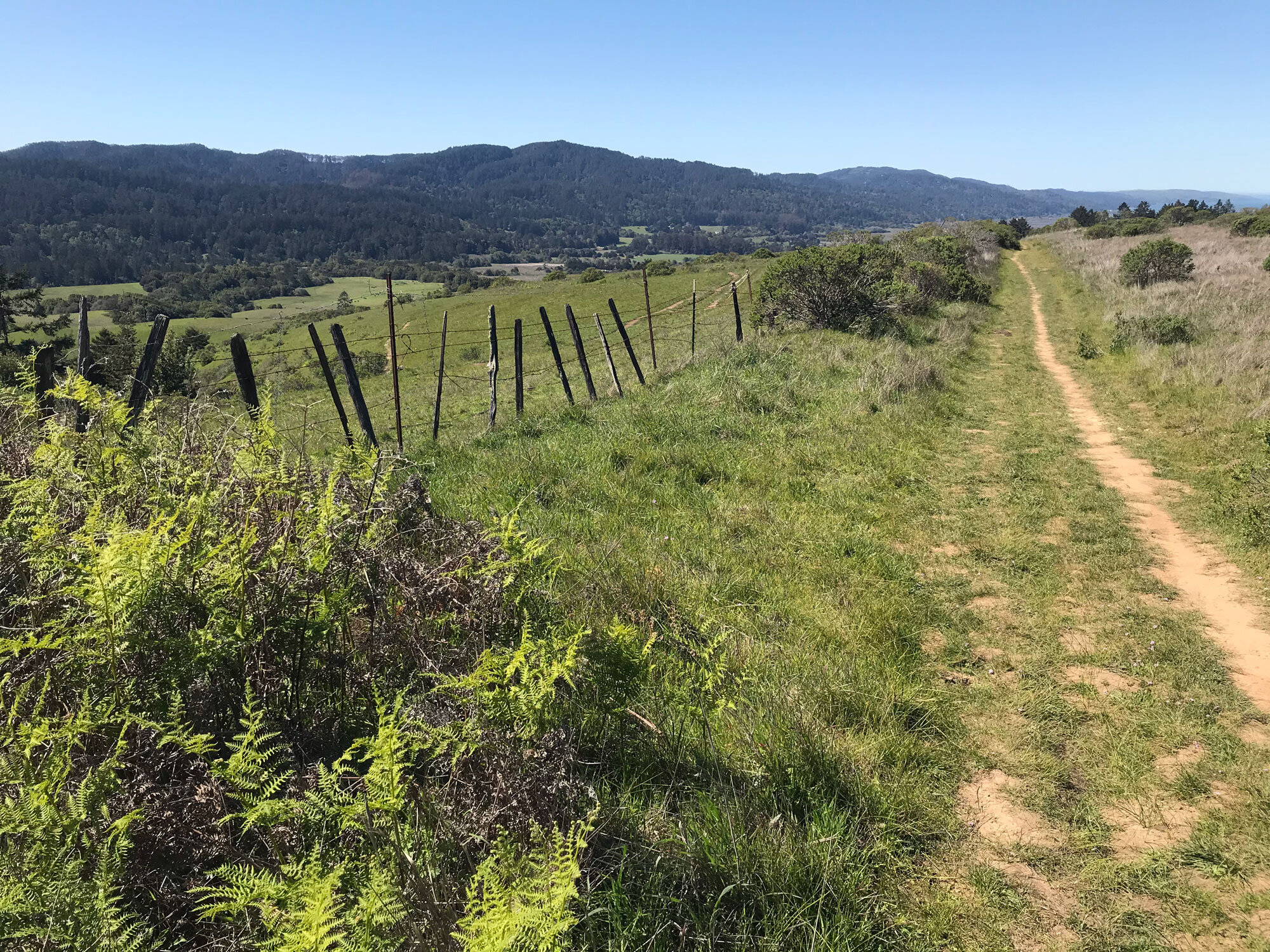
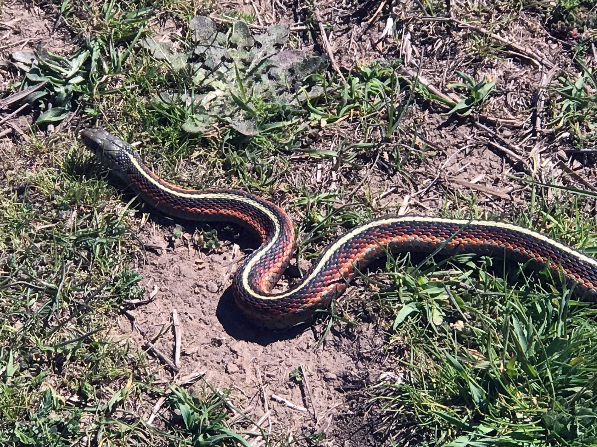
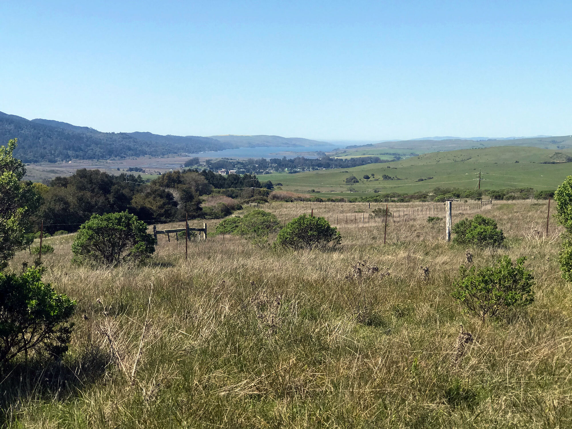
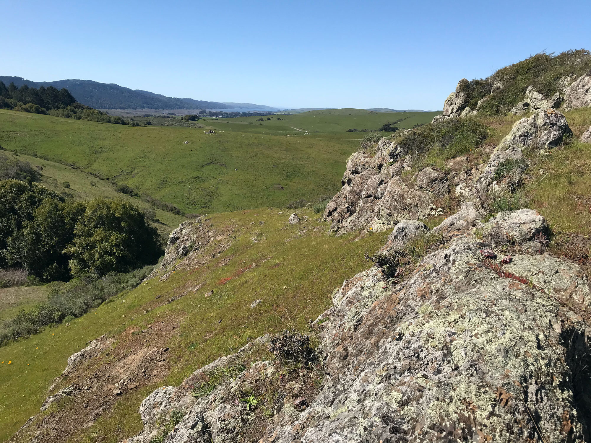
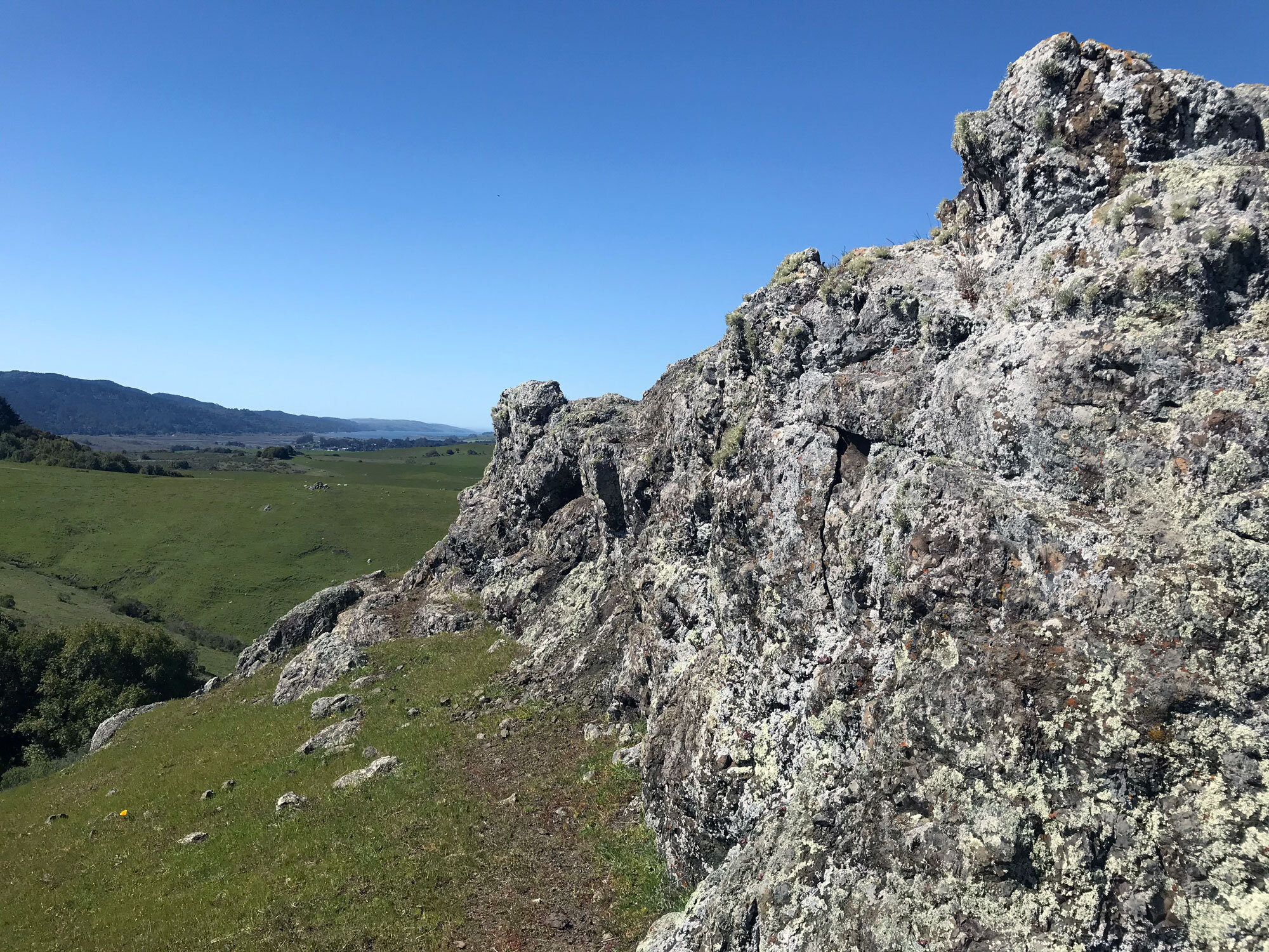
Walking next to the lizard fence looking for Western fence lizards atop the wood posts and enjoying the view of Tomales Bay in the distance
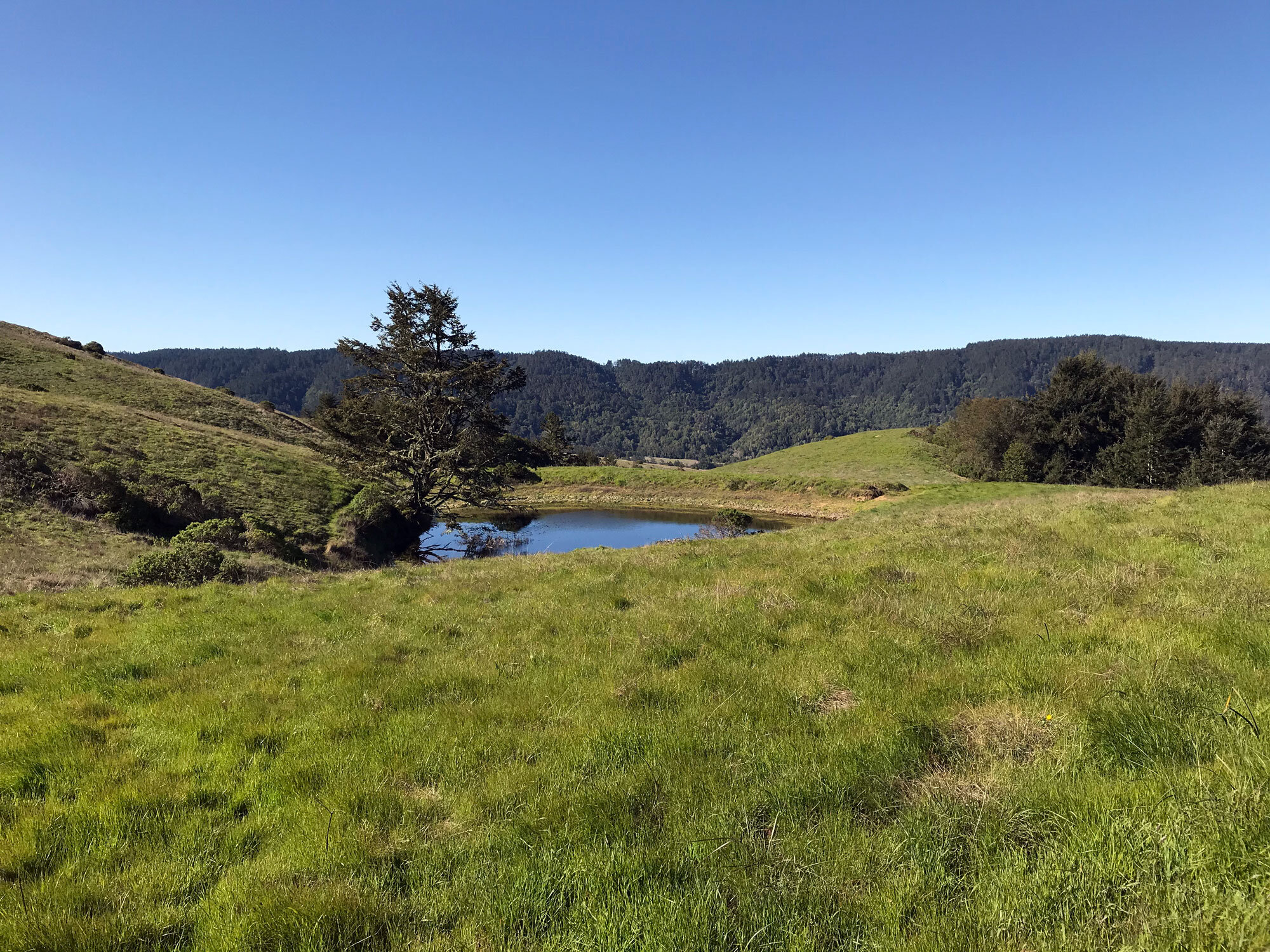
Listening to red-winged blackbirds at the sunken marshy area in the pasture
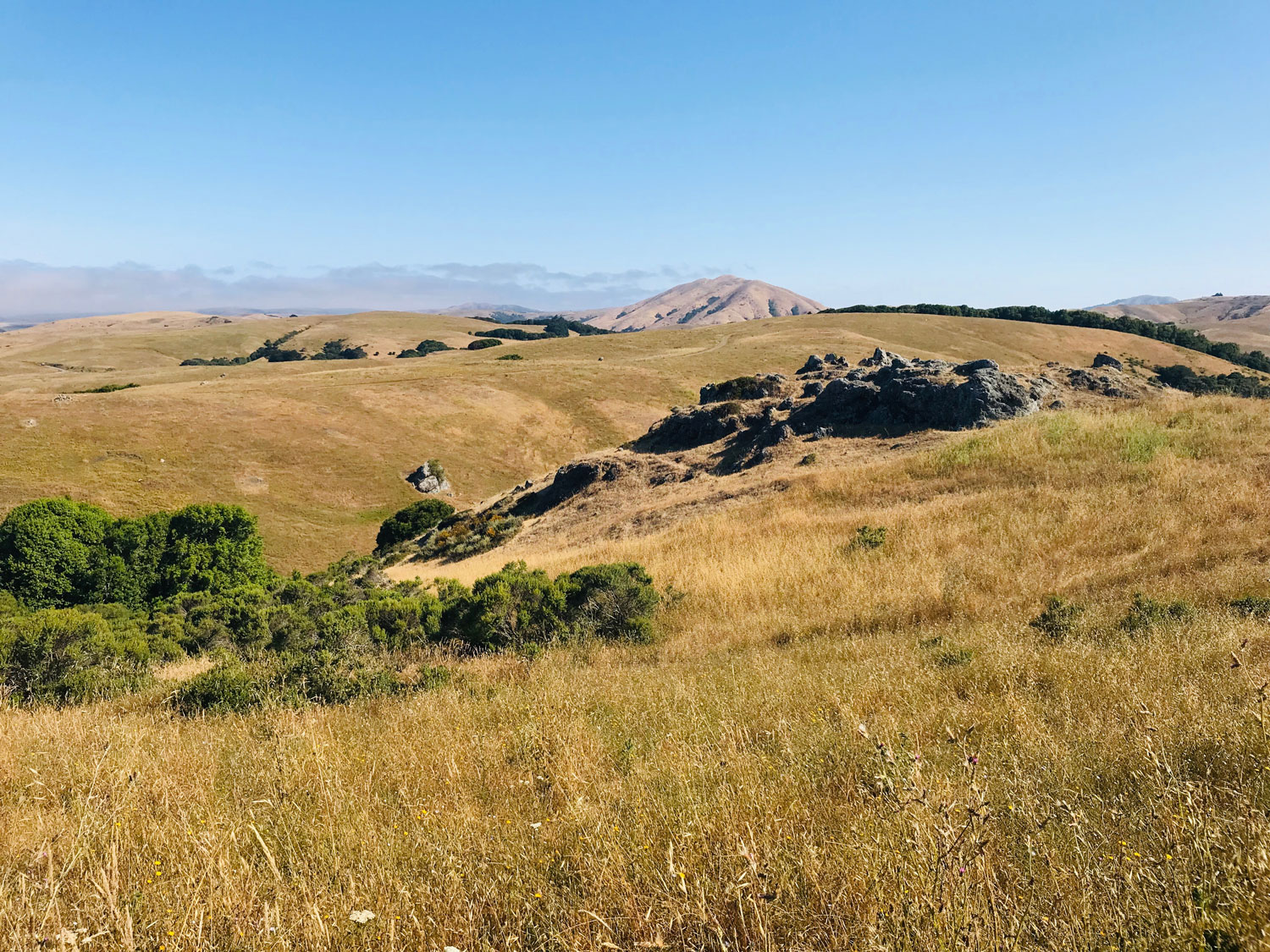
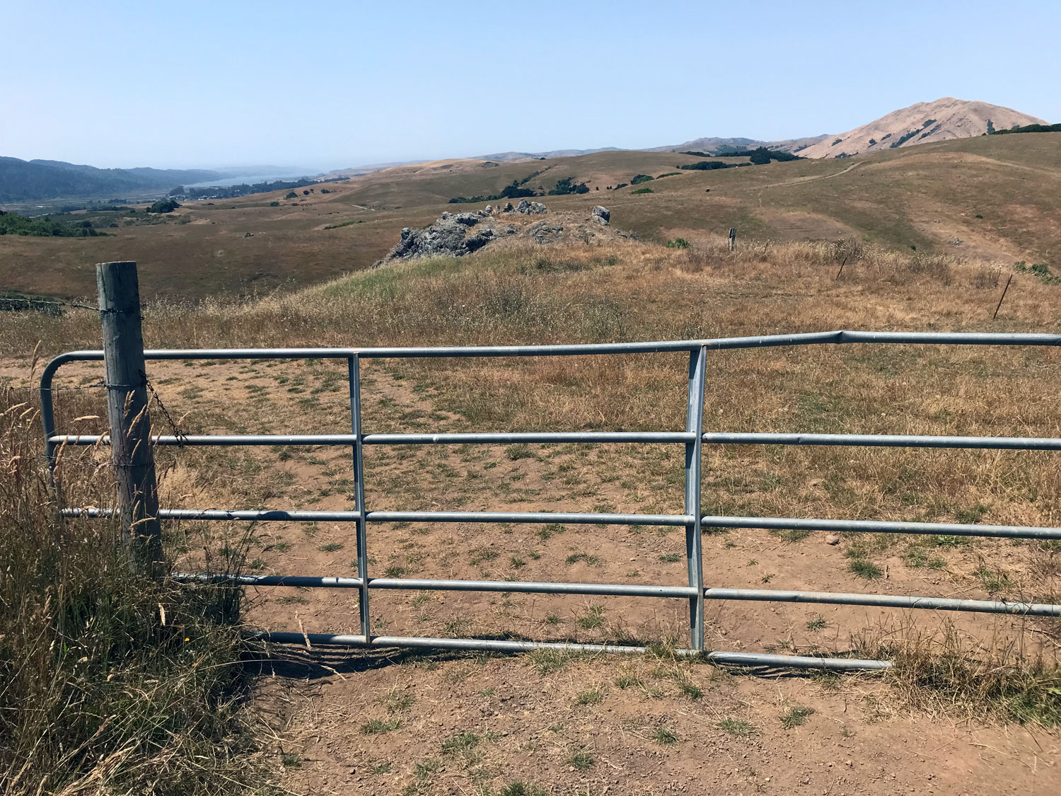
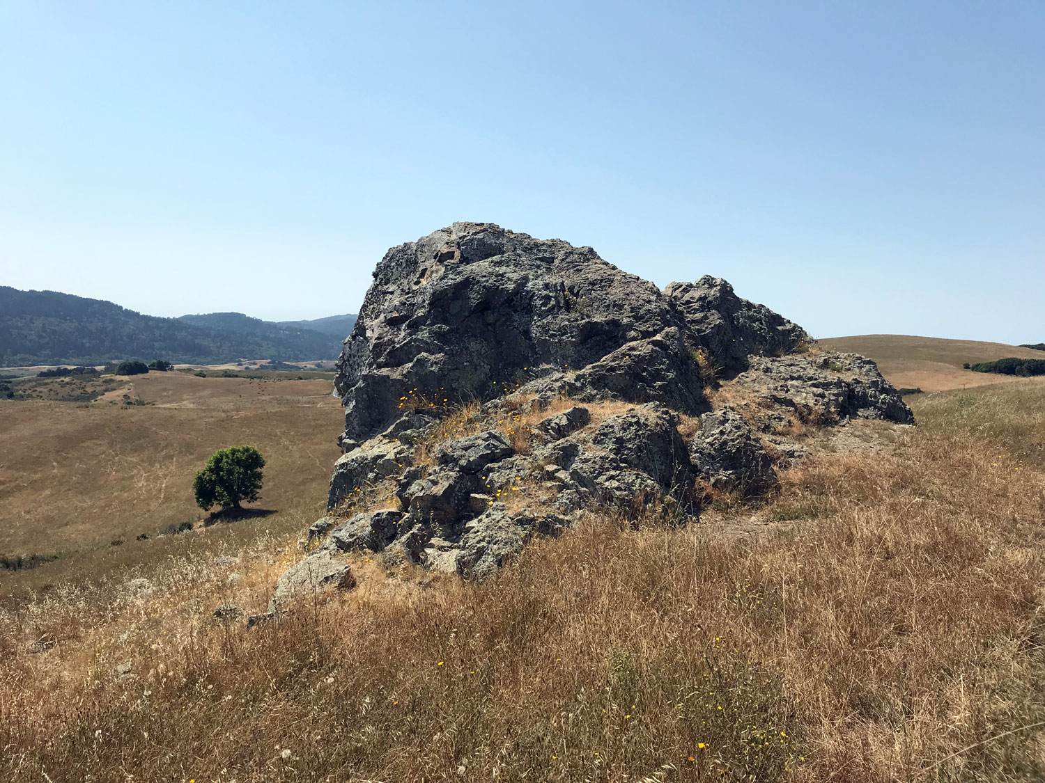
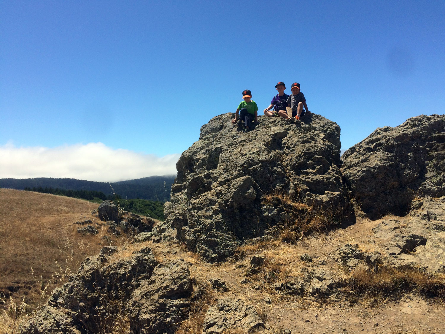
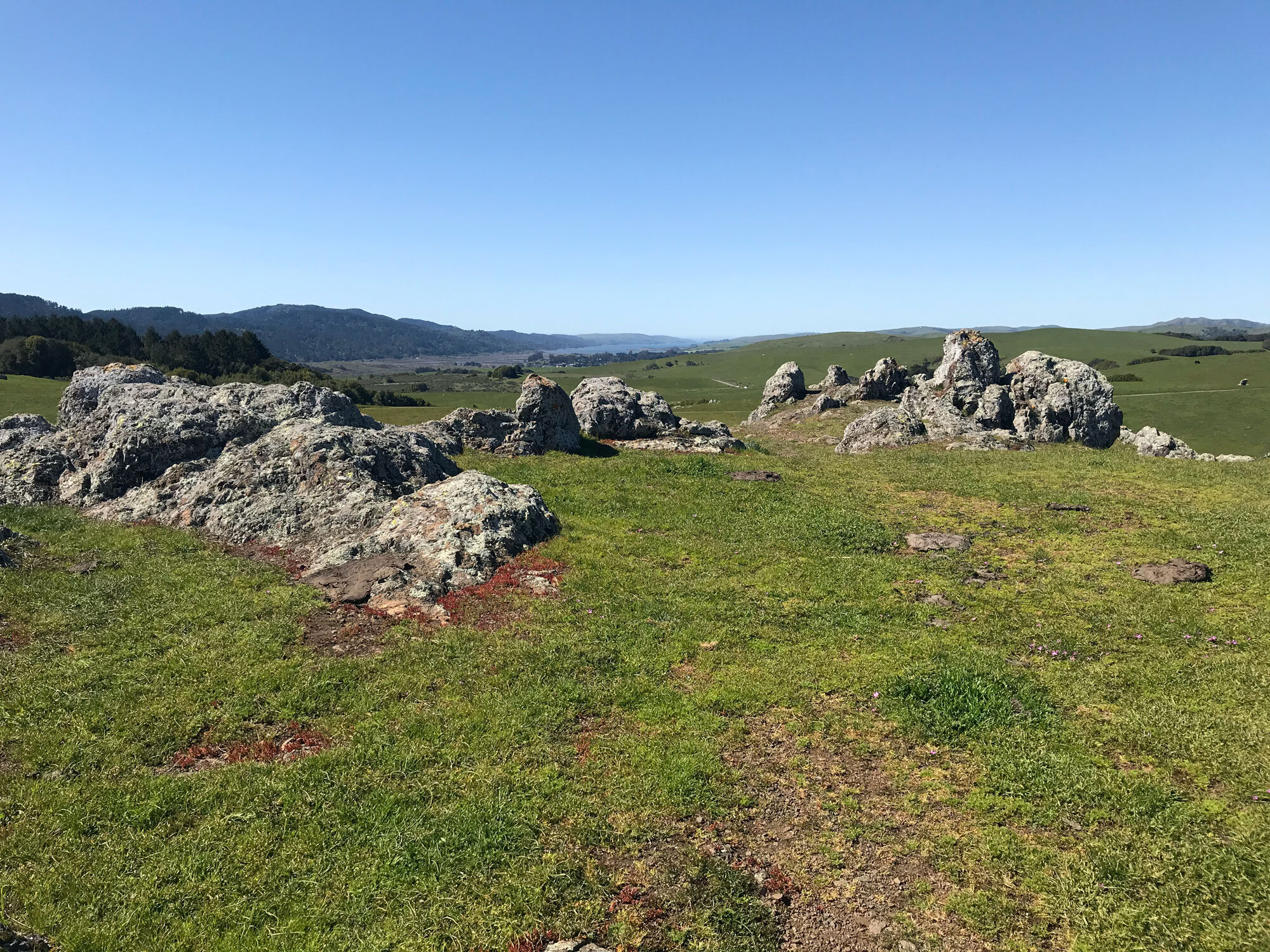
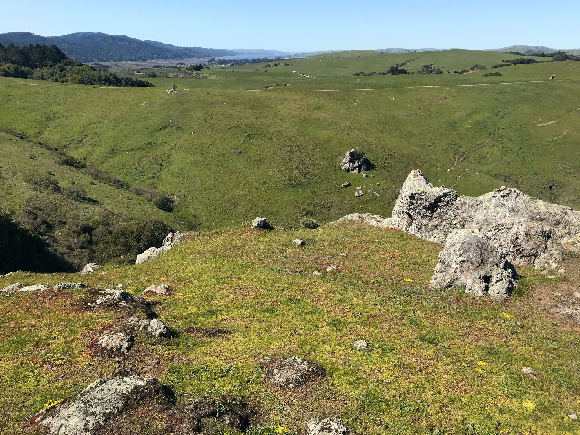
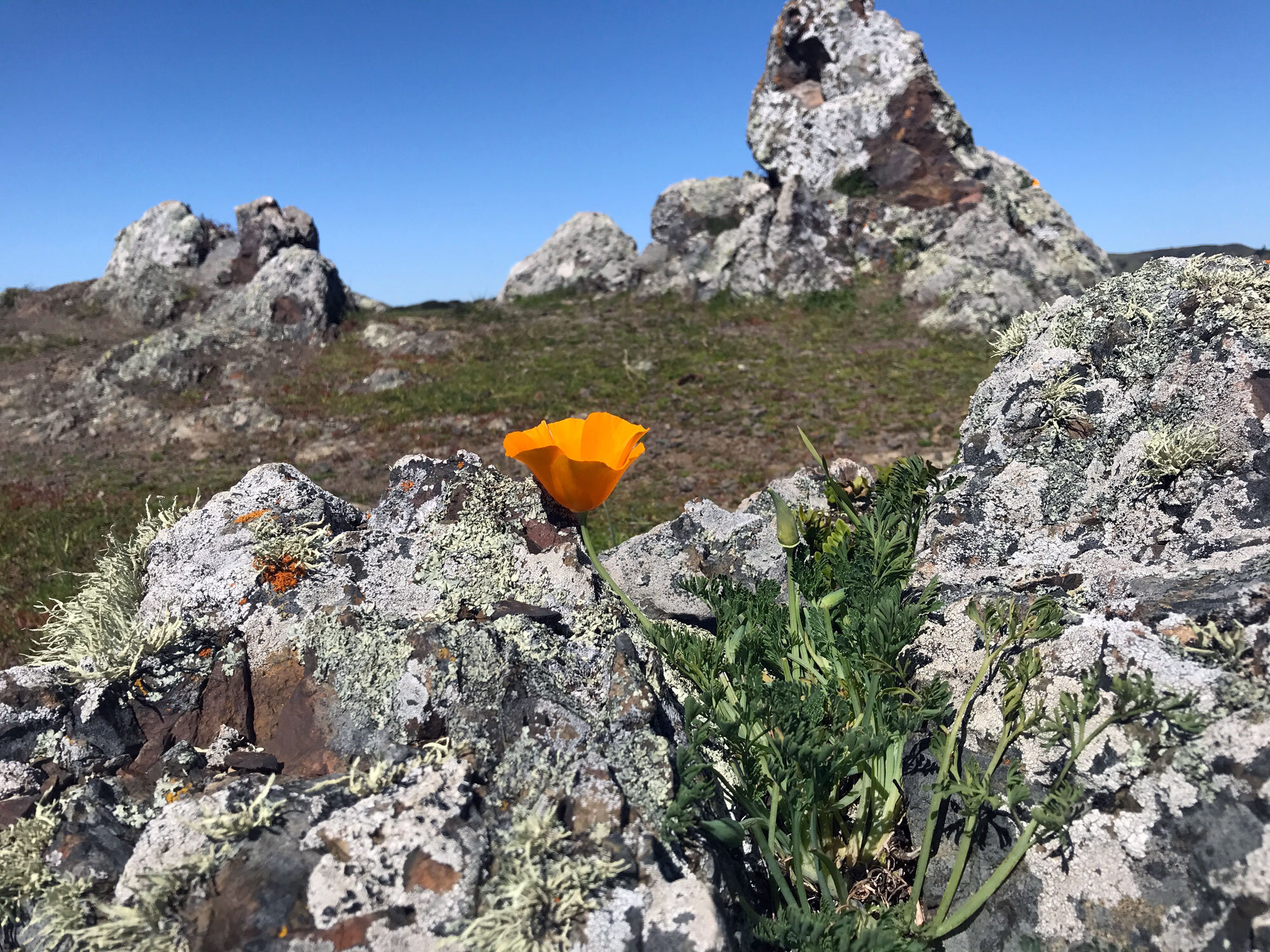
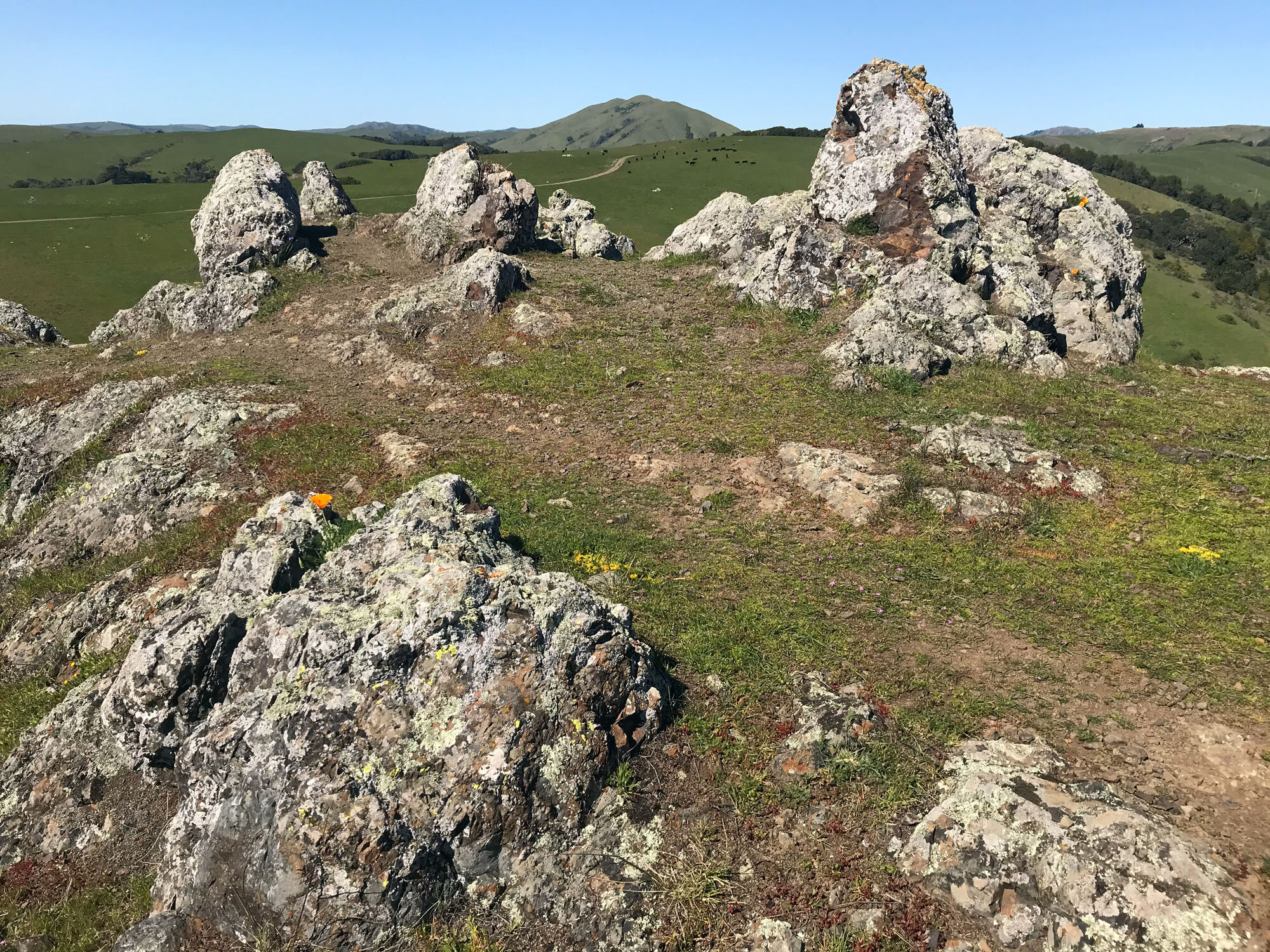
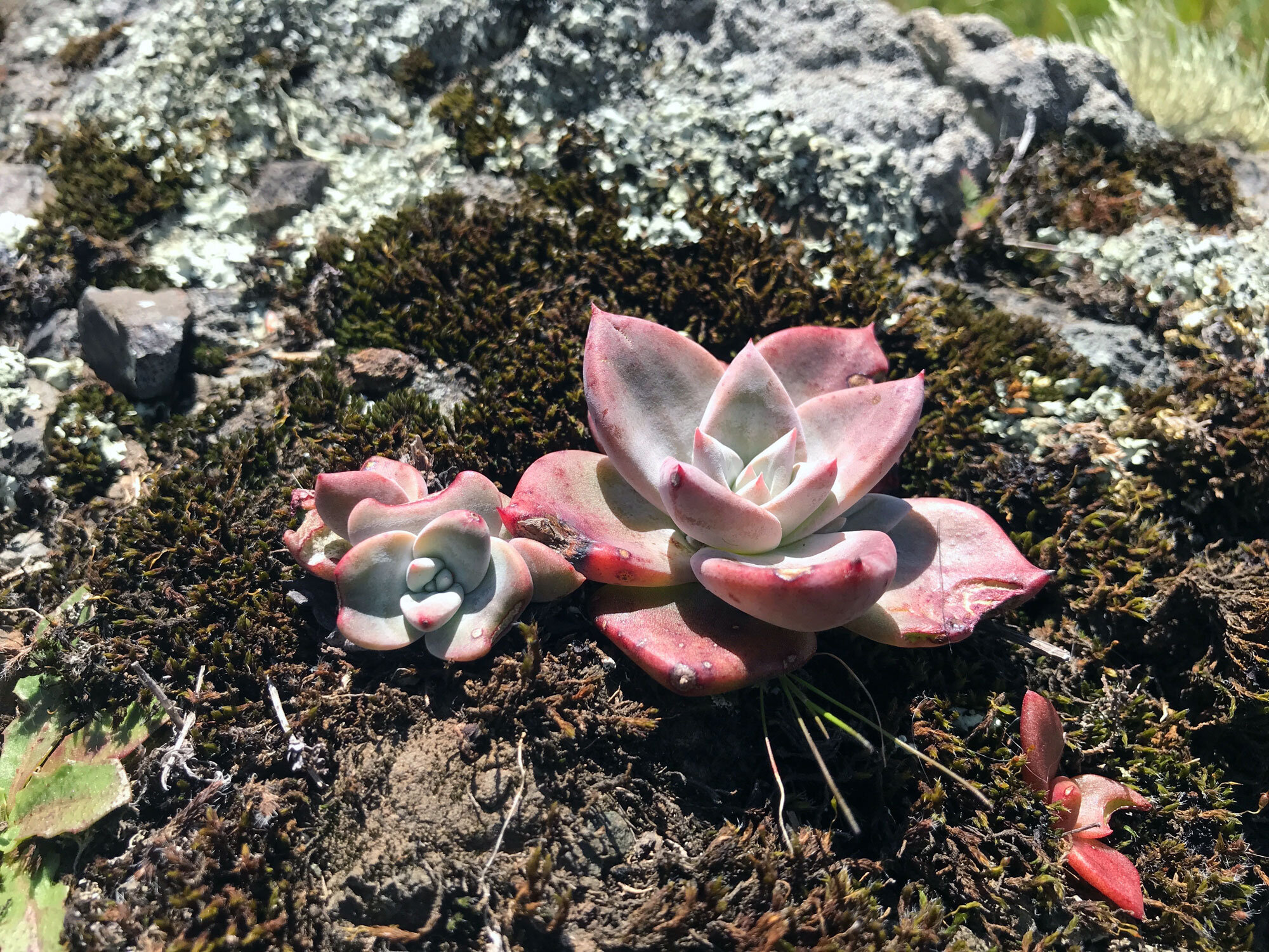
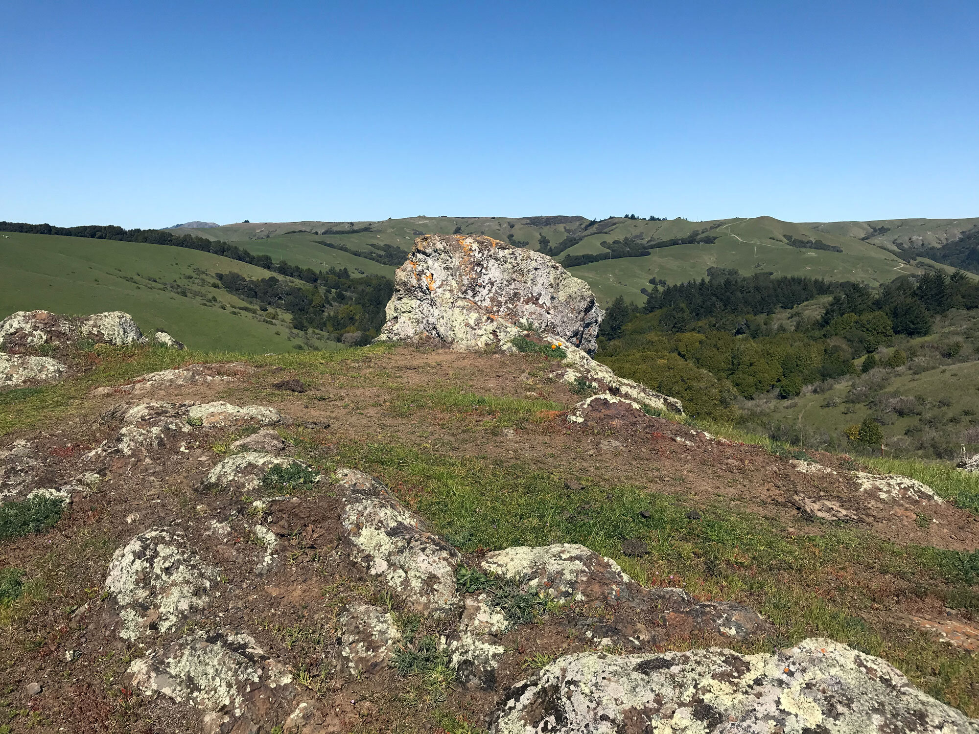
Exploring the rocky outcroppings near the first gate
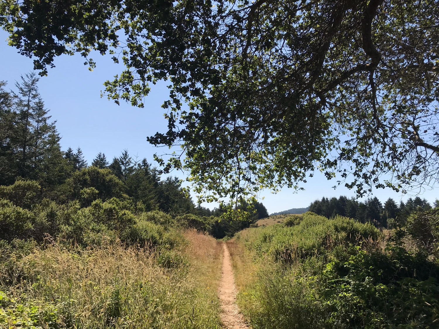
The happiness of entering the cool forest after walking across the fully-exposed open pasture
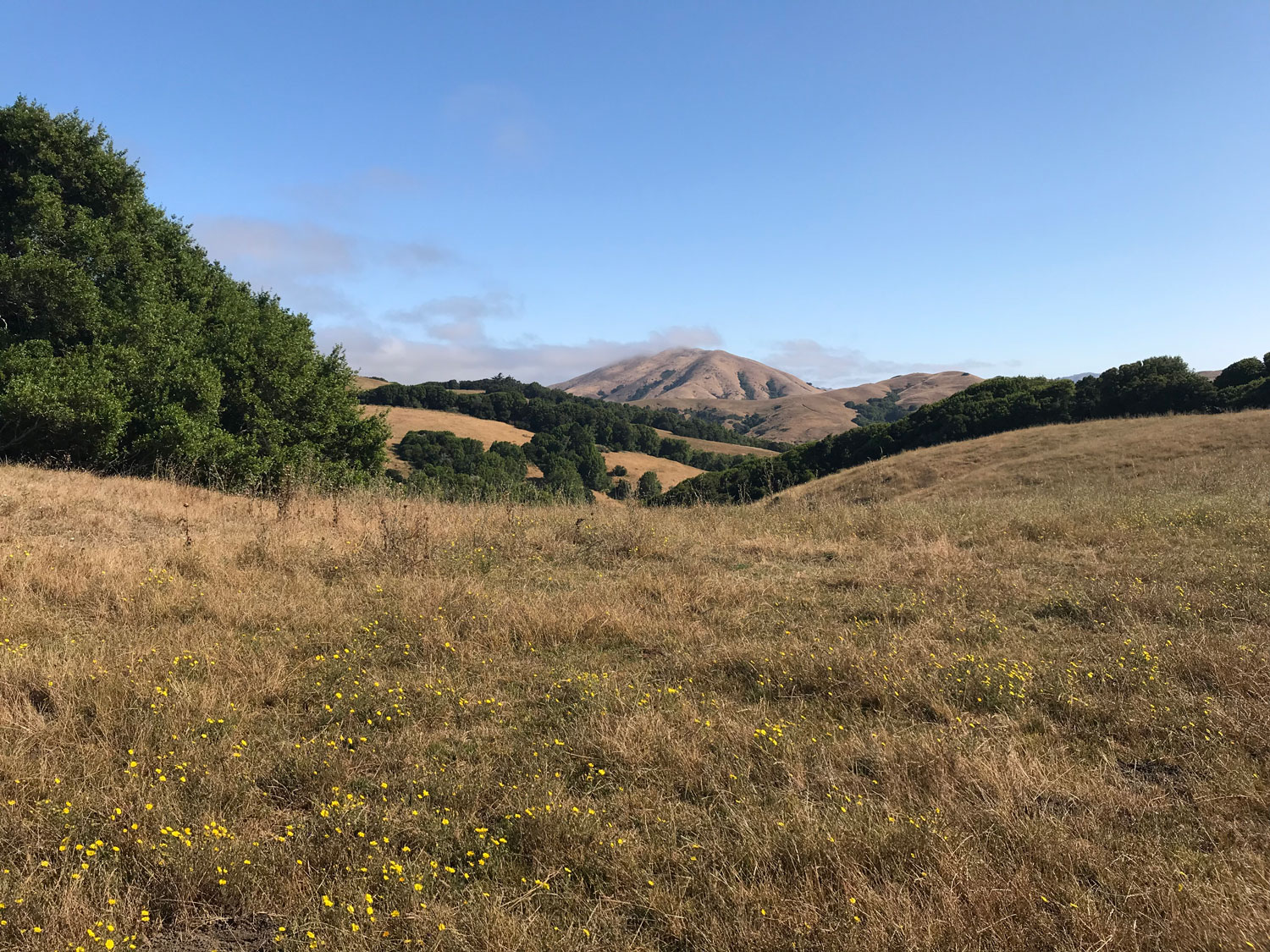
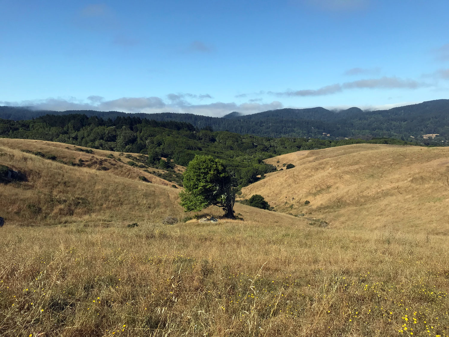
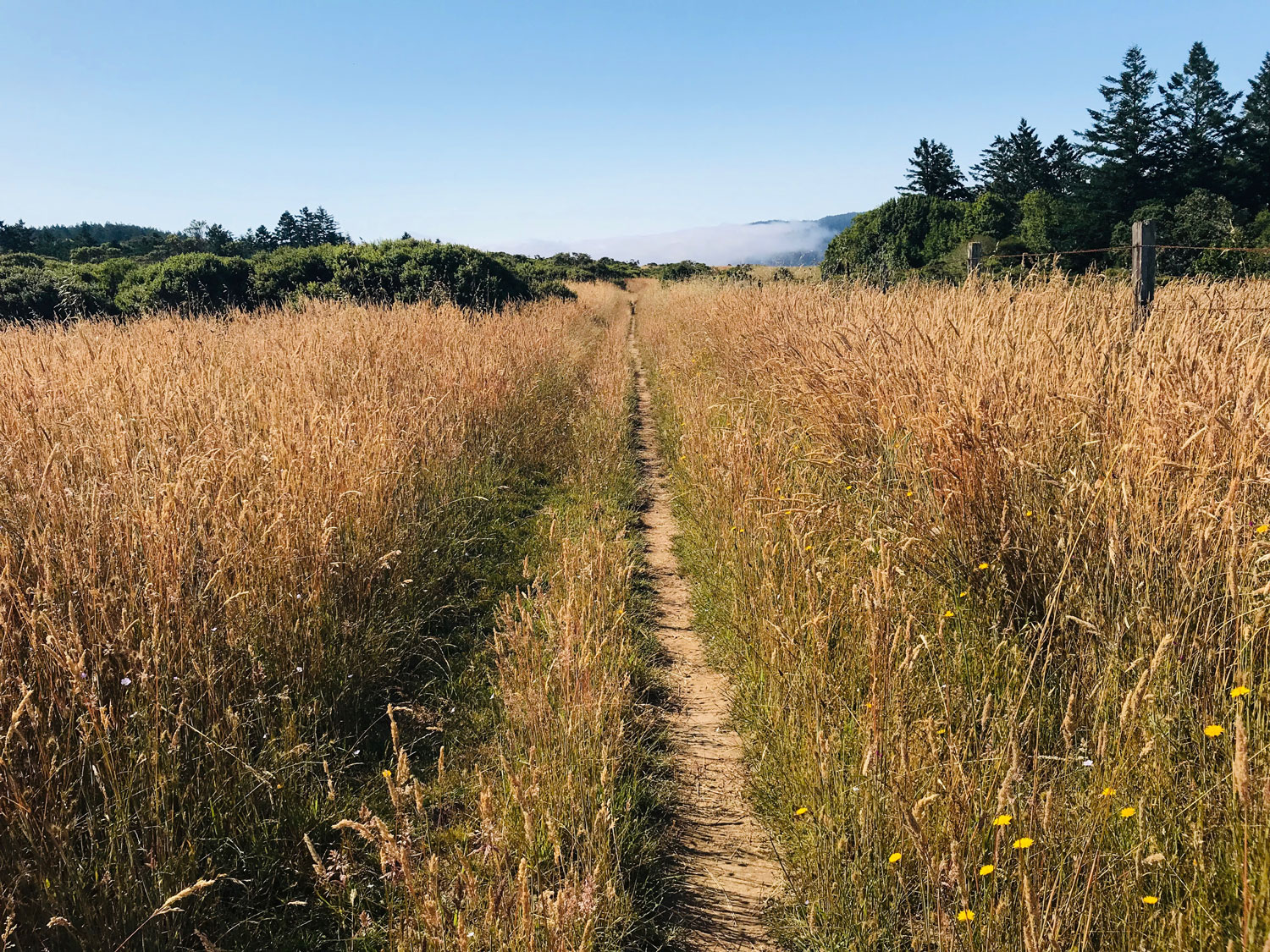
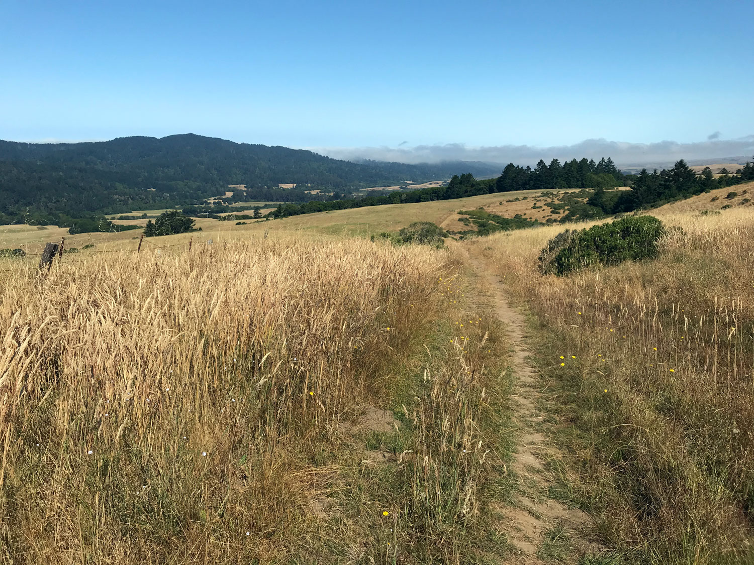
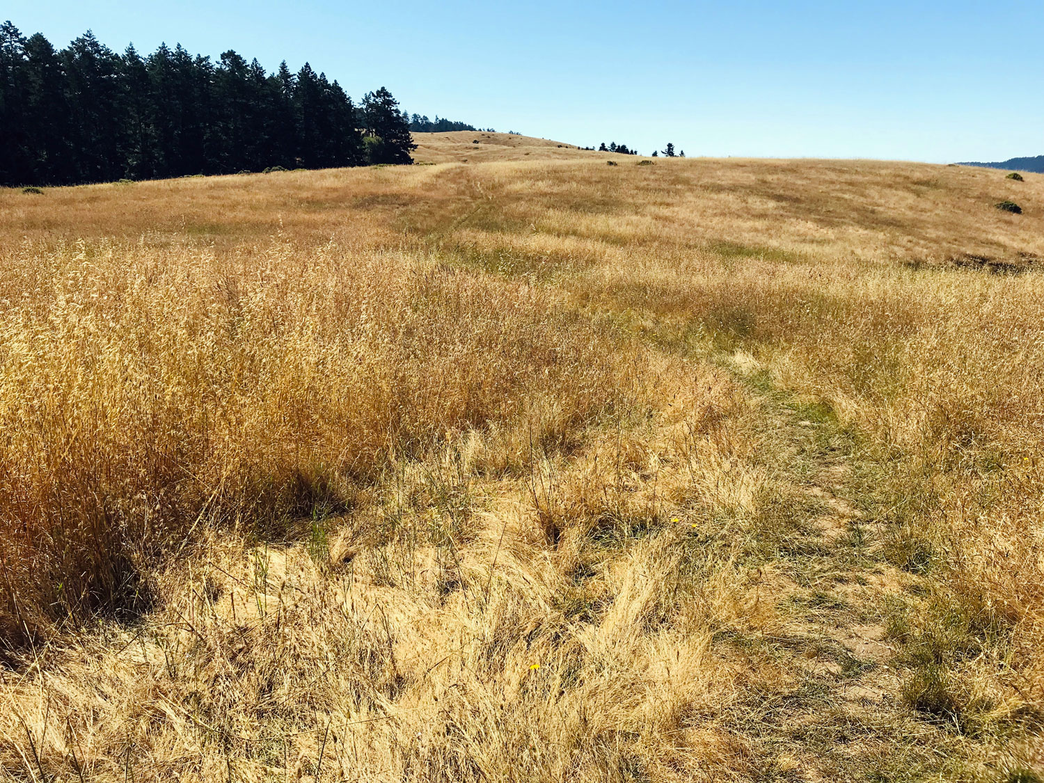
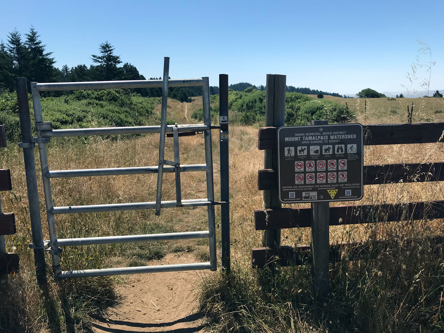
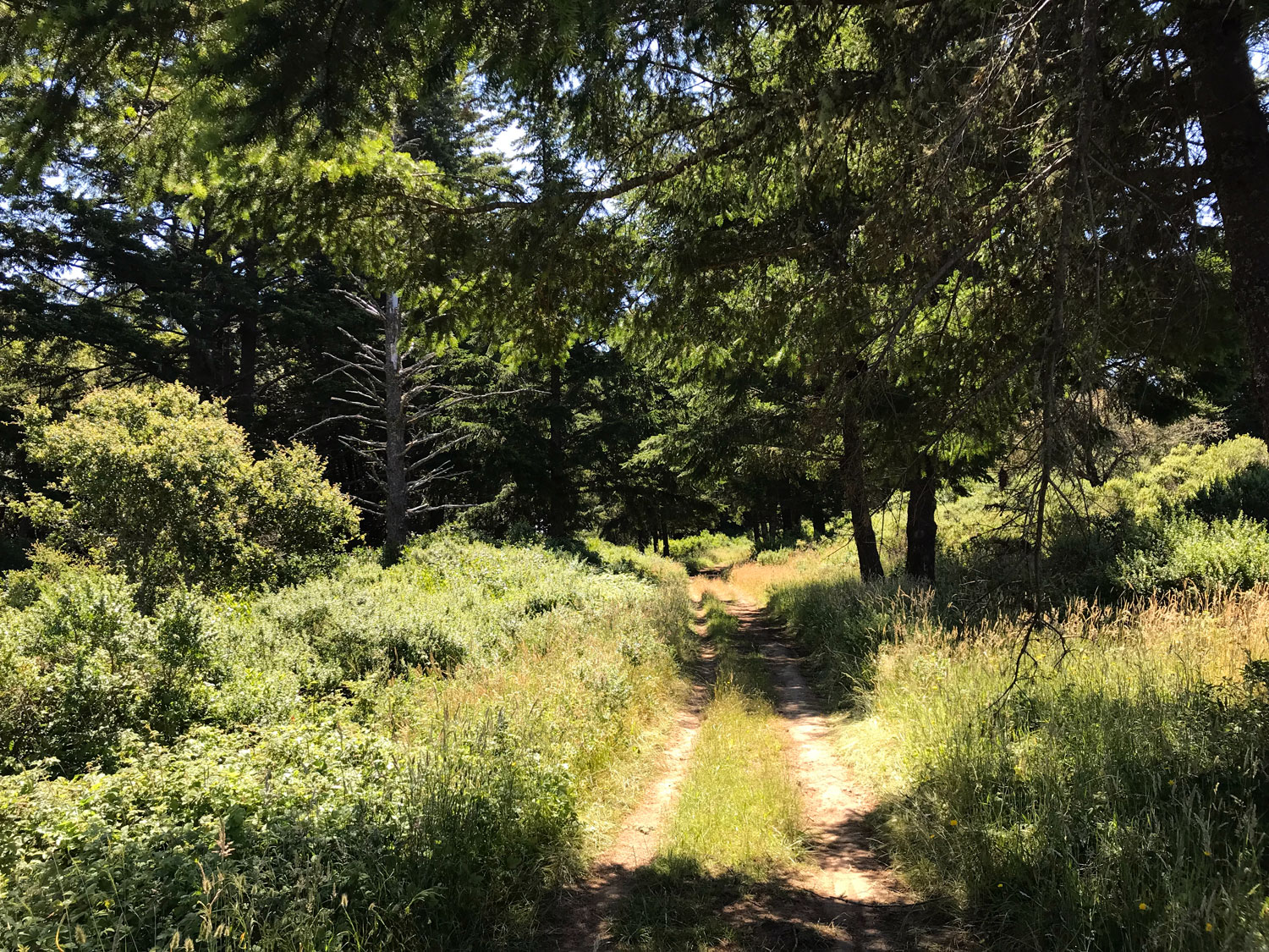
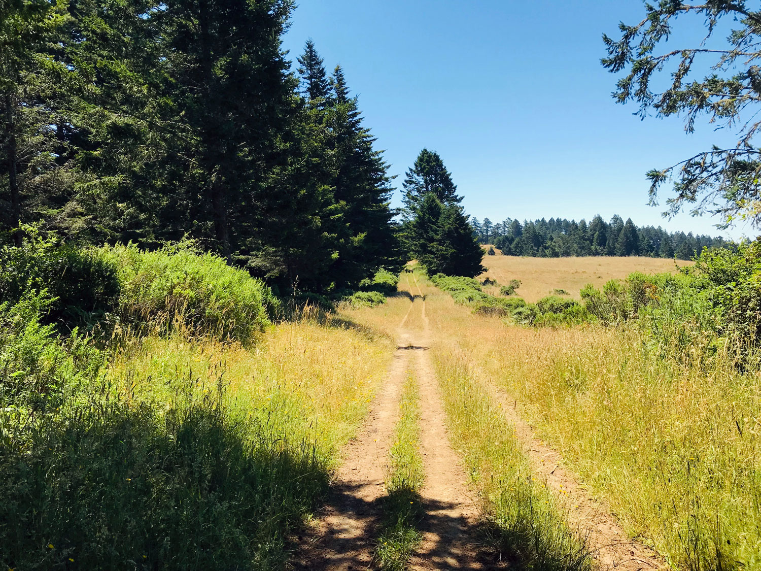
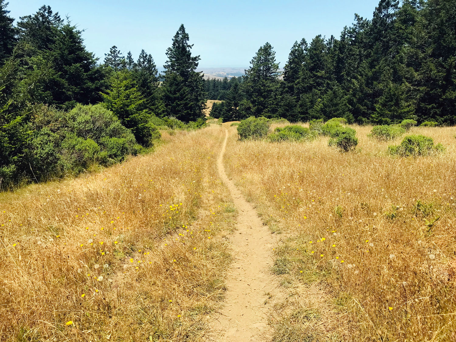
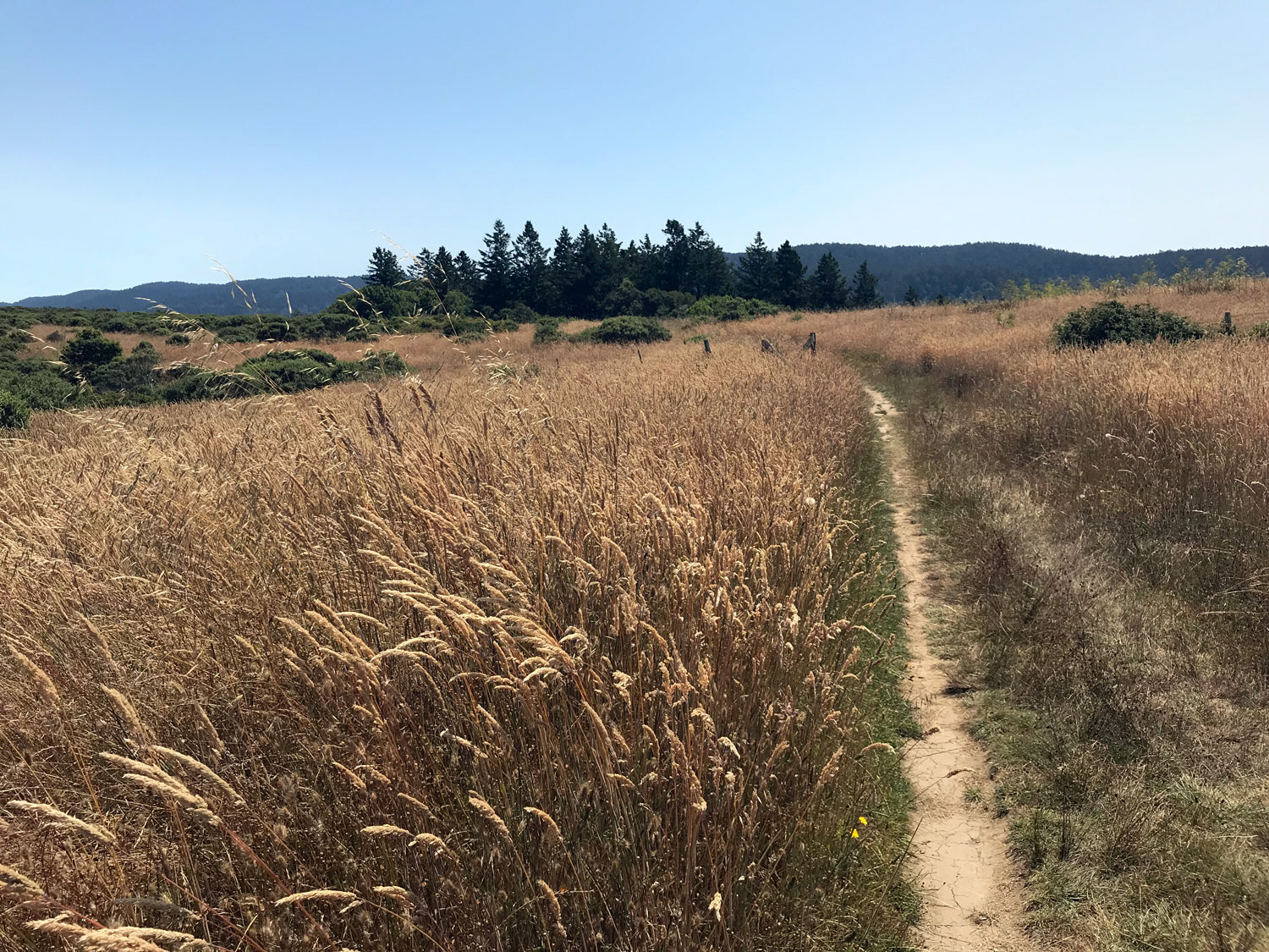
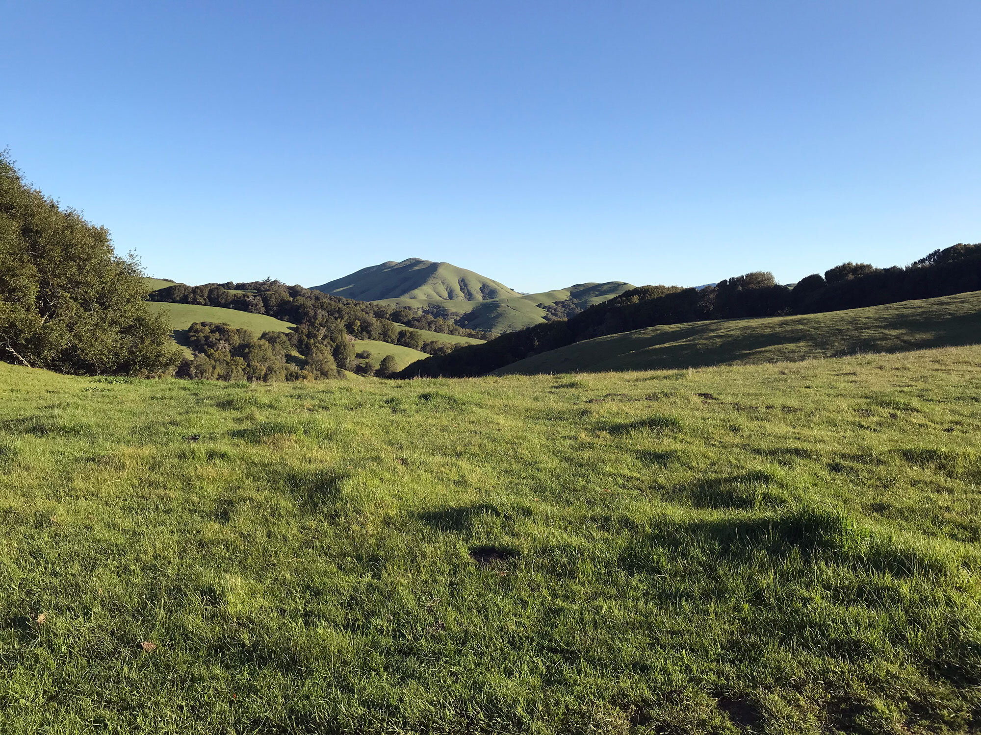
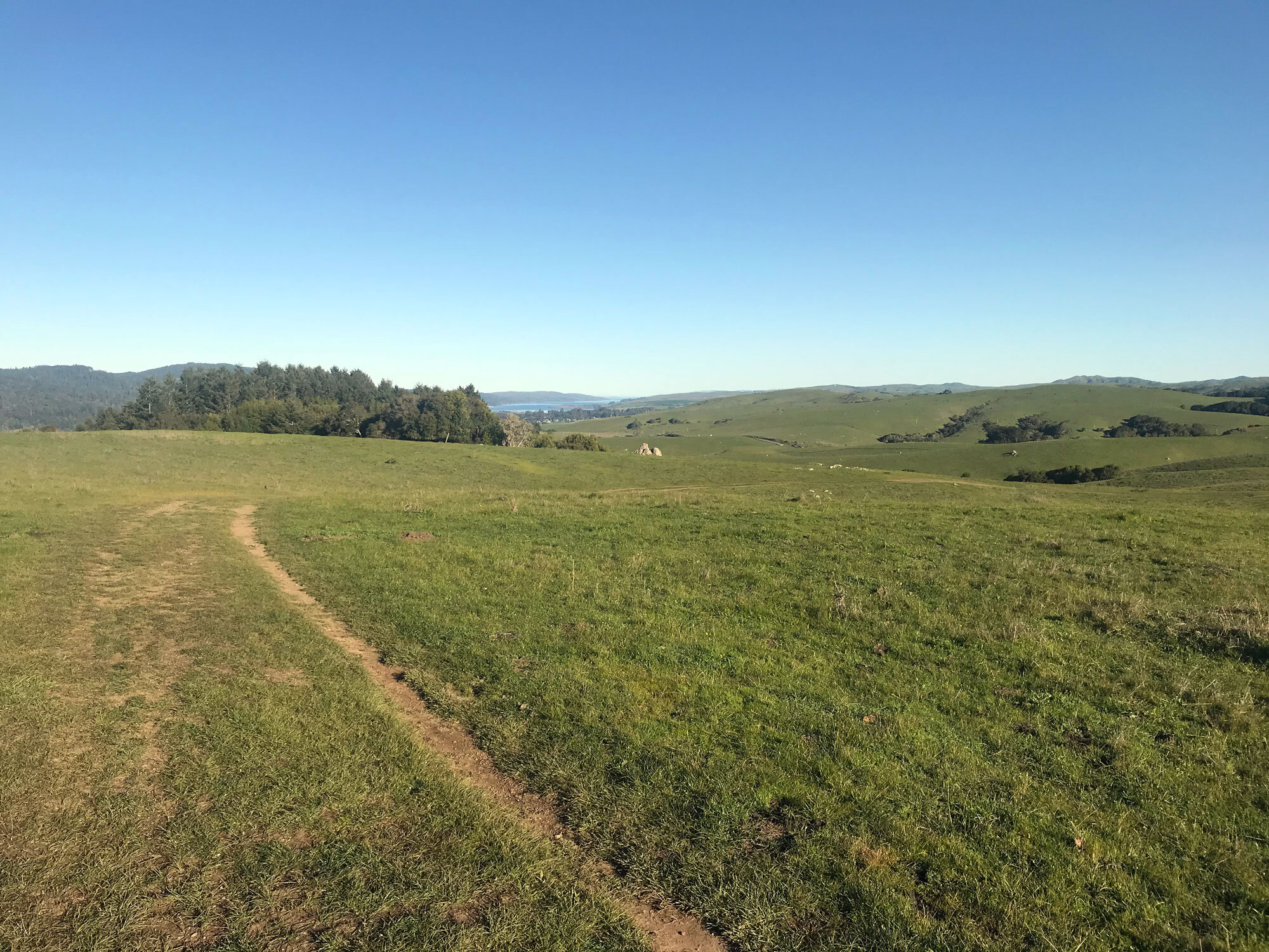
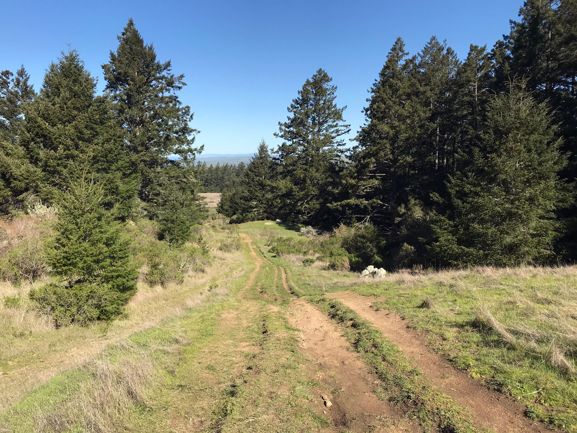
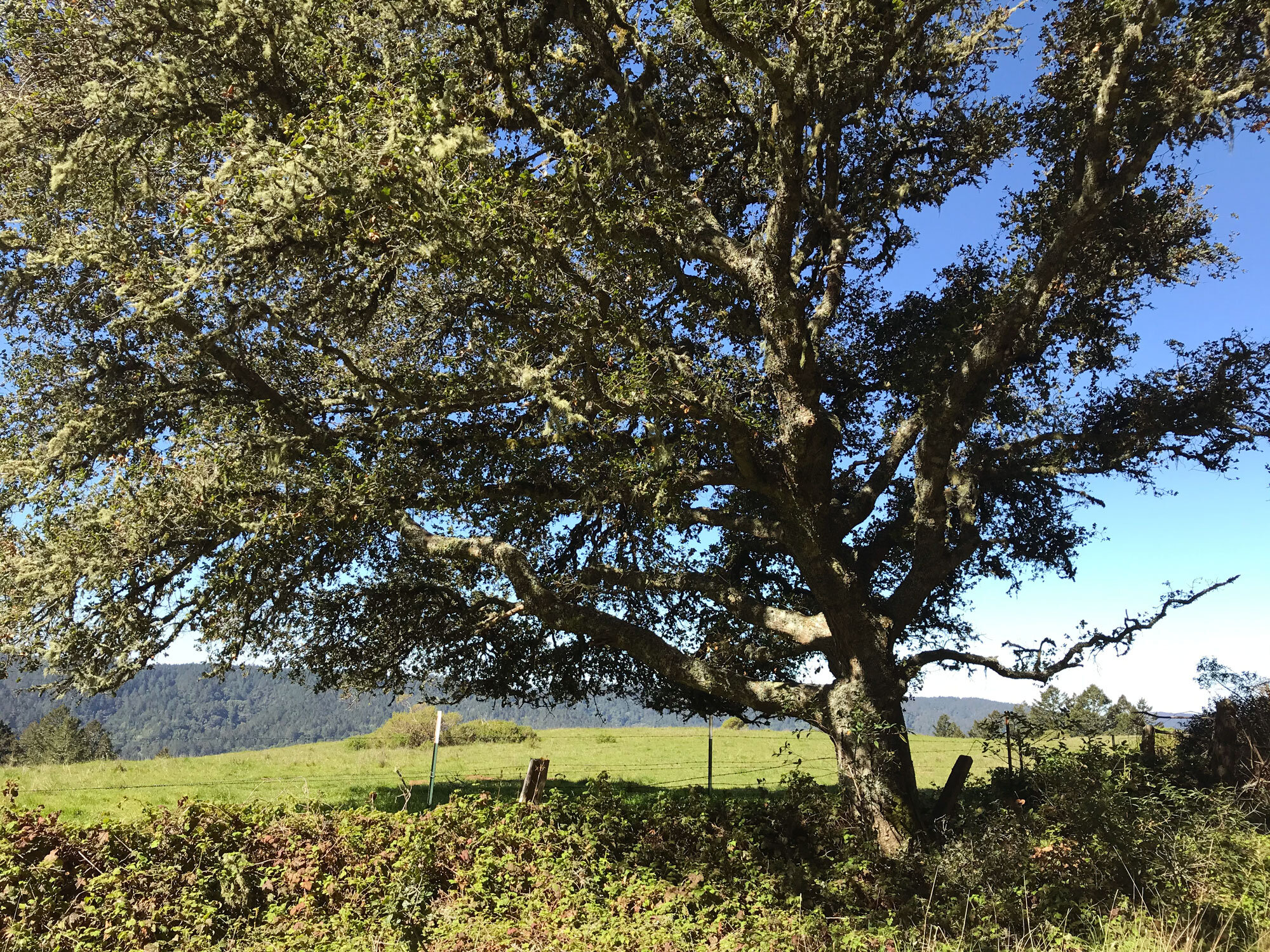
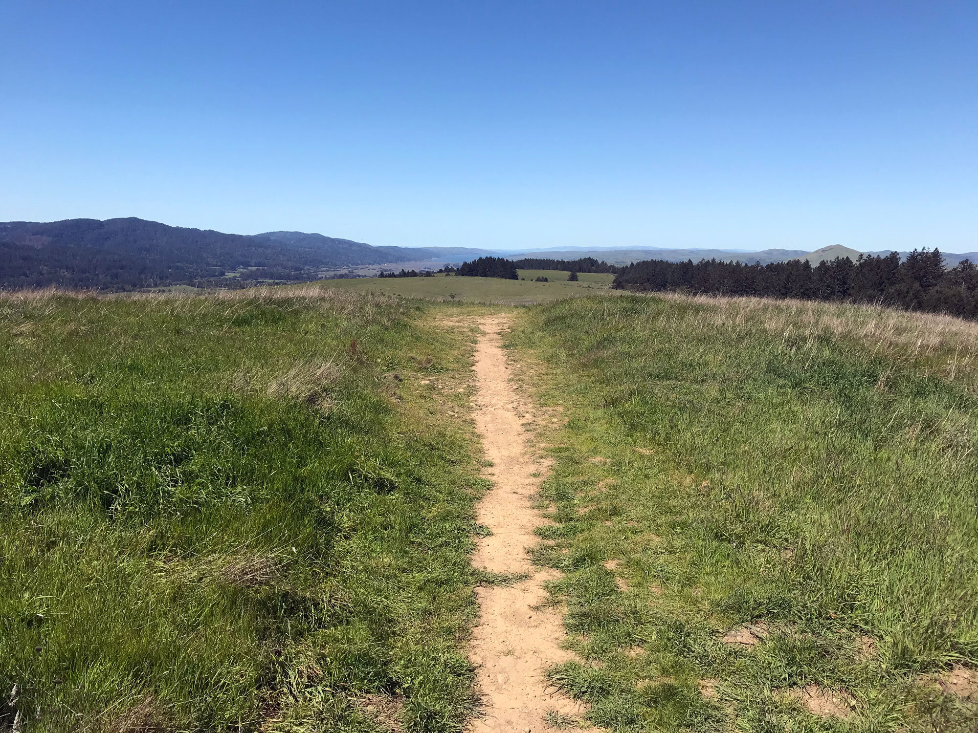
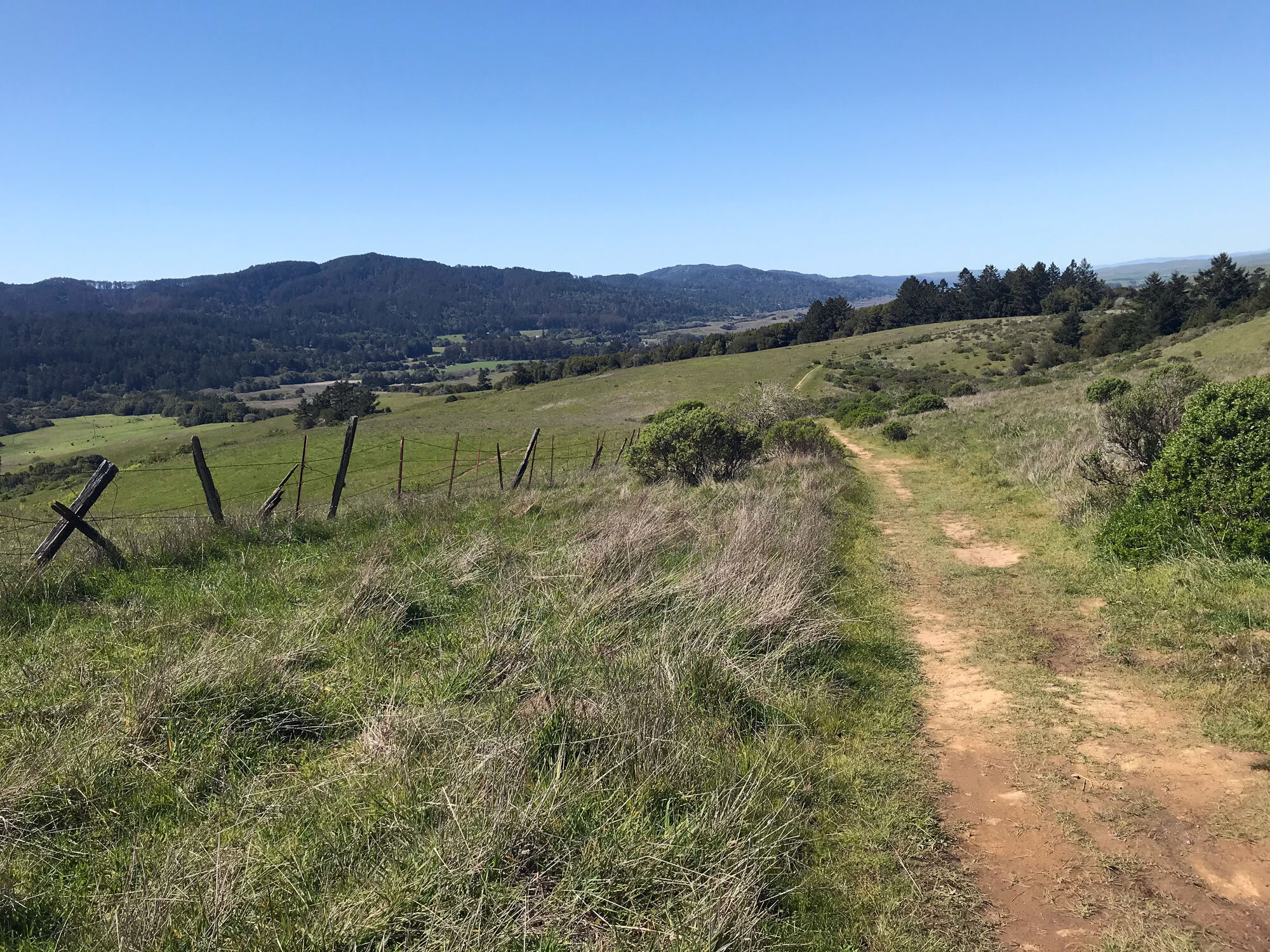
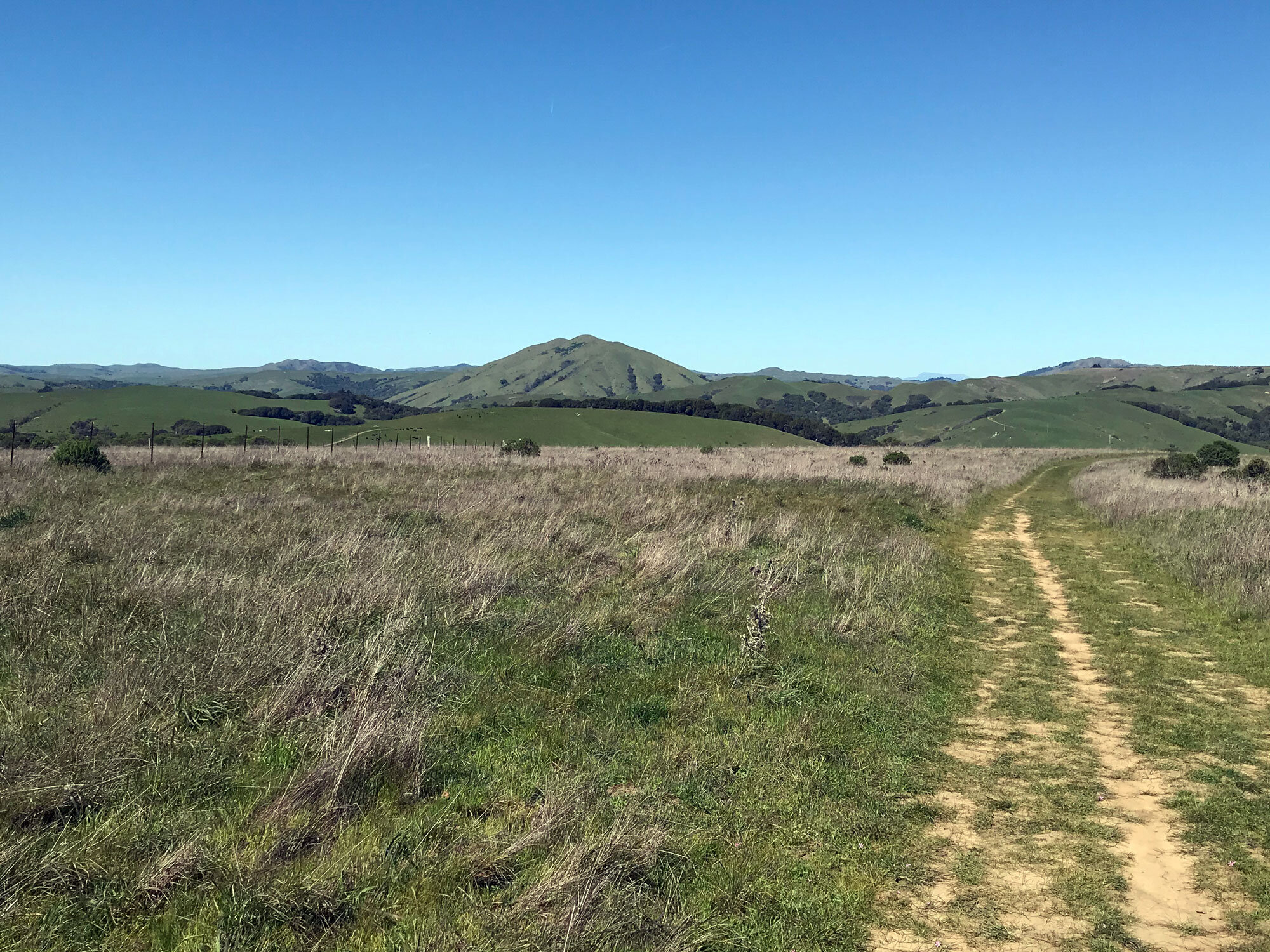
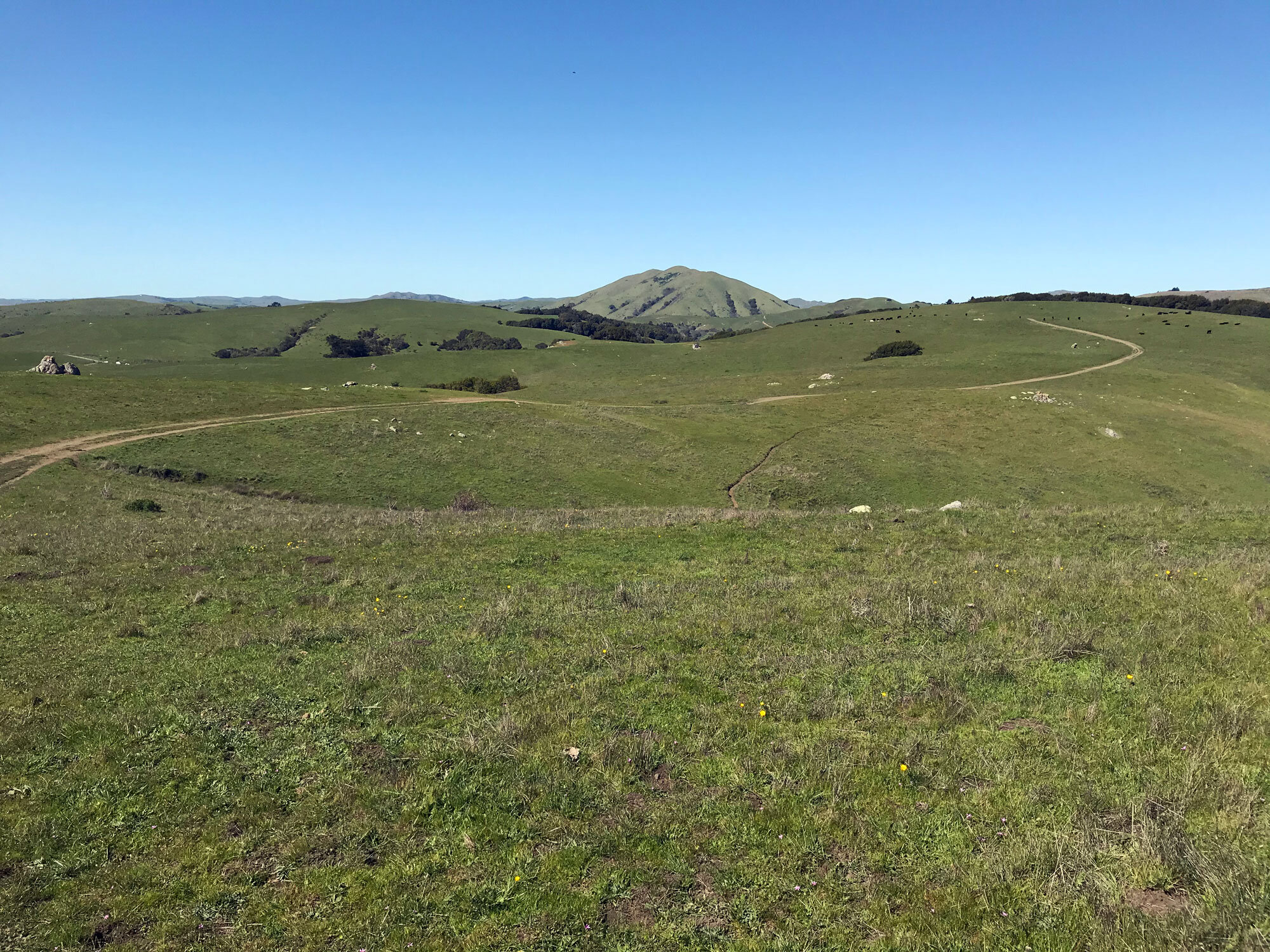
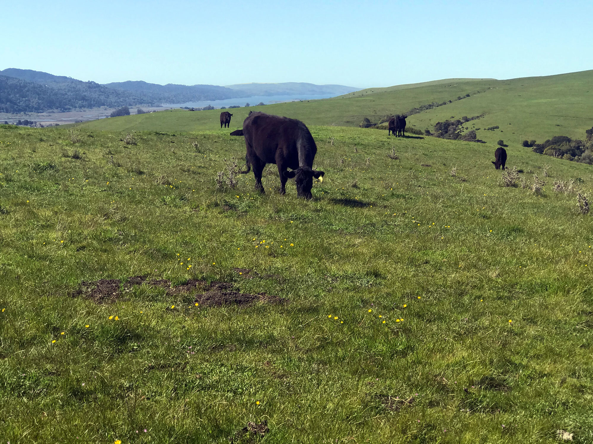
This trail is mostly a gradual incline across pasture (with cows) to the top of Bolinas Ridge. It is fully exposed to the sun except for a few areas of dappled shade and the last 30 minutes of the hike through Douglas firs and redwoods as you approach the Randall Trail. It’s a great trail to hike in winter when the pasture is green and the temperatures are cooler. This is one of the very few trails in Point Reyes that allows dogs — technically, it’s in the Golden Gate National Recreation Area which allows dogs and bikes on most trails.
Park along Sir Francis Drake near the trailhead.
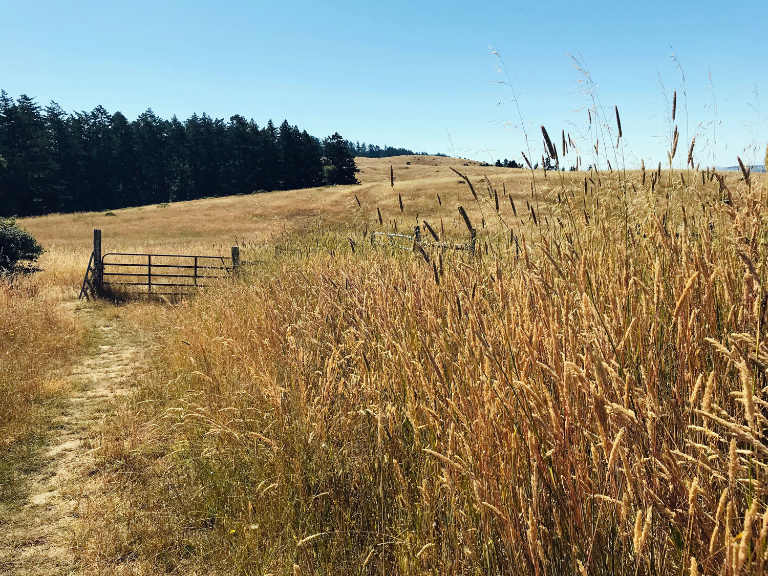
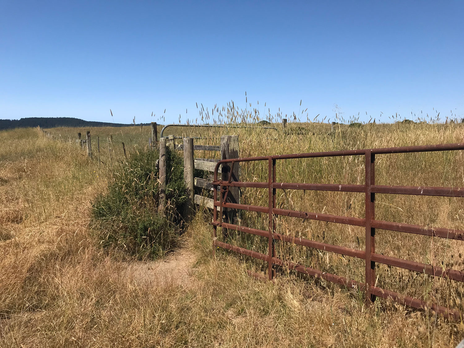
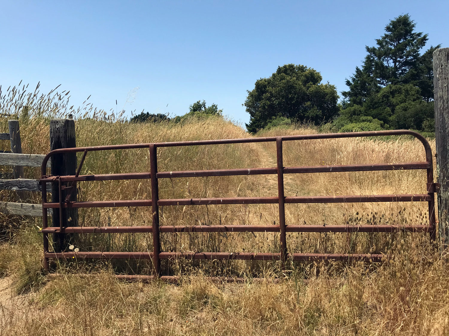
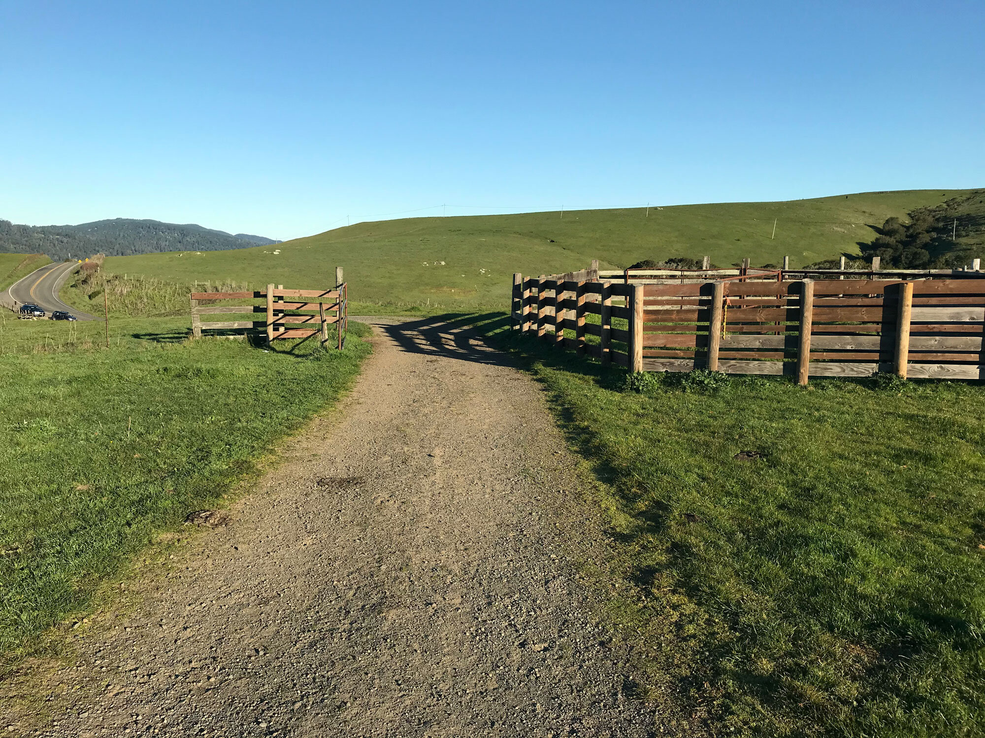
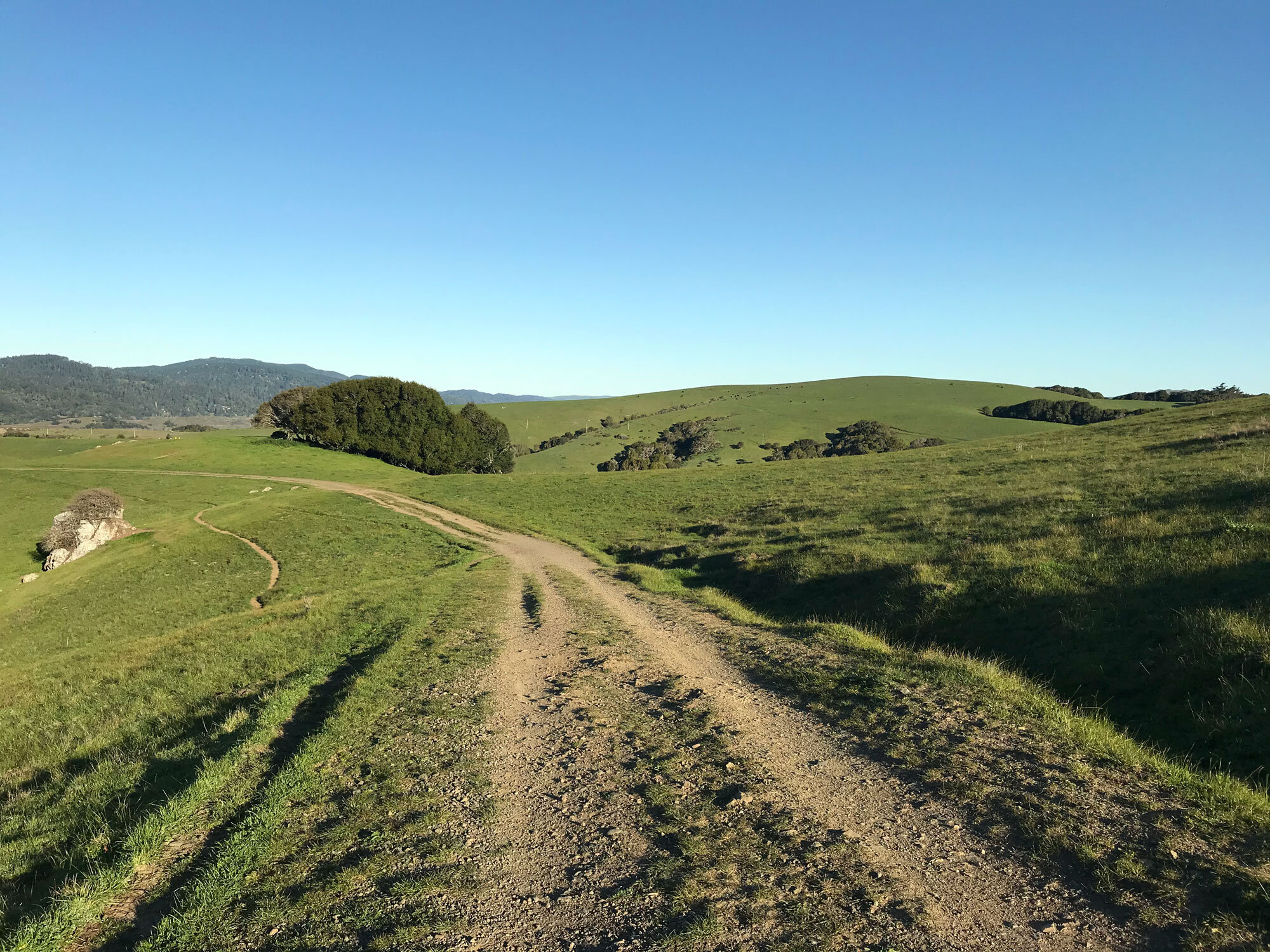
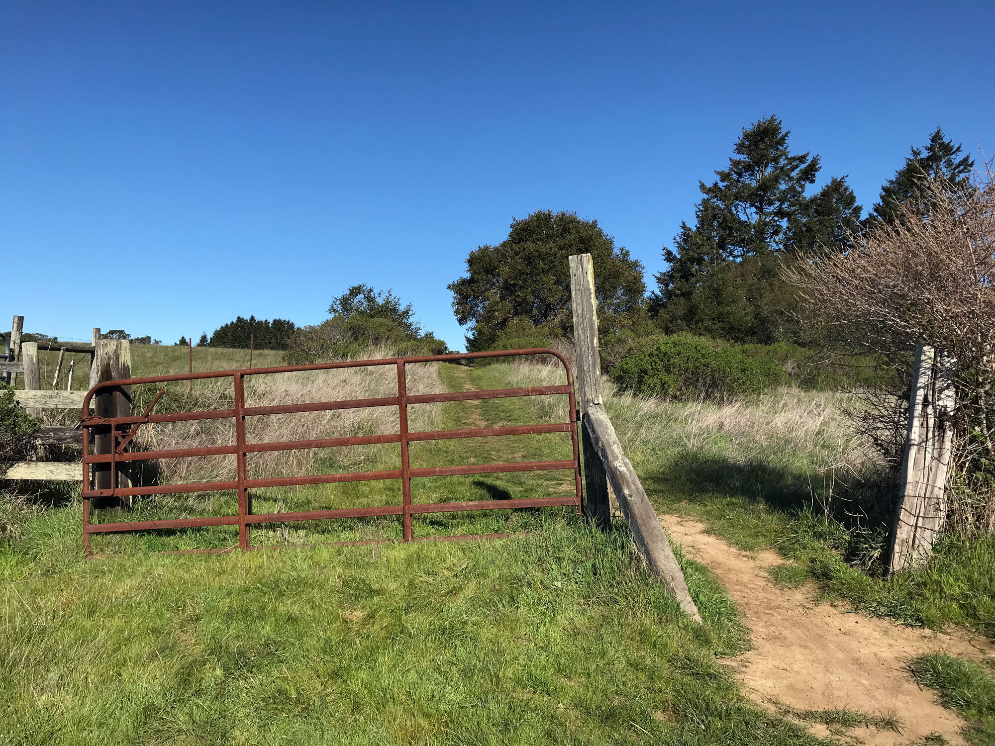
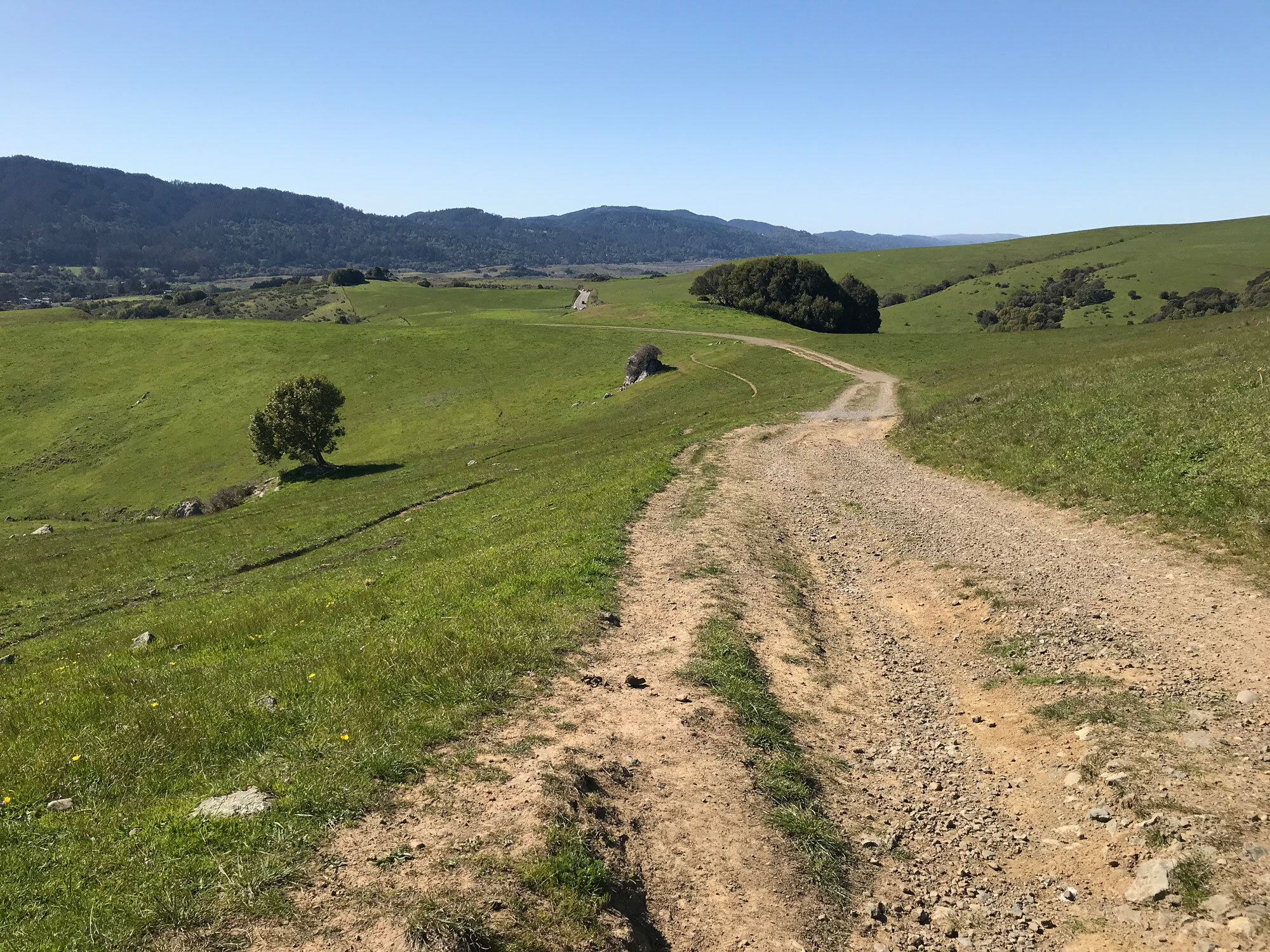
Wind across the pasture in a gradual incline for about 30 minutes, eventually veering to the left, to the first gate on the right side of the trail. Note: I’m not counting the gate with the wooden corral at the very beginning of the trail.
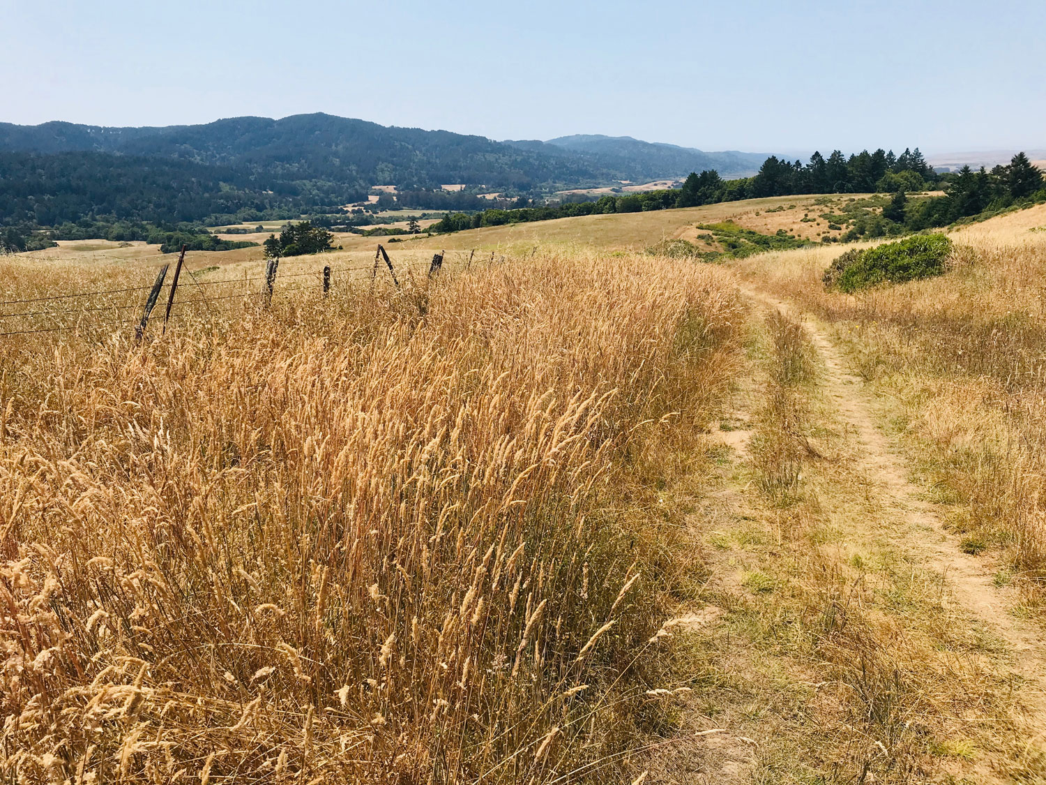
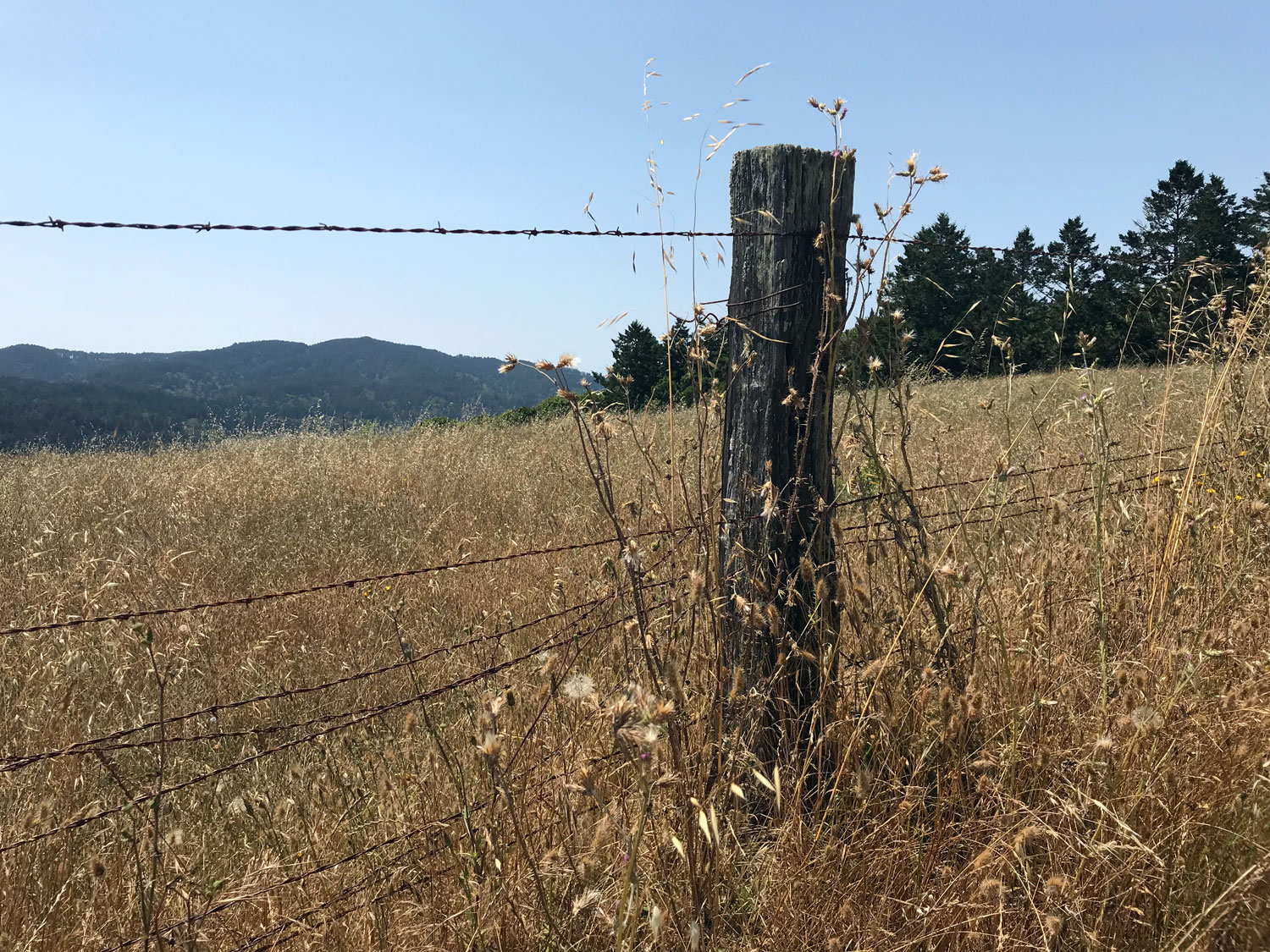
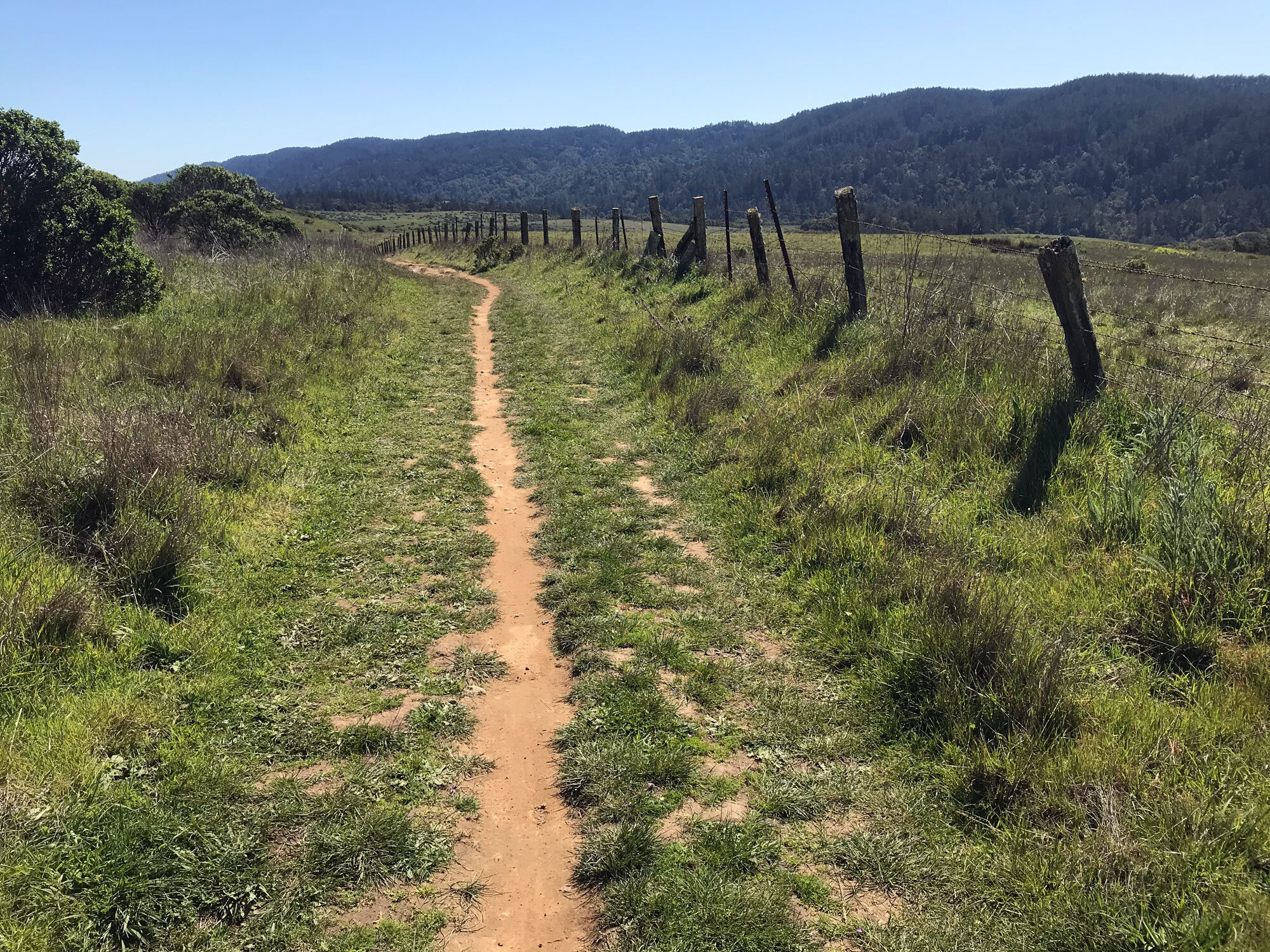
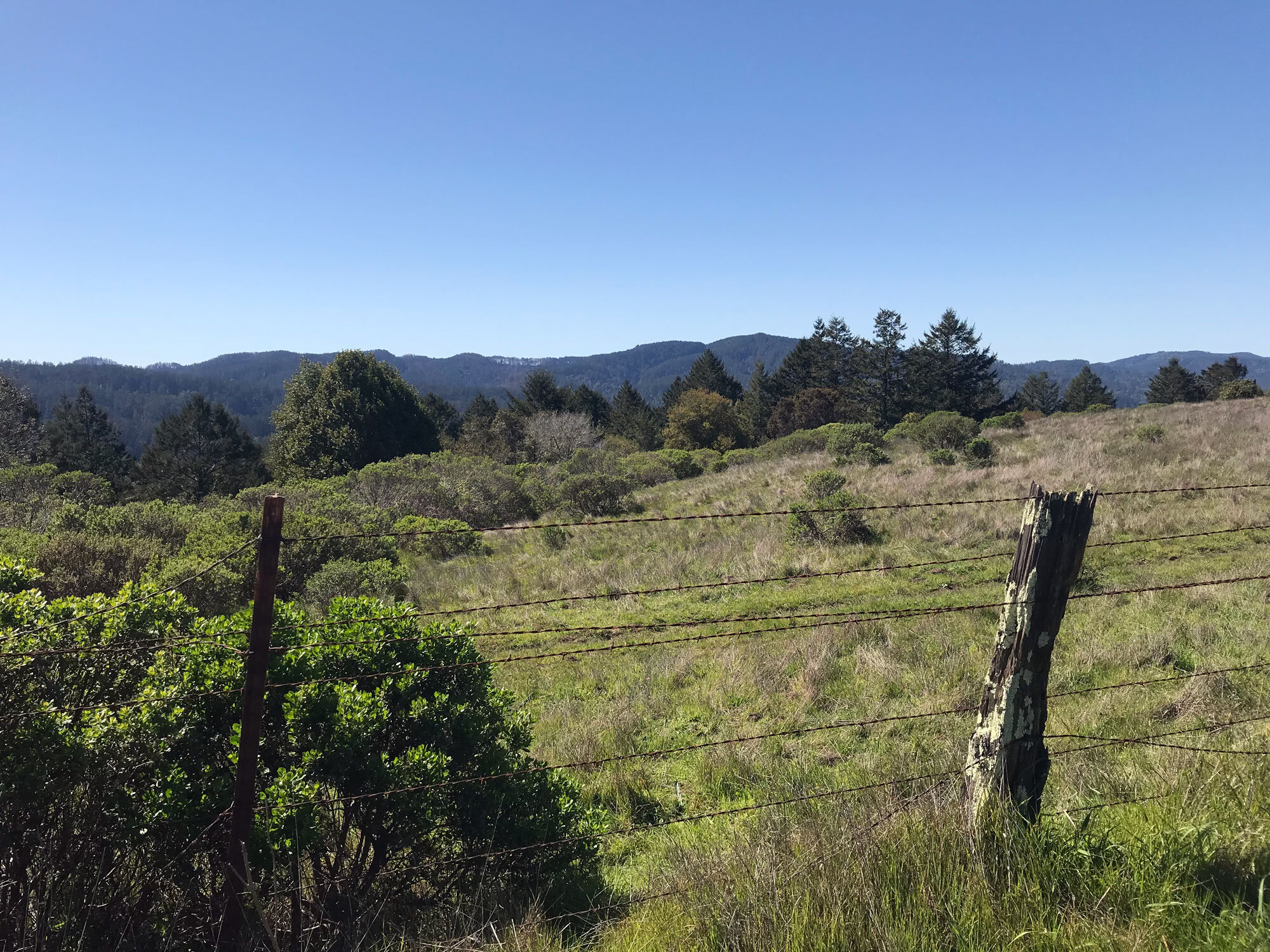
Go through the gate and hike about 5 minutes to the intersection with the Jewell trail. The Bolinas Ridge trail veers to the right with an initial steep incline but levels out. Hike another 10 minutes and you’ll curve left at a ranch fence with many old wooden posts that are a perfect sunning spot for lizards. I call it the lizard fence. You’ll now be hiking south.
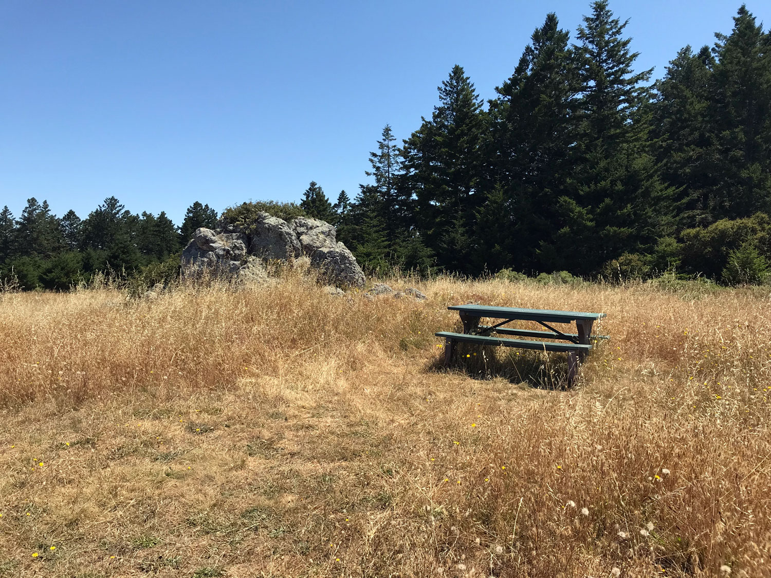
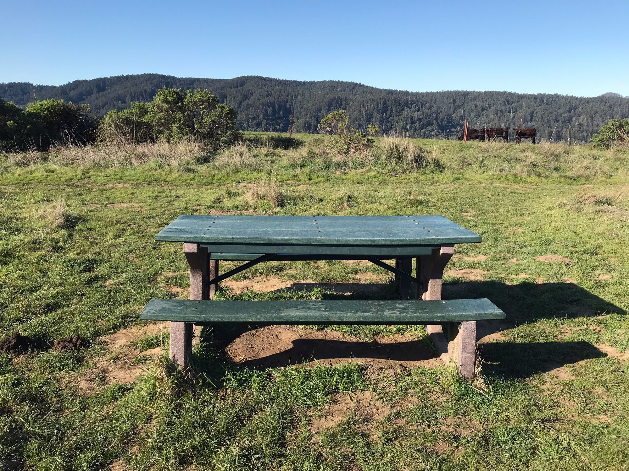
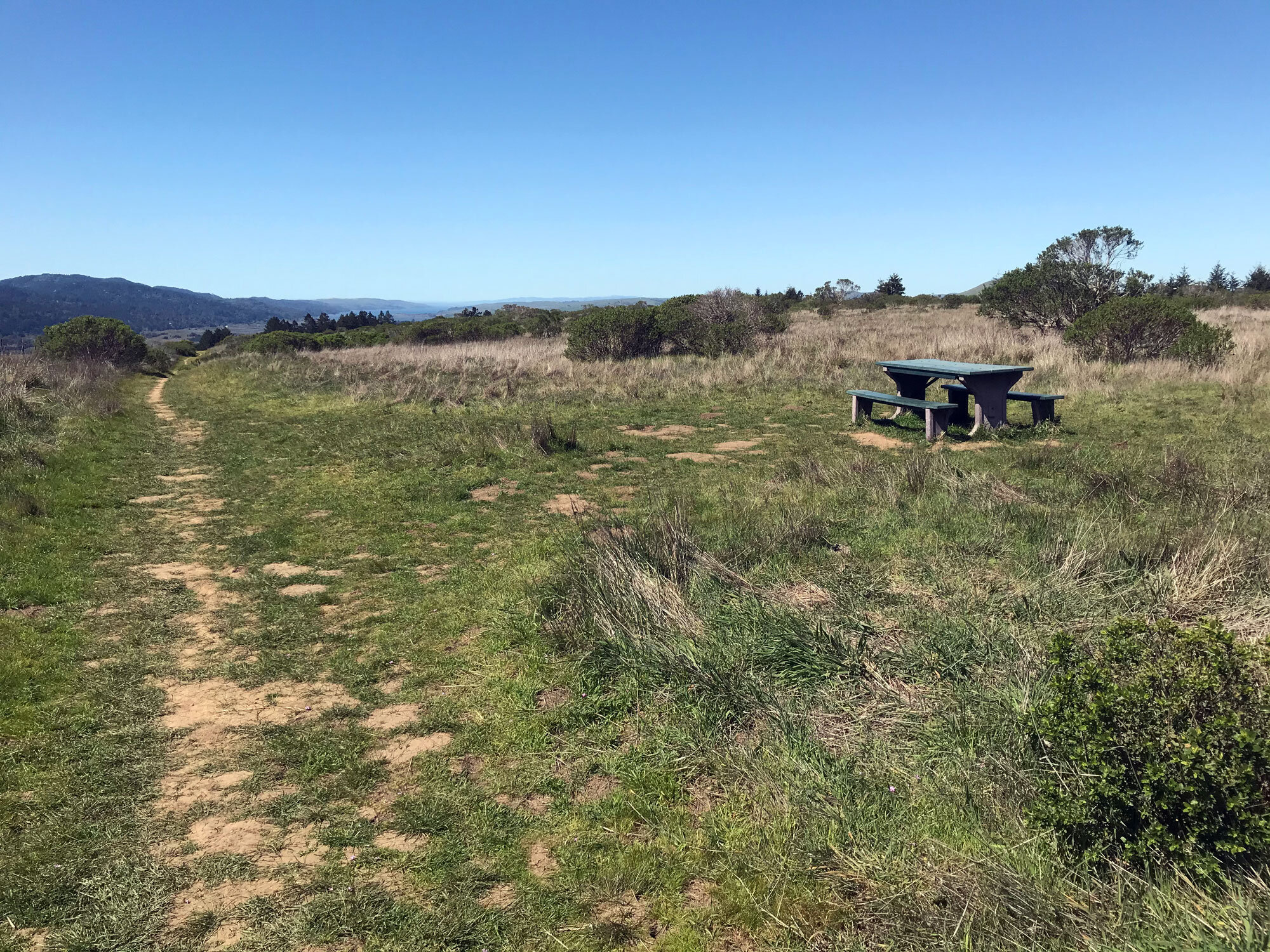
In about 20 minutes you’ll come to the first picnic table and see fir trees on the left but too far away for shade.
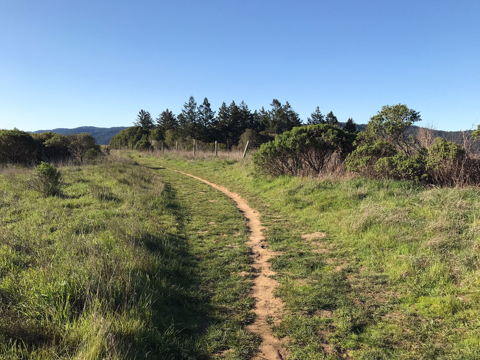
In another 20 minutes you’ll have dappled shade from patches of oaks, bay and firs.
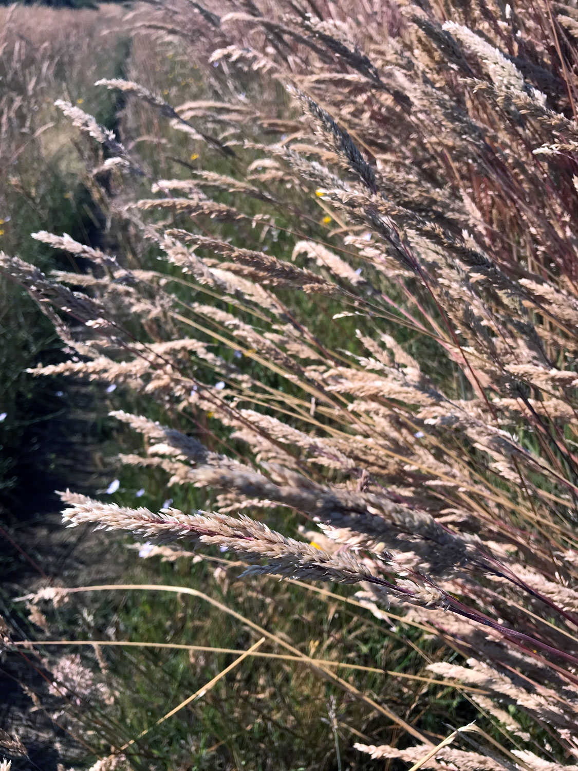
Another 10 minutes brings you to the second gate and an area that is fully exposed to the sun. You’ll pass a sunken marshy area on the right that’s a favorite of red wing blackbirds. As you cross the vast pasture, you may notice the dried grasses bend nearly to the ground, an indication of the strong prevailing south wind. It’s a gradual incline for about 30 minutes to some trees but not much shade. The trail gets steeper and hiking another 10 minutes leads to a shady oasis of Eucalyptus trees. Take a water break and watch for lizards on the tree trunks.
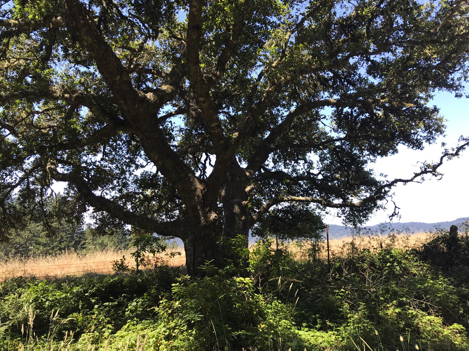
A gradual incline for about 5 minutes brings you to the second picnic table and the third gate. The trail levels and you’ll see the lizard fence on your right. Another 10 minutes puts you into trees and dappled shade. Watch for a majestic oak on the right and a lovely view of the pasture and hills beyond.
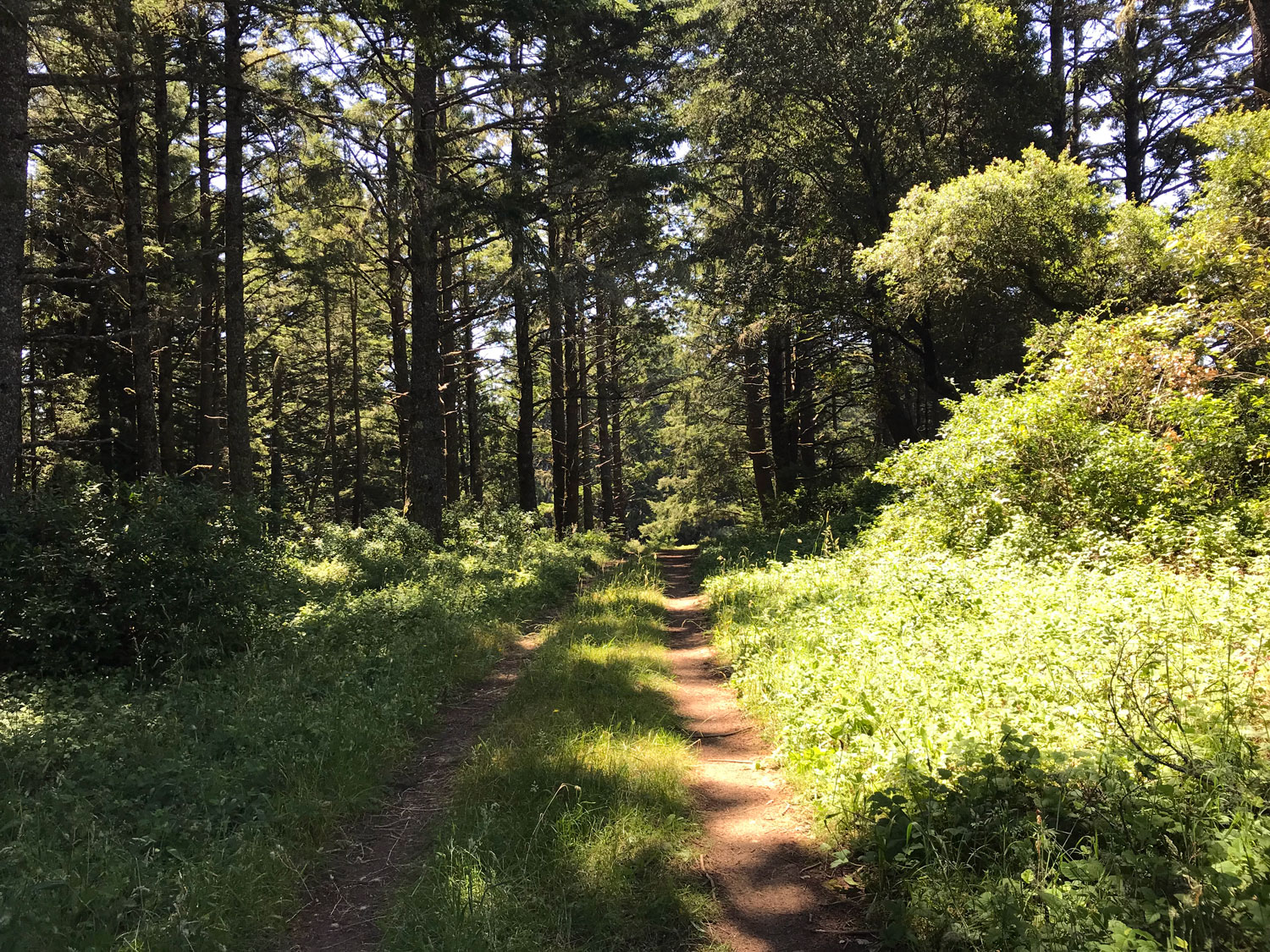
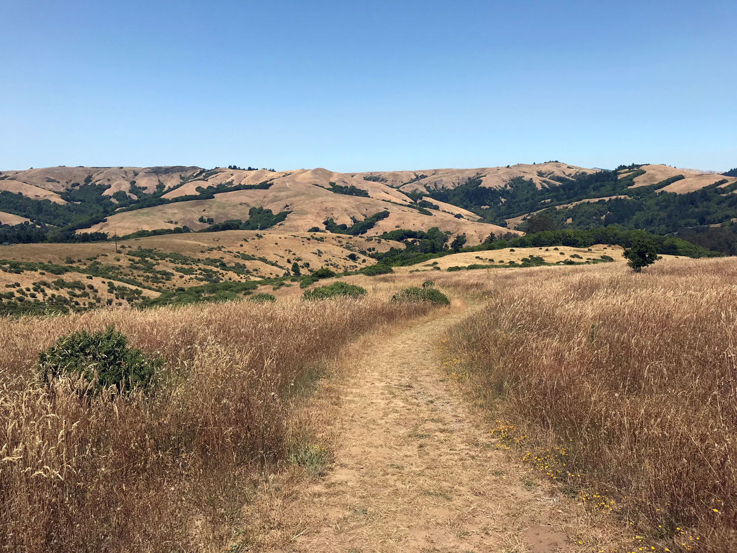
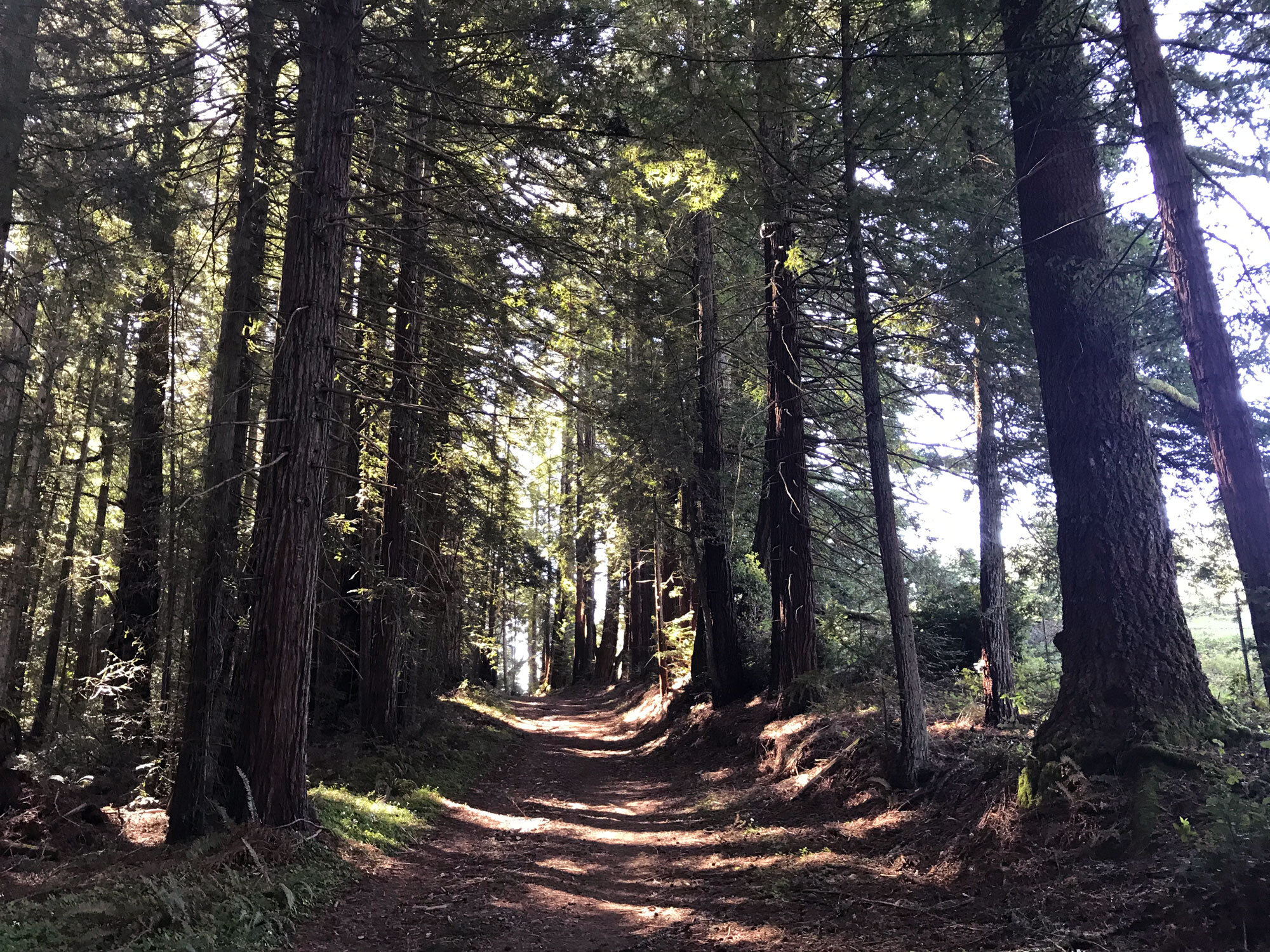
Shortly, you’ll come to the intersection with the Shafter trail and within 15 minutes you’ll begin to see the landscape change with forest plants such as redwood violets and huckleberries. Watch for animal paths worn into the trail that cross from forest to field. Douglas firs are on both sides of the trail now and shade is finally abundant.
Hiking another 10 minutes puts you in the redwoods and moss-covered trees. Hike about 15 minutes more to the intersection with the Randall trail.
Turn around and hike back. It will be faster since it’s mostly downhill.
In 30 minutes, you’ll return to the intersection with the Shafter Trail, another 10 minutes to the third gate and picnic table, then 40 minutes to the second gate and dappled sun. Watch for checker lilies blooming in the shaded areas.
Another 30 minutes brings you to the first picnic table and the lizard fence with views of Tomales bay in the distance.
Another 30 minutes brings you to the intersection with the Jewell trail and 5 minutes more to the first gate. Take a few minutes to explore the rocky outcroppings directly across from the gate for lizards and wild flowers.
In less than 30 minutes you’ll be back at the trail start.
Shafter Grade Trail to Bolinas Ridge Trail
The Shafter Grade Trail is a 1.7 mile connector trail between the Bolinas Ridge Trail and the Leo T Cronin Fish Viewing Area in Lagunitas. Get a friend to drop you off at the Leo T Cronin Fish Viewing Area in Lagunitas and to pick you up at the Bolinas Ridge Trailhead in Olema. Bikes are allowed so that’s another option. Starting your hike at the Lagunitas end, you’ll hike steeply uphill for 1.7 miles and then have a mostly downhill hike with beautiful views to Tomales Bay for the last 5.2 miles to the Bolinas Ridge Trailhead in Olema.
Starting at the Leo T Cronin Fish Viewing Area
Walk from the parking lot along the creek about 10 minutes to the Shafter Grade Trail on the right.
Hike 1.7 miles on the Shafter Grade Trail through the forest on a steep ascent to the Bolinas Ridge Trail.
Turn right on the Bolinas Ridge Trail toward the Jewell Trail and Sir Francis Drake Blvd (Olema).
Hike 5.2 miles to the Bolinas Ridge Trailhead. It’s mostly downhill with spectacular views of Tomales Bay. The trail has very few shade trees so bring a hat.
Total: 6.9 miles (about 2.5-3.5 hours depending on how fast you walk.)
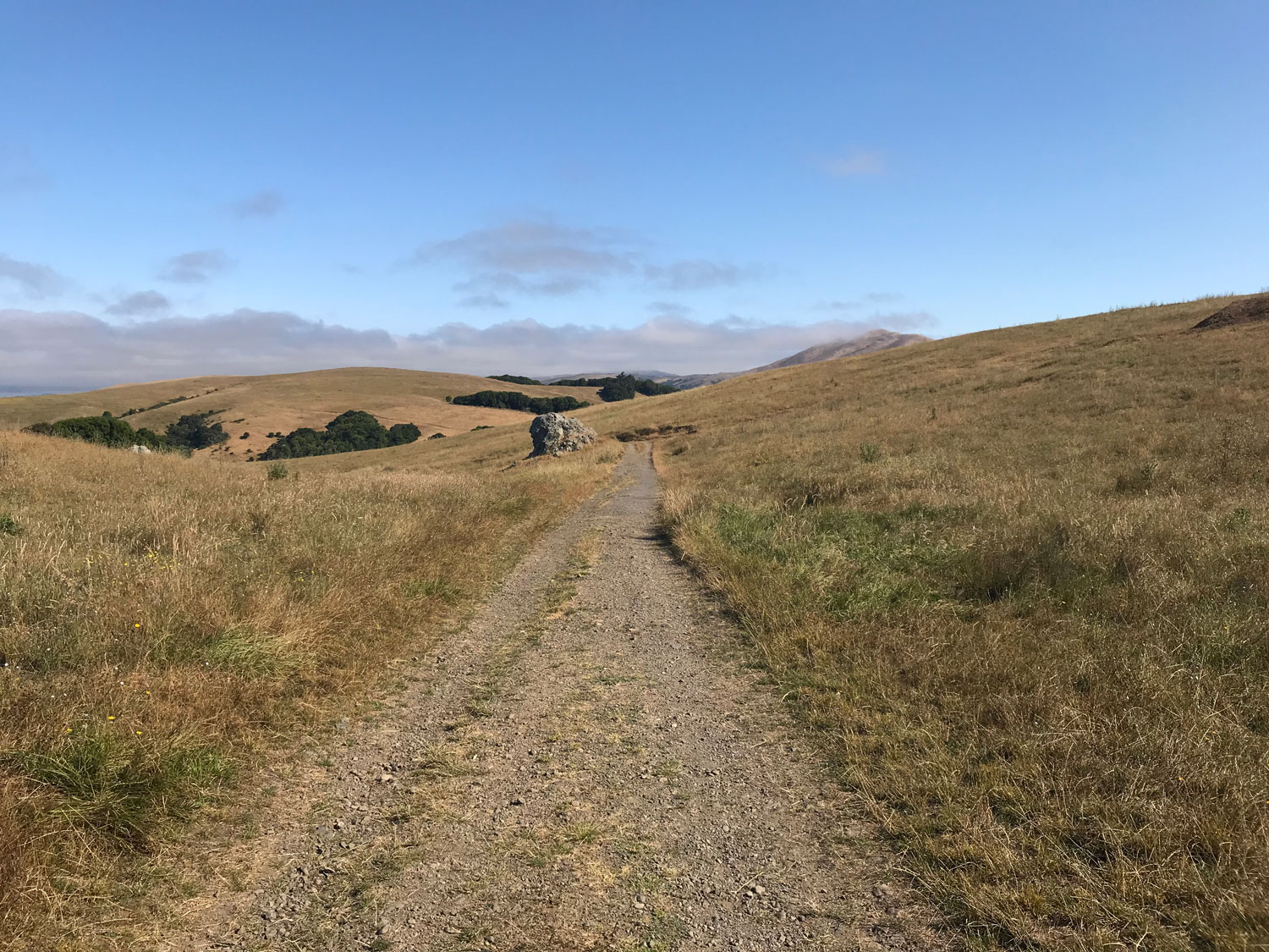
Bolinas Ridge North (Olema to Randall Trail) in summer
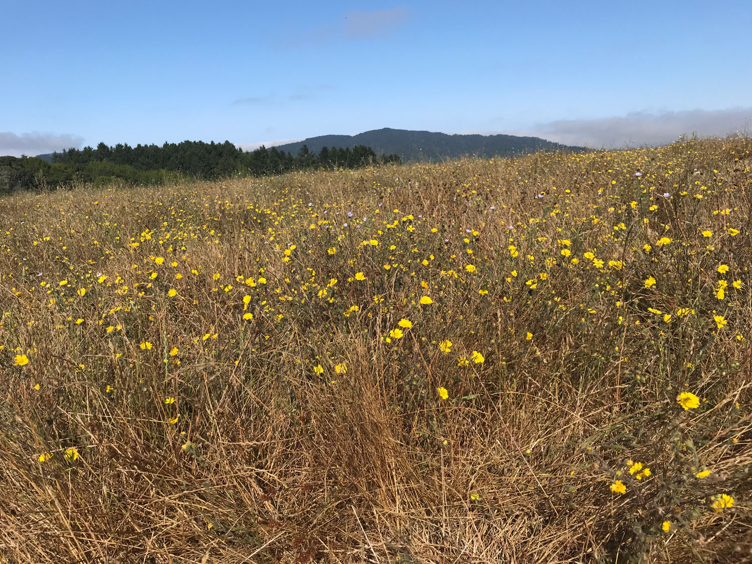


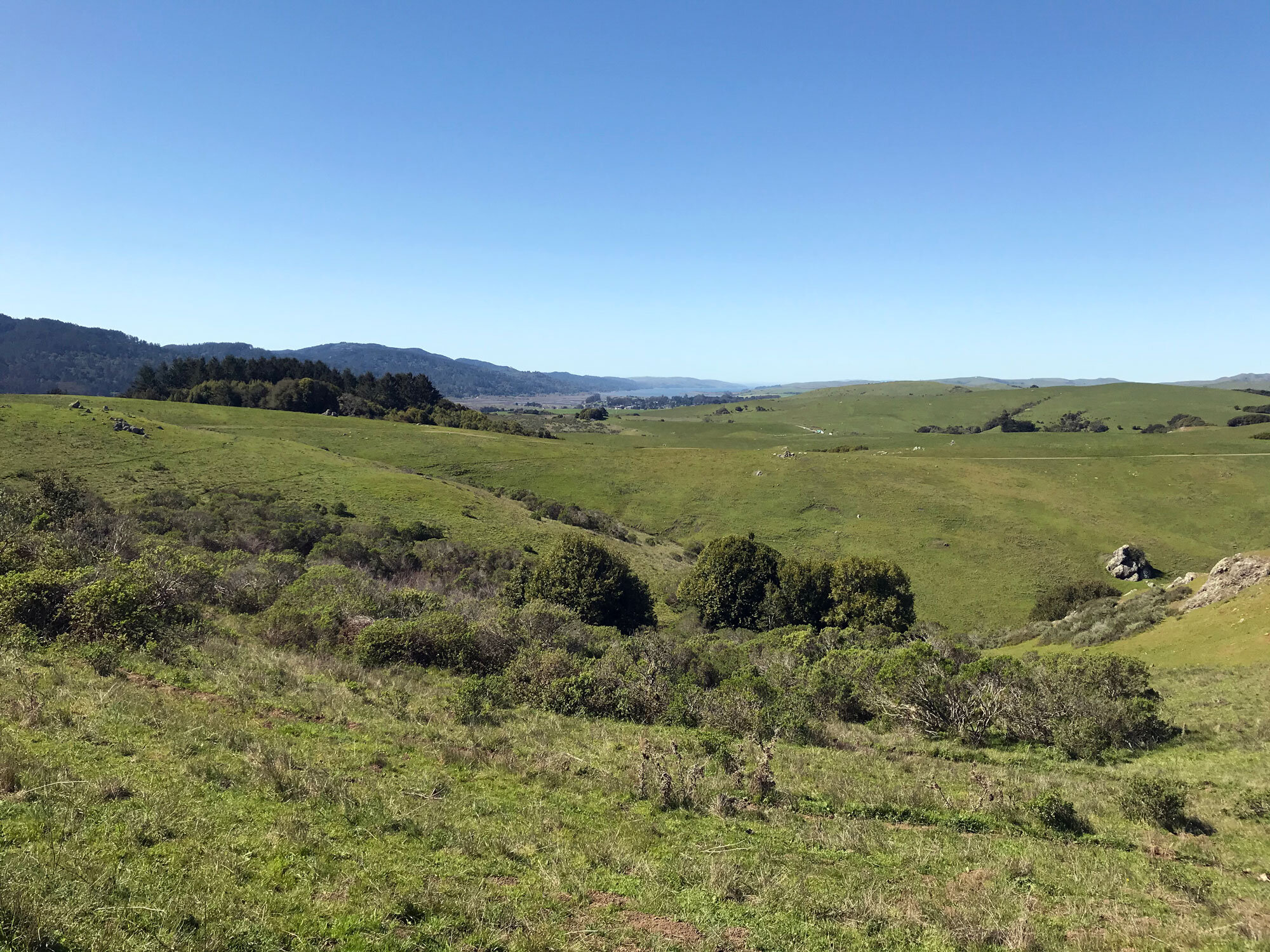
Bolinas Ridge North (Olema to Randall) in spring


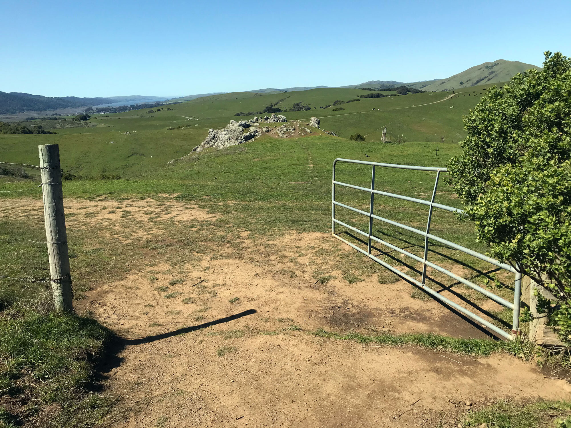
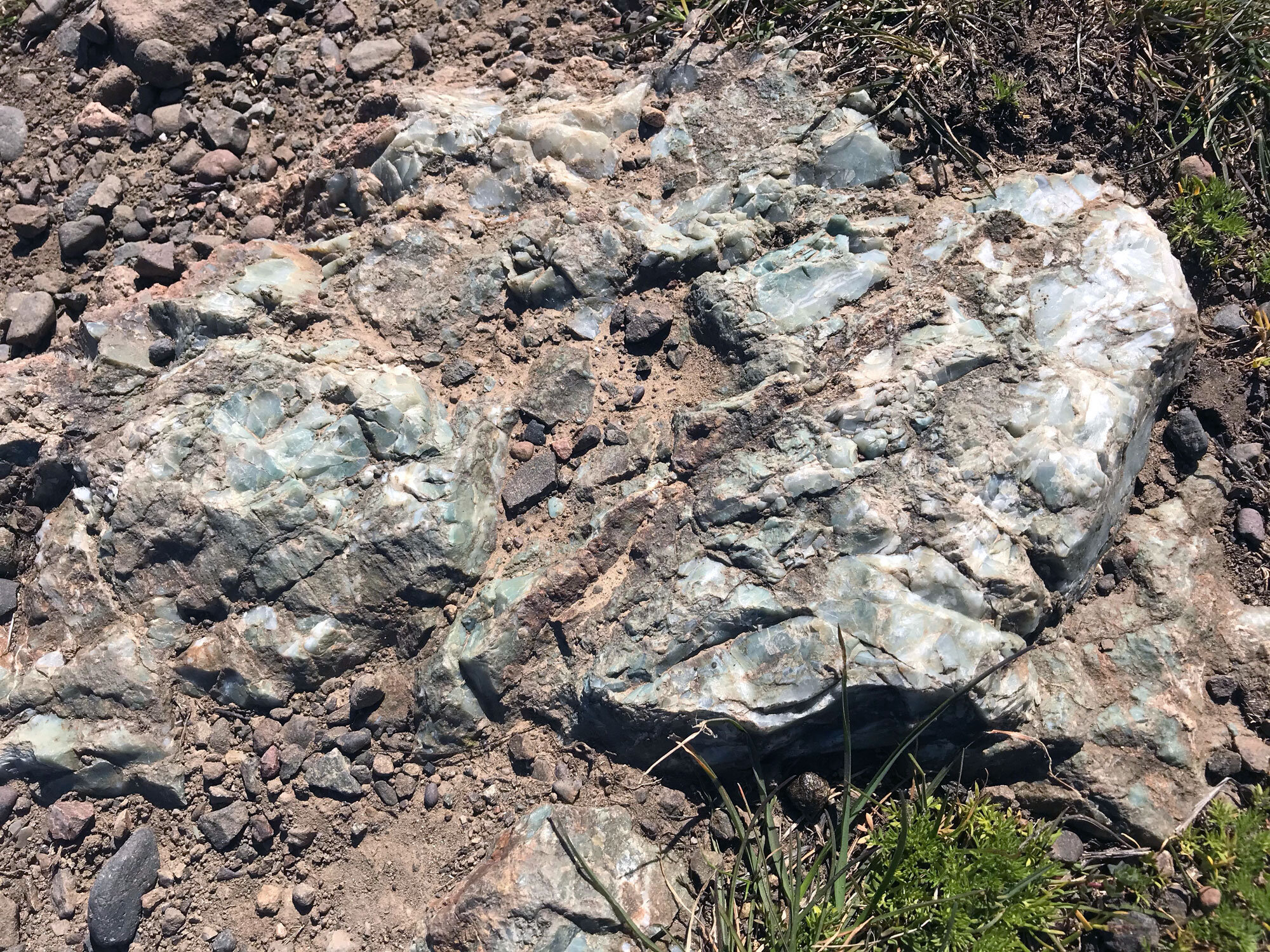

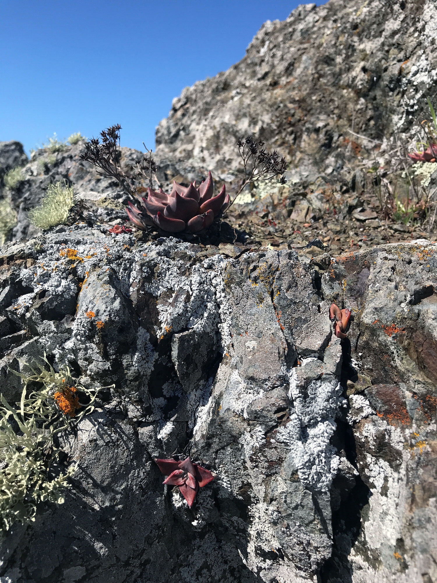
Explore the rocky outcroppings
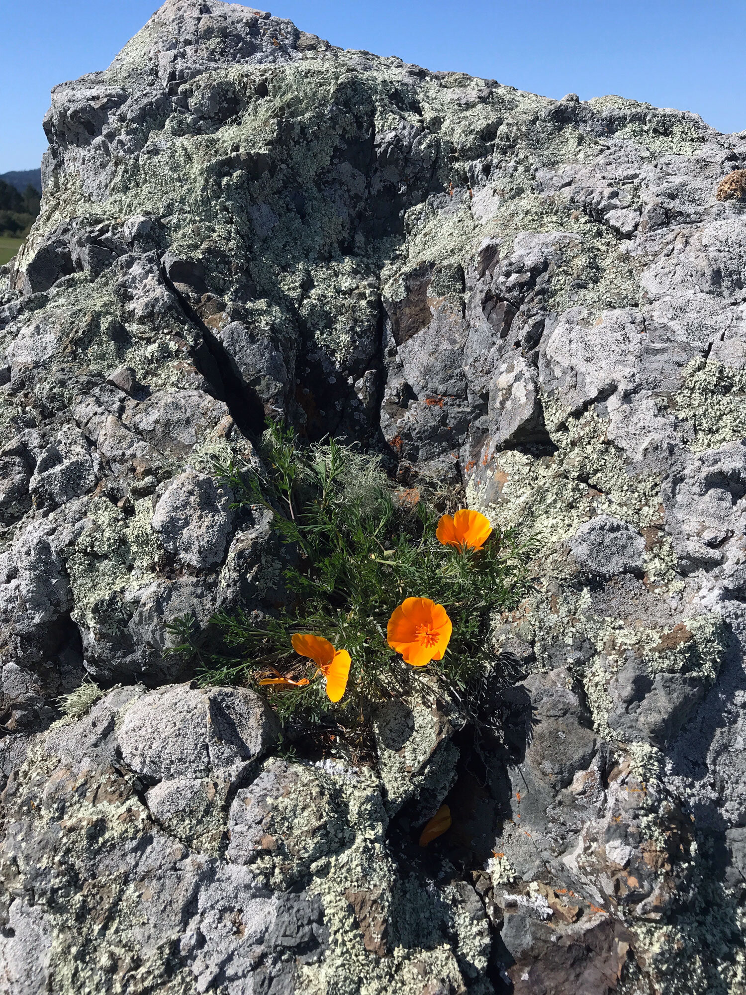
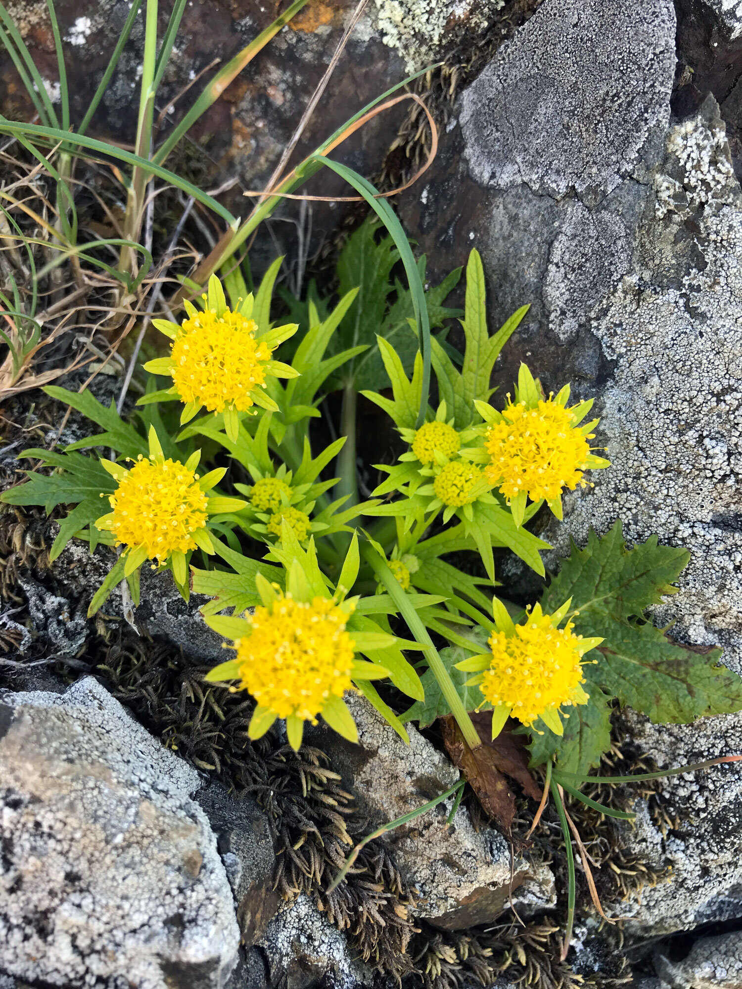
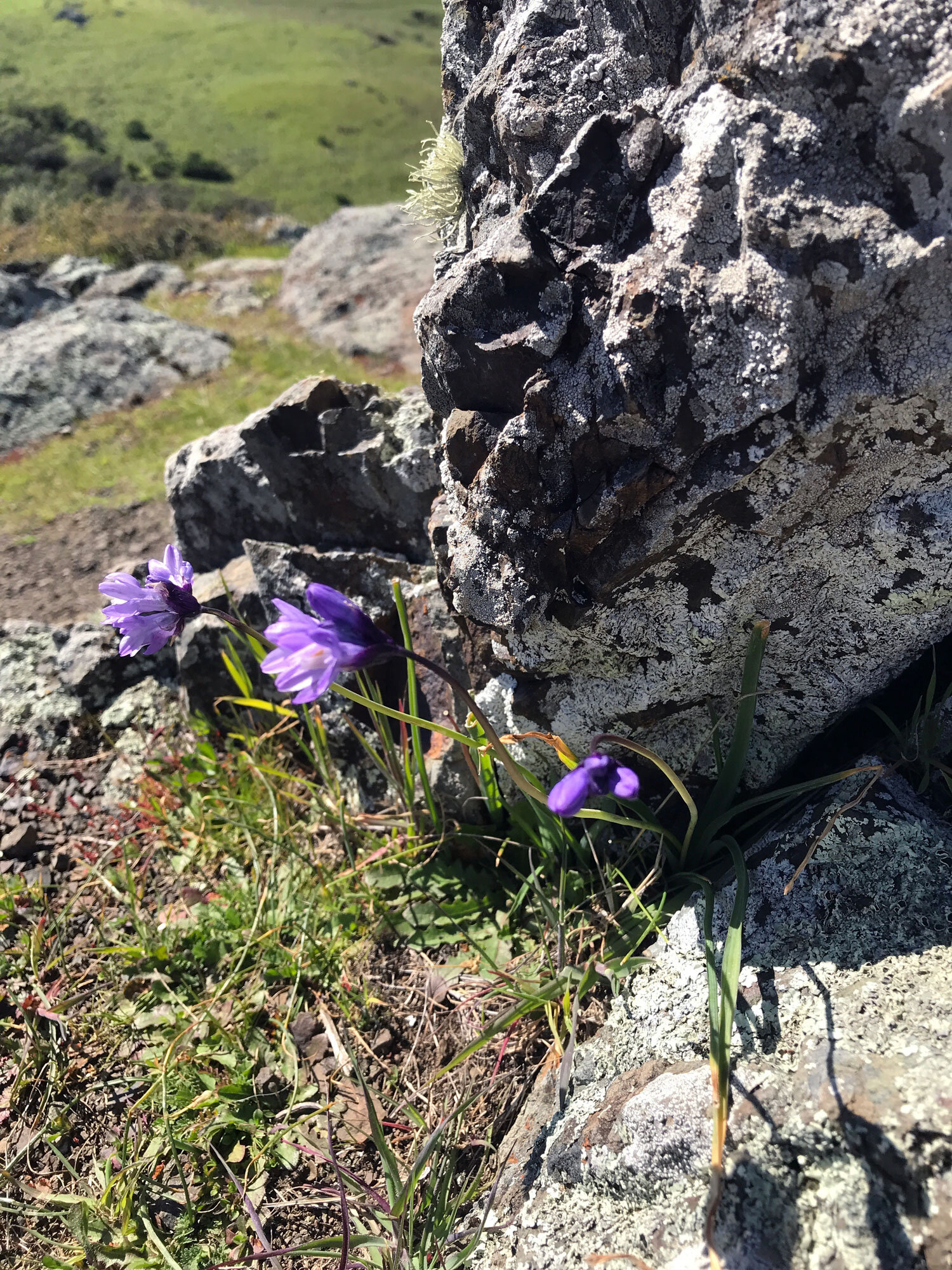
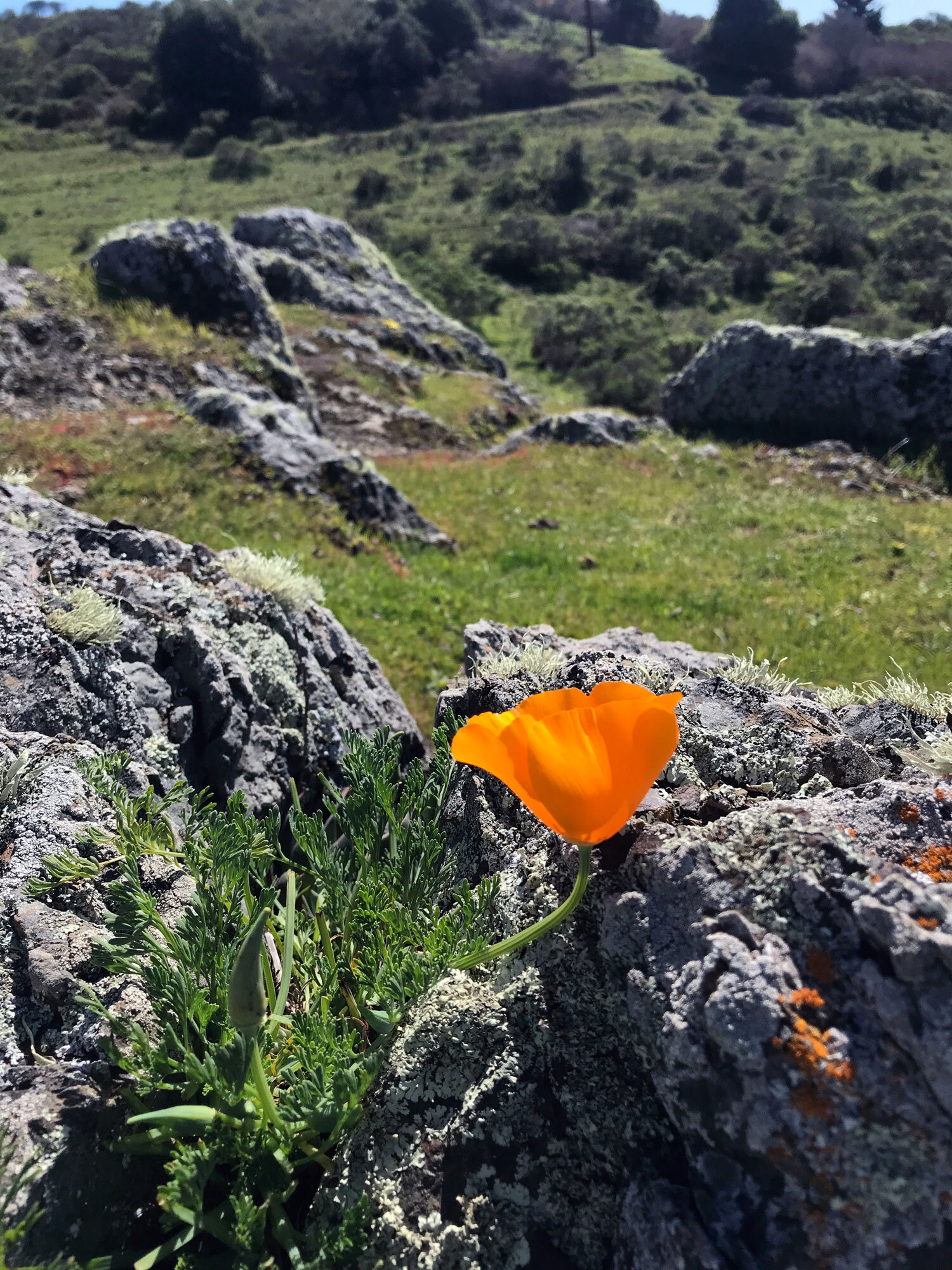
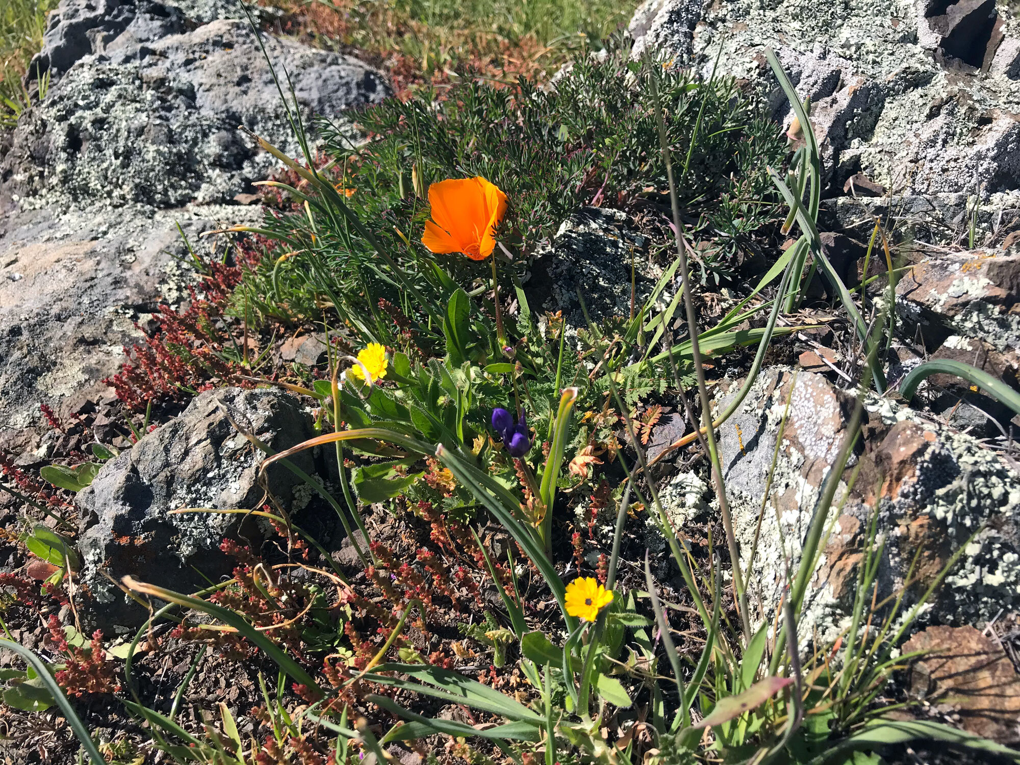
Located about 30 minutes from the trail start on Sir Francis Drake, directly across from the first gate is a large rocky outcropping ripe for exploration. From a distance, these rocks may look barren, but as you get closer, spots of color emerge and you’ll soon realize these rocks are home to a diversity of plant and animal life. They are also a favorite of poison oak, so pay attention. I discovered bright orange poppies wedged in crevasses where you would not imagine anything could grow. A great place to pause and enjoy the view.


Volunteer Opportunity: Visitor Services

Work alongside park rangers and volunteers to staff the visitor center desk at the Bear Valley Visitor Center and/or Lighthouse Visitor Center. Assist visitors by providing information about the park and the surrounding area.
Provides an opportunity to learn about cultural, historical, and natural resources of national significance and to develop a deeper connection with Point Reyes National Seashore.