
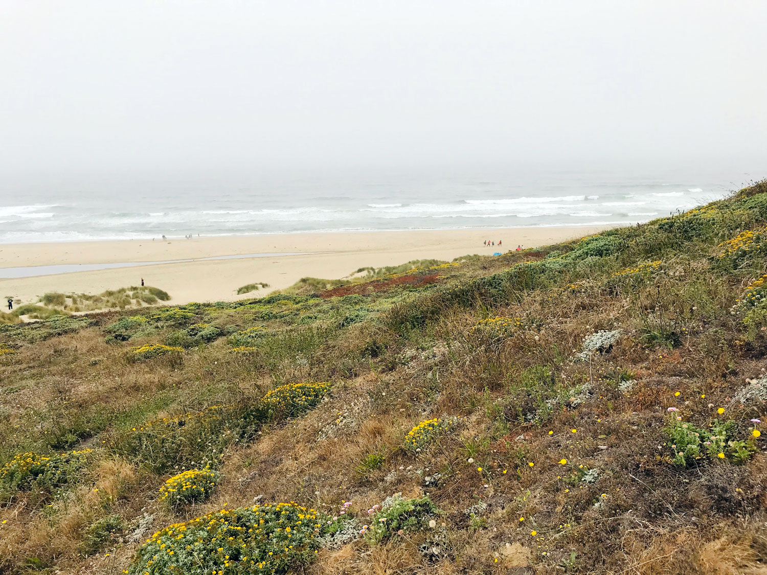
Kehoe Beach
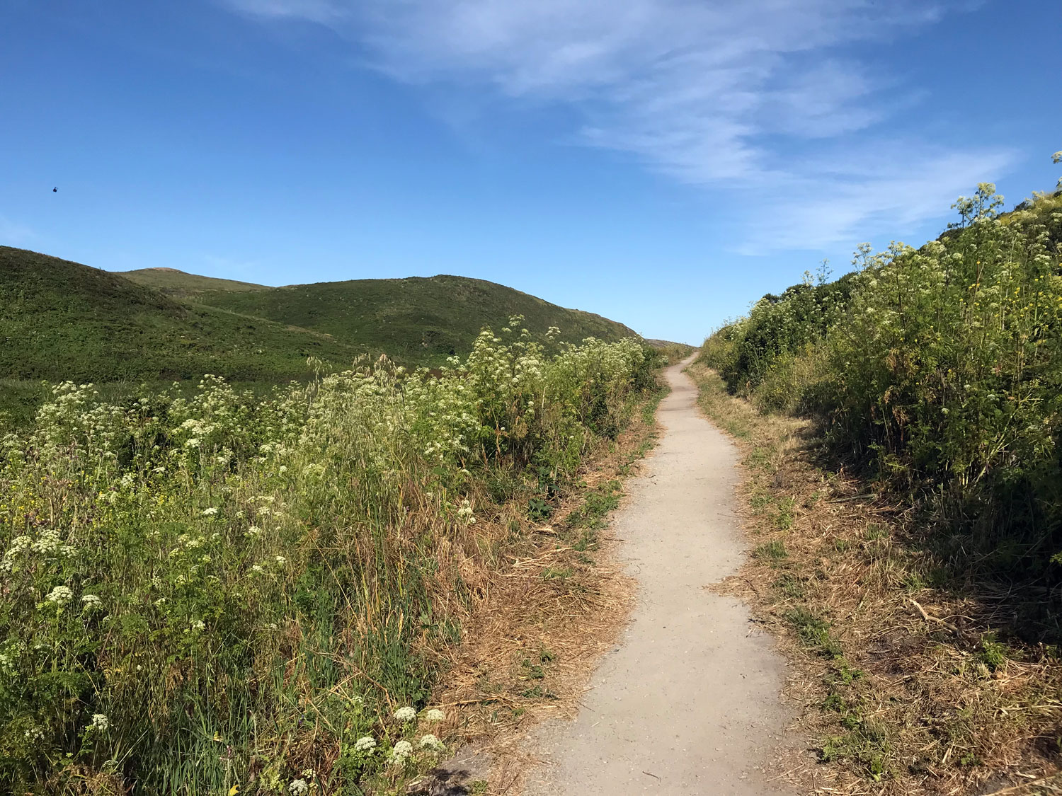


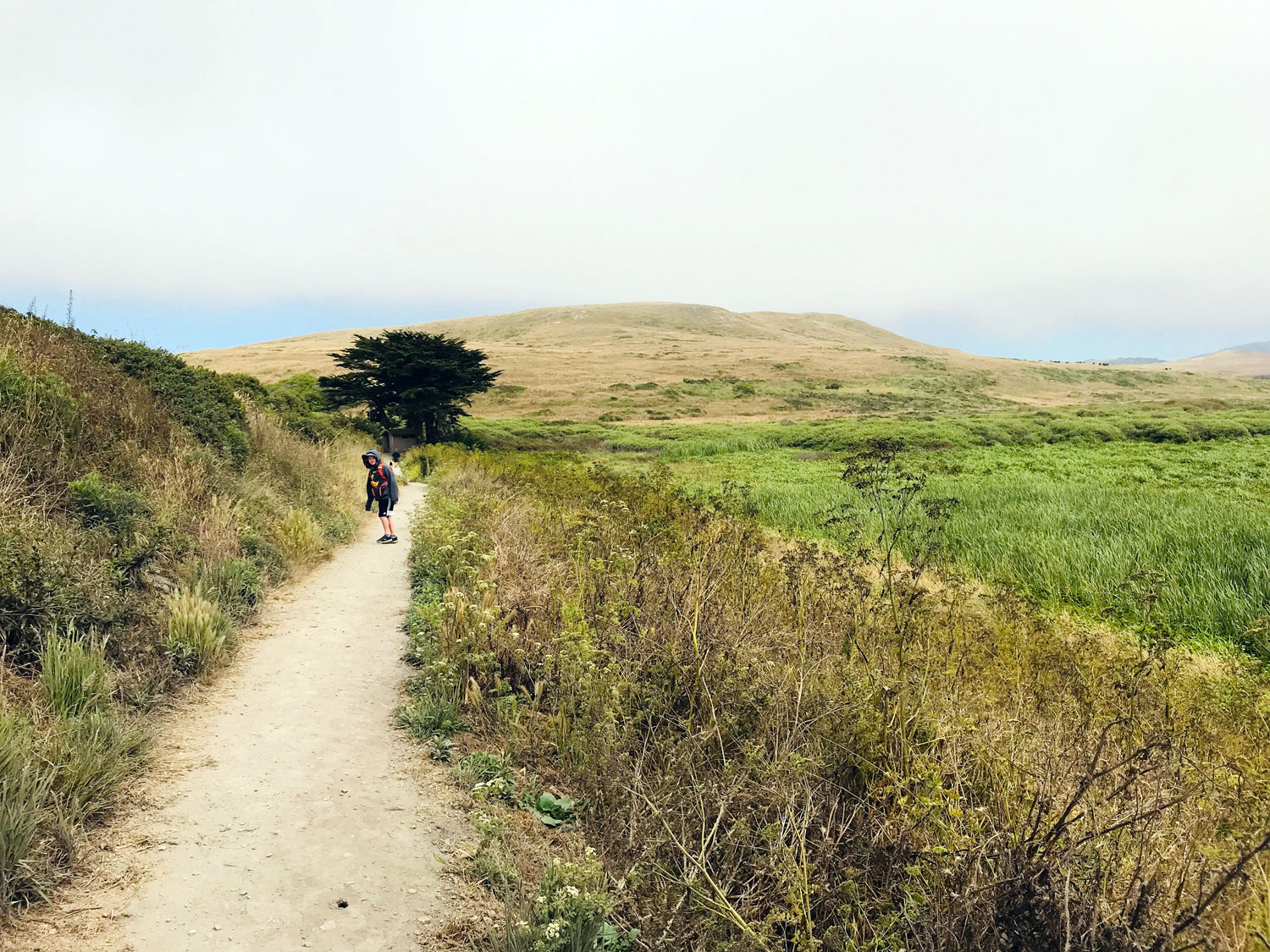
Trail length: 0.7 miles each way
Time: 20 minutes
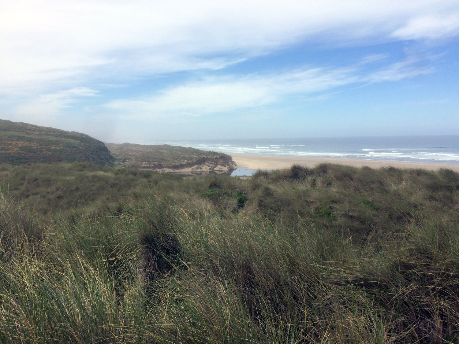
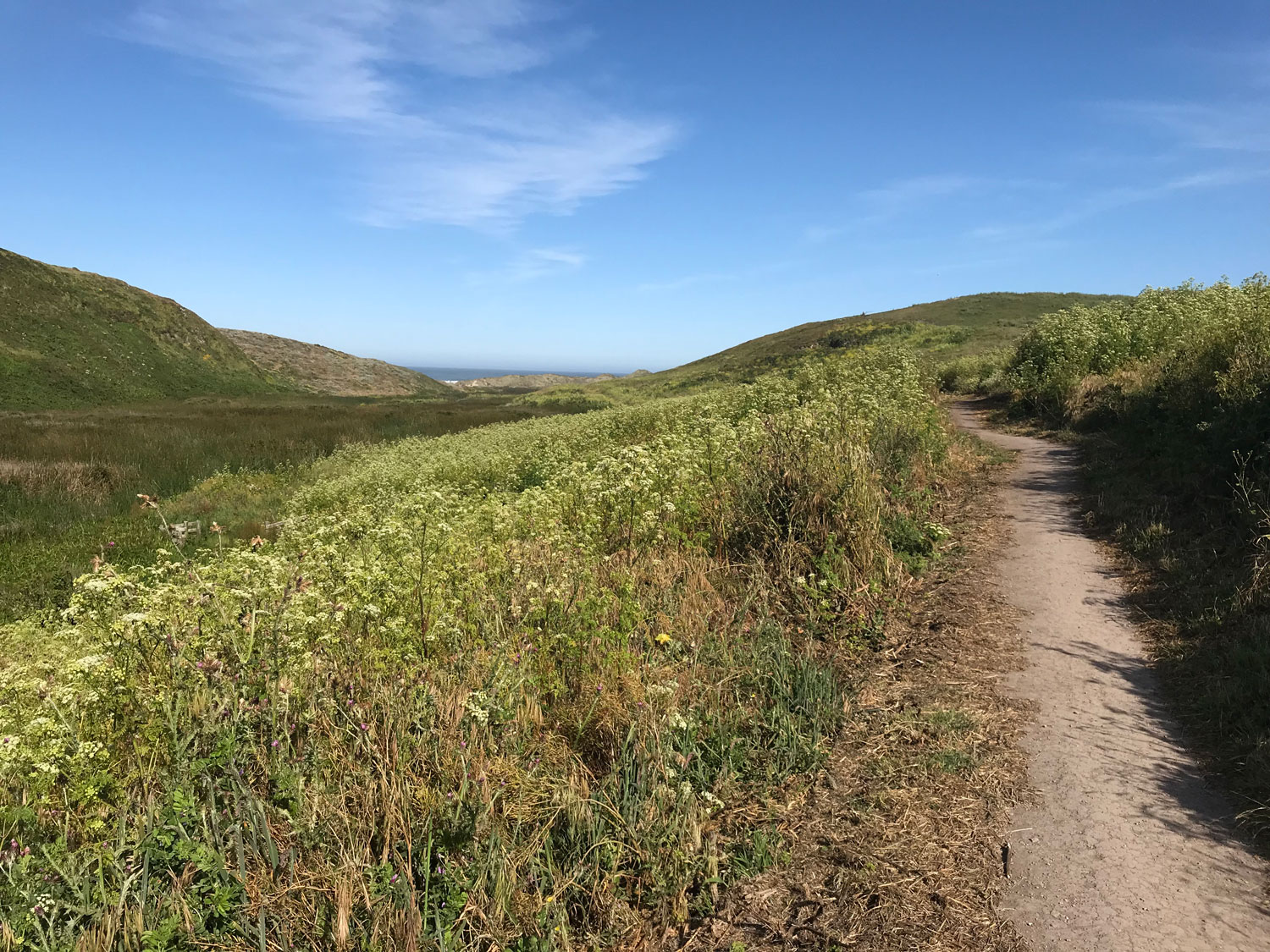
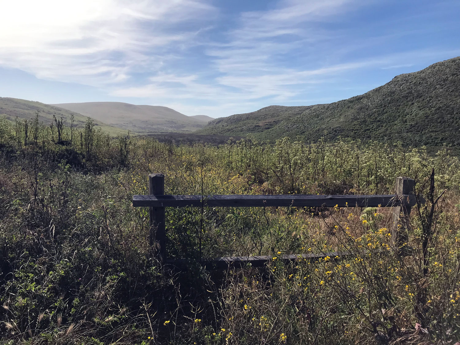
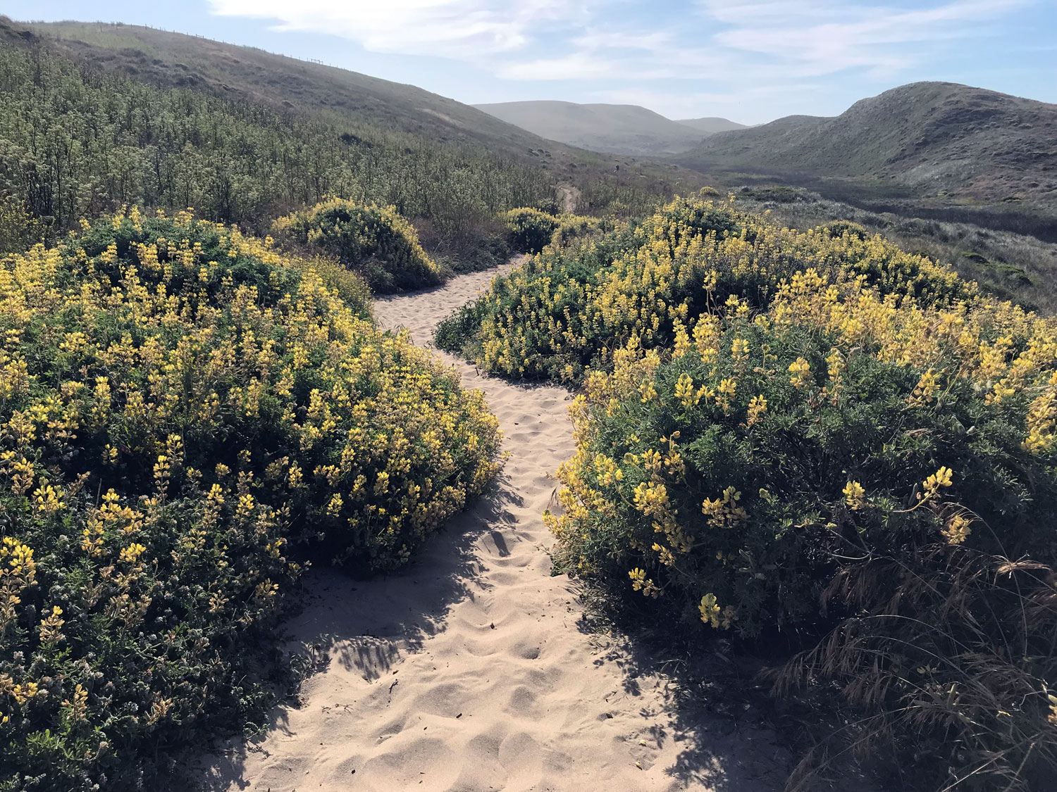
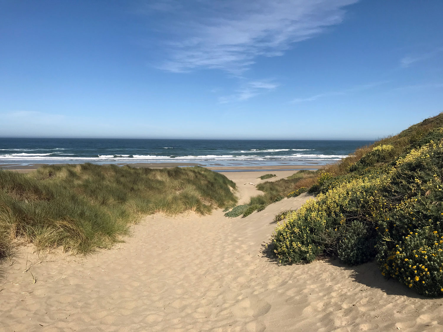
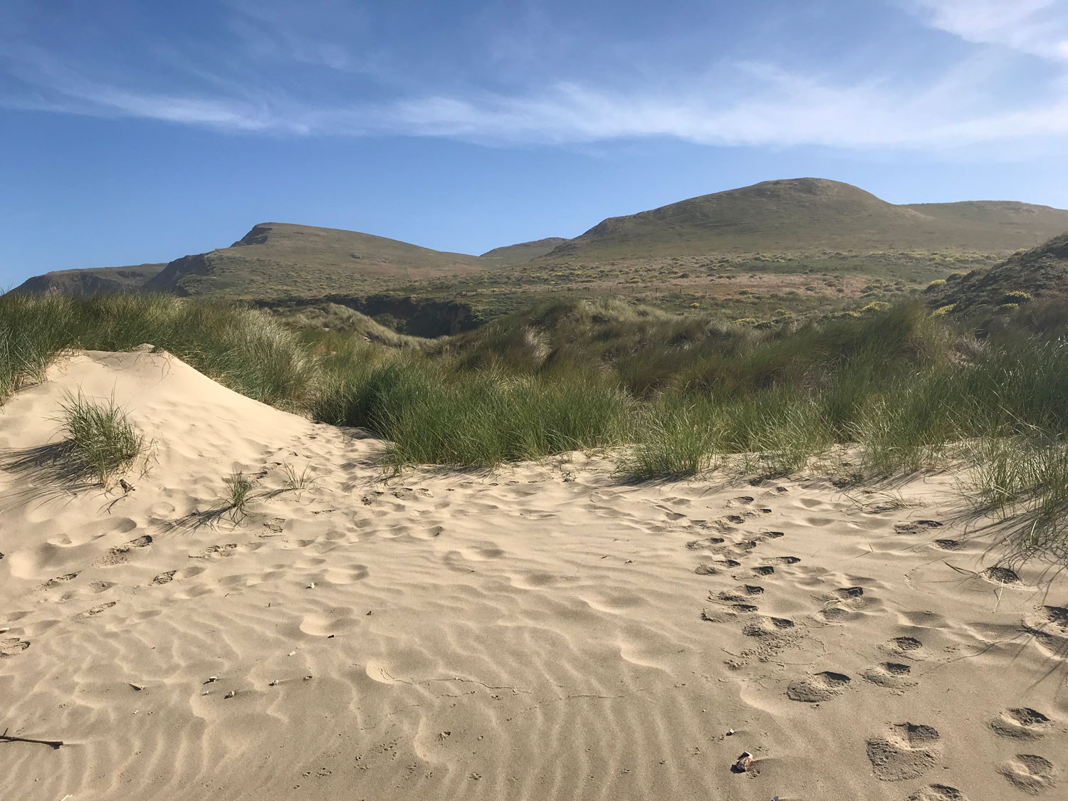
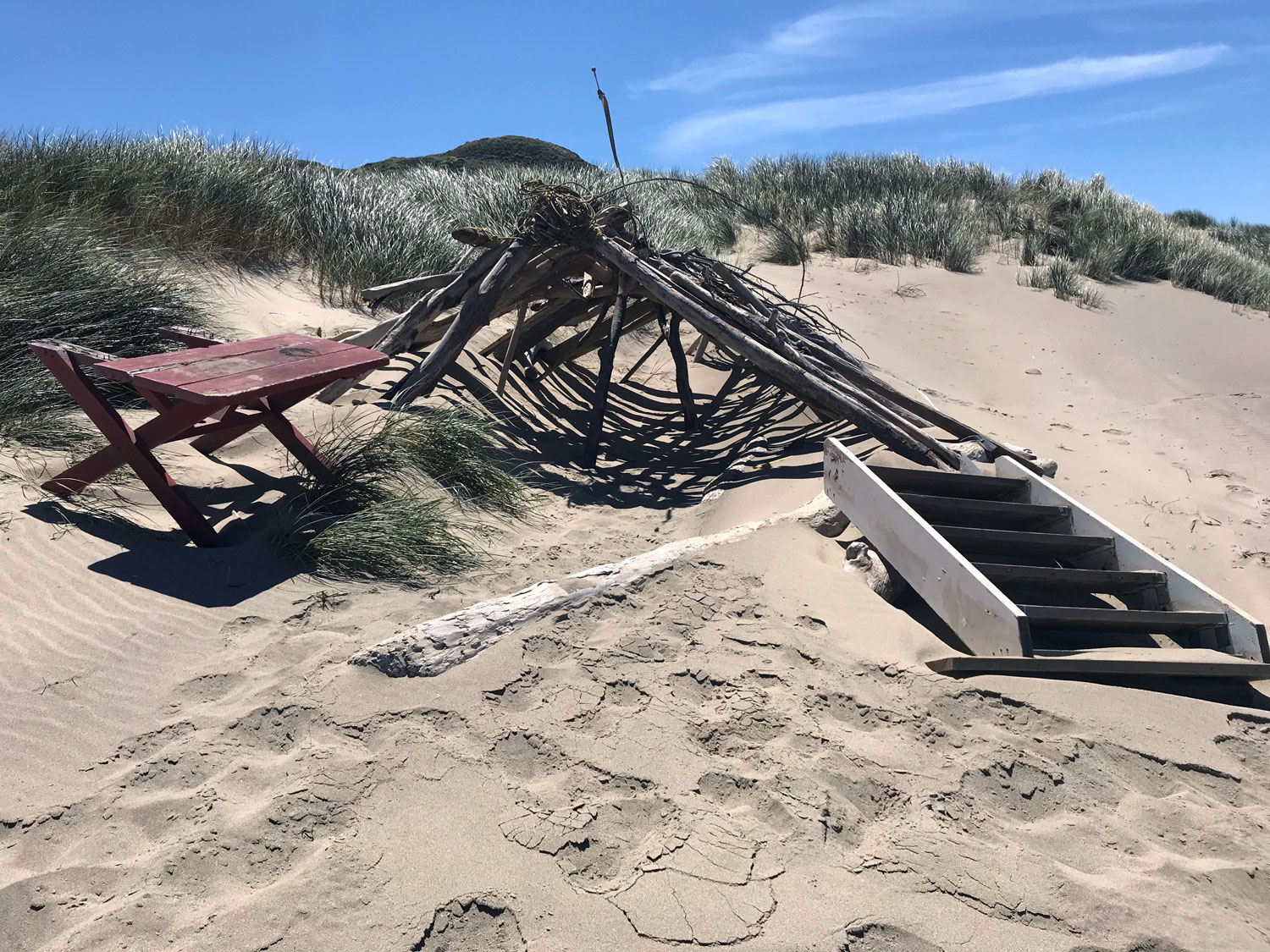
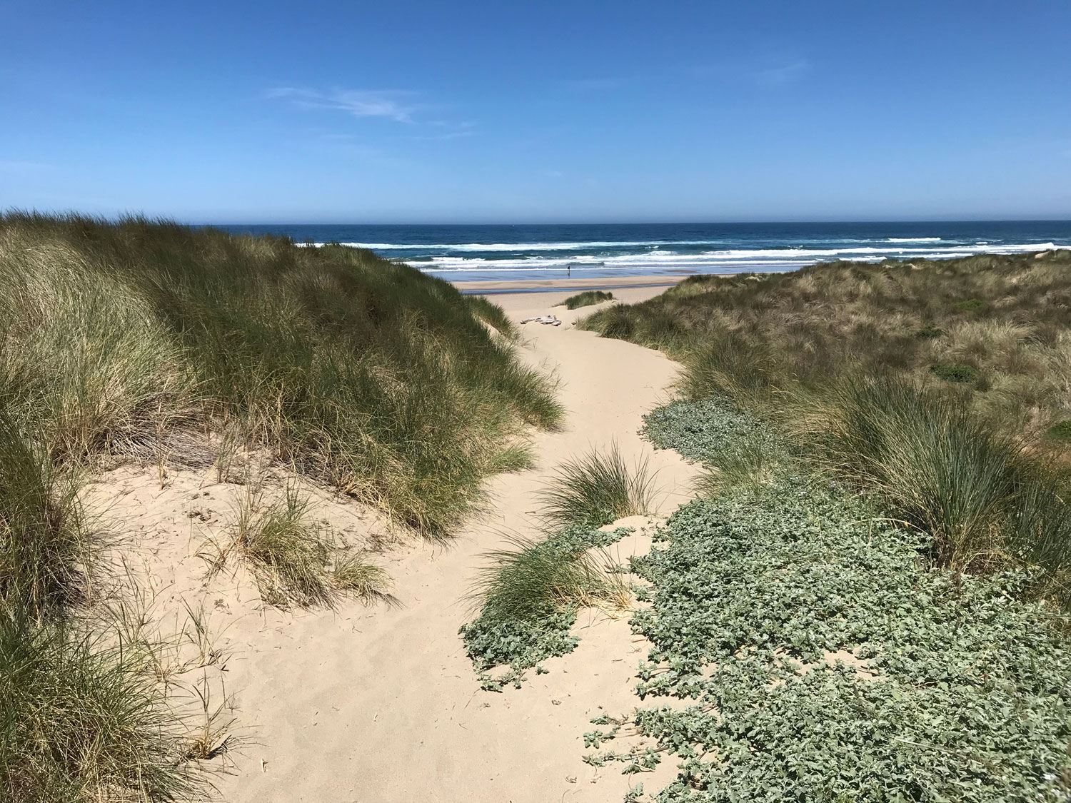
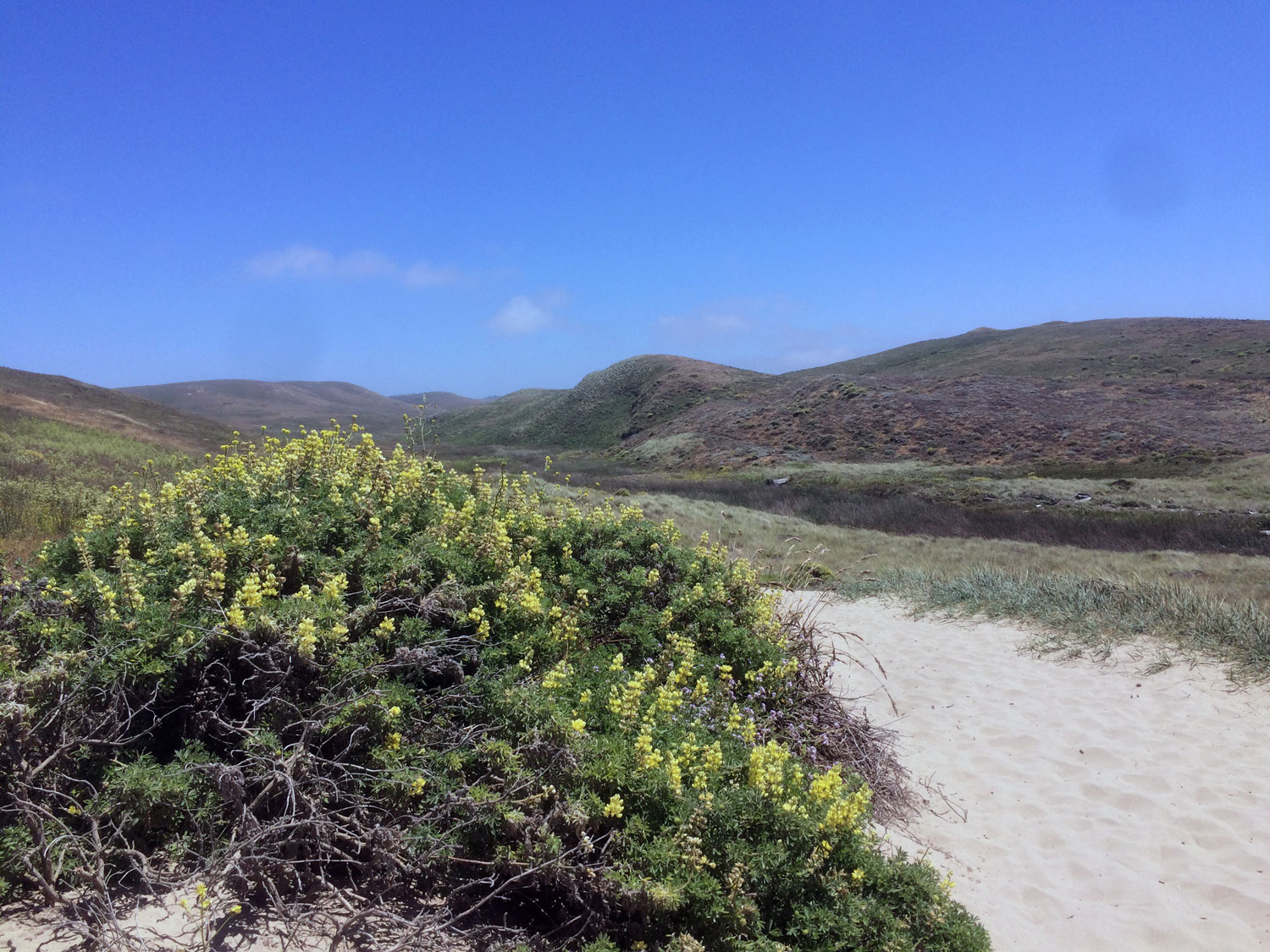
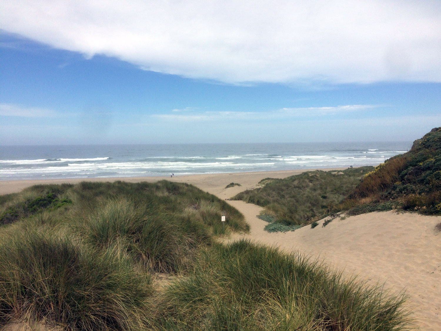
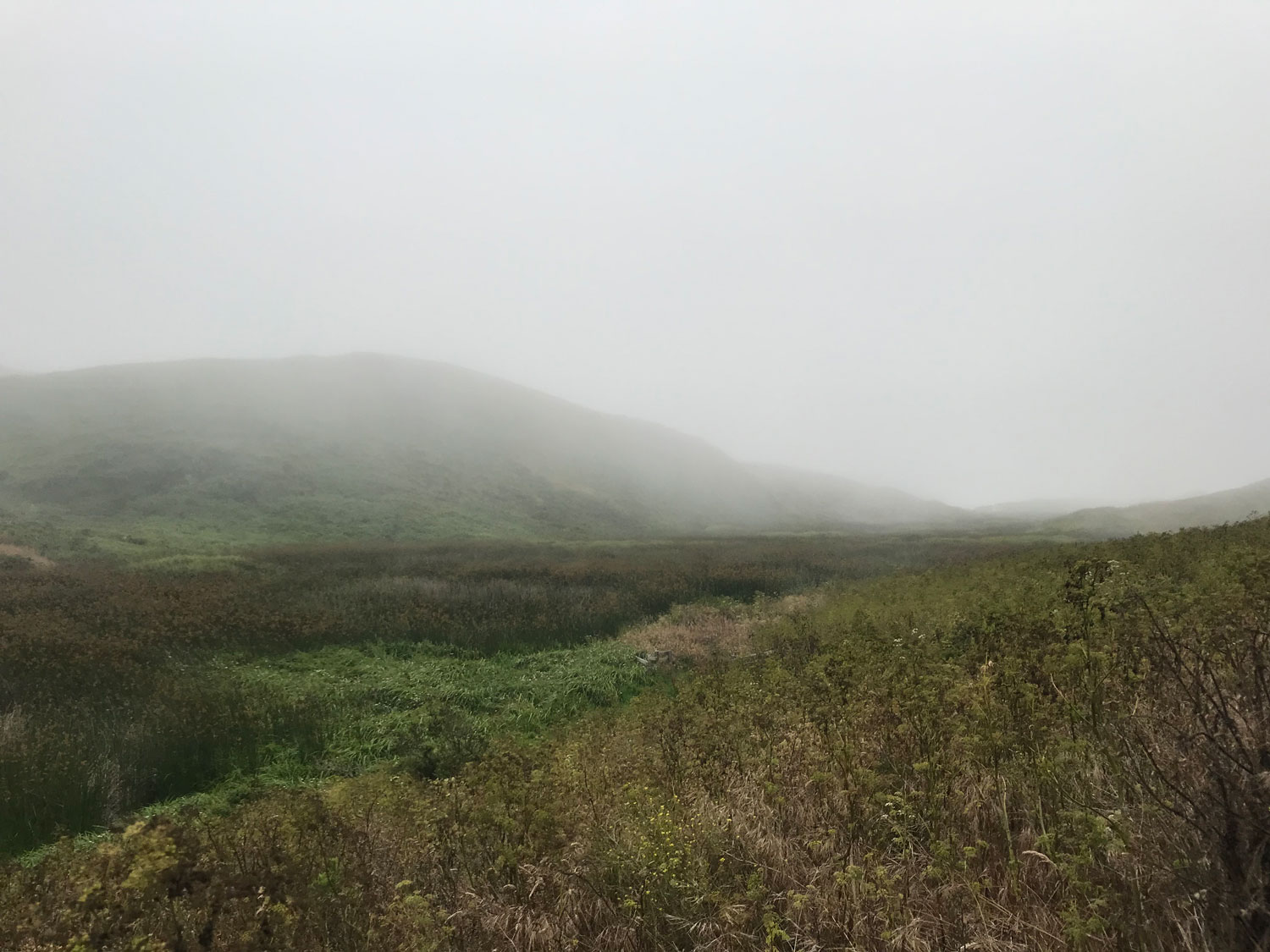
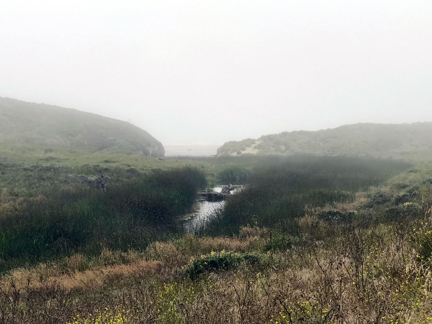
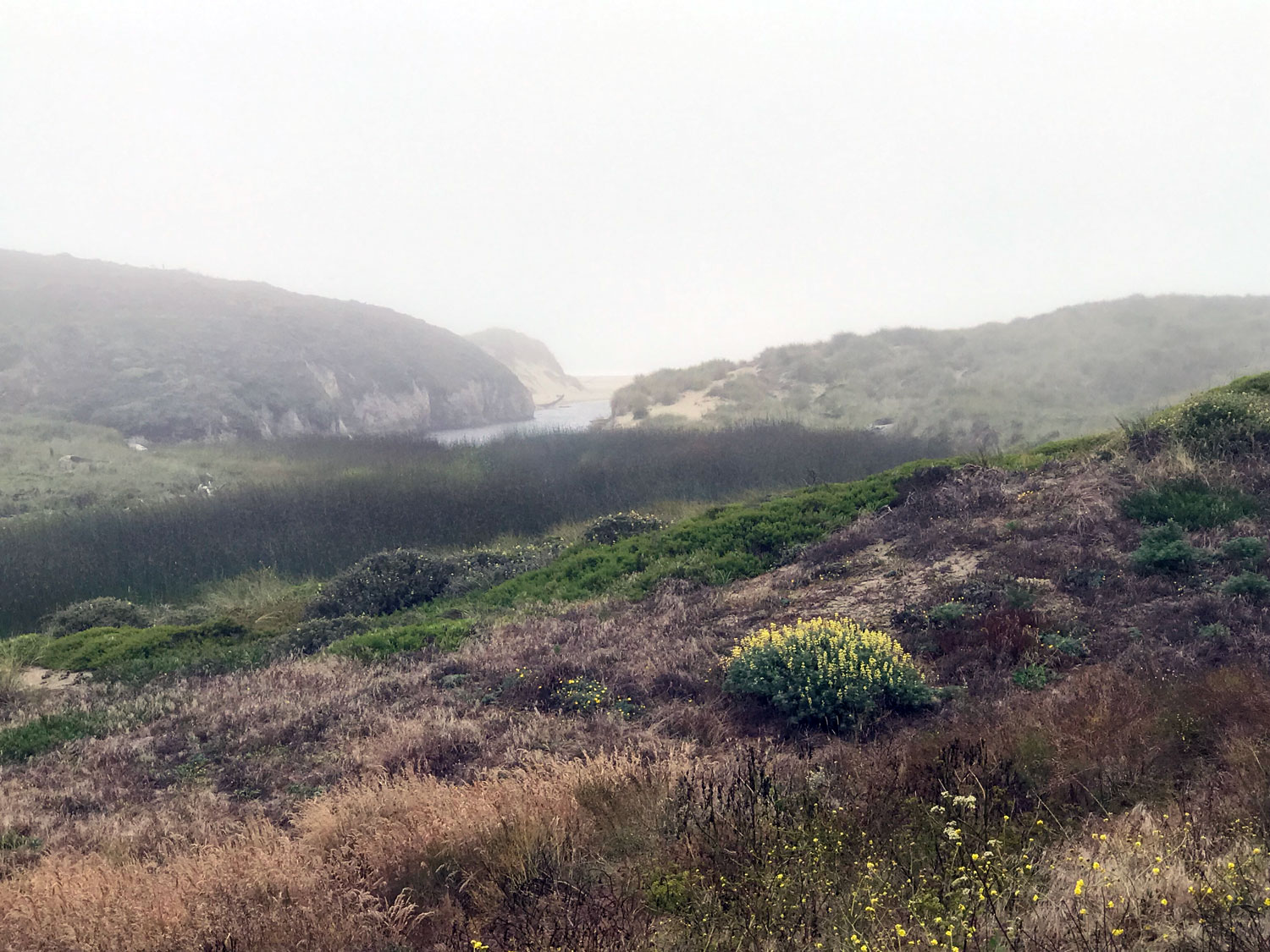
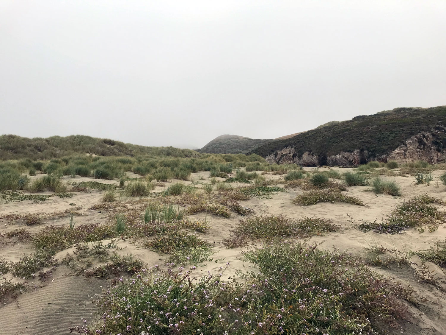
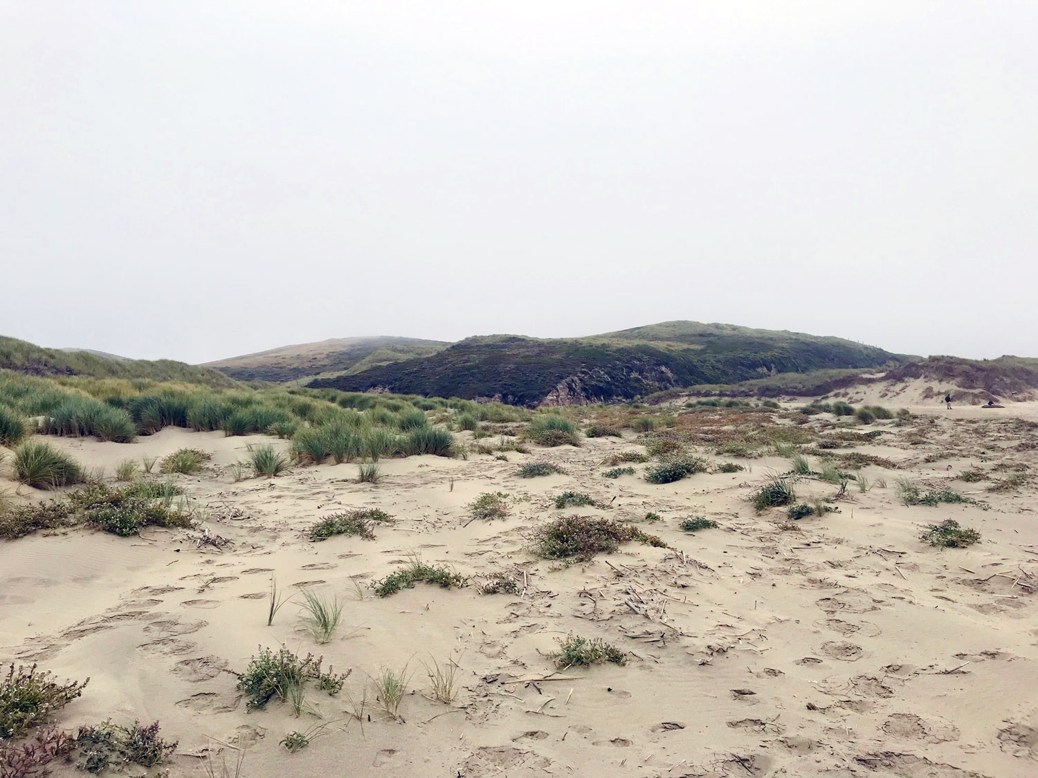
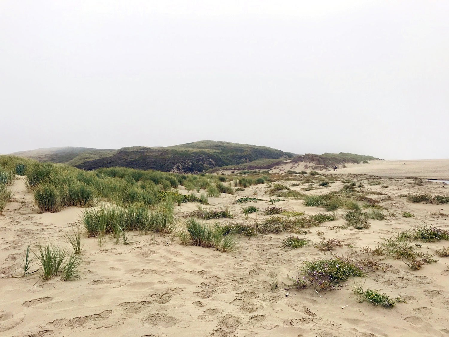
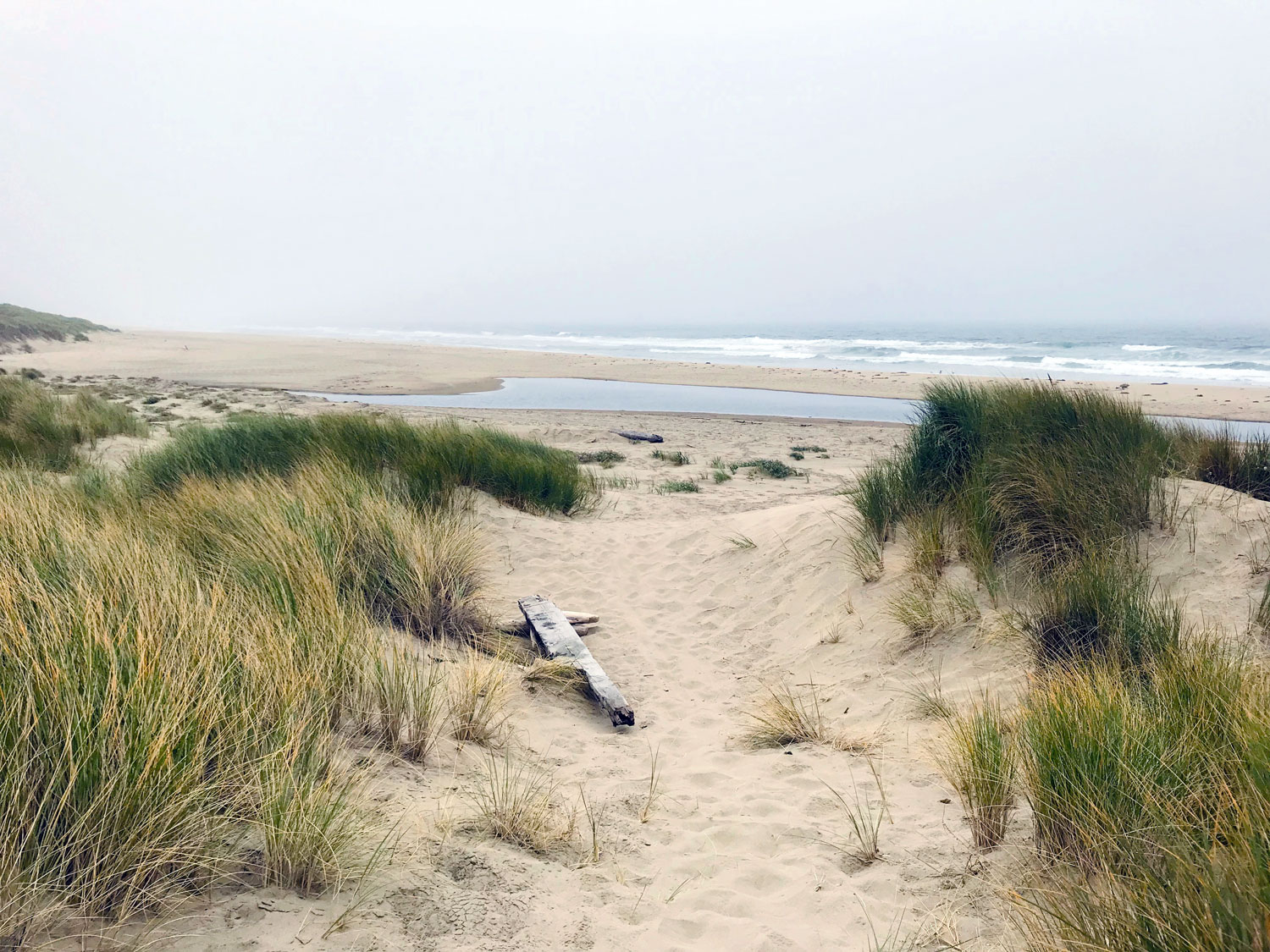
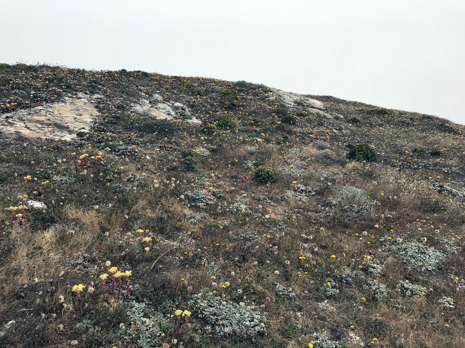
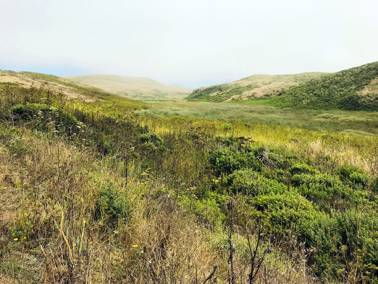
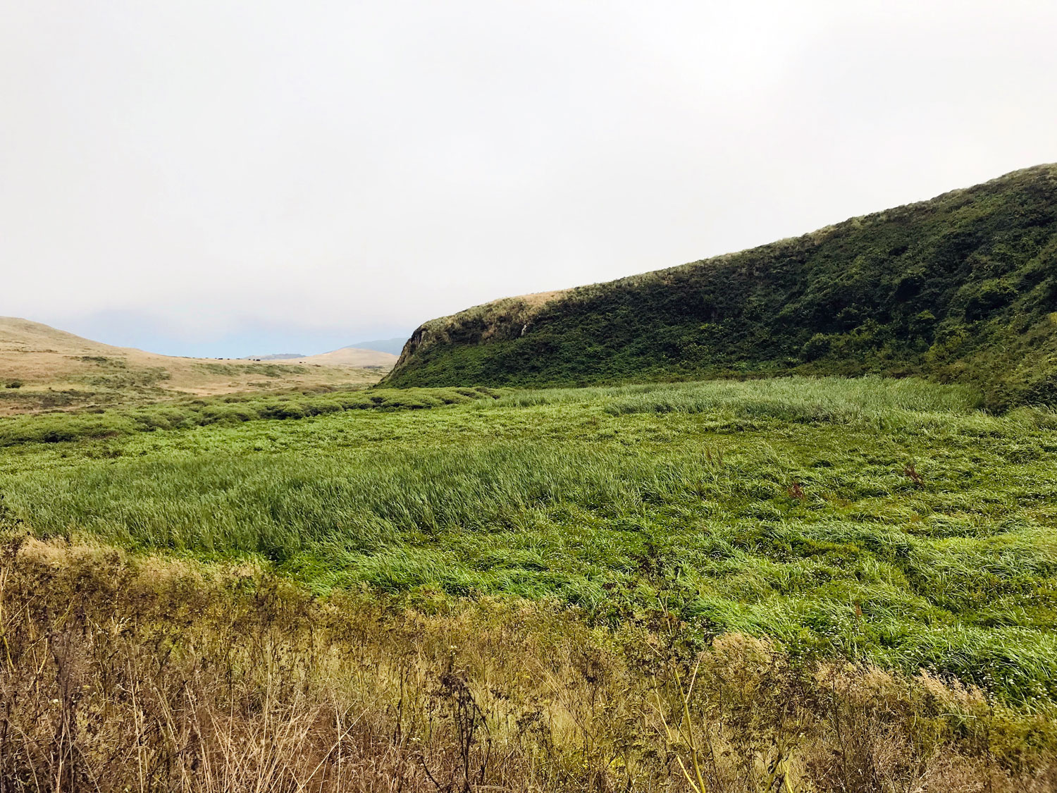
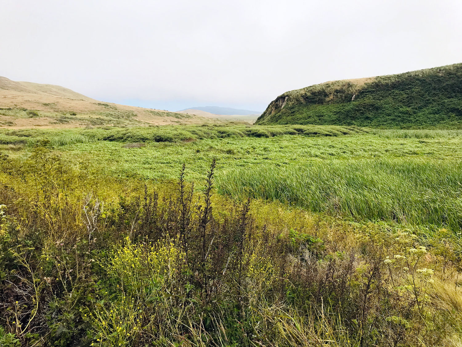
Terrain: coast chaparral, marsh, lagoon, beach, dunes
Restroom? Yes, at the trailhead
Parking: along the road
Kid friendly? Yes, it's a flat, easy hike
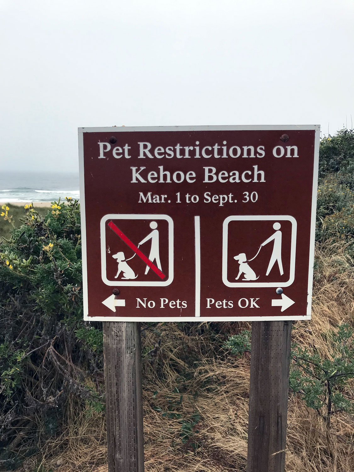
Dogs on leash allowed!
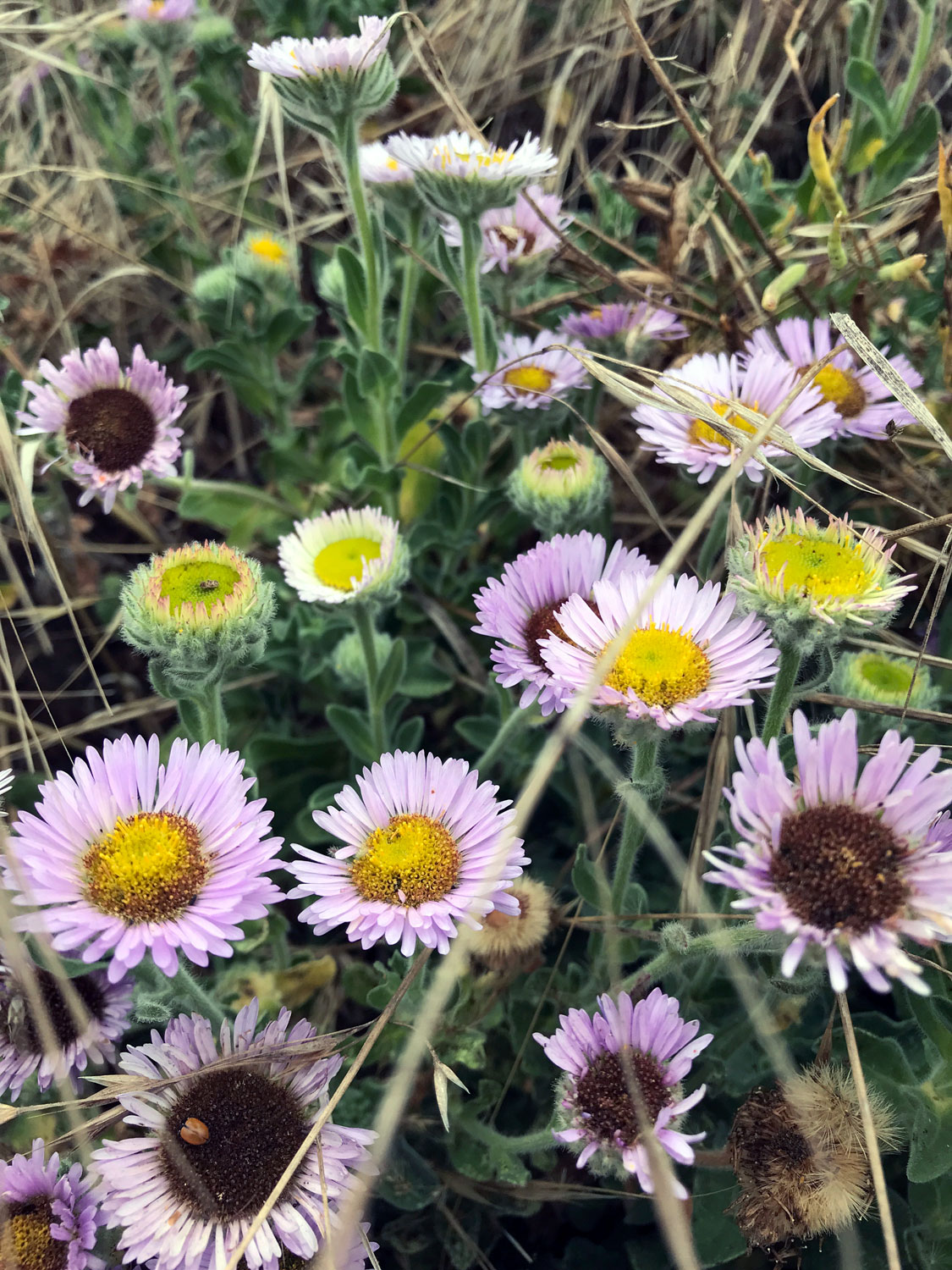
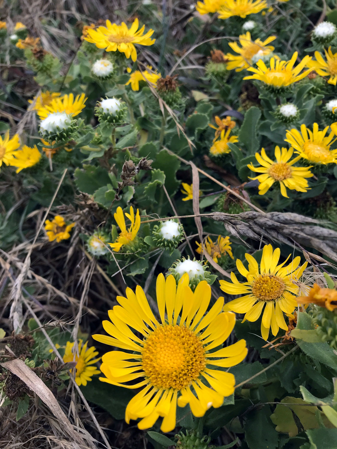
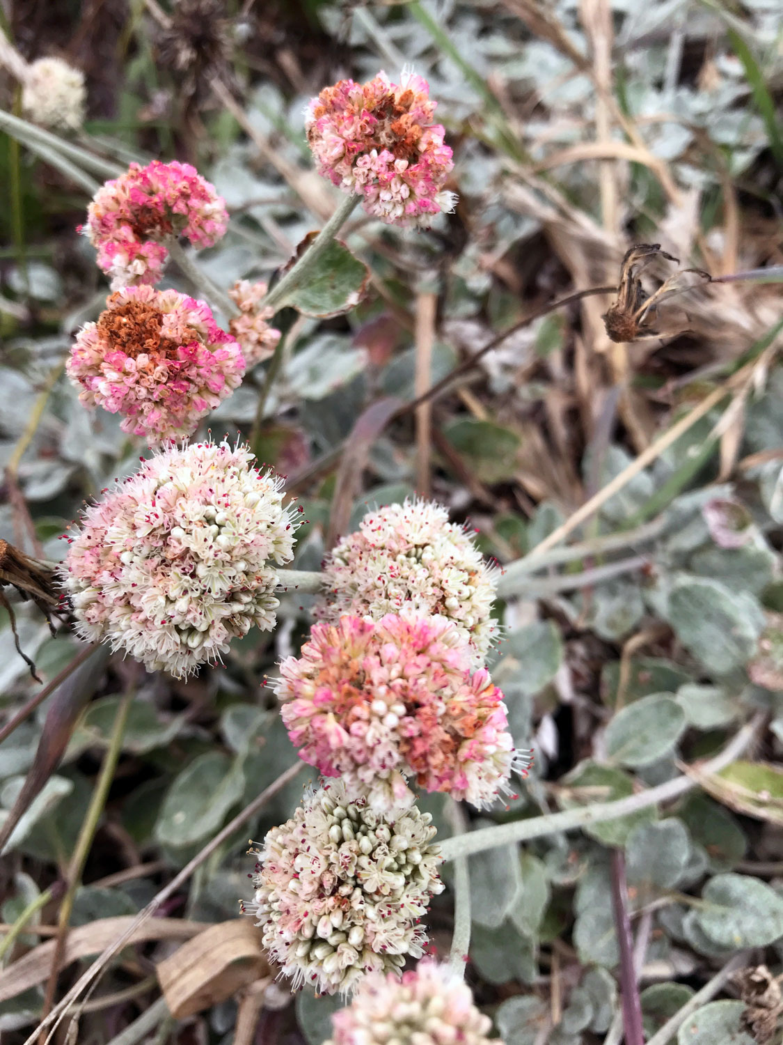
Marsh plant list and Trail and beach plant list by the Marin chapter of the California Native Plant Society
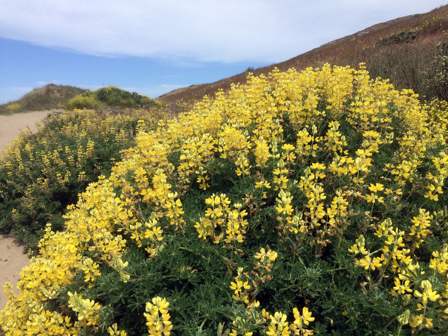
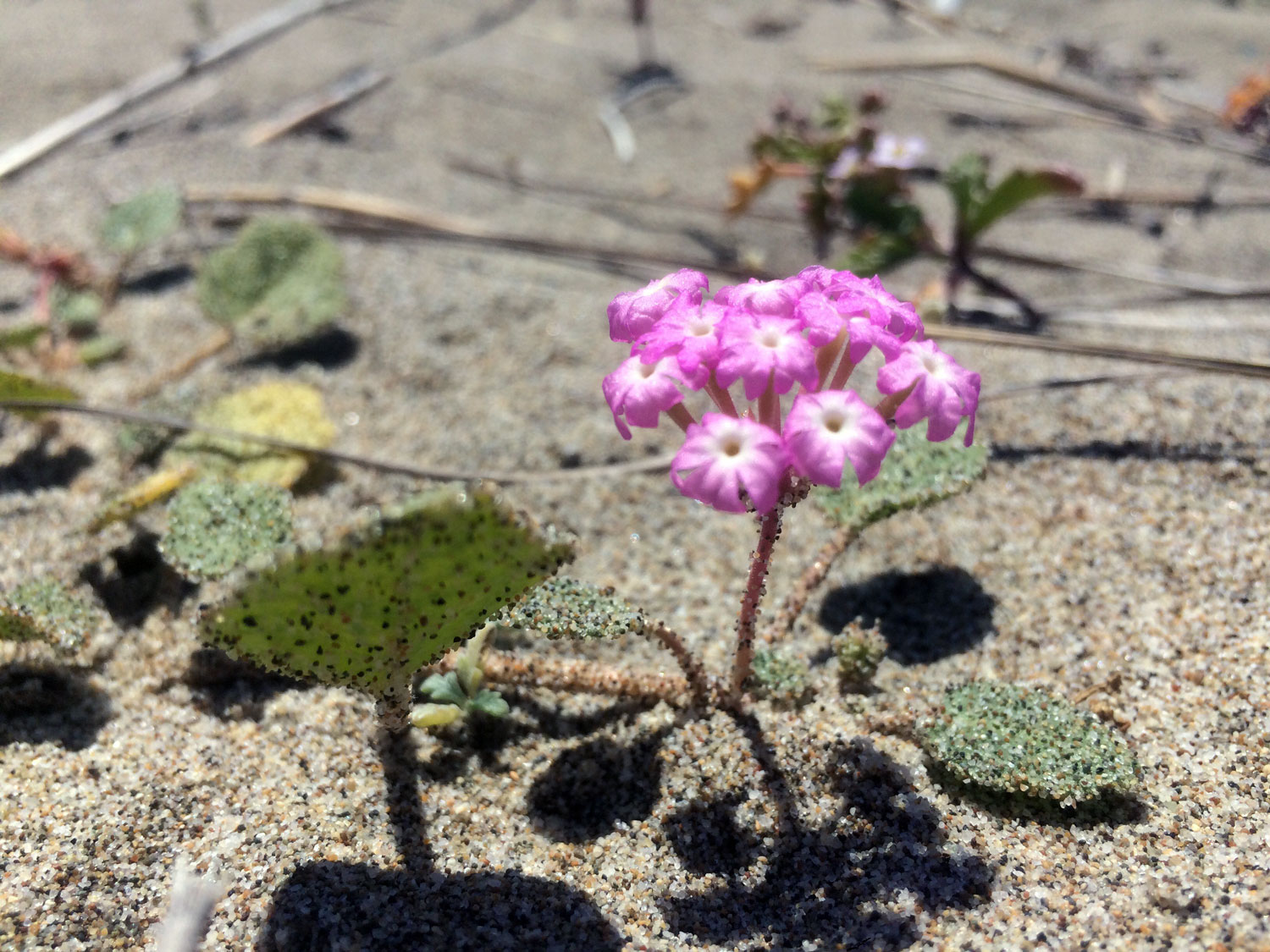
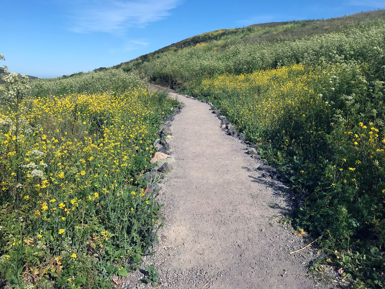
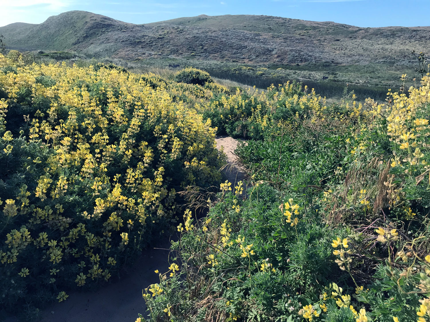
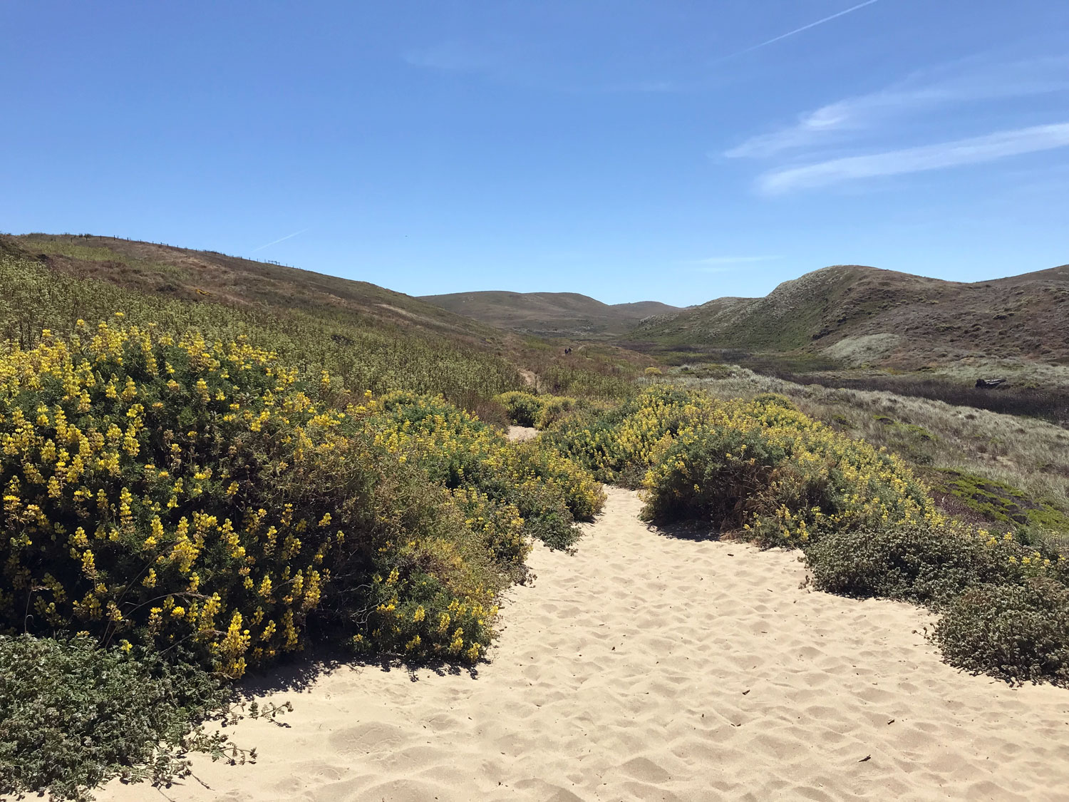
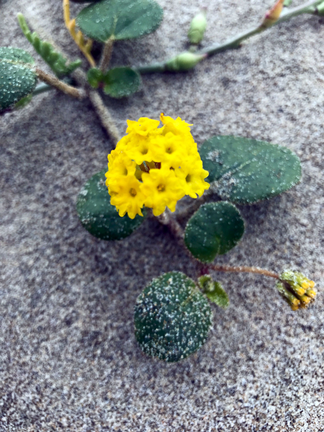
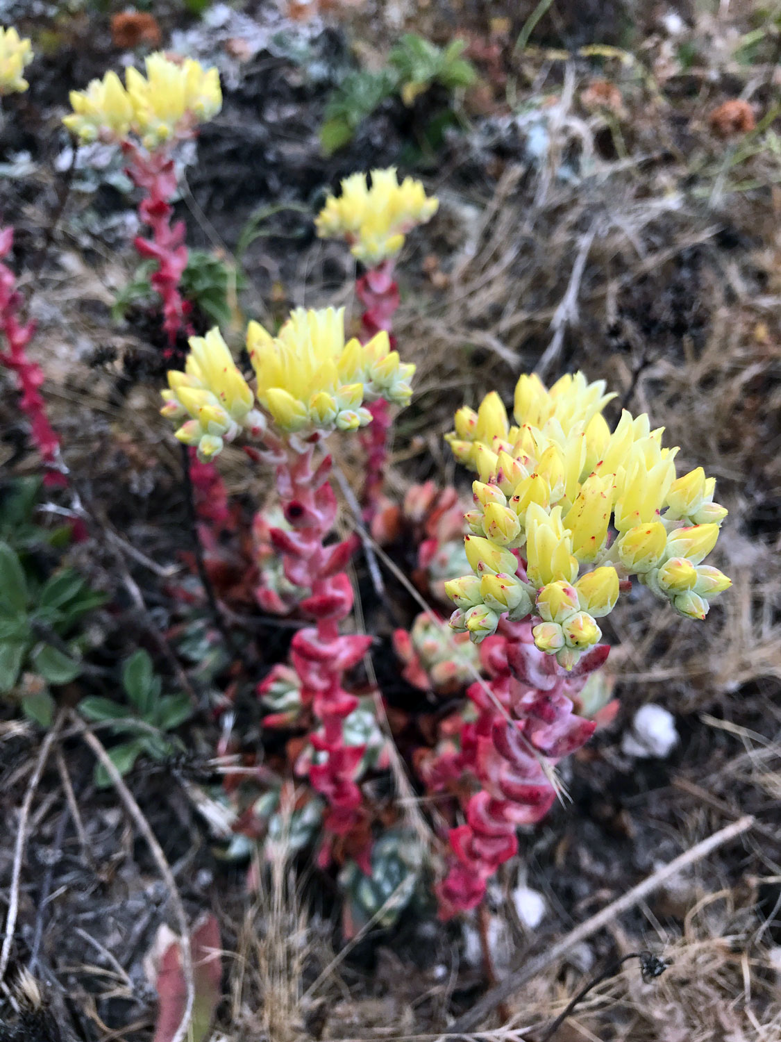
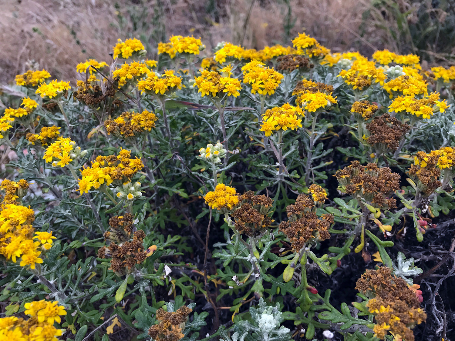
Favorite plants on this trail: Yellow Bush Lupine (Lupinus arboreus)
Favorite spots:
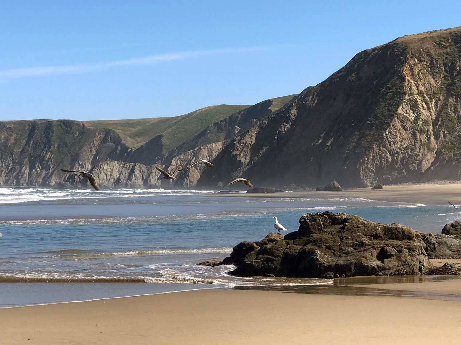
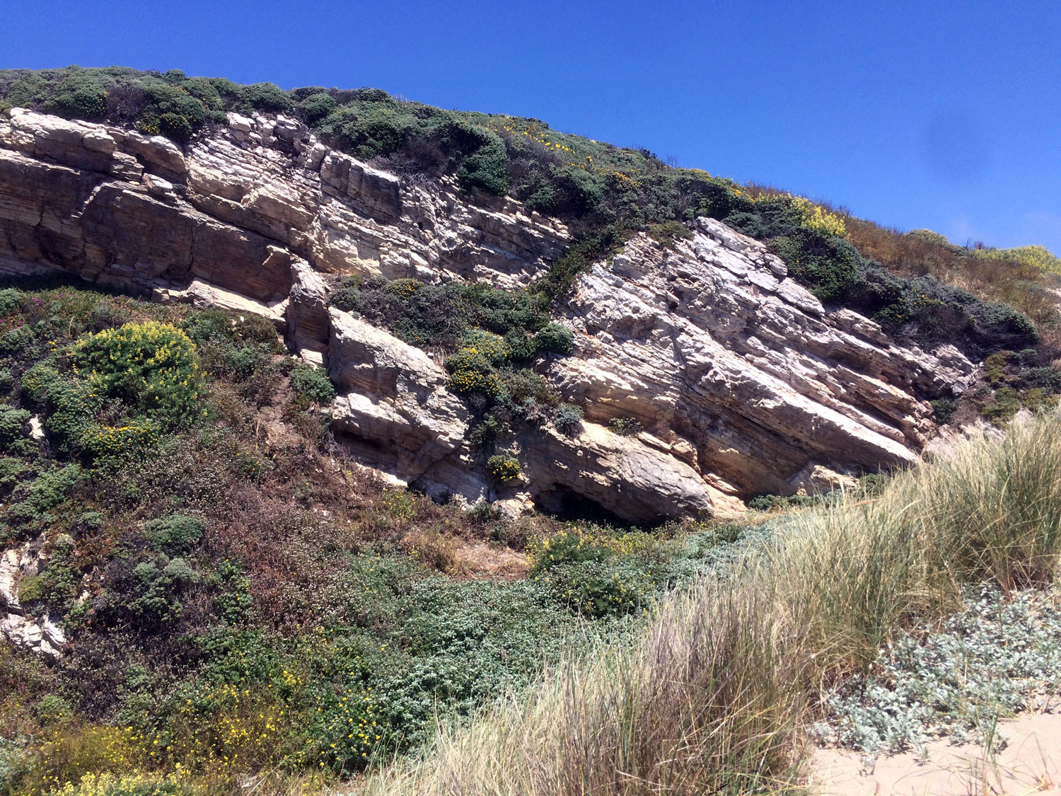
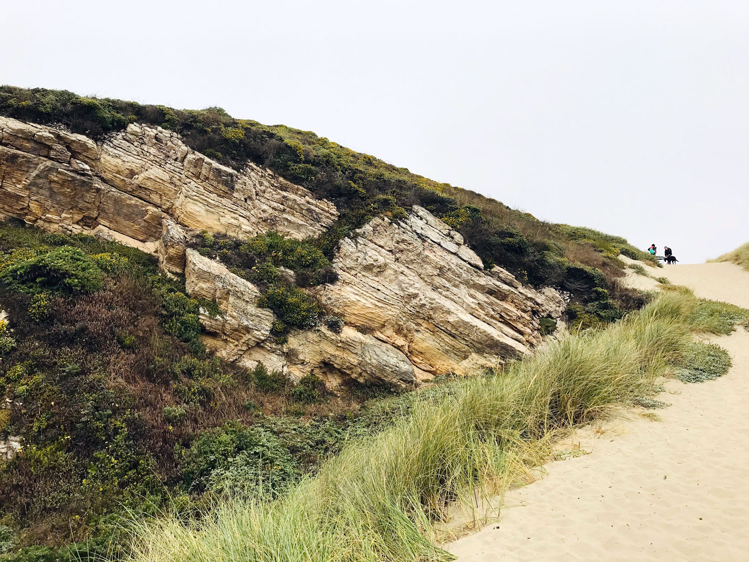
Watching peregrine falcons in the sandstone cliffs.
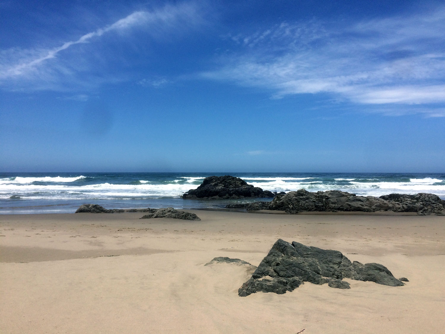
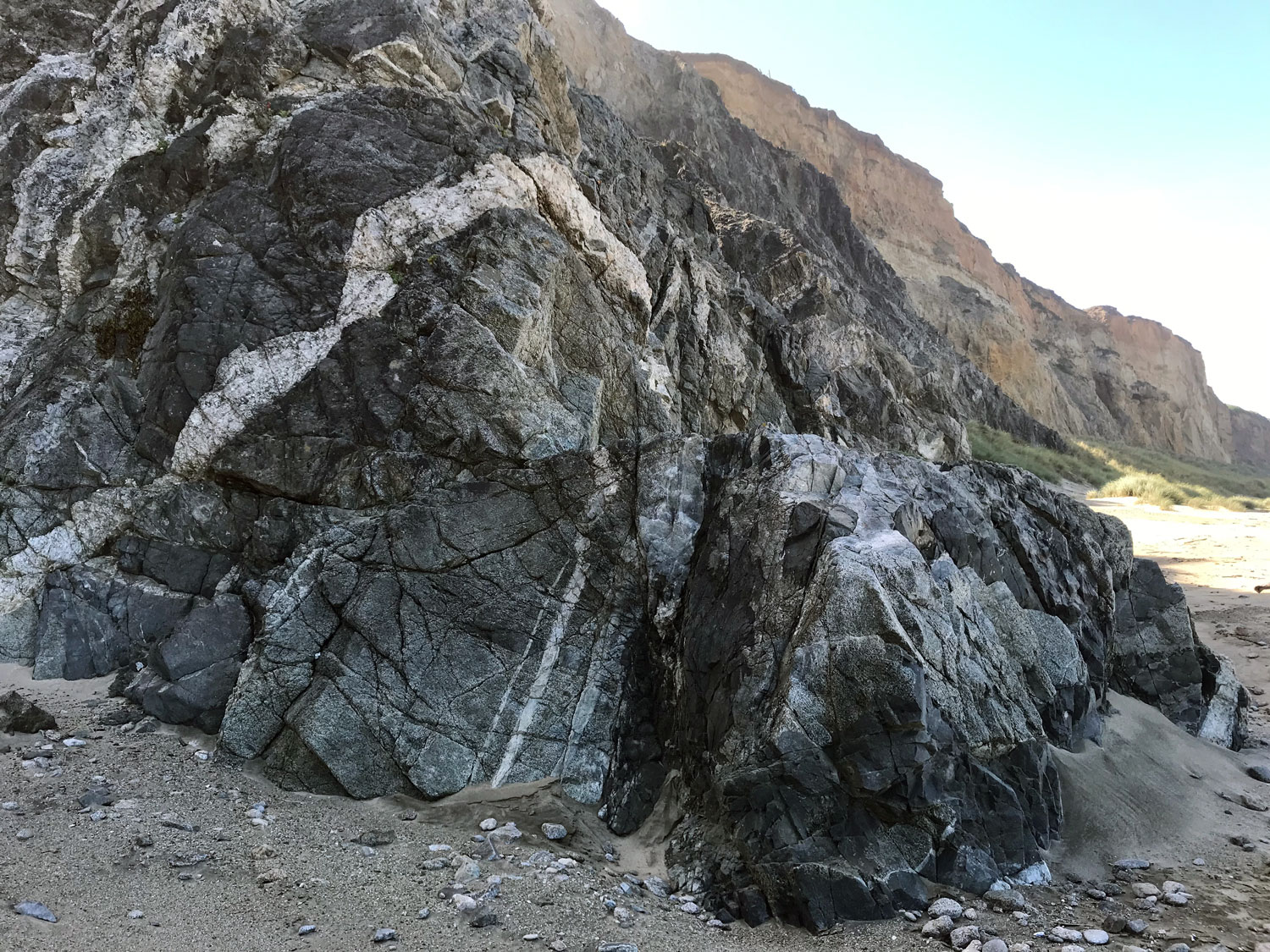
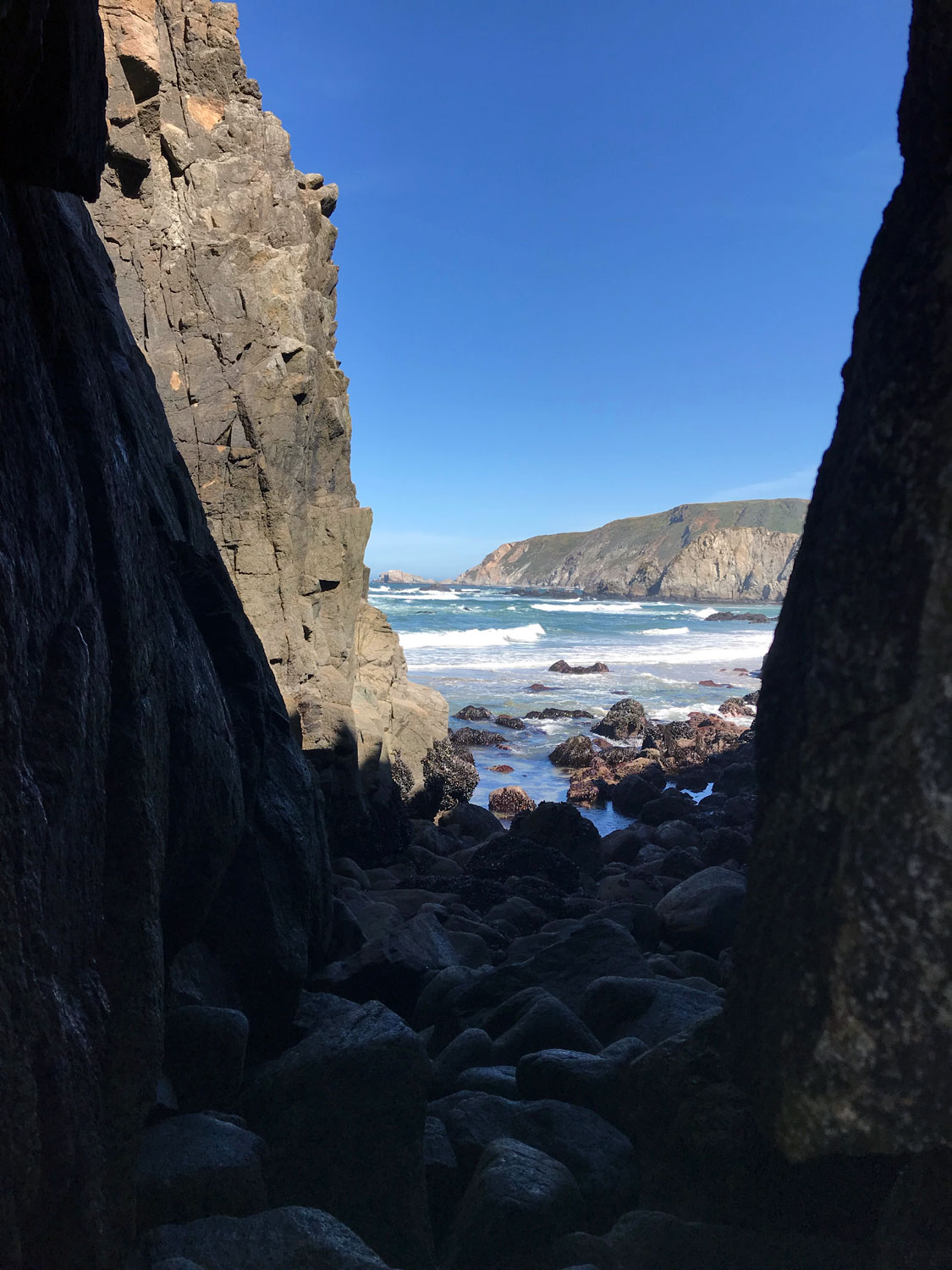
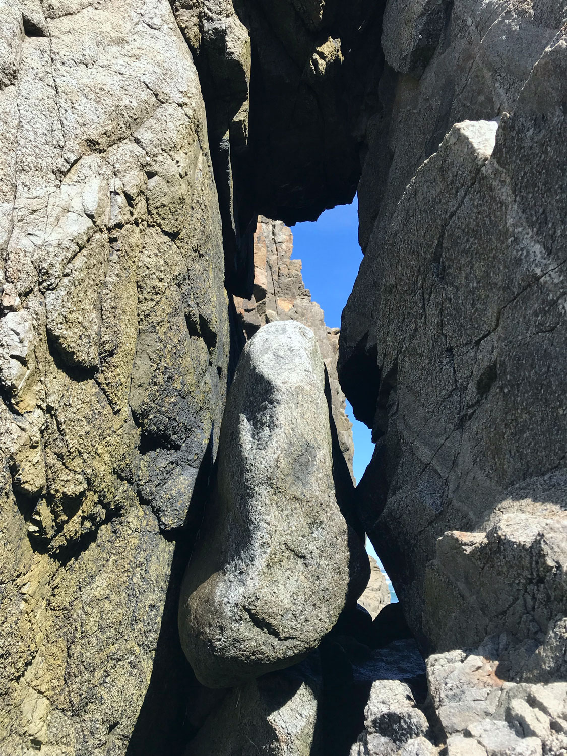
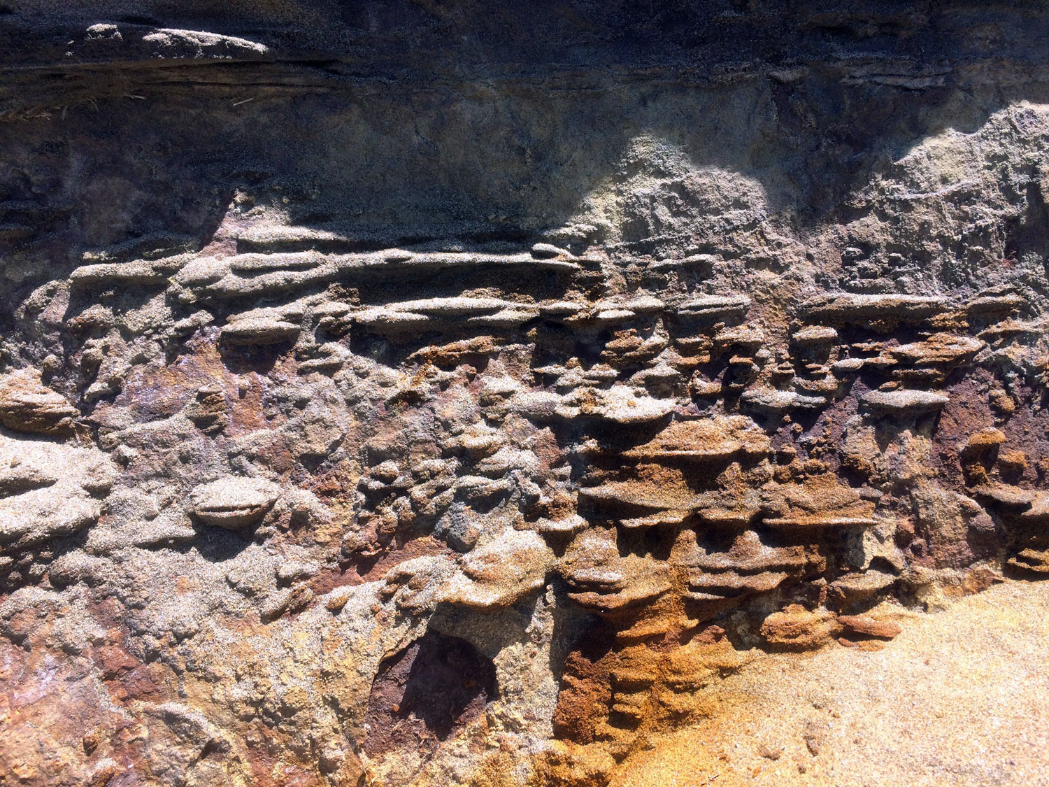
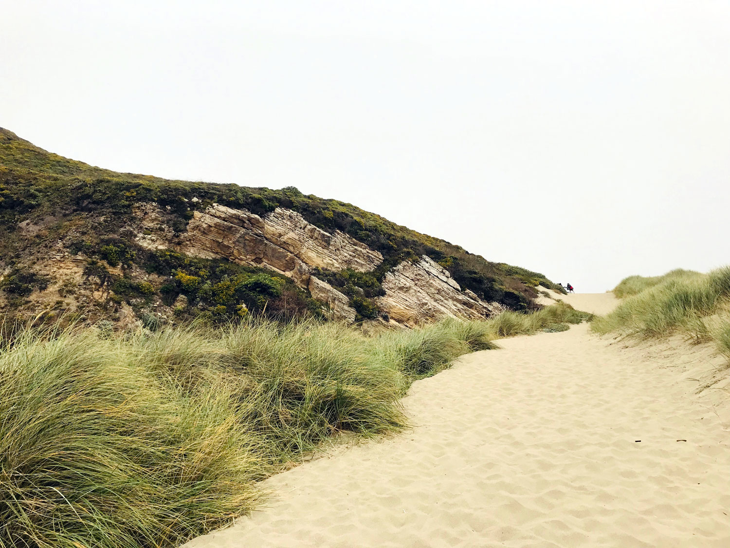
Exploring the zigzag patterned rocks.
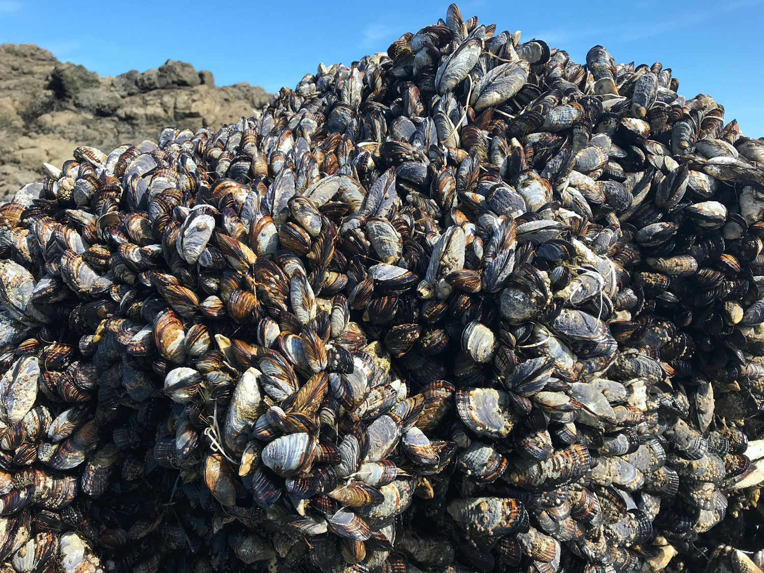
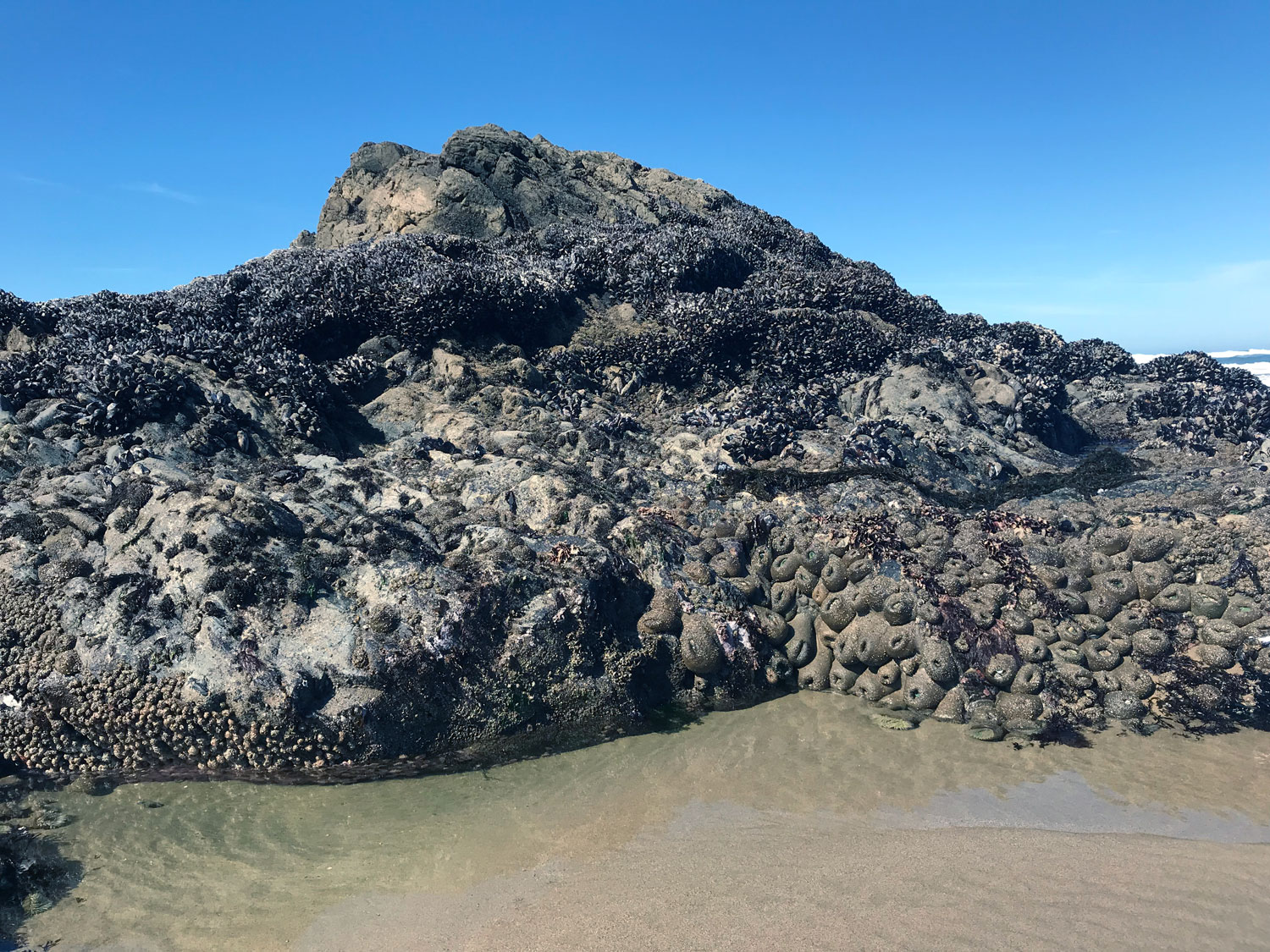
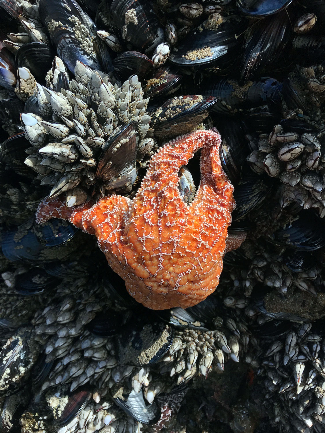
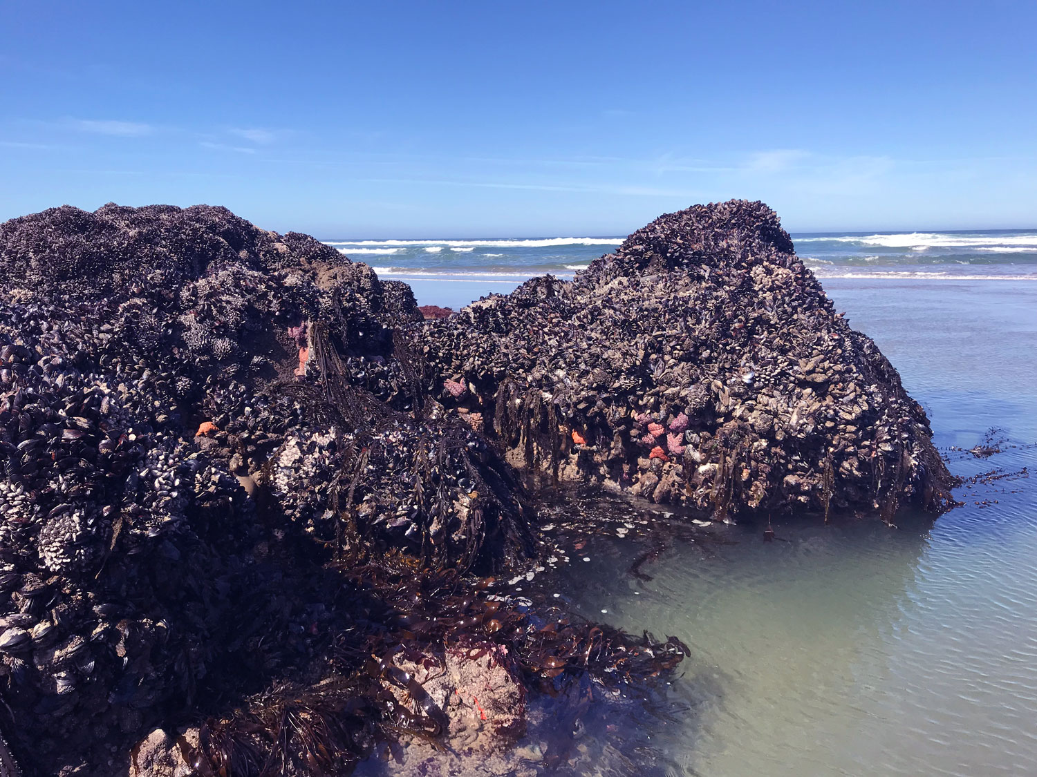
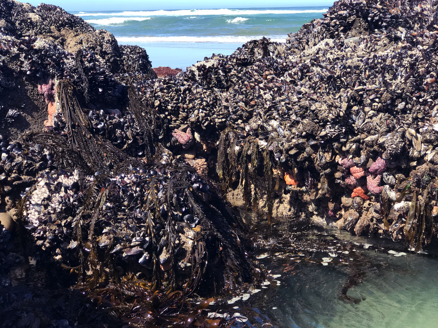
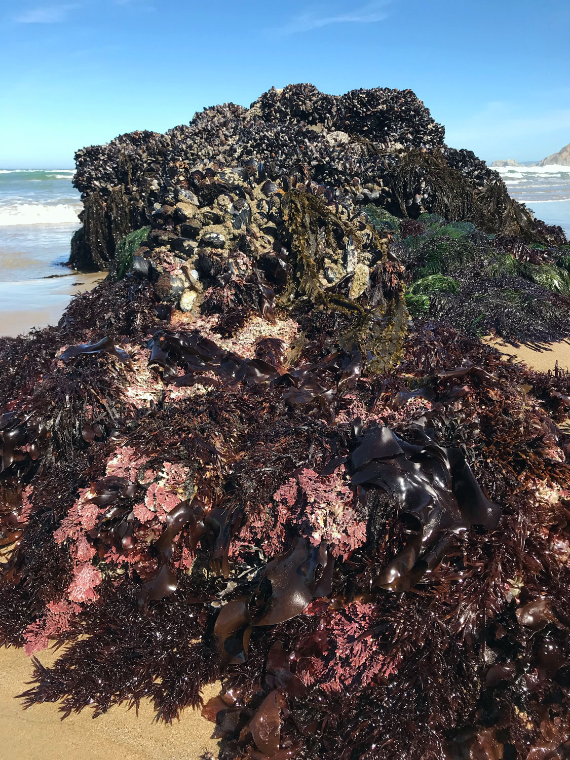
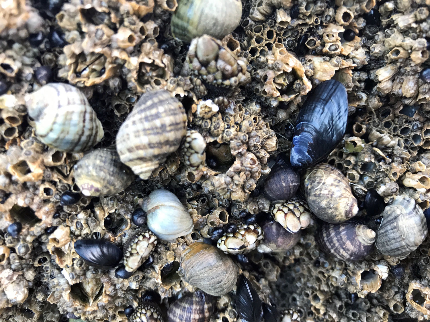
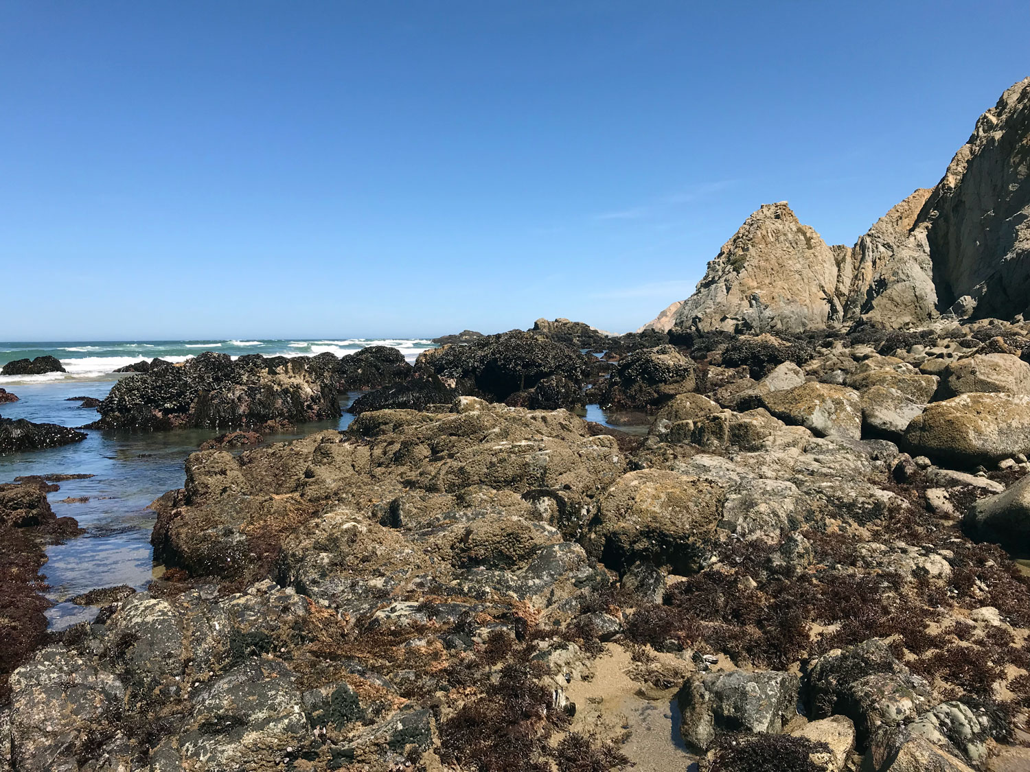
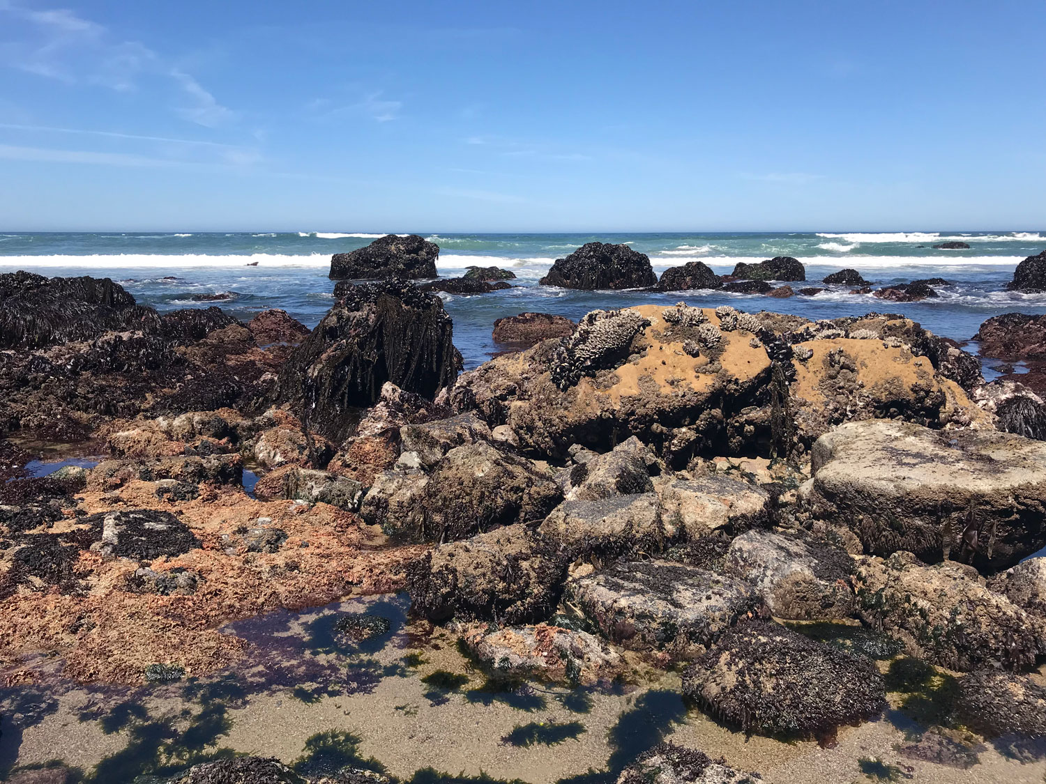
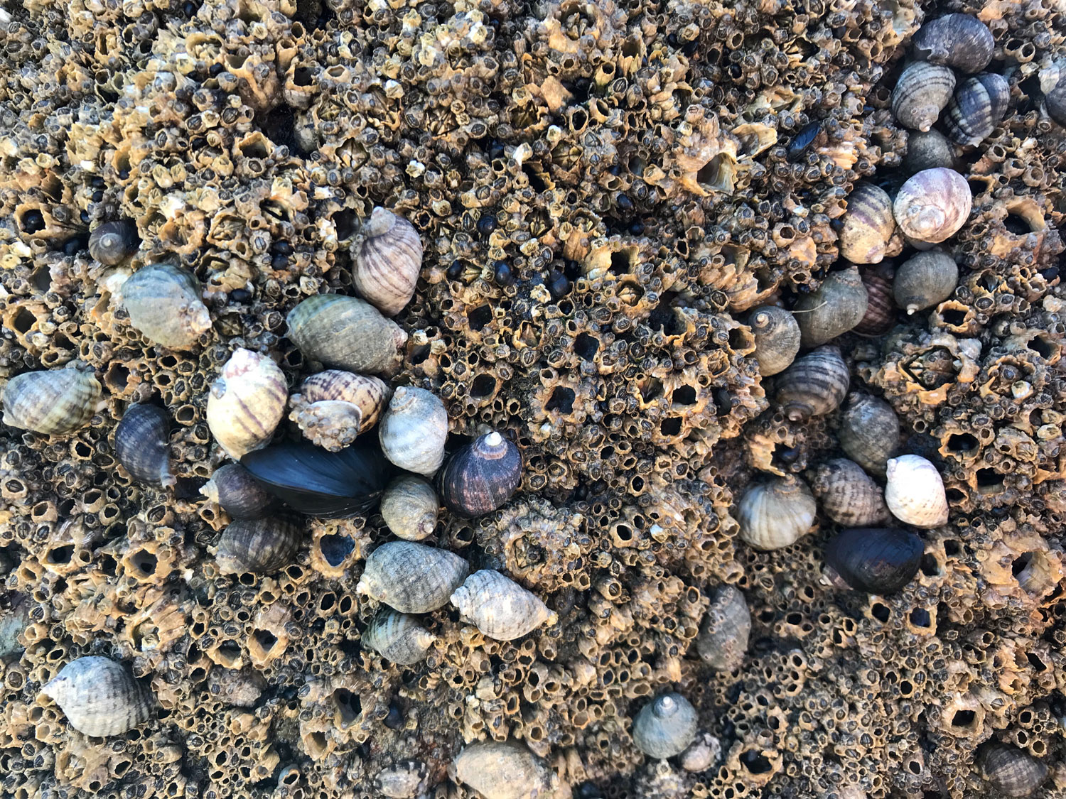
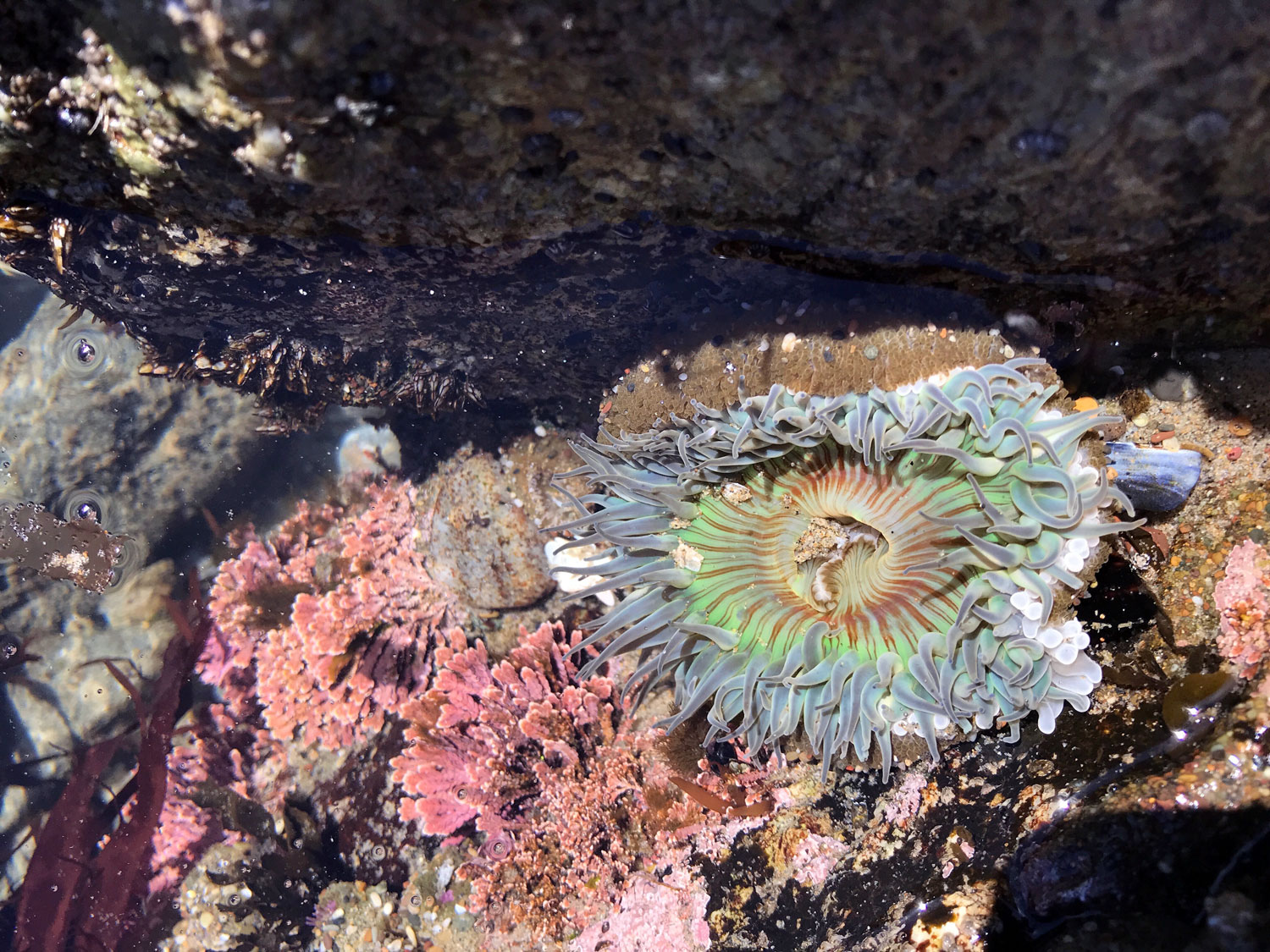
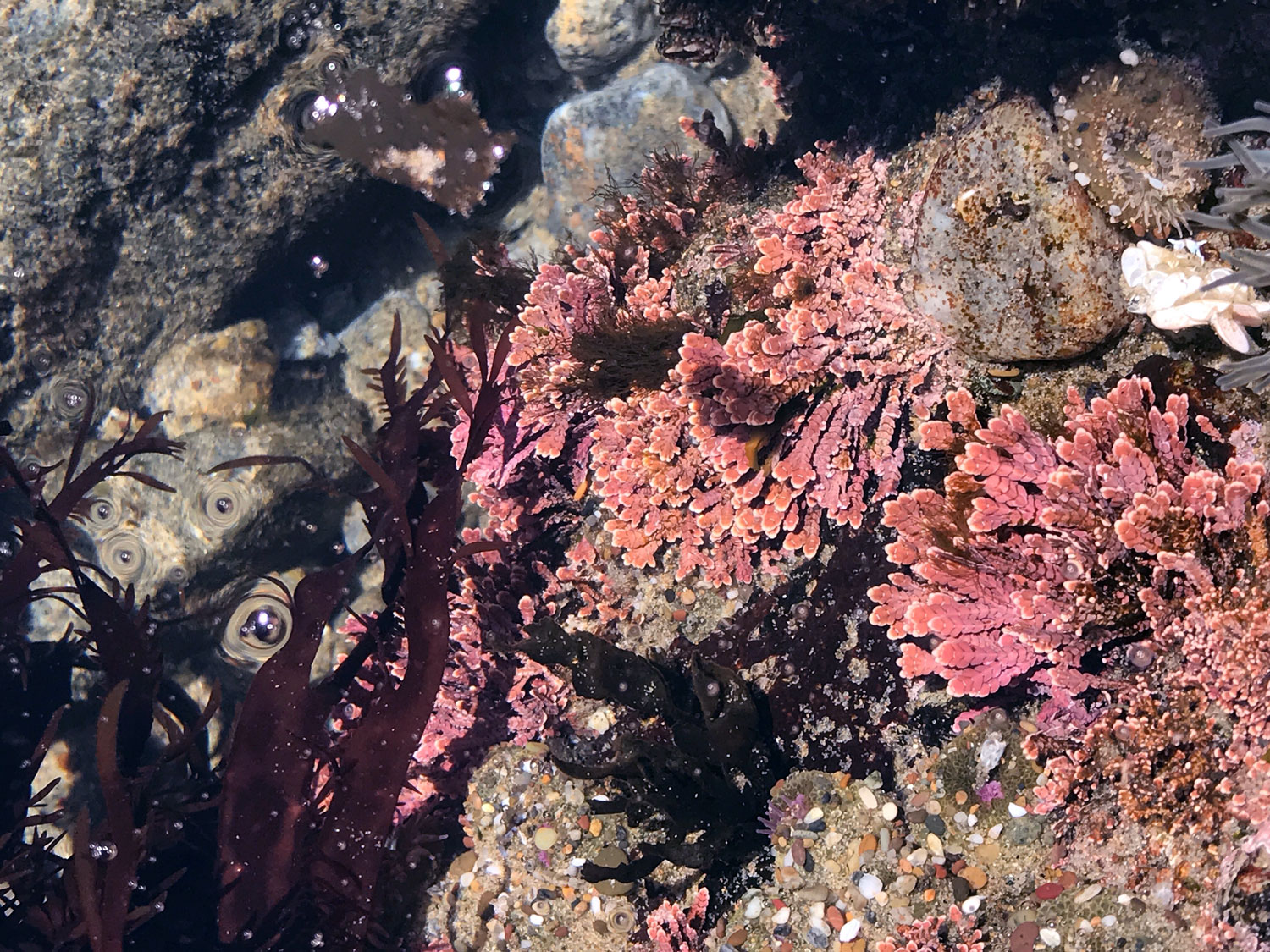
Climbing through the rocky tide pools.
Check tides for Kehoe Beach on Tideschart
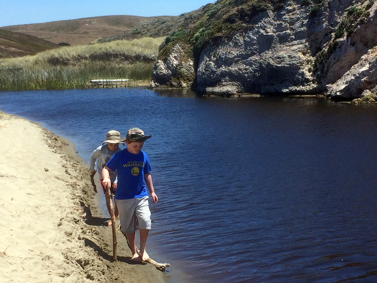
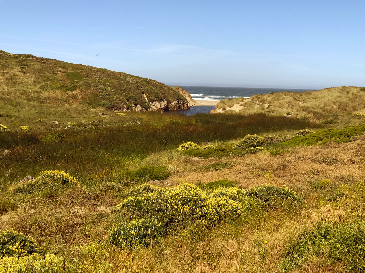
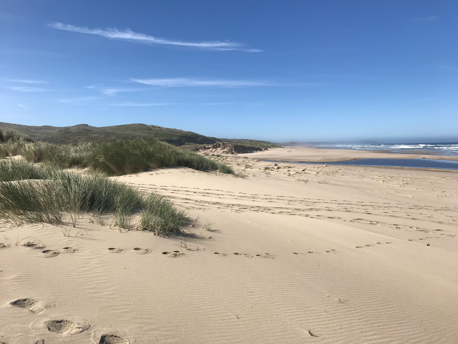
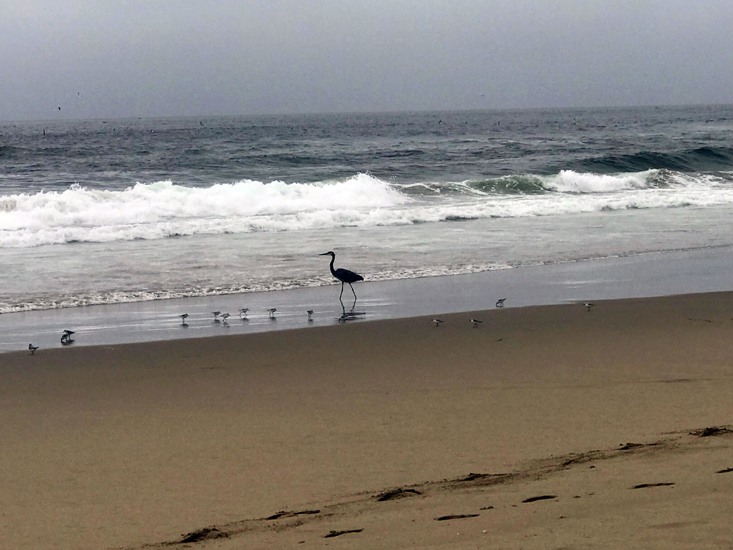
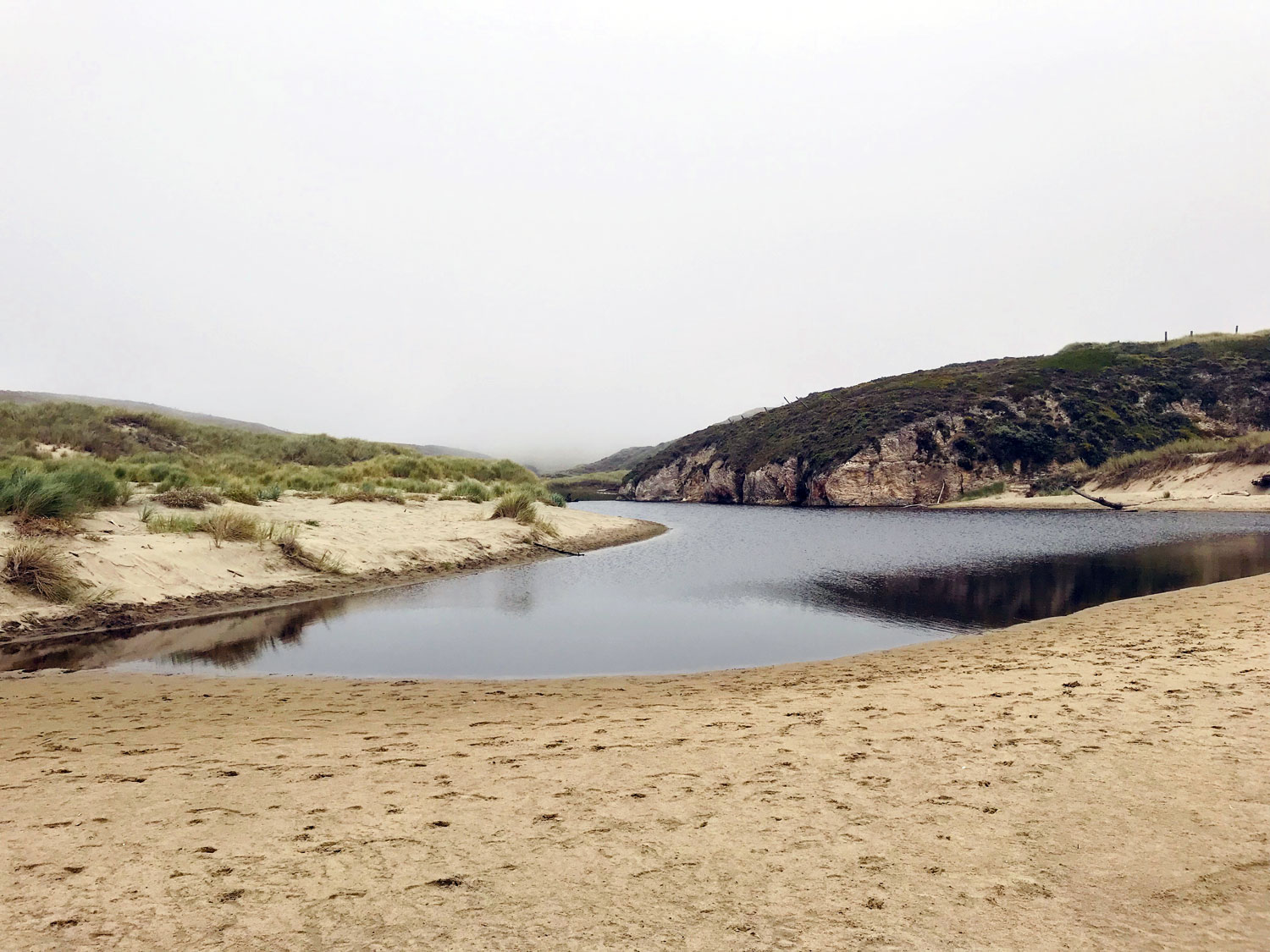
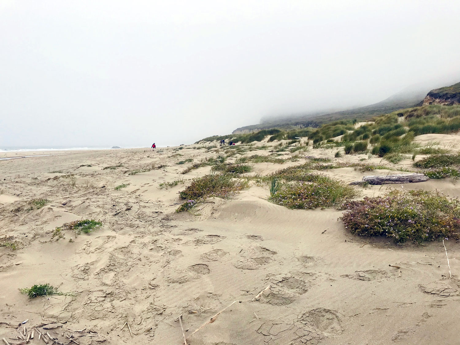
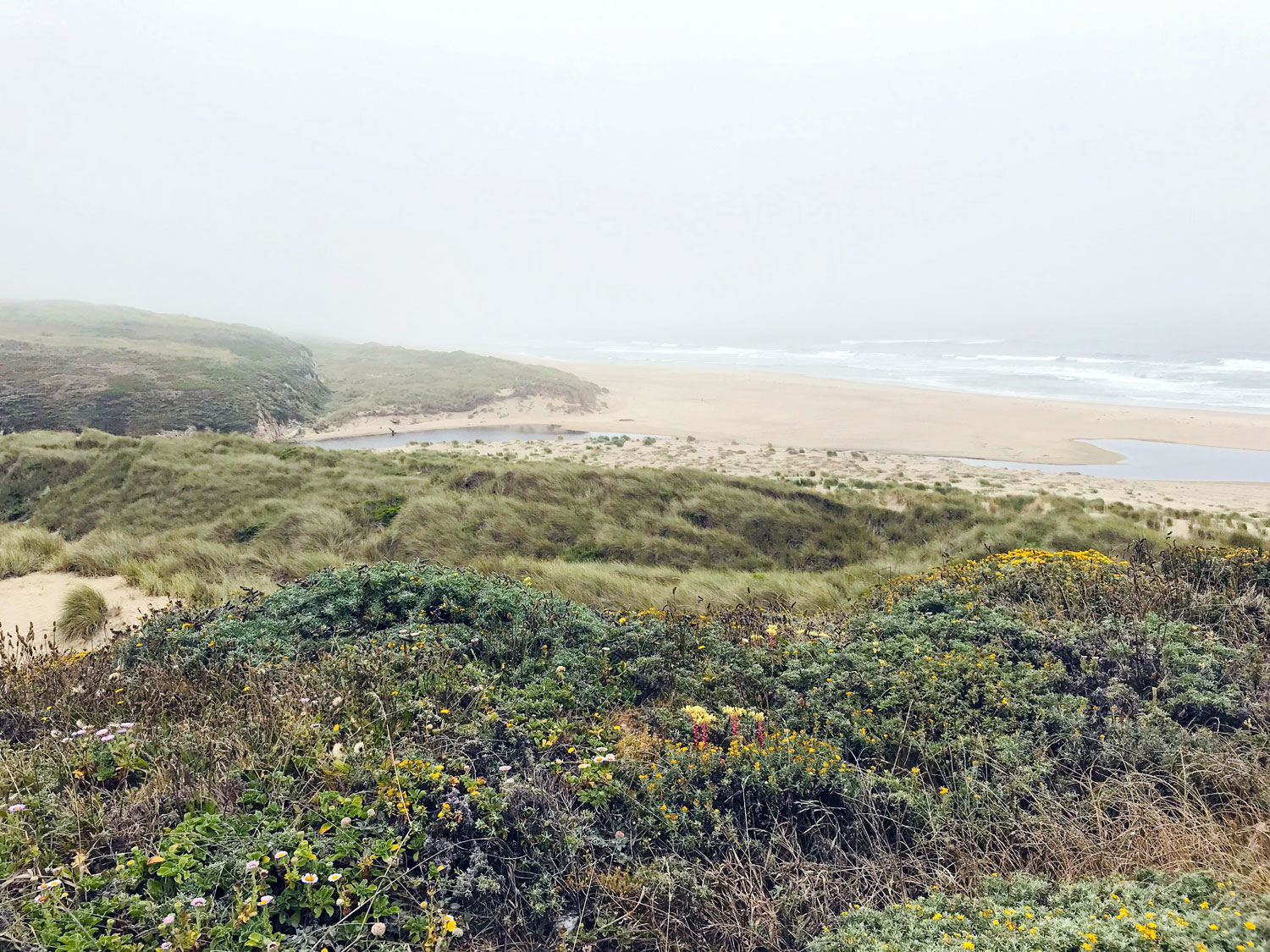
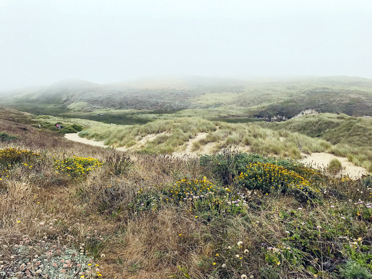
This is a popular spot for local dog owners — one of the few places in the National Seashore that allows dogs (on leash). It’s an easy flat hike of less than a mile to the beach. To the left of the trail is a freshwater creek that produces a large marshy area, home to birds, reptiles, insects and many other critters. To the right of the trail about a quarter or half mile along the beach are tide pools. When the tide is very low, you can climb over the rocks connecting Kehoe Beach to McClures Beach.
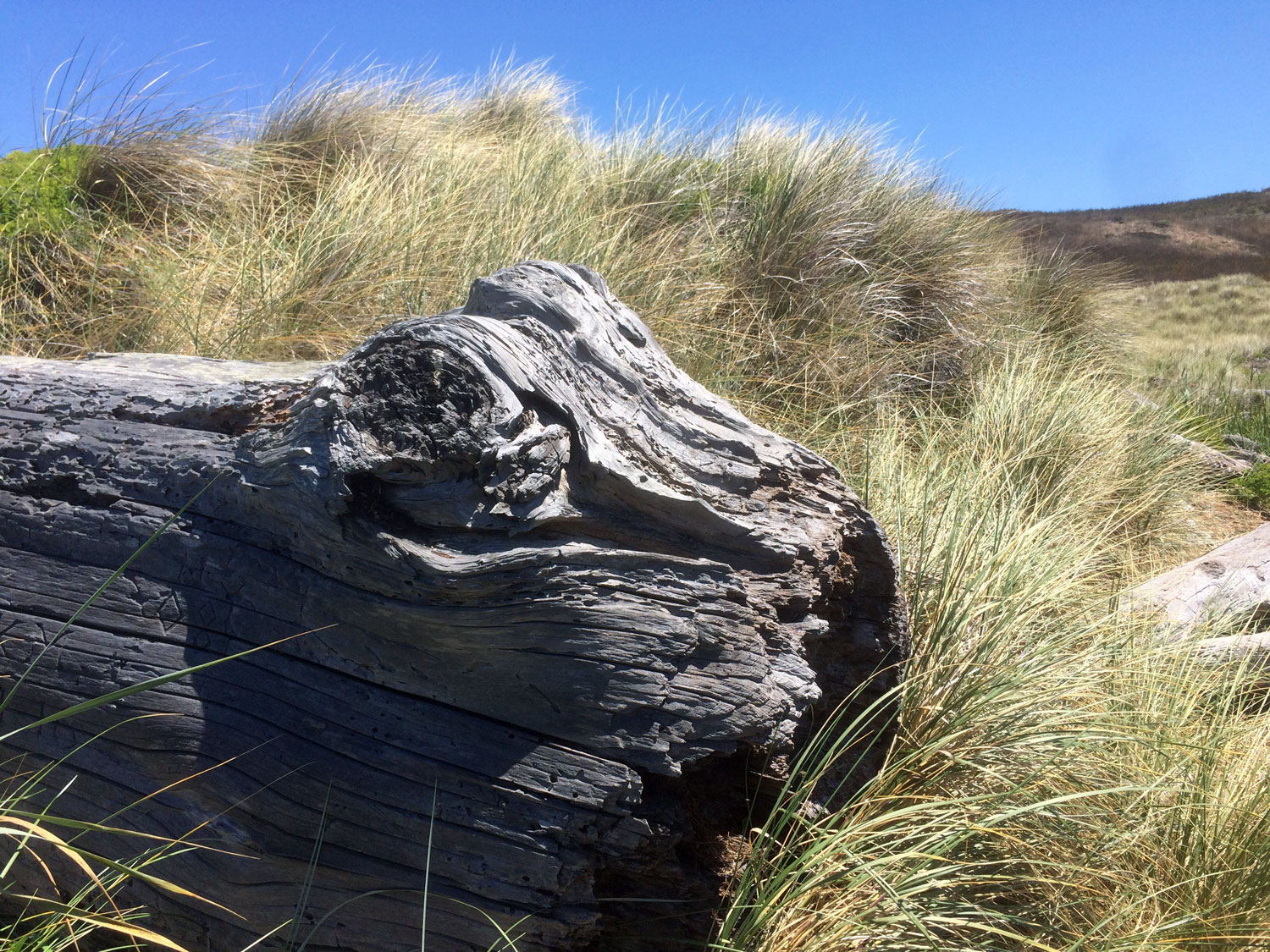
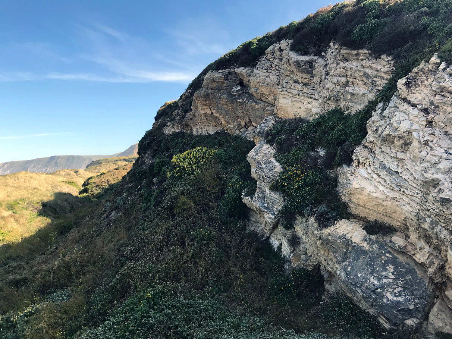
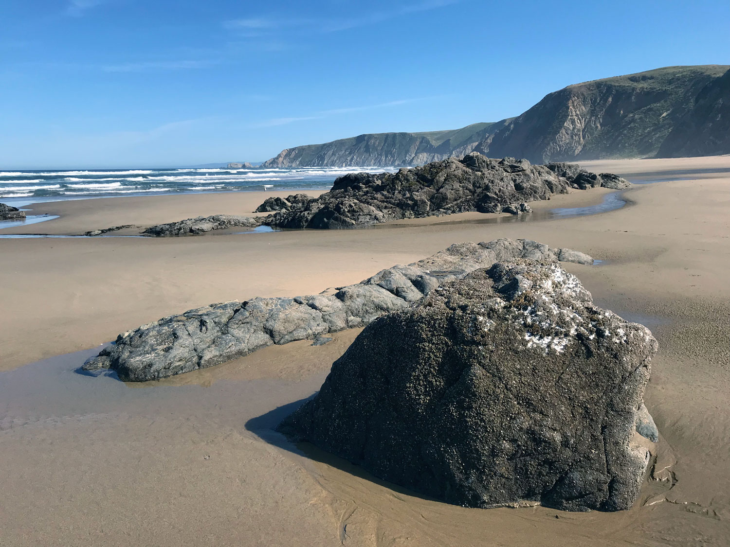
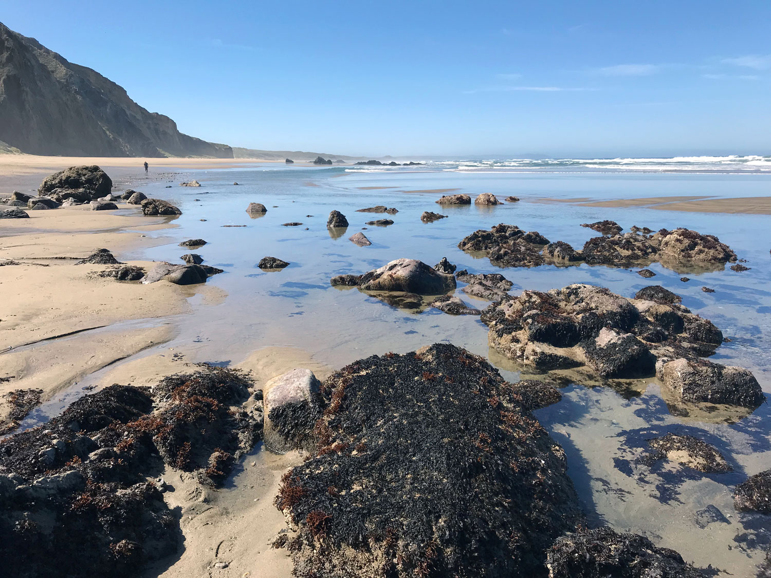
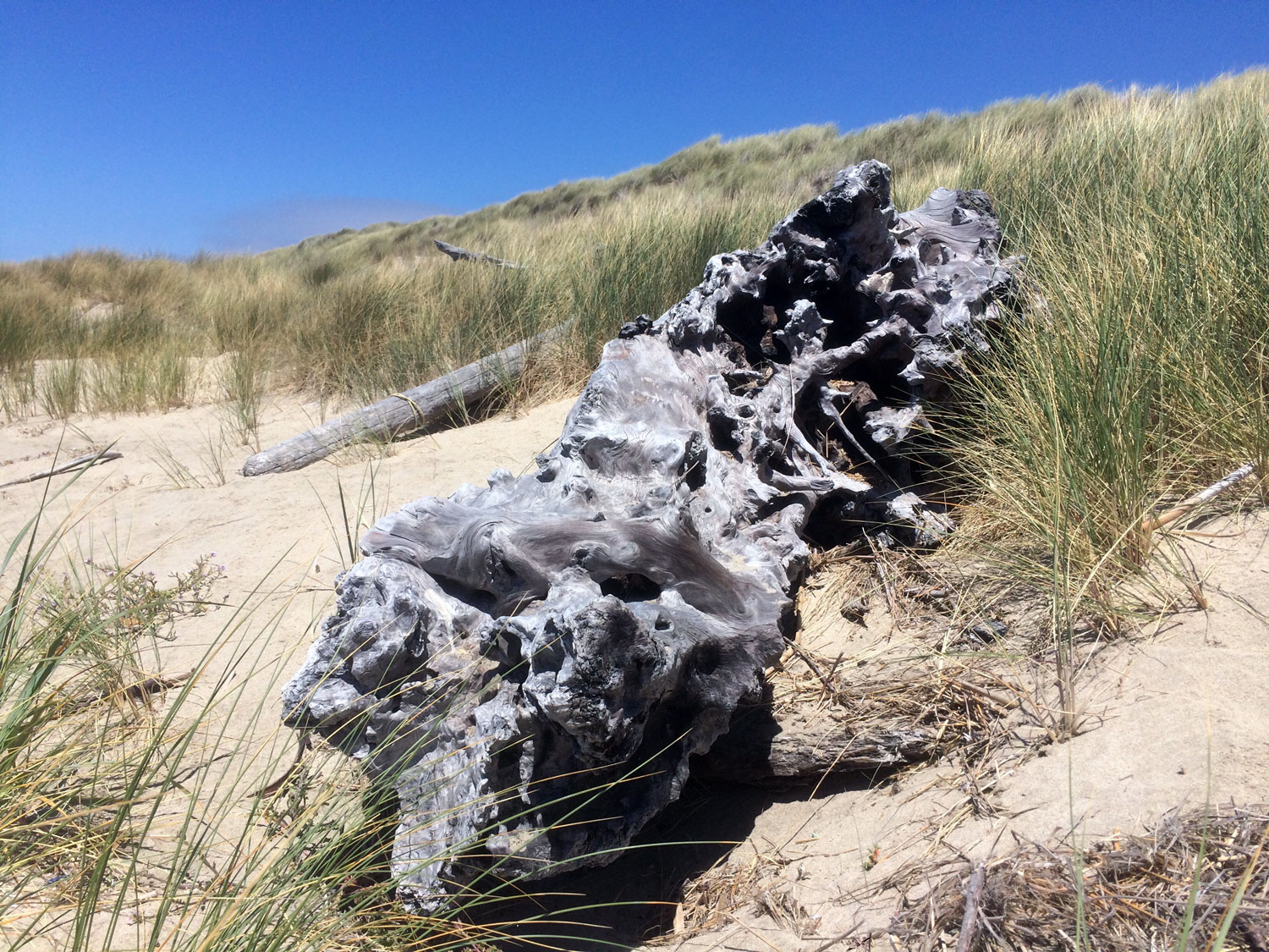
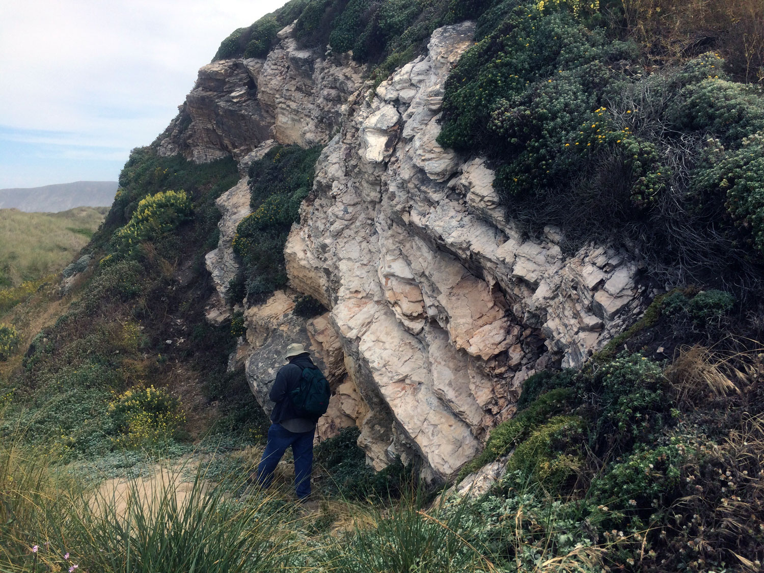
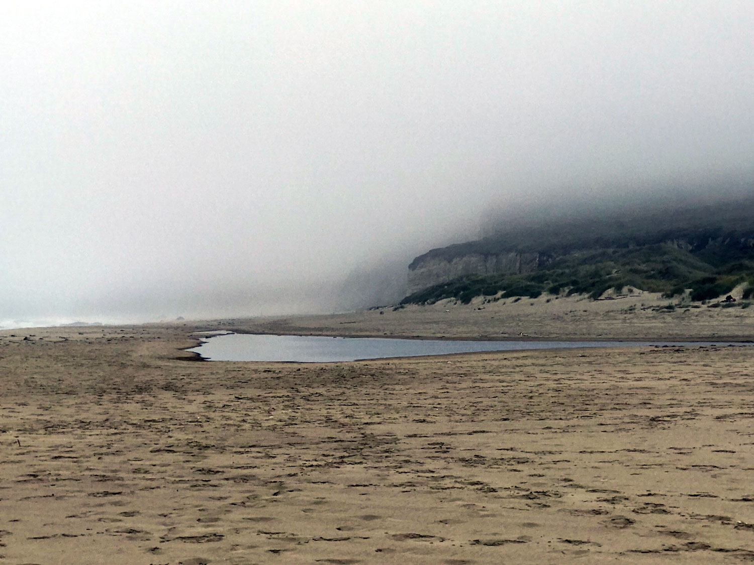
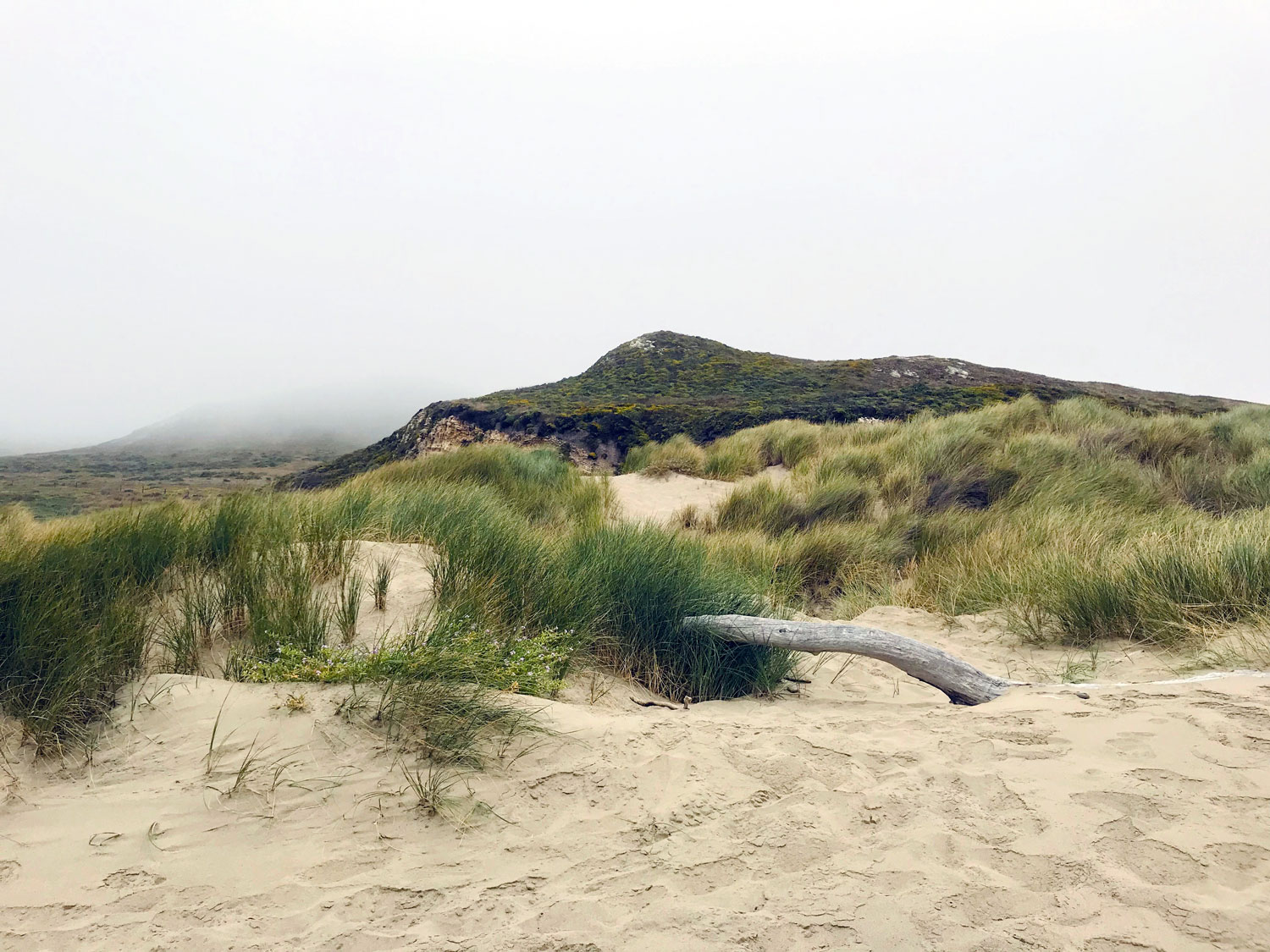
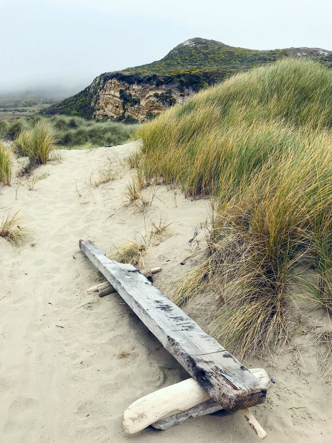
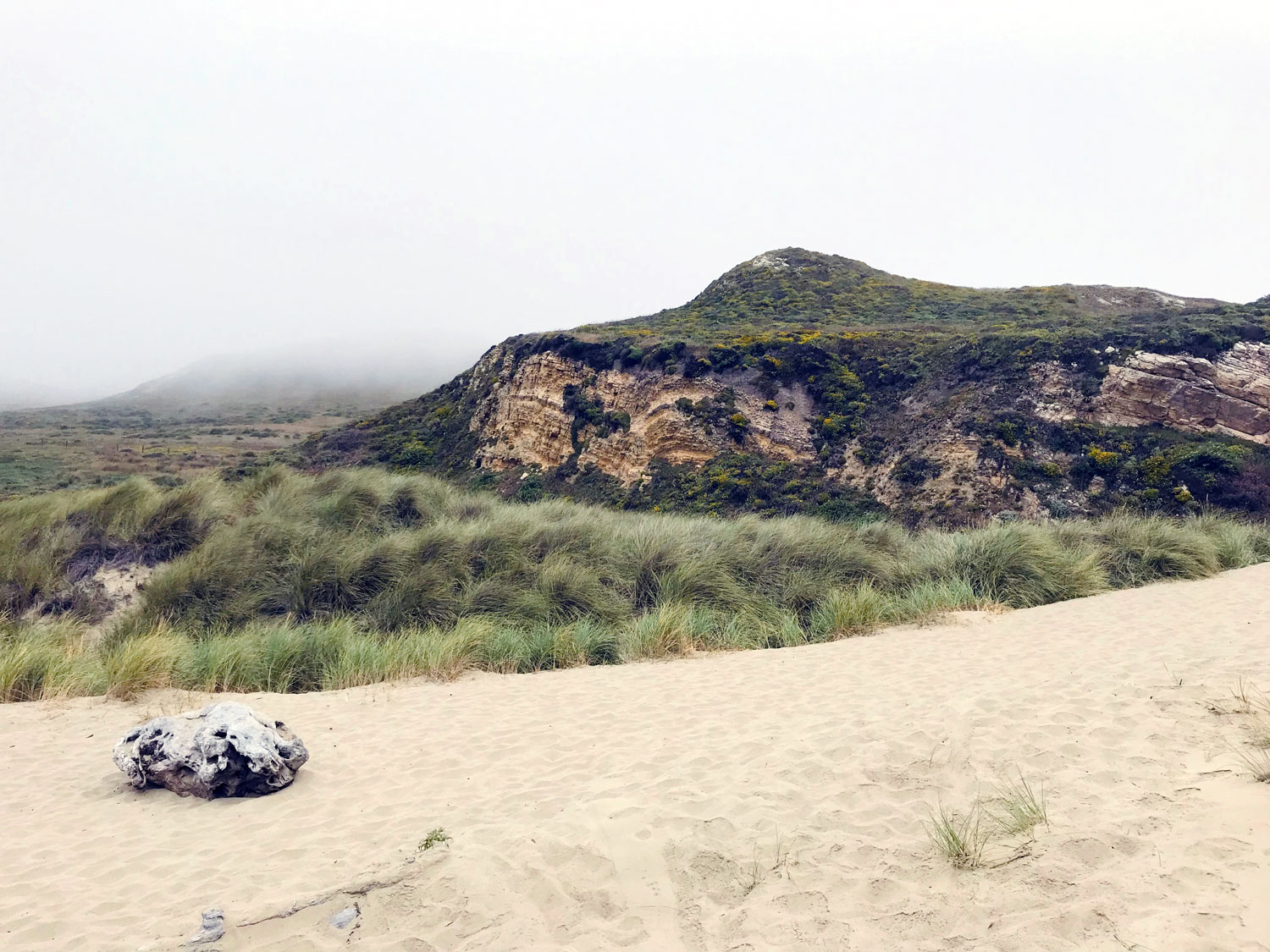
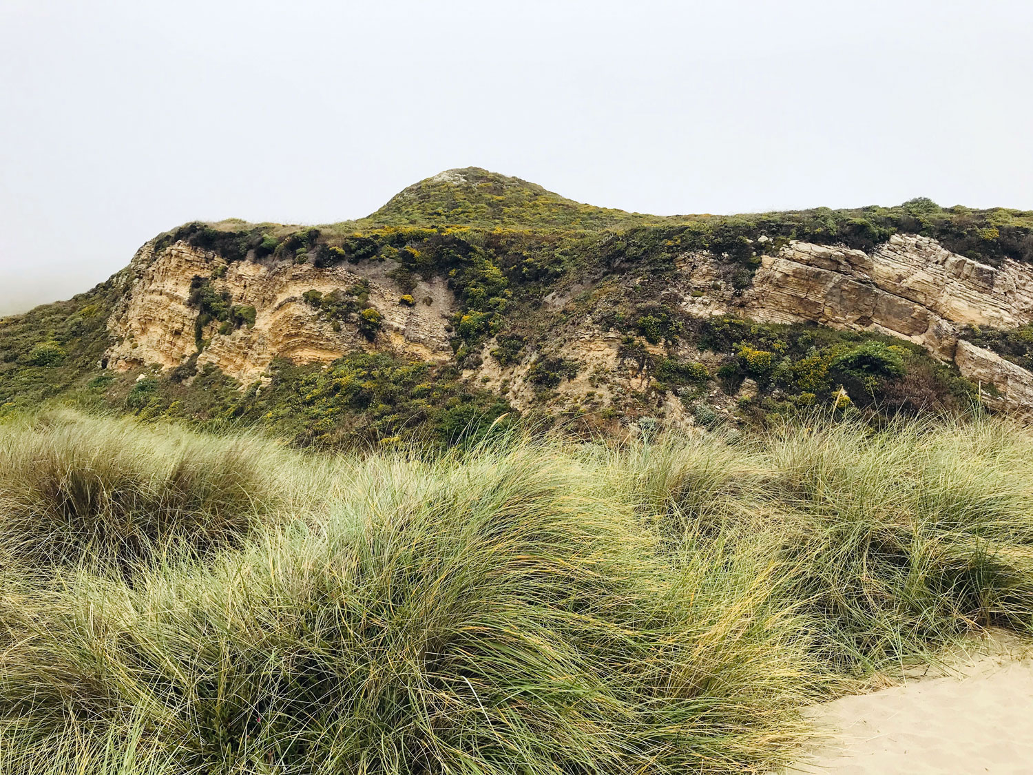
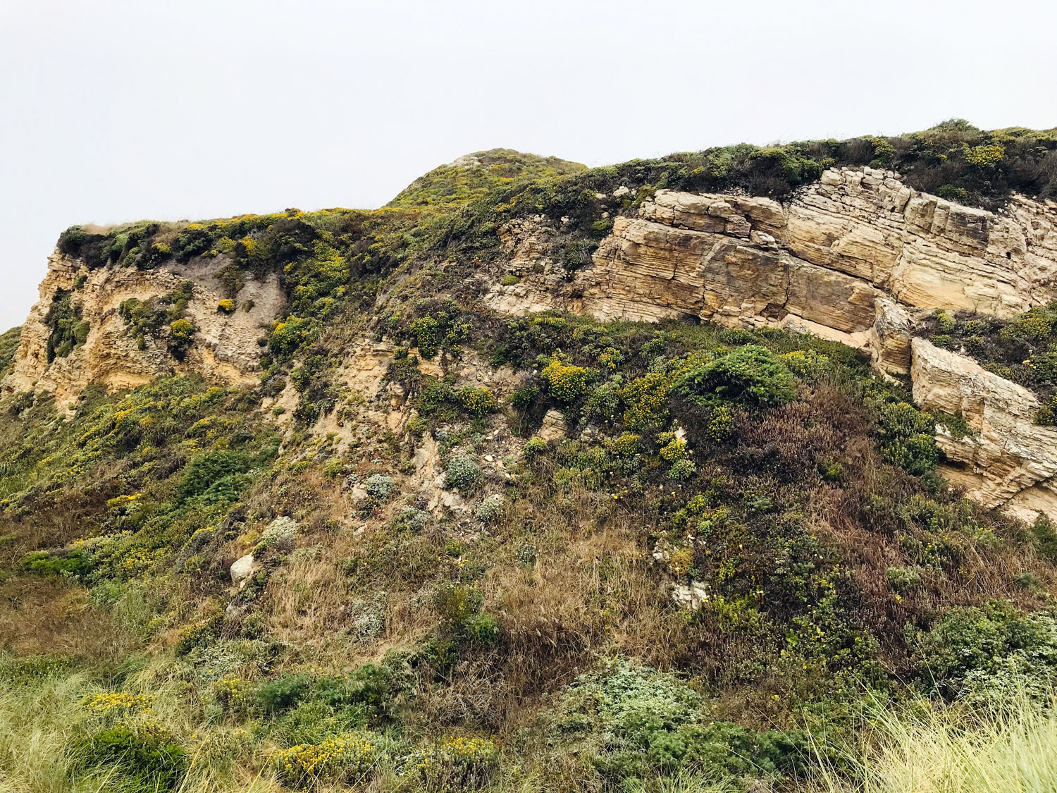
A geologic wonderland
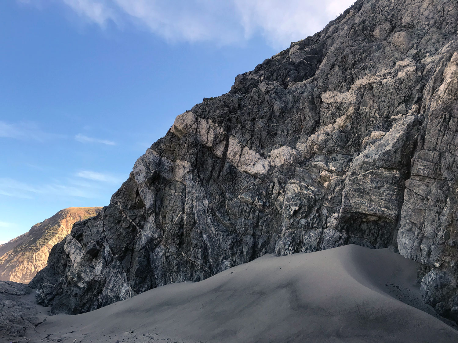

Kehoe Beach has a stunning display of Laird Sandstone, Monterey Formation rock, and granitic rocks including the oldest rocks in Point Reyes. At the end of the trail to the right is a large outcrop of Monterey Formation, 8 to 6 million years old, which is composed of microscopic skeletons of diatoms, single-celled plankton. Further down the beach, you come to Laird Sandstone cliffs. Geologist, Doris Sloan explains, “The fossil barnacles, mollusks, and other invertebrates in a layer near the base of the formation tell us that the Laird was deposited about 10 million years ago in a shallow marine environment near shore.” As you continue to walk north, look along the top of the sandstone cliffs to find the nest of a pair of peregrine falcons. You may see one or both soaring above the cliffs.
A few hundred feet further north, you come to granitic rocks —Granodiorite and Granite of Inverness Ridge that as Sloan explains, “once formed the southernmost end of the Sierra Nevada, about 350 miles south of their present location; they ended up on the other side of the San Andreas Fault system and got hijacked by the Pacific plate on its way north.” These are a plutonic igneous rock that formed about 85 million years ago deep in the crust from magma produced during long-ago plate collisions. These rocks are a tangle of different minerals — light-colored granitics and mixed with darker diorite and white dikes cutting through the older rocks. “You can also see inclusions of the older “country rock” into which the granitic melt (magma) intruded, breaking off pieces and altering them by heat and pressure. These metamorphosed rocks are the oldest on the peninsula, probably displaced relatives of Paleozoic rocks (more than 400 million years old!) seen today in the Southern Sierra.”
See Doris Sloan’s full Bay Nature article “Rocking Out at Kehoe Beach: A Trip Through Time on the Pacific Plate”: https://baynature.org/article/rocking-out-at-kehoe-beach/
Volunteer Opportunity: Snowy Plover Docent

western snowy plover, female (left) with chick (right), Photo by point reyes national seashore
Point Reyes National Seashore is looking for volunteers to educate visitors about the threatened Western Snowy Plovers during nesting season from Memorial Day to Labor Day. Docents staff an information table at a trailhead or on the beach and walk the trail and beach informing visitors about Snowy Plovers.