
Chasing fog on the Z Ranch Trail
Would the fog still be lingering on Inverness Ridge by the time I hiked ninety minutes to the top? That was the question on my mind as I started a late-morning hike in Bear Valley on a mild August day. Mount Wittenberg peak, at 1407 feet tall, is the highest point on the Inverness Ridge (and the entire Point Reyes Peninsula) and is often enshrouded in fog. Trails such as Z Ranch and Mt Wittenberg are very special places in late summer (July, August, September) when fog is reliably crowning the ridgeline, creating misty cloud forests.
My route was a 5.6 mile loop on the Morgan Trail, Horse Trail, Z Ranch Trail and Mt Wittenberg Trail with the goal of testing this hike for the 2027 Point Reyes Hiking Calendar. It would check off two of the few remaining trails not yet featured in the calendar — the Horse and Morgan trails, plus a visit to the Morgan Horse Ranch.
Morgan Trail
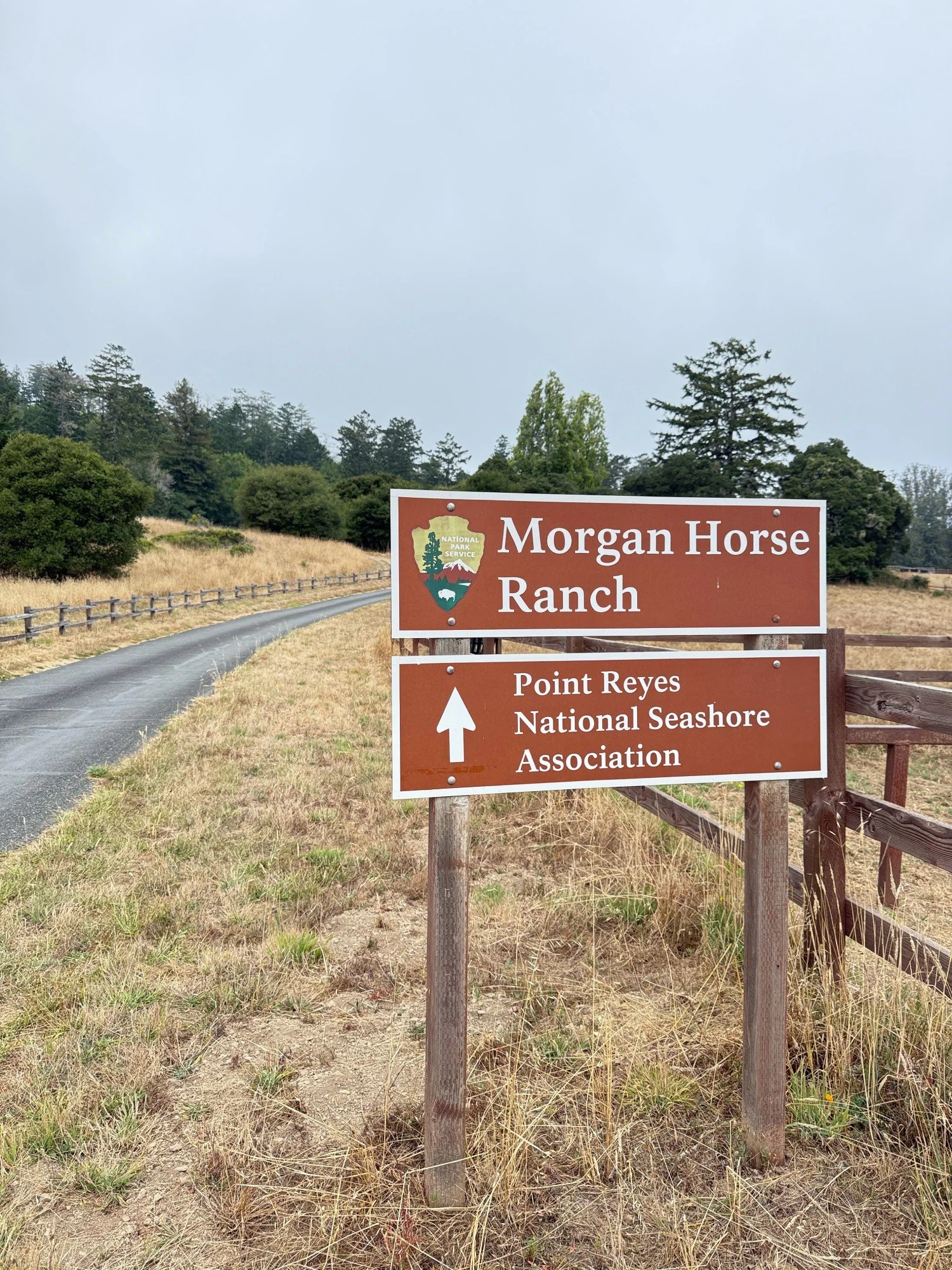
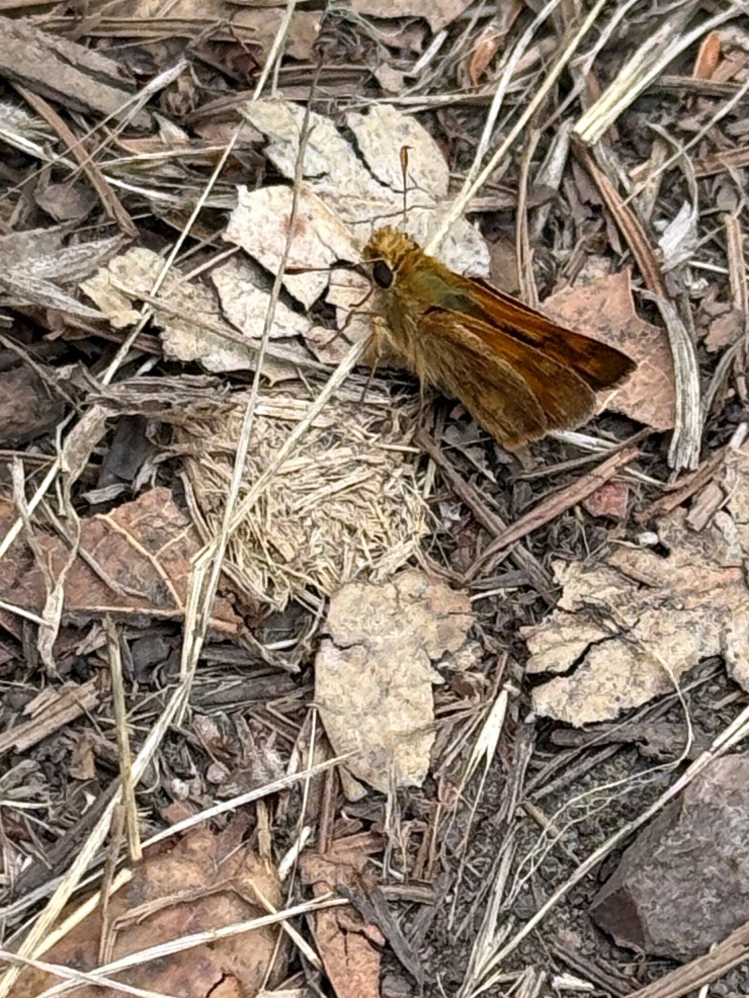
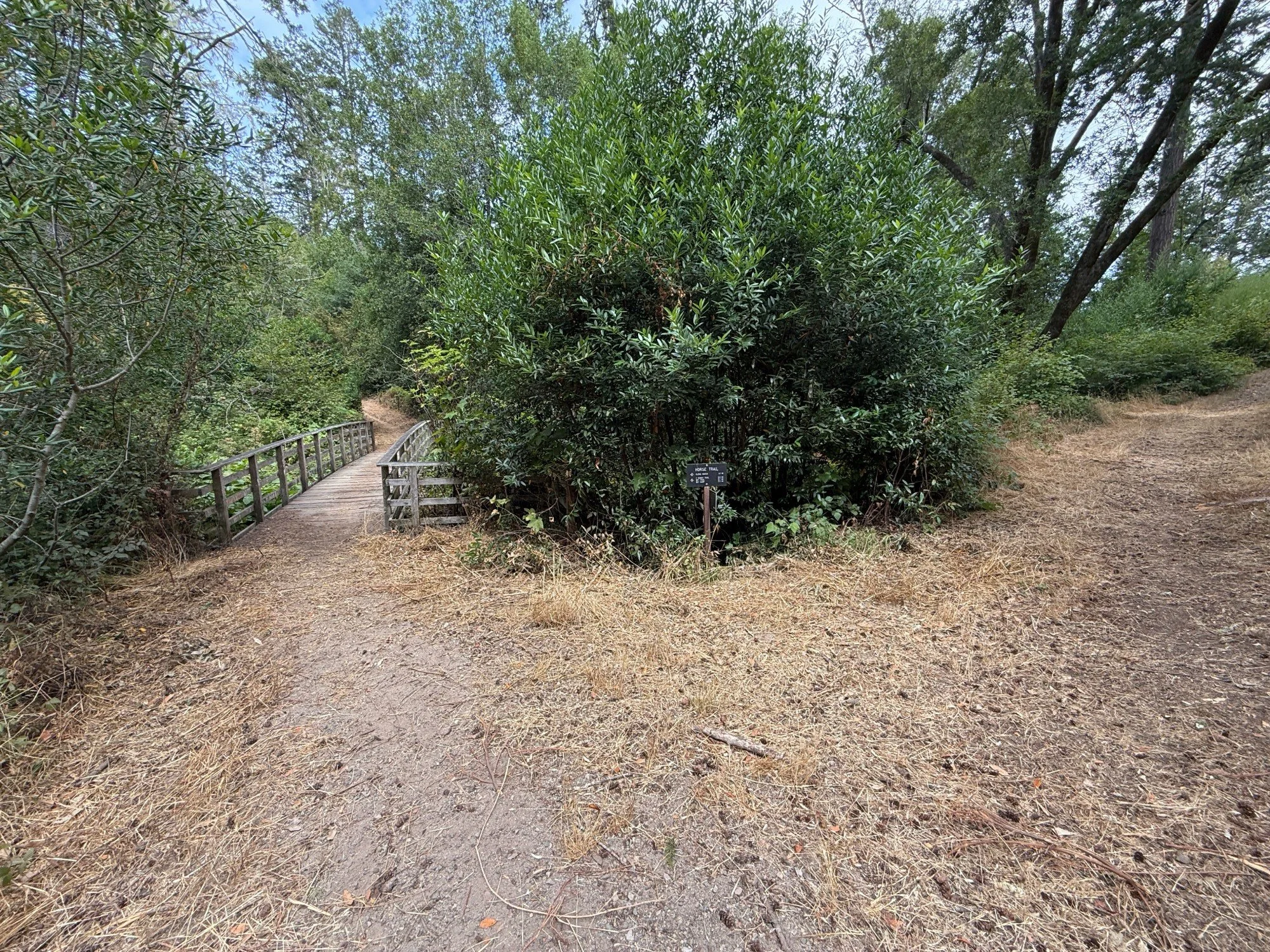
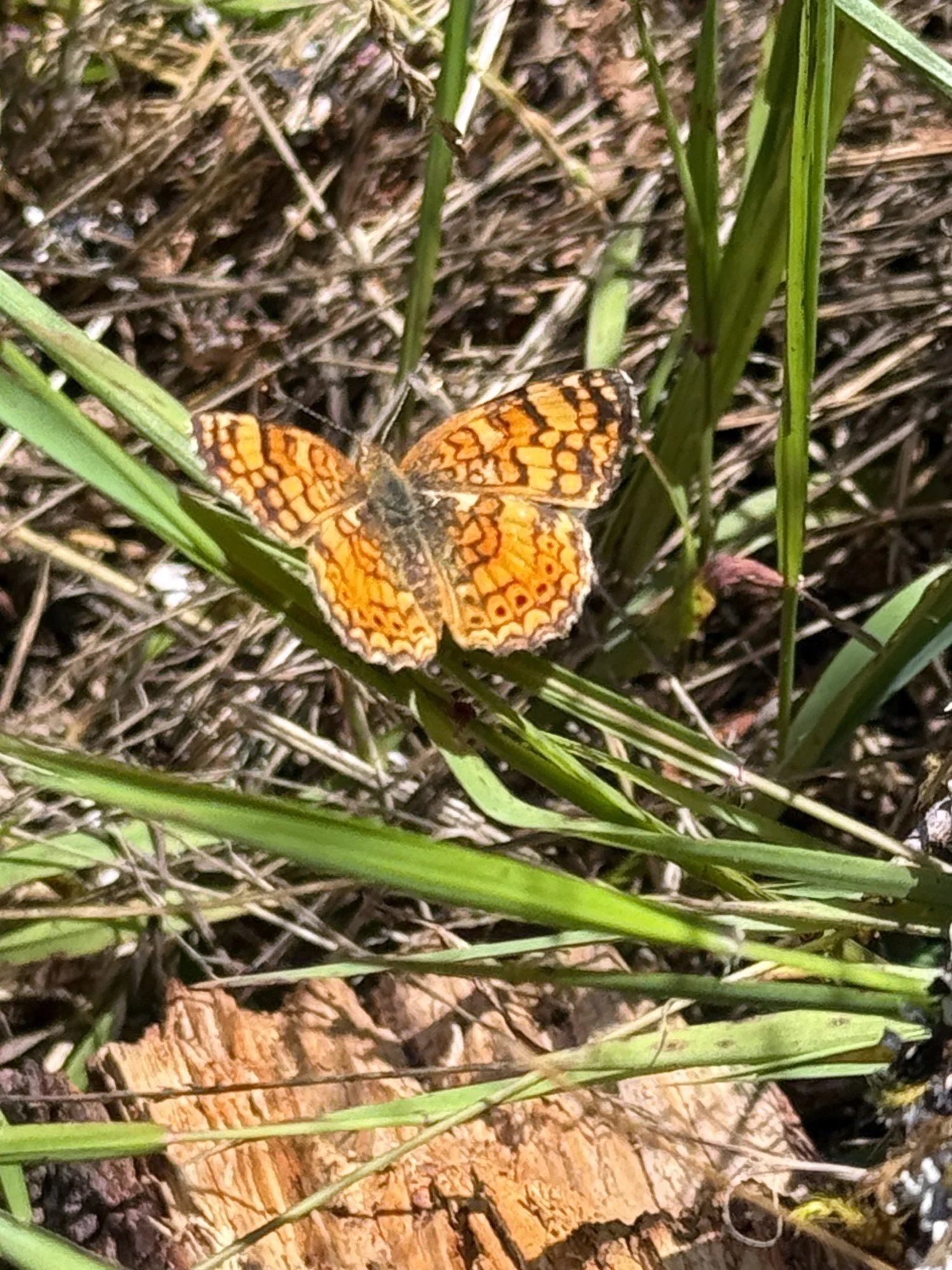
Departing from the Bear Valley parking lot, I walked up the paved driveway behind the visitor center to the Morgan Horse Ranch where I paused at the memorial stone for barn cats, Sylvia and Dante. Sylvia brought many joyous moments to our family often greeting us at the ranch buildings. Dante was more shy. I continued toward the forest and turned right onto the dirt Morgan Trail for a short half mile walk to the Horse Trail. From the trail, I watched the Morgan horses munching on breakfast in their paddocks. A Woodland Skipper butterfly was resting on dried leaves on the trail. I managed to get close enough for a photo. At the junction with the trail to Kule Loklo, the Morgan Trail headed downhill. At the end of the Morgan Trail, I crossed the wooden bridge onto the Horse Trail.
Horse Trail
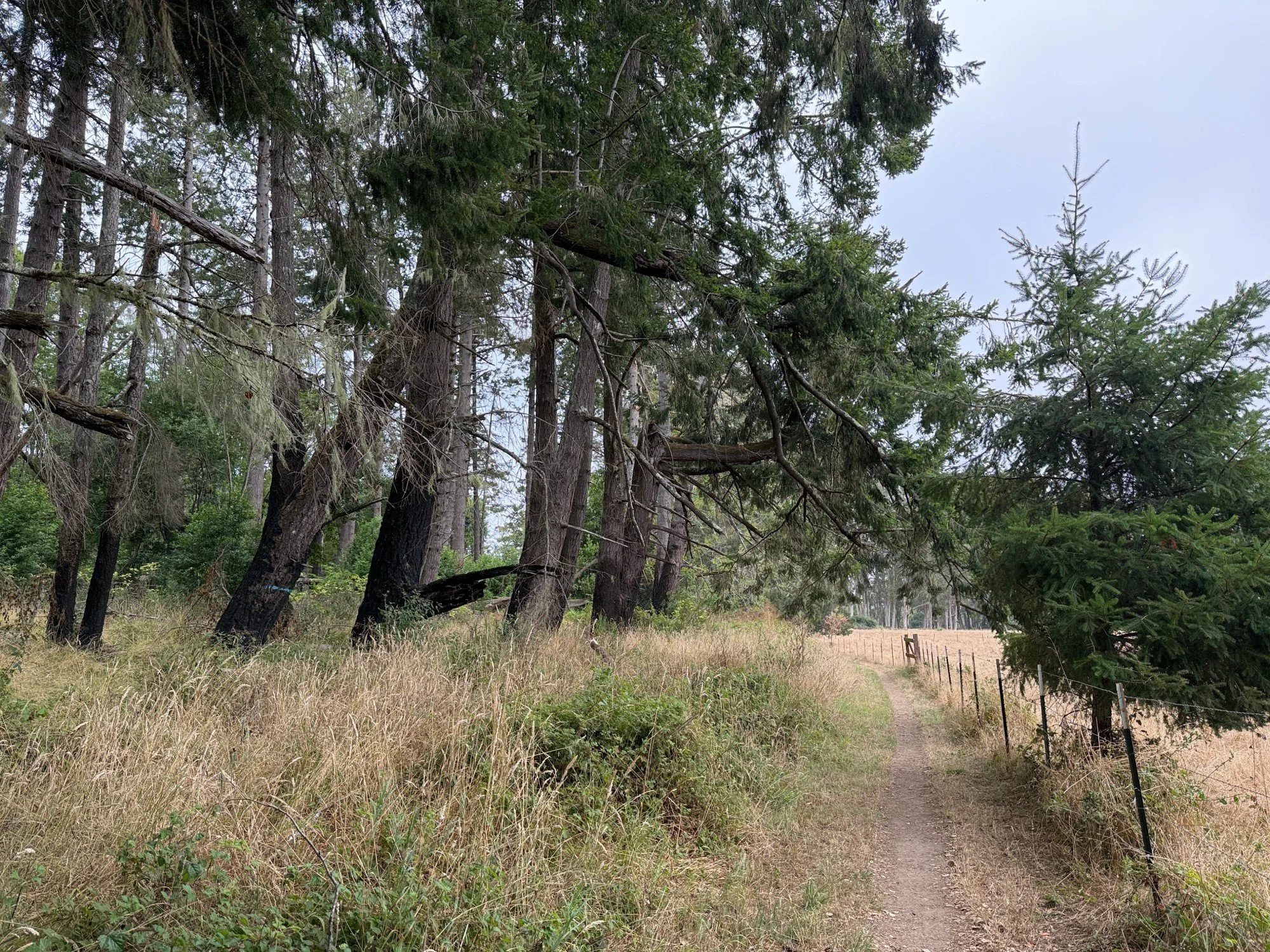
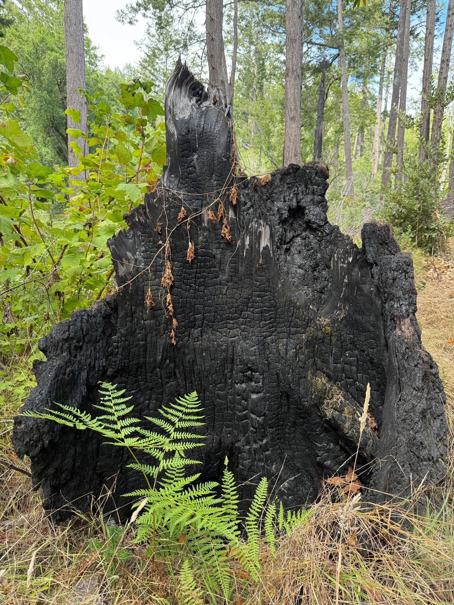
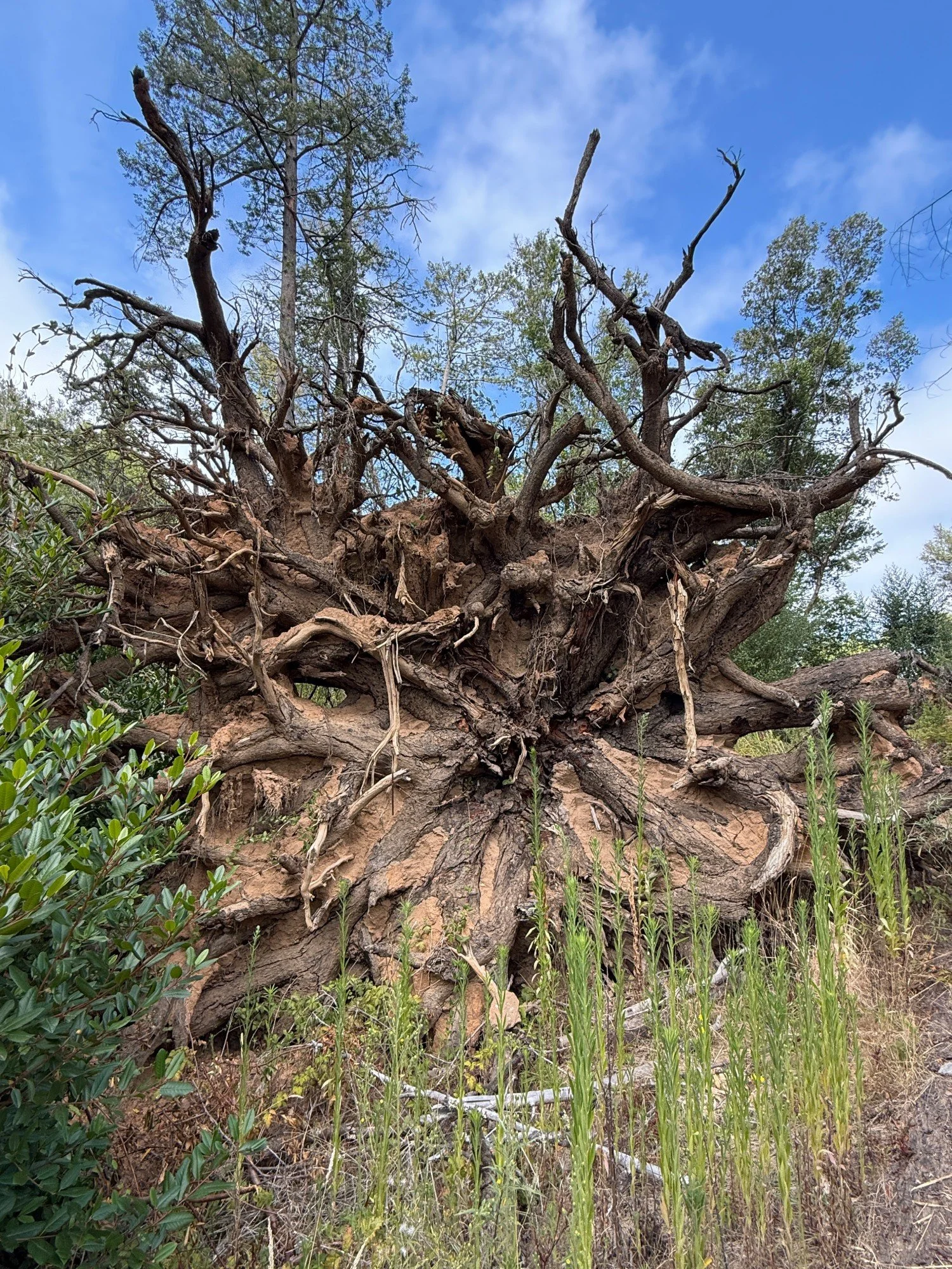
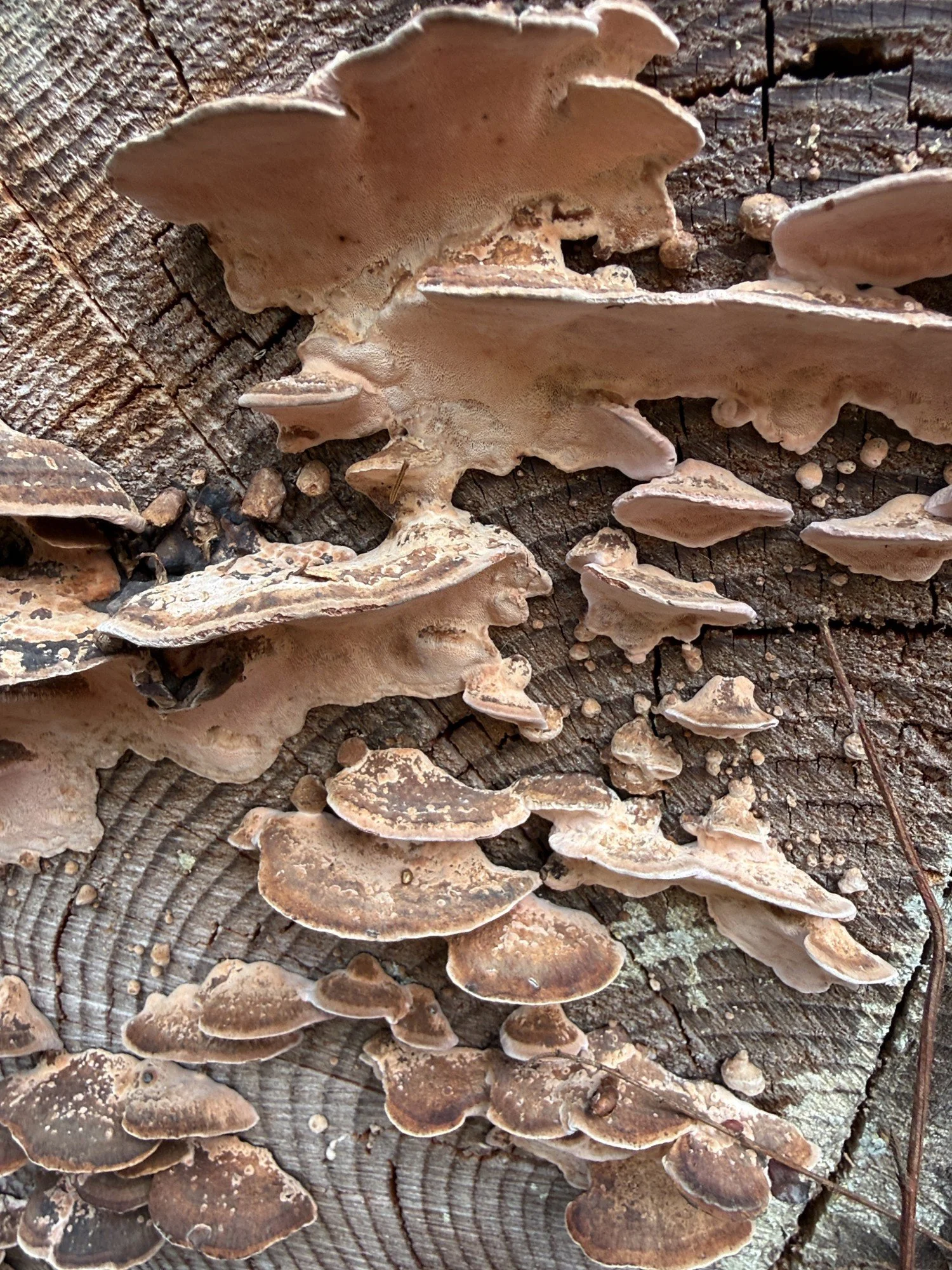
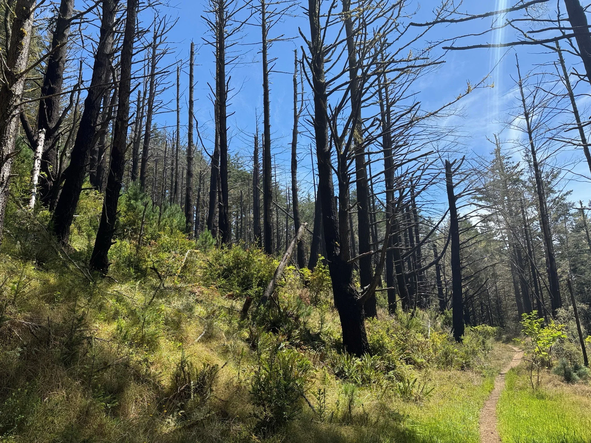
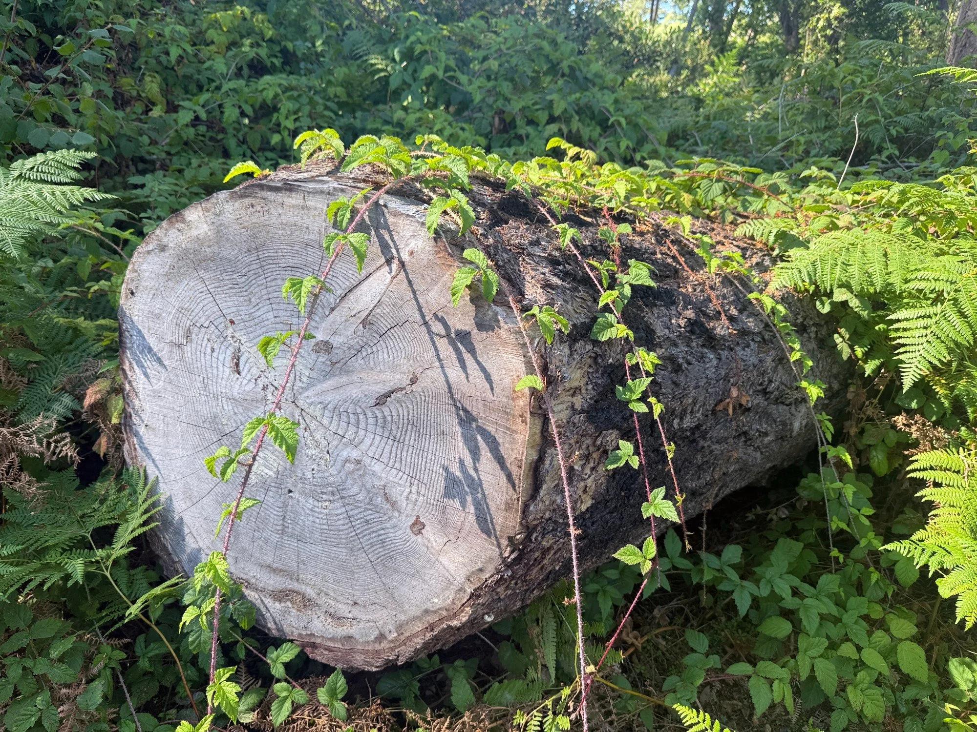
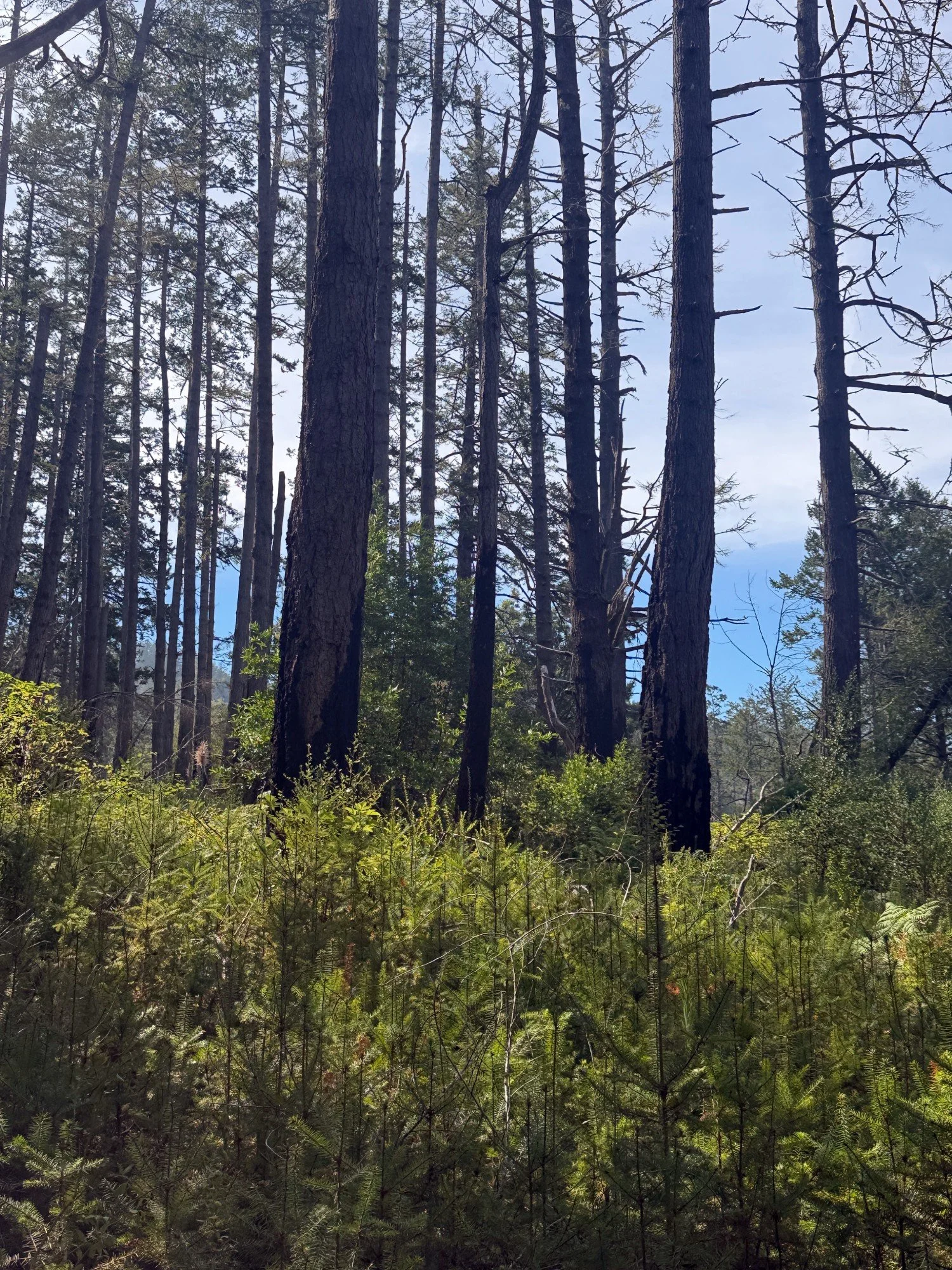
The last time I hiked the Horse and Z Ranch trails was in 2020, a few months before the Woodward Fire. Today, fallen trees and blackened trunks are lingering evidence of the fire. Impressively large root balls were upended along the Horse trail joined by scorched tree stumps, many fallen trunks, and standing dead or dying tree snags. Snags are a rich resource for birds and critters to dig for insects and to nest in cavities. Acorn woodpeckers were noisily gathering in the bare branches of several snags. Vines and rosy conk were laying claim to the fallen trunks.
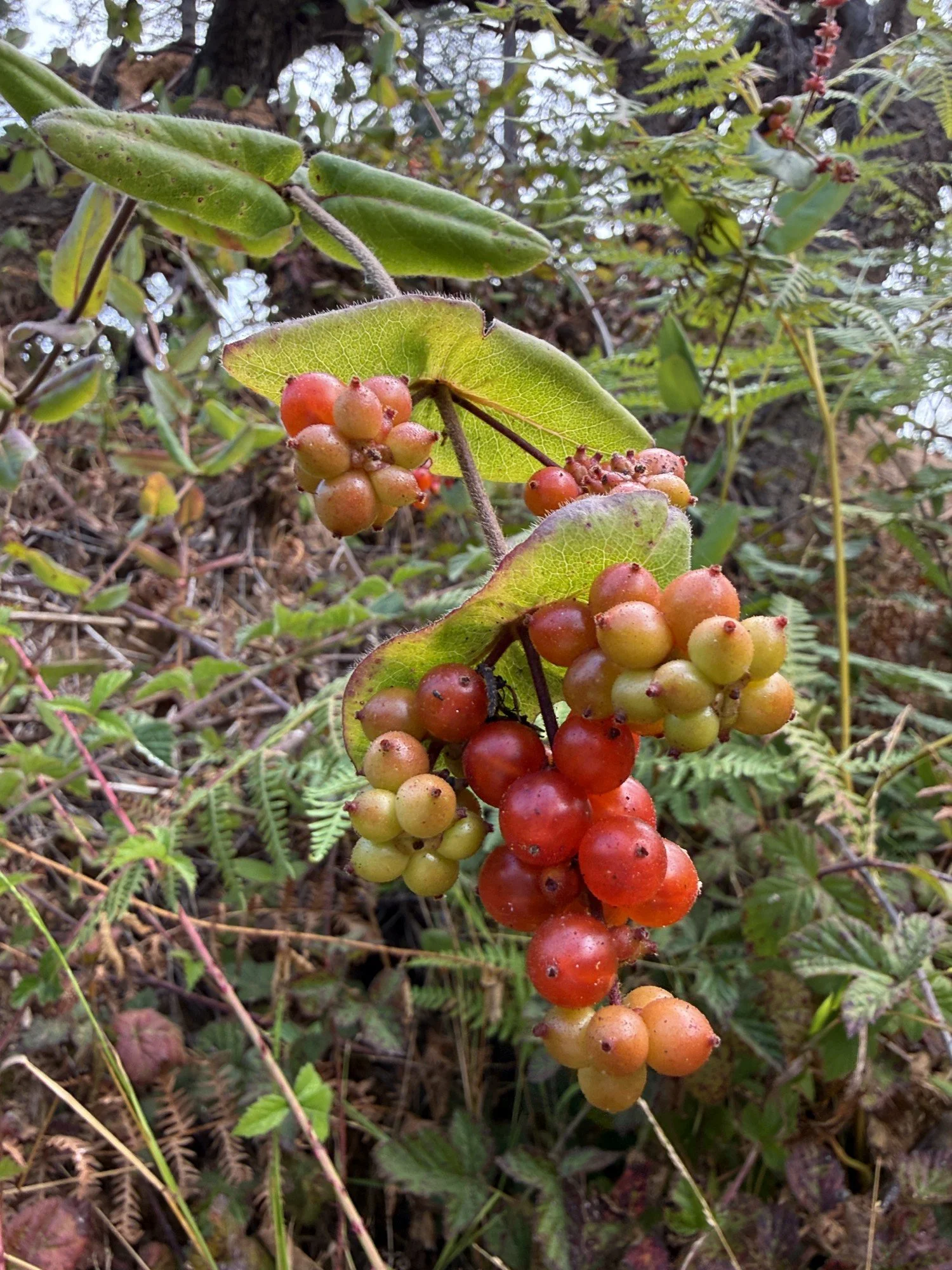
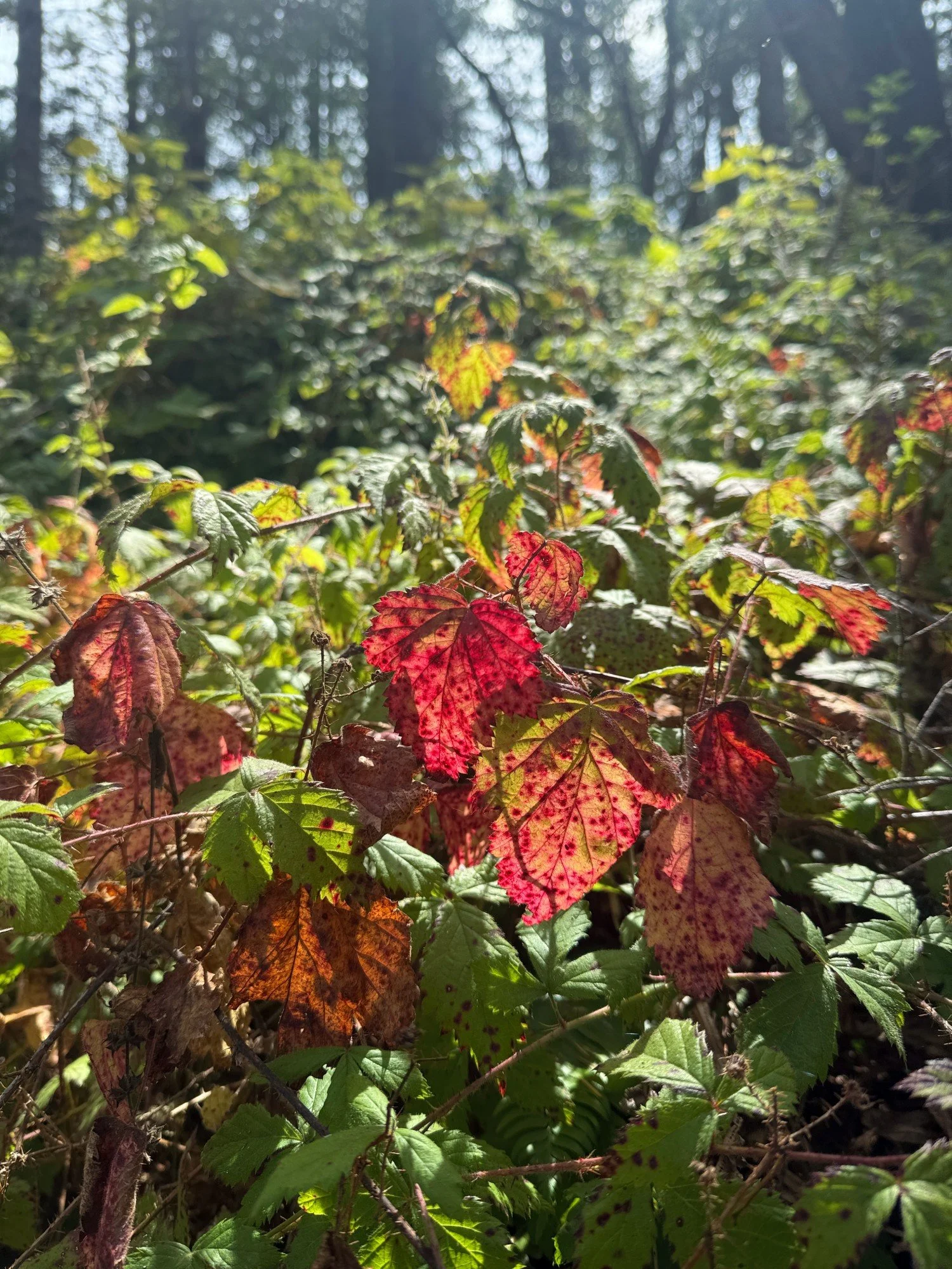
The Horse Trail is more open with fewer trees blocking light and views as a result of the fire and subsequent trail clearing. I could see fog at the top of the ridge line but wondered if it would still be there when I finally inched my way up the 2.4 mile incline. My frequent pauses to rest and to explore birds, bugs, and plants along the trail would need to be quicker. Bay trees, hazelnuts, trailing blackberry vines, and thorny currants were abundant. The Merlin app identified these birds by sound: Acorn Woodpecker, Hairy Woodpecker, Chestnut-backed Chickadee, Song Sparrow, Wilson’s Warbler, Spotted Towhee, European Starling, Bewick’s Wren, and Red-tailed Hawk. Another ten minutes along the trail, higher up on the ridge and thicker with Douglas firs, Merlin also heard Wrentit, Golden-crowned Kinglet, and Pygmy Nuthatch. I was thrilled to catch a brief yellow flash of the Wilson’s Warbler and I may have seen the nuthatch hanging upside down. Toward the end of the trail, two more birds were added — Northern Flicker (which I saw calling from a snag!) and Brown Creeper.
About midway up the Horse Trail, I ran into Richard Vacha, a local tracking expert, who was on his way down the Horse Trail after briskly hiking up earlier that morning in preparation for an upcoming backpacking trip. His boundless energy is an inspiration to hike more often! He can easily hike the five mile roundtrip Horse Trail in an hour whereas I spent ninety-minutes hiking one way. Continuing on my hike, clearings in the foliage revealed a thin veil of fog persisting along the treetops of the ridge. I was hopeful!
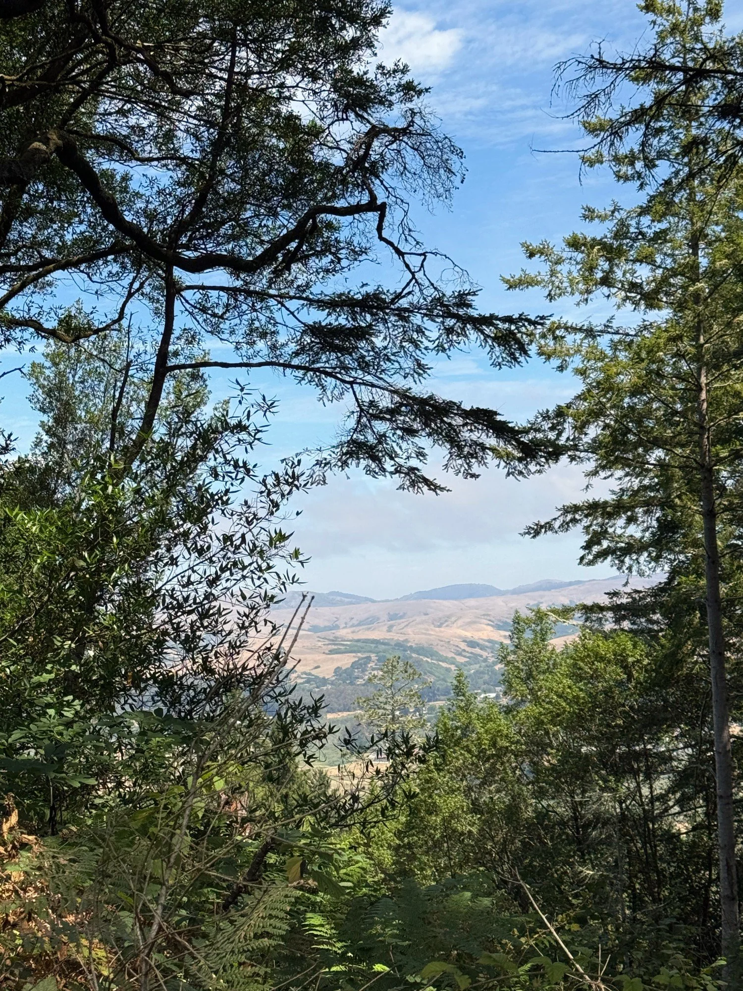
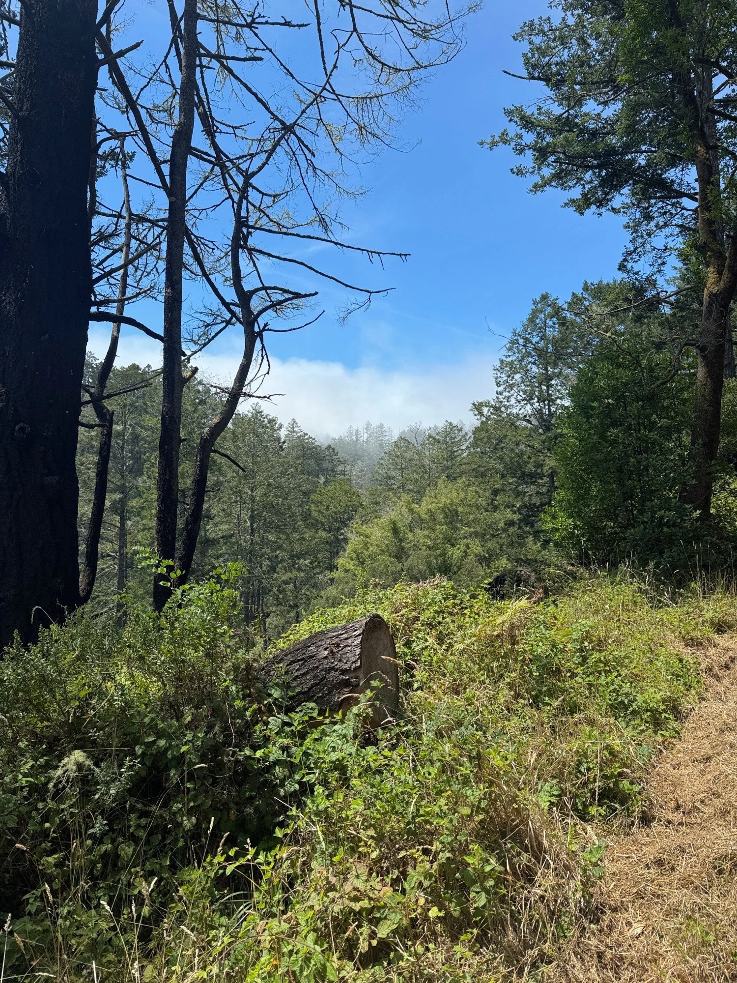
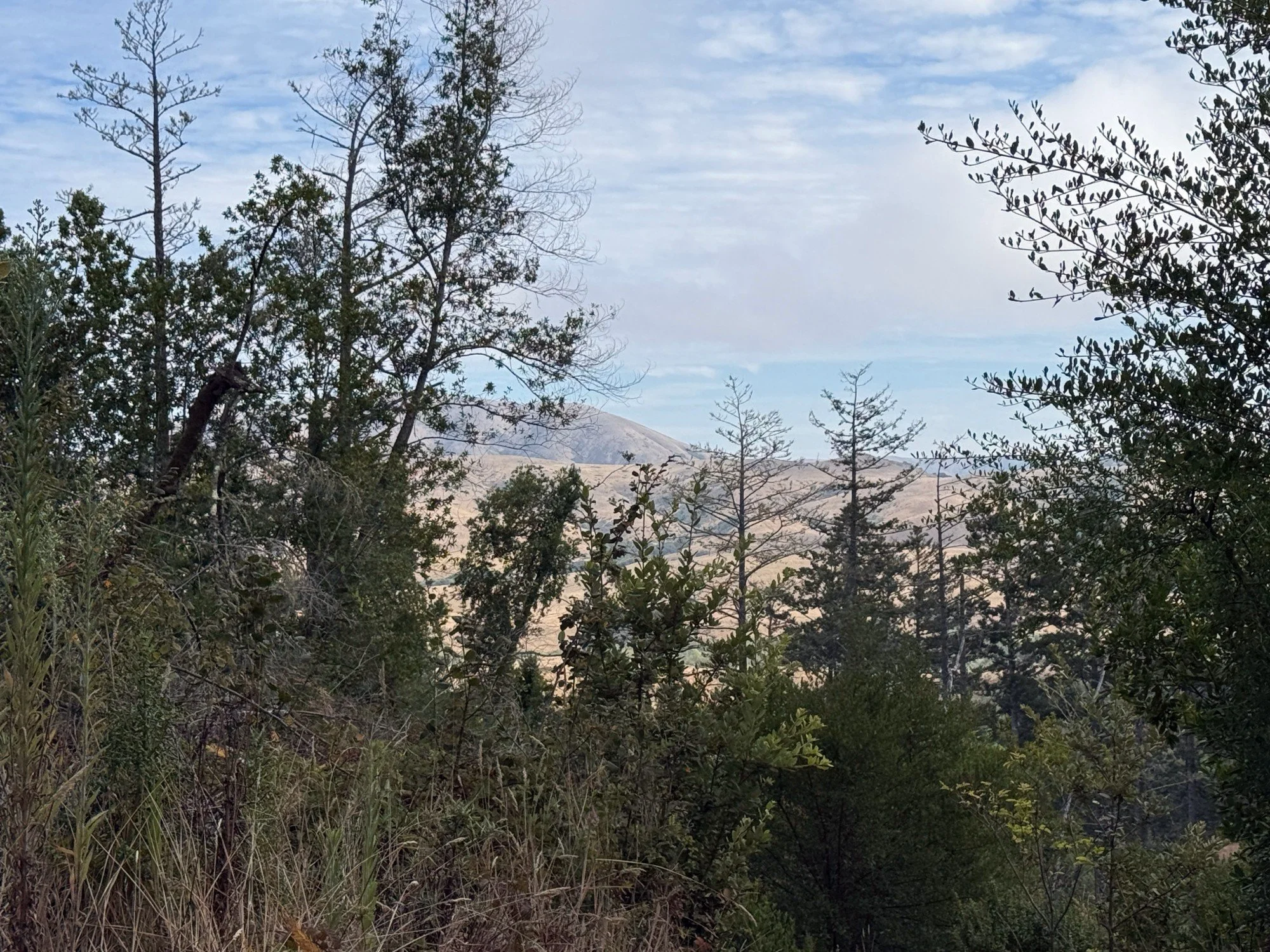
The Horse Trail is a steady incline with a solid dirt path. The trail had recently been mowed providing an easy hiking path which made me very happy. I would not have to slog through tall grasses! The last part of the Horse Trail levels out before the intersection with the Z Ranch Trail. The Horse Trail continues for another 0.4 miles to Sky Trail, but I veered left onto Z Ranch. I was welcomed by the loud, clear call of a Pacific Wren.
Z Ranch Trail
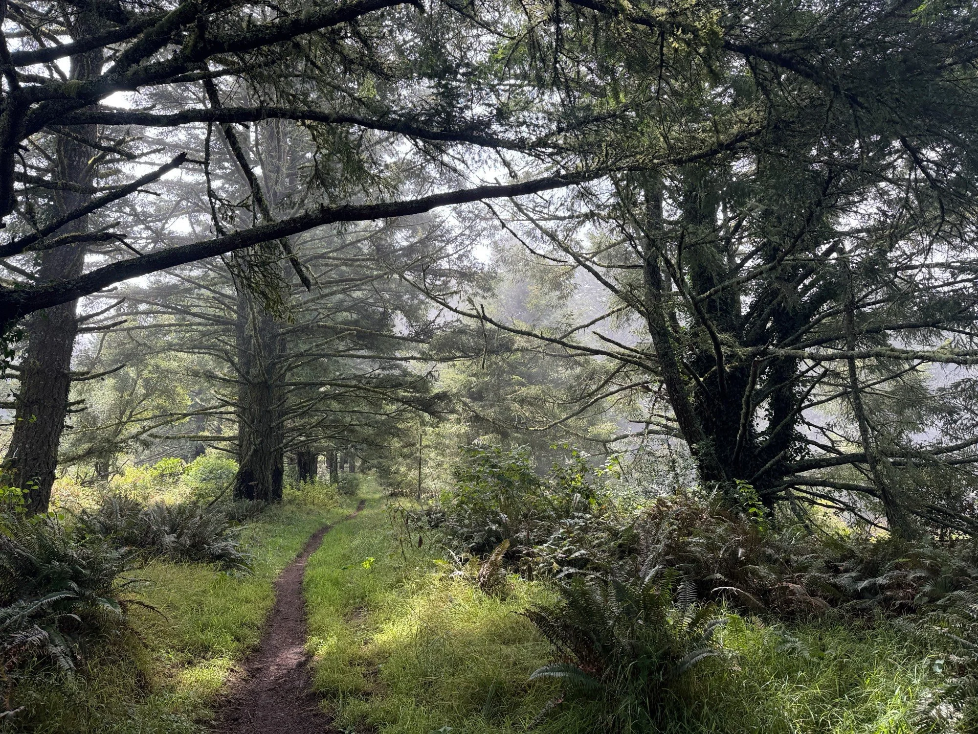
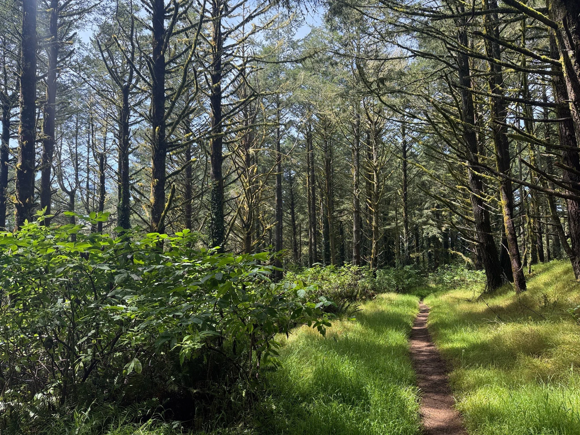
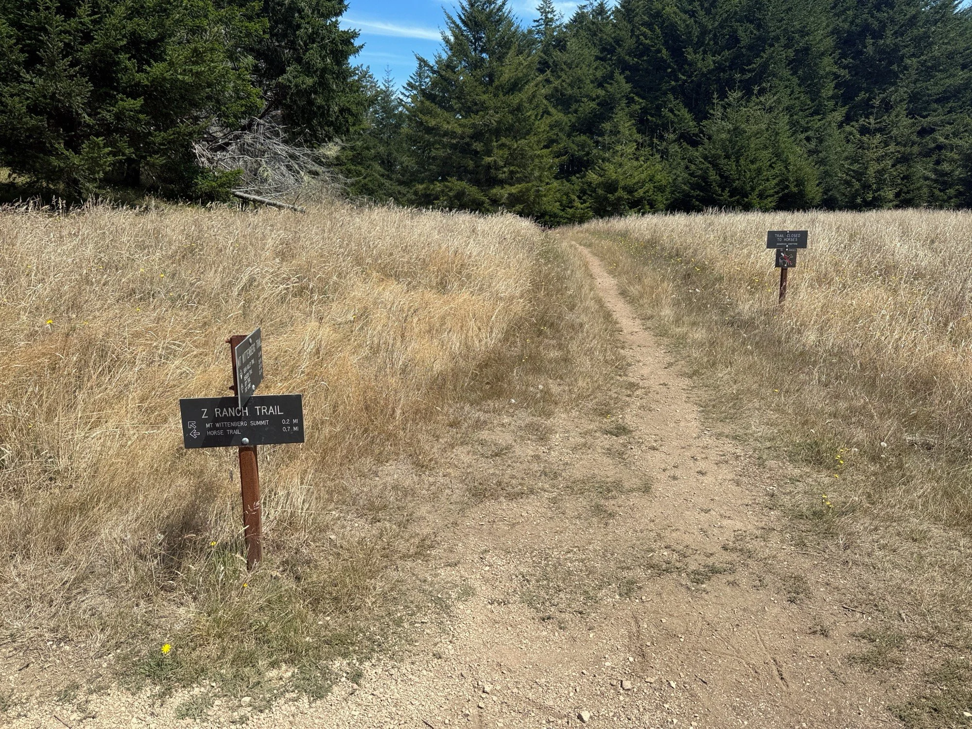
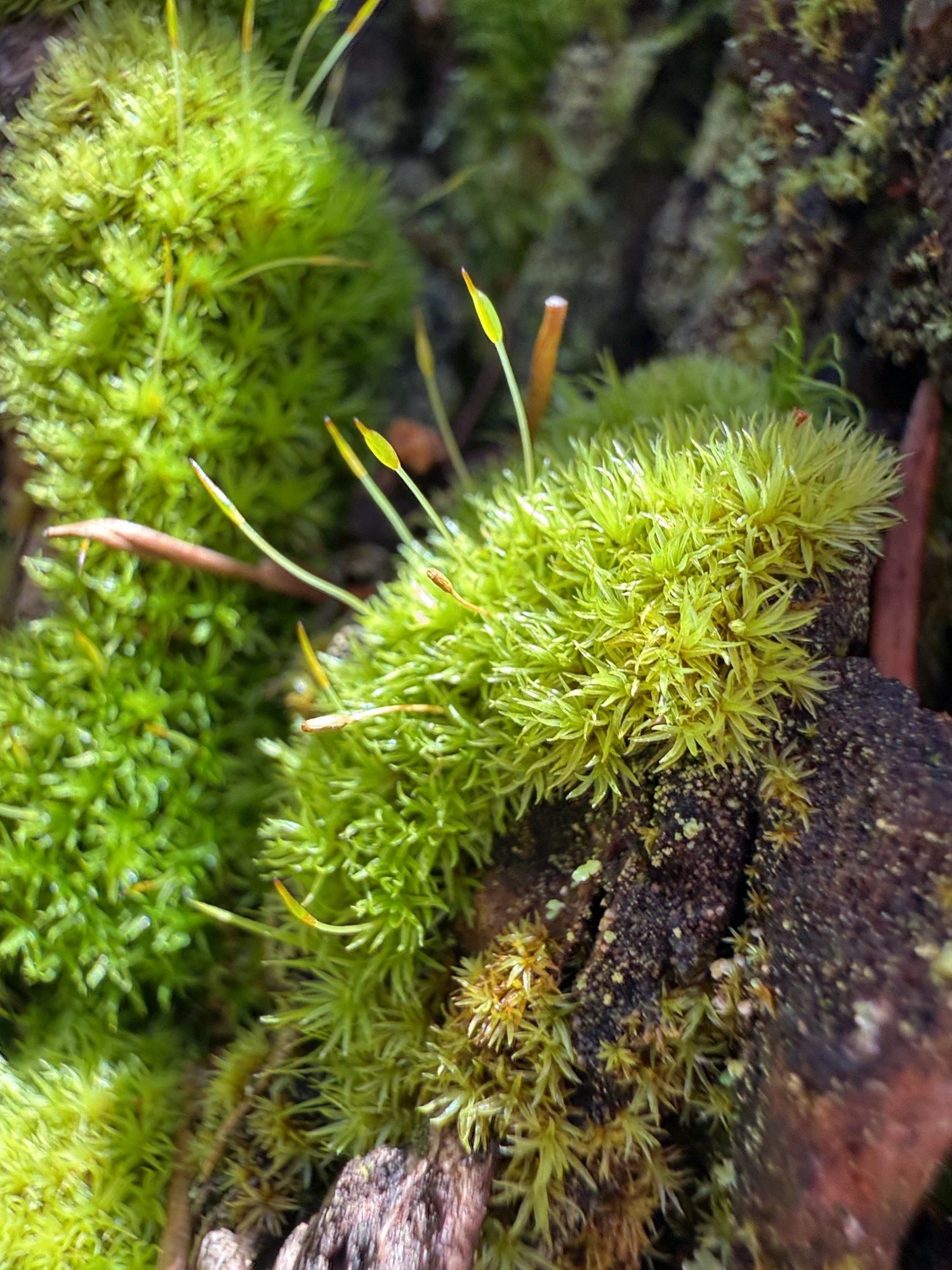
Z Ranch is a 0.7 mile connector trail between the Horse and Mt Wittenberg trails. It roughly parallels Sky Trail. The terrain is dominated by Douglas firs, sword ferns, red-berried elder and moss which are all lovely in the fog. Douglas fir branches dripped with green moss which was illuminated in the dappled light filtered through the tree tops. A slow puff of fog unfurled through the trees and across the trail ahead. Yes!! I experienced a moment of foggy magic!
The surrounding greenery and ground were wet and dripping with moisture from the fog — at times sounding like rainfall. I paused for a while taking it all in.
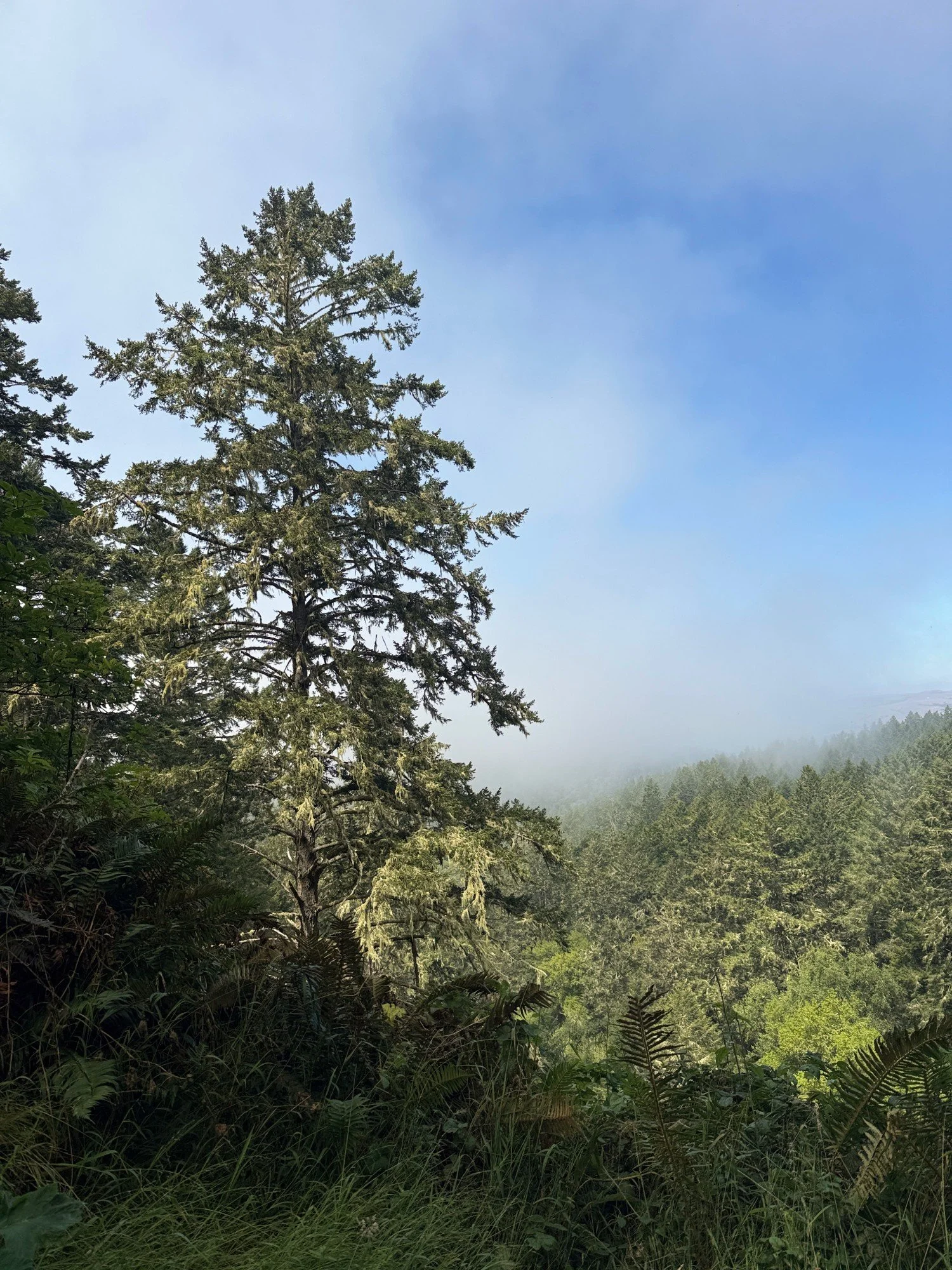
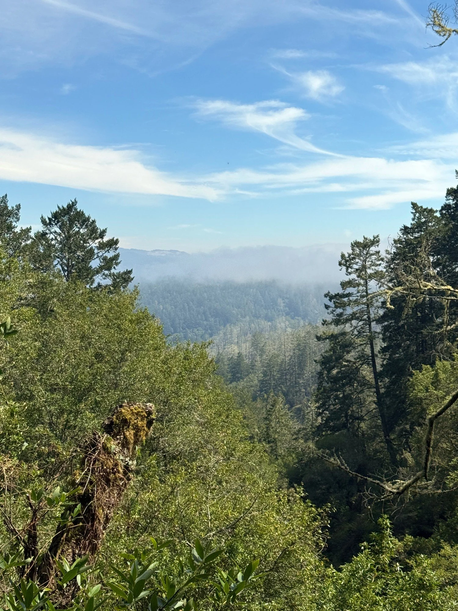
I was curious how clear or obscured the view would be from my favorite clearing overlooking the hills toward Tomales Bay. I have comparison photos of foggy days and clear days with the same fir tree as a reference. Today, visibility was somewhere in the middle — mostly clear to the horizon with some fog obscuring the distant hills. Check out Misty and Clear: the view through the trees on my Z Ranch hike page.
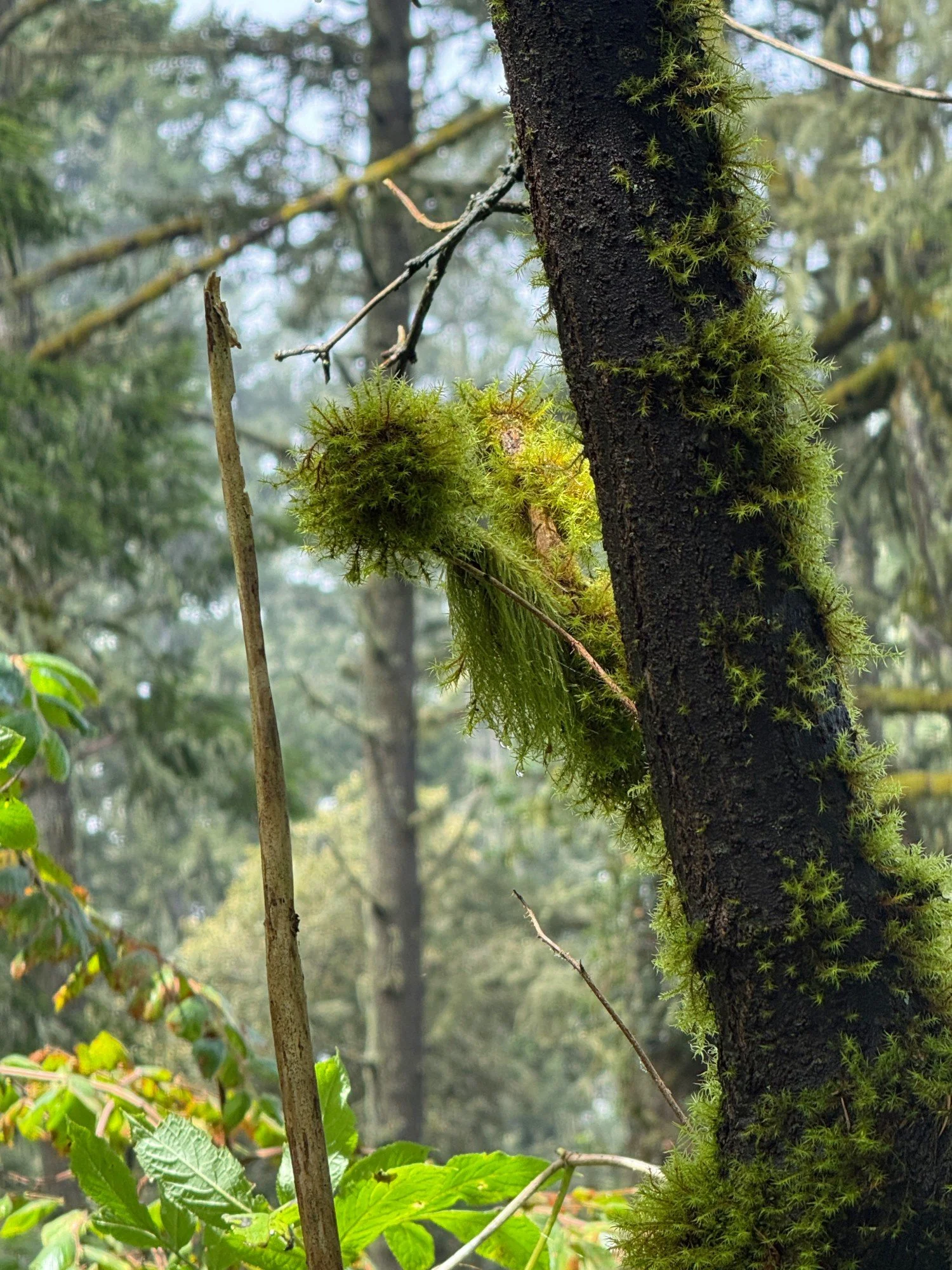
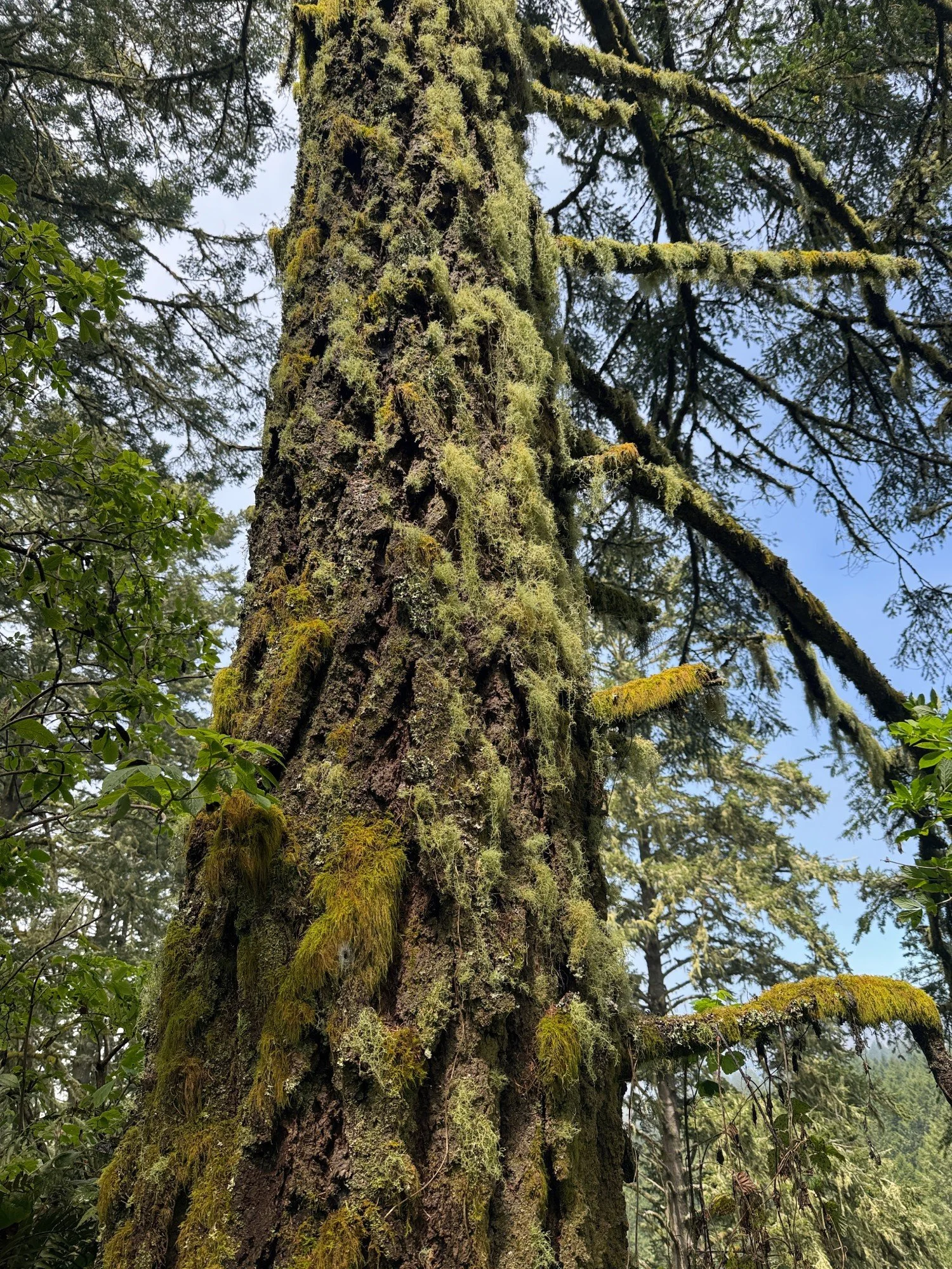
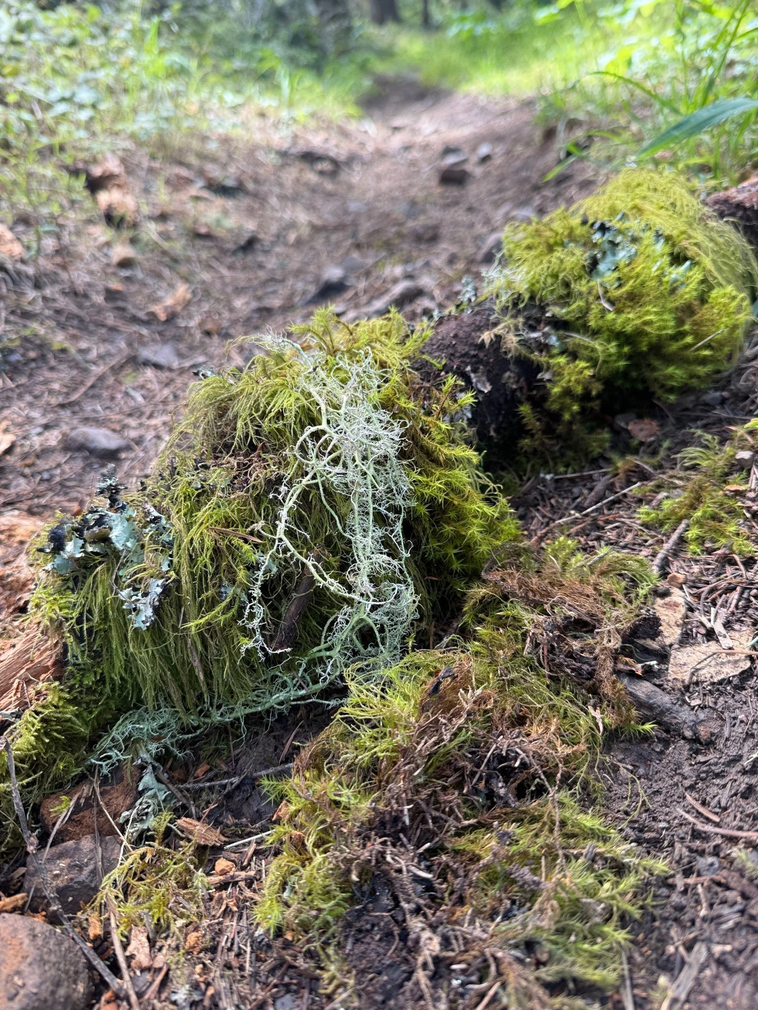
Another magic moment was encountering a mossy “lollipop” growing from a tree, and many fir trees covered in a patchwork of colorful lichens and moss. An unofficial social path winding up the hillside on the left caught my eye and I followed it for a while. It headed uphill toward Mt Wittenberg and paralleled the Mt Wittenberg Trail for a bit. I backtracked to where I had left the trail to avoid missing anything on Z Ranch. Tall wet grasses on the hillside meant I emerged from my off-trail experience with wet boots and pants but thankfully no hitchhiking ticks! Even with moderate fire damage, Z ranch remains a lovely trail.
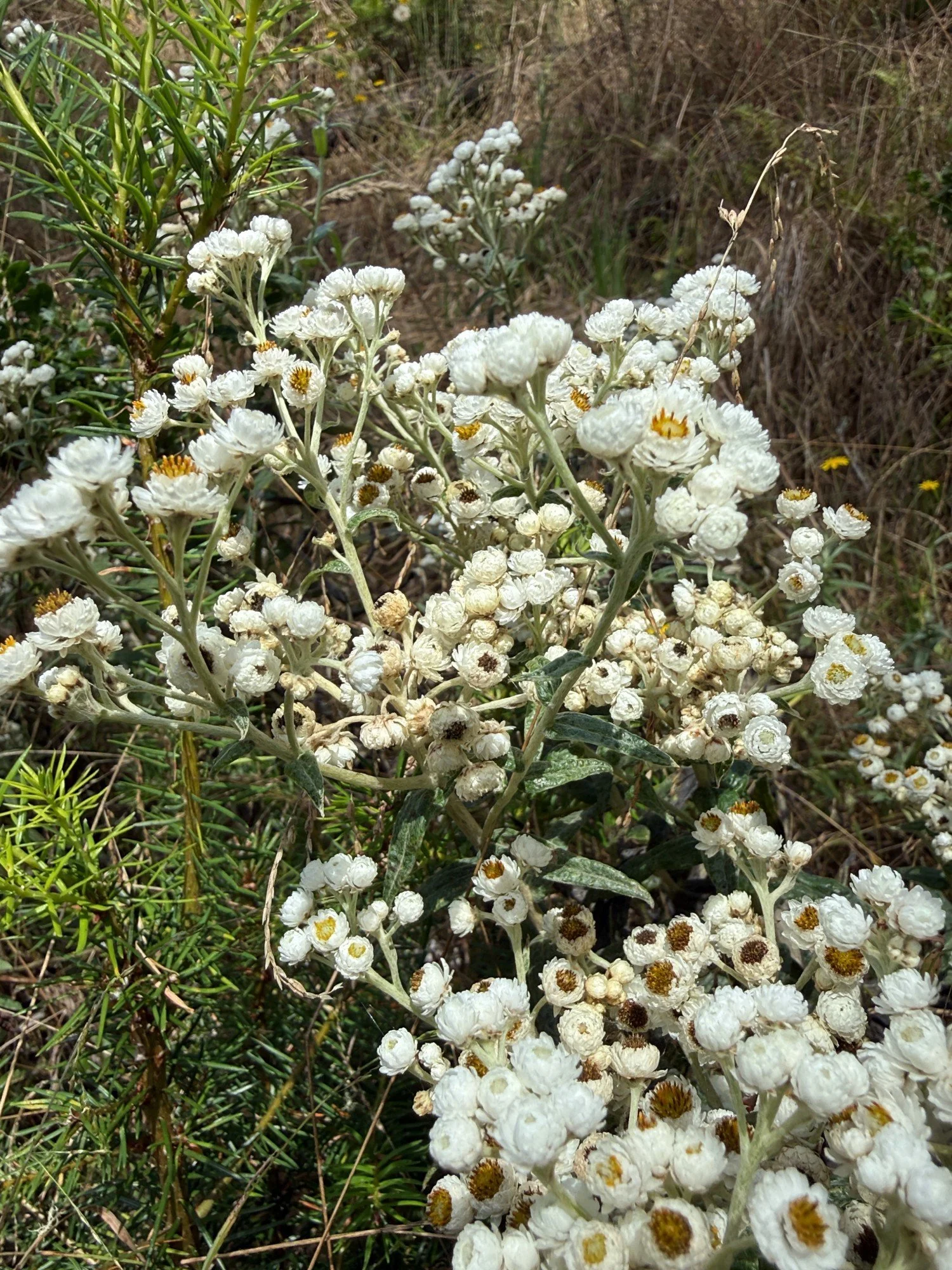
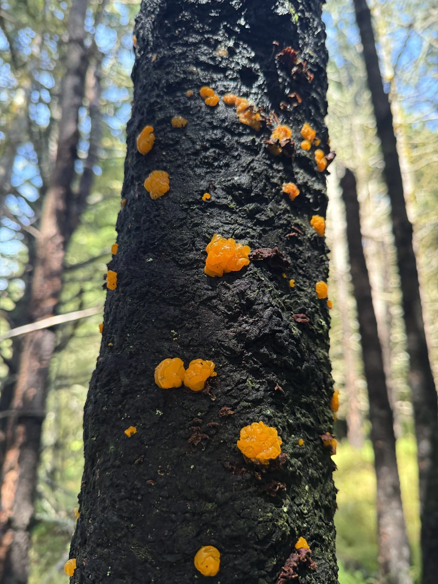
As I came to the last yards of the Z Ranch trail, I encountered a hiker on a parallel trail coming down from the top of Mt Wittenberg. She was headed back to her site at Sky camp. I love hiking alone but I also enjoy exchanging a few words with other hikers. It’s interesting to learn what they’ve discovered and what Point Reyes means to them.
Mt Wittenberg Trail
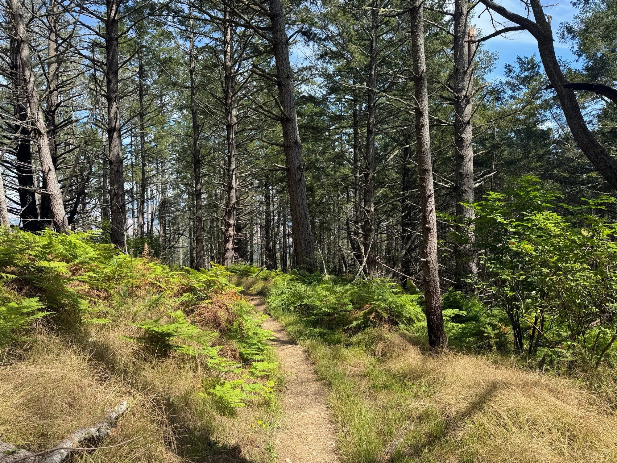
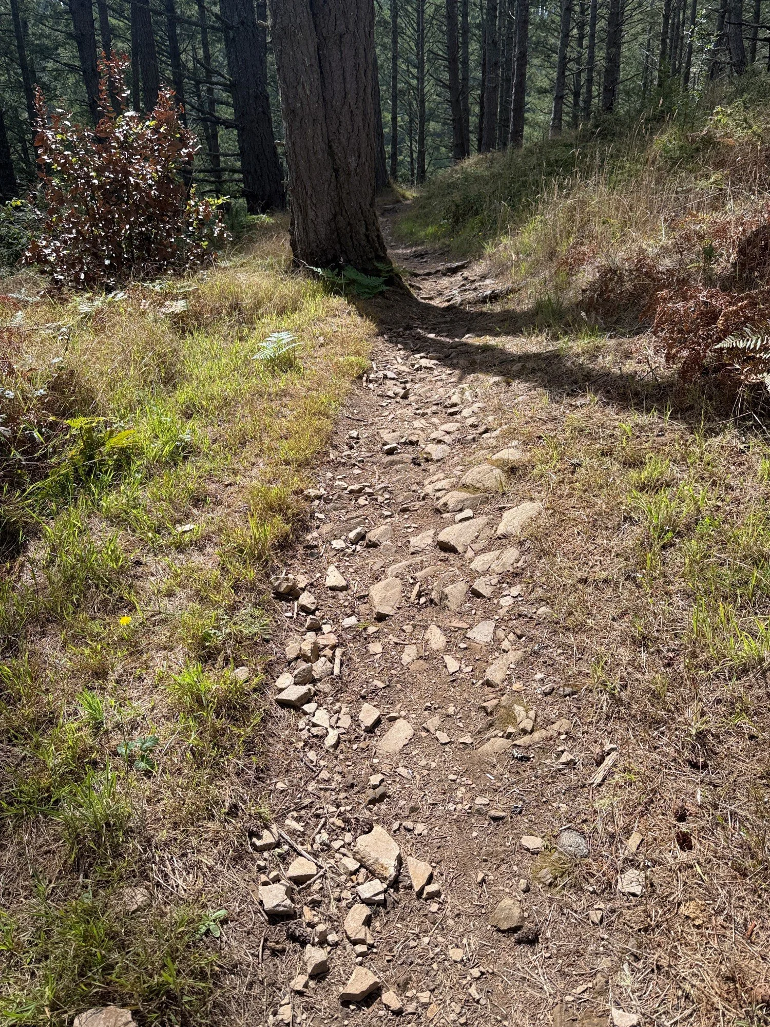
For the last segment of my loop hike, I was eager for the perspective of descending the Mt Wittenberg Trail since I usually hike up the trail — preferring to get the hardest part of the hike done early. What would I see differently coming down? While Horse and Z Ranch are soft dirt paths without many obstacles, Mt Wittenberg is often rocky with tree roots crossing the path and even forming stairs. With so many tripping hazards, your focus shifts down to your feet on the path which sometimes means missing what’s happening in the surrounding forest. Be sure to pause and look around frequently.
Before entering the forest, the trail crossed a large meadow of dried grasses with blue dragonflies circling overhead. Meadows are ideal places to spot butterflies and other insects.
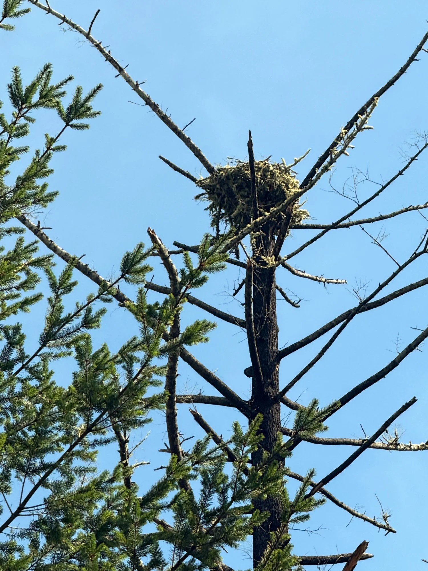
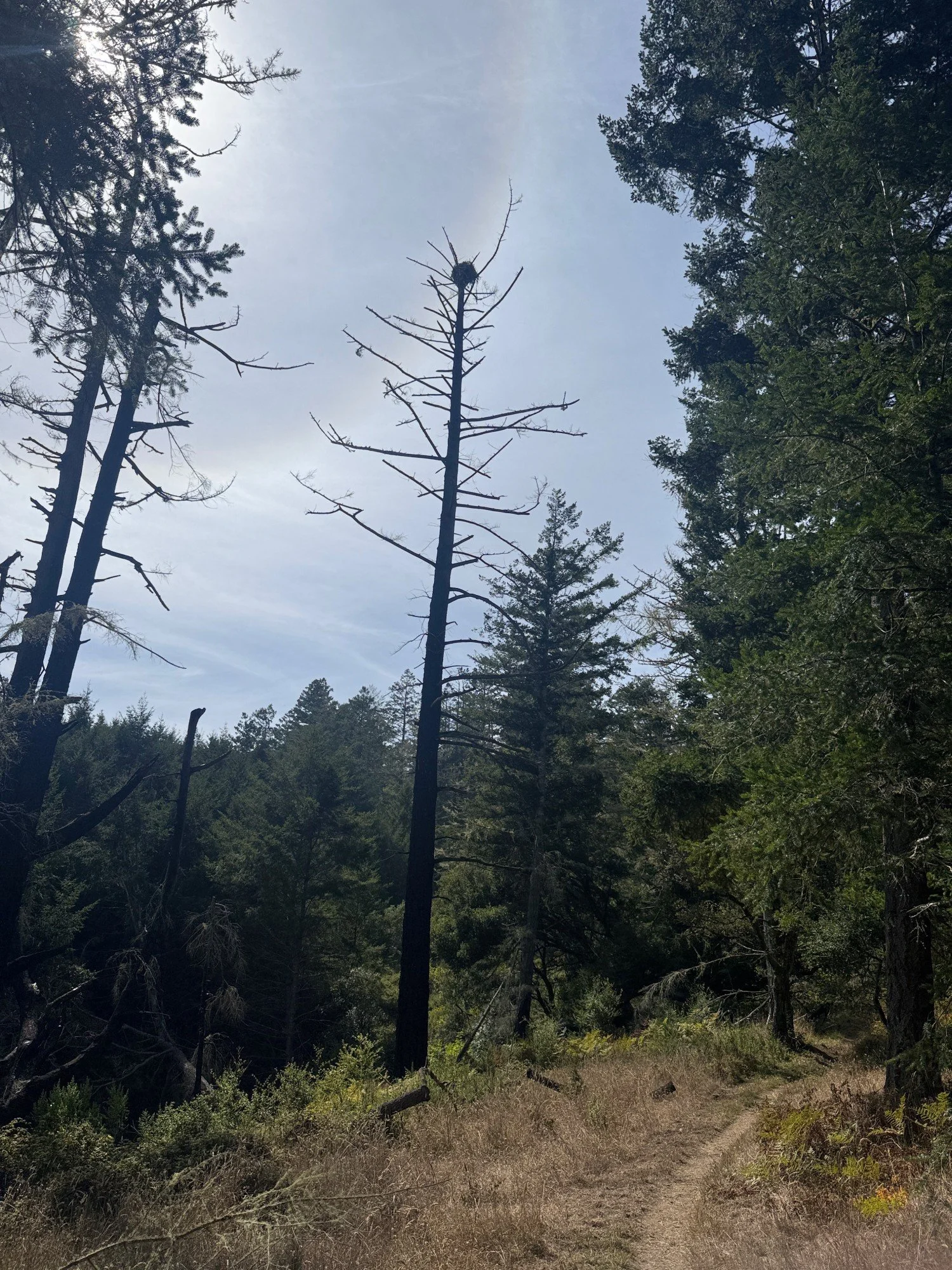
I left the meadow and entered the forest — a steep canyon filled with trees was on the right. This was a great place to hear birds. Merlin heard many of the same birds mentioned earlier but this time I finally saw a Brown Creeper! It spiraled up a Douglas fir trunk then flew to another fir where it spiraled again. It blended in so perfectly against the brown fir trunks. I doubted I would ever spot one. How thrilling! A Red-tailed Hawk was calling repeatedly and I wondered if it was a juvenile begging for food. Merlin heard an Osprey calling many times in a short time span. I didn’t see it but a few minutes later on my hike I spotted an osprey nest on top of a tall snag. Had I just missed the osprey leaving its nest? Was it a juvenile calling from the nest?
A little further down the trail, I was feeling better about my birding skills when I spotted a Western Flycatcher perched low and a Golden-crowned Kinglet across the trail high in a tree. Merlin heard both. The coloring and shapes seemed right but my birding skills are very rudimentary so it may have been wishful thinking. I was delighted to have seen at least a few birds rather than only hearing them! For the sake of completeness, these are the other birds heard on the Mt Wittenberg trail: Chestnut-backed Chickadee, Song Sparrow, Pacific Wren, Northern Flicker, Bewick’s Wren, Wilson’s Warbler, Acorn Woodpecker, Hairy Woodpecker, and California Towhee. The Mt Wittenberg Trail is one of the premier birding trails in Point Reyes National Seashore and is an eBird hotspot. Check out the Mt Wittenberg ebird list of bird species.
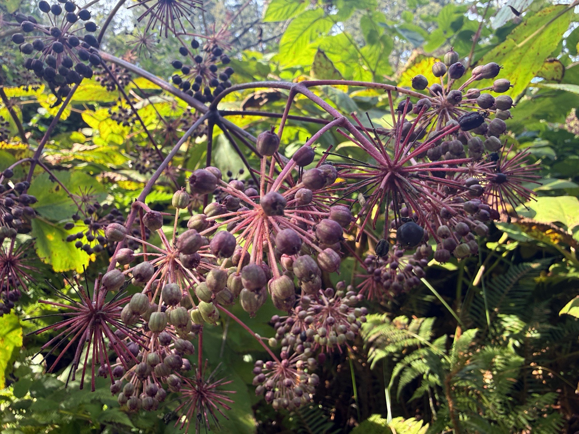
My final magic moment of the day was spotting a Sonoma chipmunk eating California Spikenard berries. I was taking photos of the shrub when I noticed movement. The chipmunk was perched delicately on a stem about ten feet away carefully plucking one berry at a time. After plucking the last berry, it scrambled away.
Returning to my earlier question, how was the perspective different hiking down the Mt Wittenberg Trail? I’m not sure I would have spotted the osprey nest hiking up the trail. It was obscured by other trees as I looked back at it. I took fewer breaks going downhill which meant fewer opportunities to look around closely. Finally, it seemed easier to enjoy distant landscapes through tree clearings going downhill. My conclusion is Mt Wittenberg is a spectacular trail hiked in either direction, especially when you take time to explore — let your knees be the deciding factor.
I give this loop hike a big thumbs up and I hope to include it in the 2027 Point Reyes Hiking Calendar.